Elevation of 58 Main Rd, Lethbridge, NL A0C 1V0, Canada
Location: Canada > Newfoundland And Labrador > Division No. 7 > Division No. 7, Subd. K > Lethbridge >
Longitude: -53.961864
Latitude: 48.2161501
Elevation: 1m / 3feet
Barometric Pressure: 101KPa
Elevation Map:
Satellite Map:
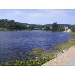
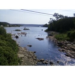
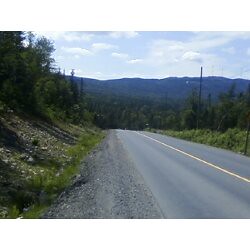
Related Photos:
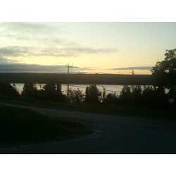
Sunrise Over Random Island

pl07juin11 152
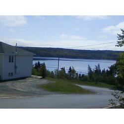
View from our driveway
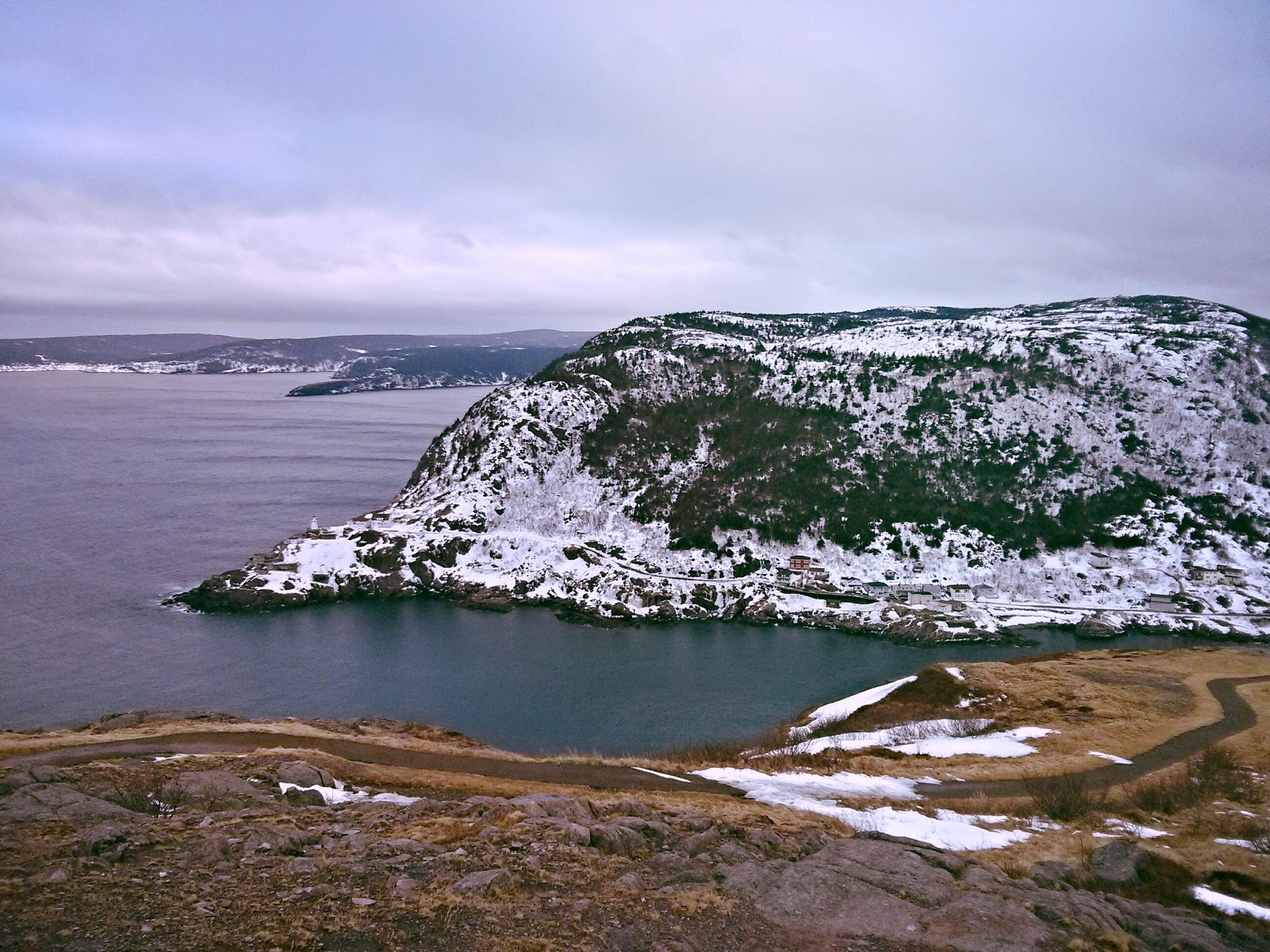
Lighthouse with a mission
Looking towards Bare Mountain
Bridge over the Shoal Harbour River
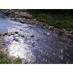
Looking down from the bridge
Looking towards the ocean
Walking home from Walmart
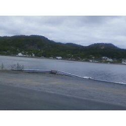
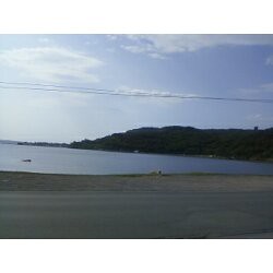
Shoal Harbour from just before the causeway
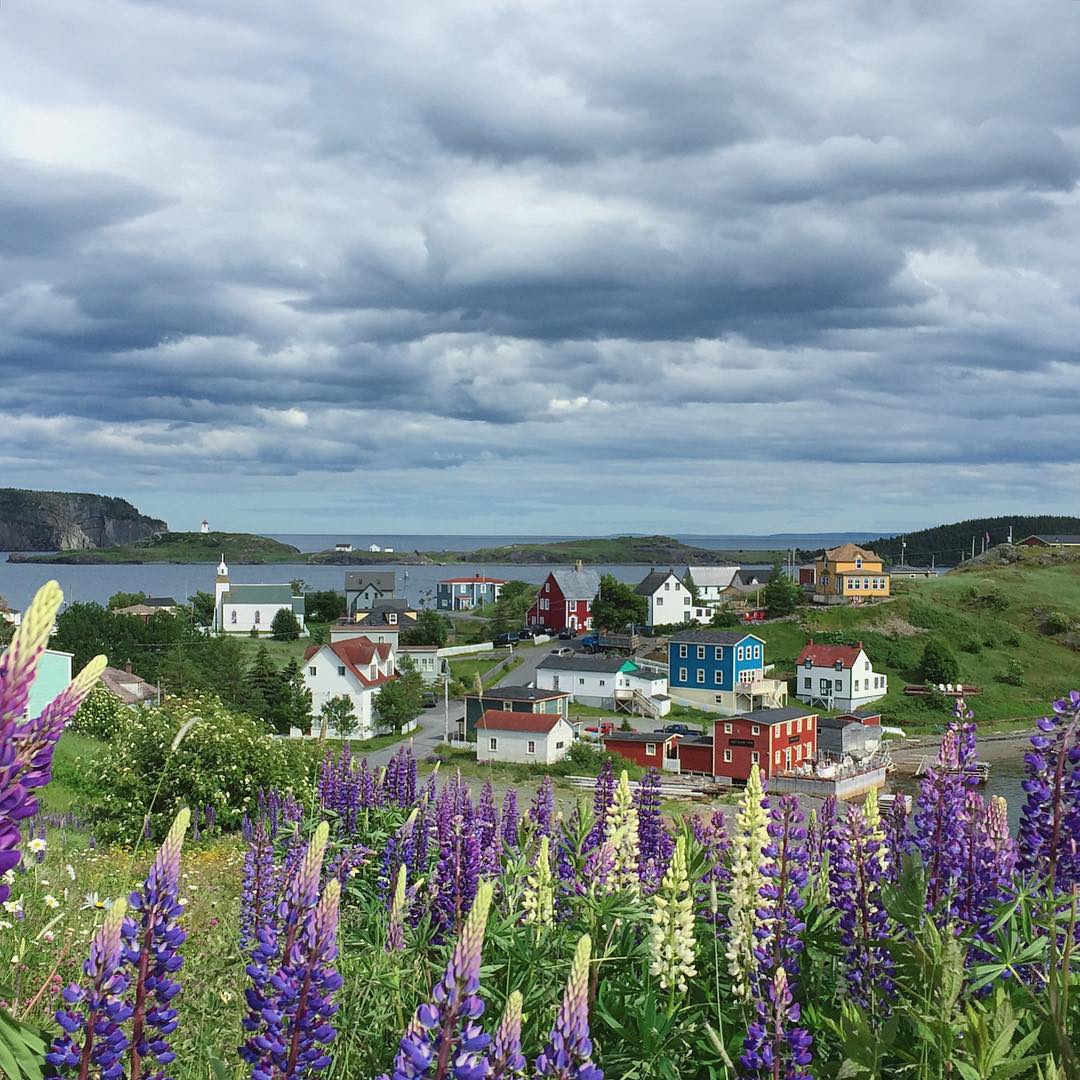
Goodbye, Trinity. Next stop, Bonavista. #trinity #Newfoundland #canada #exploreNL #makemoments #momentwide
Topographic Map of 58 Main Rd, Lethbridge, NL A0C 1V0, Canada
Find elevation by address:

Places near 58 Main Rd, Lethbridge, NL A0C 1V0, Canada:
Clarenville
Main Rd, Charleston, NL A0C 1K0, Canada
Lethbridge
5 Harbour Dr, Hillview, NL A0E 2A0, Canada
North West Brook
North West Brook
North West Brook
North West Brook
North West Brook
North West Brook
North West Brook
North West Brook
North West Brook
North West Brook
North West Brook
North West Brook
Division No. 7, Subd. M
Division No. 7, Subd. M
Division No. 7, Subd. M
Division No. 7, Subd. M
Recent Searches:
- Elevation of Elwyn Dr, Roanoke Rapids, NC, USA
- Elevation of Congressional Dr, Stevensville, MD, USA
- Elevation of Bellview Rd, McLean, VA, USA
- Elevation of Stage Island Rd, Chatham, MA, USA
- Elevation of Shibuya Scramble Crossing, 21 Udagawacho, Shibuya City, Tokyo -, Japan
- Elevation of Jadagoniai, Kaunas District Municipality, Lithuania
- Elevation of Pagonija rock, Kranto 7-oji g. 8"N, Kaunas, Lithuania
- Elevation of Co Rd 87, Jamestown, CO, USA
- Elevation of Tenjo, Cundinamarca, Colombia
- Elevation of Côte-des-Neiges, Montreal, QC H4A 3J6, Canada