Elevation of Main Rd, Charleston, NL A0C 1K0, Canada
Location: Canada > Newfoundland And Labrador > Division No. 7 > Division No. 7, Subd. K >
Longitude: -53.815867
Latitude: 48.1968167
Elevation: 29m / 95feet
Barometric Pressure: 101KPa
Elevation Map:
Satellite Map:
Related Photos:
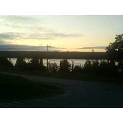
Sunrise Over Random Island
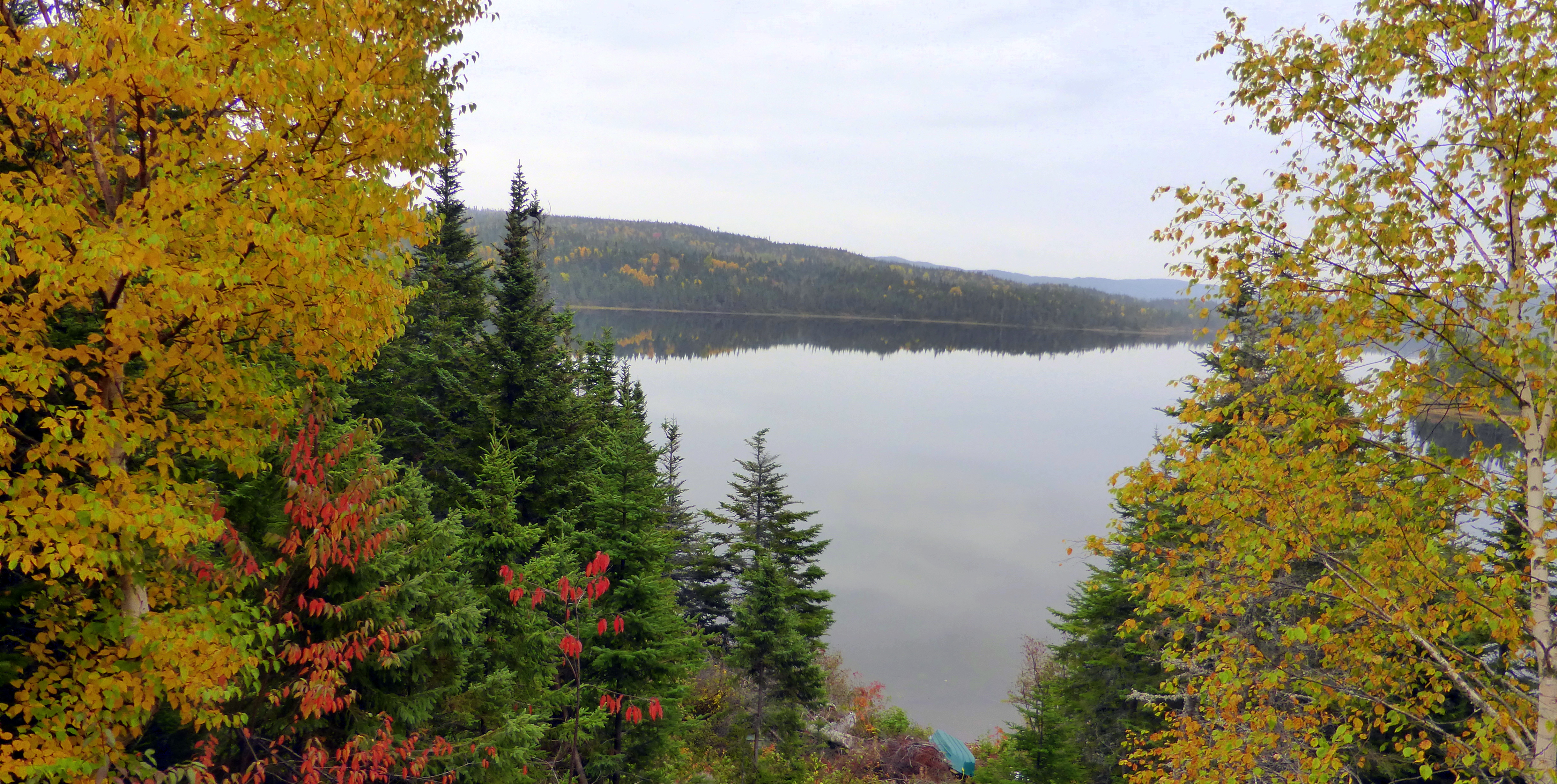
View from the cabin on Random Island.
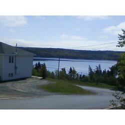
View from our driveway
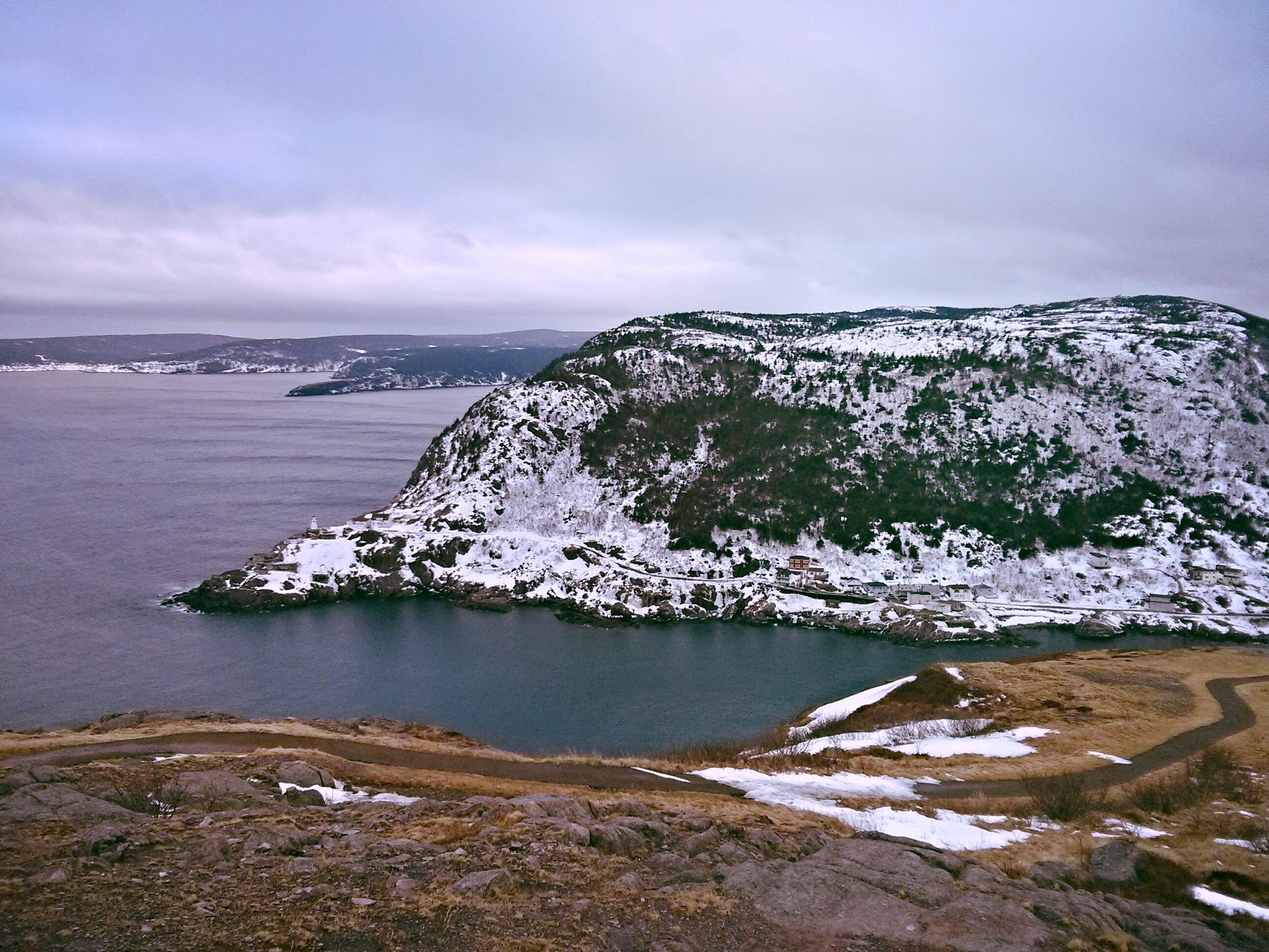
Lighthouse with a mission
Looking towards Bare Mountain
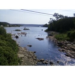
Bridge over the Shoal Harbour River
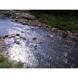
Looking down from the bridge
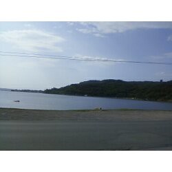
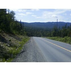
Looking towards the ocean
Walking home from Walmart
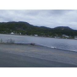
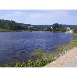
Shoal Harbour from just before the causeway

From Random Island, NL

Old Fence & Irises

Fishing Stage

Old Fence
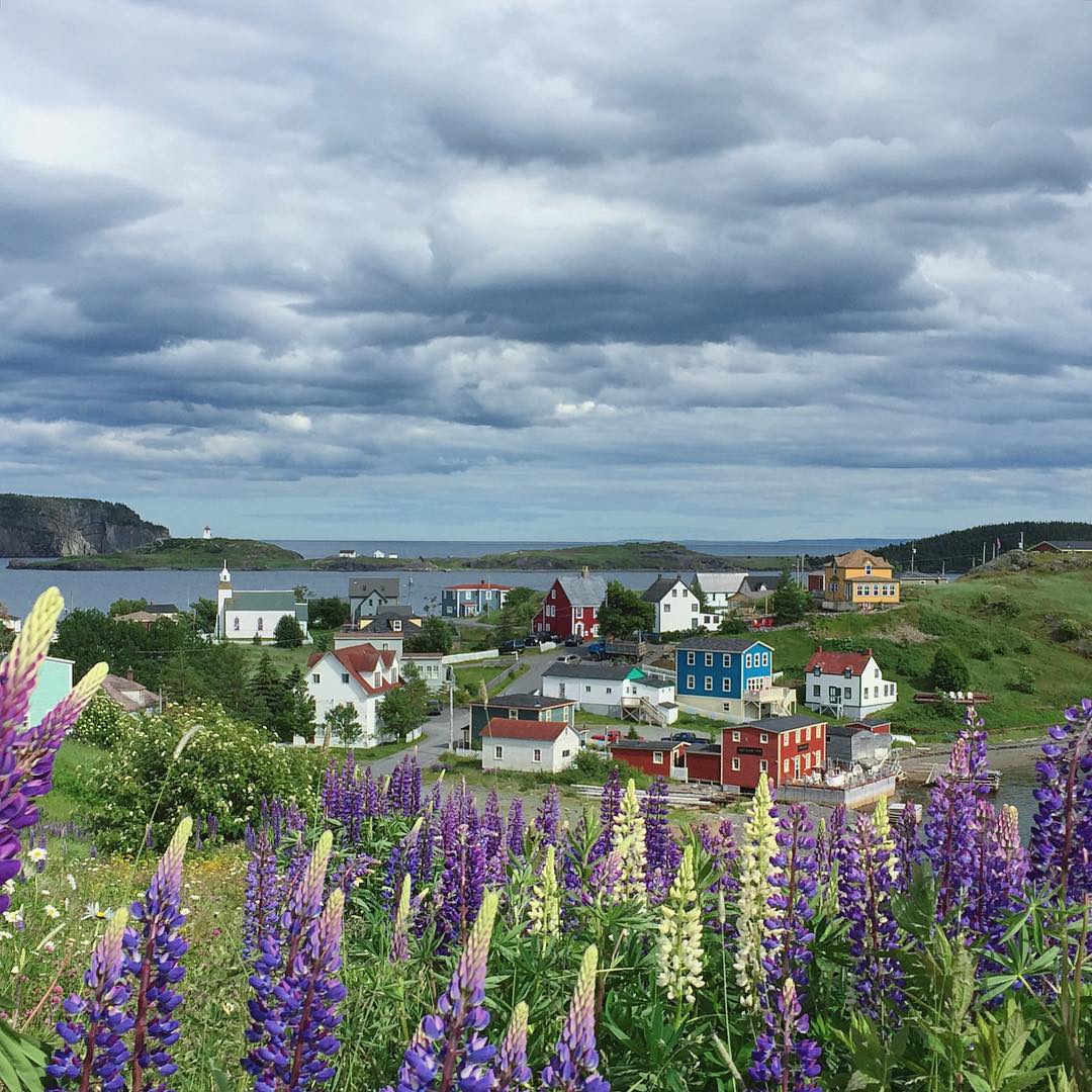
Goodbye, Trinity. Next stop, Bonavista. #trinity #Newfoundland #canada #exploreNL #makemoments #momentwide
Topographic Map of Main Rd, Charleston, NL A0C 1K0, Canada
Find elevation by address:

Places near Main Rd, Charleston, NL A0C 1K0, Canada:
Burgoyne's Cove
Random Island Rd, Burgoyne's Cove, NL A0C 1G0, Canada
Hickman's Harbour
Main Rd, Burgoyne's Cove, NL A0C 1G0, Canada
58 Main Rd, Lethbridge, NL A0C 1V0, Canada
Clarenville
Division No. 7, Subd. M
Division No. 7, Subd. M
Division No. 7, Subd. M
Division No. 7, Subd. M
Division No. 7, Subd. M
Division No. 7, Subd. M
Division No. 7, Subd. M
Division No. 7, Subd. M
Division No. 7, Subd. M
Division No. 7, Subd. M
Division No. 7, Subd. M
Lethbridge
Division No. 7, Subd. K
Division No. 7, Subd. L
Recent Searches:
- Elevation of Woodland Oak Pl, Thousand Oaks, CA, USA
- Elevation of Brownsdale Rd, Renfrew, PA, USA
- Elevation of Corcoran Ln, Suffolk, VA, USA
- Elevation of Mamala II, Sariaya, Quezon, Philippines
- Elevation of Sarangdanda, Nepal
- Elevation of 7 Waterfall Way, Tomball, TX, USA
- Elevation of SW 57th Ave, Portland, OR, USA
- Elevation of Crocker Dr, Vacaville, CA, USA
- Elevation of Pu Ngaol Community Meeting Hall, HWHM+3X7, Krong Saen Monourom, Cambodia
- Elevation of Royal Ontario Museum, Queens Park, Toronto, ON M5S 2C6, Canada