Elevation of North West Brook, NL, Canada
Location: Canada > Newfoundland And Labrador > Division No. 7 > Division No. 7, Subd. M >
Longitude: -53.949128
Latitude: 48.0186908
Elevation: 58m / 190feet
Barometric Pressure: 101KPa
Elevation Map:
Satellite Map:
Related Photos:
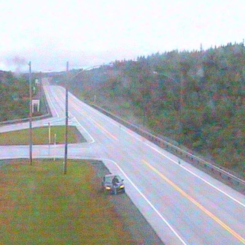
Highway Camera at Goobies, Newfoundland

Merry Christmas
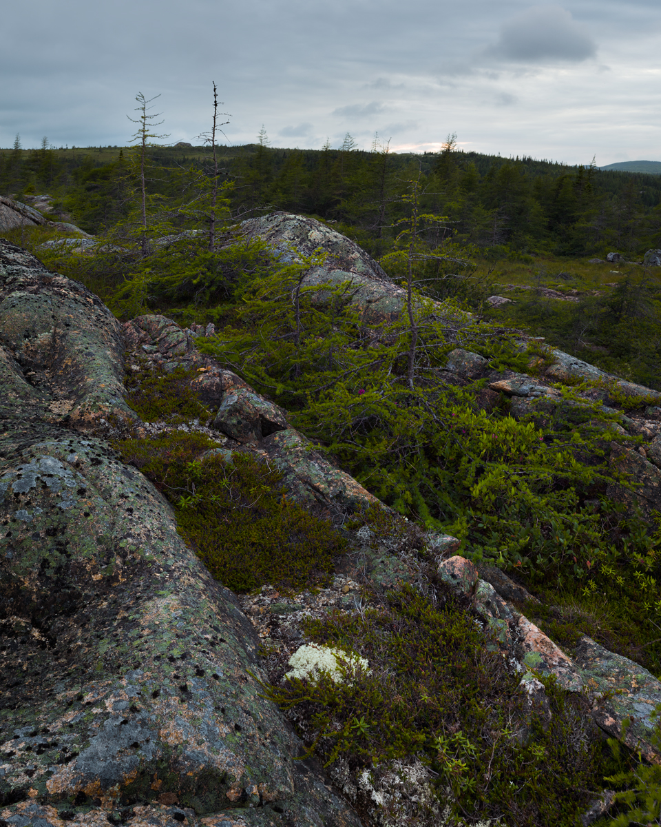
Scrubby Trees

NLL 31800 Clarenville

Window Reflections

Barn Door

Old Red Barn

Michael Demmons

Clarenville, NL

Moving Day: Cuddles helping with K's bed
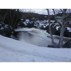
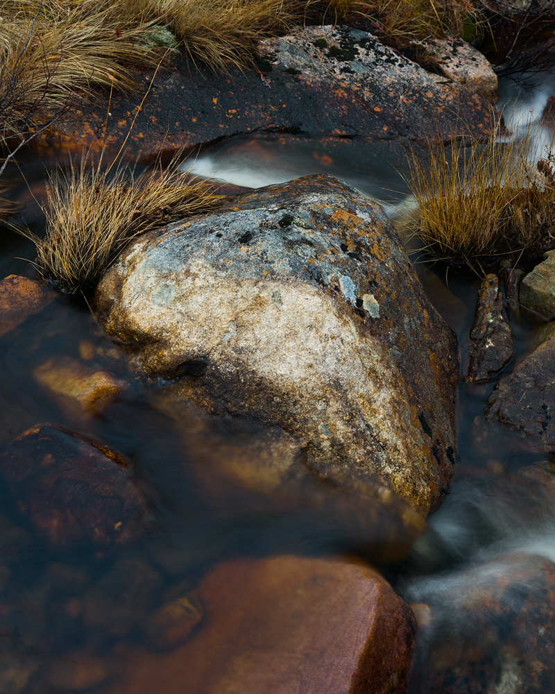
Waterfall :)
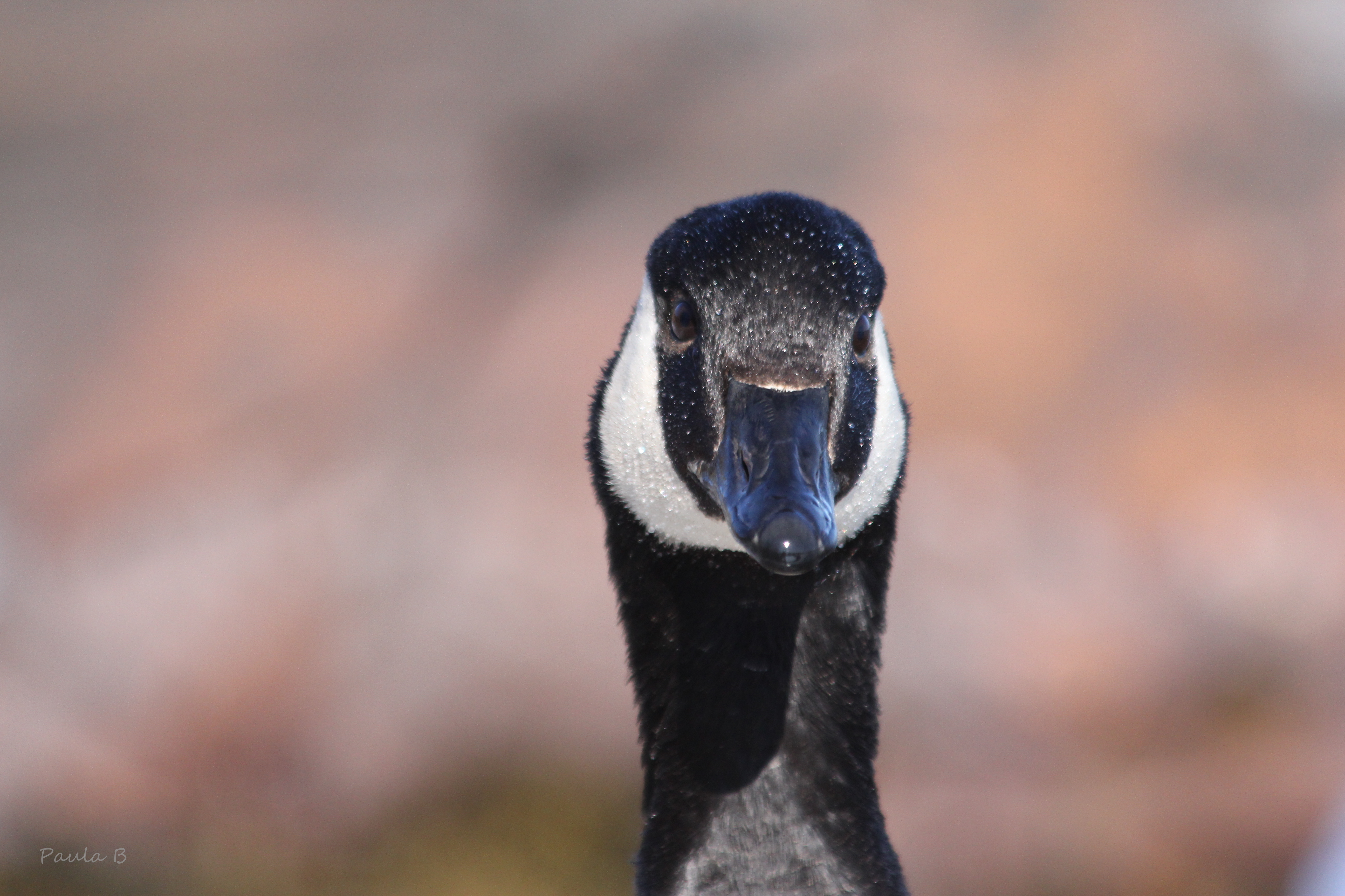
Portrait of a Canada Goose

Mirror, Mirror
It Is What It Is

Random Island, NL

17 Municipal Sq. Clarenville, NF
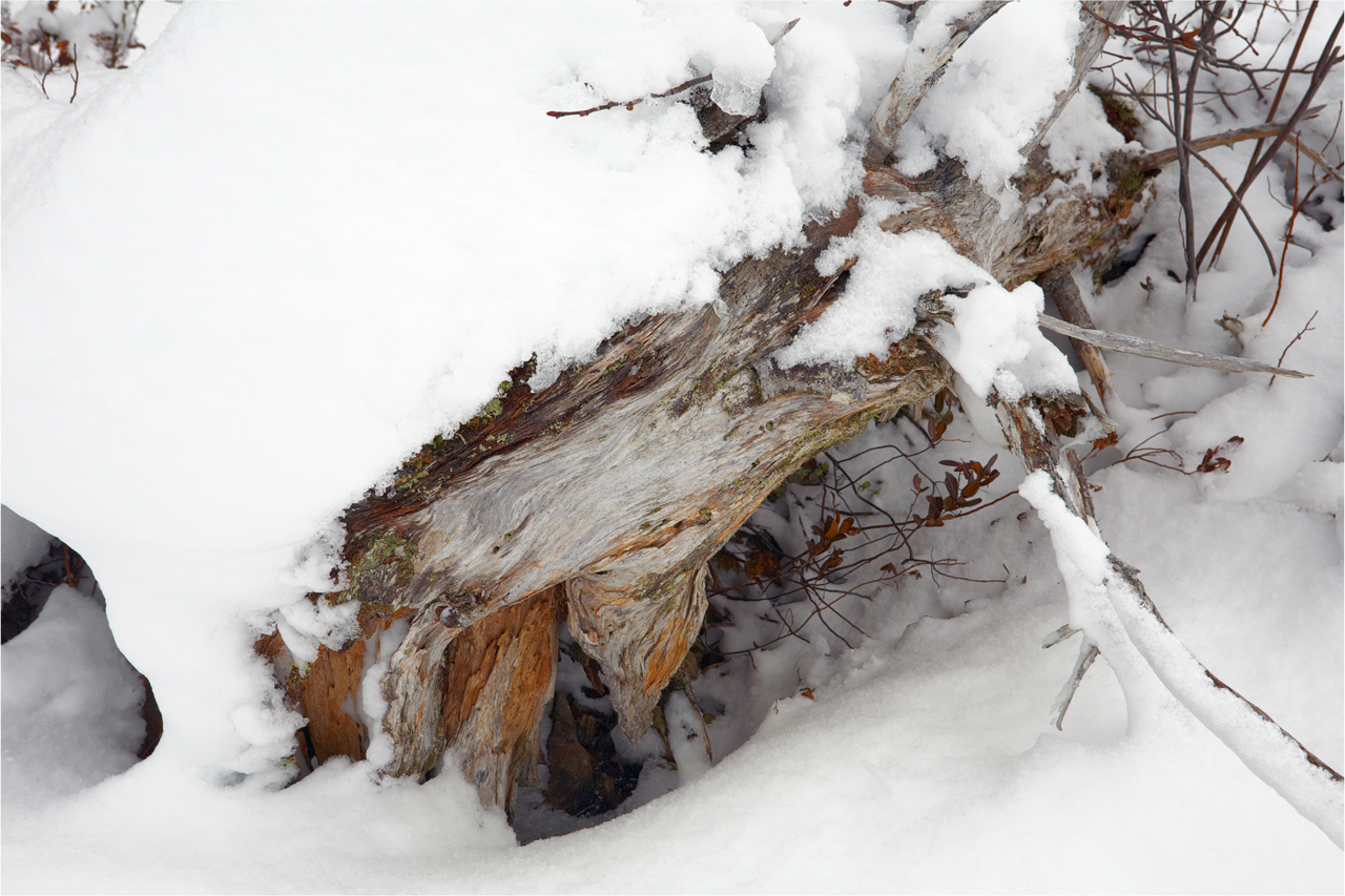
Dead Tree Under Snow

And they're blue like your eyes
DSC_2975 [640x480]

Amaka Deals

Amaka's Camera

Paused and Wondered
Topographic Map of North West Brook, NL, Canada
Find elevation by address:

Places near North West Brook, NL, Canada:
North West Brook
North West Brook
North West Brook
North West Brook
North West Brook
North West Brook
North West Brook
North West Brook
North West Brook
North West Brook
North West Brook
5 Harbour Dr, Hillview, NL A0E 2A0, Canada
Division No. 7, Subd. M
Division No. 7, Subd. M
Division No. 7, Subd. M
Division No. 7, Subd. M
Division No. 7, Subd. M
Division No. 7, Subd. M
Division No. 7, Subd. M
Division No. 7, Subd. M
Recent Searches:
- Elevation of Corso Fratelli Cairoli, 35, Macerata MC, Italy
- Elevation of Tallevast Rd, Sarasota, FL, USA
- Elevation of 4th St E, Sonoma, CA, USA
- Elevation of Black Hollow Rd, Pennsdale, PA, USA
- Elevation of Oakland Ave, Williamsport, PA, USA
- Elevation of Pedrógão Grande, Portugal
- Elevation of Klee Dr, Martinsburg, WV, USA
- Elevation of Via Roma, Pieranica CR, Italy
- Elevation of Tavkvetili Mountain, Georgia
- Elevation of Hartfords Bluff Cir, Mt Pleasant, SC, USA