Elevation of 55 Old State Hwy N, Morehead, KY, USA
Location: United States > Kentucky > Rowan County > Morehead >
Longitude: -83.546227
Latitude: 38.1421784
Elevation: 207m / 679feet
Barometric Pressure: 99KPa
Elevation Map:
Satellite Map:
Related Photos:

20110715-RD-LSC-0521
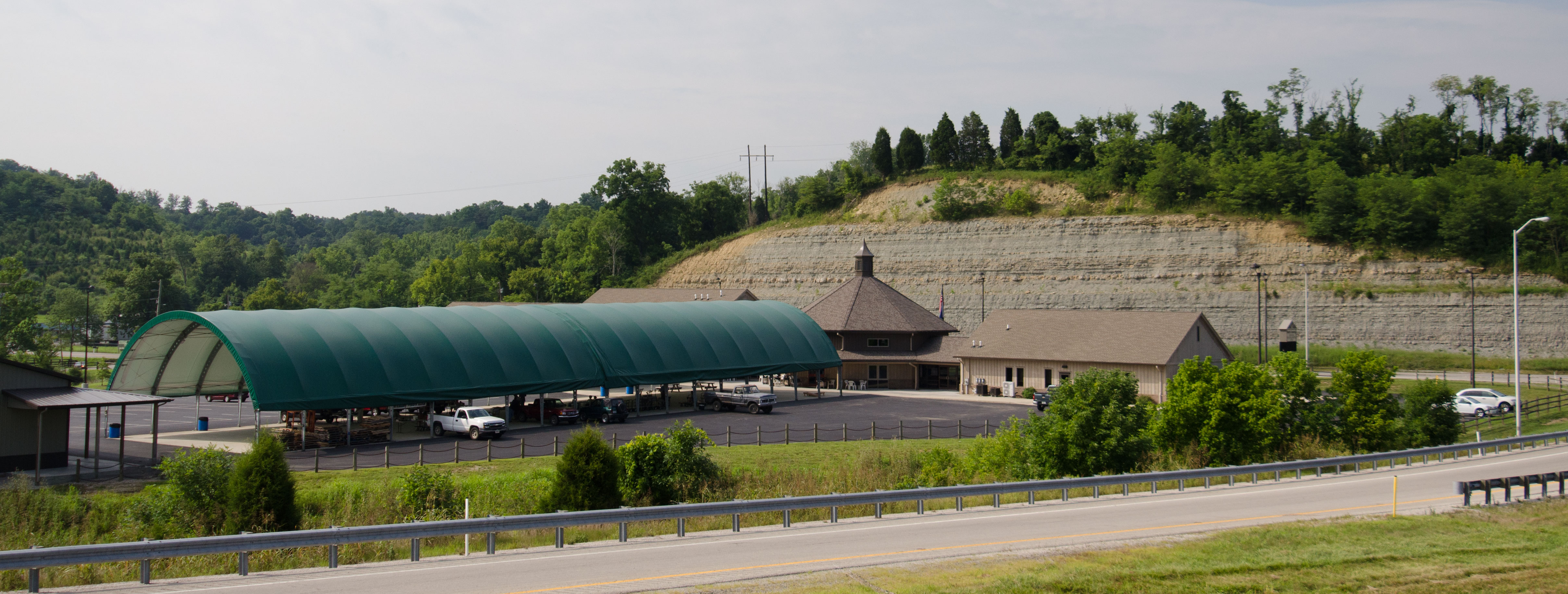
20110715-RD-LSC-0323
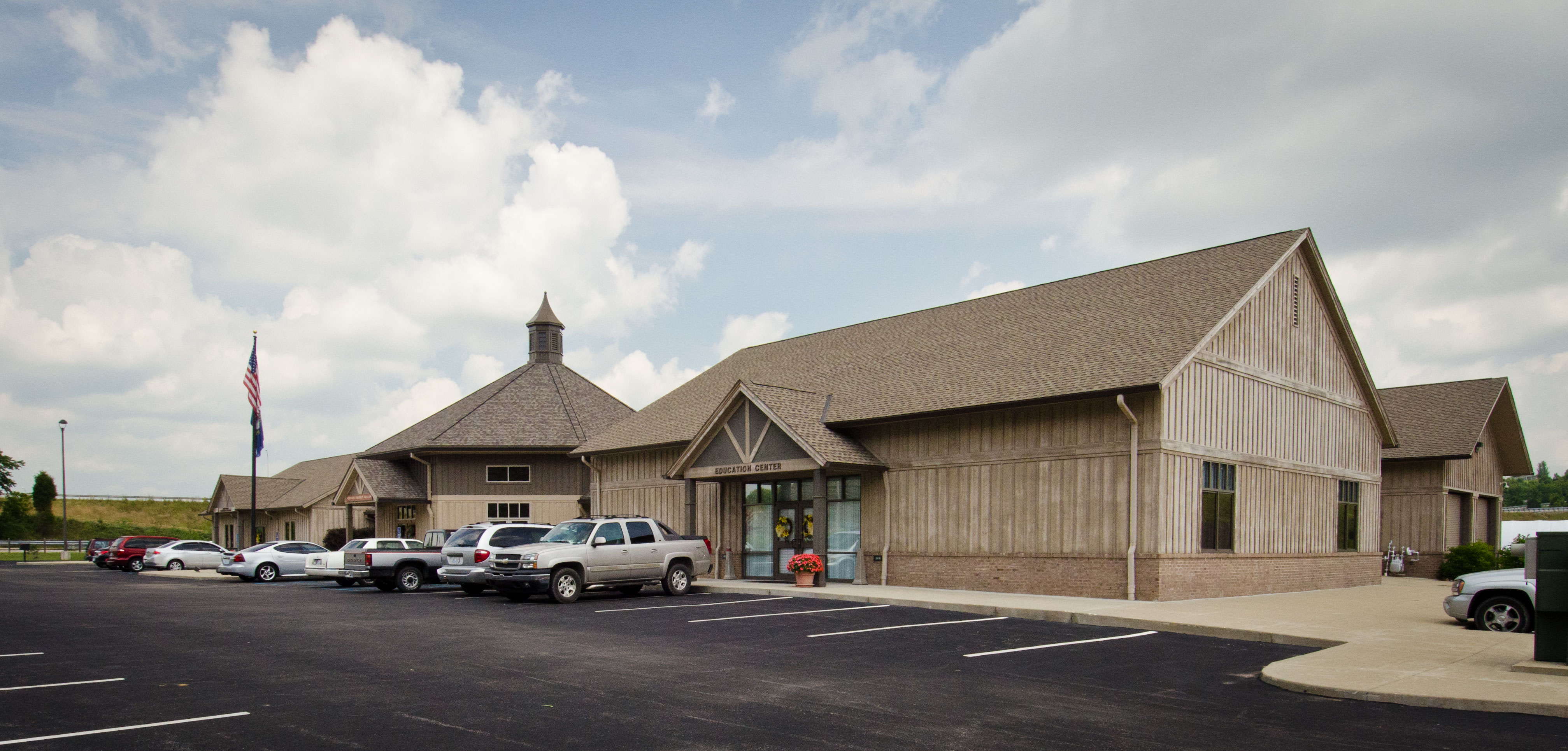
20110715-RD-LSC-0389
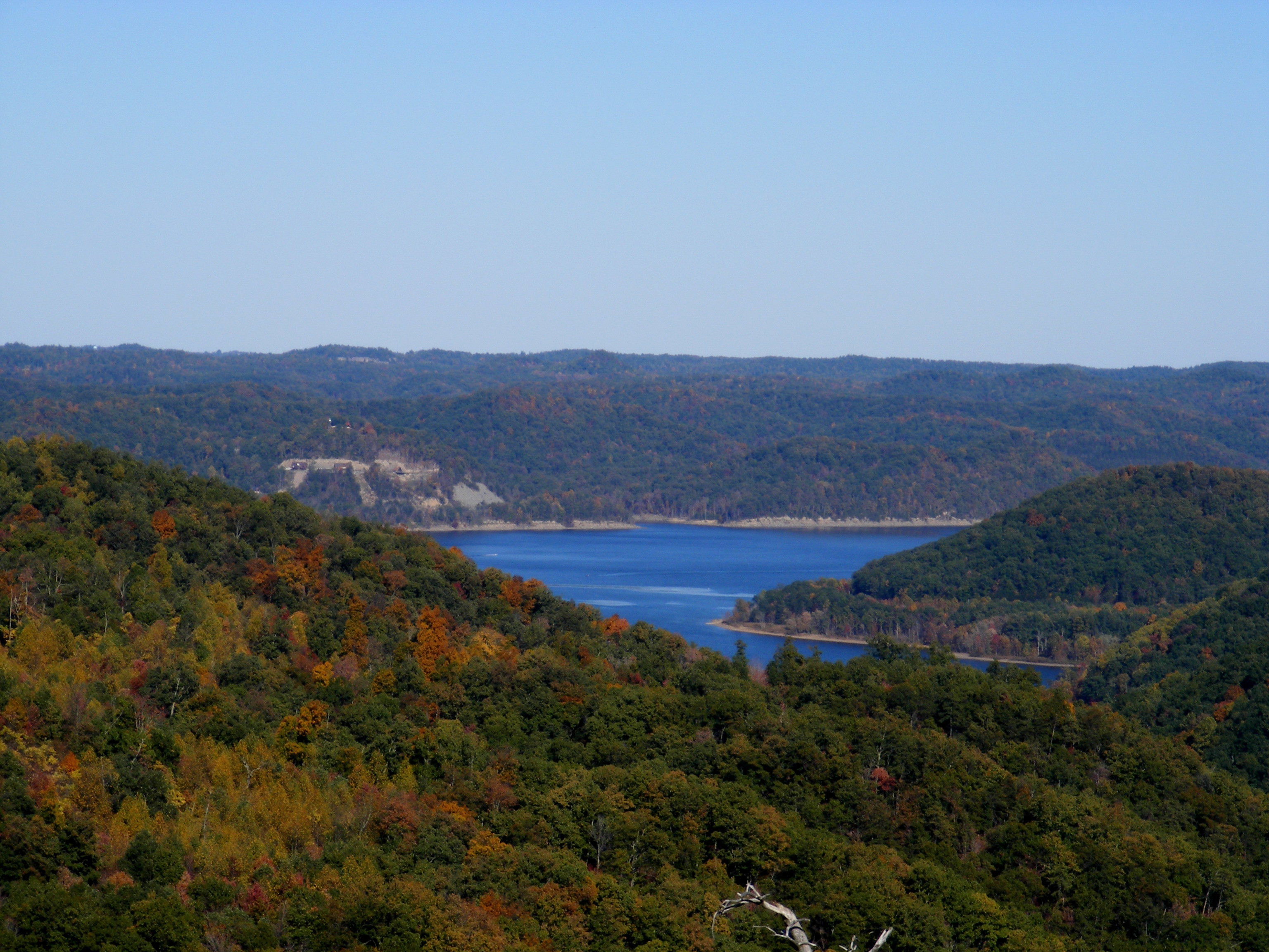
Cave Run Lake - Tater Knob Fire Tower
view of the lake from the tower
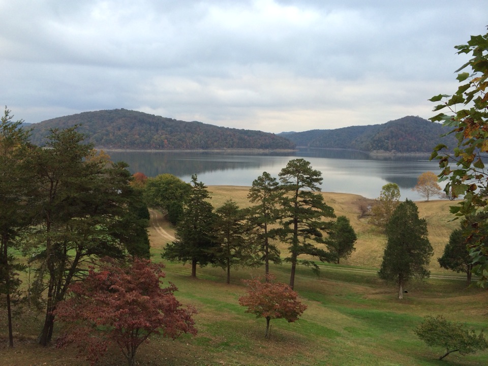
Cassidy Estate View
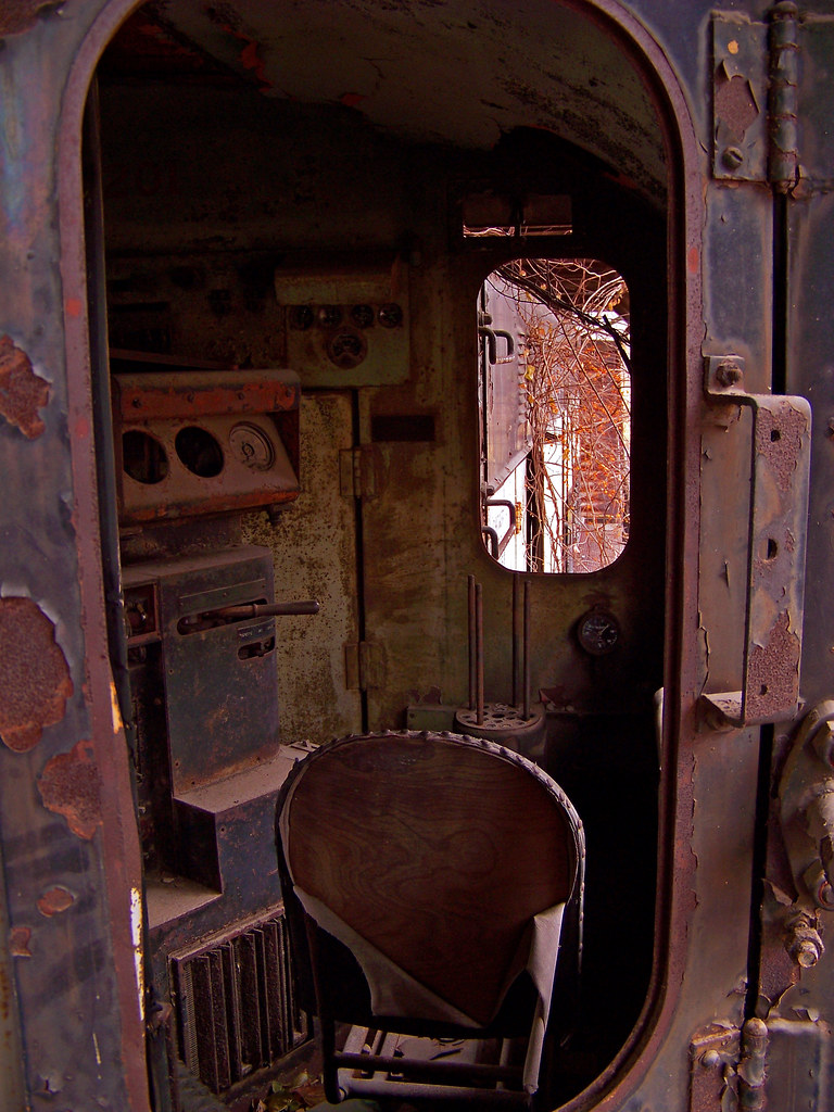
Engine Engine # 9
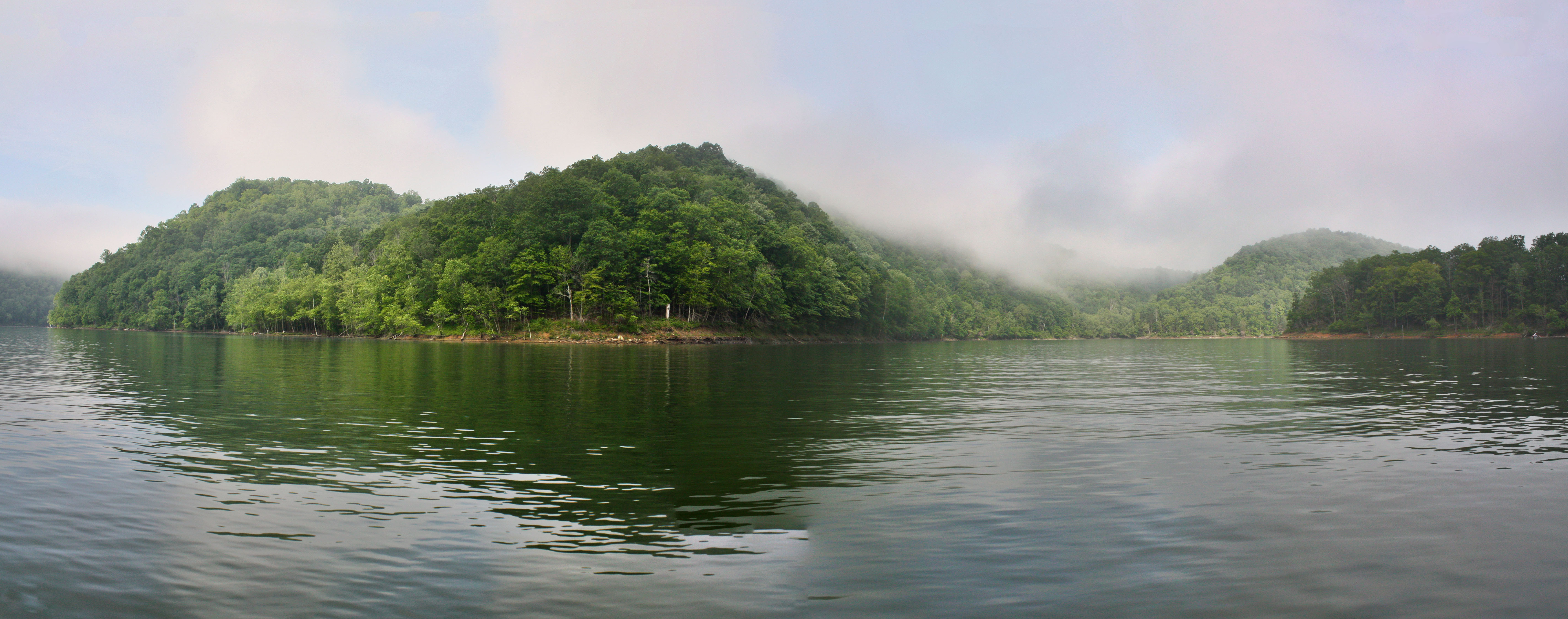
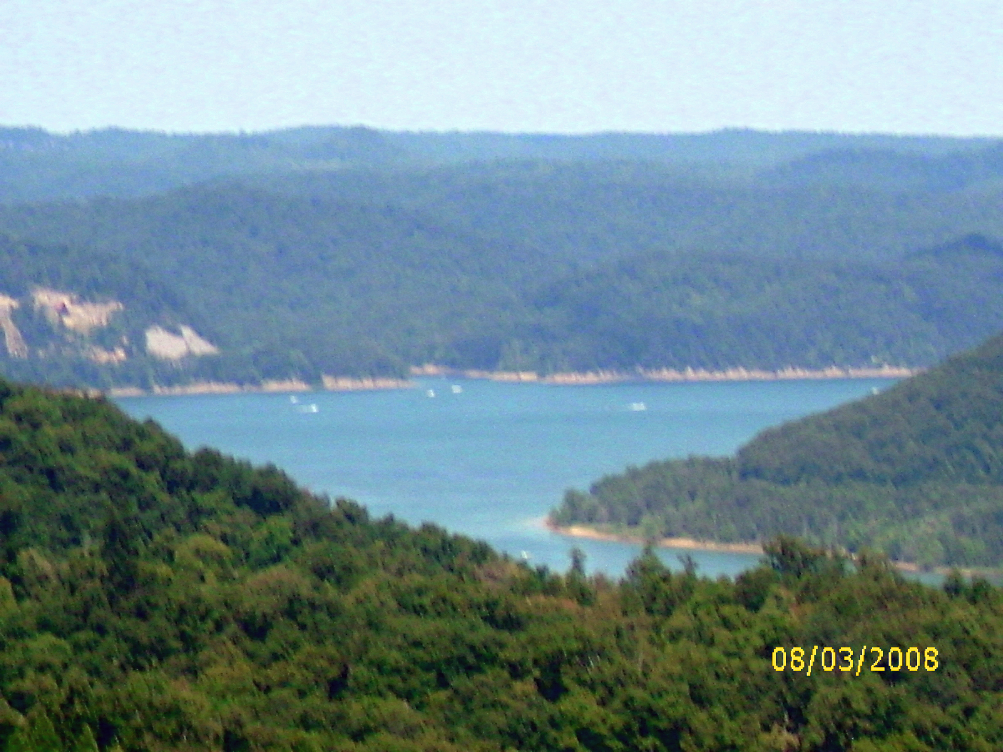
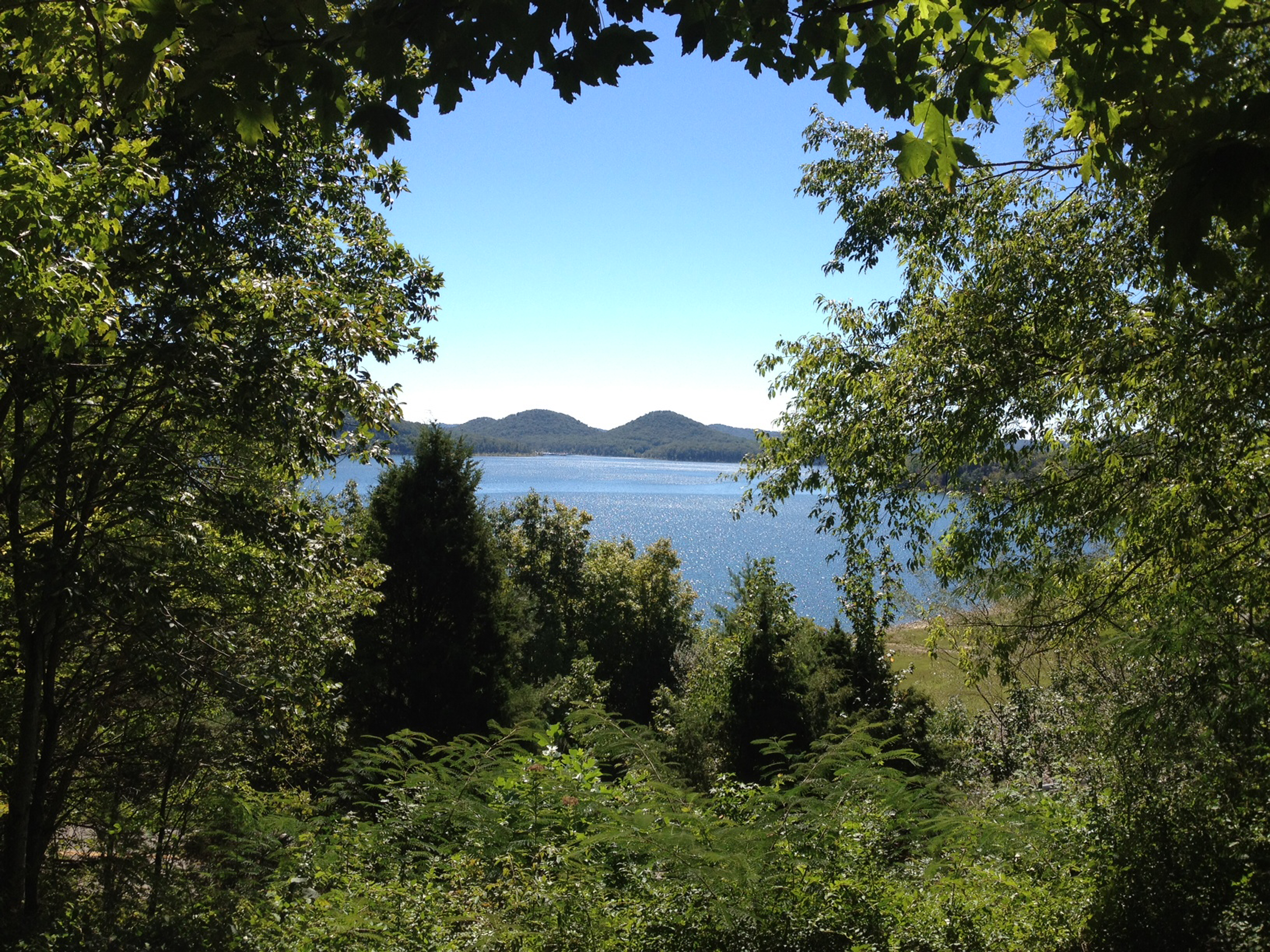
Another Panorama of the Lake
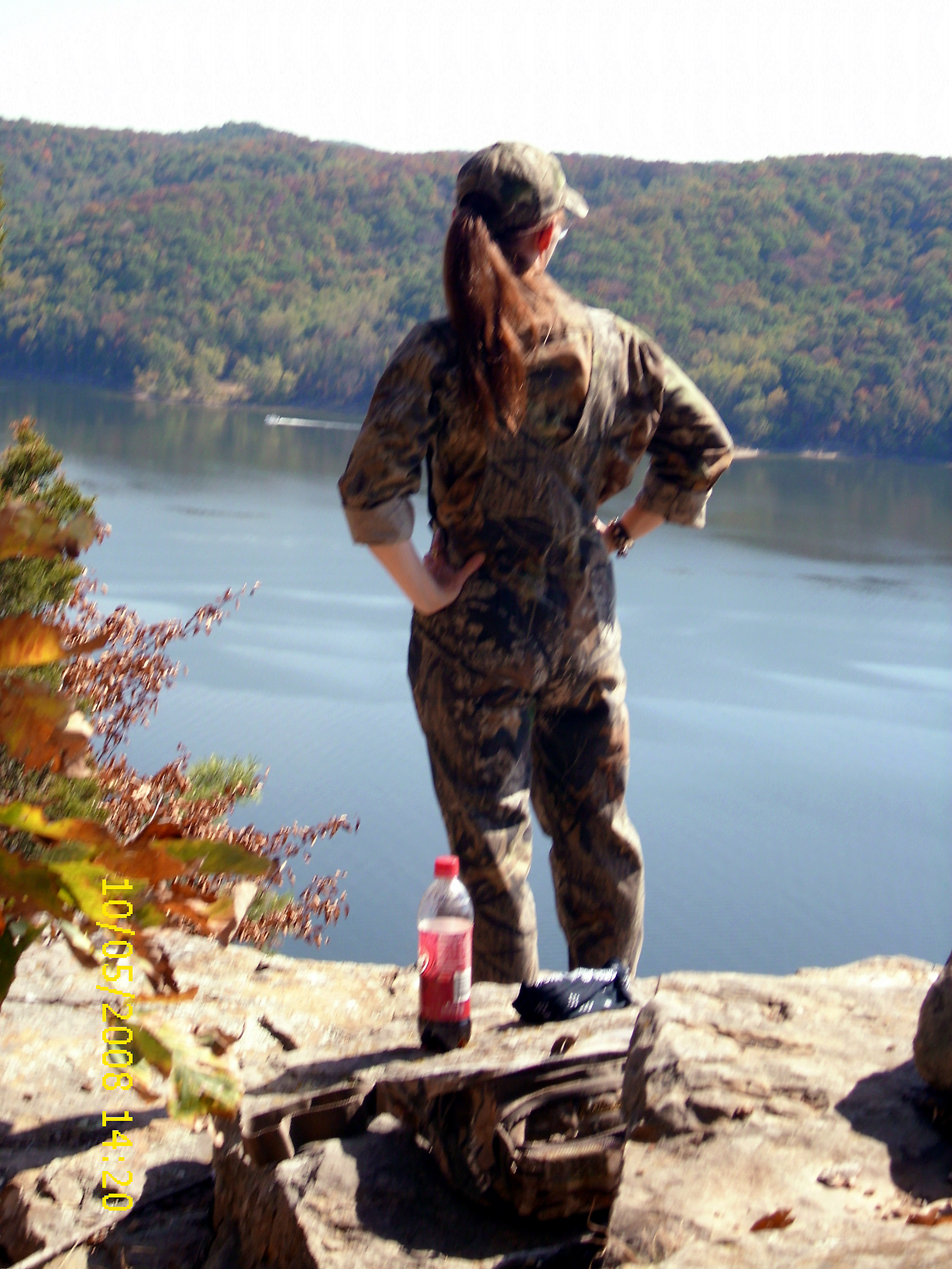
View from Look Out Rock
I Said Go

20110715-RD-LSC-0001
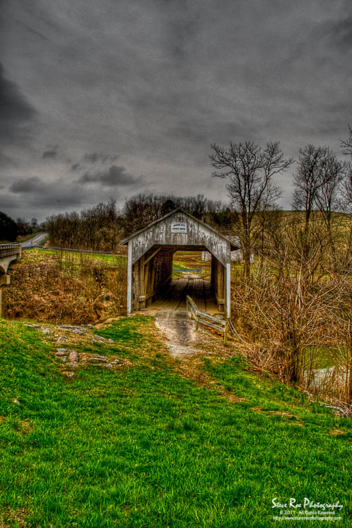
Grange City Bridge 1

MVC-295F

Trudged thru 24 miles ~12 was deep mud. Swim time!
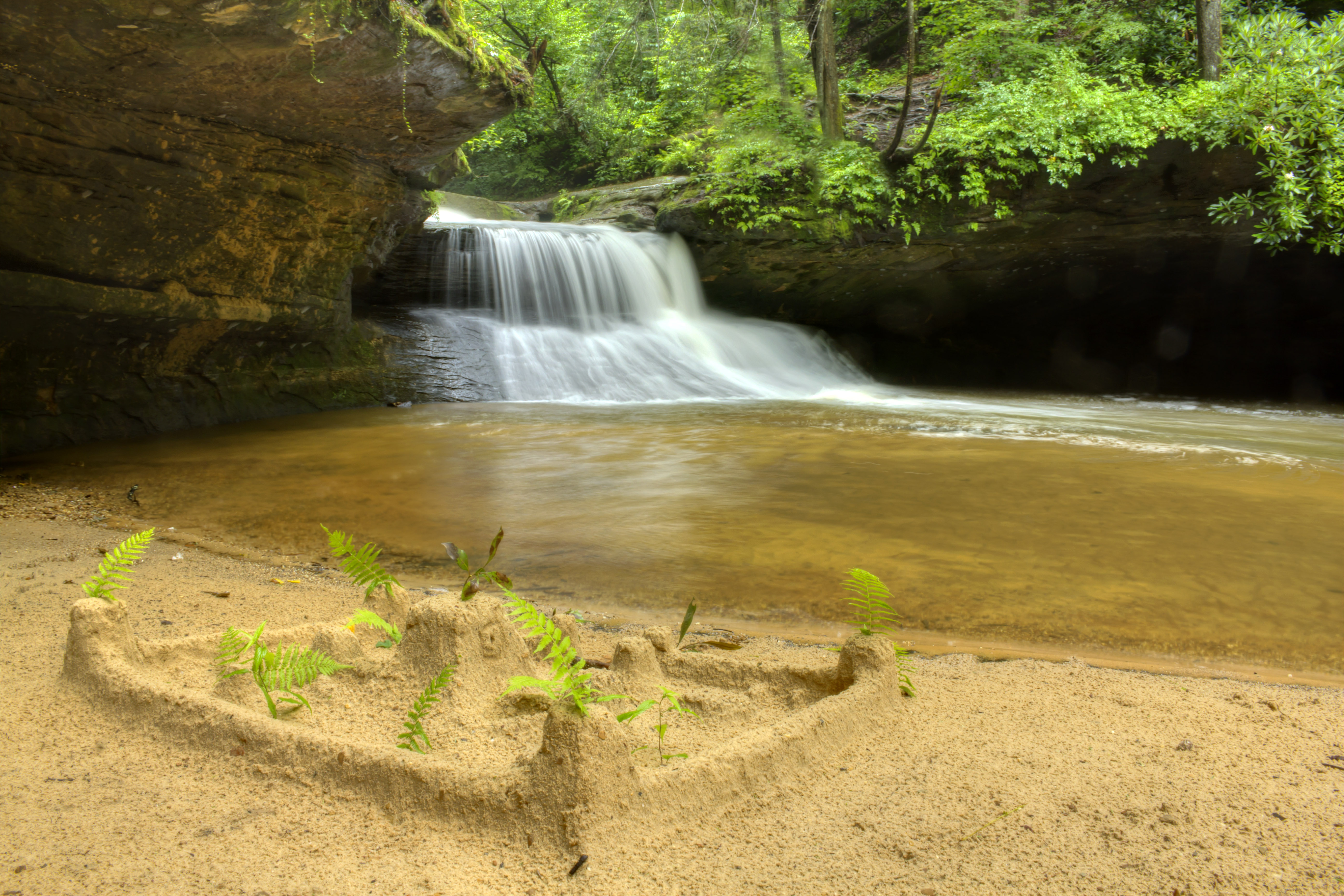
Creation Falls 3, Daniel Boone National Forest, Wolfe Co, KY
looking right

A bad day at the lake is better than any good day at work.
MSU Lake
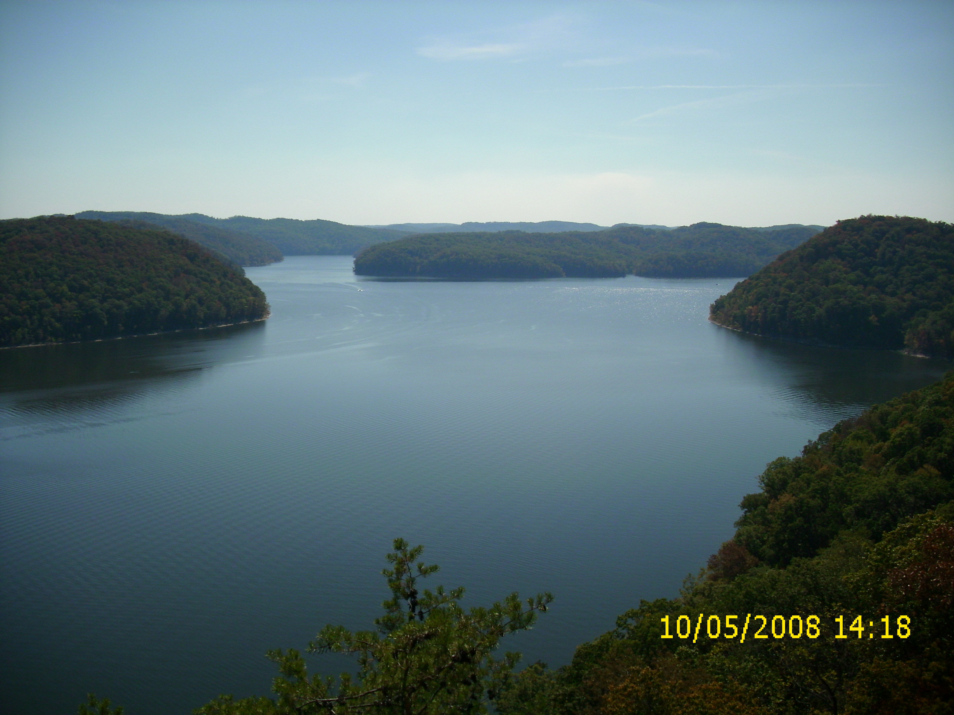
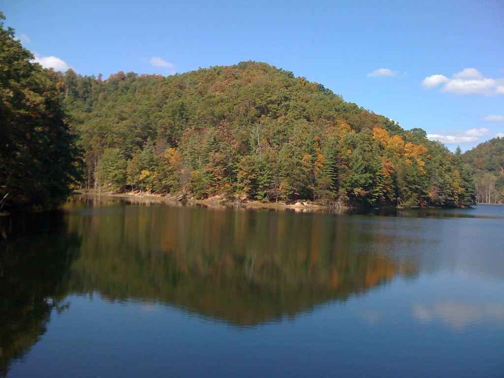
Cave Run Lake

Mt. Lockegee Panorama

Mt. Lockegee, Clearfield, KY
Kodak 7240
The decent into Morehead off the Sheltowee Trace Trail . This one would have my brakes literally smoking.

The decent into Morehead off the Sheltowee Trace Trail . This one would have my brakes literally smoking.
Topographic Map of 55 Old State Hwy N, Morehead, KY, USA
Find elevation by address:

Places near 55 Old State Hwy N, Morehead, KY, USA:
Cave Run Lake Road
Freestone Rd, Morehead, KY, USA
US-60, Salt Lick, KY, USA
Lakeview Heights
Twin Knobs Campground
Interstate 64
Salt Lick
86 Caney Ave
444 Forest Hills Dr
76 Limousine Ln
Moores Ferry Rd, Salt Lick, KY, USA
Zilpo Recreation Area
KY-, Hillsboro, KY, USA
Tater Knob
Rowan County
555 Viking Dr
555 Viking Dr
Dogwood Lane
3980 Ky-32
10 Newcastle Ln
Recent Searches:
- Elevation of Congressional Dr, Stevensville, MD, USA
- Elevation of Bellview Rd, McLean, VA, USA
- Elevation of Stage Island Rd, Chatham, MA, USA
- Elevation of Shibuya Scramble Crossing, 21 Udagawacho, Shibuya City, Tokyo -, Japan
- Elevation of Jadagoniai, Kaunas District Municipality, Lithuania
- Elevation of Pagonija rock, Kranto 7-oji g. 8"N, Kaunas, Lithuania
- Elevation of Co Rd 87, Jamestown, CO, USA
- Elevation of Tenjo, Cundinamarca, Colombia
- Elevation of Côte-des-Neiges, Montreal, QC H4A 3J6, Canada
- Elevation of Bobcat Dr, Helena, MT, USA