Elevation of Salt Lick, KY, USA
Location: United States > Kentucky > Bath County >
Longitude: -83.614634
Latitude: 38.1200809
Elevation: 206m / 676feet
Barometric Pressure: 99KPa
Elevation Map:
Satellite Map:
Related Photos:
Cassidy Estate View

20110715-RD-LSC-0521
20110715-RD-LSC-0323
20110715-RD-LSC-0389
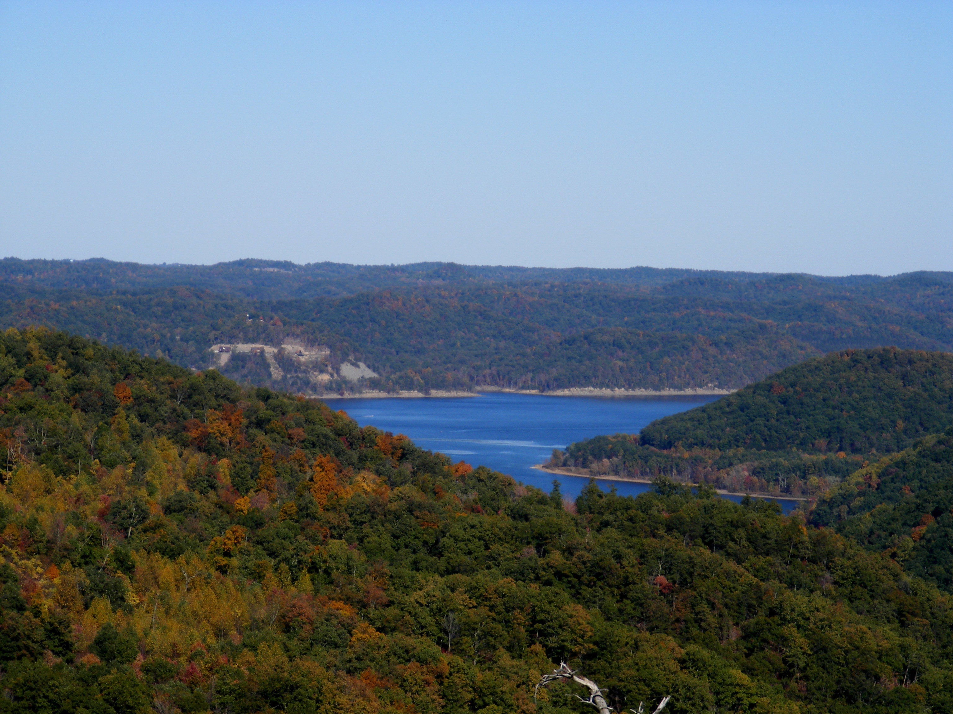
Cave Run Lake - Tater Knob Fire Tower
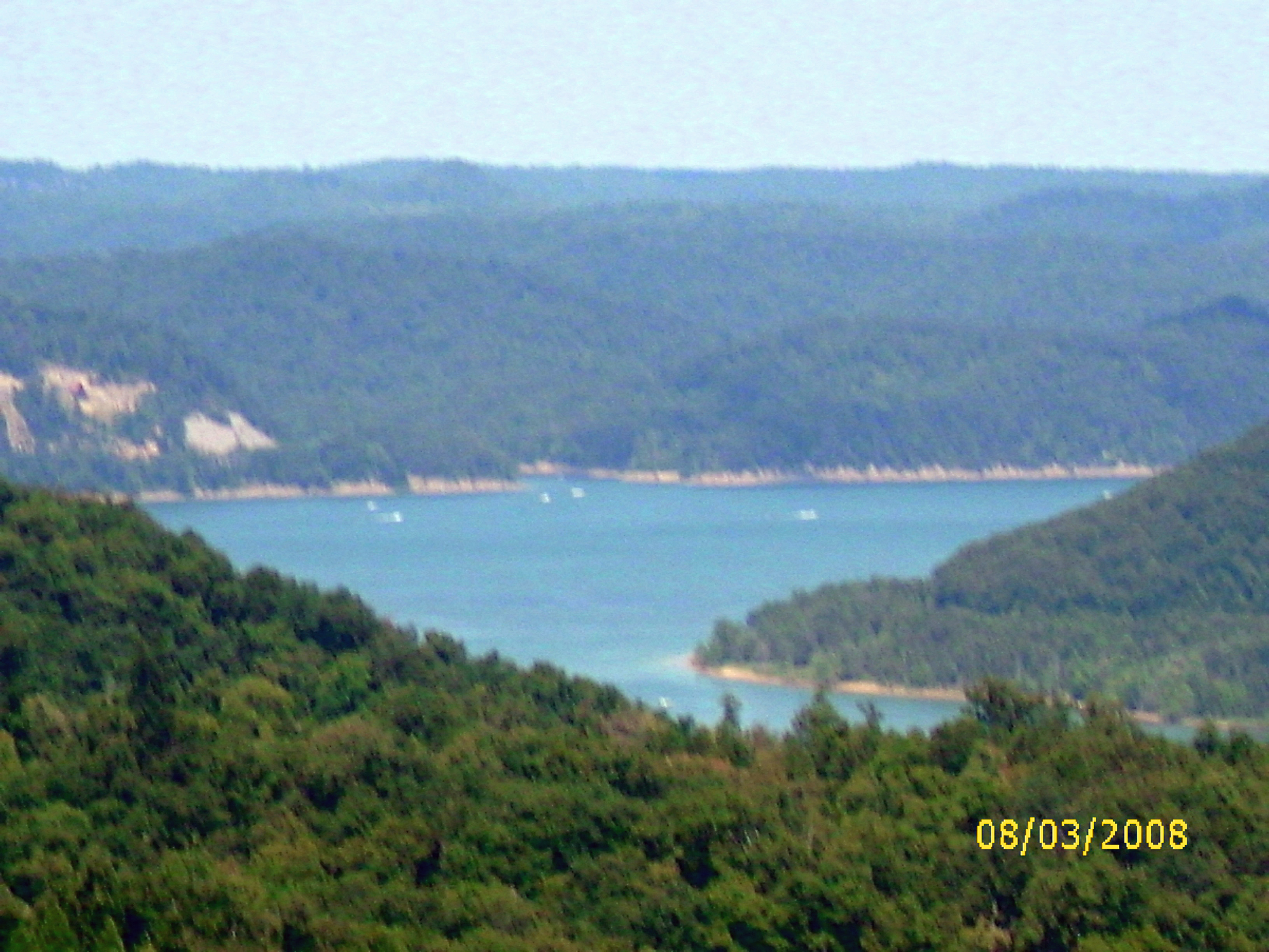
view of the lake from the tower
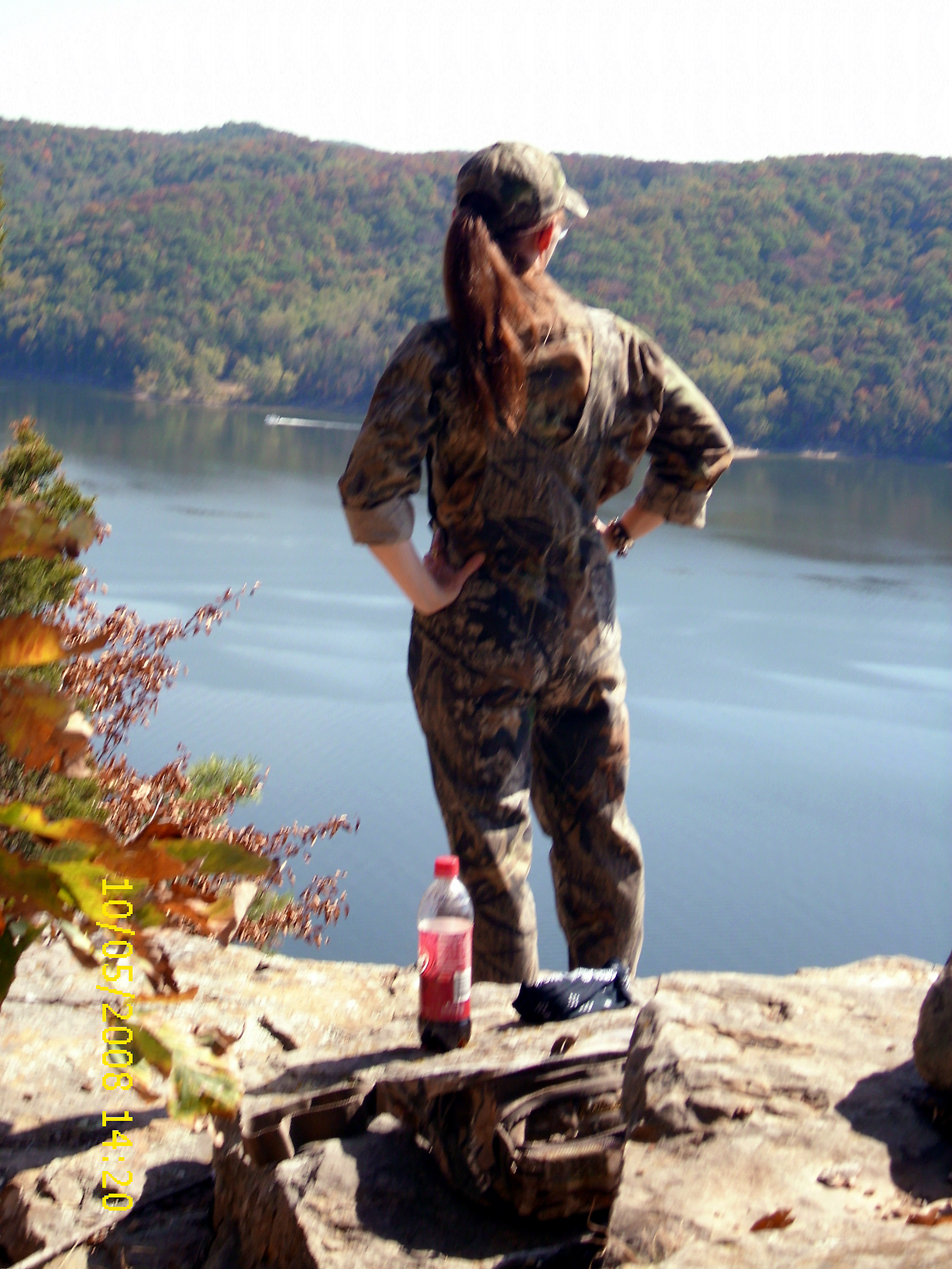
View from Look Out Rock
20110715-RD-LSC-0001
looking right

Trudged thru 24 miles ~12 was deep mud. Swim time!
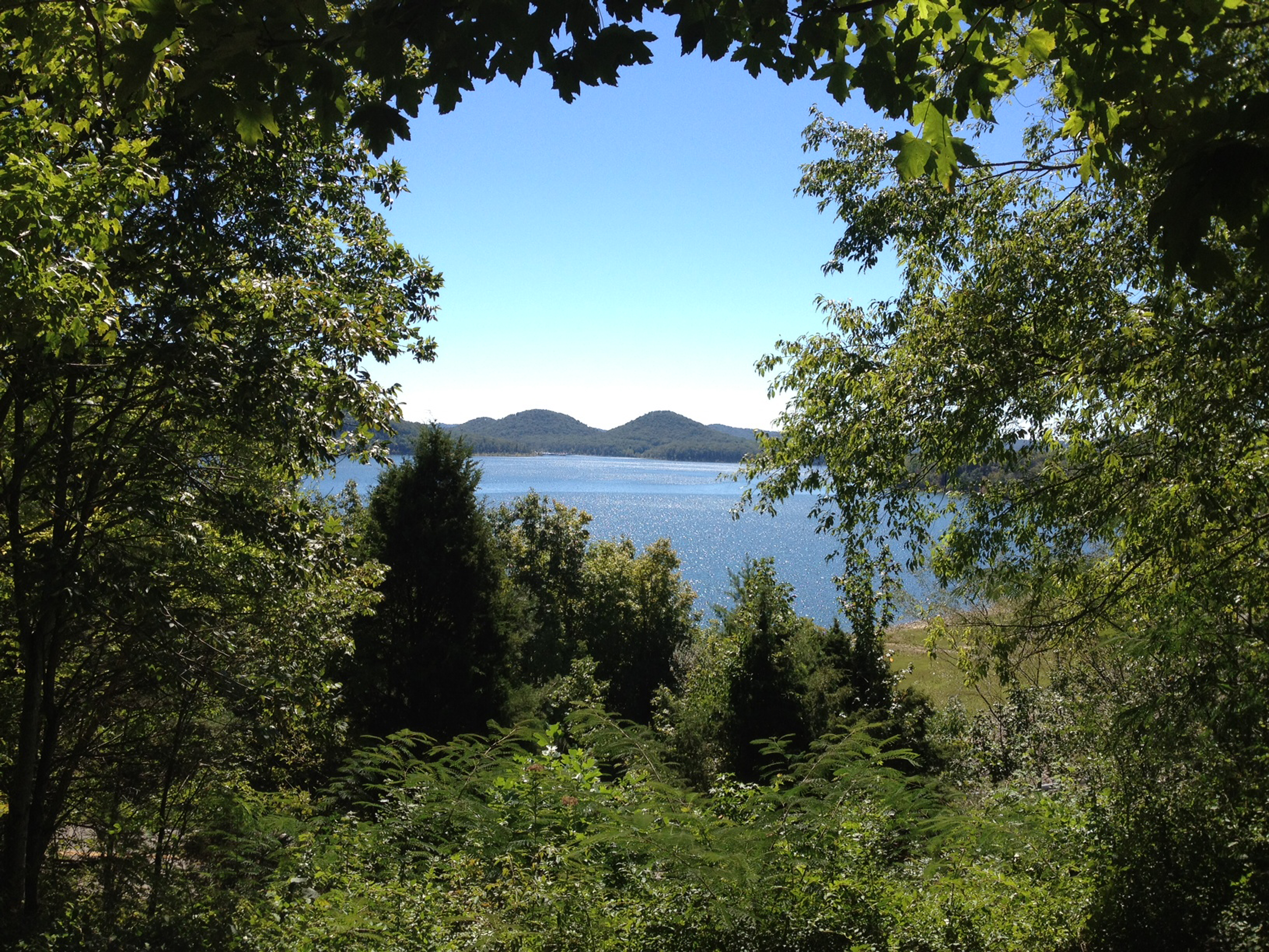
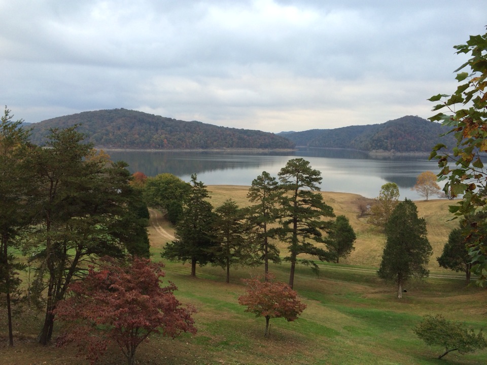
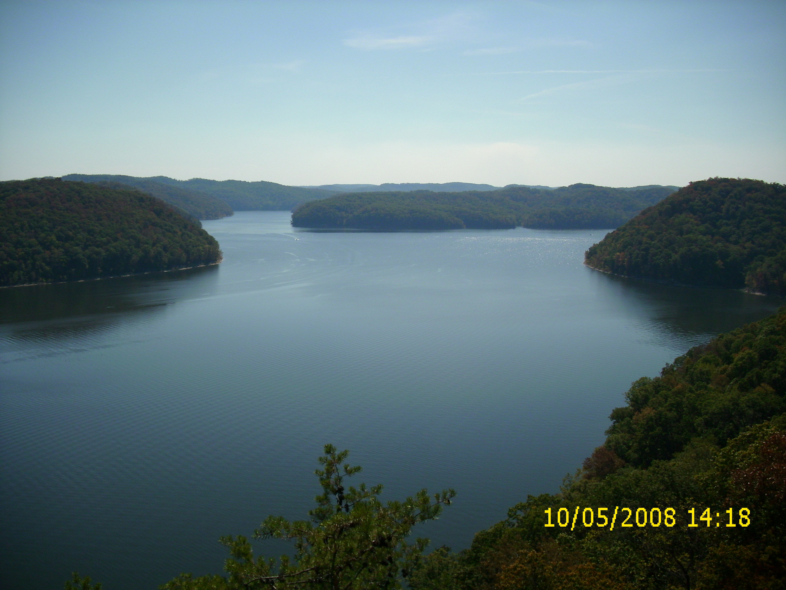
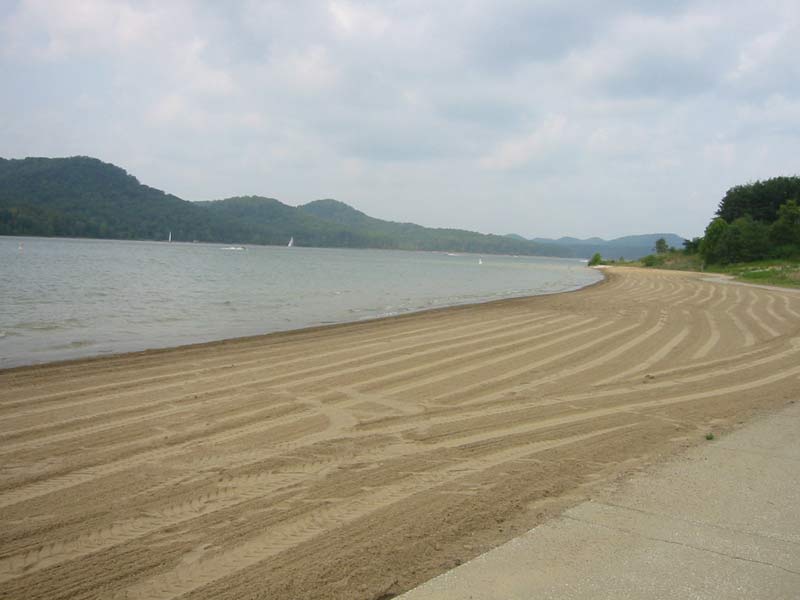
Cave Run Lake
110-1097_IMG
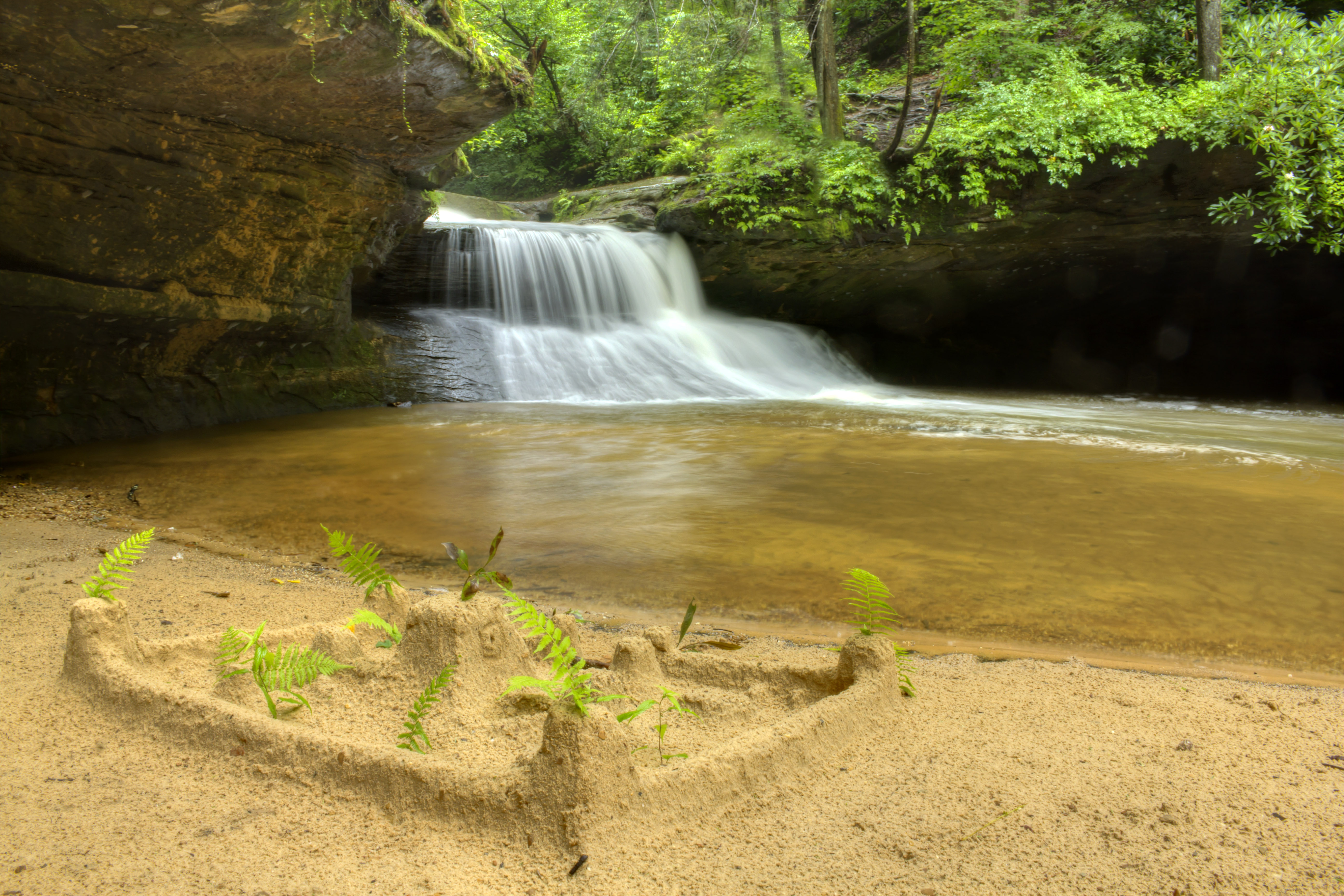
Creation Falls 3, Daniel Boone National Forest, Wolfe Co, KY
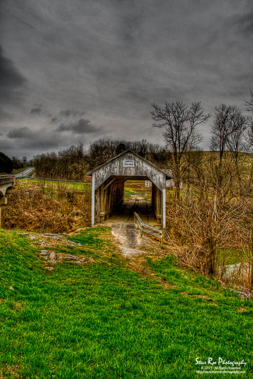
Grange City Bridge 1

Mt. Lockegee Panorama

Mt. Lockegee, Clearfield, KY
Kodak 7240

Bridge 820-08
Topographic Map of Salt Lick, KY, USA
Find elevation by address:

Places in Salt Lick, KY, USA:
Carrington Dr, Salt Lick, KY, USA
Moores Ferry Rd, Salt Lick, KY, USA
US-60, Salt Lick, KY, USA
Dogwood Lane
Cave Run Lake Road
Places near Salt Lick, KY, USA:
86 Caney Ave
Moores Ferry Rd, Salt Lick, KY, USA
US-60, Salt Lick, KY, USA
Interstate 64
Cave Run Lake Road
55 Old State Hwy N, Morehead, KY, USA
Carrington Dr, Salt Lick, KY, USA
Tater Knob
2175 Johnson School Rd
Bath County
Johnson School Road
Freestone Rd, Morehead, KY, USA
Twin Knobs Campground
Lakeview Heights
1366 Lower Rock Lick Rd
Wyoming Rd, Owingsville, KY, USA
KY-, Hillsboro, KY, USA
76 Limousine Ln
Dogwood Lane
Zilpo Recreation Area
Recent Searches:
- Elevation of 30 Oak Lawn Dr, Barkhamsted, CT, USA
- Elevation of Luther Road, Luther Rd, Auburn, CA, USA
- Elevation of Unnamed Road, Respublika Severnaya Osetiya — Alaniya, Russia
- Elevation of Verkhny Fiagdon, North Ossetia–Alania Republic, Russia
- Elevation of F. Viola Hiway, San Rafael, Bulacan, Philippines
- Elevation of Herbage Dr, Gulfport, MS, USA
- Elevation of Lilac Cir, Haldimand, ON N3W 2G9, Canada
- Elevation of Harrod Branch Road, Harrod Branch Rd, Kentucky, USA
- Elevation of Wyndham Grand Barbados Sam Lords Castle All Inclusive Resort, End of Belair Road, Long Bay, Bridgetown Barbados
- Elevation of Iga Trl, Maggie Valley, NC, USA