Elevation of 40 Shively Rd, Ferrum, VA, USA
Location: United States > Virginia > Franklin County > Blue Ridge > Ferrum >
Longitude: -79.999786
Latitude: 36.9278153
Elevation: 429m / 1407feet
Barometric Pressure: 96KPa
Elevation Map:
Satellite Map:
Related Photos:
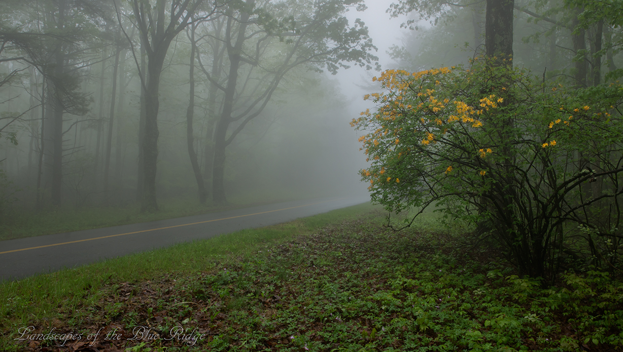
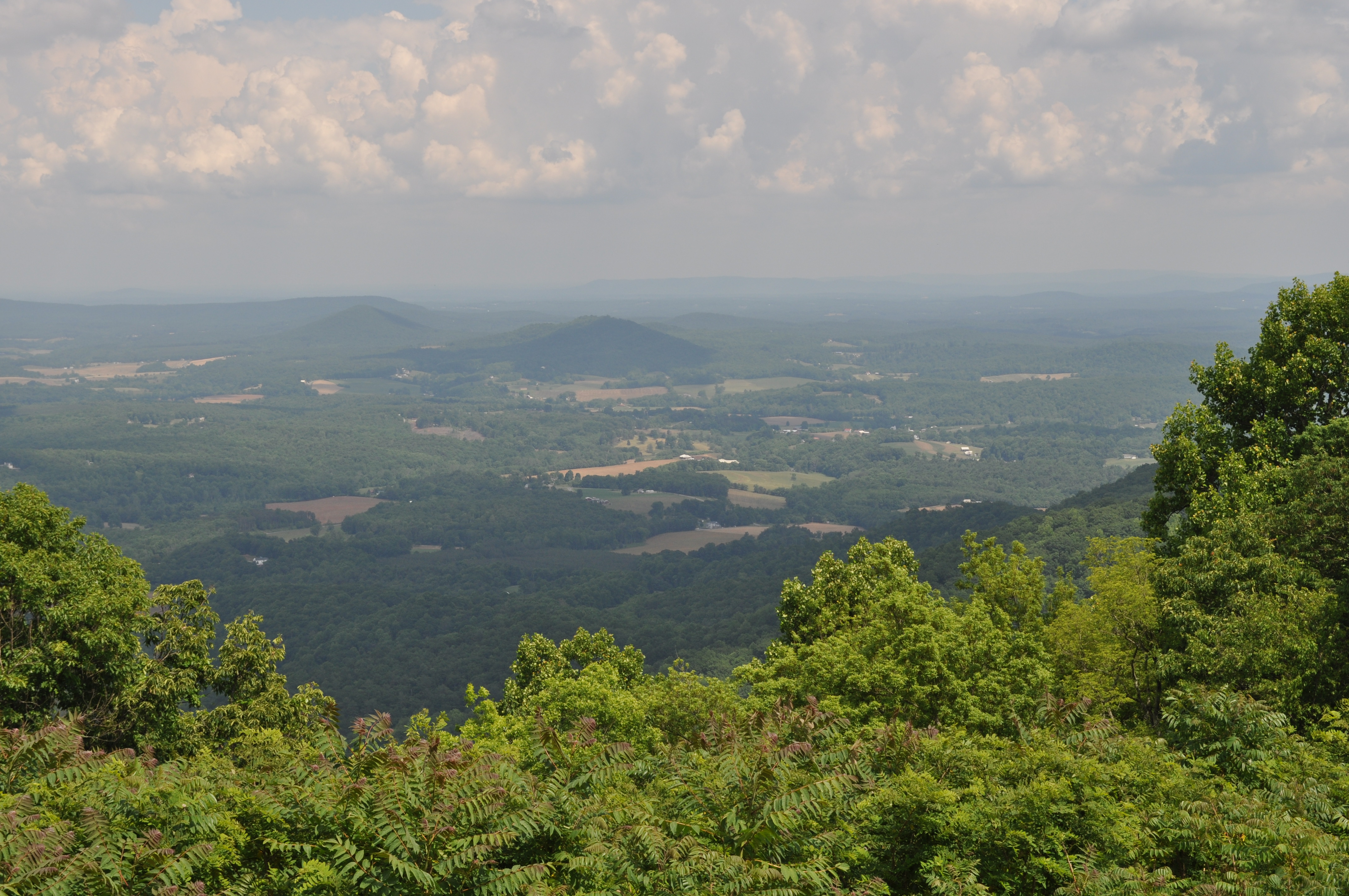
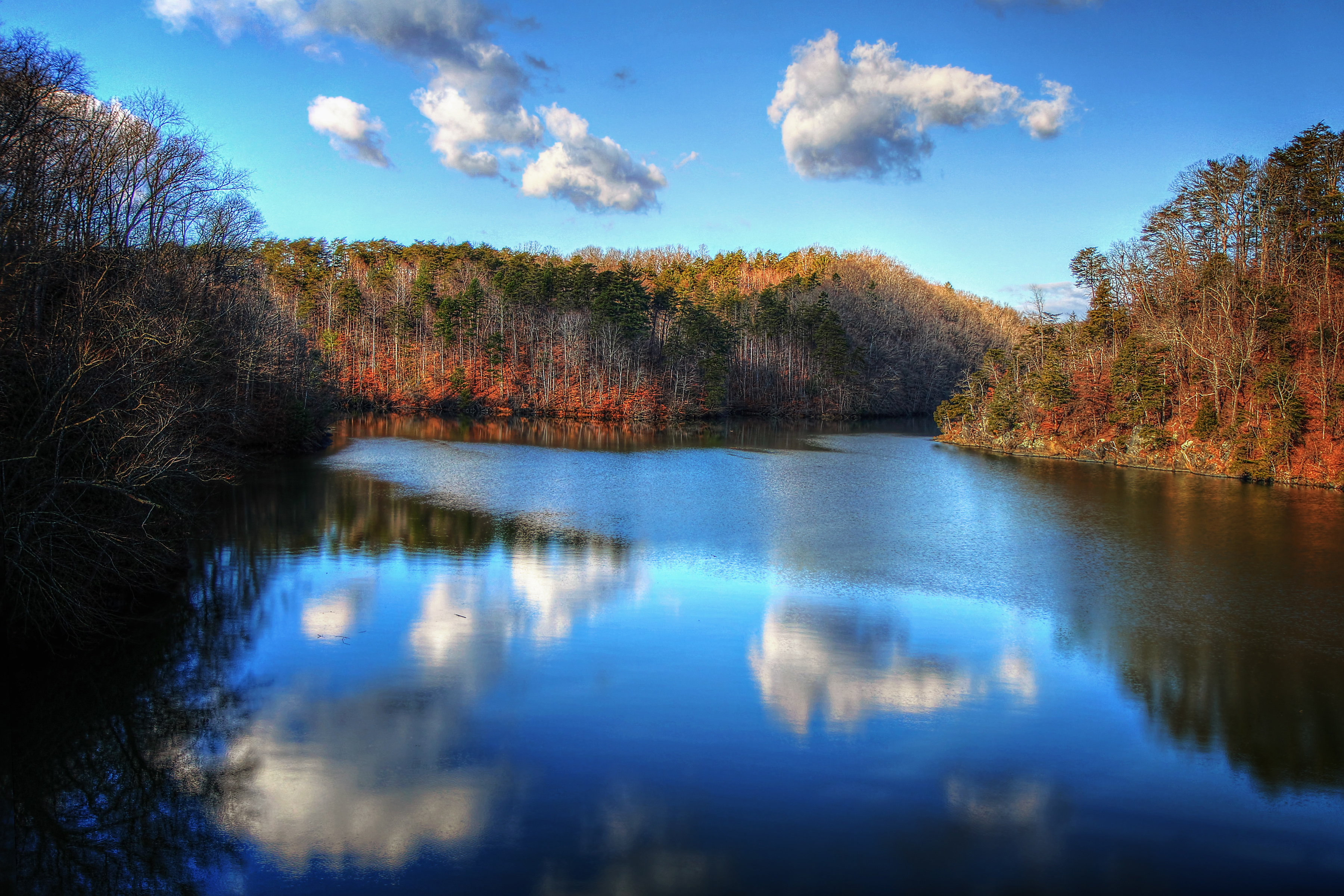
Flame in the Fog
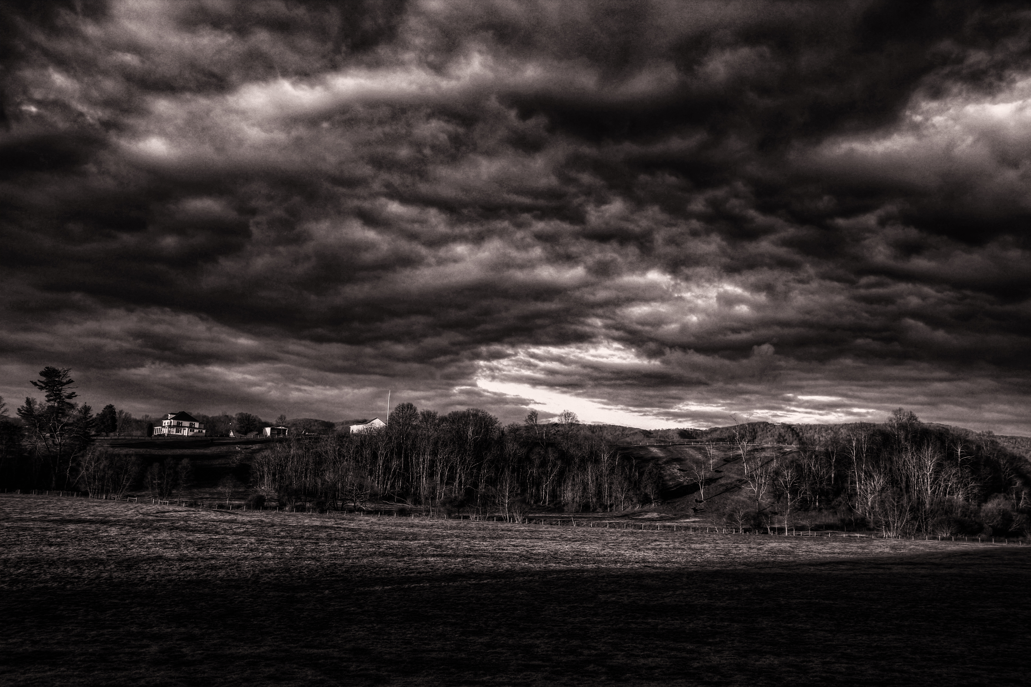
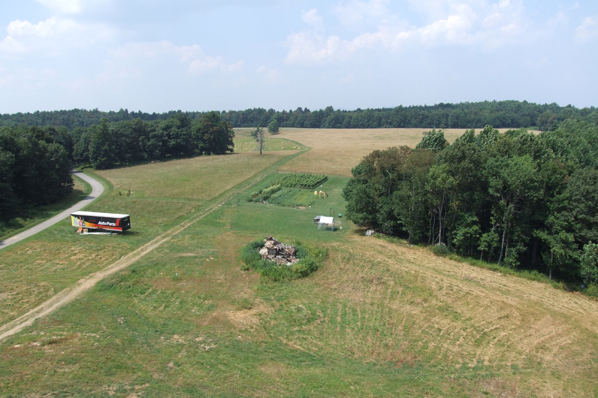
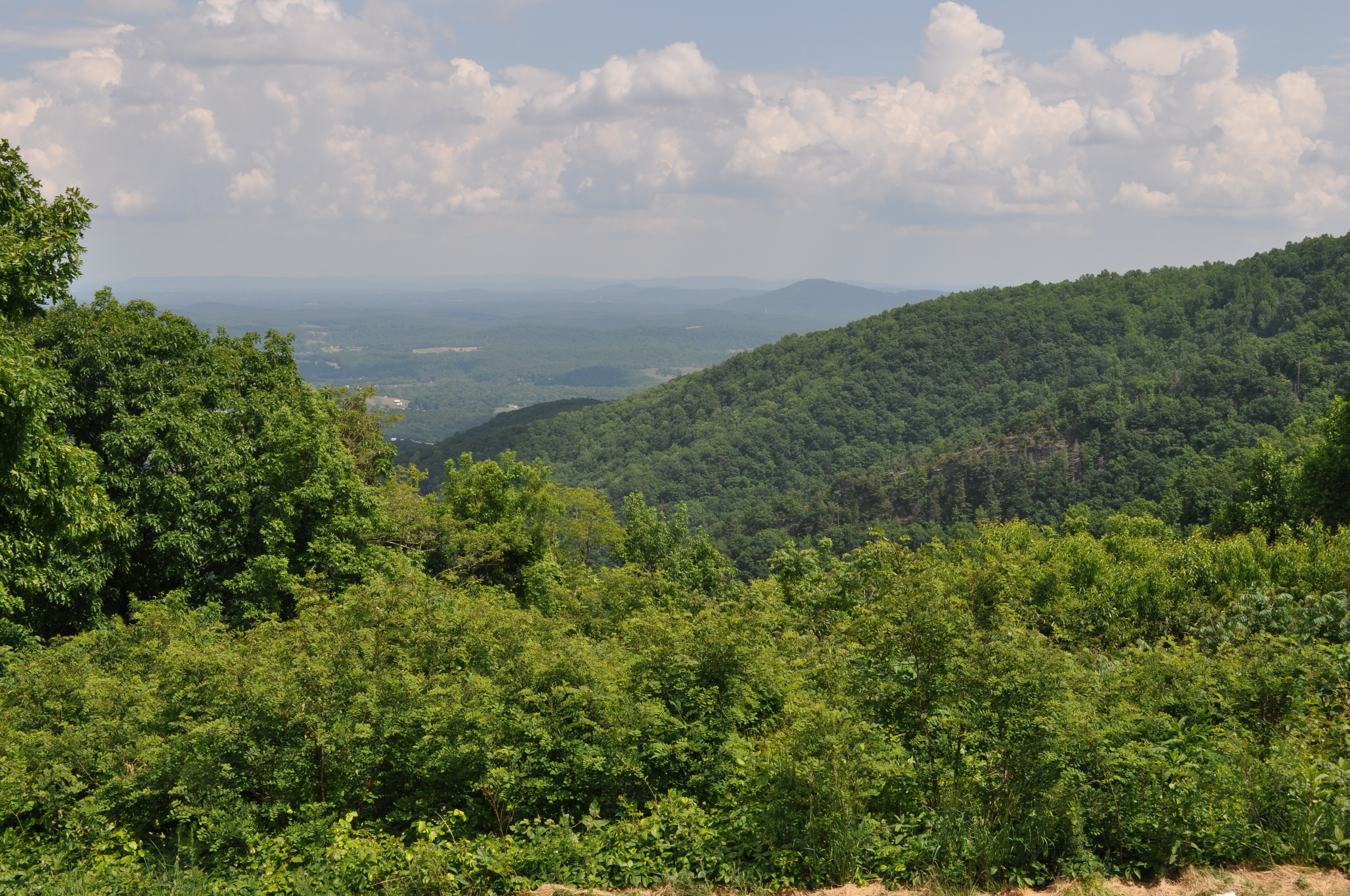
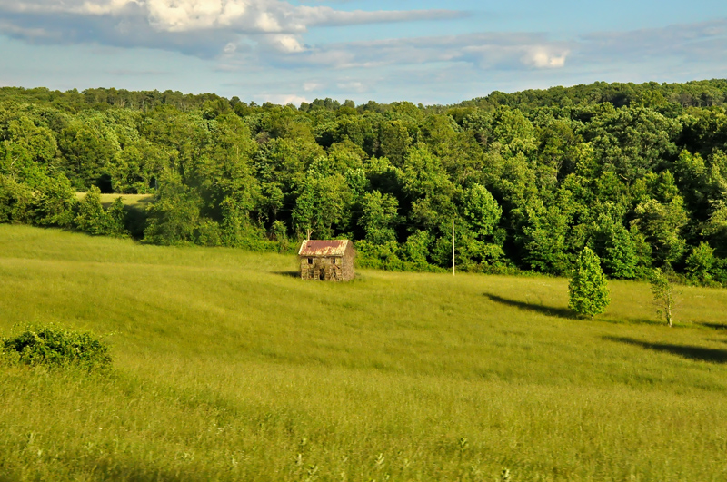
Franklin County Pasture

2014.03.18 155K Views
Close-up View of Veterans Memorial Park Dam
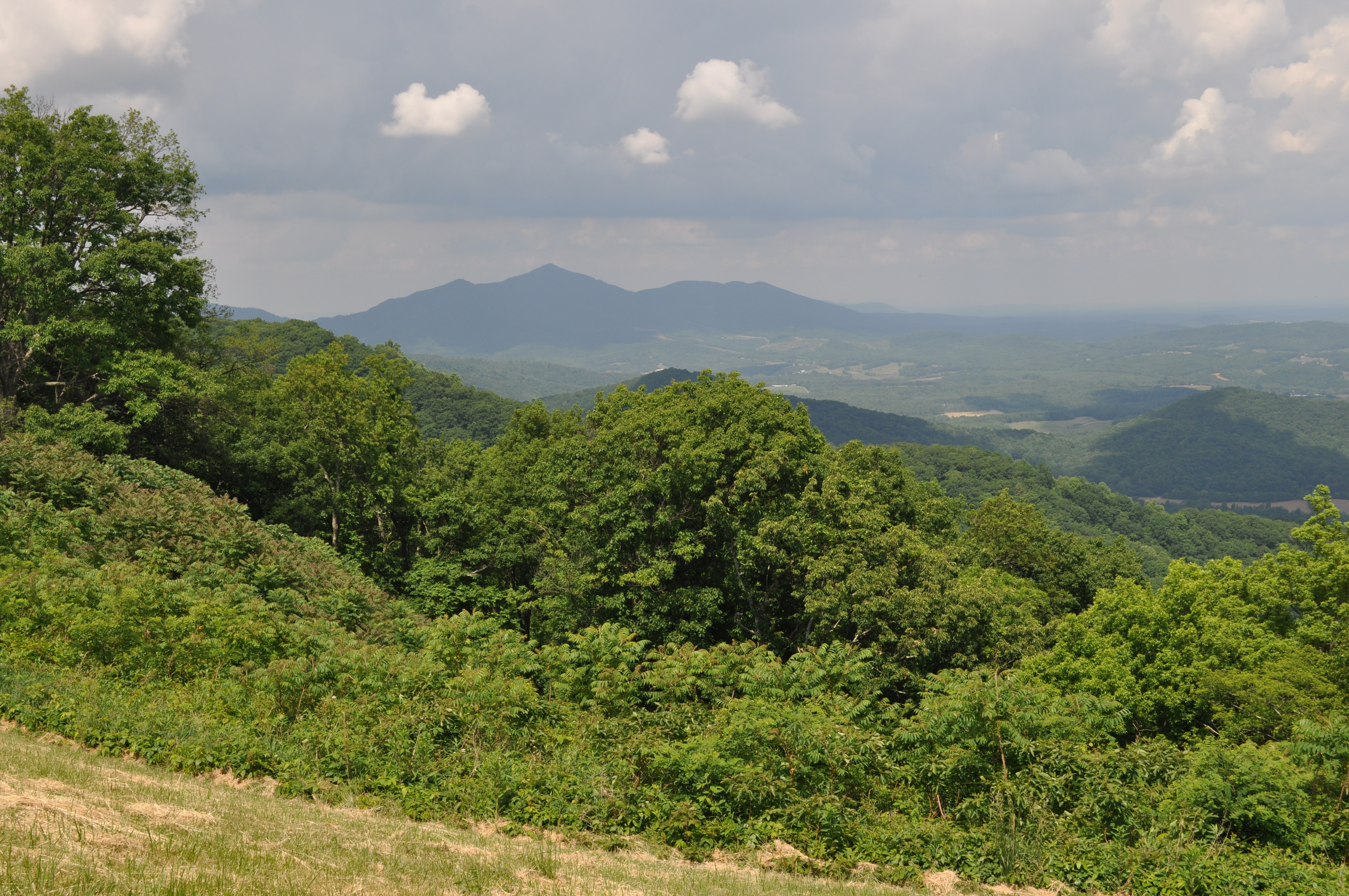
View from Pine Spur overlook
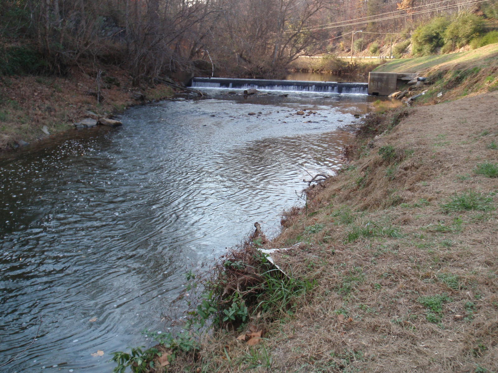
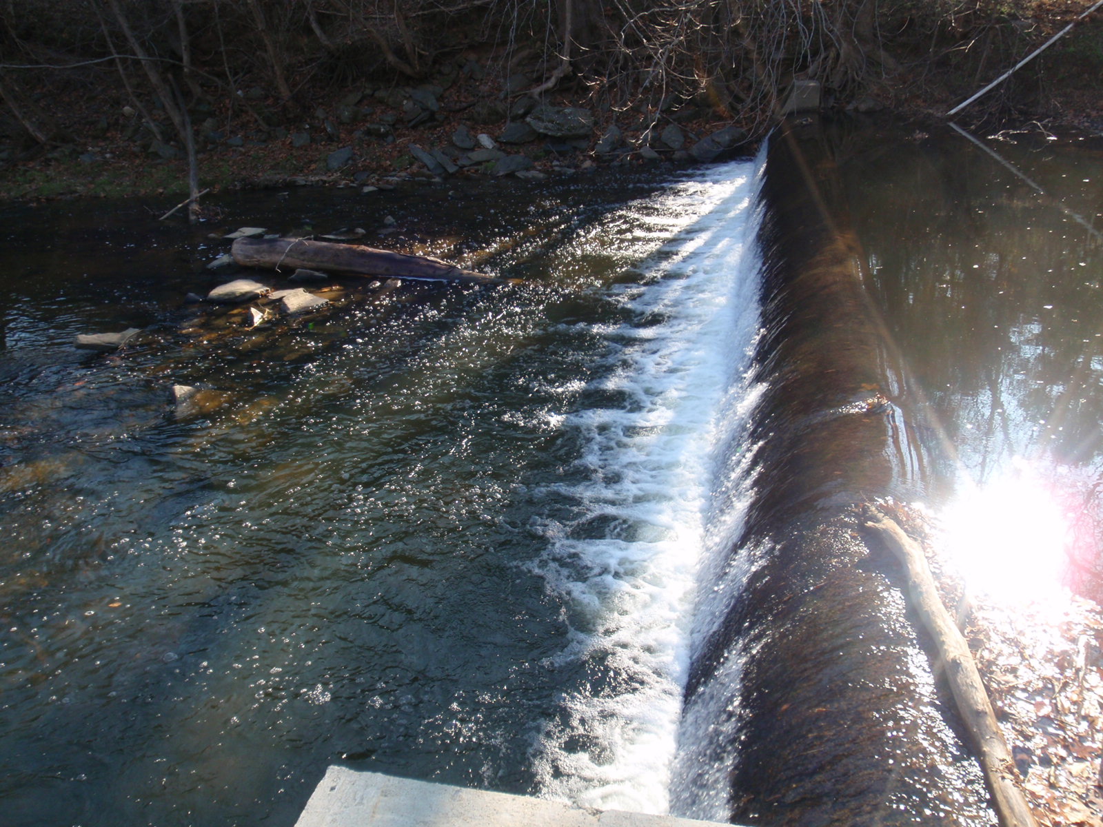
Looking Upstream at Veterans Memorial Park Dam

Veterans Memorial Park Dam
1441 Syon Abbey - View from Tower Roof
1440 Syon Abbey - View from Tower Roof
1433 Syon Abbey - View from Tower Roof
3057 View Devils Backbone Img_14218
3056 View Devils Backbone Img_14217
3061 View Devils Backbone Img_14222
3060 View Devils Backbone Img_14221
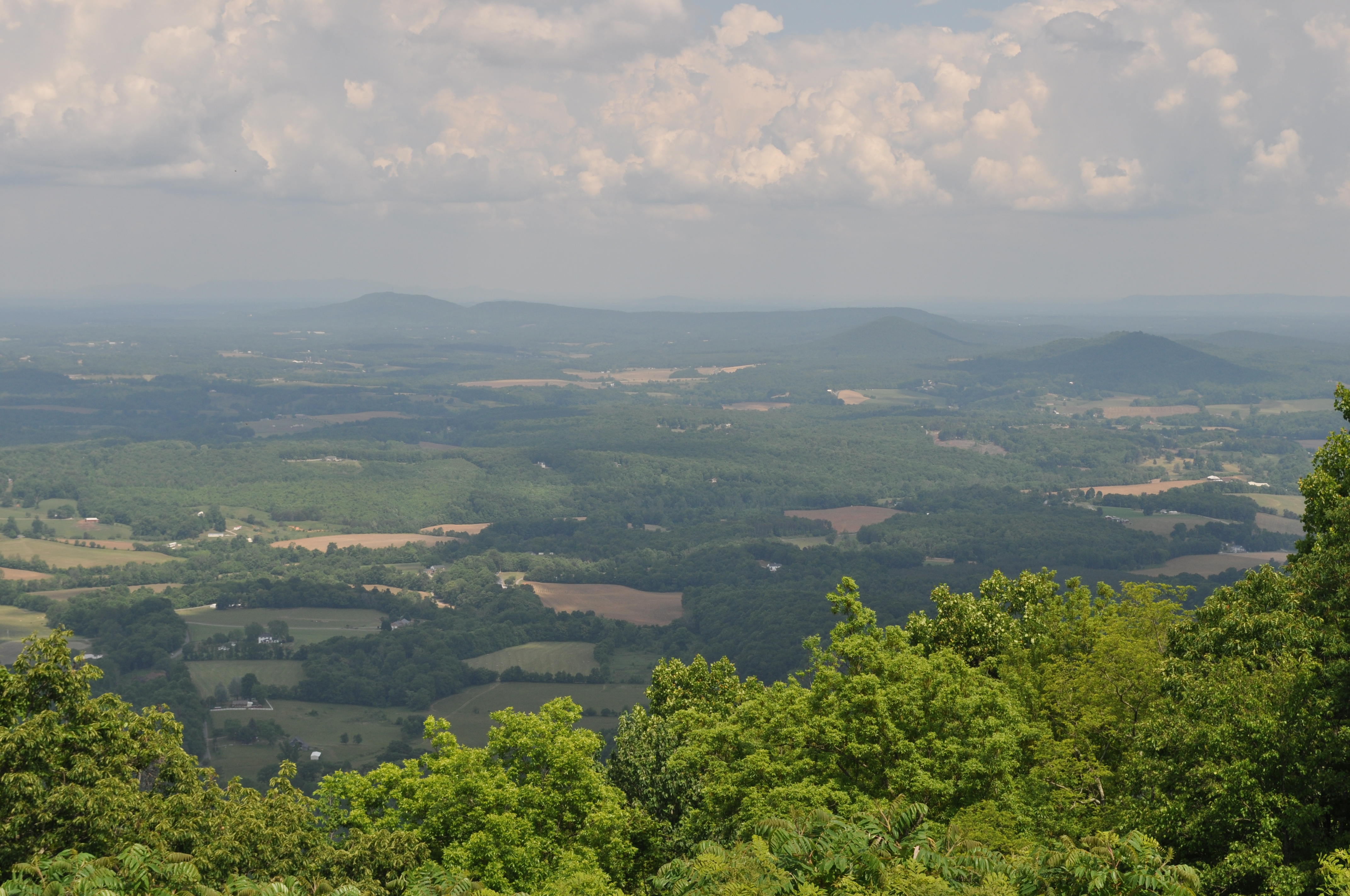
3059 View Devils Backbone Img_14220
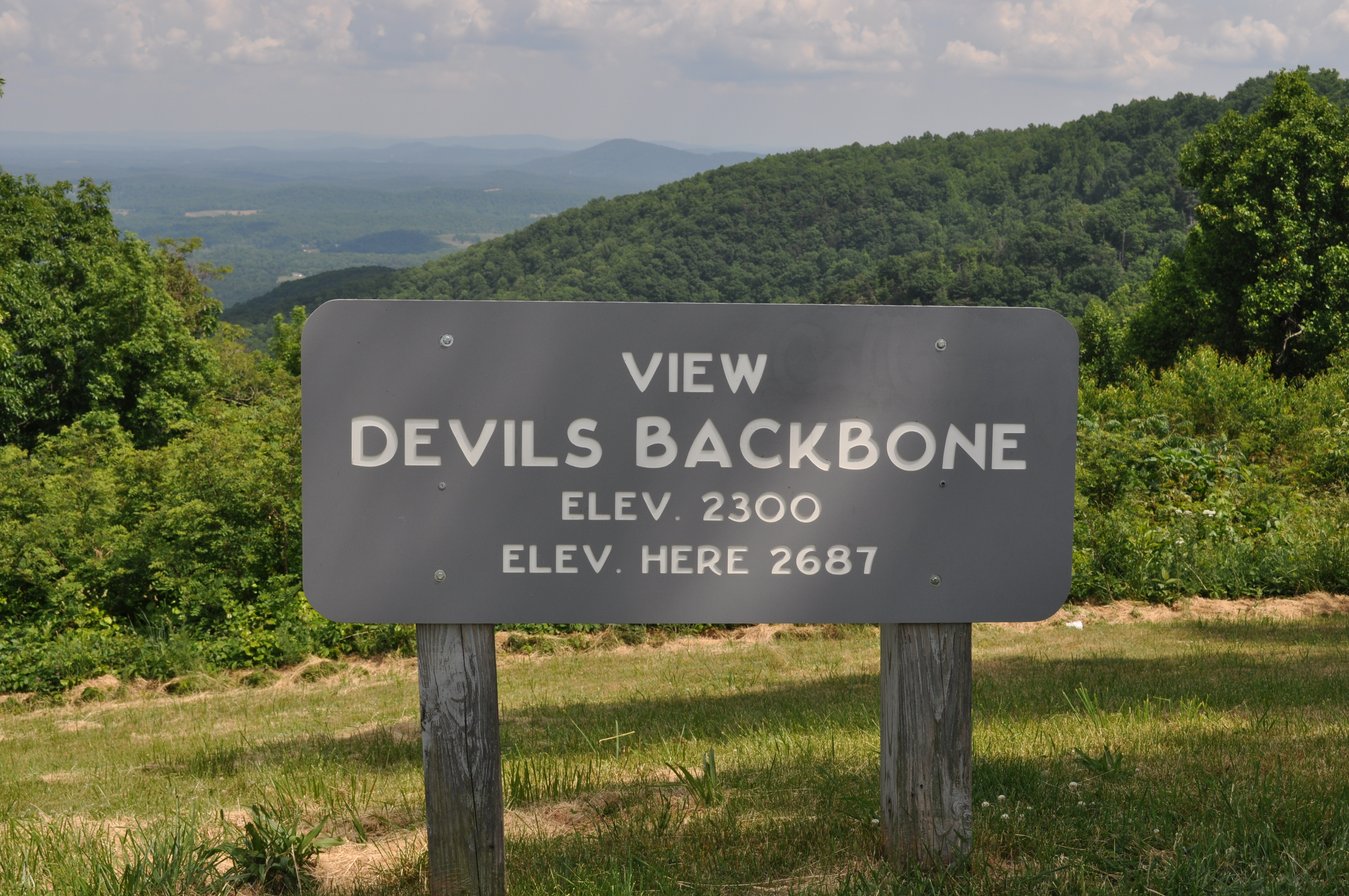
3055 View Devils Backbone Img_14216
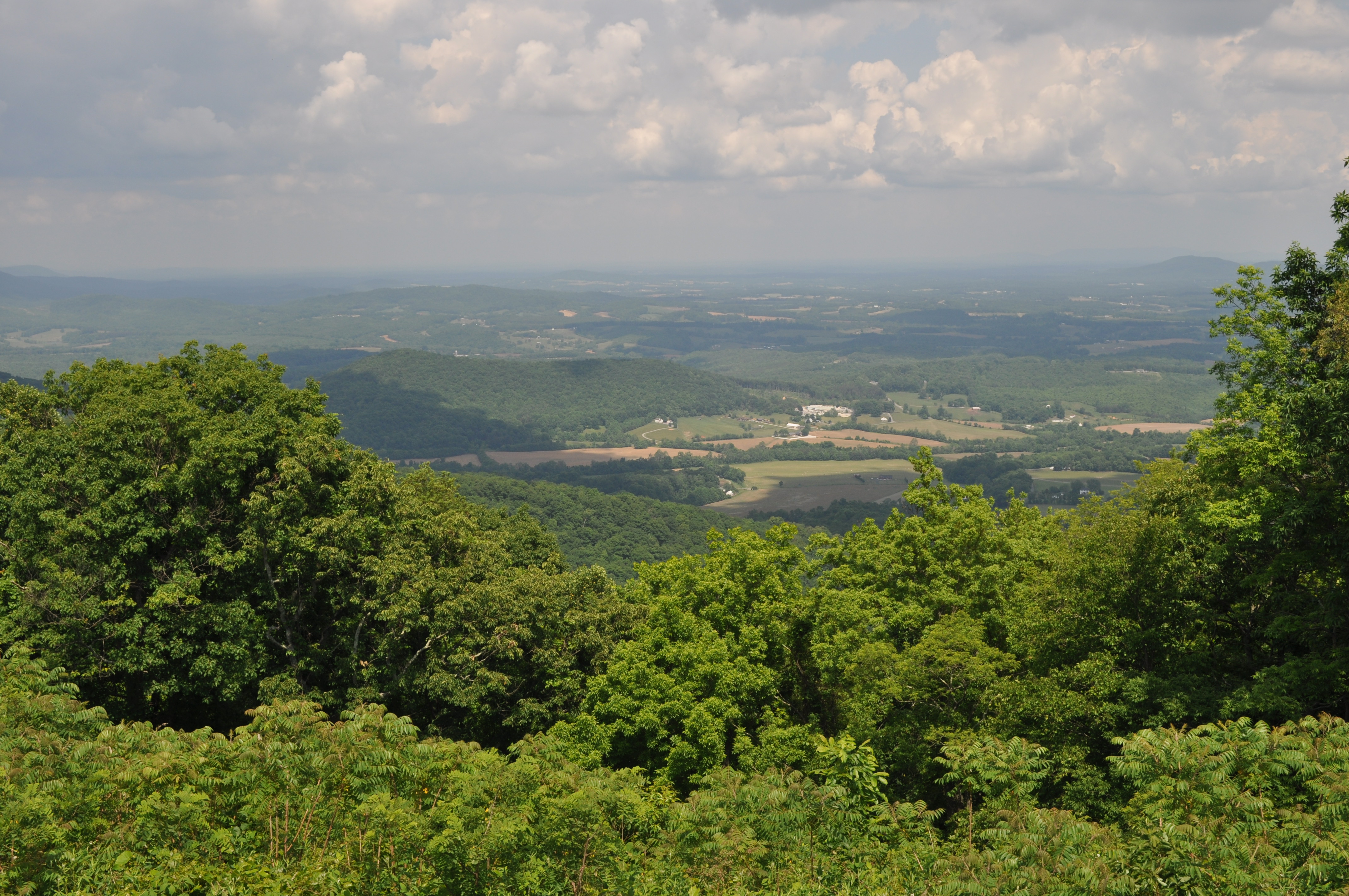
3058 View Devils Backbone Img_14219
The Back Door
Philpott Lake December 31
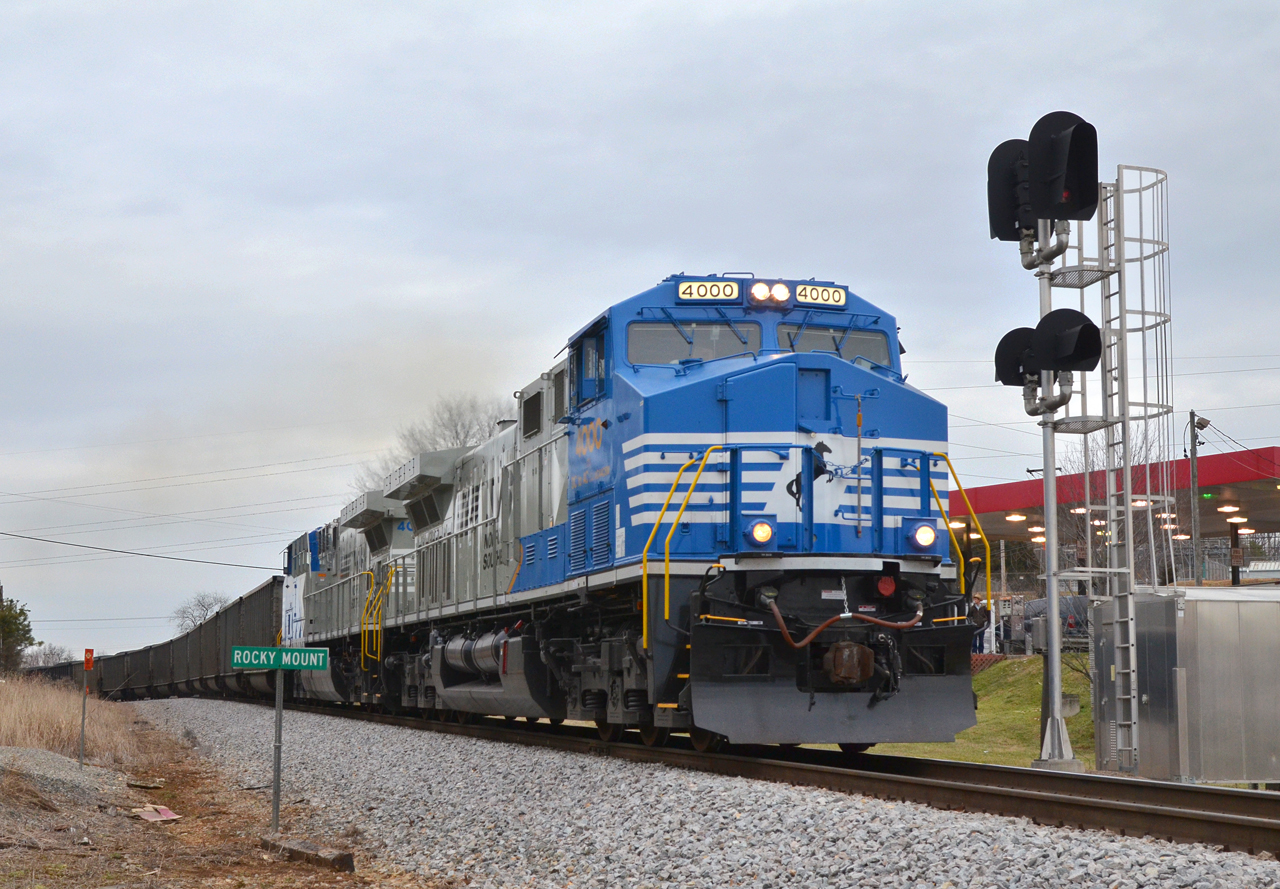
2016 02-12 1612 NS AC44C6M-4000, 4001 S/B 746 at Rocky Mount, VA
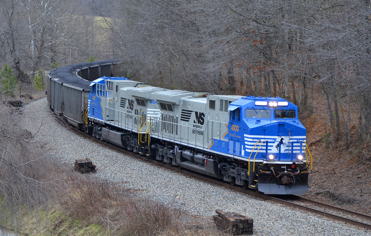
2016 02-12 1637 NS AC44C6M-4000, 4001 S/B 746 at Ferrum, VA

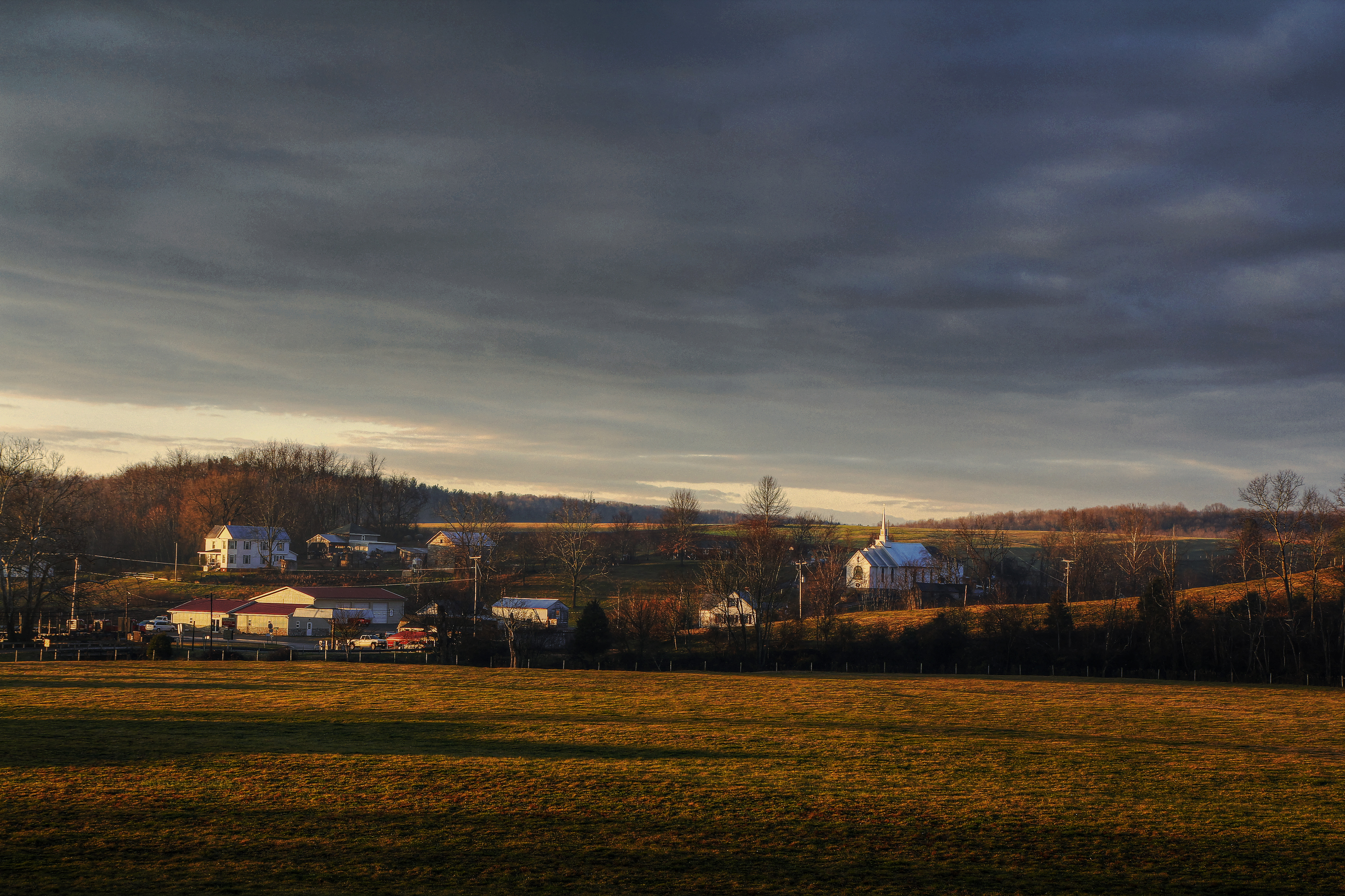
Farm House in December
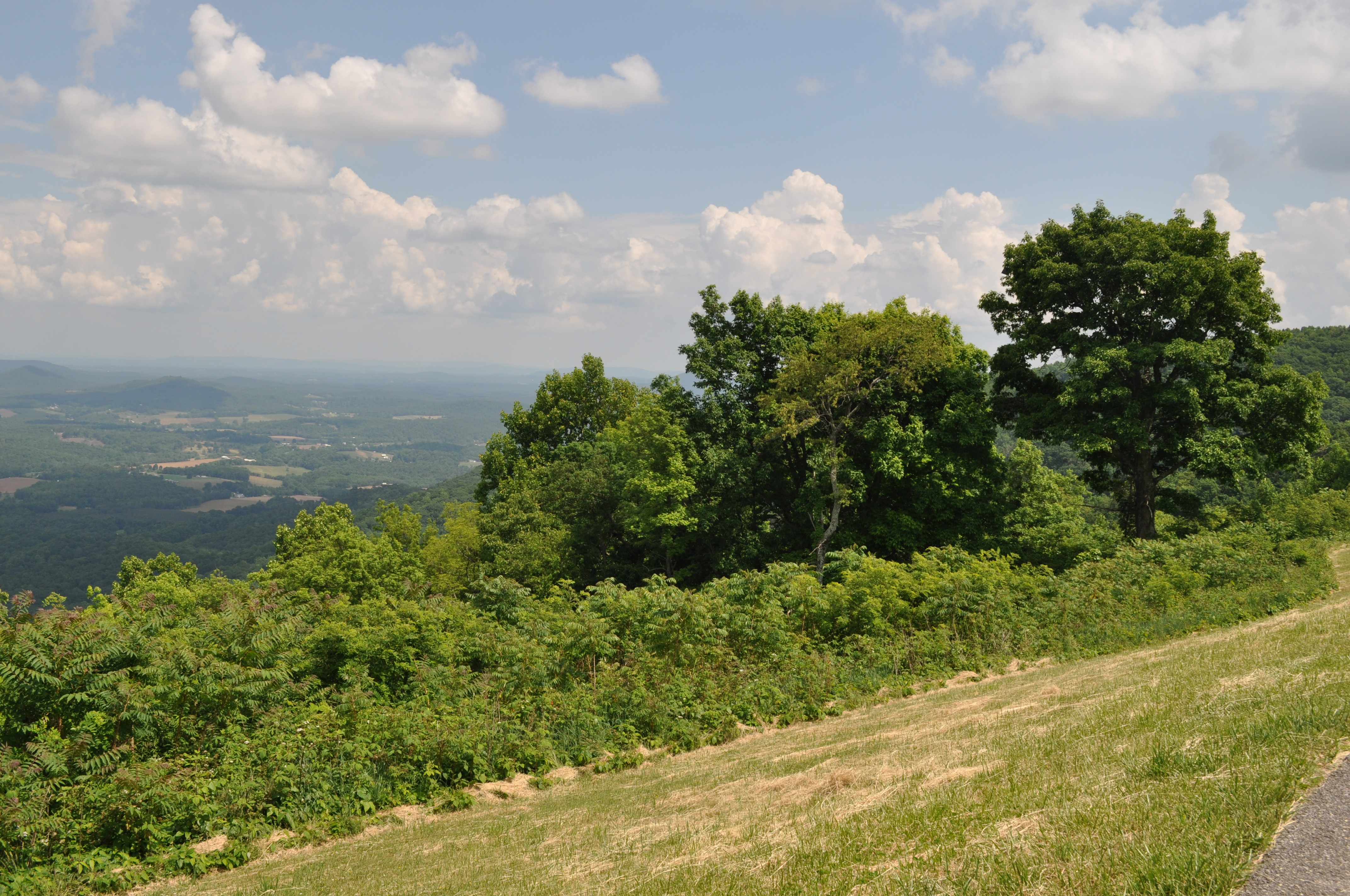
Blue Ridge Parkway
Beautiful day on the lake
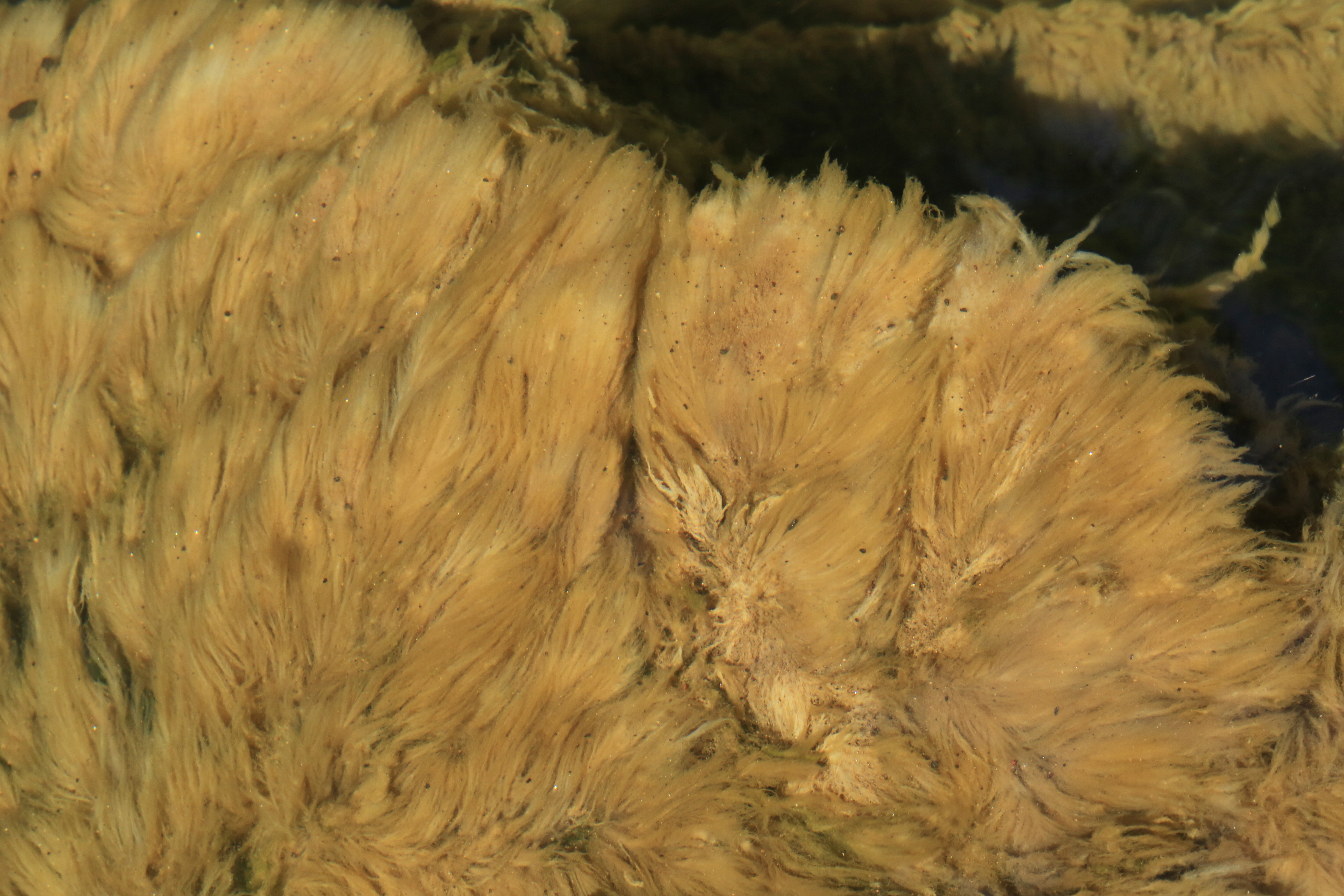
Didymosphenia geminata, Smith River, below Philpott Dam, Franklin and Henry Counties, Virginia 1
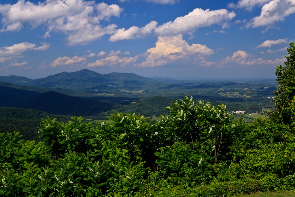
Blue Ridge Parkway
Callaway Village

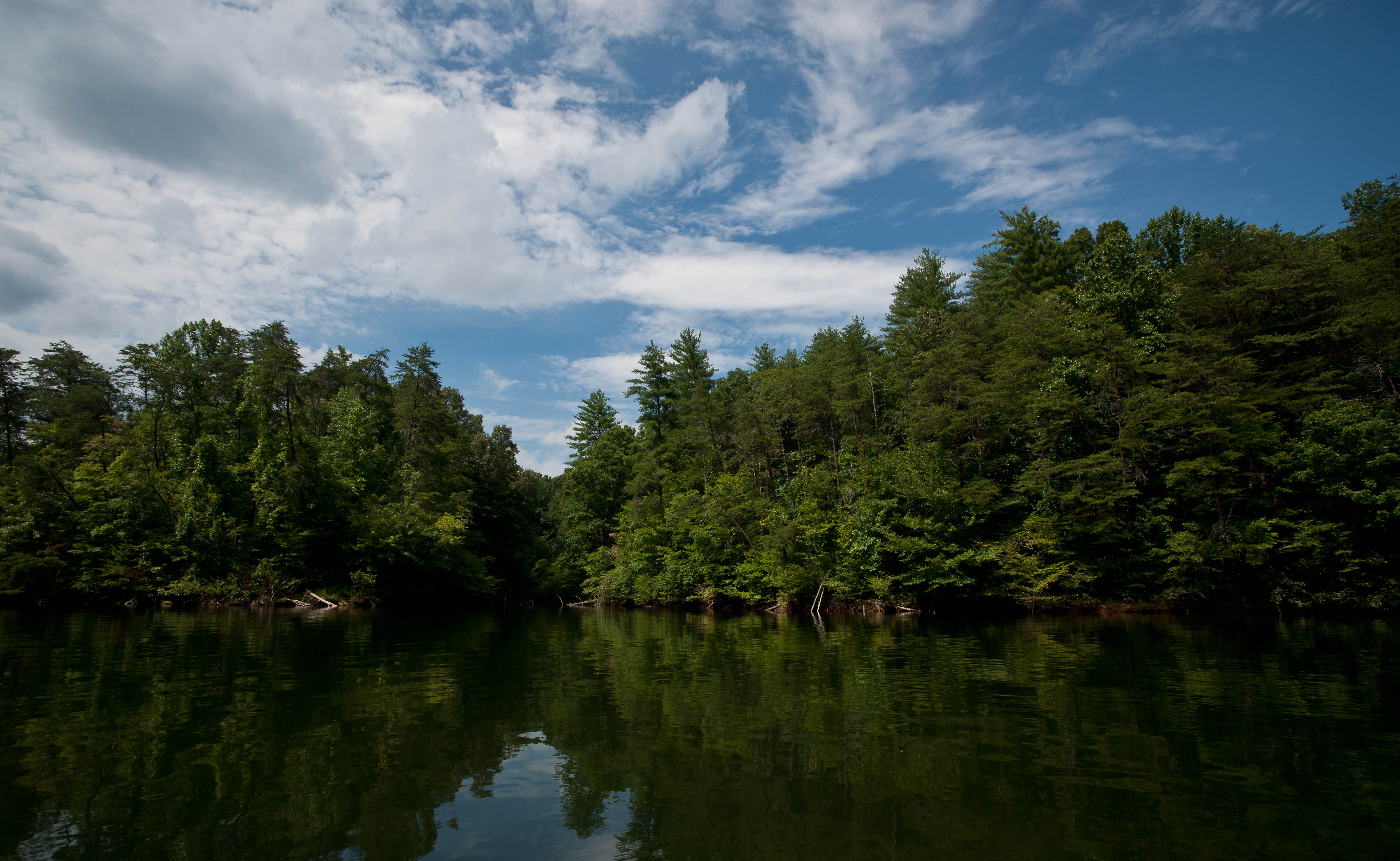
Smith River

Philpott Lake
BLUE RIDGE PARKWAY
Confluence in the woods.
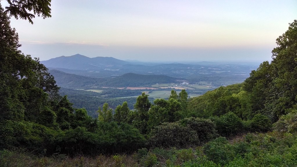
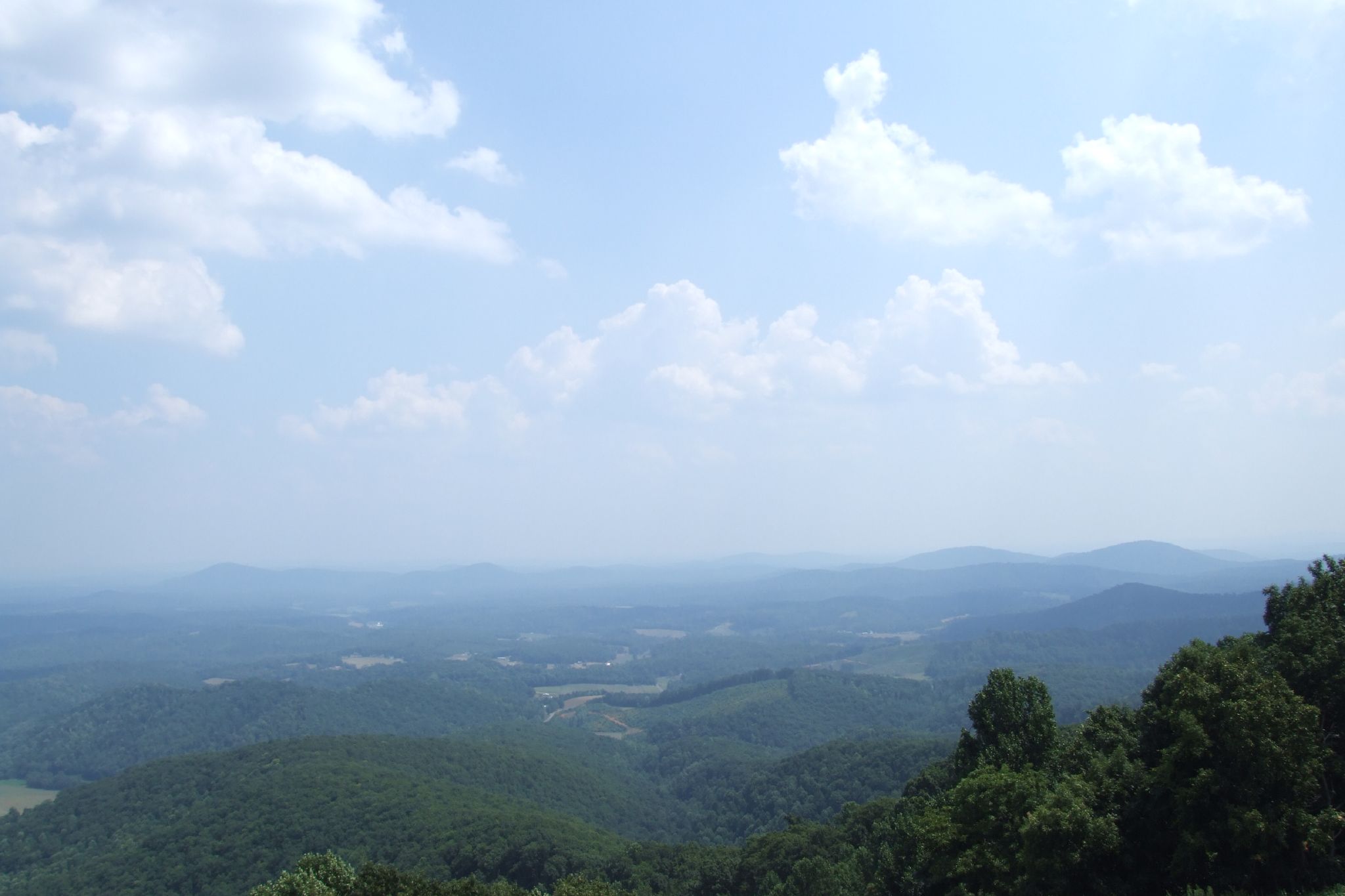
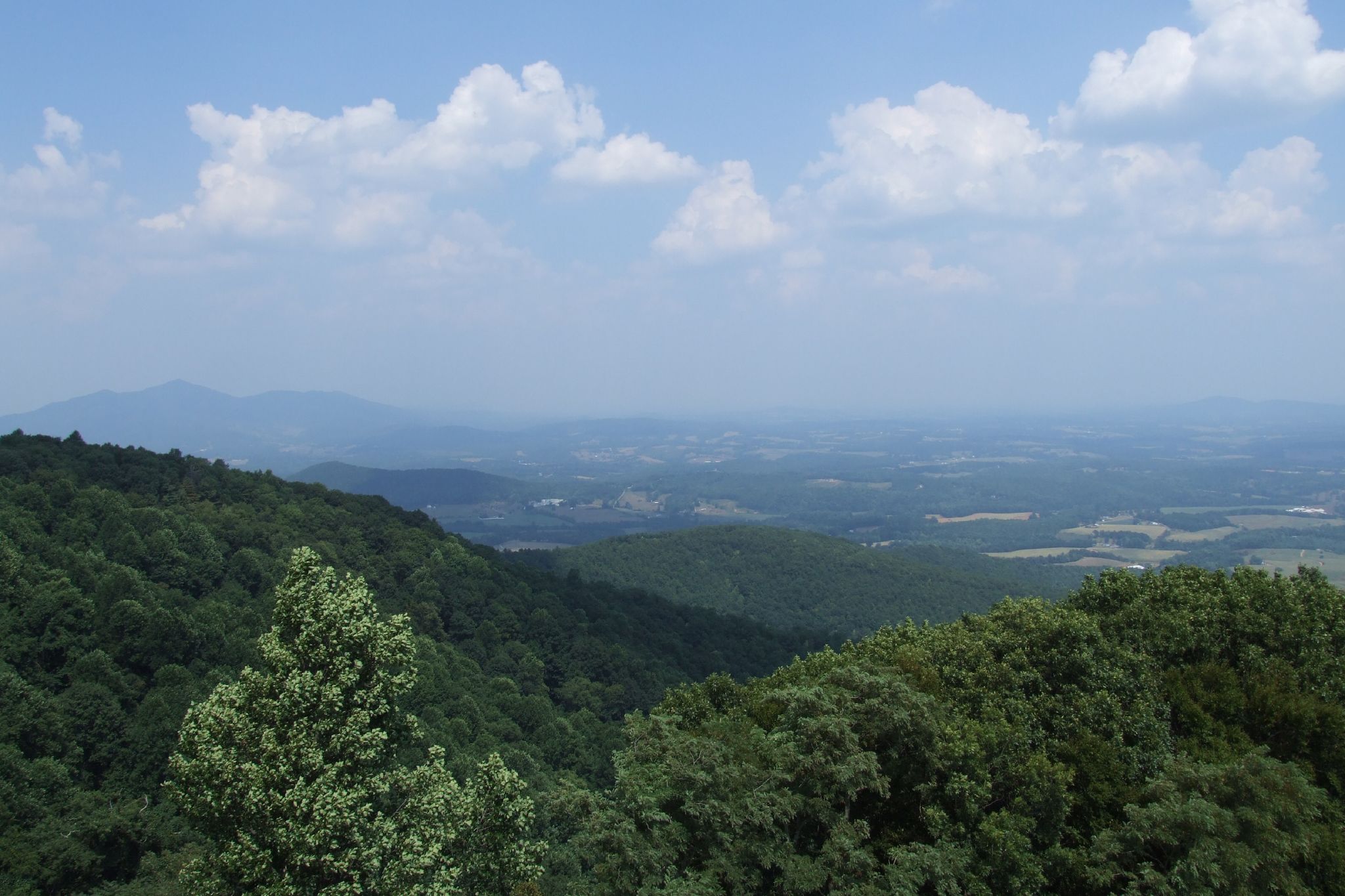
Pine Spur Overlook
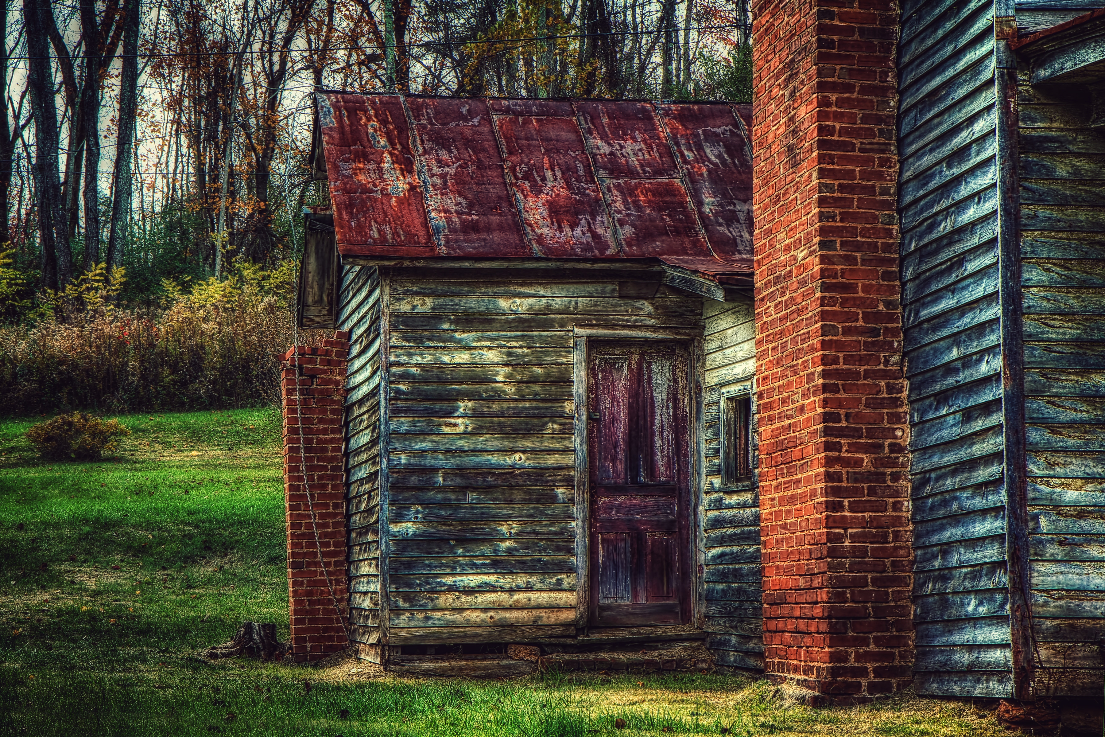
Derelict Barn

WASHINGTON IRON WORKS
Topographic Map of 40 Shively Rd, Ferrum, VA, USA
Find elevation by address:

Places near 40 Shively Rd, Ferrum, VA, USA:
Virginia 40
55 Woodcott Rd
Ferrum
84 Butterfly Ln
884 Isolane Rd
225 Ferrum Mountain Rd
Blue Ridge
1139 Calico Rock Rd
900 Bridgewater Ln
Callaway
Hickman Rd, Rocky Mt, VA, USA
Blackwater
778 Holland Rd
1764 Buffalo Ridge Rd
Callaway Rd, Rocky Mt, VA, USA
2326 Callaway Rd
385 Knollwood Dr
3457 5 Mile Mountain Rd
210 Hillcrest Dr
Rocky Mount
Recent Searches:
- Elevation of 6 Rue Jules Ferry, Beausoleil, France
- Elevation of Sattva Horizon, 4JC6+G9P, Vinayak Nagar, Kattigenahalli, Bengaluru, Karnataka, India
- Elevation of Great Brook Sports, Gold Star Hwy, Groton, CT, USA
- Elevation of 10 Mountain Laurels Dr, Nashua, NH, USA
- Elevation of 16 Gilboa Ln, Nashua, NH, USA
- Elevation of Laurel Rd, Townsend, TN, USA
- Elevation of 3 Nestling Wood Dr, Long Valley, NJ, USA
- Elevation of Ilungu, Tanzania
- Elevation of Yellow Springs Road, Yellow Springs Rd, Chester Springs, PA, USA
- Elevation of Rēzekne Municipality, Latvia