Elevation of 40-9 Kiki, Minami-chō, Kaifu-gun, Tokushima-ken -, Japan
Location: Japan > Tokushima Prefecture > Kaifu District > Minami >
Longitude: 134.573489
Latitude: 33.7646662
Elevation: 4m / 13feet
Barometric Pressure: 101KPa
Elevation Map:
Satellite Map:
Related Photos:
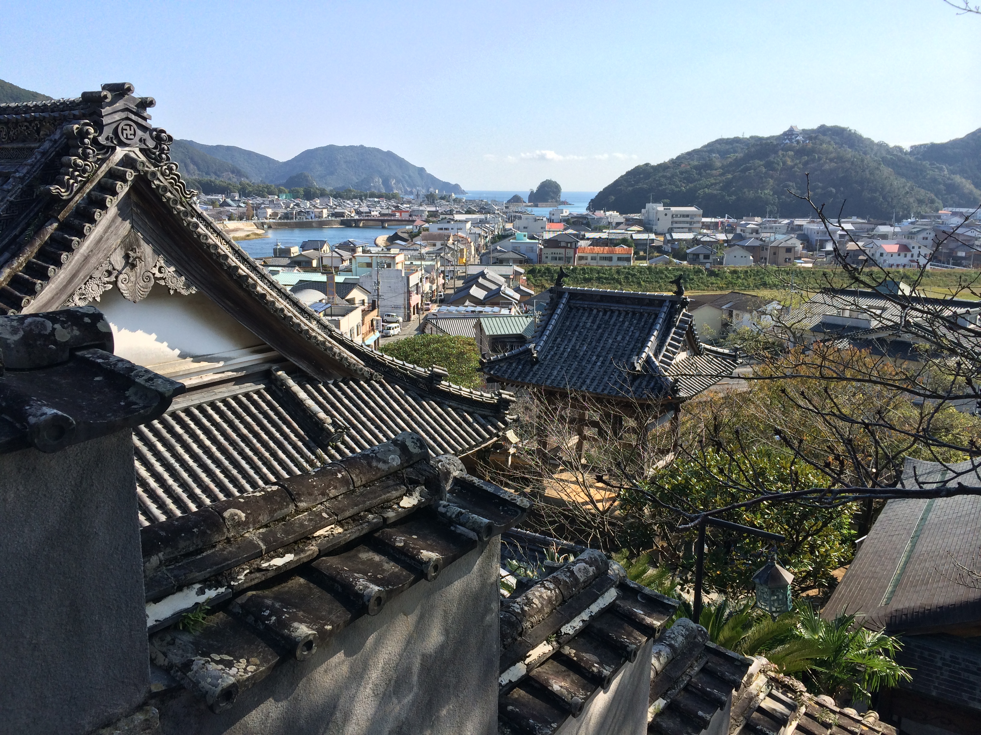
MHH Shikoku Temple Trek, November 2014
Early morning
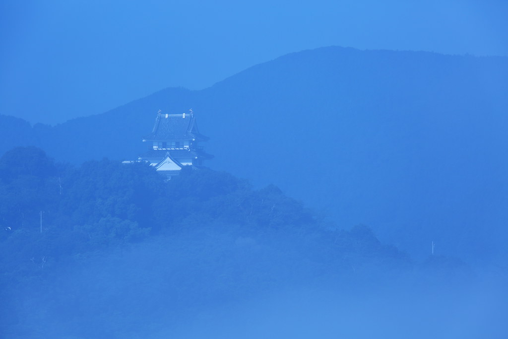
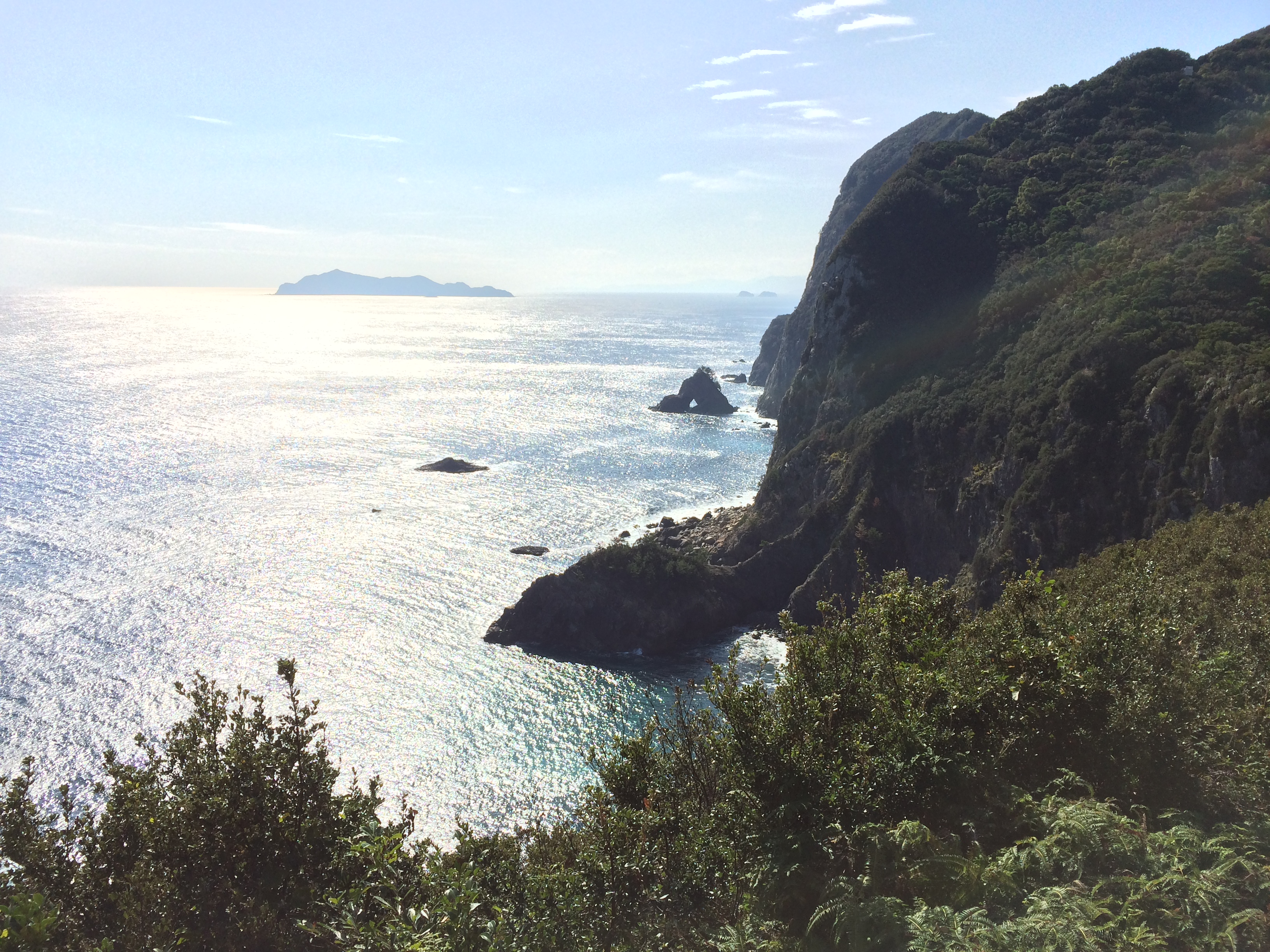
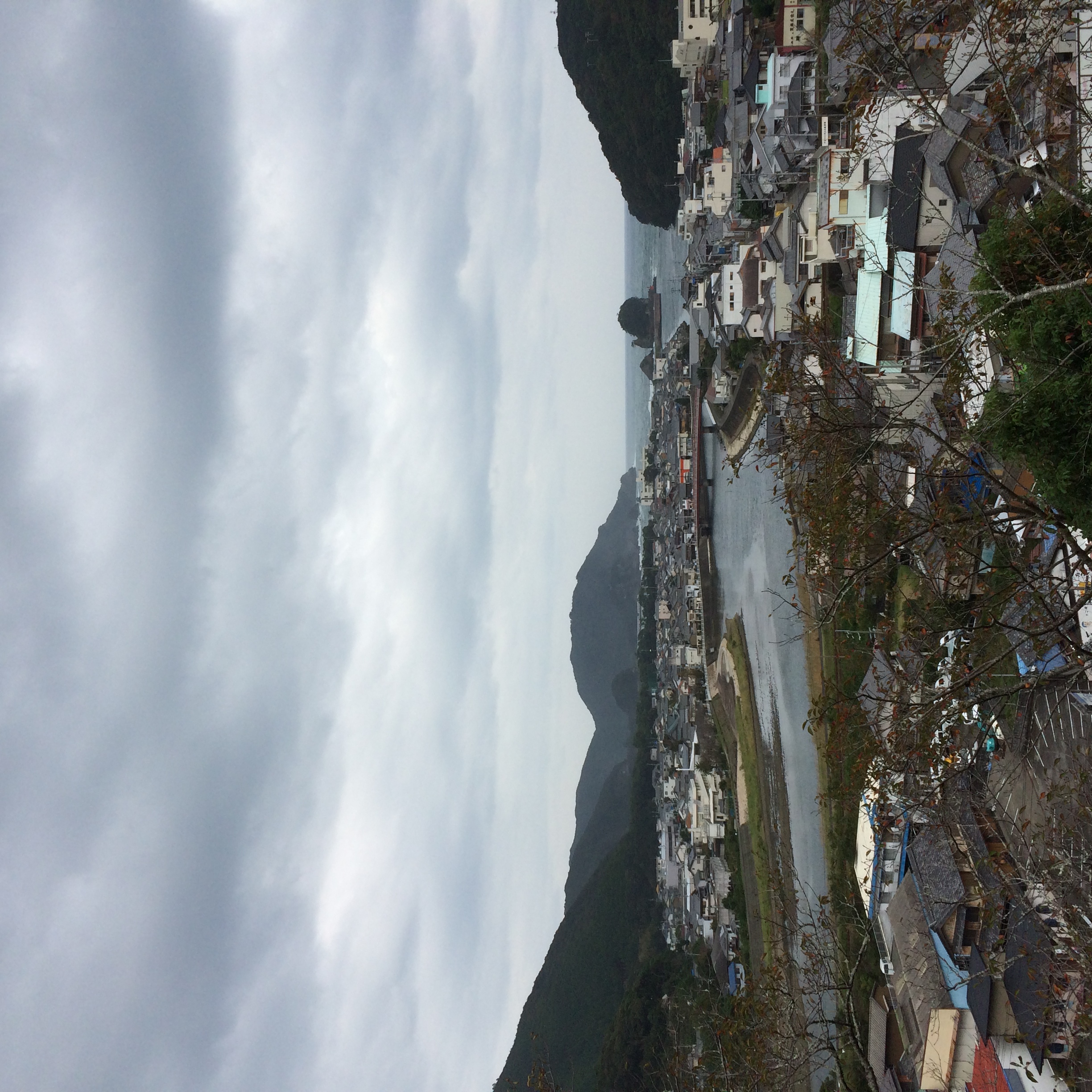
The Castle
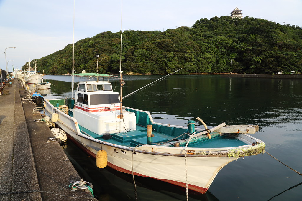
The bay side castle
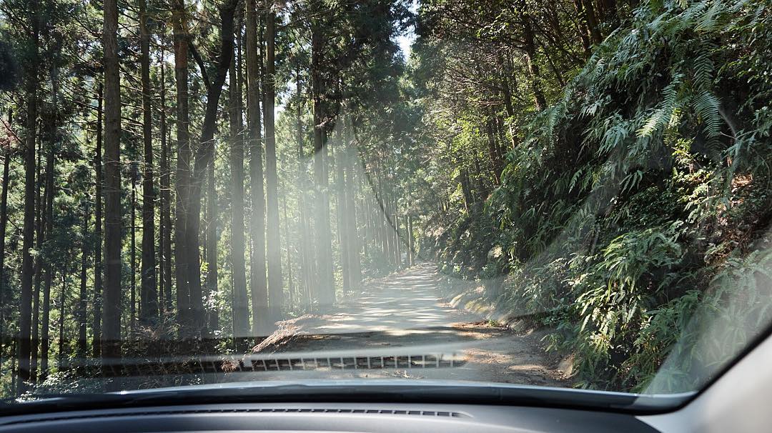
今天在這種路上會了有十次車吧。 覺得運很好命很大。 #ドライブ
New photo added to "Camera Roll"
New photo added to "Camera Roll"
New photo added to "Camera Roll"
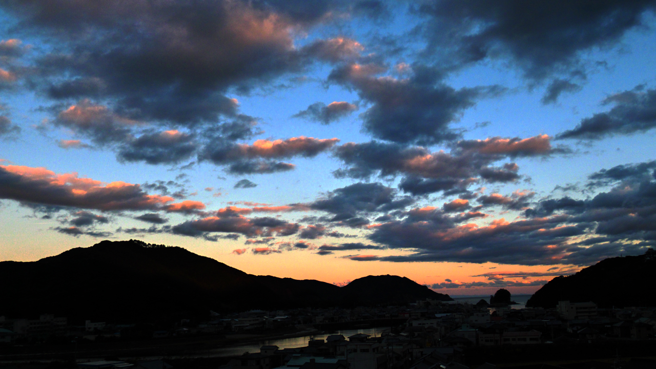
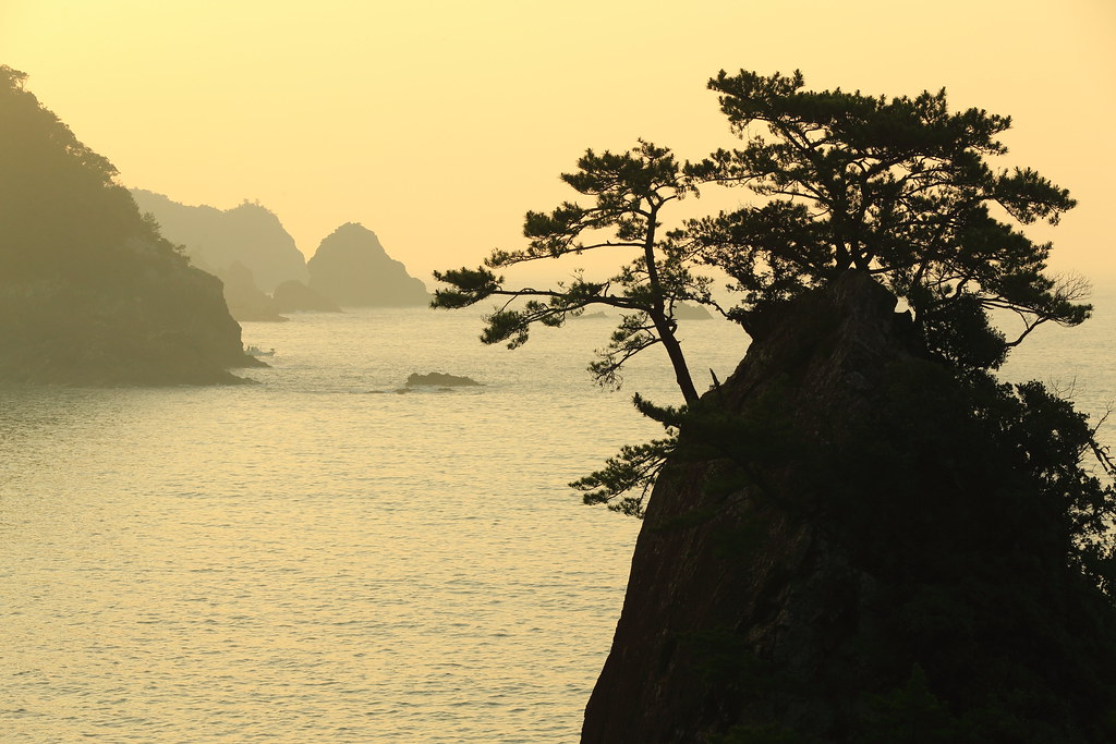
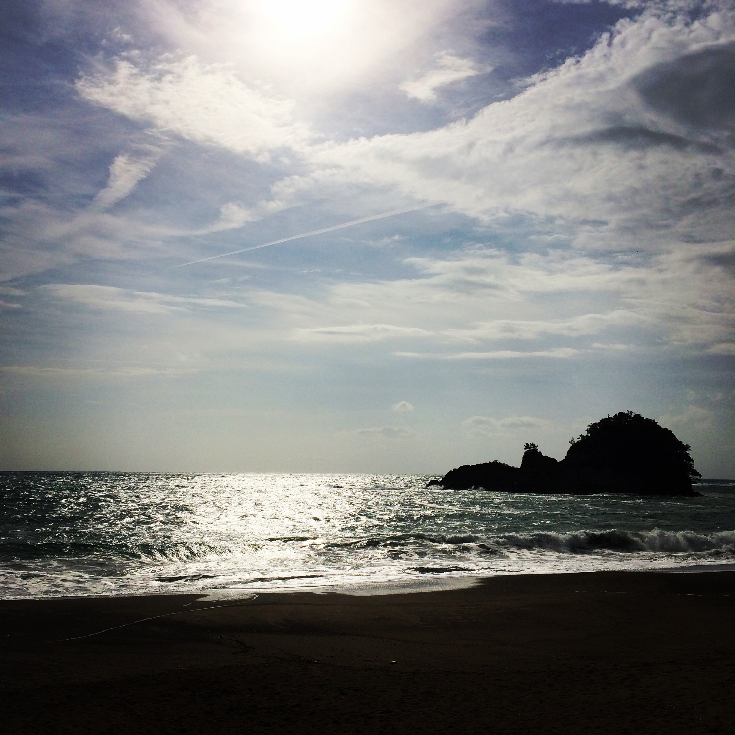
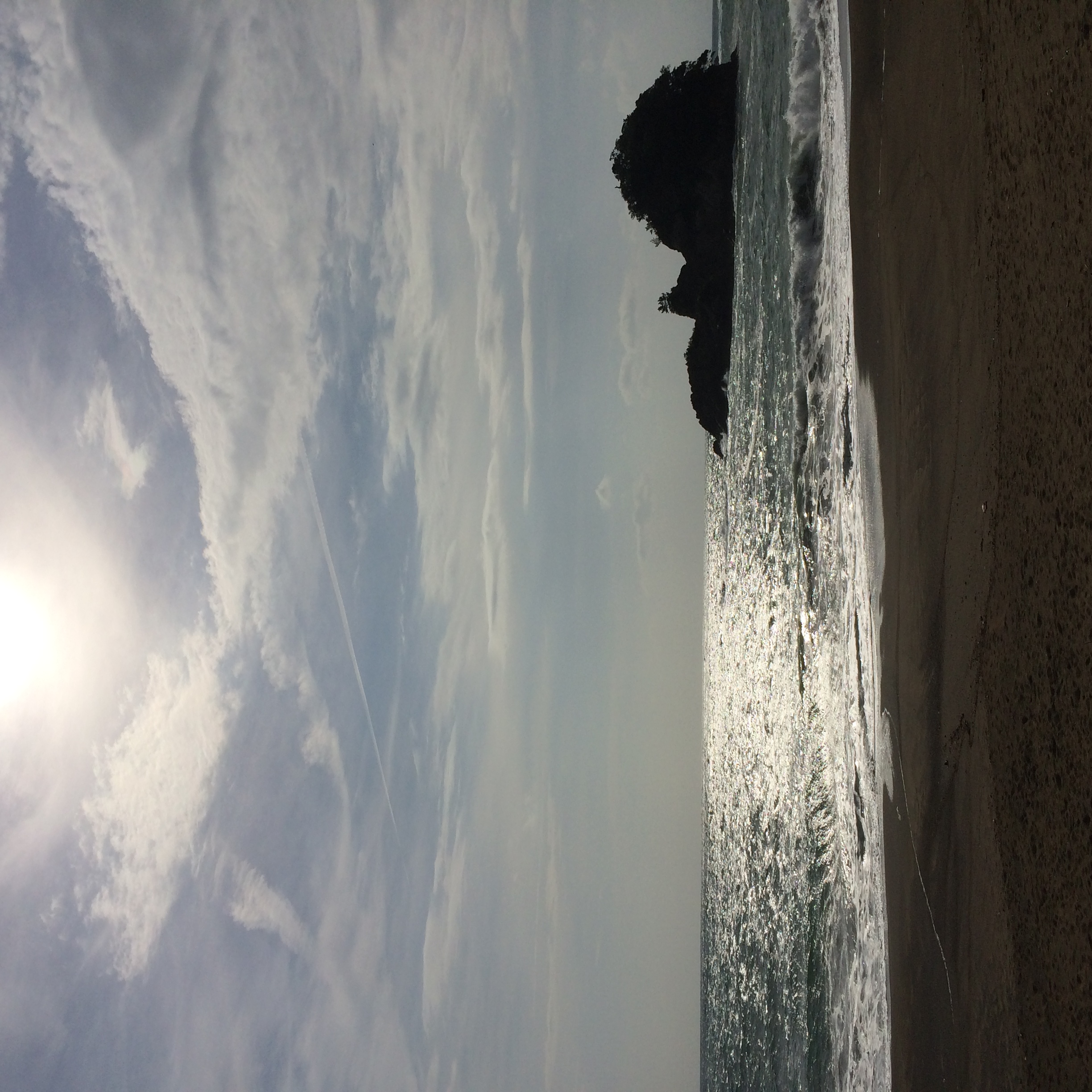
日和佐の夕暮れ

MHH Shikoku Temple Trek, November 2014
MHH Shikoku Temple Trek, November 2014
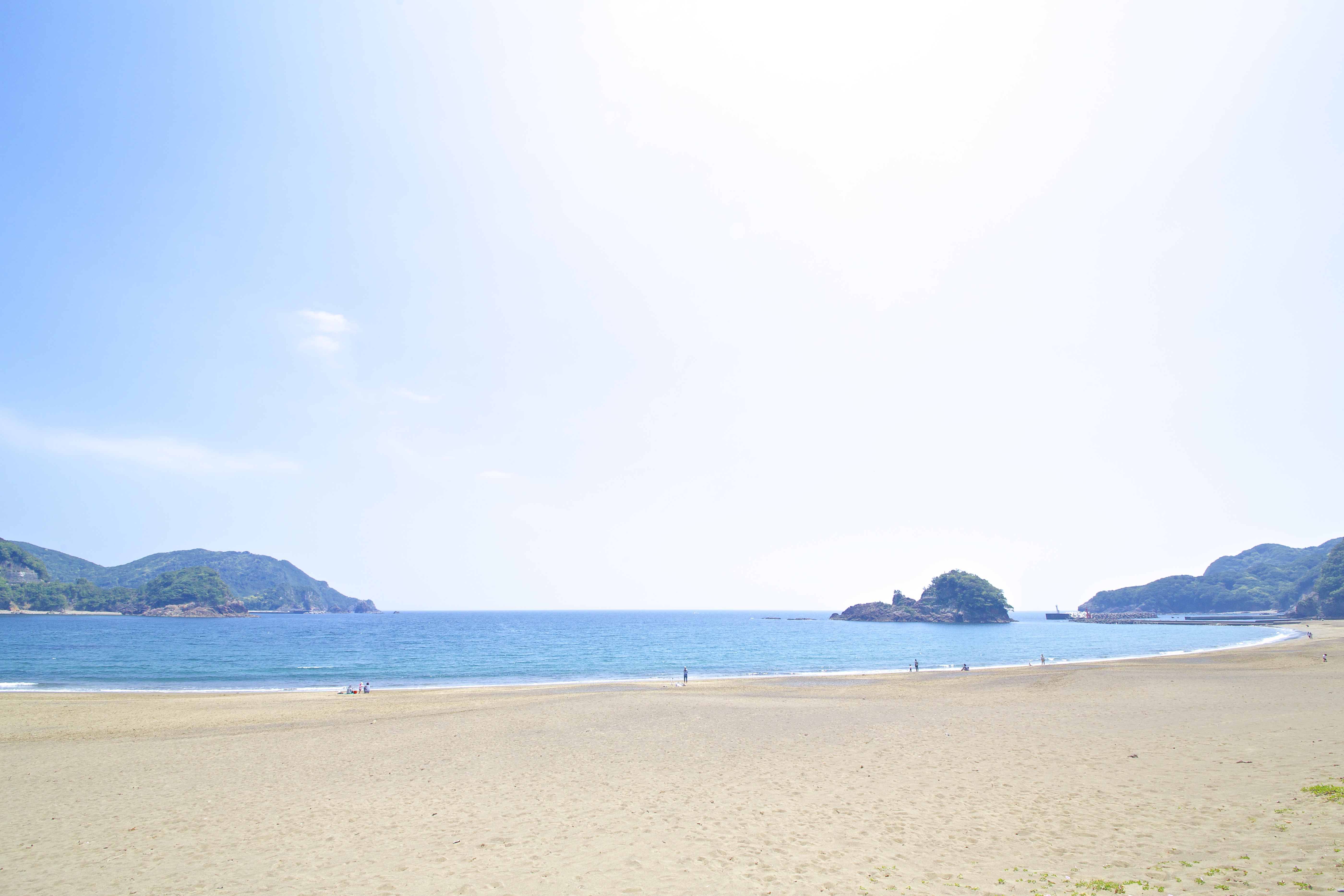
大浜海岸@美波町・徳島県
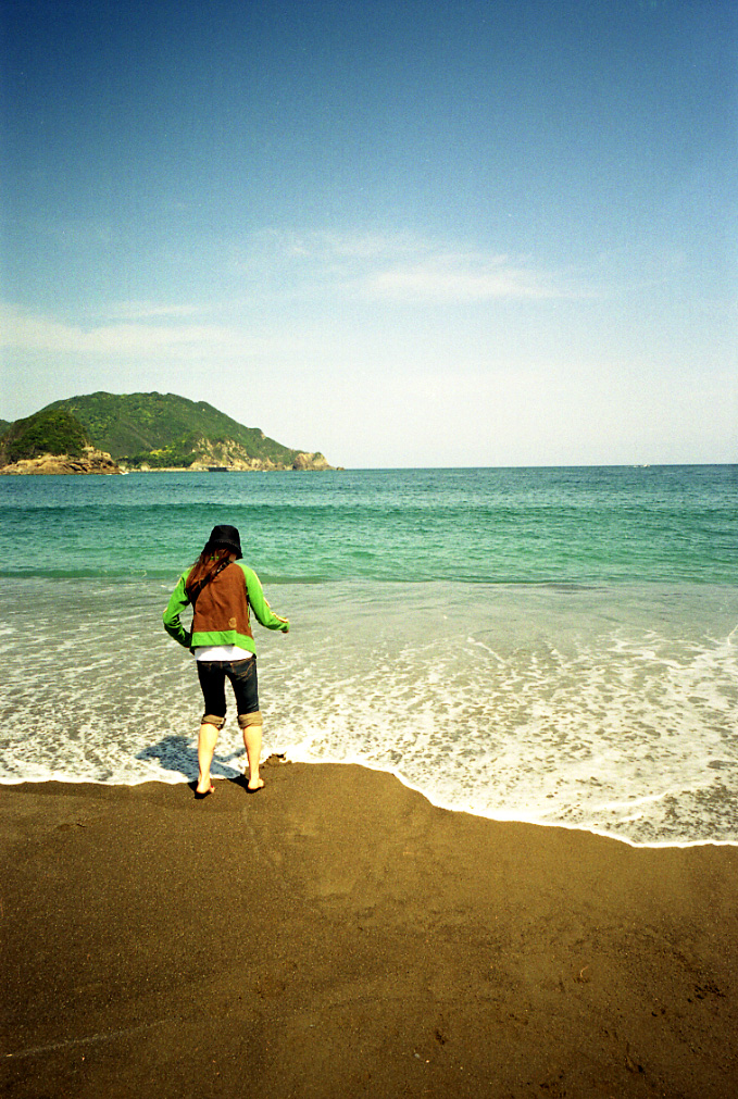
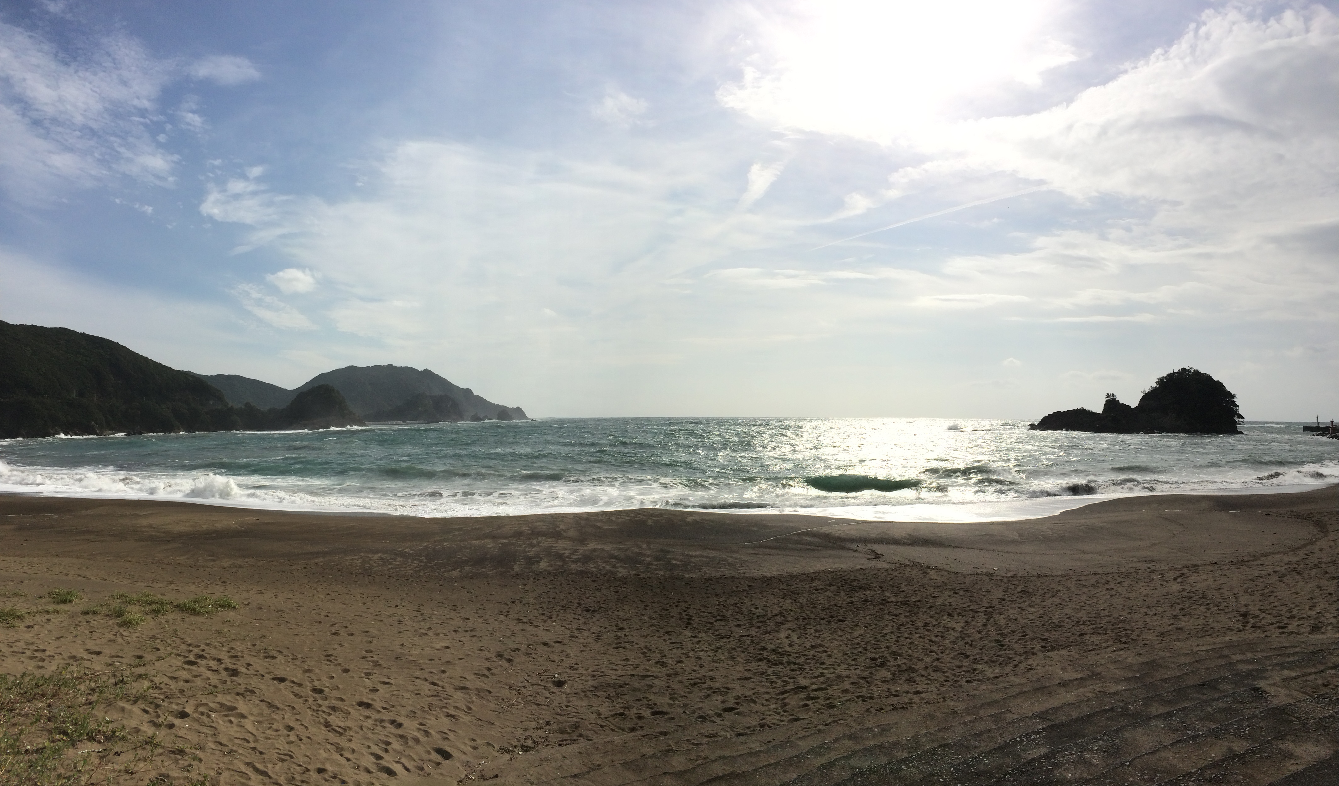
sea green
New photo added to "Camera Roll"
Topographic Map of 40-9 Kiki, Minami-chō, Kaifu-gun, Tokushima-ken -, Japan
Find elevation by address:

Places near 40-9 Kiki, Minami-chō, Kaifu-gun, Tokushima-ken -, Japan:
Naka
Kokatsu-1 Tachibanachō, Anan-shi, Tokushima-ken -, Japan
Owata-47 Nagaikechō, Anan-shi, Tokushima-ken -, Japan
Uchigane- Hisakuni, Katsuura-chō, Katsuura-gun, Tokushima-ken -, Japan
Katsuura
Anan
Kiyozu- Tatsuechō, Komatsushima-shi, Tokushima-ken -, Japan
Fujinouchi-18 Masaki, Kamikatsu-chō, Katsuura-gun, Tokushima-ken -, Japan
Kamikatsu
Katsuura District
Midorimatsu-54-2 Akaishichō, Komatsushima-shi, Tokushima-ken -, Japan
Hosone-11 Ikumi, Kamikatsu-chō, Katsuura-gun, Tokushima-ken -, Japan
川原鉄工
Komatsushima
Akemidani-50 Shimo, Sanagouchi-son, Myōdō-gun, Tokushima-ken -, Japan
Hima-47 Hima, Naka-chō, Naka-gun, Tokushima-ken -, Japan
Myodo District
Sanagouchi
Kitauetsuno- Jinryō, Kamiyama-chō, Myōzai-gun, Tokushima-ken -, Japan
Kamiyama
Recent Searches:
- Elevation of 7 Waterfall Way, Tomball, TX, USA
- Elevation of SW 57th Ave, Portland, OR, USA
- Elevation of Crocker Dr, Vacaville, CA, USA
- Elevation of Pu Ngaol Community Meeting Hall, HWHM+3X7, Krong Saen Monourom, Cambodia
- Elevation of Royal Ontario Museum, Queens Park, Toronto, ON M5S 2C6, Canada
- Elevation of Groblershoop, South Africa
- Elevation of Power Generation Enterprises | Industrial Diesel Generators, Oak Ave, Canyon Country, CA, USA
- Elevation of Chesaw Rd, Oroville, WA, USA
- Elevation of N, Mt Pleasant, UT, USA
- Elevation of 6 Rue Jules Ferry, Beausoleil, France