Elevation of Katsuura District, Tokushima Prefecture, Japan
Location: Japan > Tokushima Prefecture >
Longitude: 134.416
Latitude: 33.913
Elevation: 317m / 1040feet
Barometric Pressure: 98KPa
Elevation Map:
Satellite Map:
Related Photos:
???
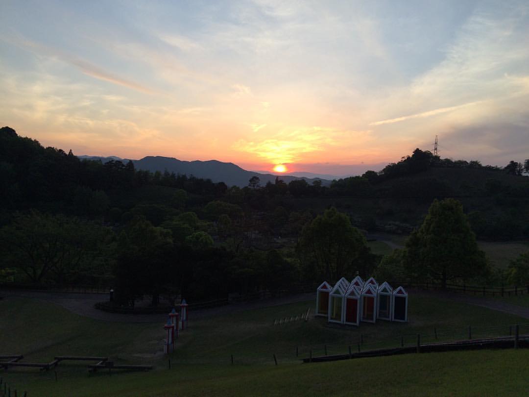
沈みゆく夕日。 #夕日 #夕陽 #サンセット #sunset
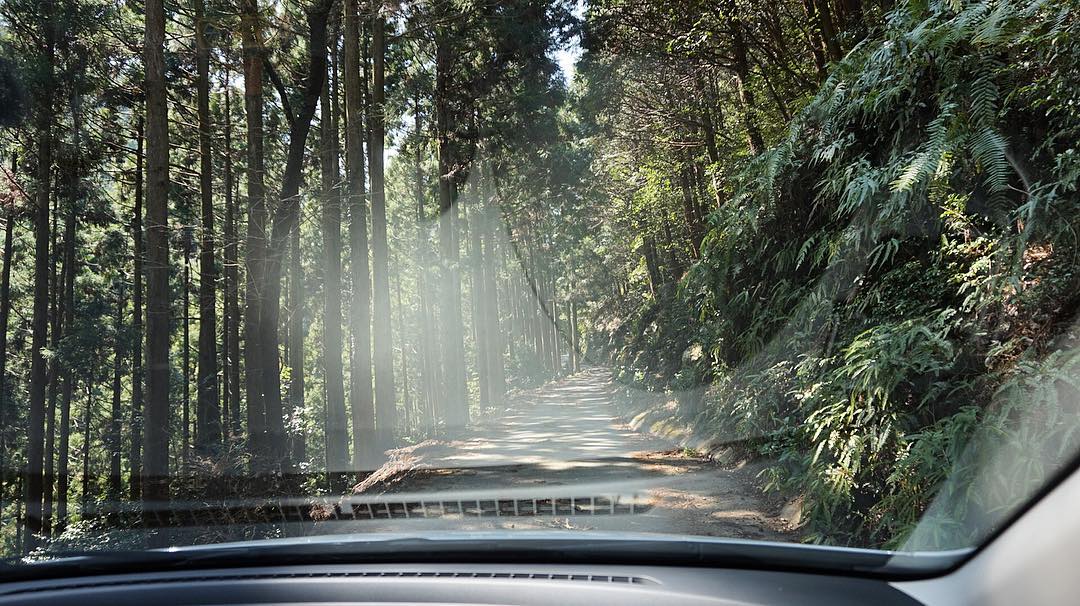
今天在這種路上會了有十次車吧。 覺得運很好命很大。 #ドライブ
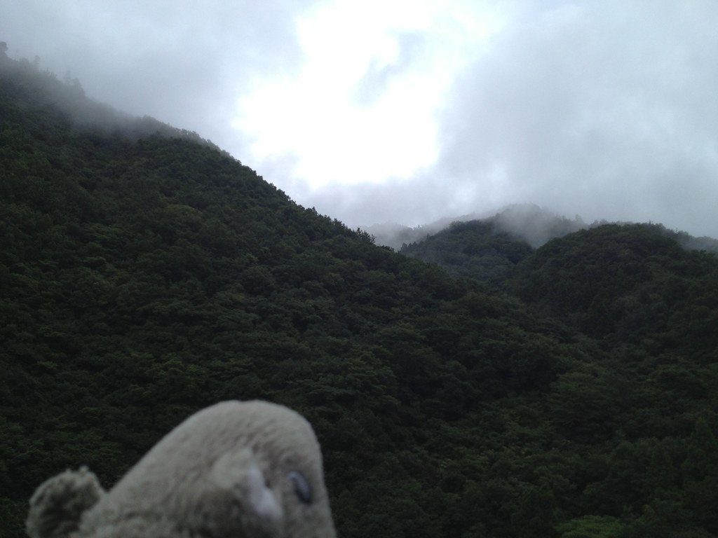
2013-09-01 11.02.17
2013-09-01 11.44.25
2013-09-01 11.44.18
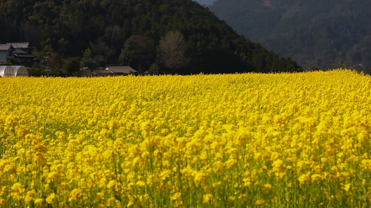
菜の花
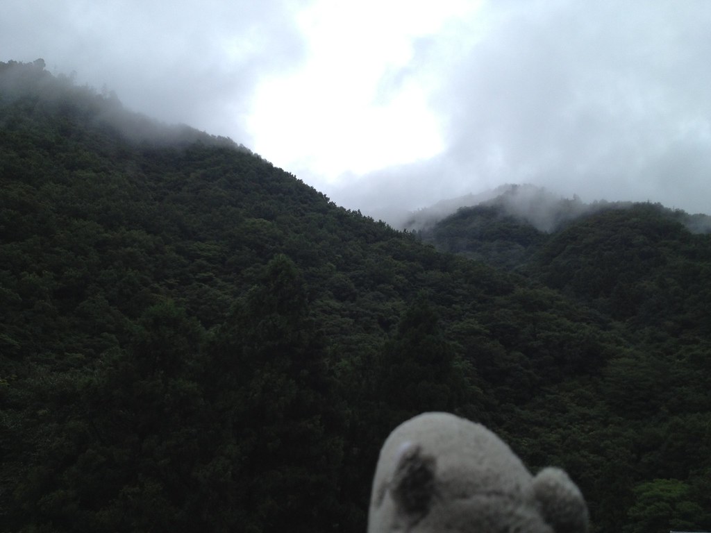
2013-09-01 11.44.23

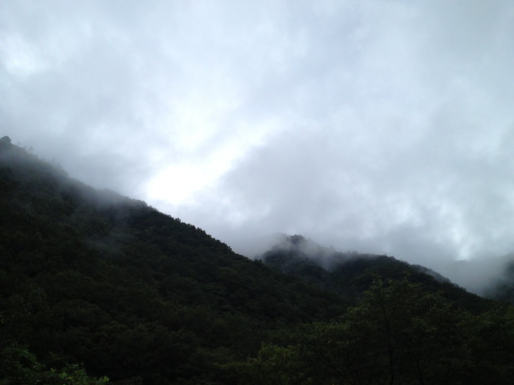
2013-09-01 11.02.38

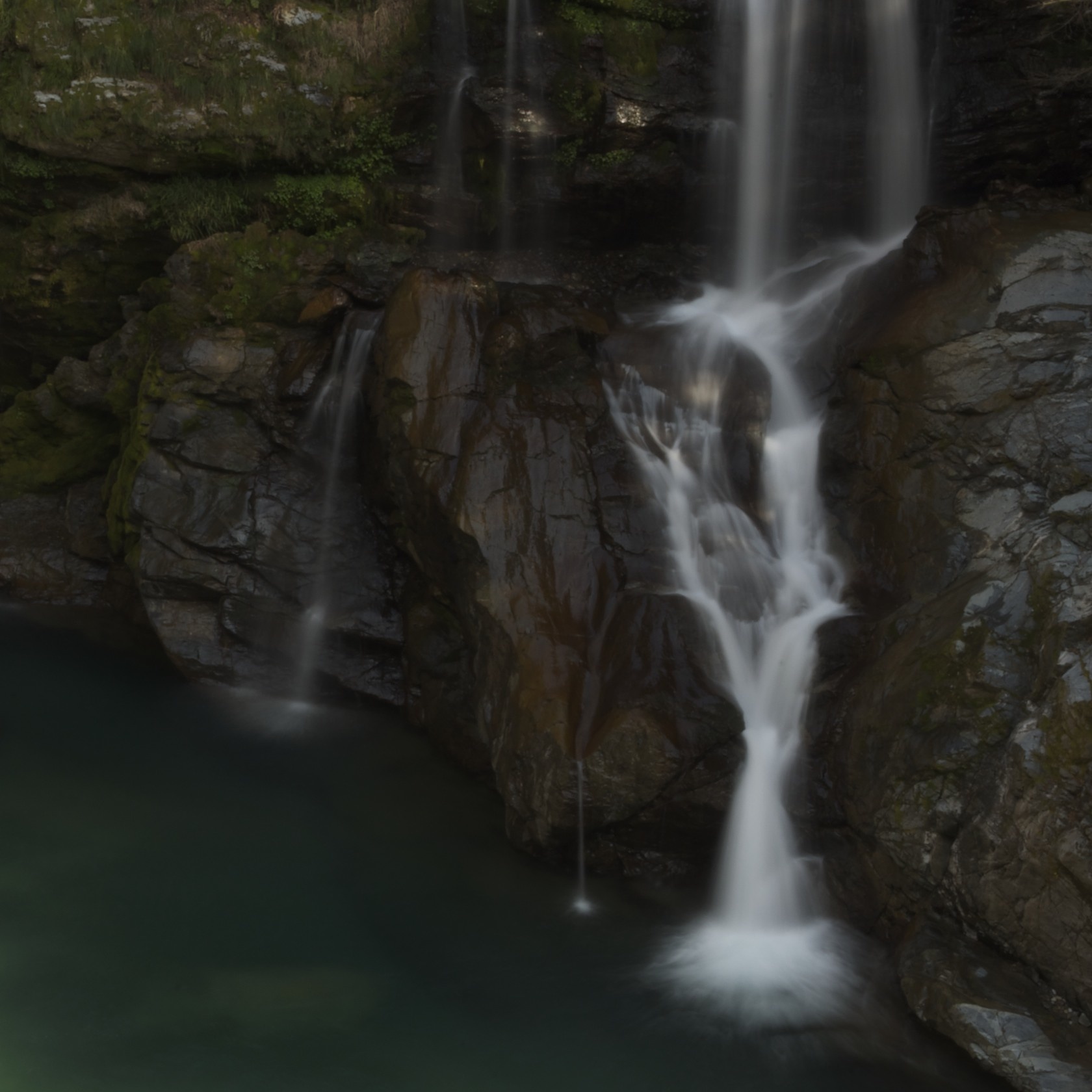
Amagoi Waterfall (male)

Amagoi Waterfall (female)

菜の花の絨毯
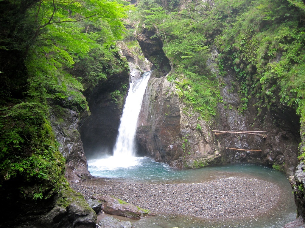
大轟の滝 Ootodoro waterfall, Toukushima

One of the smaller Waterfalls on the way up
Ookama waterfall(大釜滝)
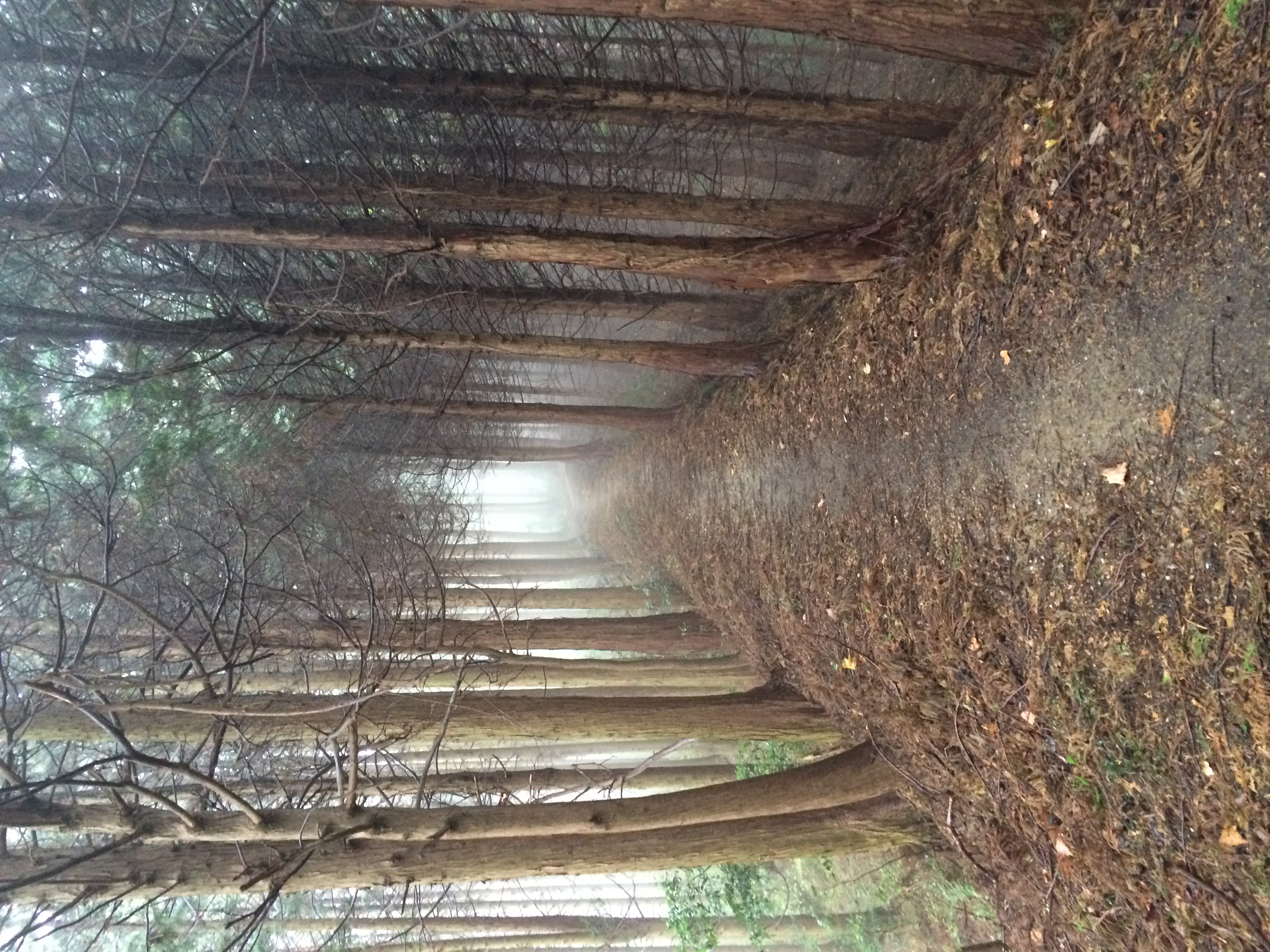
MHH Shikoku Temple Trek, November 2014

徳島 大川原高原
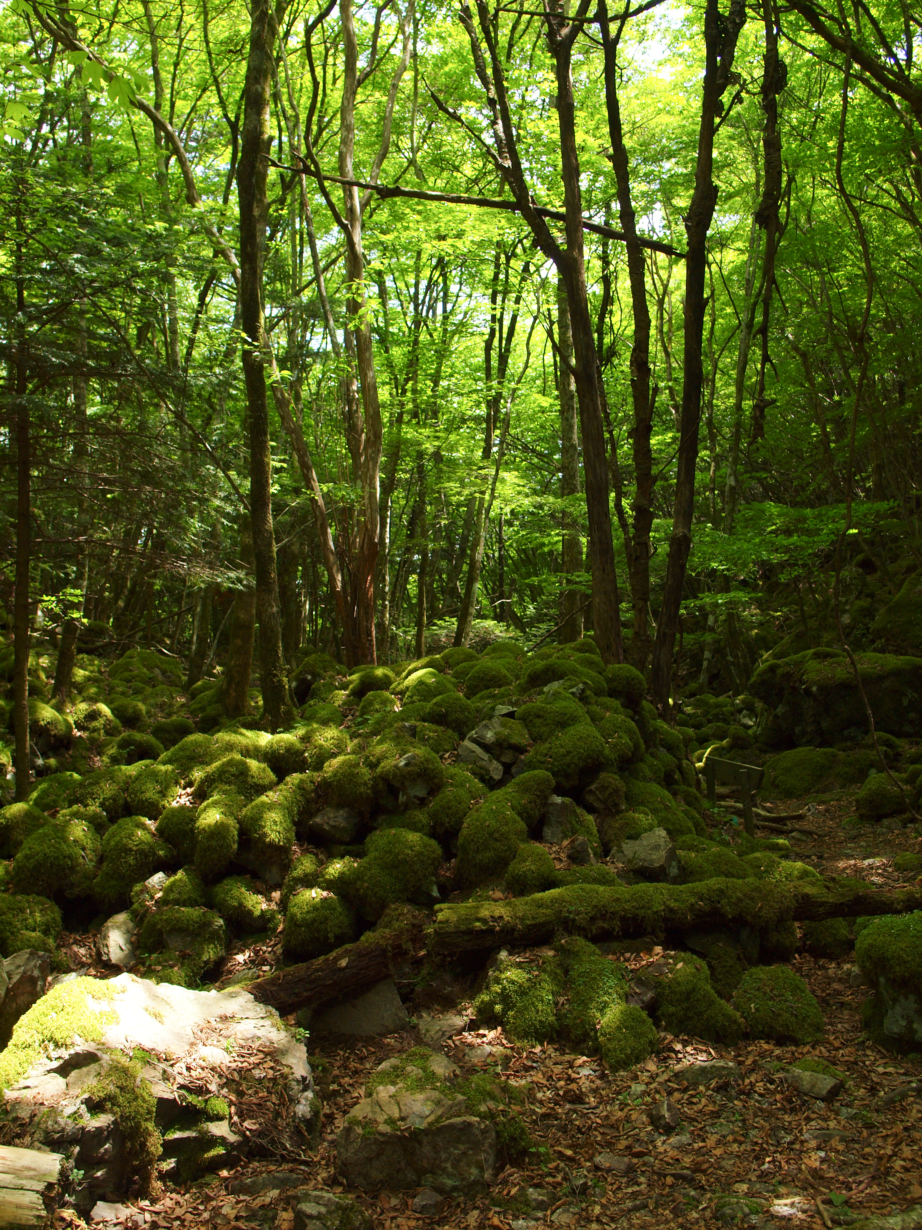
山犬嶽 / Yamainudake
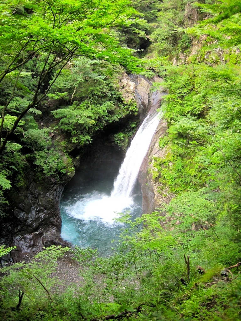
Ookama waterfall(大釜滝) (1)

See you on the road tomorrow. #vscocam #rpkamikatsu #mozucoffee スタート前に5人の集合写真がないまま笑 すでにみんなベッドに入りました(マジメか) MOZU COFFEEメンバーの中でダチョウみたいな顔をしているのが私です。 コース上でランデブーの際は、よかったらお気軽に声をかけてくださいね。お初の方もいて、誰が誰やらわかってなかったりするので笑 コテージ横を流れる川のせせらぎを聞きながらボンニュイです。

2013-09-01 11.44.22
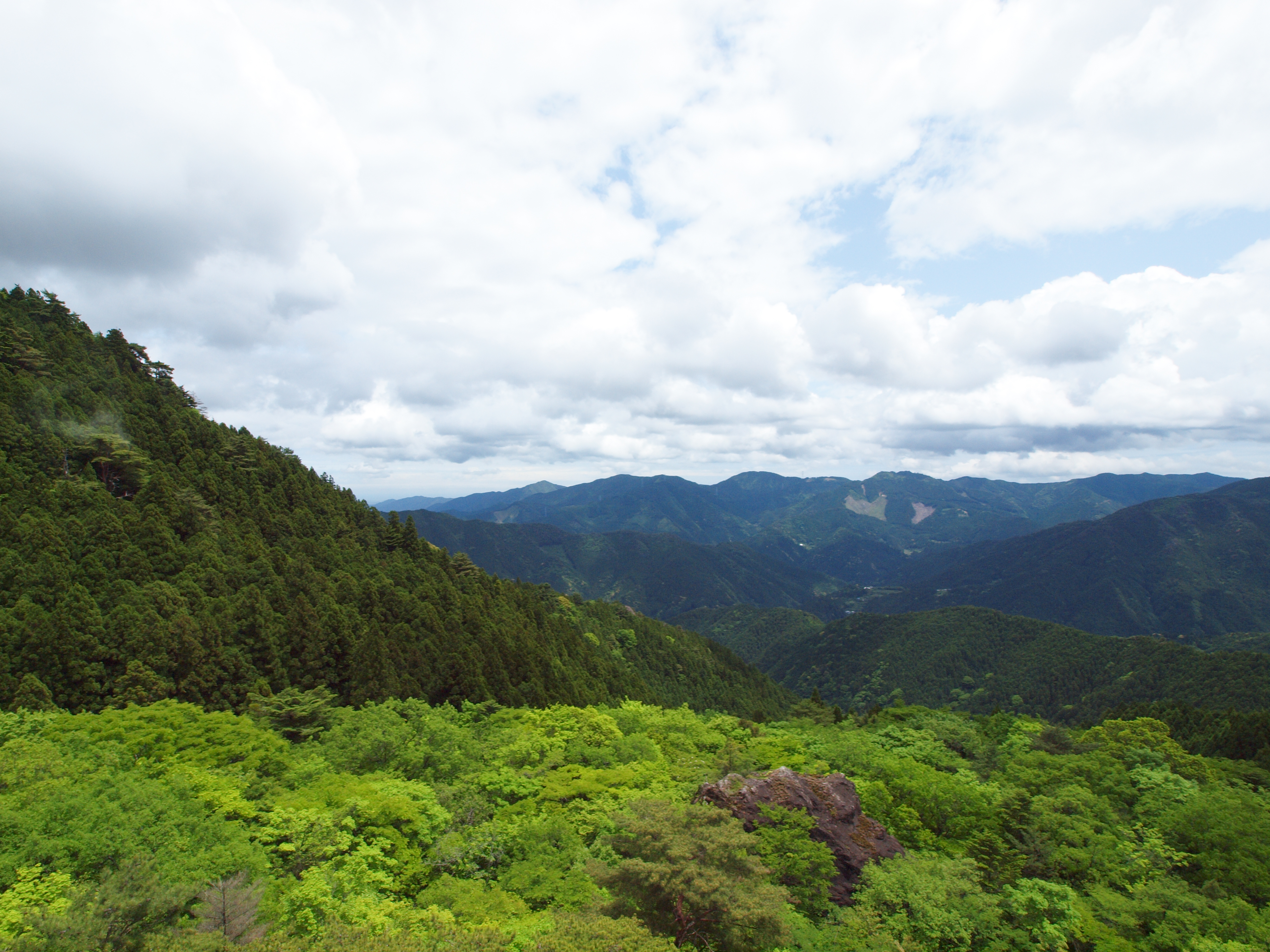
山犬嶽 / Yamainudake
Topographic Map of Katsuura District, Tokushima Prefecture, Japan
Find elevation by address:

Places in Katsuura District, Tokushima Prefecture, Japan:
Places near Katsuura District, Tokushima Prefecture, Japan:
Fujinouchi-18 Masaki, Kamikatsu-chō, Katsuura-gun, Tokushima-ken -, Japan
Kamikatsu
Hosone-11 Ikumi, Kamikatsu-chō, Katsuura-gun, Tokushima-ken -, Japan
Akemidani-50 Shimo, Sanagouchi-son, Myōdō-gun, Tokushima-ken -, Japan
Kitauetsuno- Jinryō, Kamiyama-chō, Myōzai-gun, Tokushima-ken -, Japan
Kamiyama
Myodo District
Sanagouchi
Uchigane- Hisakuni, Katsuura-chō, Katsuura-gun, Tokushima-ken -, Japan
Katsuura
Myozai District
Inotani-80 Ano, Kamiyama-chō, Myōzai-gun, Tokushima-ken -, Japan
Naka
Hima-47 Hima, Naka-chō, Naka-gun, Tokushima-ken -, Japan
Ishii
-4 Kamojimachō Jōgejima, Yoshinogawa-shi, Tokushima-ken -, Japan
Ikekita- Takahara, Ishii-chō, Myōzai-gun, Tokushima-ken -, Japan
Hinokuchi-36 Kawashimachōgaku, Yoshinogawa-shi, Tokushima-ken -, Japan
川原鉄工
Kiyozu- Tatsuechō, Komatsushima-shi, Tokushima-ken -, Japan
Recent Searches:
- Elevation of Holloway Ave, San Francisco, CA, USA
- Elevation of Norfolk, NY, USA
- Elevation of - San Marcos Pass Rd, Santa Barbara, CA, USA
- Elevation of th Pl SE, Issaquah, WA, USA
- Elevation of 82- D Rd, Captain Cook, HI, USA
- Elevation of Harlow CM20 2PR, UK
- Elevation of Shenyang Agricultural University, Dong Ling Lu, Shen He Qu, Shen Yang Shi, Liao Ning Sheng, China
- Elevation of Alpha Dr, Melbourne, FL, USA
- Elevation of Hiroshima University, 1-chōme-3-2 Kagamiyama, Higashihiroshima, Hiroshima -, Japan
- Elevation of Bernina Dr, Lake Arrowhead, CA, USA