Elevation of Minami, Kaifu District, Tokushima Prefecture, Japan
Location: Japan > Tokushima Prefecture > Kaifu District >
Longitude: 134.535443
Latitude: 33.7345532
Elevation: 5m / 16feet
Barometric Pressure: 101KPa
Elevation Map:
Satellite Map:
Related Photos:
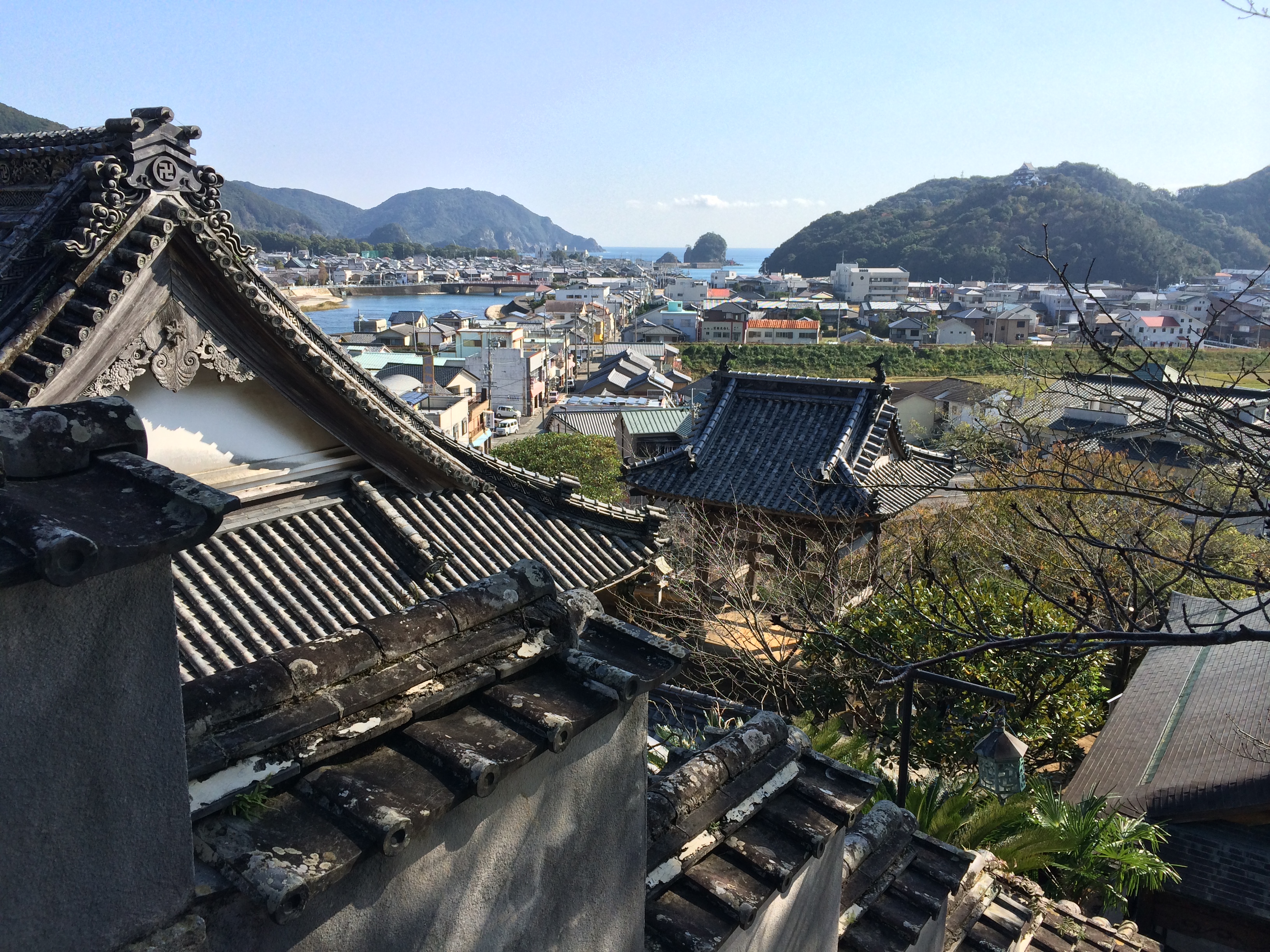
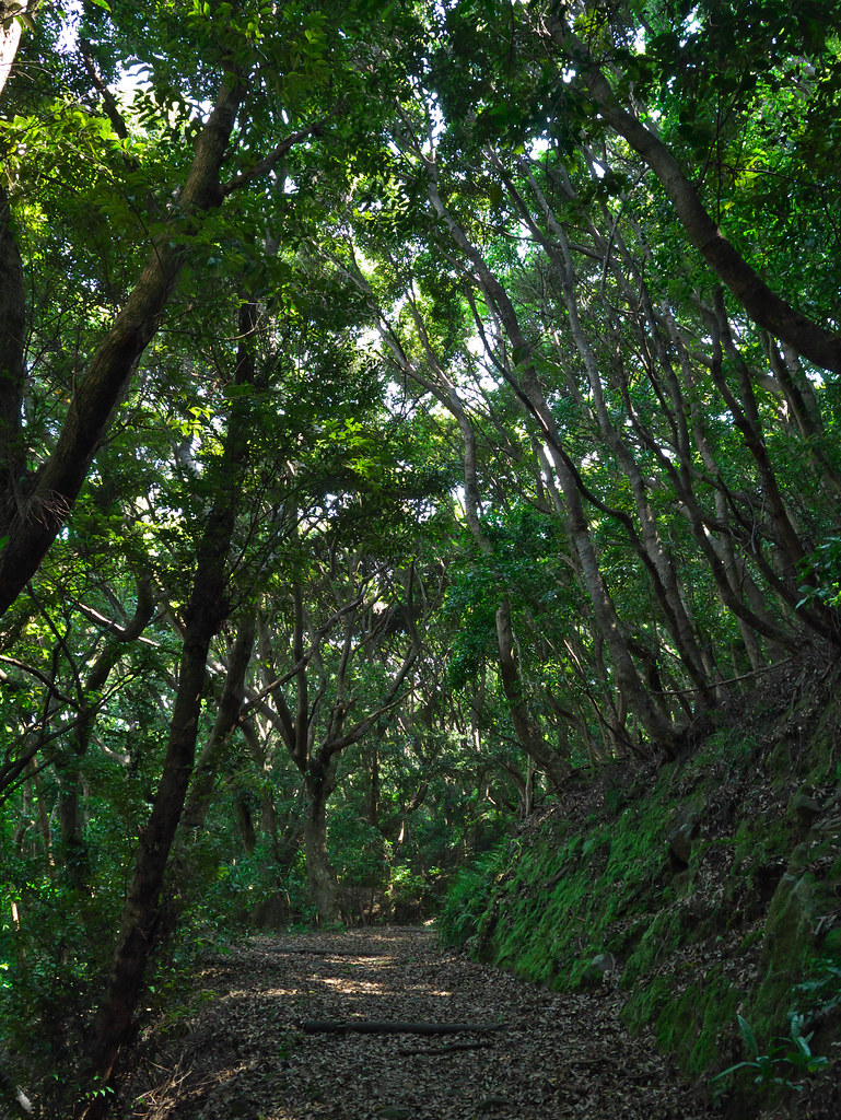
MHH Shikoku Temple Trek, November 2014
Early morning
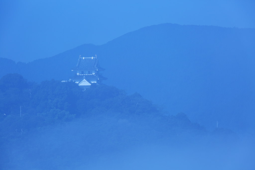
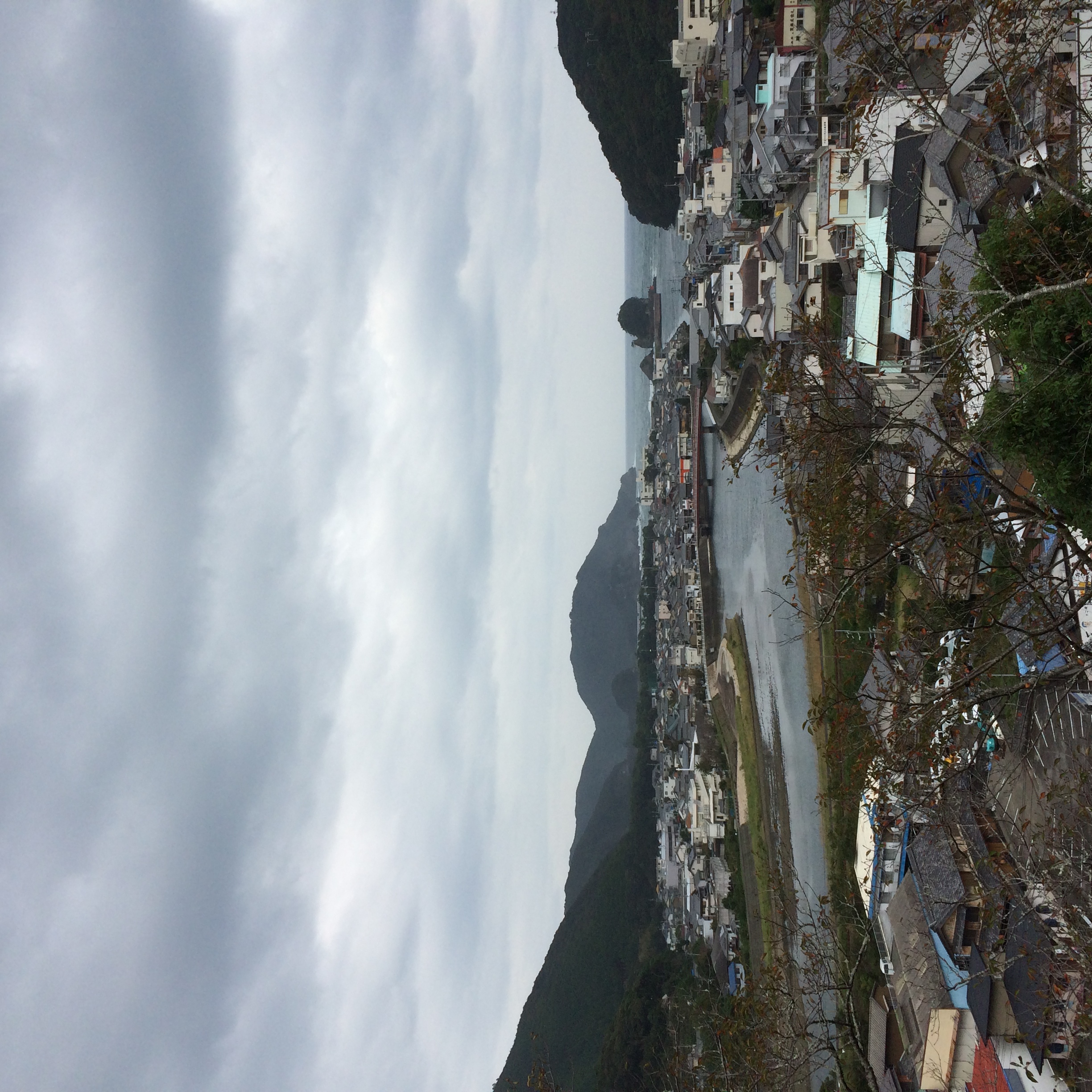
The Castle
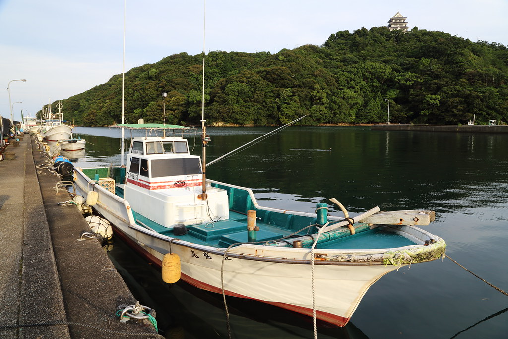
The bay side castle
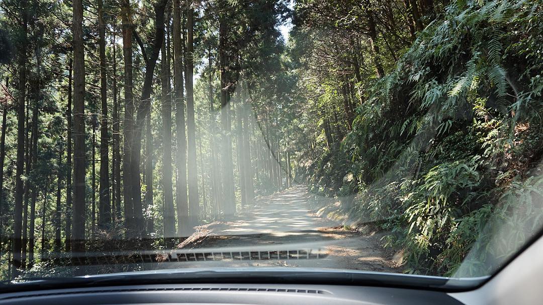
今天在這種路上會了有十次車吧。 覺得運很好命很大。 #ドライブ

Fishing harbor
New photo added to "Camera Roll"
New photo added to "Camera Roll"
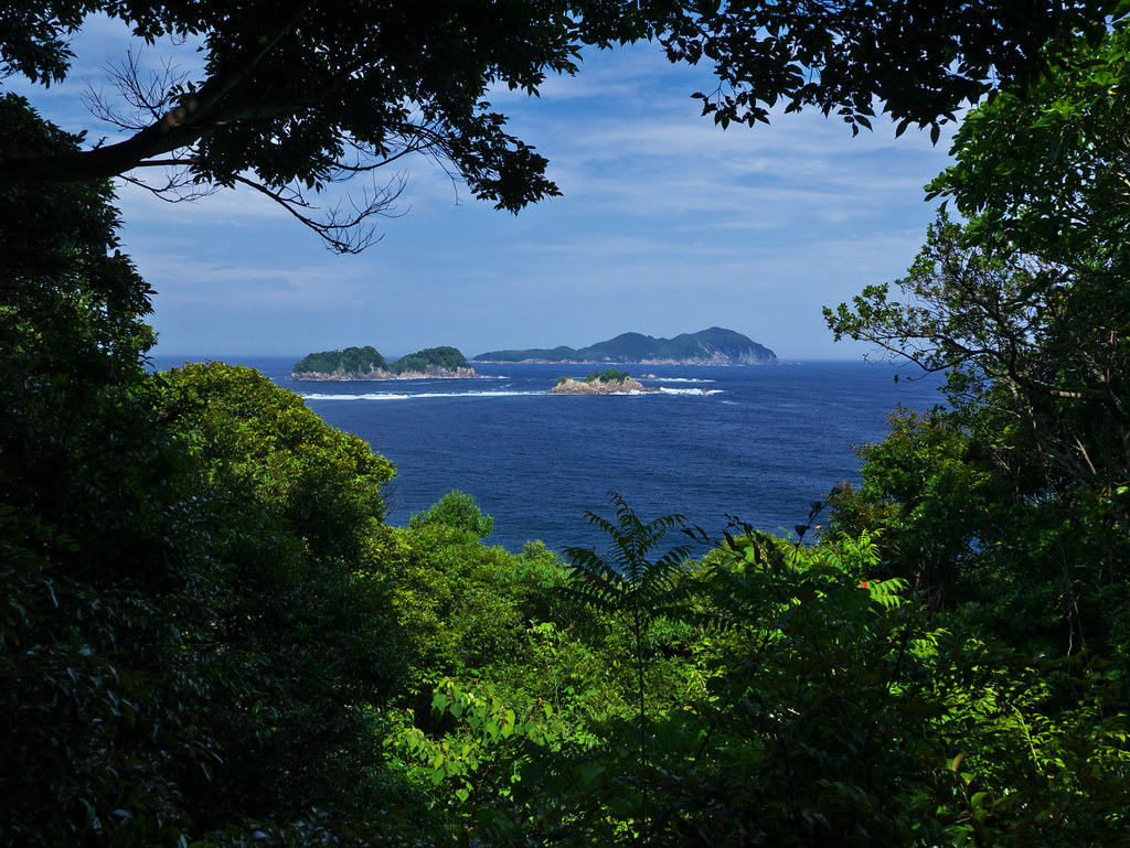
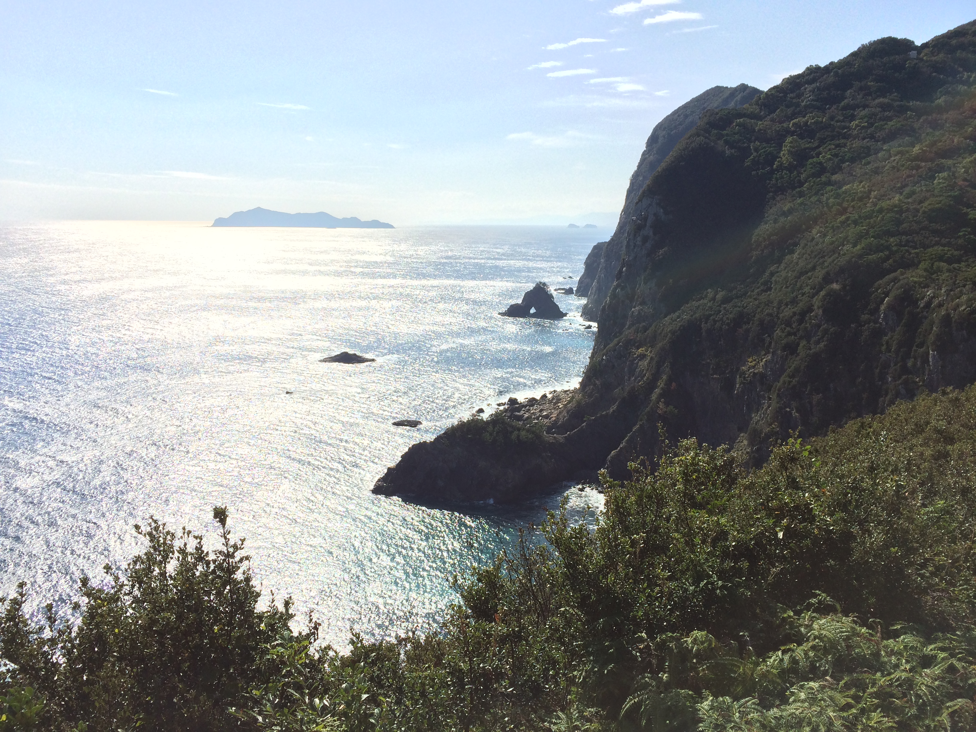
出羽島から大島、津島を臨む
New photo added to "Camera Roll"
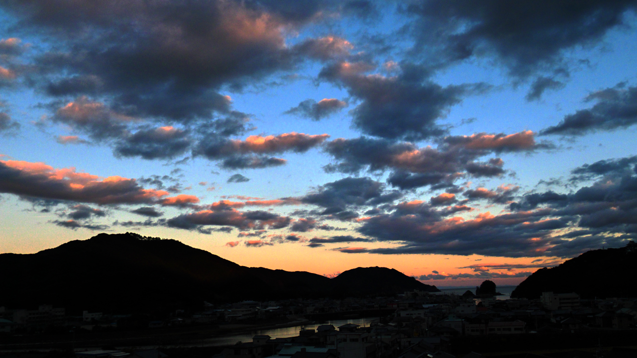
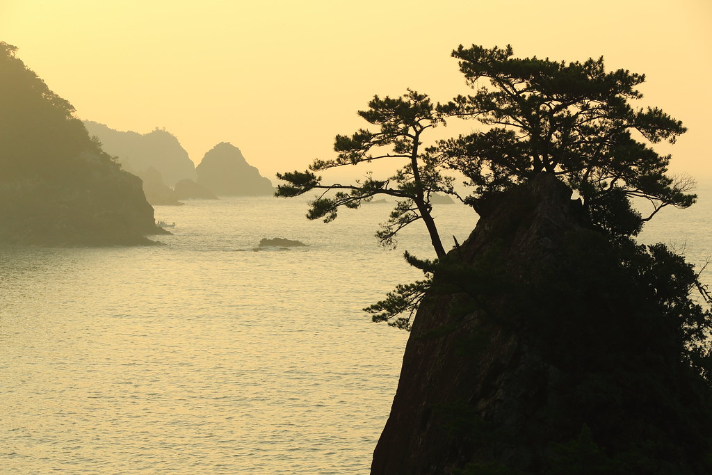
日和佐の夕暮れ

MHH Shikoku Temple Trek, November 2014
MHH Shikoku Temple Trek, November 2014
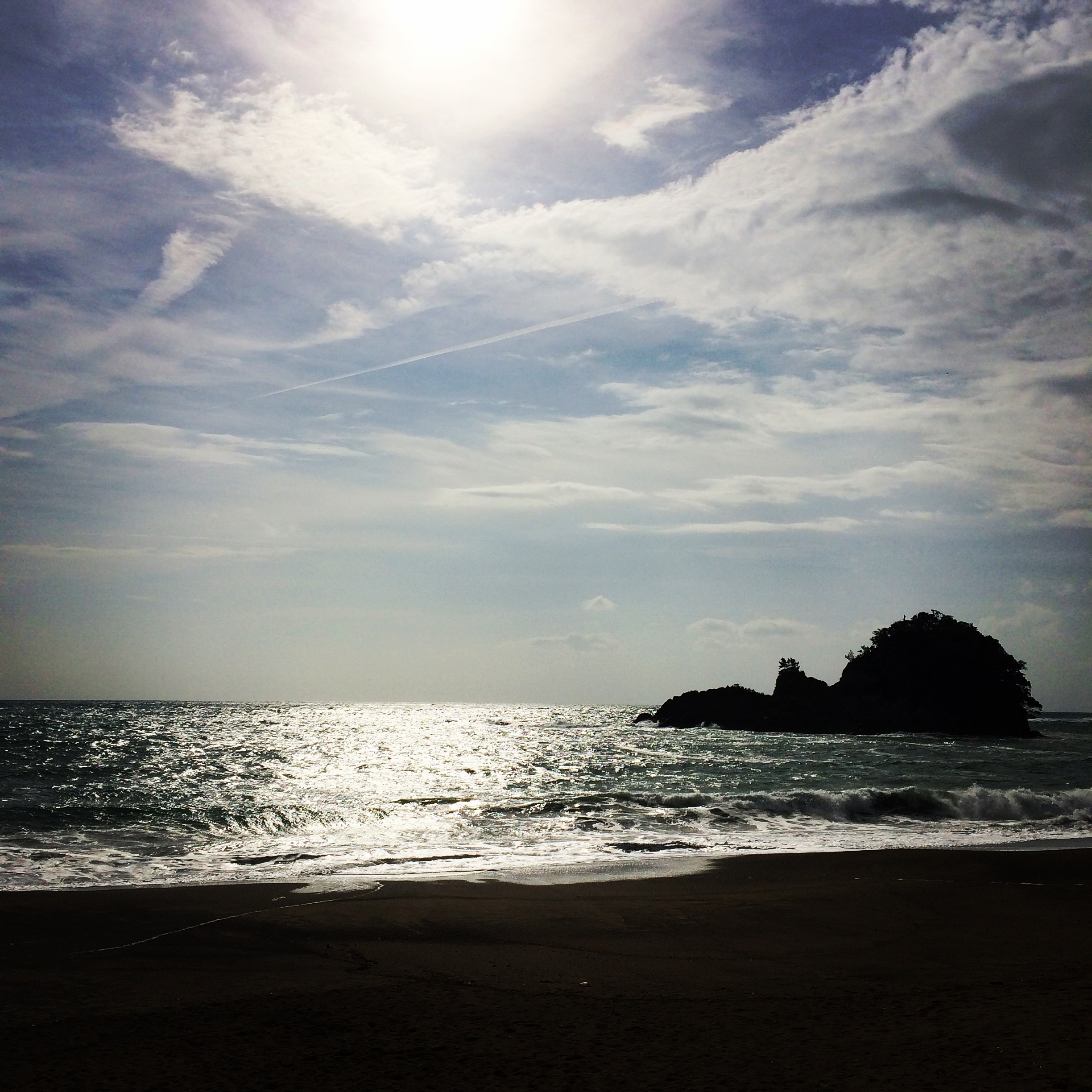
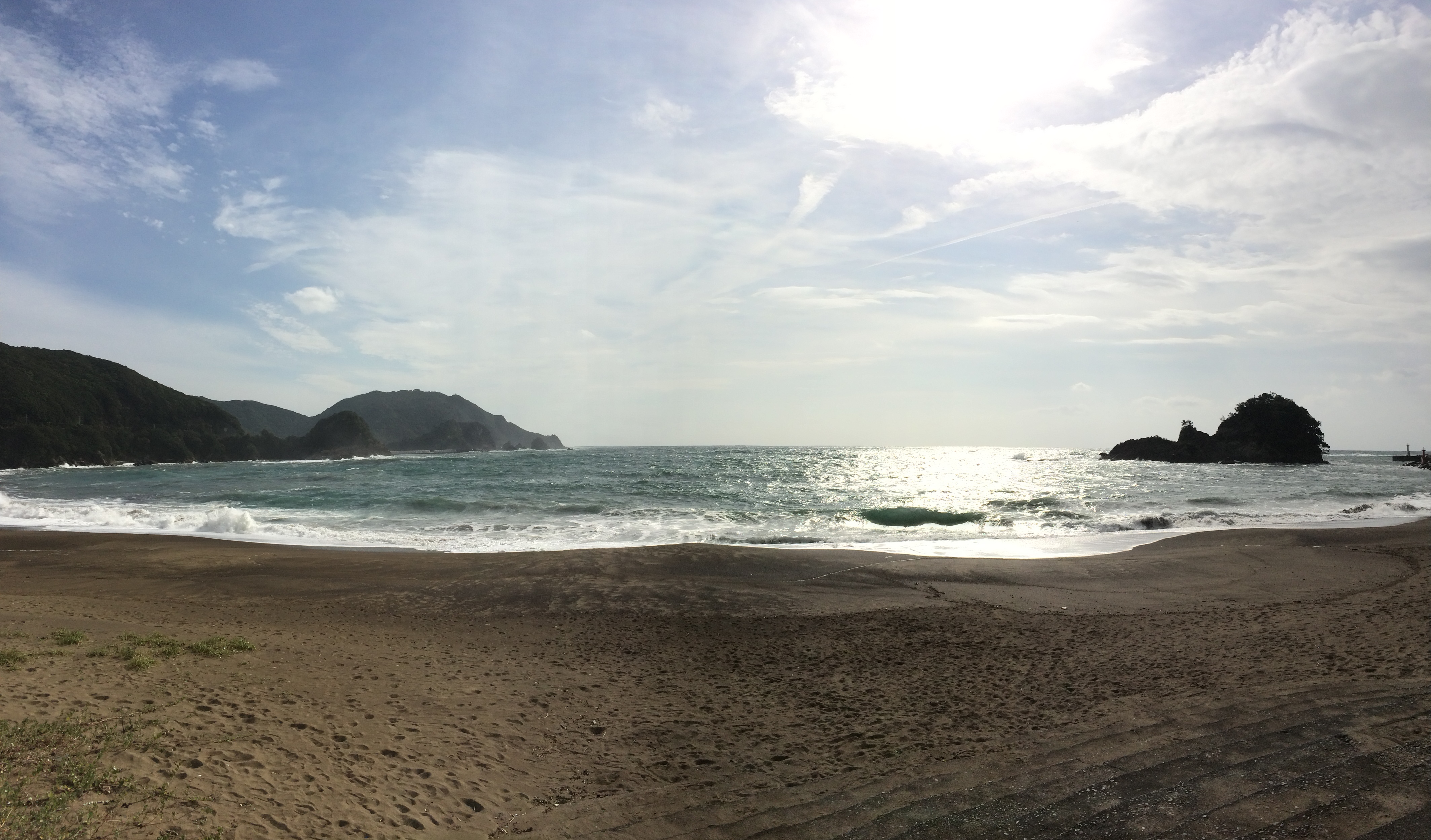
大浜海岸@美波町・徳島県
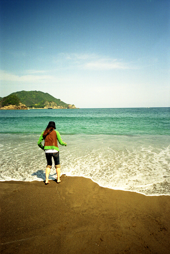
sea green
New photo added to "Camera Roll"
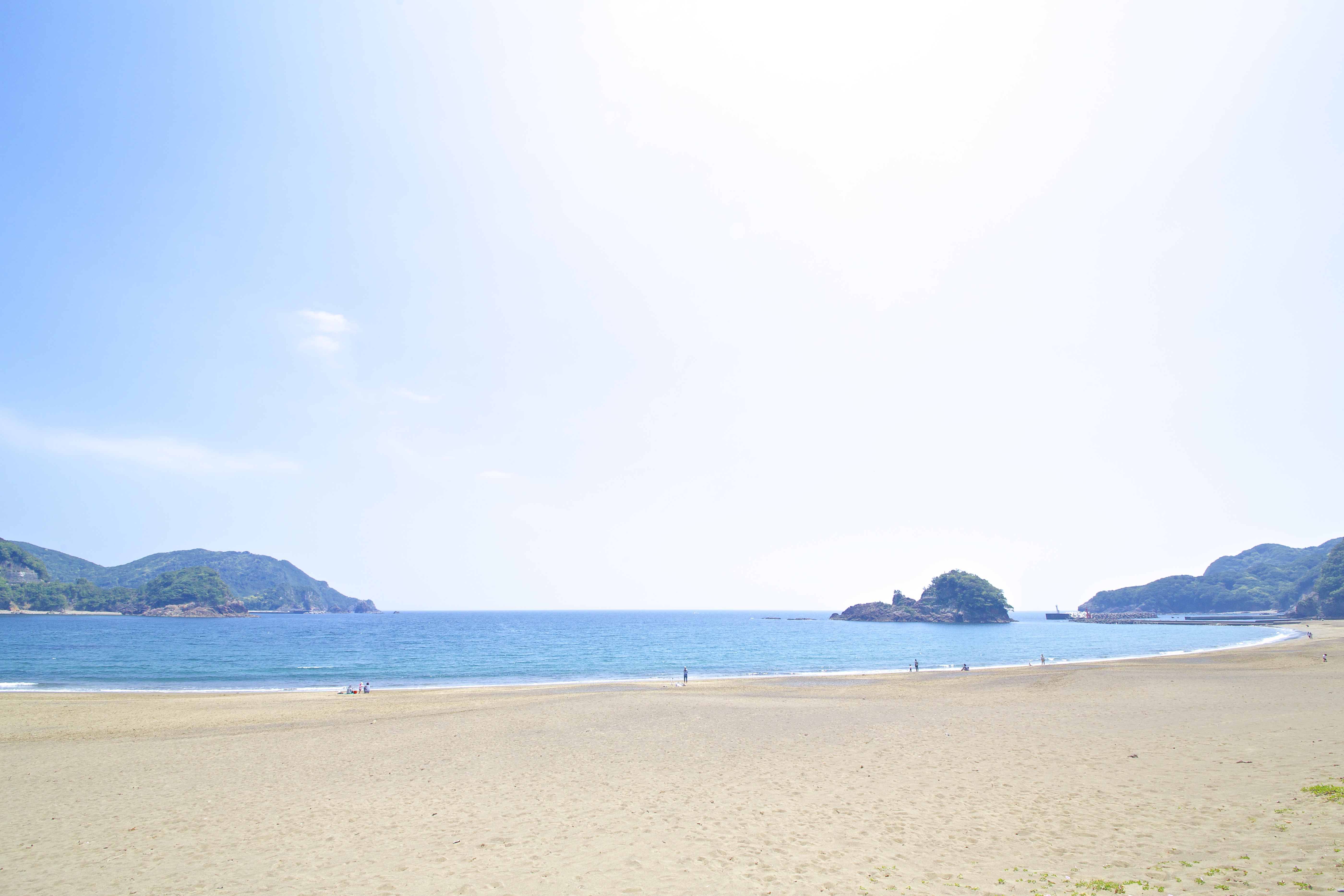
出羽島
Topographic Map of Minami, Kaifu District, Tokushima Prefecture, Japan
Find elevation by address:

Places in Minami, Kaifu District, Tokushima Prefecture, Japan:
Places near Minami, Kaifu District, Tokushima Prefecture, Japan:
Kaifu District
Kamikodani-42 Ogawa, Kaiyō-chō, Kaifu-gun, Tokushima-ken -, Japan
Kaiyo
Nakazawa-78 Noe, Kaiyō-chō, Kaifu-gun, Tokushima-ken -, Japan
Kareidani-21 Hirai, Kaiyō-chō, Kaifu-gun, Tokushima-ken -, Japan
Toyo
Hei- None, Tōyō-chō, Aki-gun, Kōchi-ken -, Japan
Futamata, Kitagawa-mura, Aki-gun, Kōchi-ken -, Japan
Shima, Kitagawa-mura, Aki-gun, Kōchi-ken -, Japan
Aki District
Kō- Kiragawachō, Muroto-shi, Kōchi-ken -, Japan
Kitagawa
Kō, Nahari-chō, Aki-gun, Kōchi-ken -, Japan
Muroto
-36 (Sonota), Tano-chō, Aki-gun, Kōchi-ken -, Japan
Nahari
Tano
Monobechō Ōdochi, Kami-shi, Kōchi-ken -, Japan
Inokuchiotsu, Aki-shi, Kōchi-ken -, Japan
-2 Doi, Aki-shi, Kōchi-ken -, Japan
Recent Searches:
- Elevation of Lampiasi St, Sarasota, FL, USA
- Elevation of Elwyn Dr, Roanoke Rapids, NC, USA
- Elevation of Congressional Dr, Stevensville, MD, USA
- Elevation of Bellview Rd, McLean, VA, USA
- Elevation of Stage Island Rd, Chatham, MA, USA
- Elevation of Shibuya Scramble Crossing, 21 Udagawacho, Shibuya City, Tokyo -, Japan
- Elevation of Jadagoniai, Kaunas District Municipality, Lithuania
- Elevation of Pagonija rock, Kranto 7-oji g. 8"N, Kaunas, Lithuania
- Elevation of Co Rd 87, Jamestown, CO, USA
- Elevation of Tenjo, Cundinamarca, Colombia