Elevation of 1 Hameau des Renaults, Lestre, France
Location: France > Normandy > Manche > Lestre >
Longitude: -1.3041777
Latitude: 49.5253281
Elevation: 2m / 7feet
Barometric Pressure: 101KPa
Elevation Map:
Satellite Map:
Related Photos:
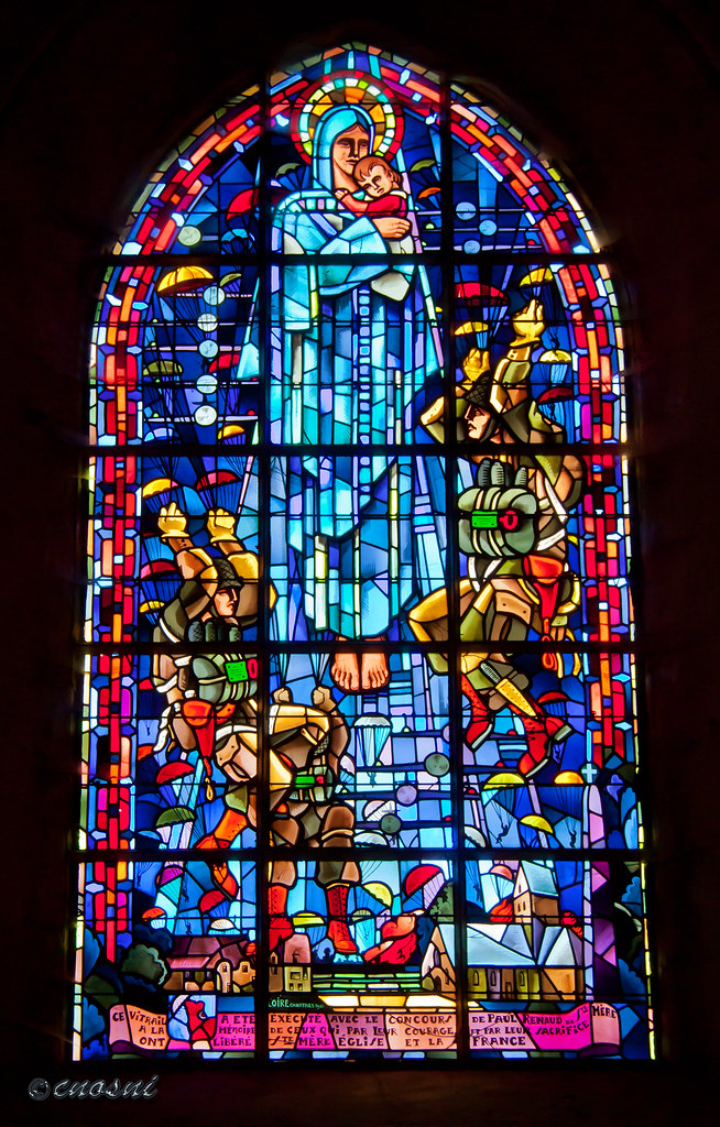
Stain Glass Window,Church of St Mary,St Mere Eglise

Saint Vaast la Hougue
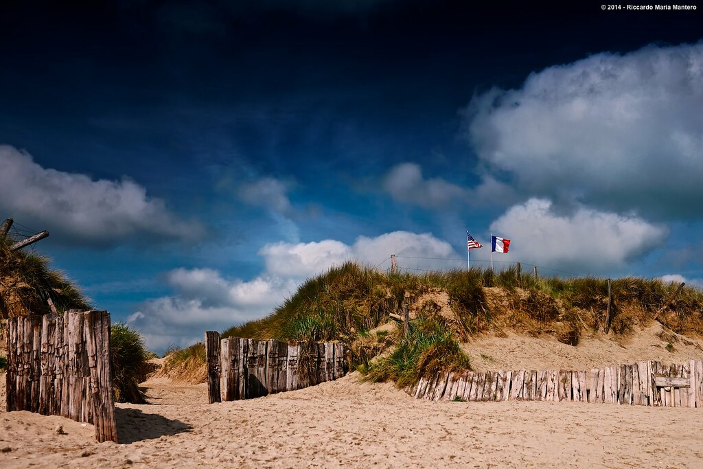
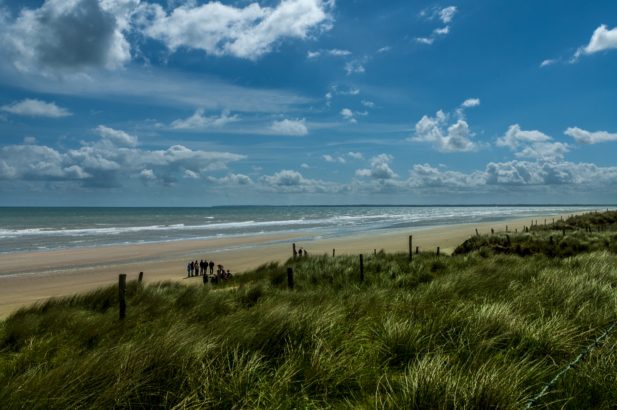
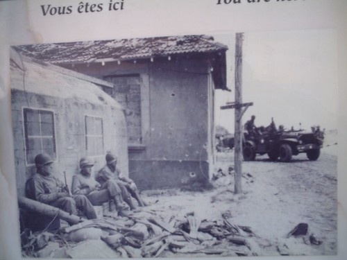
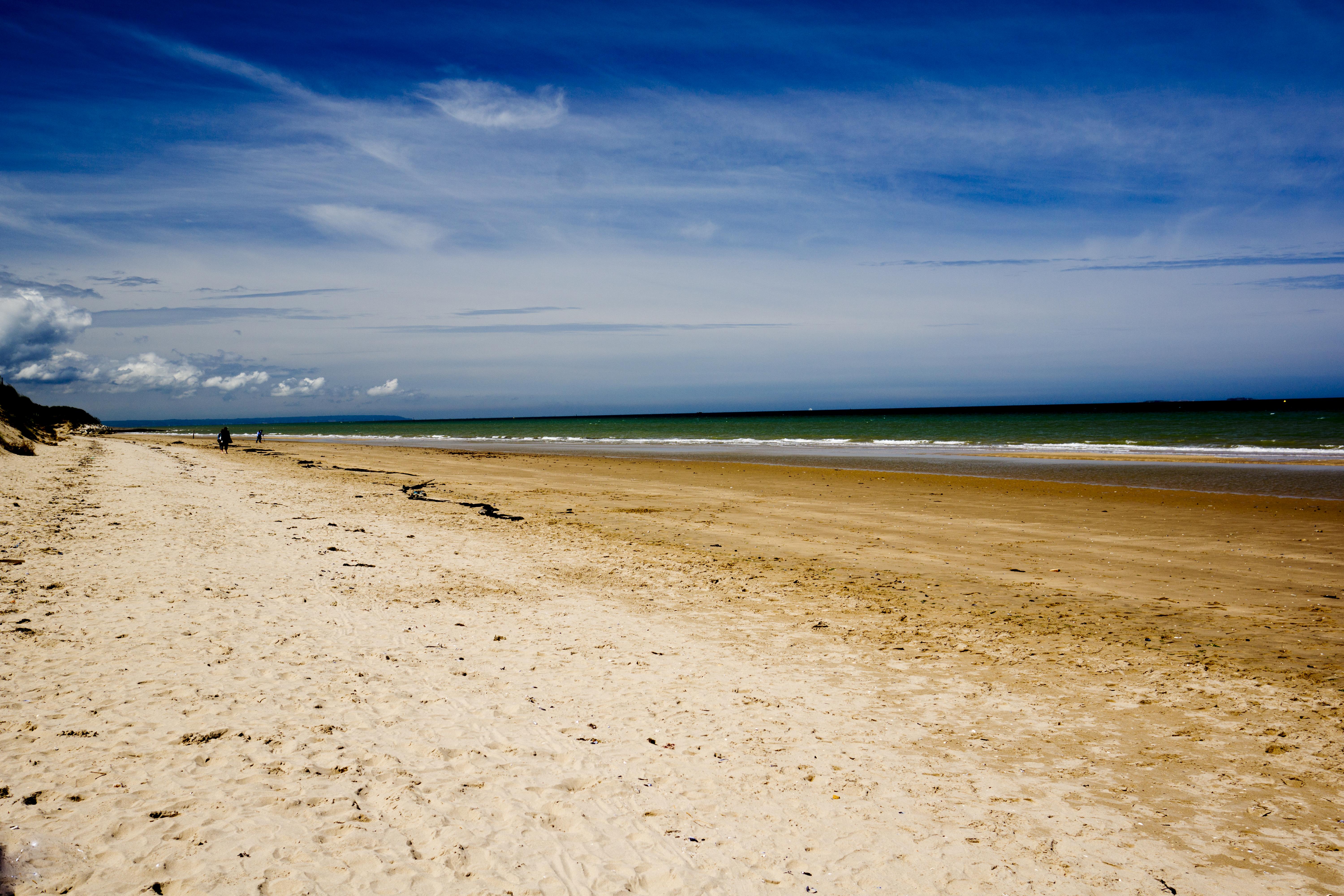
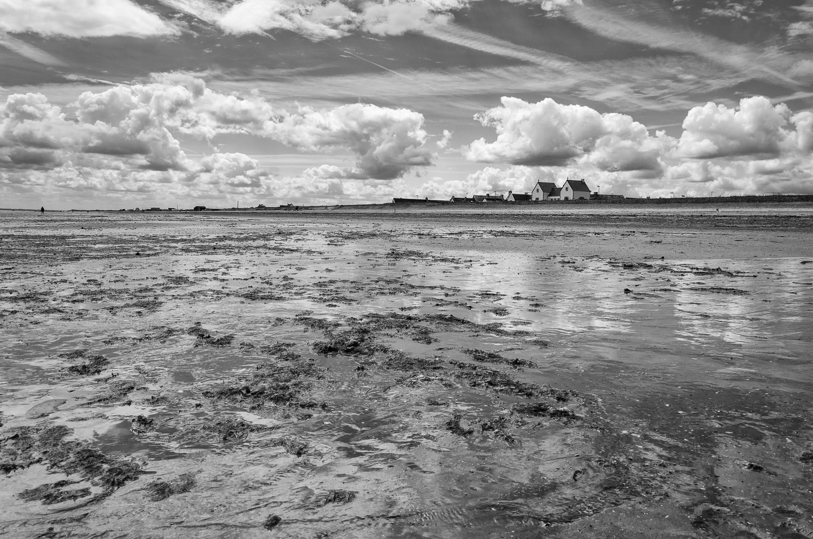
The Beach

Paddling - Utah Beach
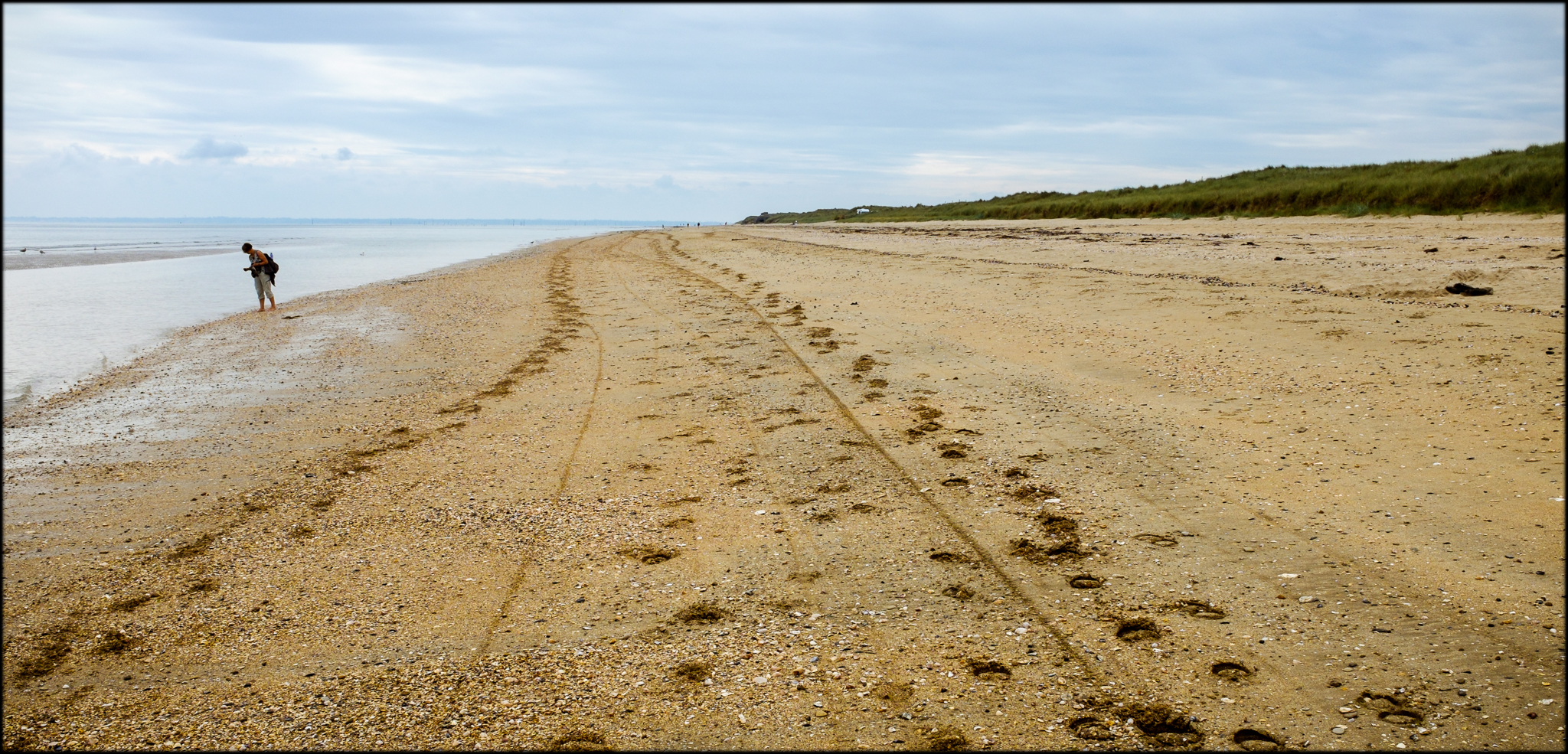
Tracks - Utah Beach
View from the Crisbecq battery (Explored)

Revile Church Normandy viewed from La Pernelle
UtahBeach-055455_Web
A window with a green view
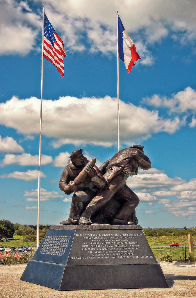
The US Navy Memorial at Utah Beach
Saint Vaast la Hougue

Sainte-Mere-Eglise Paratrooper DDay Landing Site
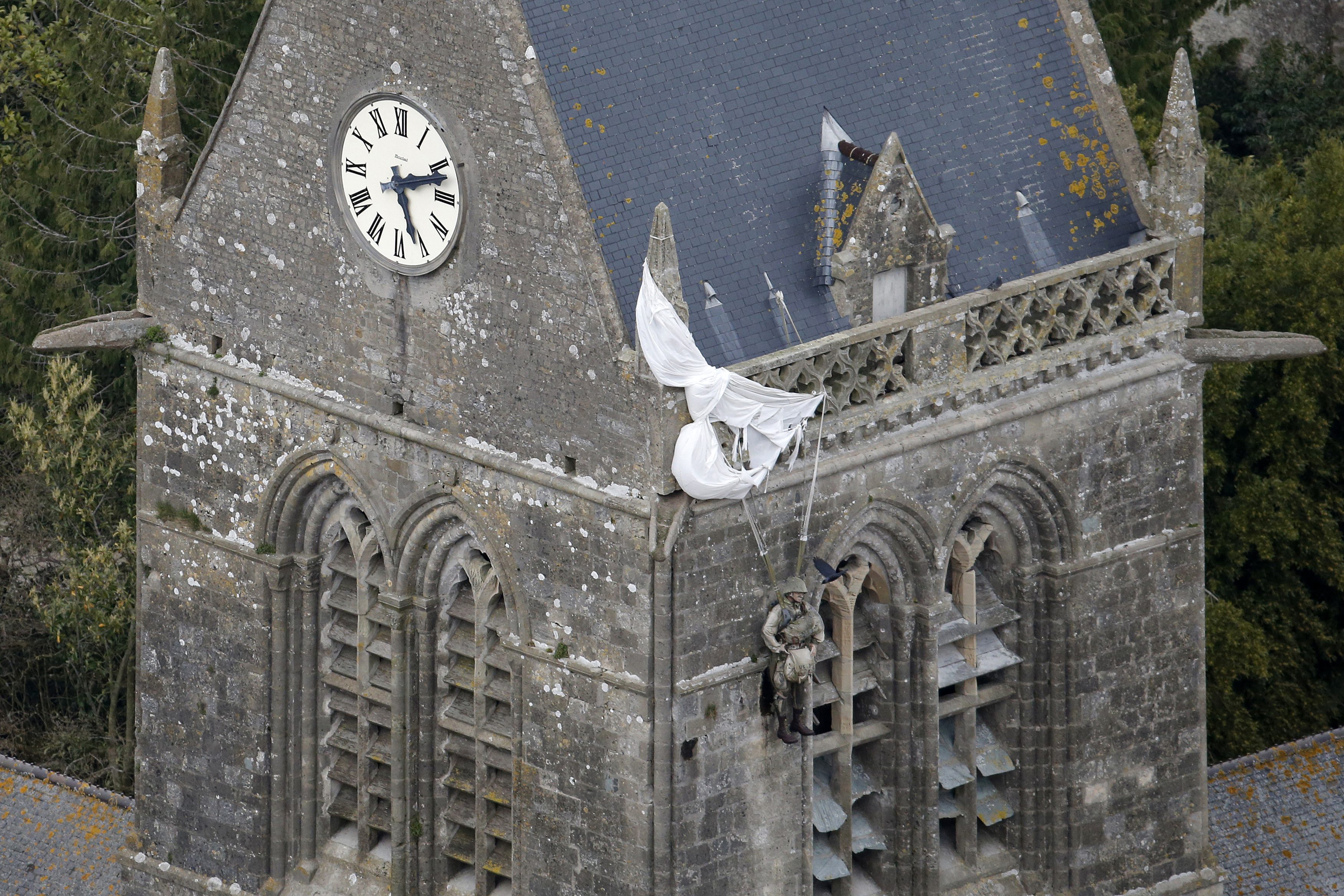
D-DAY - Sainte-Mere-Eglise

Saint Vaast la Hougue
The history of Utah Beach : the restaurant

2009-06-05 165 Sainte-Mère-Église WW2 vehicle Dodge WC-57 view 2

'Utah'

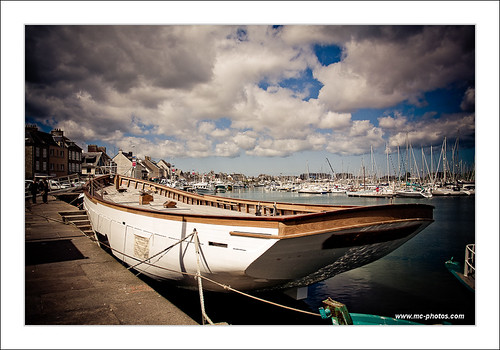
Normandy '10: Saint-Vaast-la-Hougue
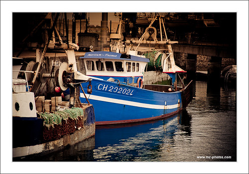
Saint Vaast la Hougue
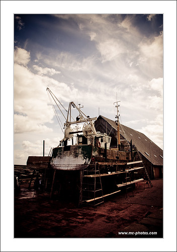
Saint Vaast La Hougue
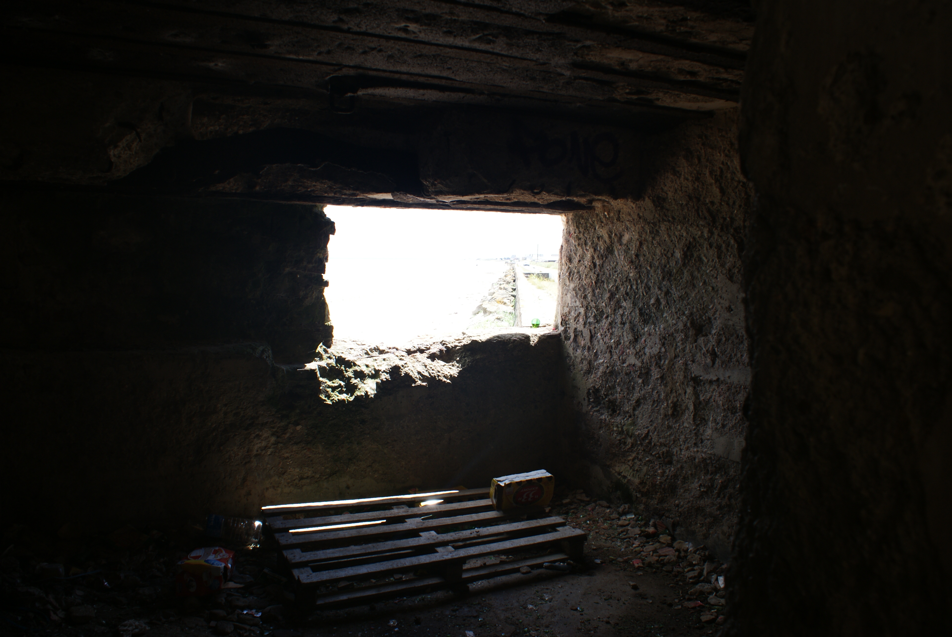
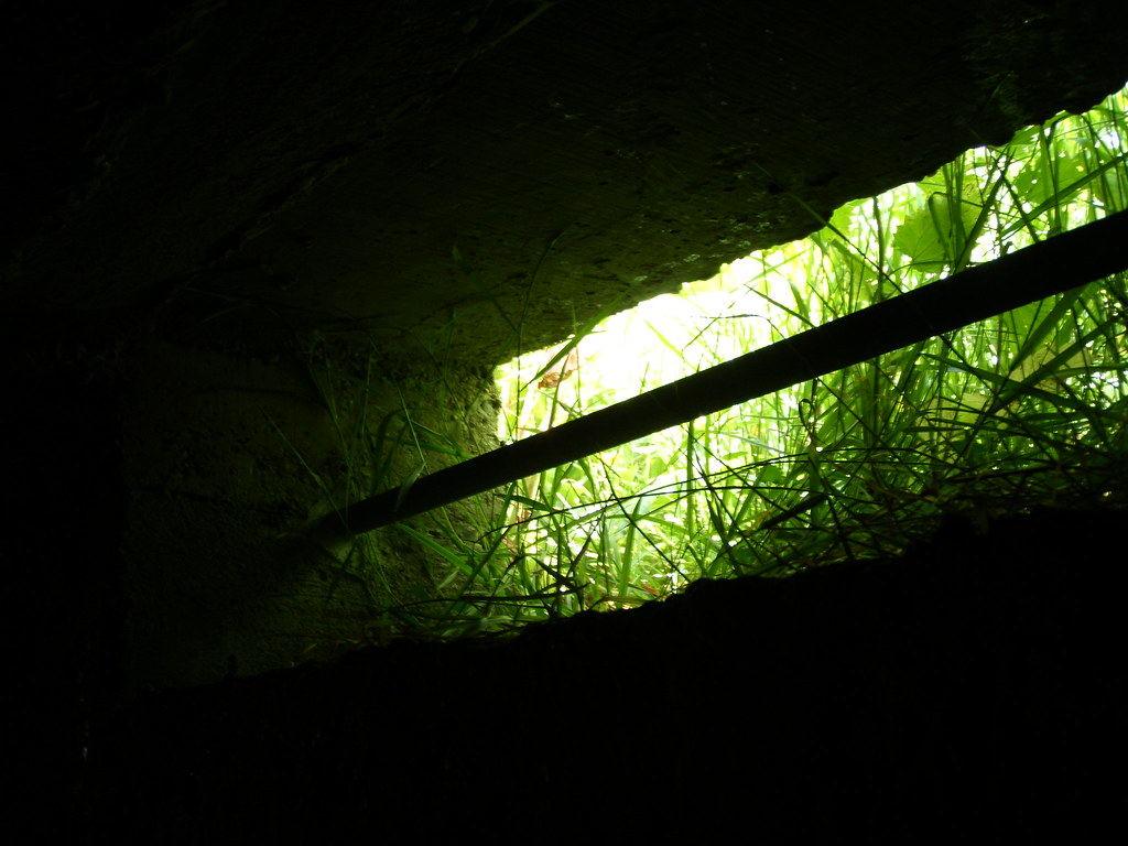
Interior of German Defensive Position on Atlantic Wall

You Over There

Normandy sunset
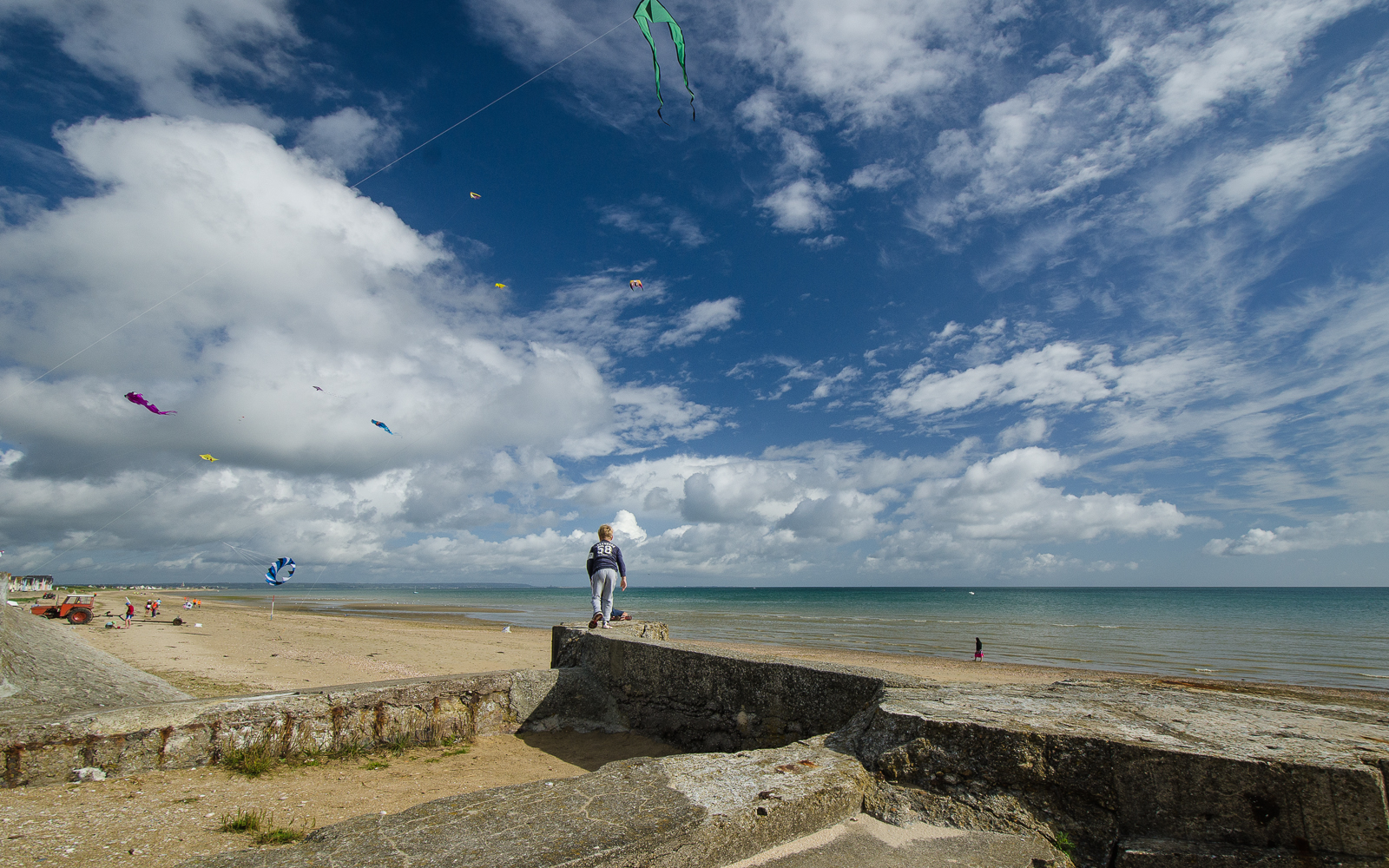
Kites and Me (Explored 2013/5/15)
Shutter Island

Utah beach 6-6-2014
I-Phone #8
Utah Beach

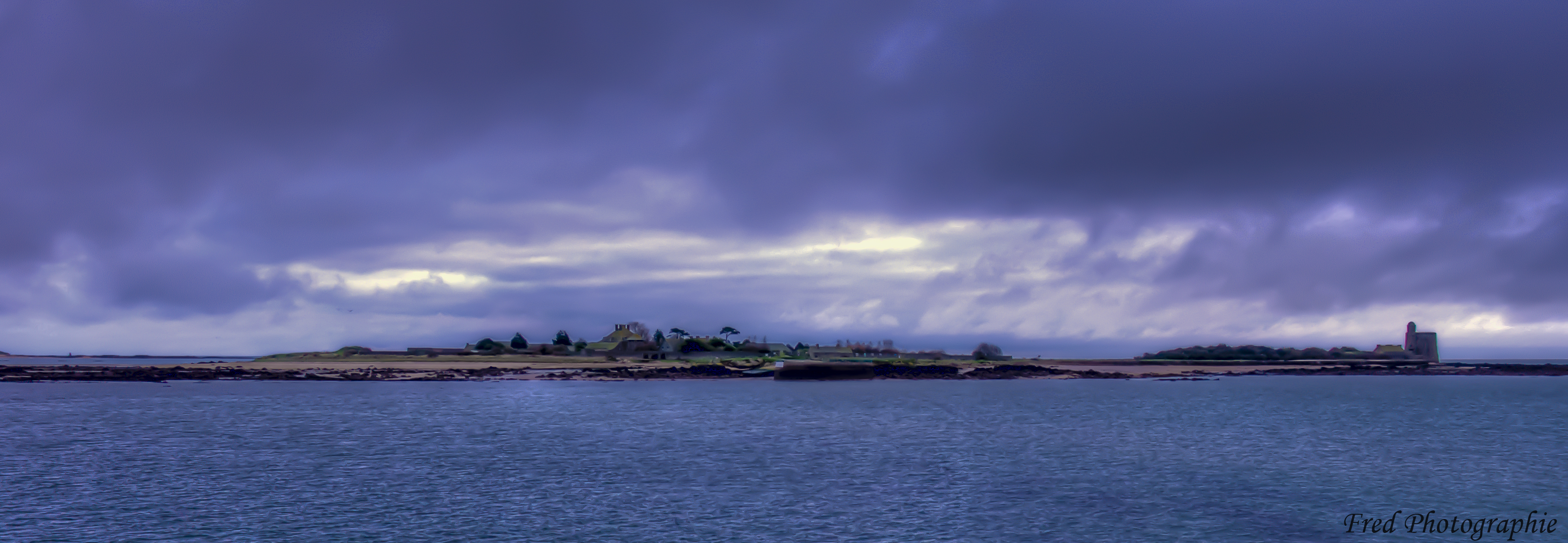
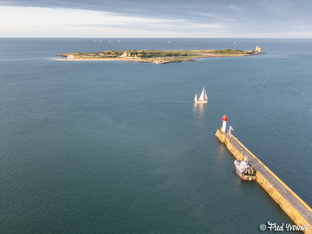
Ile Tatihou
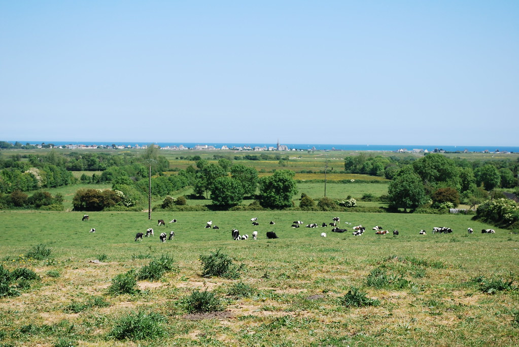
La vie rural deux
La vie rural une

Tatihou côté terre

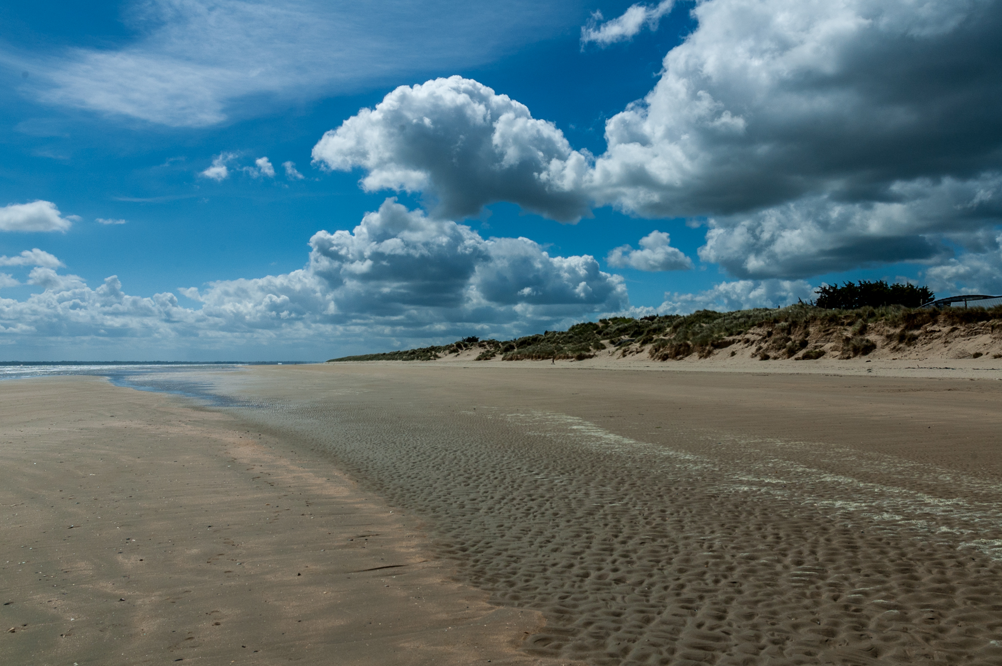
Utah Beach
Yo, mal so am Strand.
Low Tide at Ravenoville Plage
UtahBeach-060527_Web

The Crisbecq battery
Ile Tatihou

Anse du Cul de Loup depuis Morsalines (50)
Topographic Map of 1 Hameau des Renaults, Lestre, France
Find elevation by address:

Places near 1 Hameau des Renaults, Lestre, France:
Lestre
Saint-floxel
9 Vierge de l'Église, Saint-Floxel, France
Vaudreville
20 Le Filbec, Saint-Martin-d'Audouville, France
26 Hameau de l'Église, Emondeville, France
Émondeville
Réville
13 Rue Général de Gaulle, Reville, France
Sainte-mère-Église
11 Rue Général Koenig
45 Rue Général de Gaulle, Sainte-Mère-Église, France
Amfreville
15 Rue des Helpiquets, Amfreville, France
7 Rue de Roville, Gatteville-le-Phare, France
24 Rue de l'Église, Varouville, France
Gatteville-le-phare
Varouville
Picauville
16 Rue des Tilleuls, Picauville, France
Recent Searches:
- Elevation of 72-31 Metropolitan Ave, Middle Village, NY, USA
- Elevation of 76 Metropolitan Ave, Brooklyn, NY, USA
- Elevation of Alisal Rd, Solvang, CA, USA
- Elevation of Vista Blvd, Sparks, NV, USA
- Elevation of 15th Ave SE, St. Petersburg, FL, USA
- Elevation of Beall Road, Beall Rd, Florida, USA
- Elevation of Leguwa, Nepal
- Elevation of County Rd, Enterprise, AL, USA
- Elevation of Kolchuginsky District, Vladimir Oblast, Russia
- Elevation of Shustino, Vladimir Oblast, Russia