Elevation of 13 Rue Général de Gaulle, Reville, France
Location: France > Normandy > Manche > Réville >
Longitude: -1.2597421
Latitude: 49.6199138
Elevation: 7m / 23feet
Barometric Pressure: 101KPa
Elevation Map:
Satellite Map:
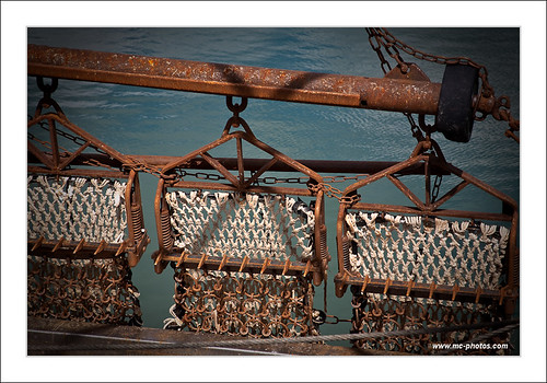
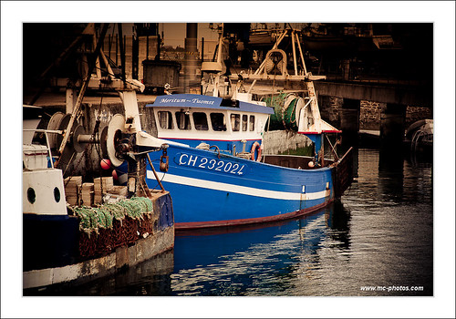
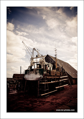
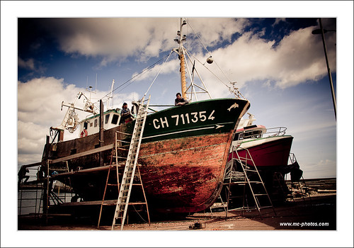
Related Photos:

Come gabbiani senza ali
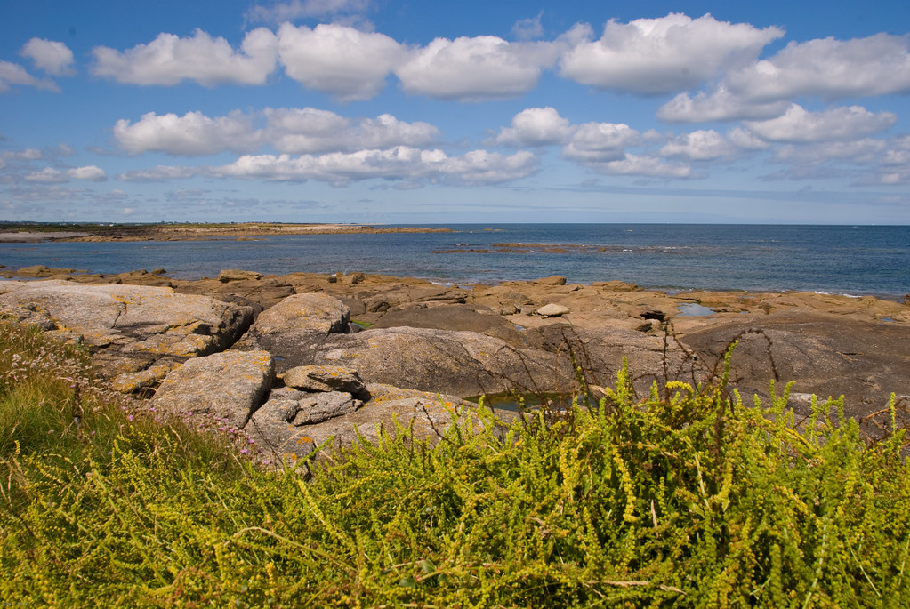
View from the Crisbecq battery (Explored)
gaufres, crêpes

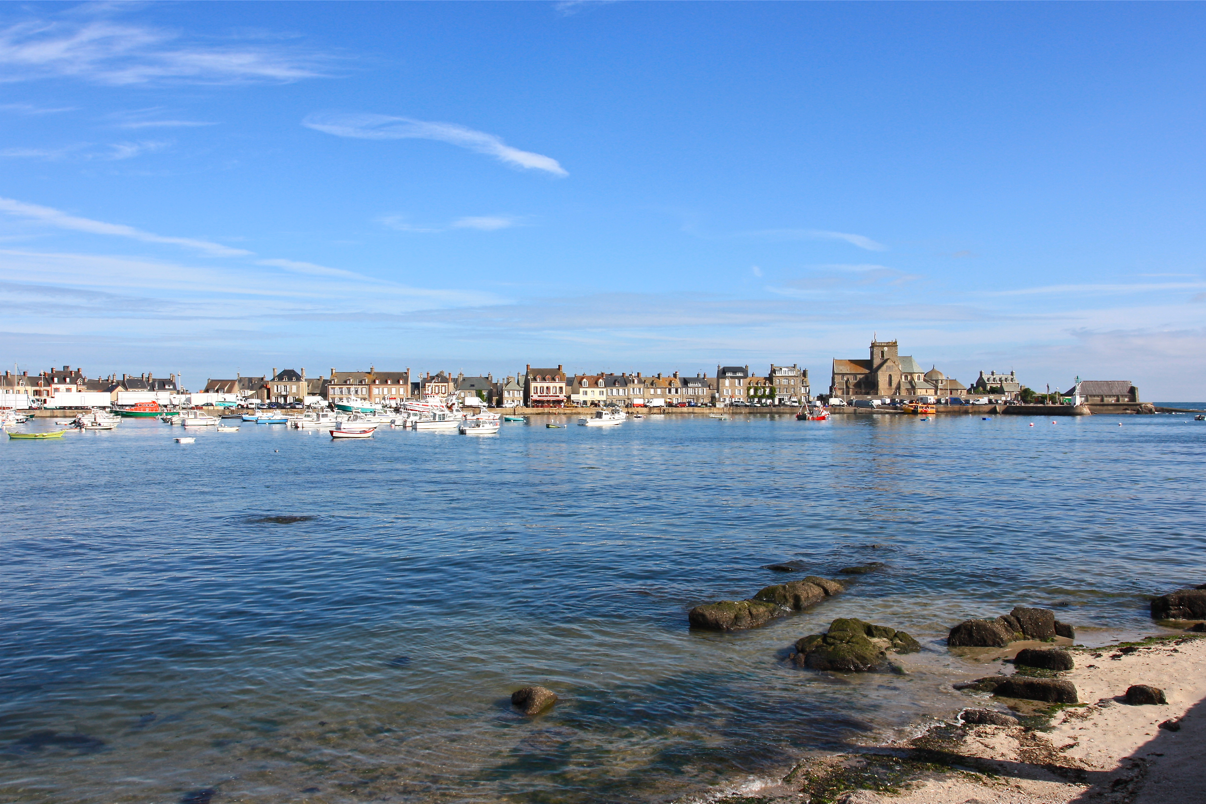
Normandy '10: Saint-Vaast-la-Hougue
Up the lighthouse
View from the lighthouse

Gatteville lighthouse, low point of view.
Normandie - Le phare

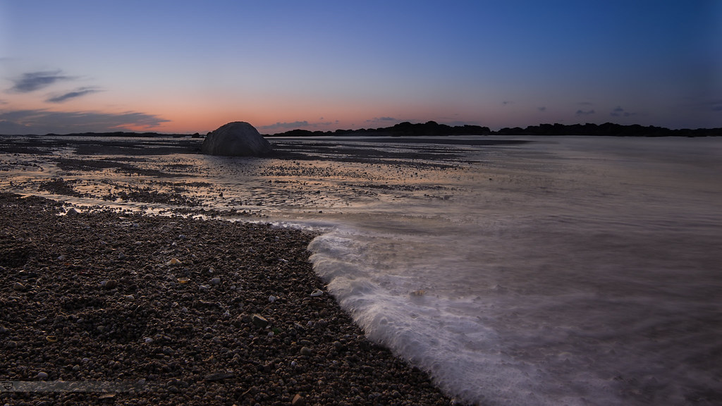
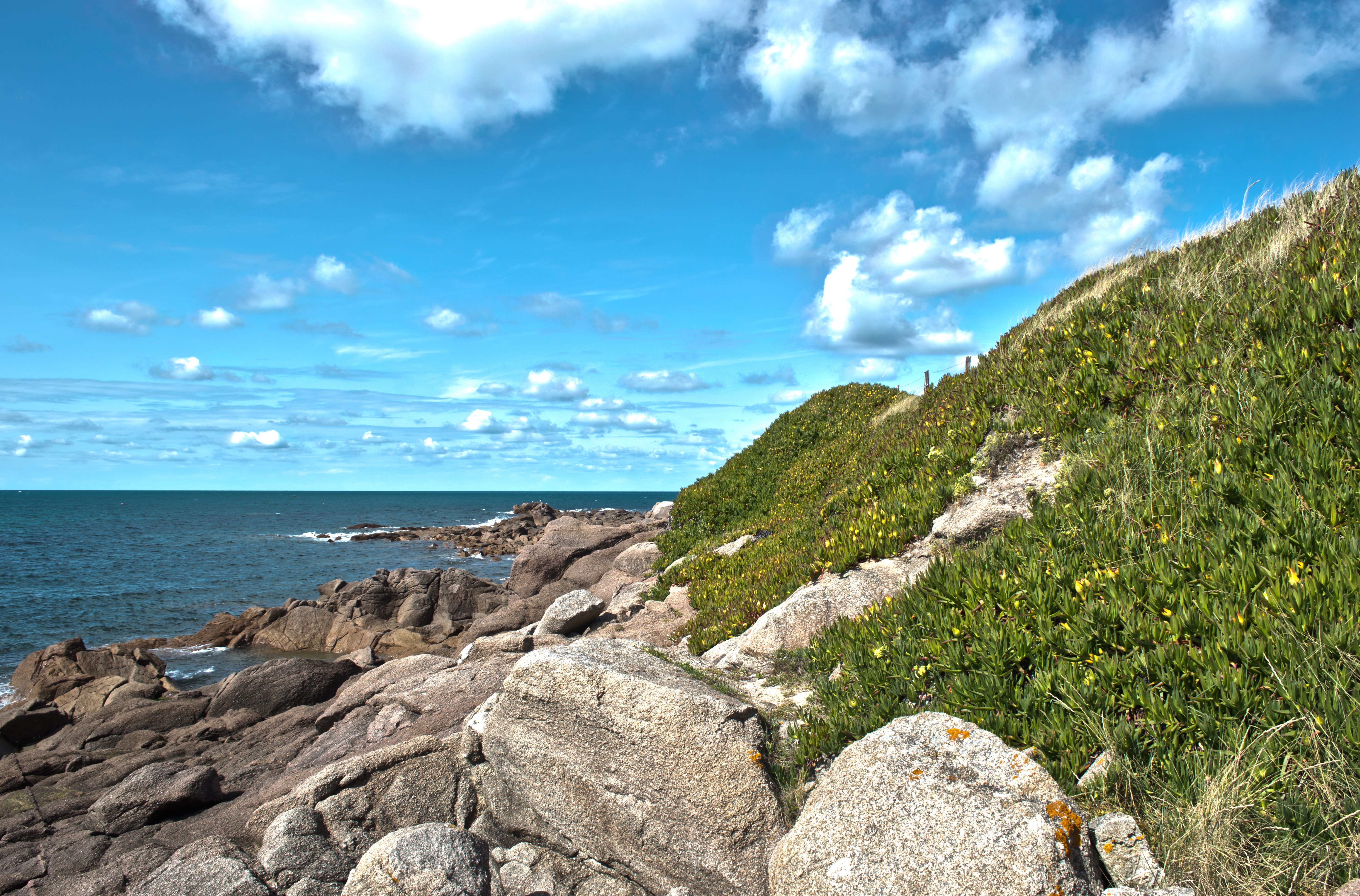
Ocean view
Revile Church Normandy viewed from La Pernelle

View from Gatteville lighthouse - Normandy
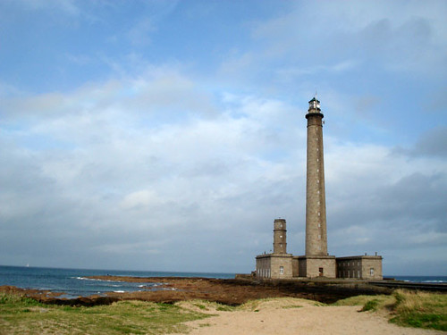
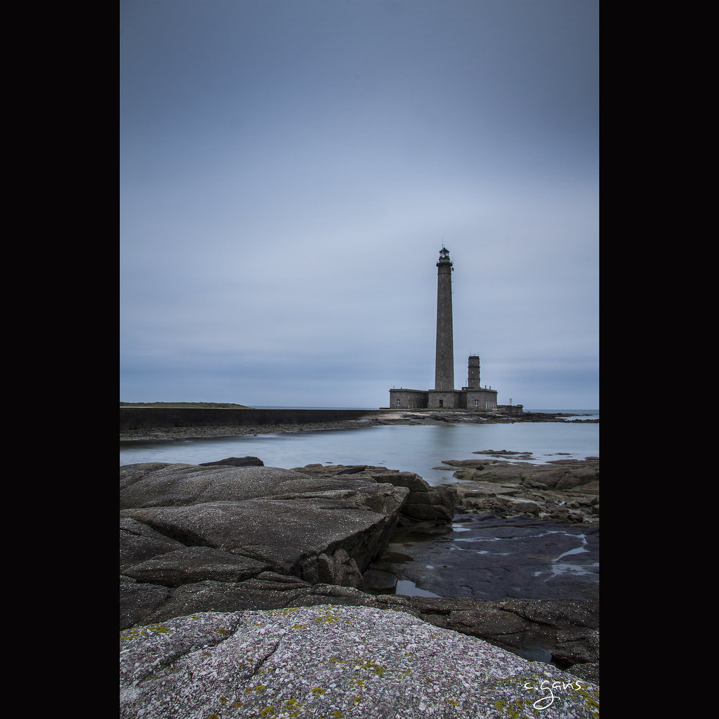
phare de Gatteville
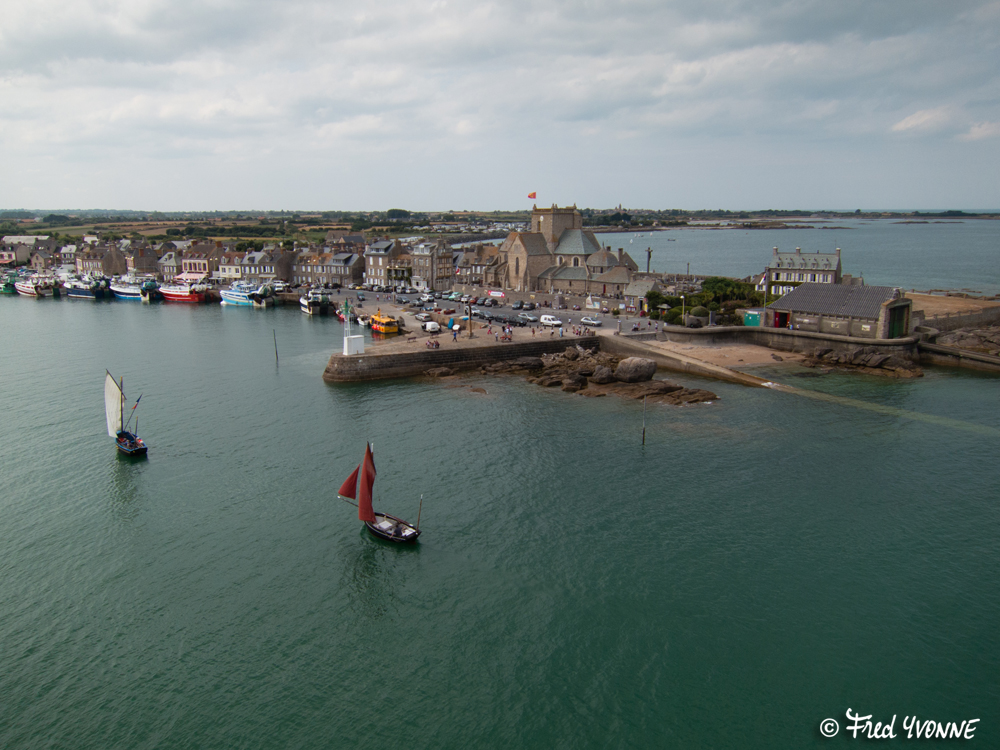
Saint Vaast la Hougue
Saint Vaast la Hougue
Saint Vaast la Hougue

Rear view
Saint Vaast La Hougue
Saint Vaast la Hougue
Costa a Gatteville
June 19, 2011
Faro di Gatteville
Shutter Island
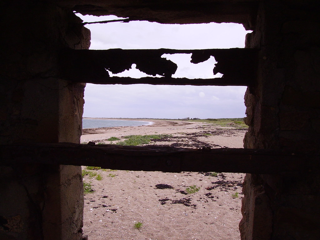
| Plage du Vicq |

The Crisbecq battery
Barfleur - Normandie - France
Dernières lueurs sur l'île
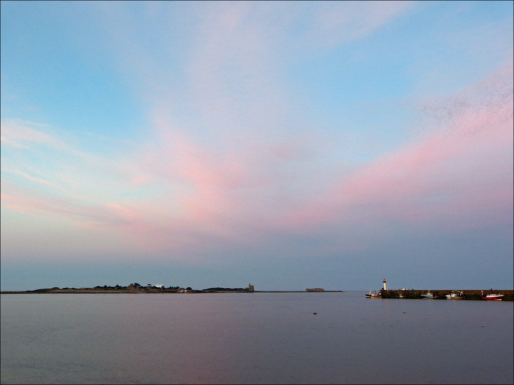
Port de Barfleur (50)
Panorama depuis le sommet du phare de Gatteville

Basic Colors (explored 2013/5/13)

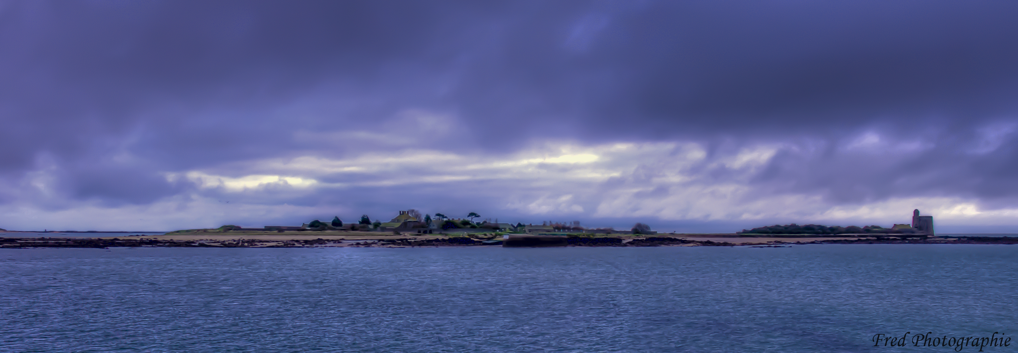
Ile Tatihou
La vie rural deux
La vie rural une

Tatihou côté terre

evening seascape
Gatteville-le-phare
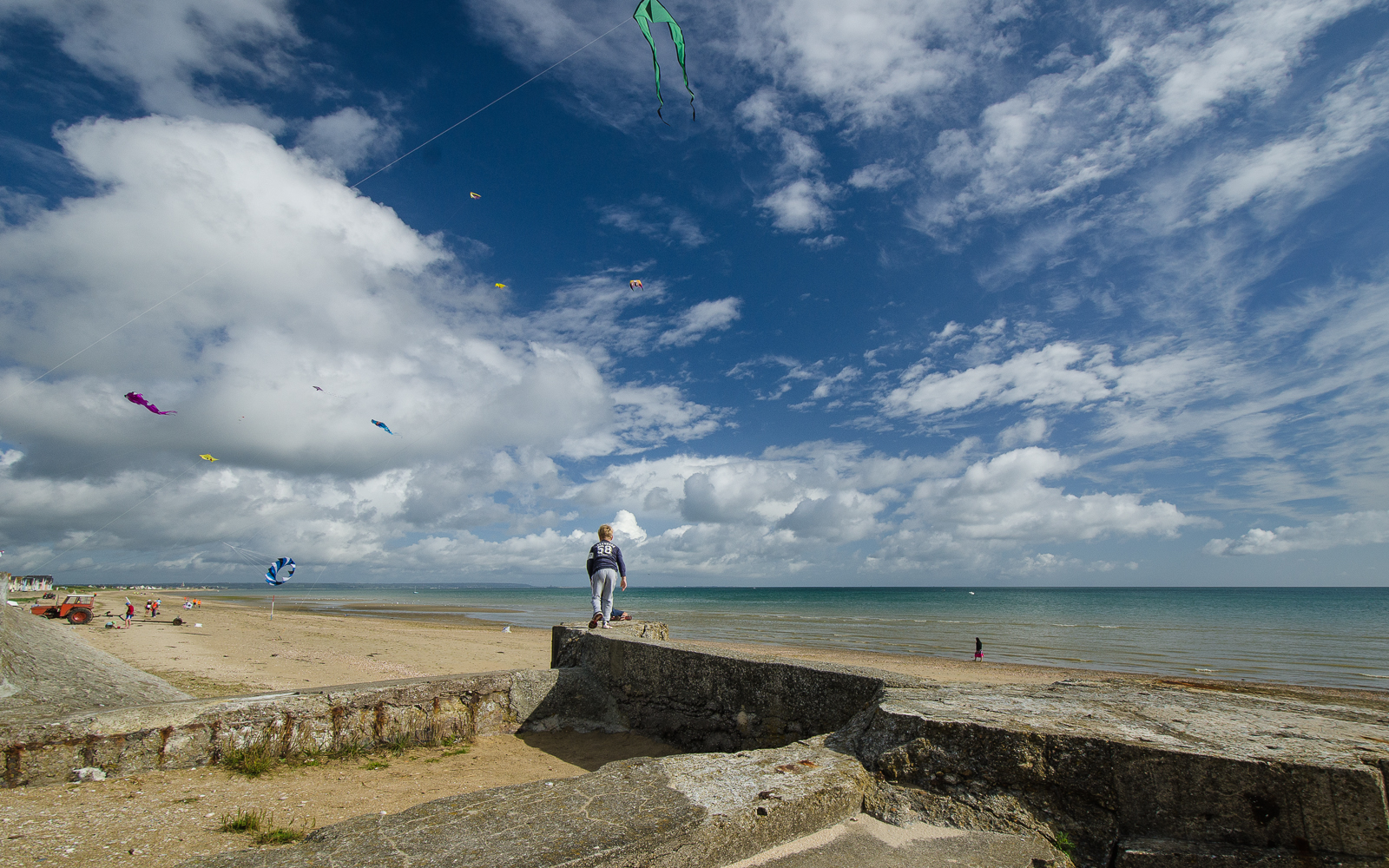
Kites and Me (Explored 2013/5/15)
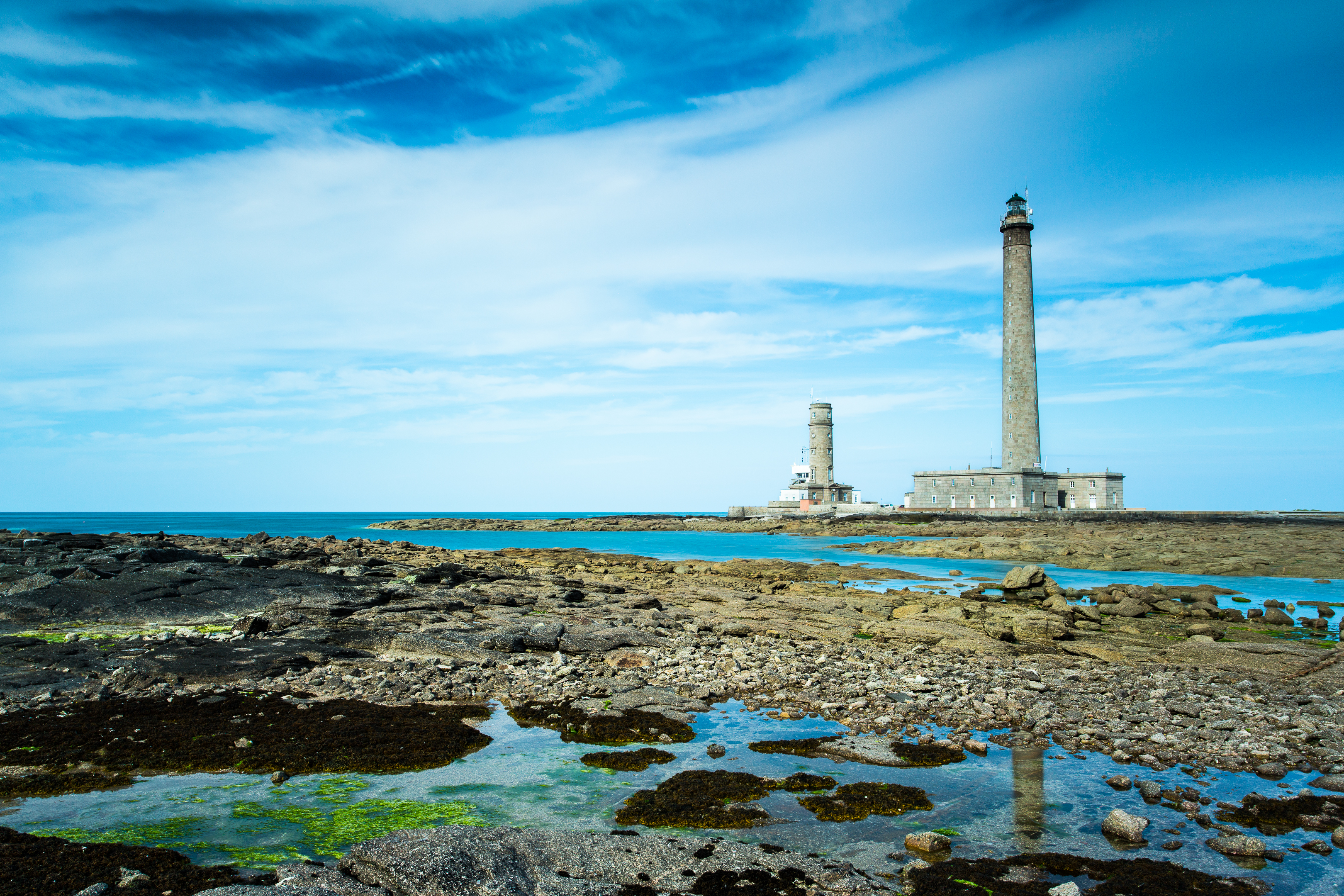
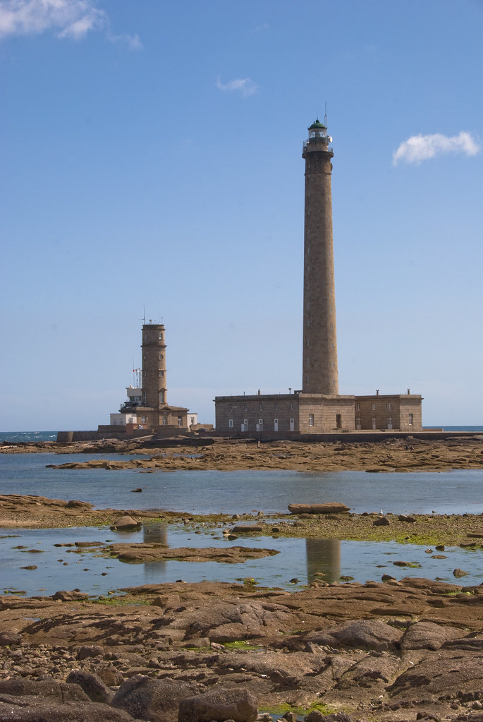
Phare de Gatteville
Yo, mal so am Strand.
Gatteville - Vagues
Anse de la Visière

Barfleur.
Topographic Map of 13 Rue Général de Gaulle, Reville, France
Find elevation by address:

Places near 13 Rue Général de Gaulle, Reville, France:
Réville
Gatteville-le-phare
7 Rue de Roville, Gatteville-le-Phare, France
1 Hameau des Renaults, Lestre, France
Lestre
24 Rue de l'Église, Varouville, France
Varouville
Vaudreville
20 Le Filbec, Saint-Martin-d'Audouville, France
Saint-floxel
9 Vierge de l'Église, Saint-Floxel, France
26 Hameau de l'Église, Emondeville, France
Émondeville
Sainte-mère-Église
11 Rue Général Koenig
45 Rue Général de Gaulle, Sainte-Mère-Église, France
Amfreville
15 Rue des Helpiquets, Amfreville, France
8 Rue des Planeurs, Angoville-au-Plain, France
Angoville-au-plain
Recent Searches:
- Elevation of Redondo Ave, Long Beach, CA, USA
- Elevation of Sadovaya Ulitsa, 20, Rezh, Sverdlovskaya oblast', Russia
- Elevation of Ulitsa Kalinina, 79, Rezh, Sverdlovskaya oblast', Russia
- Elevation of 72-31 Metropolitan Ave, Middle Village, NY, USA
- Elevation of 76 Metropolitan Ave, Brooklyn, NY, USA
- Elevation of Alisal Rd, Solvang, CA, USA
- Elevation of Vista Blvd, Sparks, NV, USA
- Elevation of 15th Ave SE, St. Petersburg, FL, USA
- Elevation of Beall Road, Beall Rd, Florida, USA
- Elevation of Leguwa, Nepal