Elevation of 1 Green Lane, Cornhill-on-Tweed TD12 4UN, UK
Location: United Kingdom > England > Northumberland >
Longitude: -2.2080392
Latitude: 55.6530225
Elevation: 73m / 240feet
Barometric Pressure: 100KPa
Elevation Map:
Satellite Map:
Related Photos:

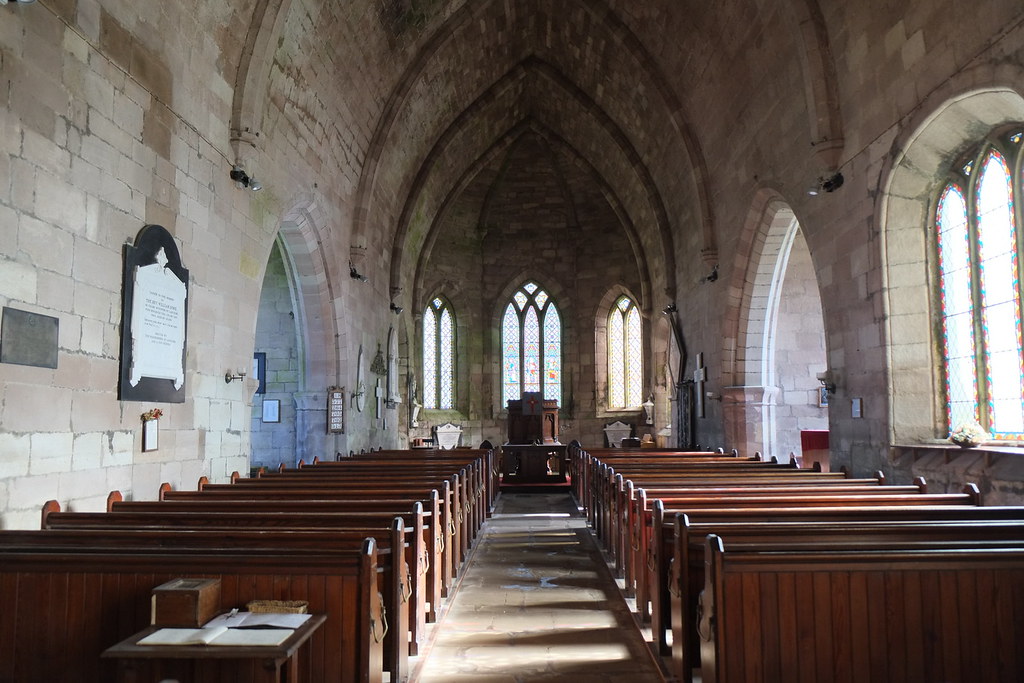
St Michael & All Angels Church. Ford Village
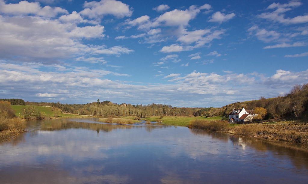
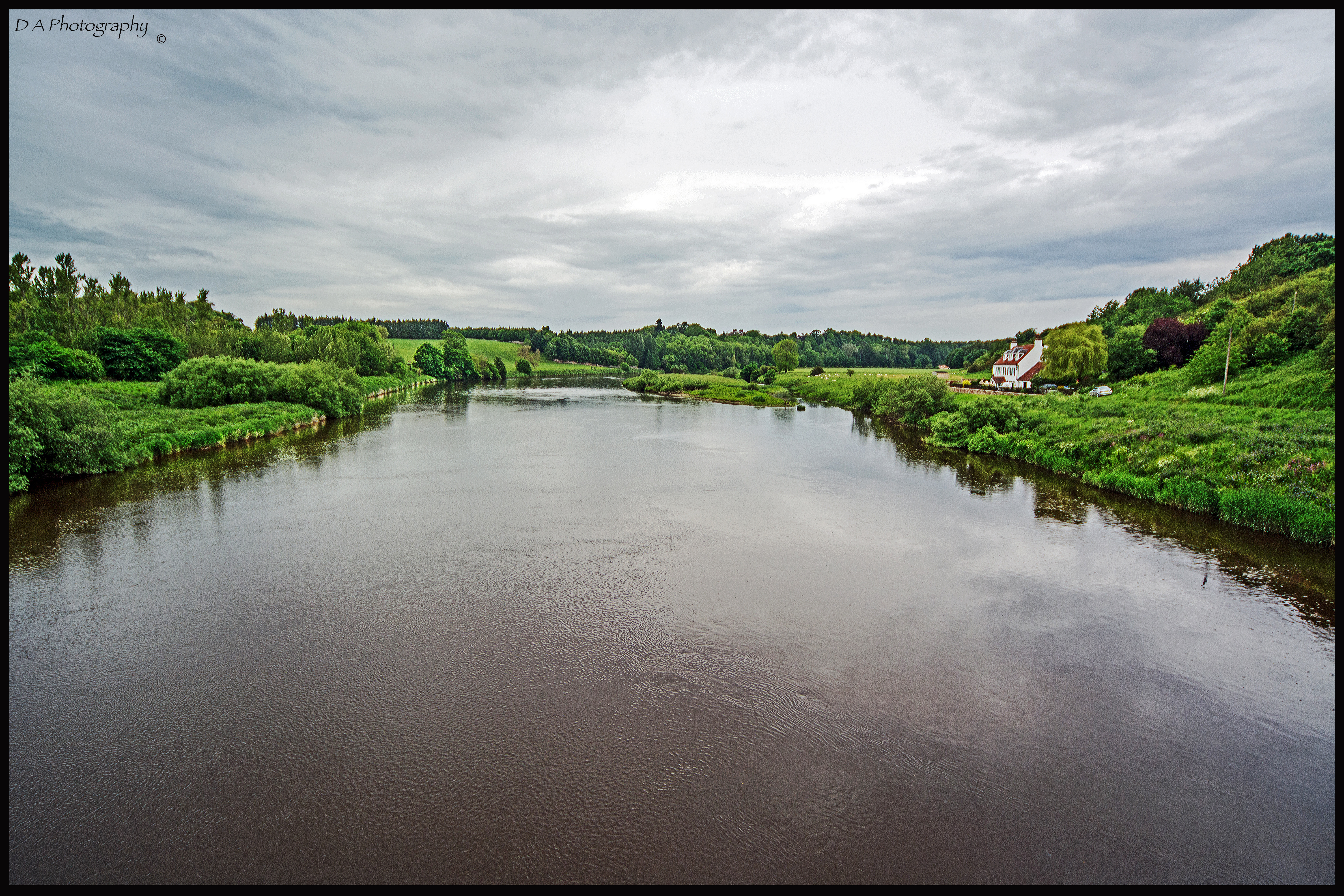
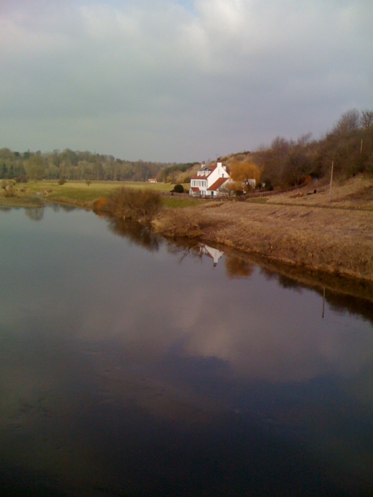
Paxton House and the River Tweed from Union Bridge
View to South of Coldstream

Duddo Standing Stones
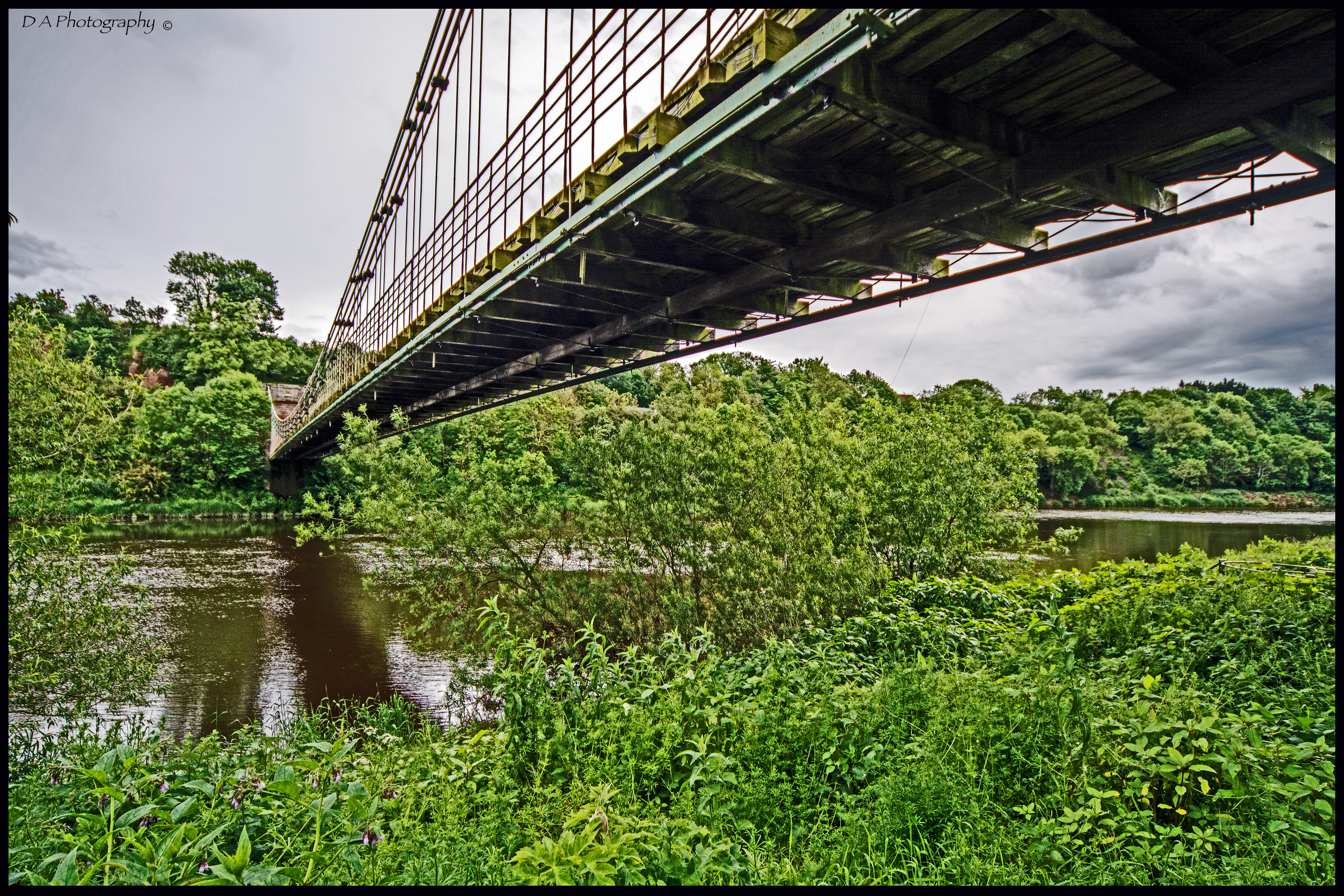
View under Chain Bridge, looking East from Scottish Borders
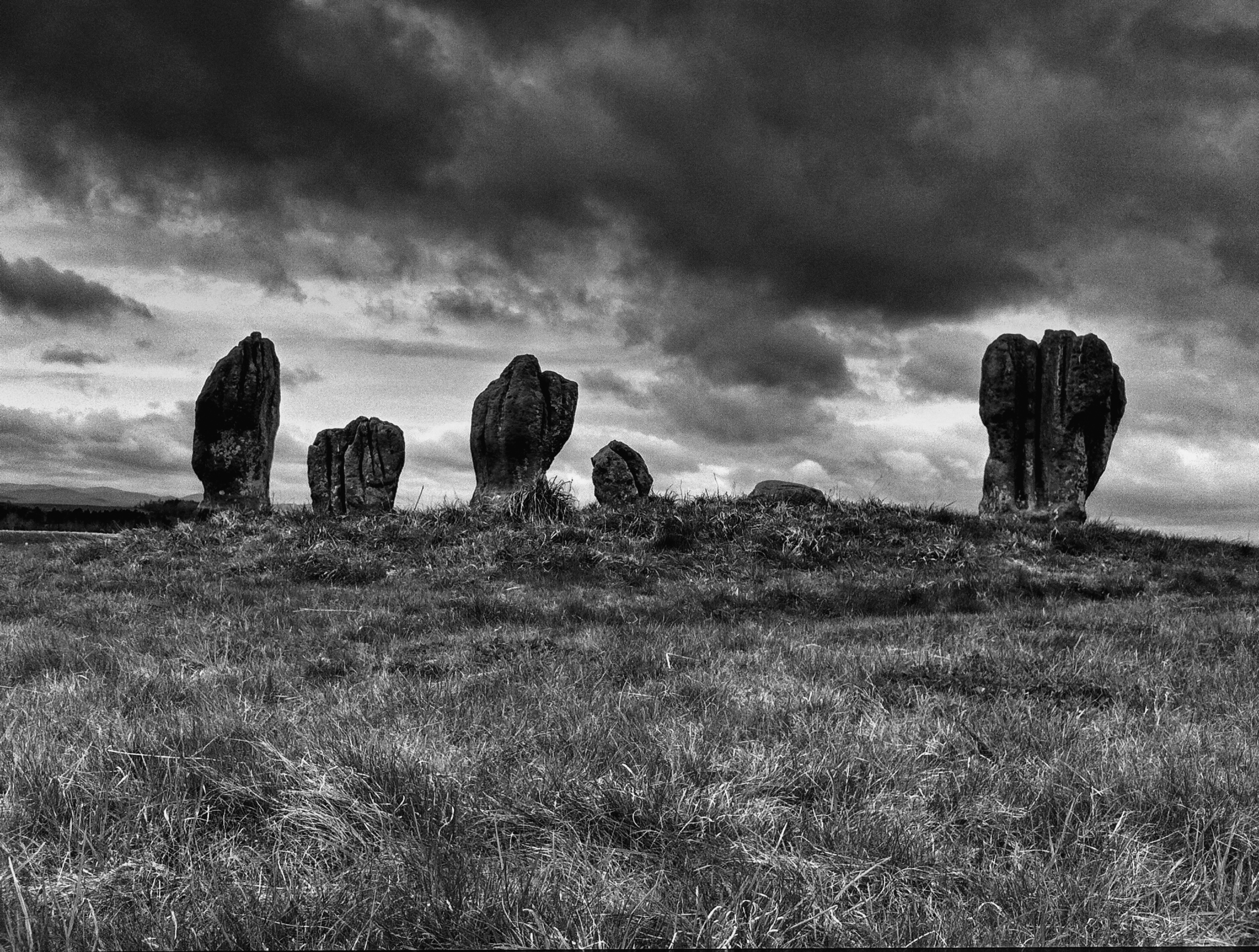
Duddo Stone Circle
View from Chain Bridge, looking East

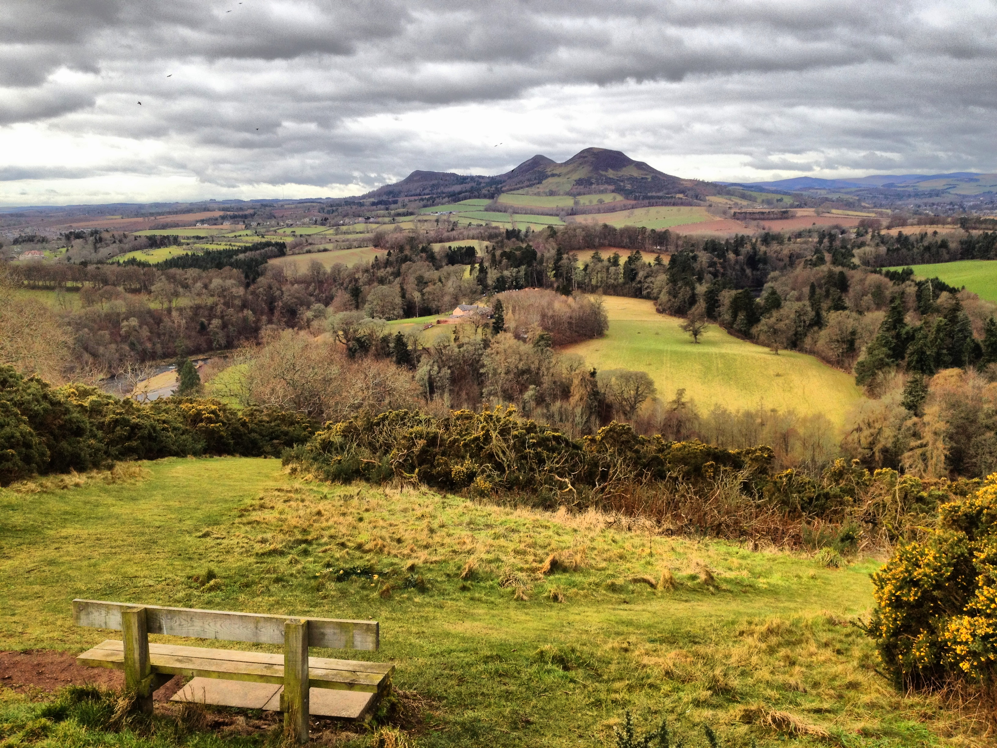
View east from Yetholm Law

Cheviot View
September 13 Borders (47)
View from above
Ladykirk Church (3)

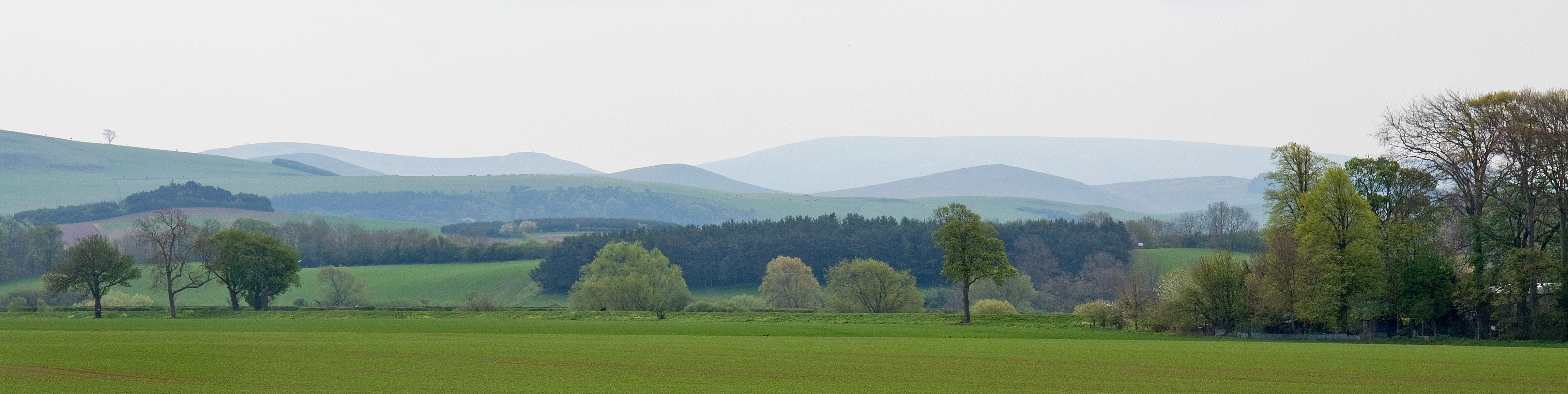
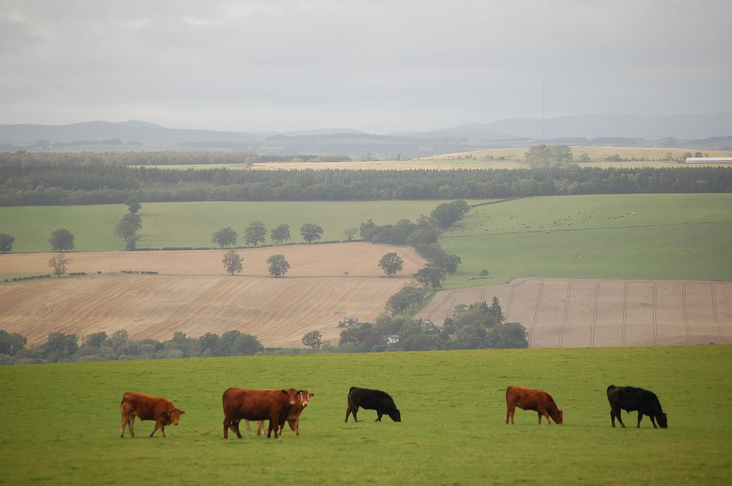
Views of the Cheviots
Tweed View

Wooler Camping

Venchin Hill View
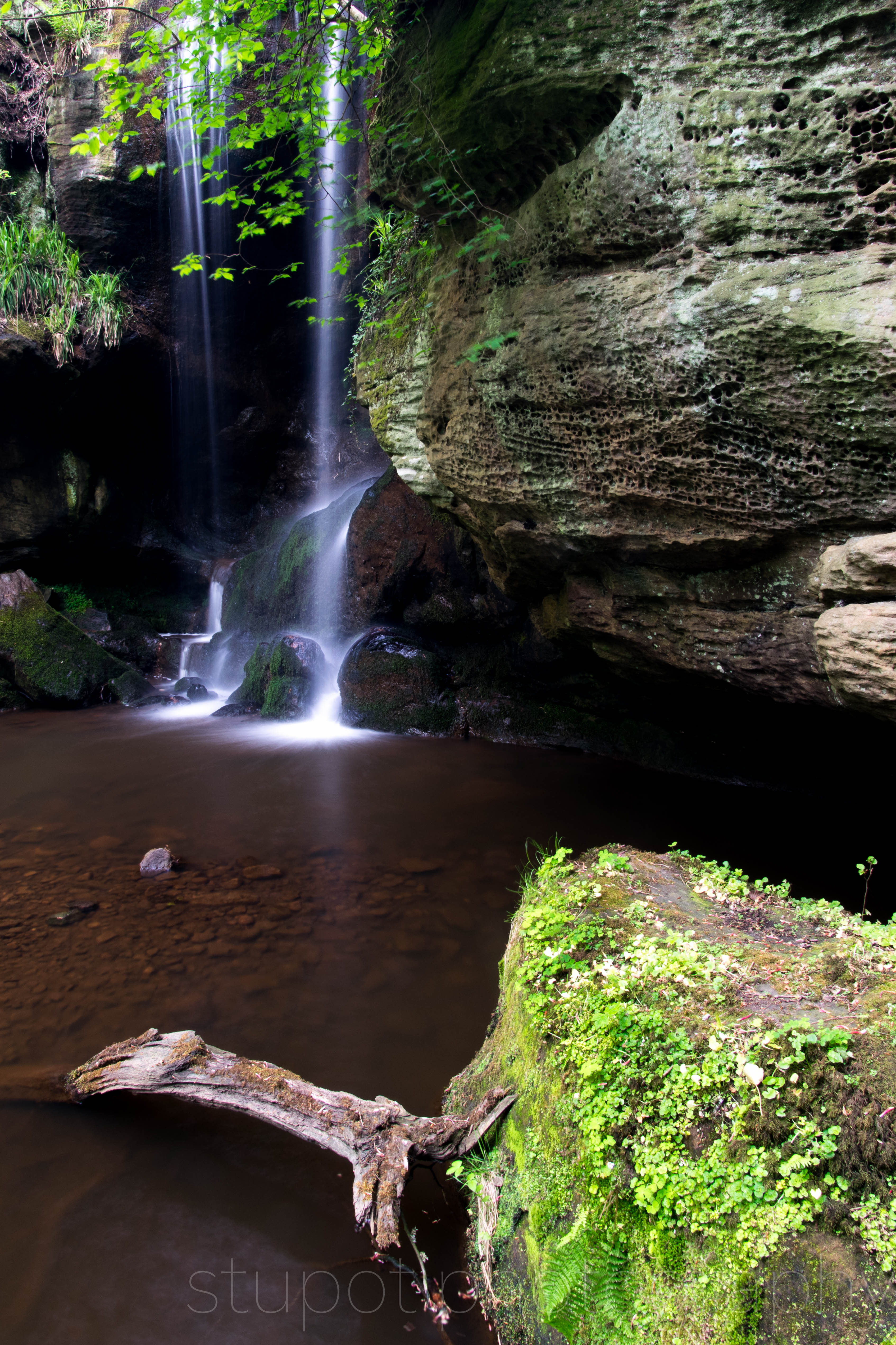
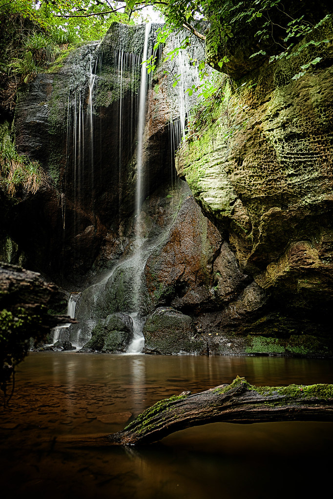
Secret Waterfall

Duddo Standing Stones

View from Kelso Bridge

Wooler Camping
September 13 Borders (48)

Roughting heron
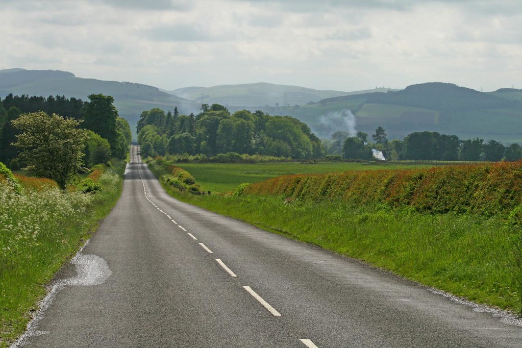
Landscape from Scotland

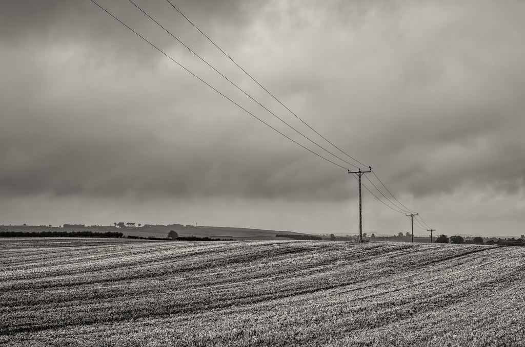
Parallel Lines
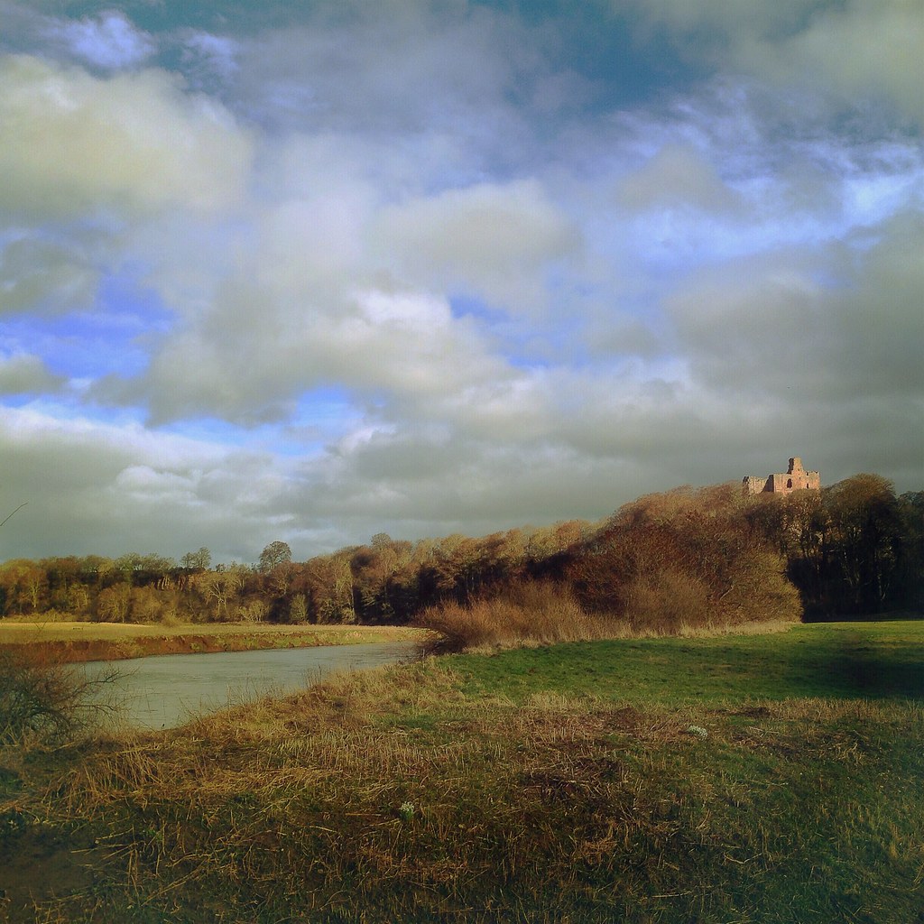
Norham Castle from the banks of The Tweed, Northumberland
I Like to go a Roman

Cheviots in December

Waterfall Light
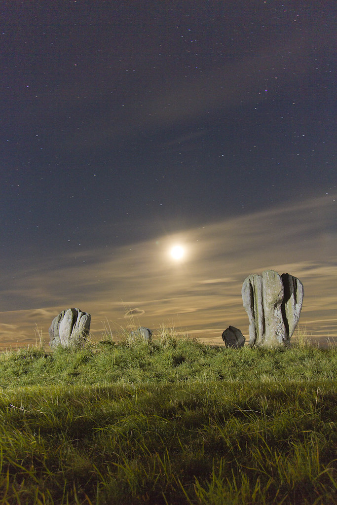
Duddo moon

Tonight's Aurora!

Time Will Always Pass
Roughting Lynn
northumberland-2-160914

. . . two nations marry like runaways

Cheviot colours

On Easter Tor

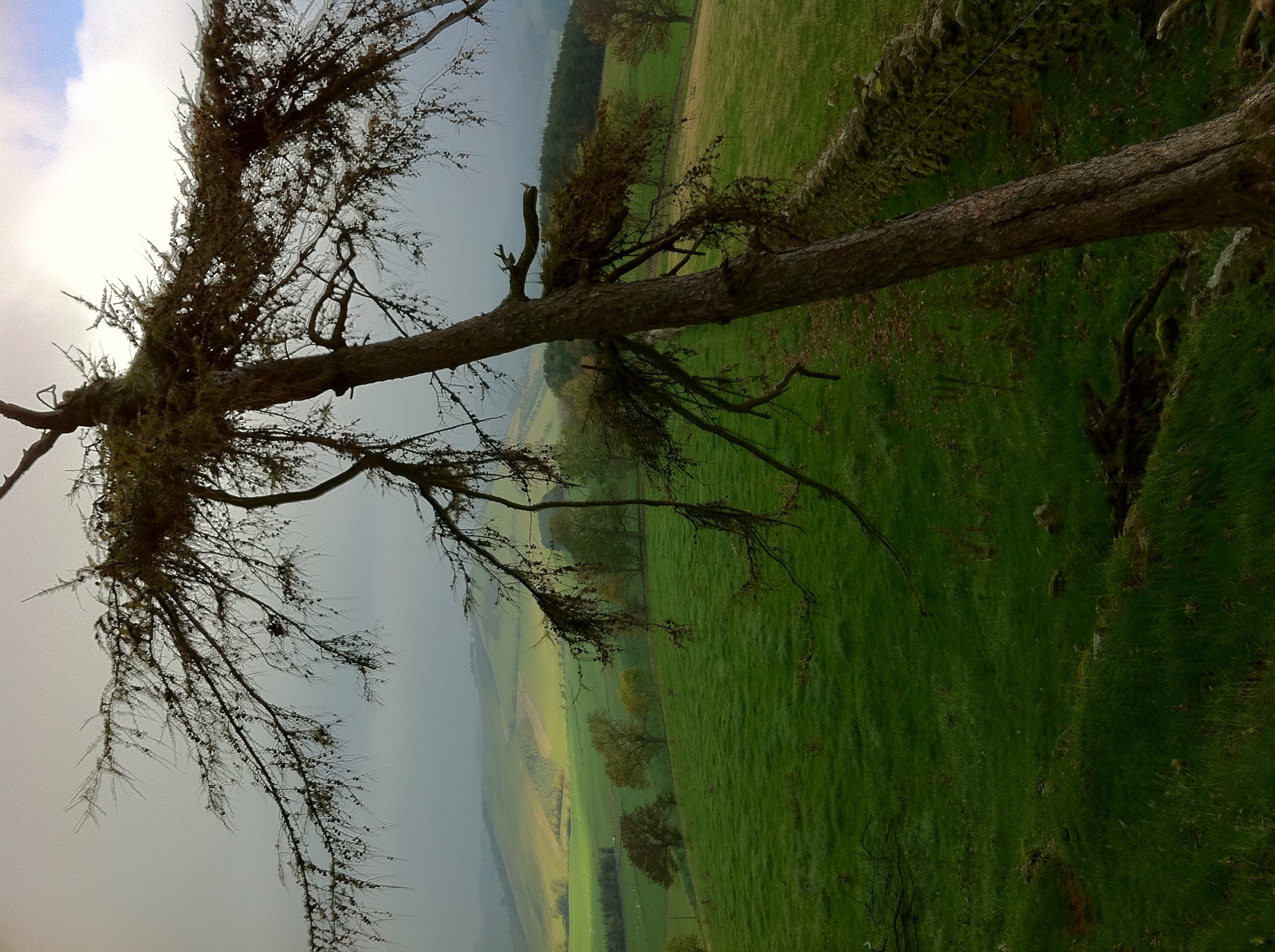
Tree Trees

Fall and Light

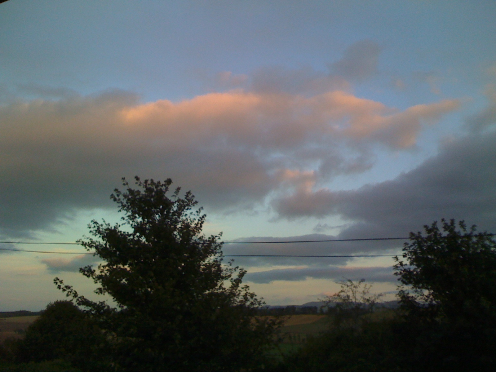
Cheviot sky
Looking back from climbing up
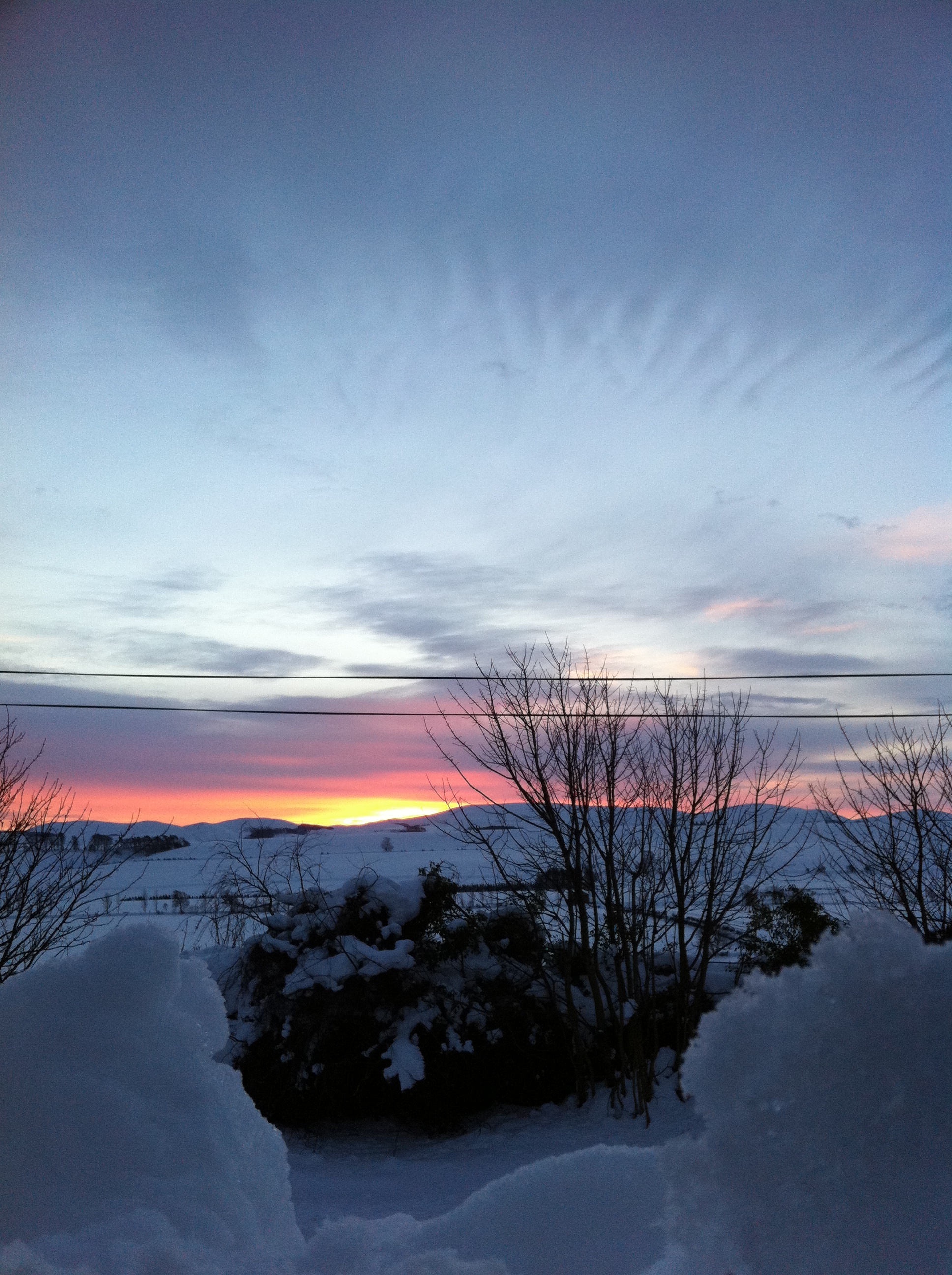
Sunrise with snow
Topographic Map of 1 Green Lane, Cornhill-on-Tweed TD12 4UN, UK
Find elevation by address:

Places near 1 Green Lane, Cornhill-on-Tweed TD12 4UN, UK:
Td12 4aa
Butterlaw Farm Cottage
Crooks Lodge
Swinton
4 Norham West Mains Farm Cottages, Berwick-upon-Tweed TD15 2JY, UK
3 Harcarse Hill, Duns TD11 3HY, UK
3 A, Berwick-upon-Tweed TD15 2LW, UK
2 Wideopen Farm Cottages, Kelso TD5 8DA, UK
3 A, Coldstream TD12 4NQ, UK
1 Steading Cottages, Cherrytrees, Kelso TD5 8BY, UK
4 E Blanerne Farm Cottages, Duns TD11 3LG, UK
2 Ford Wood House Cottages, Berwick-upon-Tweed TD15 2QF, UK
3 Lintlaw Farm Cottages, Duns TD11 3QA, UK
Duns
6 Market Square, Duns TD11 3DB, UK
Woodside Purves Hall
Berwick-upon-tweed
Langleeford
1 Gateshaw Farm Cottages, Kelso TD5 8AH, UK
Broomey Road
Recent Searches:
- Elevation of 15th Ave SE, St. Petersburg, FL, USA
- Elevation of Beall Road, Beall Rd, Florida, USA
- Elevation of Leguwa, Nepal
- Elevation of County Rd, Enterprise, AL, USA
- Elevation of Kolchuginsky District, Vladimir Oblast, Russia
- Elevation of Shustino, Vladimir Oblast, Russia
- Elevation of Lampiasi St, Sarasota, FL, USA
- Elevation of Elwyn Dr, Roanoke Rapids, NC, USA
- Elevation of Congressional Dr, Stevensville, MD, USA
- Elevation of Bellview Rd, McLean, VA, USA