Elevation of 3 Harcarse Hill, Duns TD11 3HY, UK

Location: United Kingdom > Scotland > Scottish Borders > Swinton >

Longitude: -2.2896313

Latitude: 55.7182959

Elevation: 64m / 210feet

Barometric Pressure: 101KPa

Elevation Map:

elevation map of 3 Harcarse Hill, Duns TD11 3HY, UK

Satellite Map:

Satellite map of 3 Harcarse Hill, Duns TD11 3HY, UK

Related Photos:

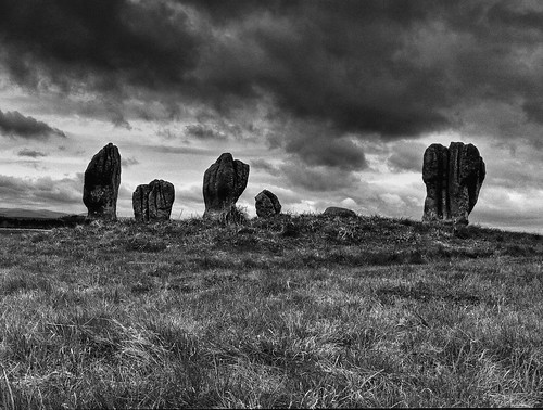
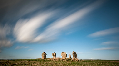
mono zoom northumberland hdr focal duddo picmonkey cjt29
Duddo Standing Stones
bird scotland borders migrant digiscoped muscicapastriata cjt29 mersington
Spotted Flycatcher
battle 1513
View North from Flodden Field Panorama
castle northumberland northeast etal englishheritage etalcastle lumixg1 panasoniclumixg1
A View fit for Nobility
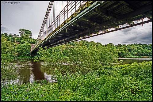
old bridge nature river landscape scotland scenery view natural northumberland suspensionbridge paxton berwickupontweed chainbridge rivertweed unionbridge 1820 scottishborders naturalsettings woodlandwalks captainsamuelbrown
View under Chain Bridge, looking East from Scottish Borders
cameraphone northumberland borders cheviot duddo iphone4
Duddo Stone Circle
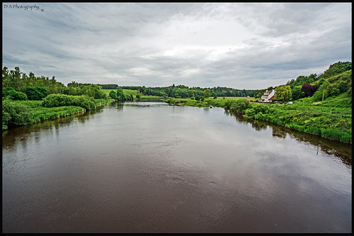
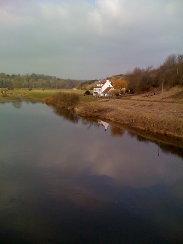
old bridge sky clouds river landscape view northumberland berwickupontweed chainbridge rivertweed scottishborders naturalsettings
View from Chain Bridge, looking East
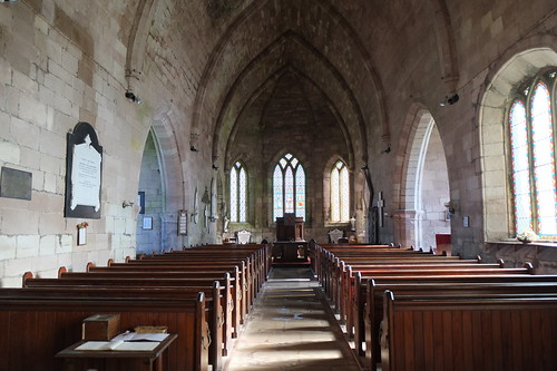
ford estate bell north east northumberland northumbria waterford etal wooler cheviots yeavering flodden deleval heatherslaw rivertill
St Michael & All Angels Church. Ford Village
Foulden View
Foulden View
tonemapped
Cheviot View
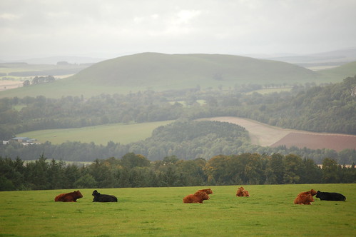
landscape scotland cattle cows september kelso 2011 plumbraes
September 13 Borders (47)
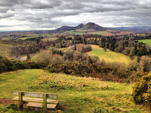
View from above
Foulden View
Foulden View
church scotland ladykirk kingjamesiv
Ladykirk Church (3)
Tweed View
Venchin Hill View
england northumberland stonecircle duddo cjt29
Duddo Standing Stones
Foulden View
scotland cow september kelso 2011 plumbraes
September 13 Borders (48)
panoramafotográfico mygearandme
Landscape from Scotland
history northumberland stonecircle 2014 duddo andygray andrewsgray duddostones duddostonescircle
Time Will Always Pass
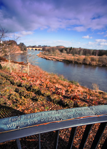
bridge england river scotland border coldstream rivertweed flickrtoday orangecapri
. . . two nations marry like runaways
iphone contemporaryartsociety hipstamatic jimmylens jollyrainboflash blankofreedom13film
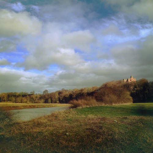
Norham Castle from the banks of The Tweed, Northumberland
sunset scotland borders msh0814 creationscrowningglory cjt29 msh08145
Creations Crowning Glory
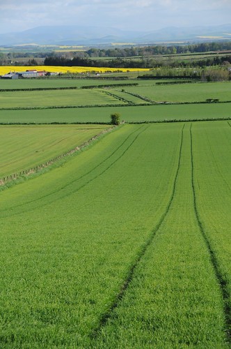
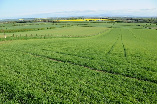
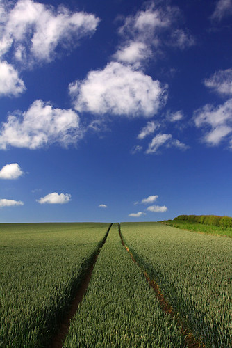
uk greatbritain blue summer england sky white color colour green field lines weather rural countryside interestingness interesting europe britishisles unitedkingdom britain farm tracks bluesky farmland explore northumberland northumbria cumulus gb crops agriculture parallellines cornhill arable tractortracks canoneos50d cumulusfractus cornhillontweed cerealcrops
Parallel Lines
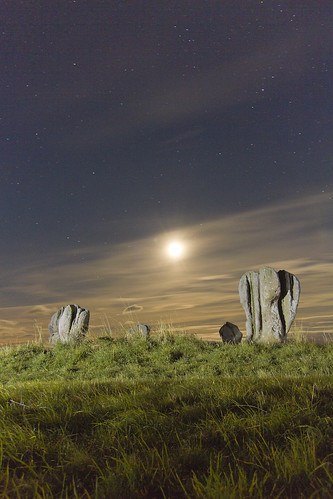
lightpainting night standingstones northumberland prehistoric duddo stonecirle meglaith
Duddo moon
scotland aurora rays northernlights auroraborealis scottishborders
Tonight's Aurora!
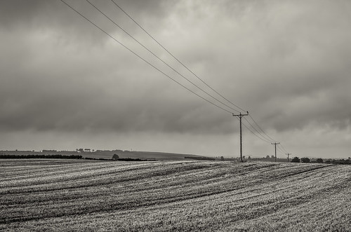
autumn sky monochrome clouds landscapes countryside northumberland berwickupontweed smcpda40mmf28 pentaxk5
northumberland-2-160914
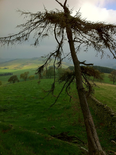
Tree Trees
Looking back from climbing up
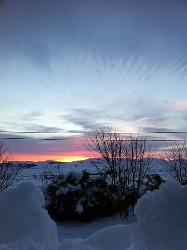
Sunrise with snow
Sunset Clouds
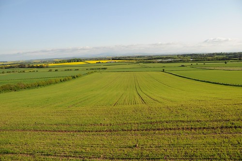
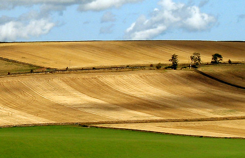
uk blue trees summer sky colour green clouds canon landscape scotland fields a620 naturesfinest goldenglobe scottishborders blueribbonwinner platinumphoto aplusphoto naturewatcher simplysuperb platinumsuperstar mygearandmepremium mygearandmebronze mygearandmesilver smörgåsbord
Field Patterns
england geotagged unitedkingdom etal 202kmtoetalinenglandunitedkingdom geo:lat=55647510 geo:lon=2120250
2008-09-n3-0037
iphotooriginal
FZ38_2010-06-25 212514