Elevation of 16- Ohia Dr, Pāhoa, HI, USA
Location: United States > Hawaii > Hawaii County > Pāhoa >
Longitude: -154.98573
Latitude: 19.523815
Elevation: 207m / 679feet
Barometric Pressure: 99KPa
Elevation Map:
Satellite Map:
Related Photos:
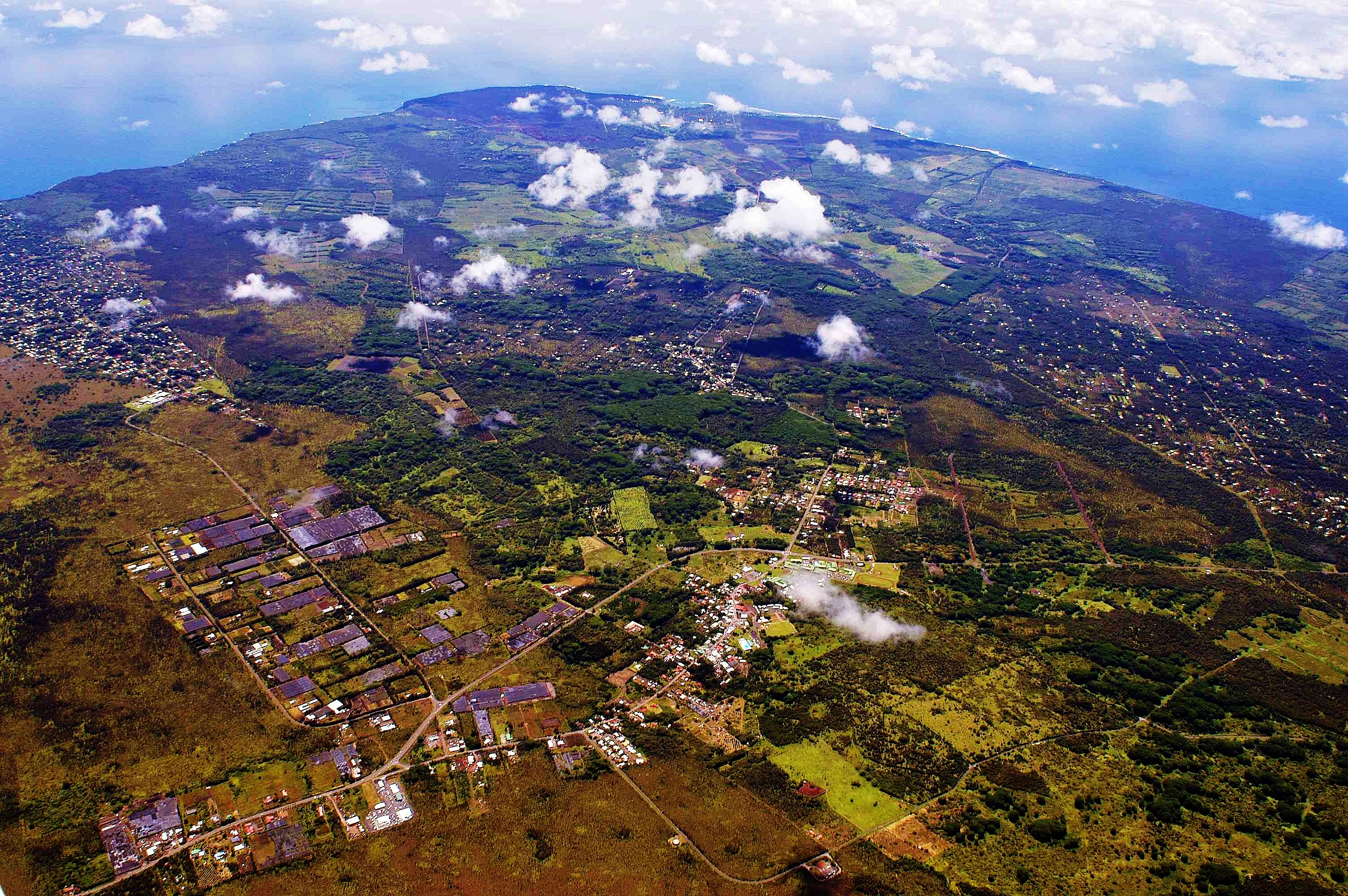
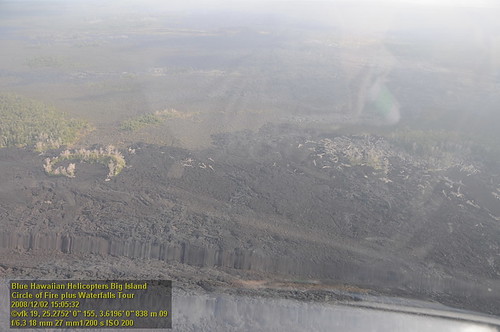
2006: Pahoa and Puna, Hawai'i - In the path of Kilauea Volcano lava

Palm Frond at dawn, Hawaii
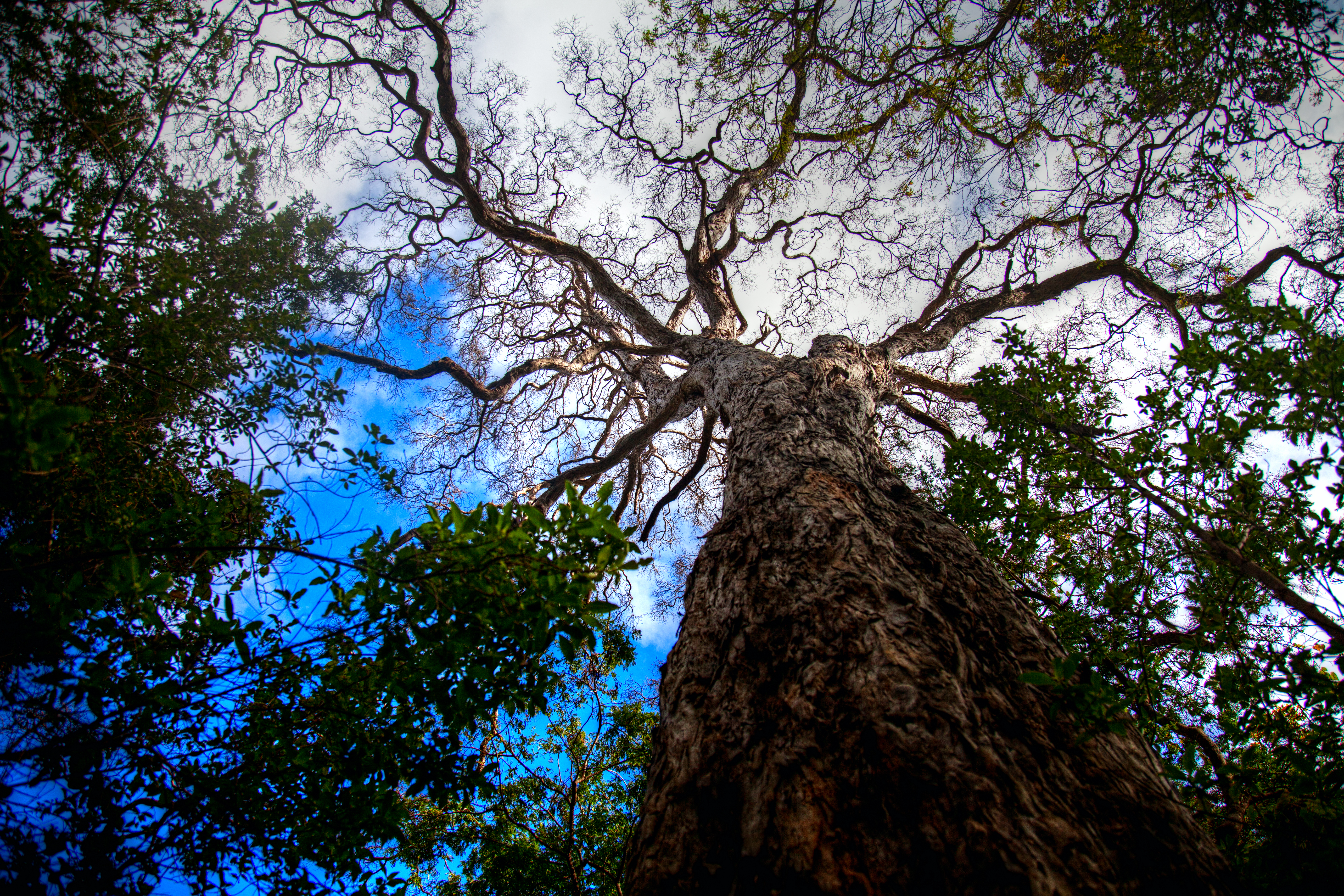
Tree Top View

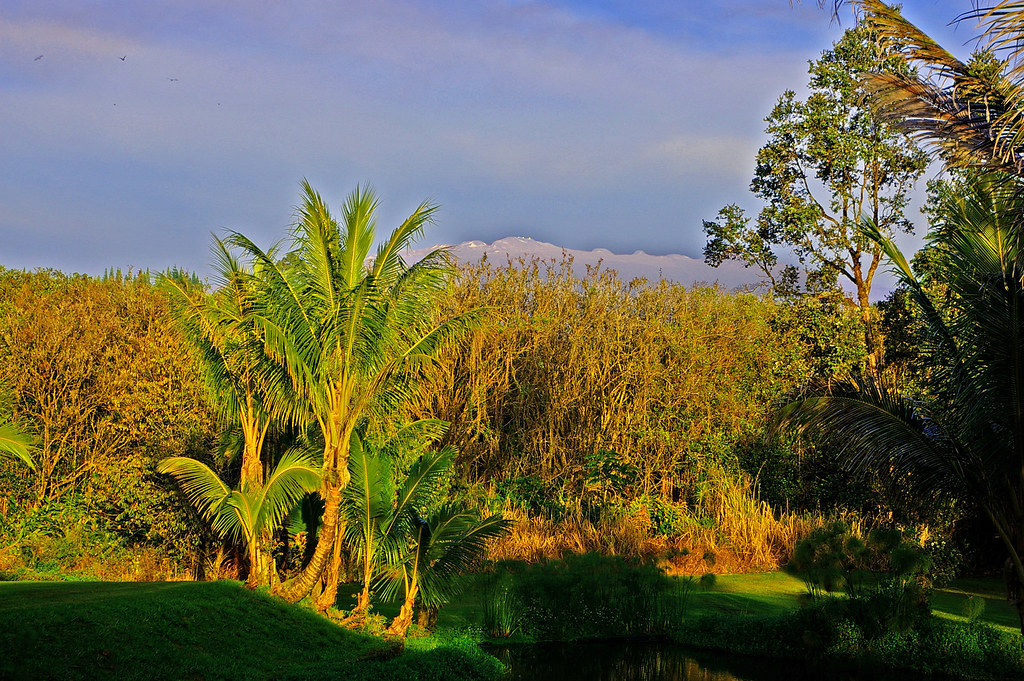
Sunup on a snowy Mauna Kea from Mountain View B&B, Hawaii
HW7428VF2_4929.JPG
Mauna Kea in early morning light from Mountain View, Hawaii
HW6981VF2_4482.JPG

A grey morning, but still a tremendous view of the coast.
Hawaiian Paradise Park

Kehena Beach 001
HW7022VF2_4523.JPG

HW6979VF2_4480.JPG
Cruising along Red Road on #thebigisland of #Hawaii nothing better than a cruise with this view #naturalbeauty

The strip
HW7021VF2_4522.JPG

Oblique view, Kurtistown Jōdo Mission
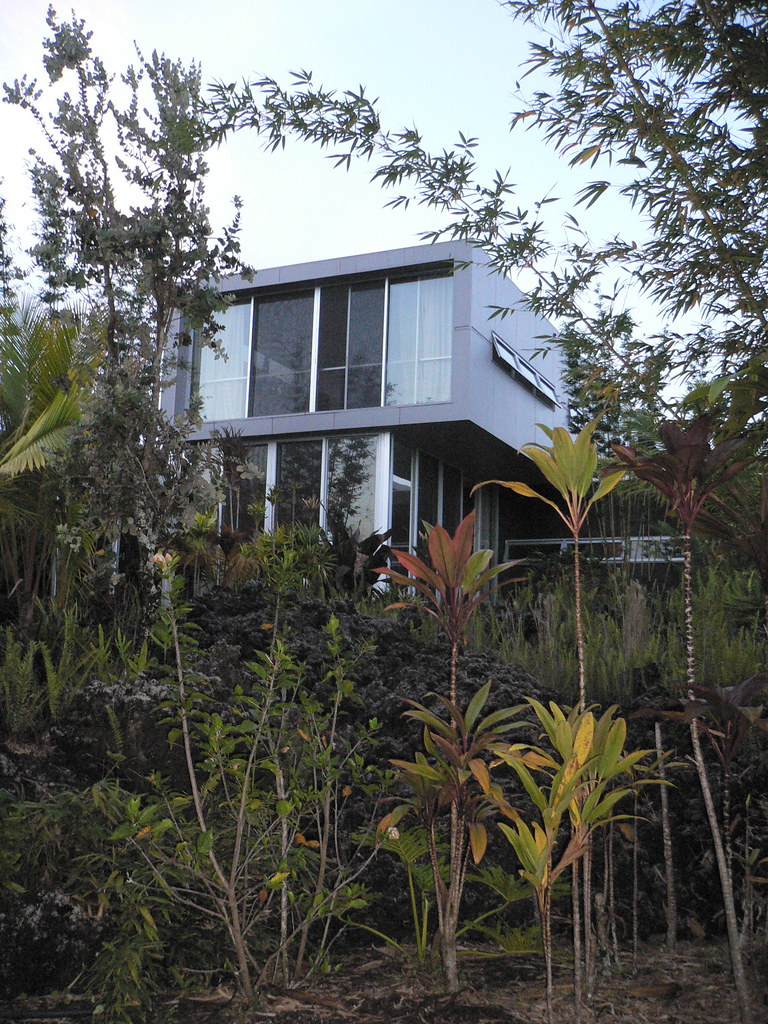
Main House
HW7018VF2_4519.JPG

Pitcher Plant at Absolute Paradise
HW7017VF2_4518.JPG
HW7020VF2_4521.JPG
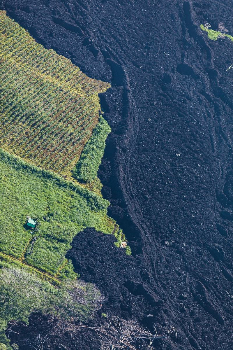
Green & Black
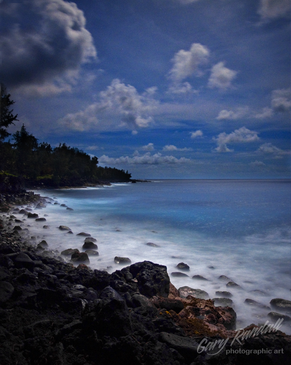
Blue Hawaii
Ironwood Iron Will

IMG_8568.jpg

IMG_8528.jpg

Kilauea Hawaii Volcano - Fissure 8

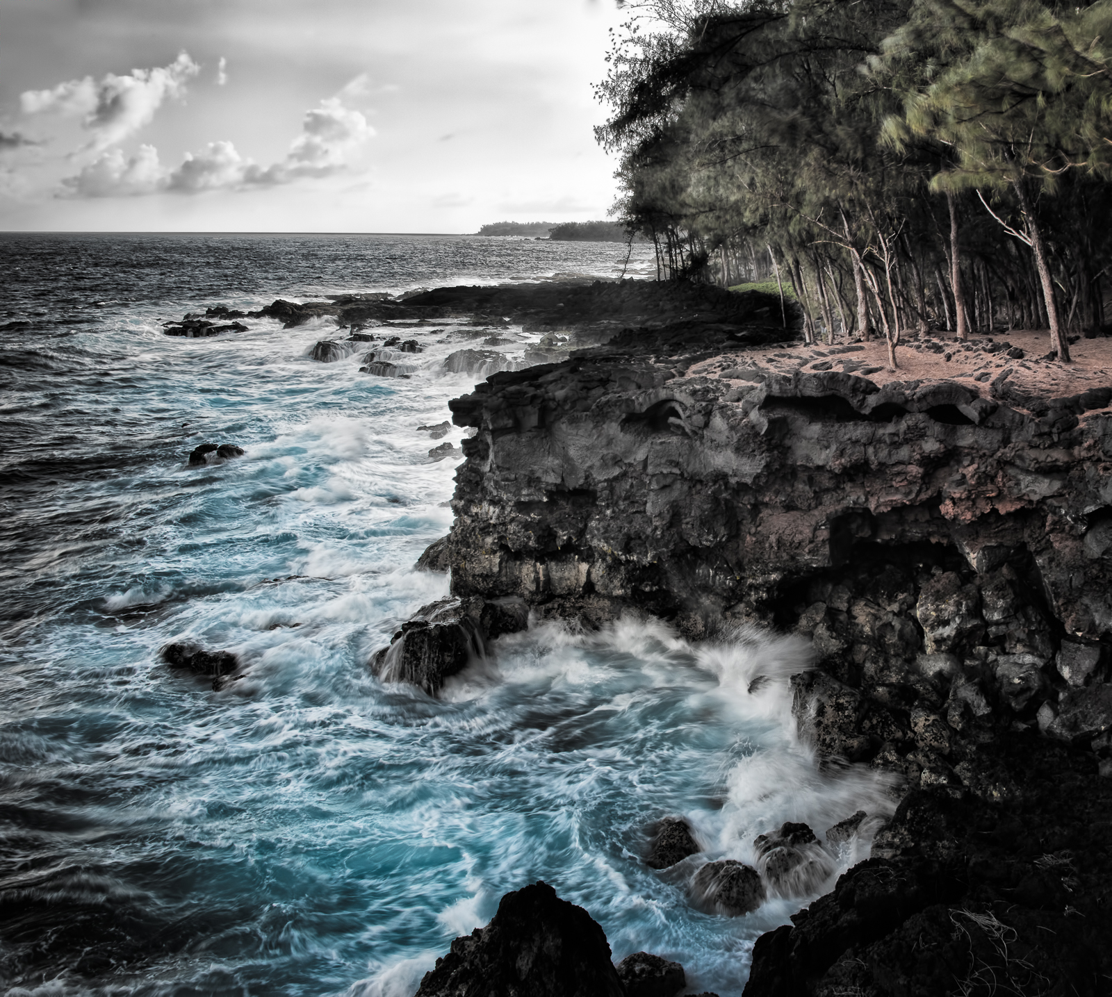
Red Road
Topographic Map of 16- Ohia Dr, Pāhoa, HI, USA
Find elevation by address:

Places near 16- Ohia Dr, Pāhoa, HI, USA:
Vista Drive
16-2044 Hanale Dr
16-2060 Silveroak Dr
16-2229 Ainaloa Dr
Silversword Drive
Ainaloa
16-2051 Sandalwood Dr
16-380 Ainaloa Blvd
16-2003 Tiki Rd
16-2117 Emerald Dr
16-1919 Uilani Dr
16-1953 Aloha Ct
16-1945 Silversword Ct
16-2145 Tangerine Dr
16-2120 Azure Rd
16-287 Aulii St
16-272 Aulii St
Plumeria Drive
16-2093 Stardust Dr
15-1929 32nd Ave
Recent Searches:
- Elevation of Badaber, Peshawar, Khyber Pakhtunkhwa, Pakistan
- Elevation of SE Heron Loop, Lincoln City, OR, USA
- Elevation of Slanický ostrov, 01 Námestovo, Slovakia
- Elevation of Spaceport America, Co Rd A, Truth or Consequences, NM, USA
- Elevation of Warwick, RI, USA
- Elevation of Fern Rd, Whitmore, CA, USA
- Elevation of 62 Abbey St, Marshfield, MA, USA
- Elevation of Fernwood, Bradenton, FL, USA
- Elevation of Felindre, Swansea SA5 7LU, UK
- Elevation of Leyte Industrial Development Estate, Isabel, Leyte, Philippines