Elevation of 16- Ainaloa Blvd, Pāhoa, HI, USA
Location: United States > Hawaii > Hawaii County > Pāhoa >
Longitude: -154.99151
Latitude: 19.532762
Elevation: 194m / 636feet
Barometric Pressure: 99KPa
Elevation Map:
Satellite Map:
Related Photos:

Palm Frond at dawn, Hawaii
HW6981VF2_4482.JPG

Sunup on a snowy Mauna Kea from Mountain View B&B, Hawaii
HW7001VF2_4502.JPG

16-2108 IO KEA RD MOUNTAIN VIEW, HI 96771
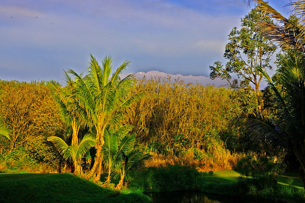
Mauna Kea in early morning light from Mountain View, Hawaii

HW6979VF2_4480.JPG
Hawaiian Highway

The strip
HW7428VF2_4929.JPG
HW7008VF2_4509.JPG
Cruising along Red Road on #thebigisland of #Hawaii nothing better than a cruise with this view #naturalbeauty
HW7022VF2_4523.JPG
HW7026VF2_4527.JPG
HW7021VF2_4522.JPG

We can pickle that
HW7481VF2_4982.JPG
sunrise-day1
HW7018VF2_4519.JPG
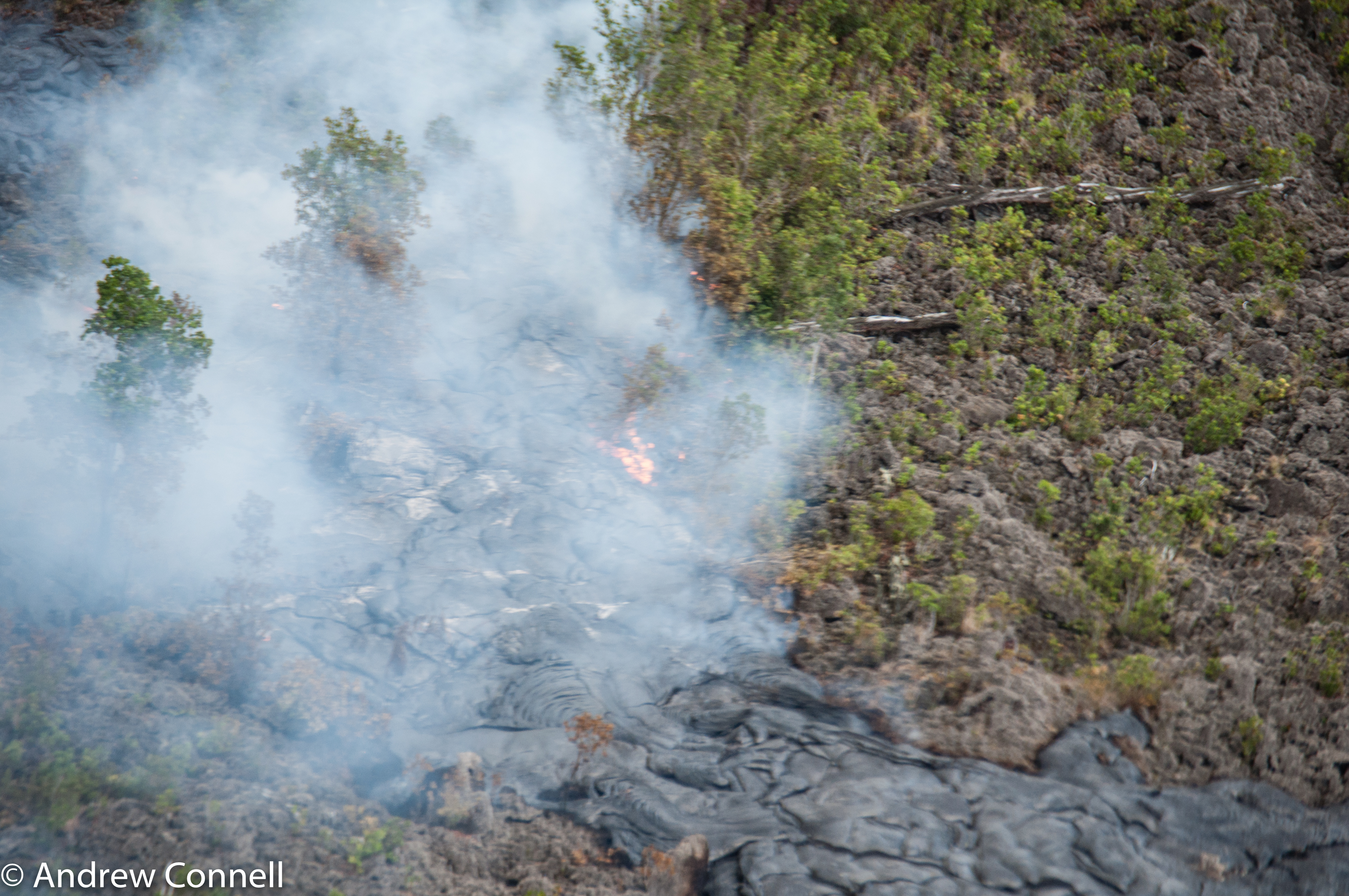
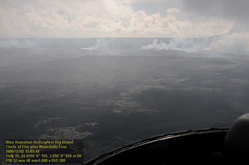
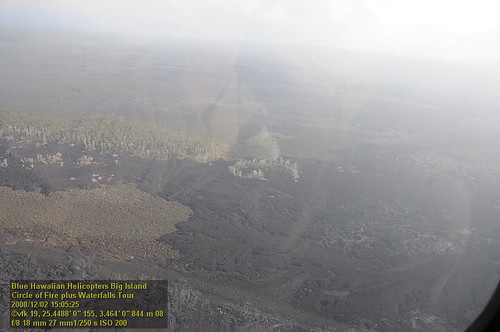
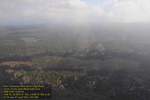
The current active lava flow as it moves into a forest. It's moved 2 miles in the last 8 months.
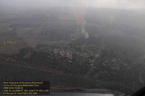
HW7017VF2_4518.JPG

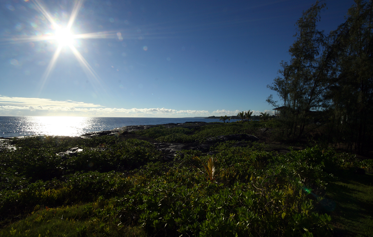
God Beams

⛅️
Topographic Map of 16- Ainaloa Blvd, Pāhoa, HI, USA
Find elevation by address:

Places near 16- Ainaloa Blvd, Pāhoa, HI, USA:
16-2003 Tiki Rd
16-1919 Uilani Dr
16-2044 Hanale Dr
Ainaloa
16-2060 Silveroak Dr
16-1953 Aloha Ct
Vista Drive
16-1945 Silversword Ct
16-2051 Sandalwood Dr
16-2133 Ohia Dr
16-2229 Ainaloa Dr
Silversword Drive
16-287 Aulii St
16-272 Aulii St
16-2117 Emerald Dr
15-1929 32nd Ave
16-333 Orchid Land Dr
16-2145 Tangerine Dr
16-2120 Azure Rd
37th Avenue
Recent Searches:
- Elevation of Tenjo, Cundinamarca, Colombia
- Elevation of Côte-des-Neiges, Montreal, QC H4A 3J6, Canada
- Elevation of Bobcat Dr, Helena, MT, USA
- Elevation of Zu den Ihlowbergen, Althüttendorf, Germany
- Elevation of Badaber, Peshawar, Khyber Pakhtunkhwa, Pakistan
- Elevation of SE Heron Loop, Lincoln City, OR, USA
- Elevation of Slanický ostrov, 01 Námestovo, Slovakia
- Elevation of Spaceport America, Co Rd A, Truth or Consequences, NM, USA
- Elevation of Warwick, RI, USA
- Elevation of Fern Rd, Whitmore, CA, USA