Elevation of 15- 32nd Ave, Keaau, HI, USA
Location: United States > Hawaii > Hawaii County > Keaau >
Longitude: -154.97804
Latitude: 19.5509169
Elevation: 130m / 427feet
Barometric Pressure: 100KPa
Elevation Map:
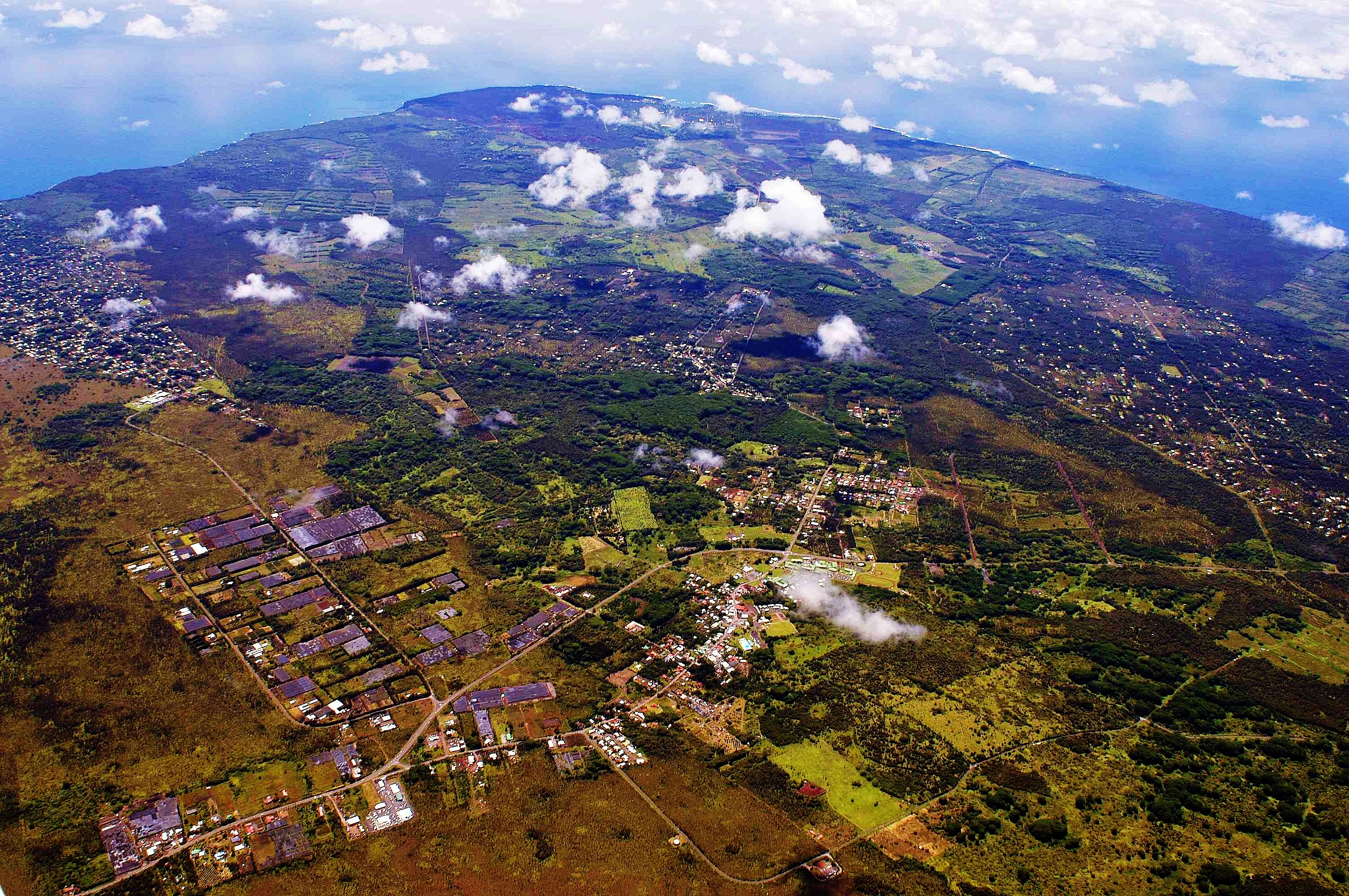
Satellite Map:
Related Photos:
2006: Pahoa and Puna, Hawai'i - In the path of Kilauea Volcano lava

Sunup on a snowy Mauna Kea from Mountain View B&B, Hawaii
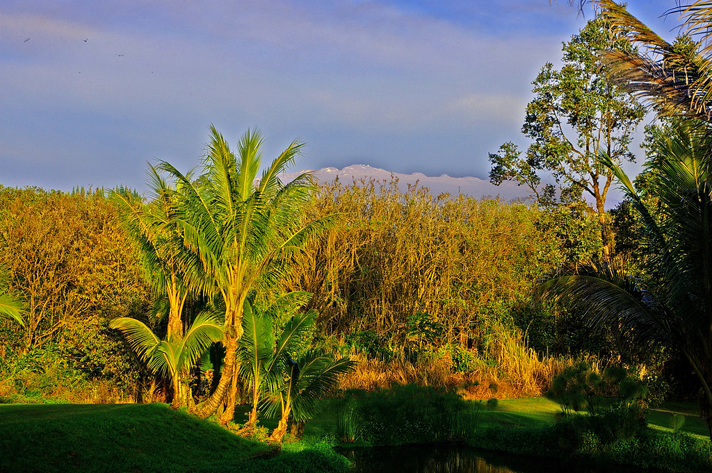
Mauna Kea in early morning light from Mountain View, Hawaii
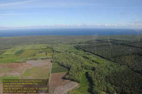
HW6981VF2_4482.JPG
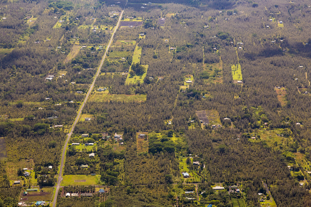
Hawaiian Paradise Park
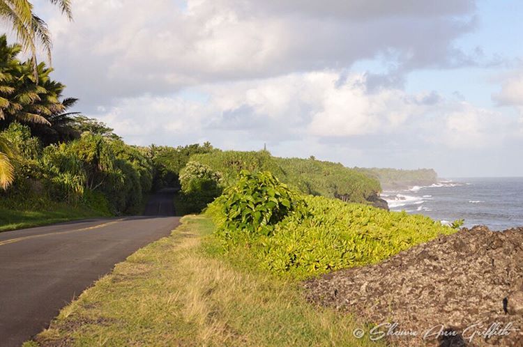
Cruising along Red Road on #thebigisland of #Hawaii nothing better than a cruise with this view #naturalbeauty

HW6979VF2_4480.JPG

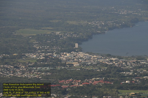
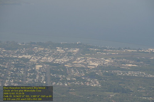
The strip

Oblique view, Kurtistown Jōdo Mission
HW7017VF2_4518.JPG

We can pickle that
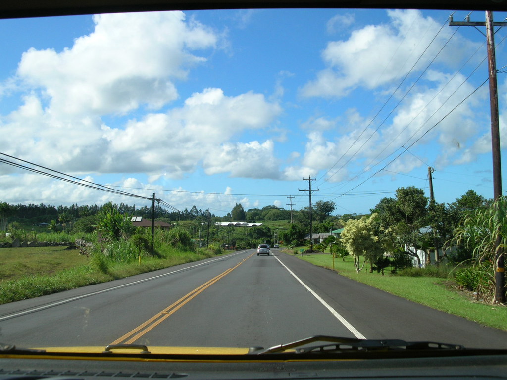
Hawaiian Highway
HW7479VF2_4980.JPG
HW6973VF2_4474.JPG
HW7464VF2_4965.JPG
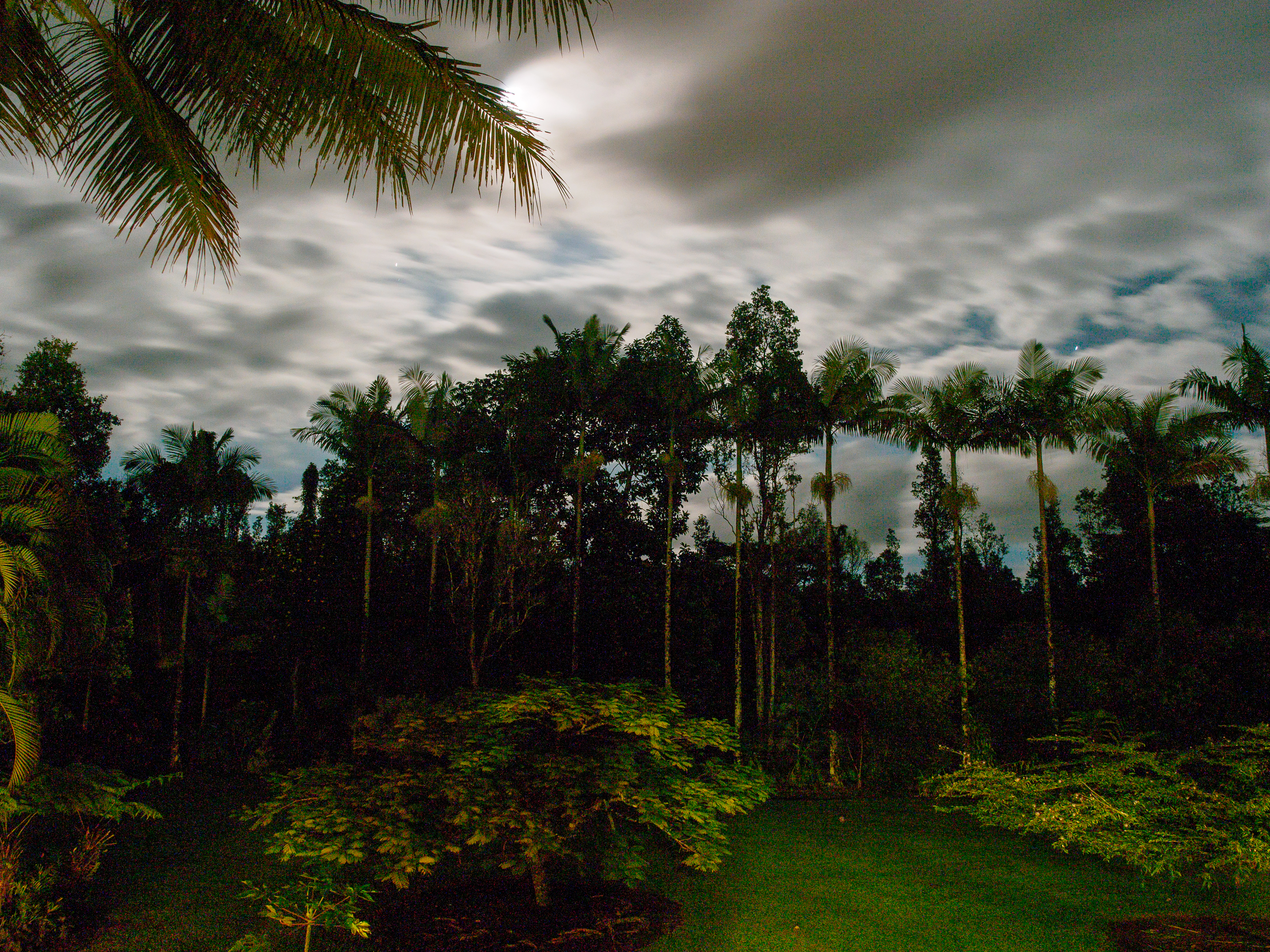
noisy night view
HW6968VF2_4469.JPG

Golden Sunrise at Kaloli Point

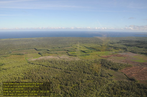
HW6990VF2_4491.JPG
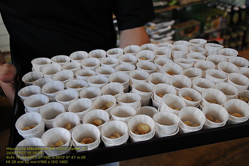
HW4404VF2_3671 Mauna Loa Macadamia Nut Visitor Center.JPG
HW7434VF2_4935.JPG
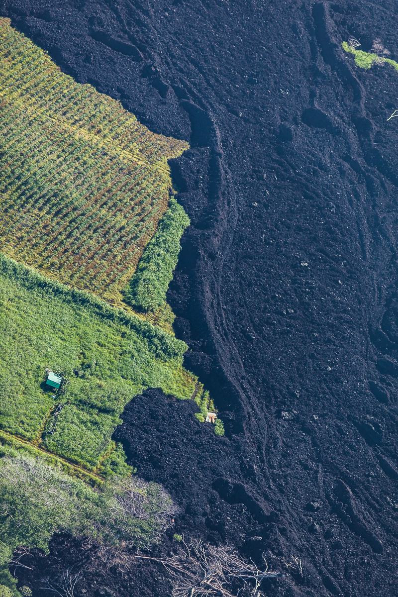
Green & Black
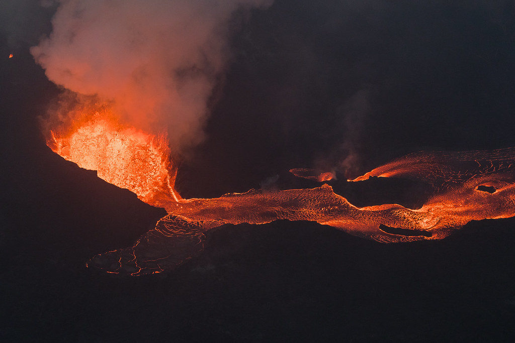
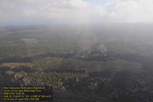
Hawaii Kilauea Volcano Fissure 8 Lava
Topographic Map of 15- 32nd Ave, Keaau, HI, USA
Find elevation by address:

Places near 15- 32nd Ave, Keaau, HI, USA:
15-1916 30th Ave
15-1865 29th Ave
15-2044 29th Ave
15-2060 29th Ave
15-1770 28th Ave
15-2016 25th Ave
16-272 Aulii St
16-287 Aulii St
15 Okika Ave
15 Okika Ave
15 Okika Ave
15-1867 22nd Ave
25th Avenue
16-2060 Silveroak Dr
16-2229 Ainaloa Dr
24th Avenue
16-1658 35th Ave
15-1736 22nd Ave
16-380 Ainaloa Blvd
15-1610 31st Ave
Recent Searches:
- Elevation of Leyte Industrial Development Estate, Isabel, Leyte, Philippines
- Elevation of W Granada St, Tampa, FL, USA
- Elevation of Pykes Down, Ivybridge PL21 0BY, UK
- Elevation of Jalan Senandin, Lutong, Miri, Sarawak, Malaysia
- Elevation of Bilohirs'k
- Elevation of 30 Oak Lawn Dr, Barkhamsted, CT, USA
- Elevation of Luther Road, Luther Rd, Auburn, CA, USA
- Elevation of Unnamed Road, Respublika Severnaya Osetiya — Alaniya, Russia
- Elevation of Verkhny Fiagdon, North Ossetia–Alania Republic, Russia
- Elevation of F. Viola Hiway, San Rafael, Bulacan, Philippines