Elevation of 14 Coastal Walk, St Marys, GA, USA
Location: United States > Georgia > Camden County > Saint Marys >
Longitude: -81.609016
Latitude: 30.780034
Elevation: 11m / 36feet
Barometric Pressure: 101KPa
Elevation Map:
Satellite Map:
Related Photos:

Crossing Into Florida II

step into the light

Augusts Showers

Two Generations Of Steel

cat's meow campsite

the last to know

Grave at Sunset

SWFLANT_Glow_IMG_8912 View full screen.

DON'T FORGET THE SOUVENIRS
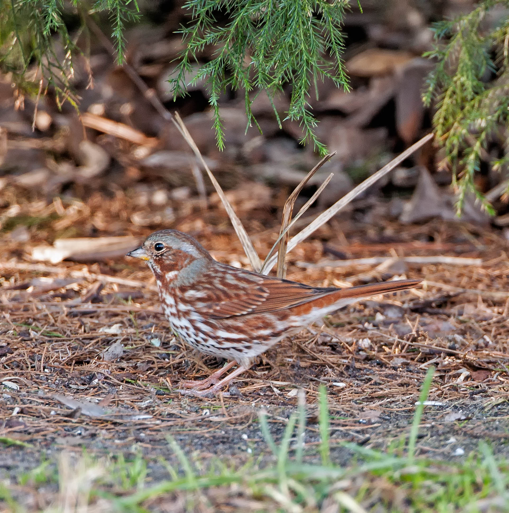
Fox Sparrow (Red)
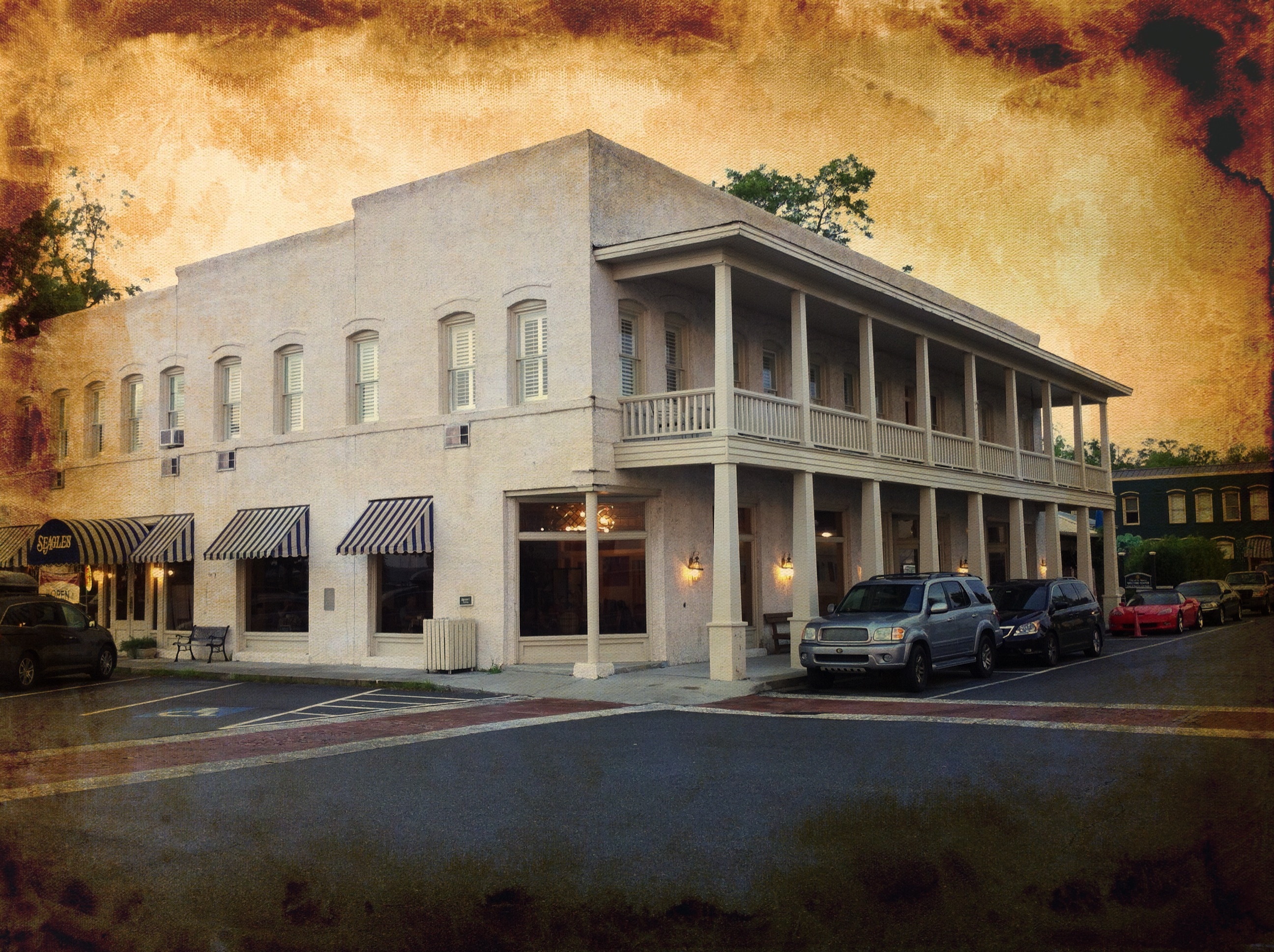
River View Hotel

View from St. Marys Steam Express
Deeper than Any Forest Primeval...
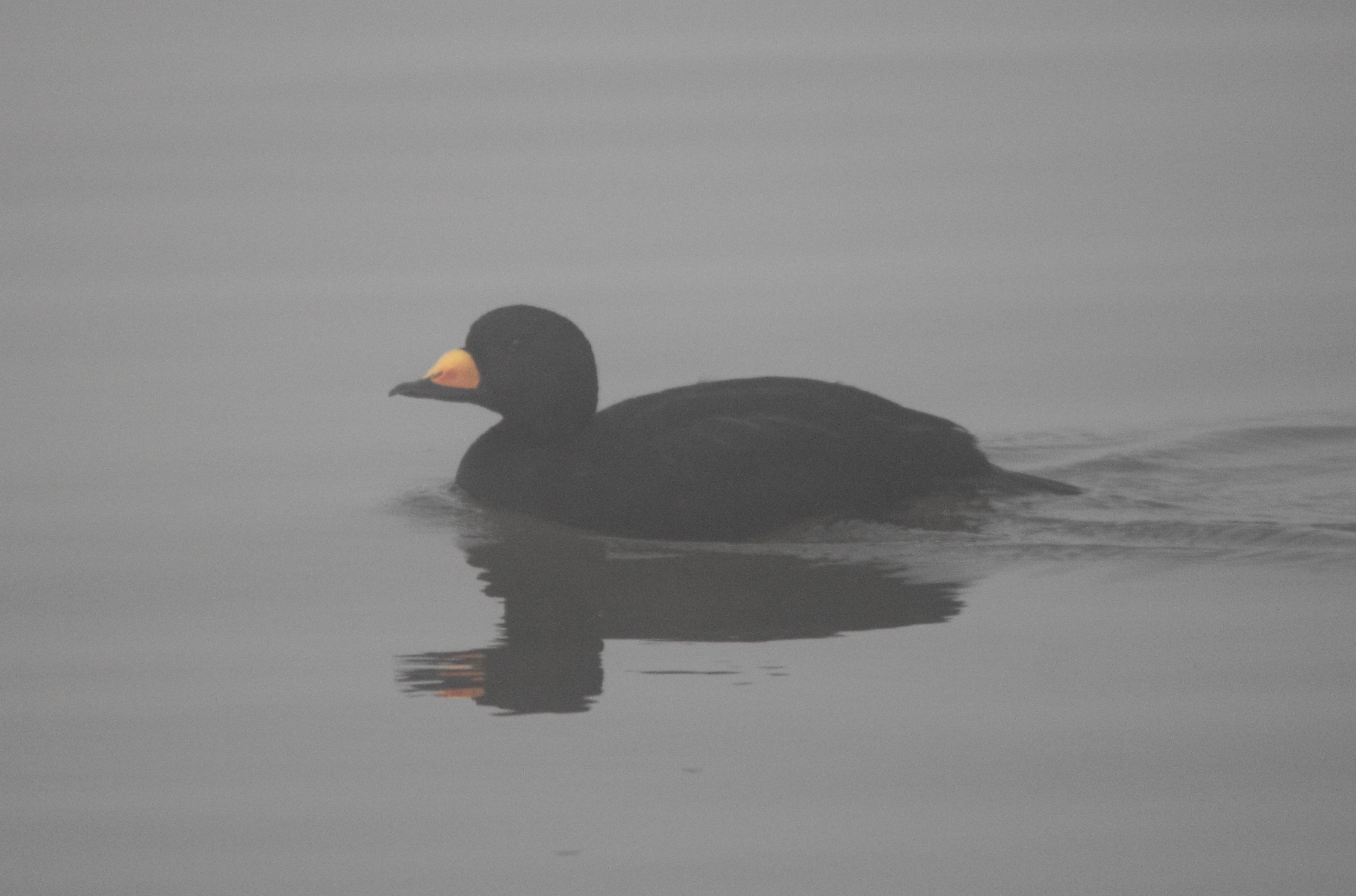
Black Scoter. Cumberland Island, Camden County, 16 December 2012. Photo by Bob Sattelmeyer
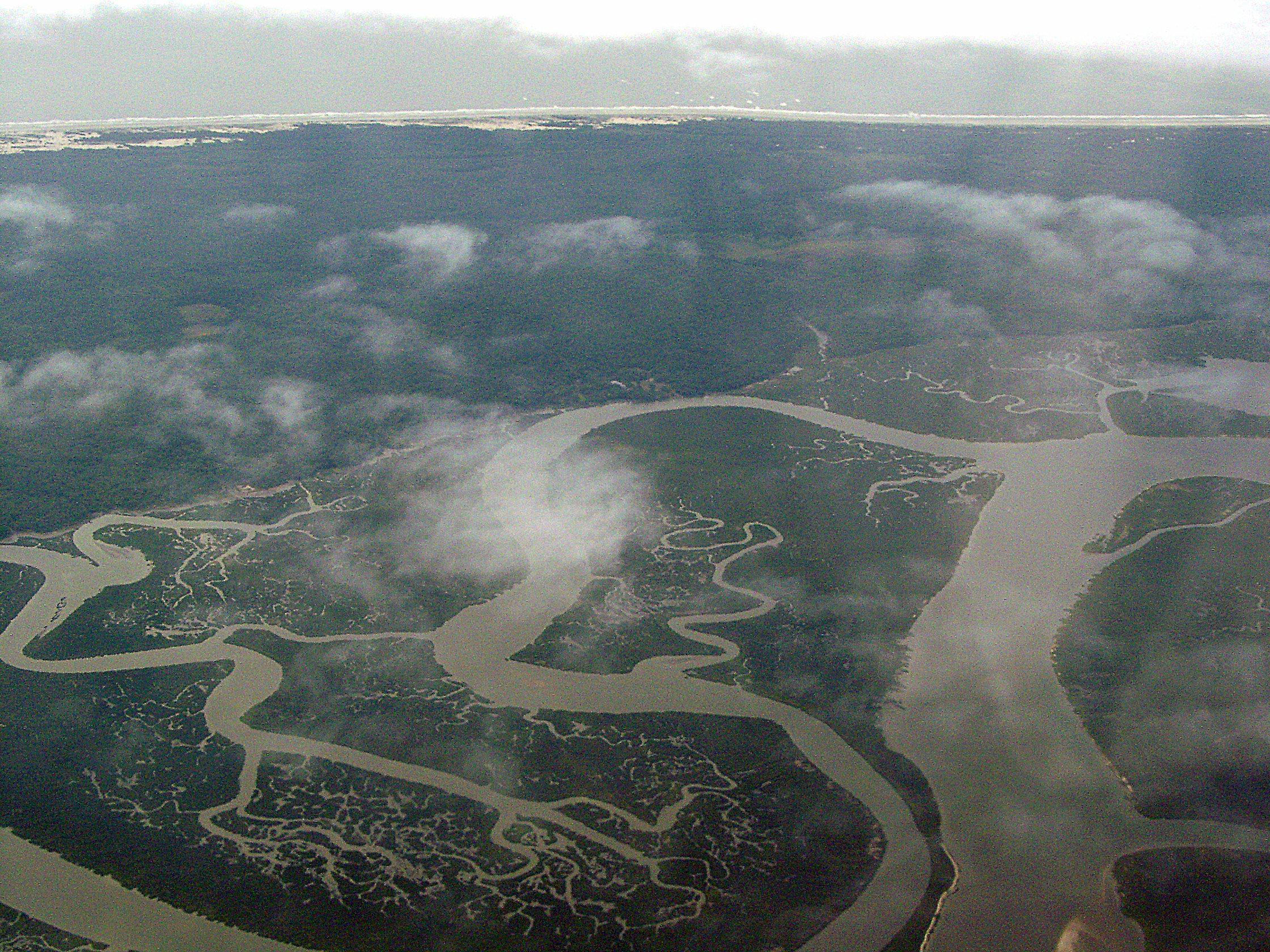
Cumberland River, Brickhill River, and Cumberland Island, Georgia

St. Marys, Georgia
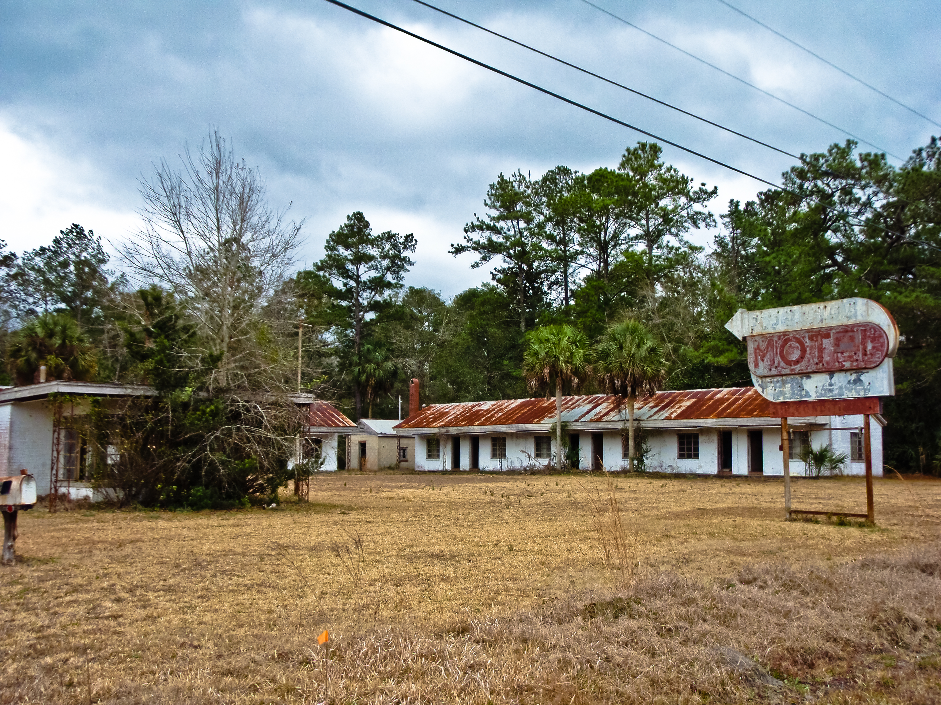
BORDER MOTEL

Gonatista grisea (female), Plum Orchard, Cumberland Island National Seashore, Camden County, Georgia 2

Gonatista grisea (female), Plum Orchard, Cumberland Island National Seashore, Camden County, Georgia 1
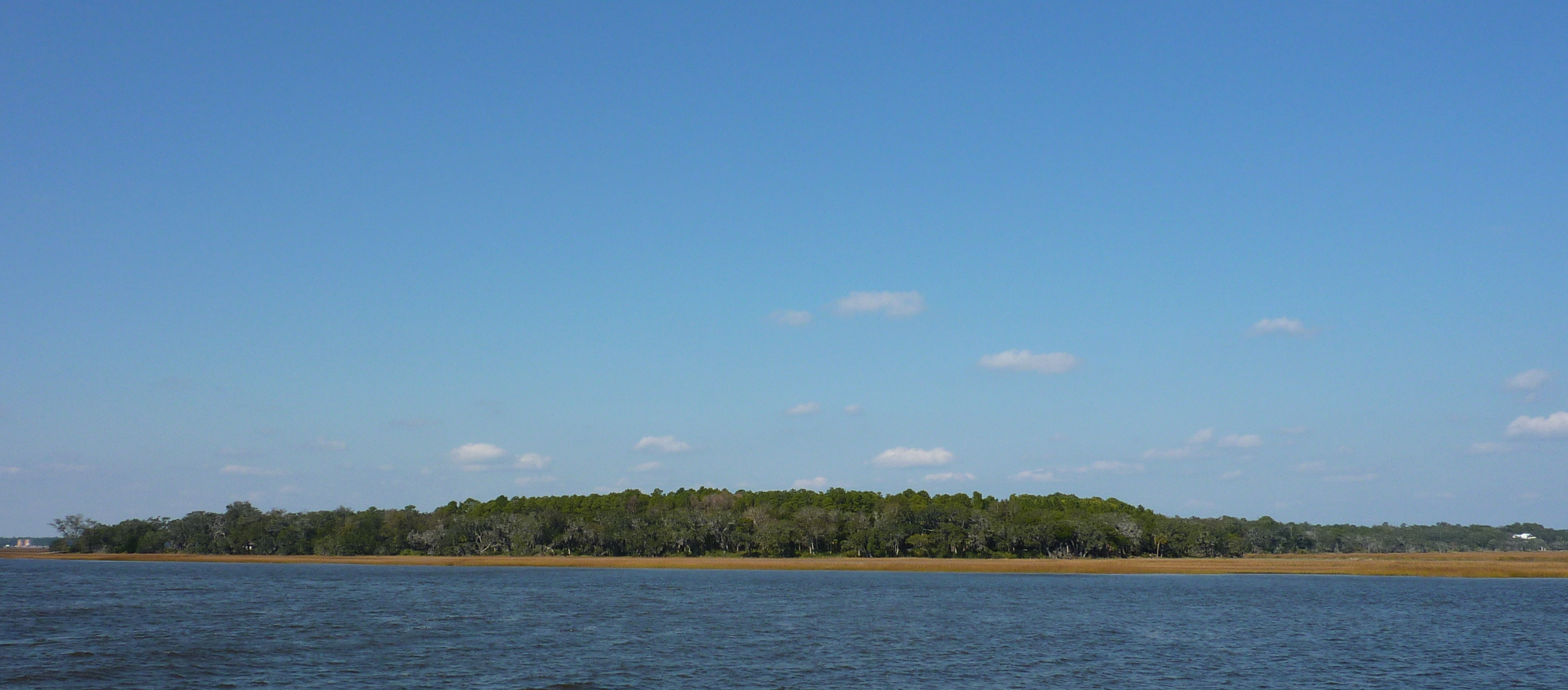
View from Cumberland Island

Fox Sparrow (Red)

Marsh at High Tide_IMG_0979

Last northbound run across the Marshes

Reflection IMG_0903_HDR

A Good Sunday

Lines IMG_0994

Morning Calm_IMG_7410

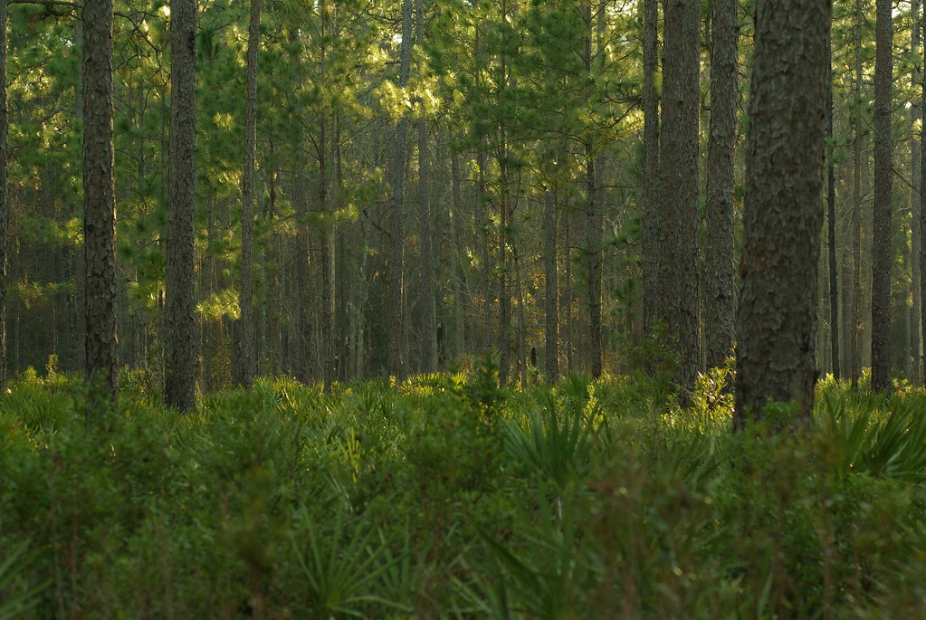
Forest Path

Sunrise on the River_IMG_0173

Road to Dungeness, Cumberland Island, Georgia
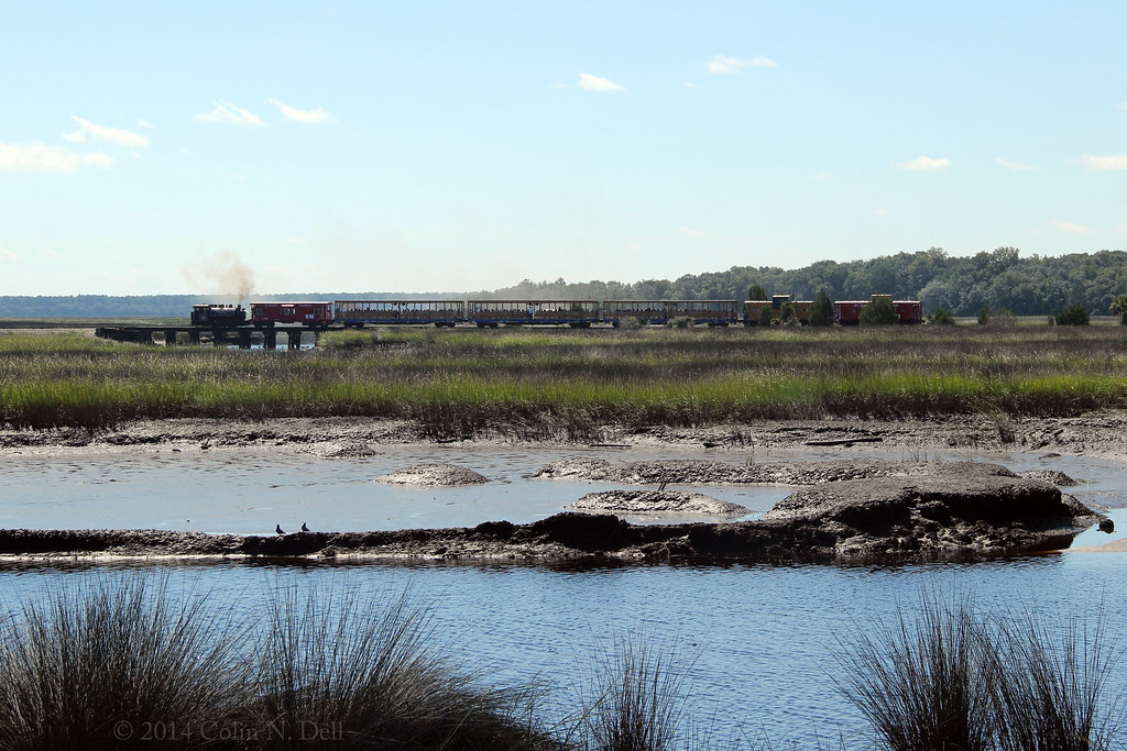
St Mary's Steam Express

Tree of Life

Sea Camp Beach

Wide open road

Like a Dream

Saint Marys sunset

Crooked River Before Sunrise_IMG_8562

Calm Morning IMG_8588

Crooked River State Park 16

On the River_IMG_20150502_2745

River from the Dock_IMG_8701
Topographic Map of 14 Coastal Walk, St Marys, GA, USA
Find elevation by address:

Places near 14 Coastal Walk, St Marys, GA, USA:
11 Coastal Walk
Lake Shore Drive
108 Mariners Dr
136 Woodvalley Ct
Buck Island Court
Buck Island Court
223 Lakemont Dr
116 N Woodvalley Dr
208 Cypress Dr
220 Cypress Dr
222 Cypress Dr
107 Woodridge Ct S
221 Cypress Dr
307 Holly Ct
Lake View Drive
331 Dogwood Ct
333 Dogwood Ct
162 Gross Rd
113 Hydrangea Rd
1410 Ga-40
Recent Searches:
- Elevation of Warwick, RI, USA
- Elevation of Fern Rd, Whitmore, CA, USA
- Elevation of 62 Abbey St, Marshfield, MA, USA
- Elevation of Fernwood, Bradenton, FL, USA
- Elevation of Felindre, Swansea SA5 7LU, UK
- Elevation of Leyte Industrial Development Estate, Isabel, Leyte, Philippines
- Elevation of W Granada St, Tampa, FL, USA
- Elevation of Pykes Down, Ivybridge PL21 0BY, UK
- Elevation of Jalan Senandin, Lutong, Miri, Sarawak, Malaysia
- Elevation of Bilohirs'k