Elevation of Gross Rd, Kingsland, GA, USA
Location: United States > Georgia > Camden County > Kingsland >
Longitude: -81.637949
Latitude: 30.7987147
Elevation: 8m / 26feet
Barometric Pressure: 101KPa
Elevation Map:
Satellite Map:
Related Photos:

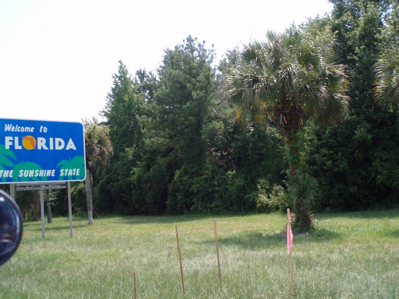
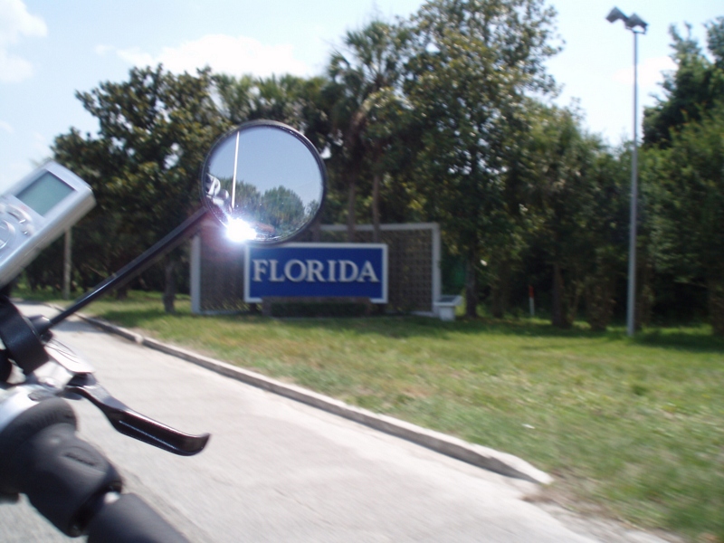
Crossing Into Florida II

Two Generations Of Steel

SWFLANT_Glow_IMG_8912 View full screen.

DON'T FORGET THE SOUVENIRS

Fox Sparrow (Red)
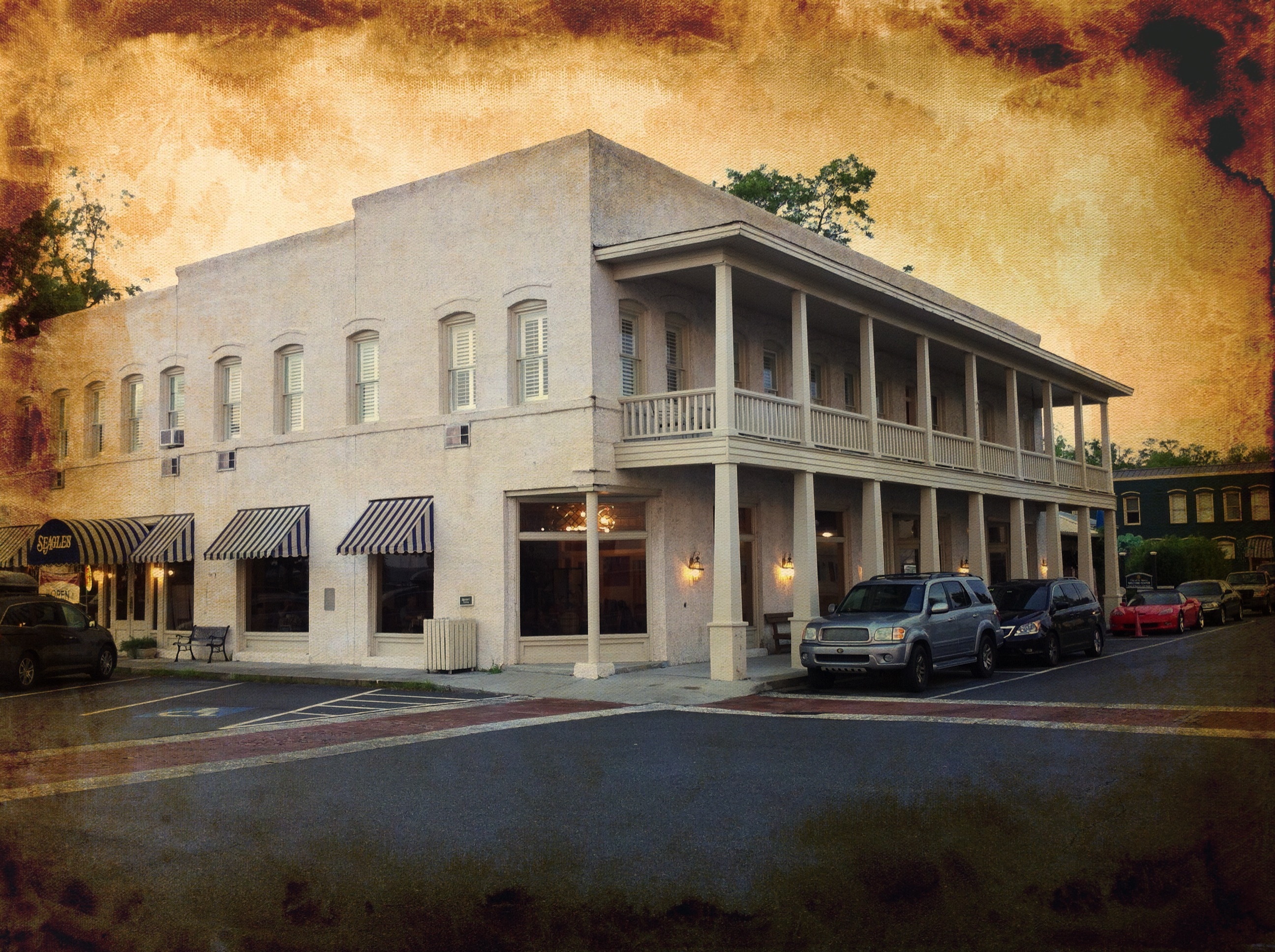
River View Hotel
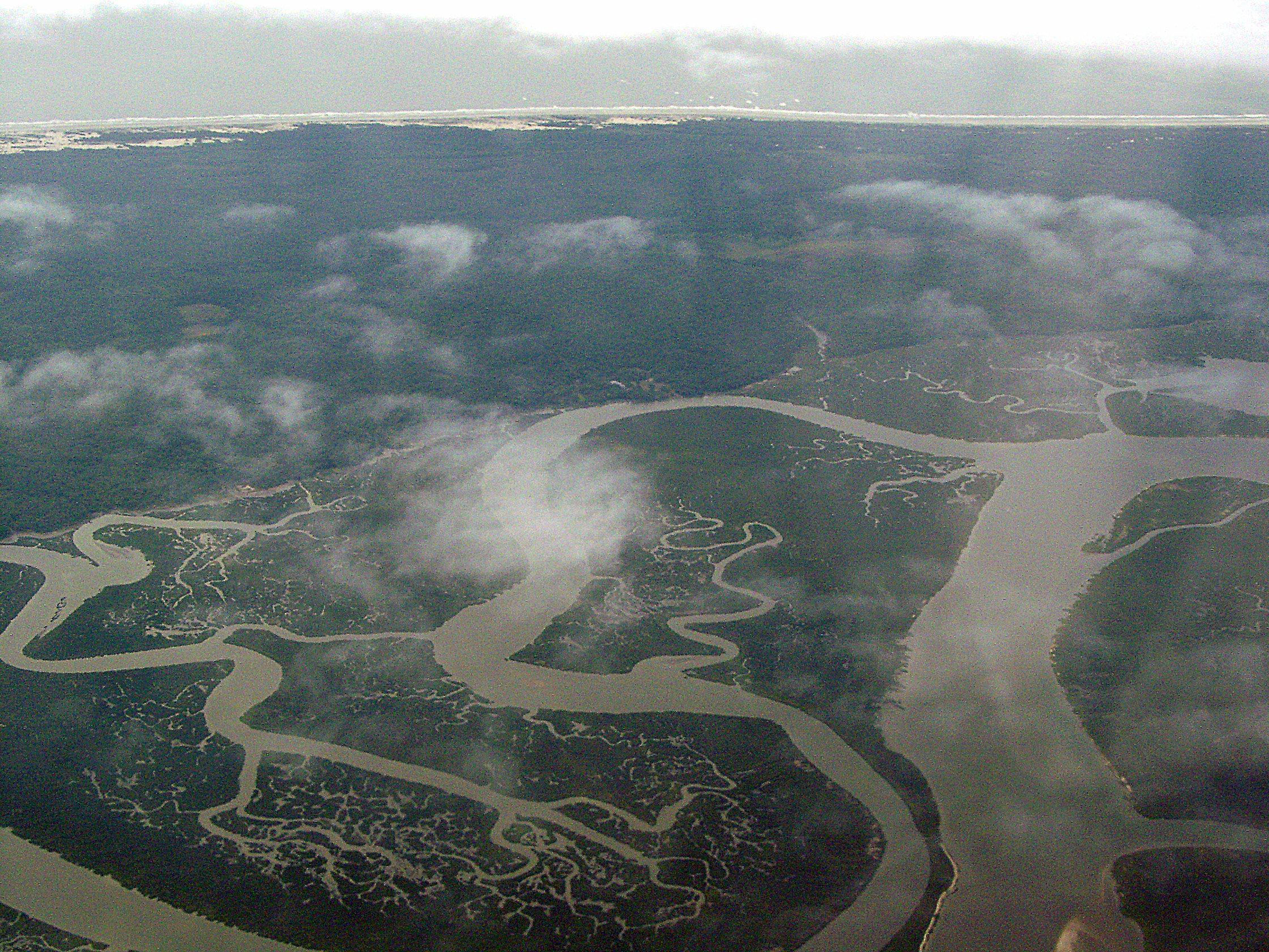
Cumberland River, Brickhill River, and Cumberland Island, Georgia

St. Marys, Georgia
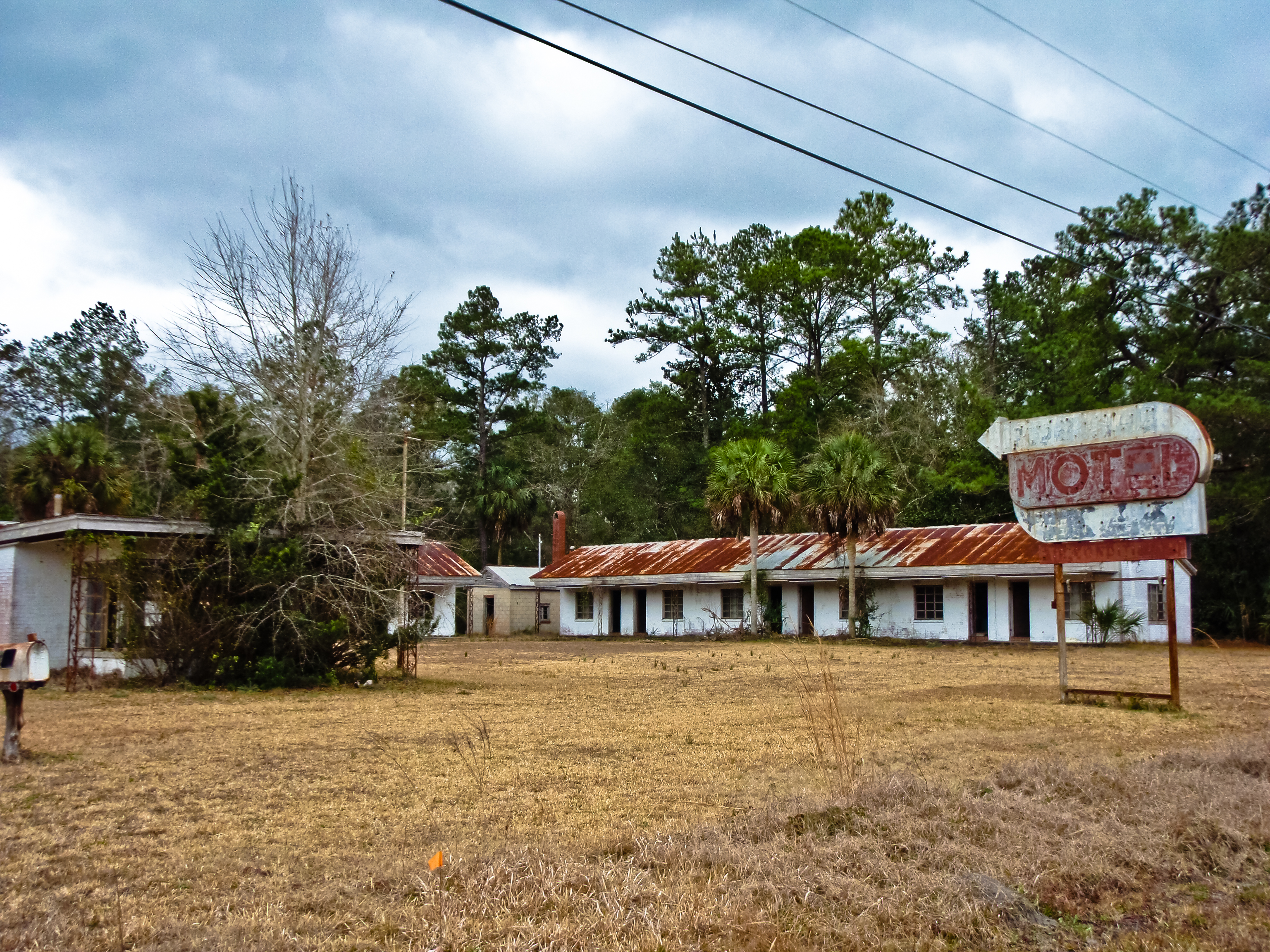
BORDER MOTEL

Fox Sparrow (Red)

Entering Florida
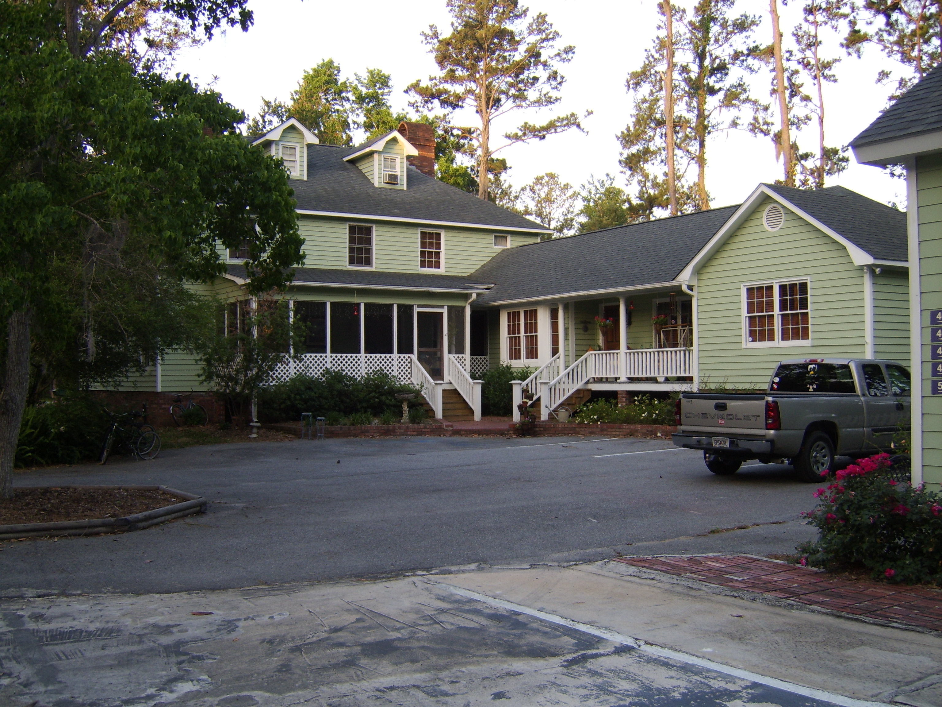
Emma's Bed and Breakfast, St. Marys, GA

Entering Florida

Sunday Morning II_IMG_5430

Sunday Morning I_IMG_5419

Sunday Morning III_IMG_5463
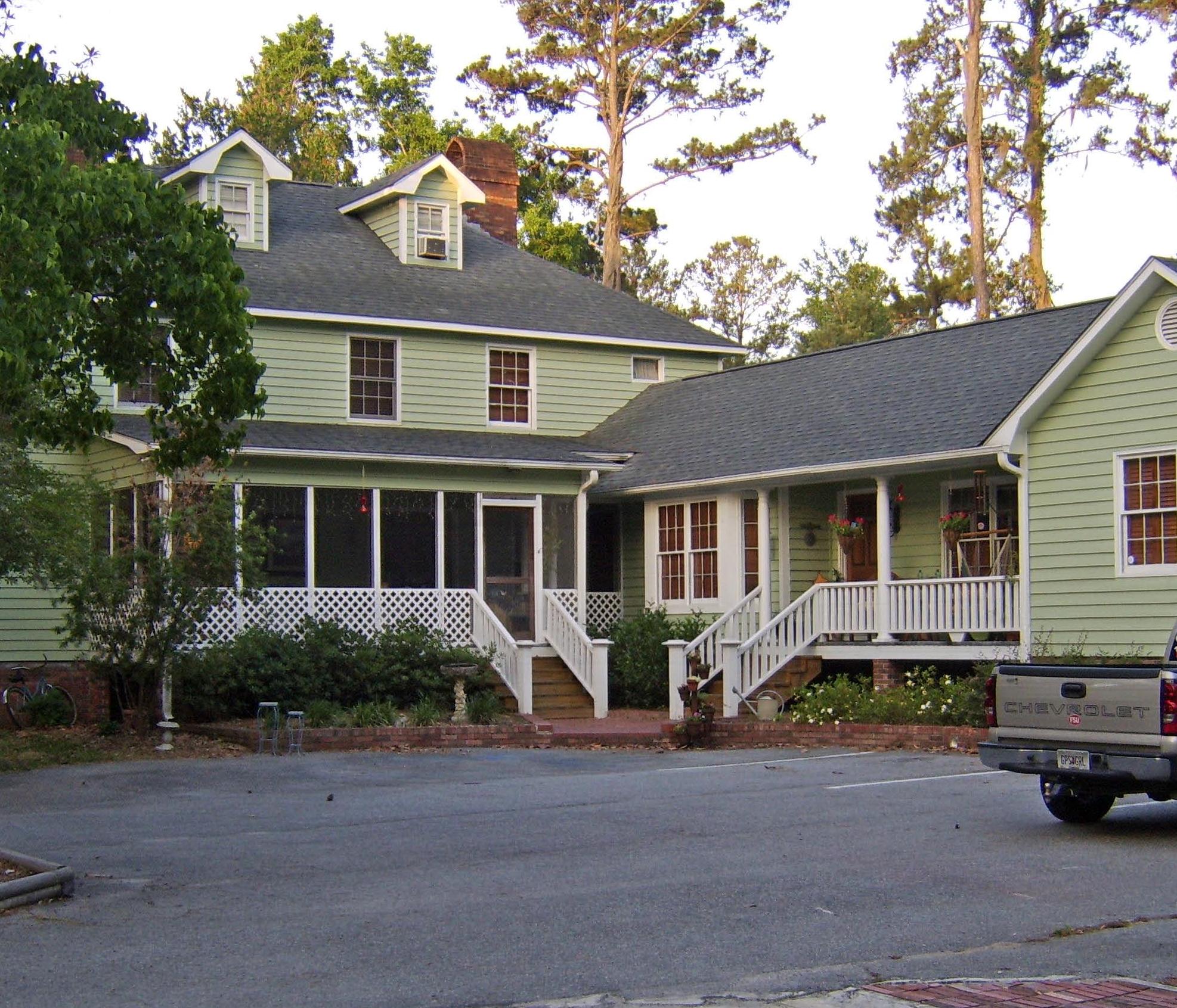
Emma's Bed and Breakfast, St. Marys, GA
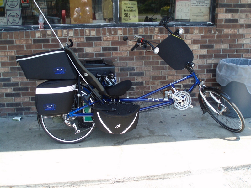
Time for hydration--again!
Our 4th state in as many days
Our last state--now to bike the length of FL--Tropical storm on the way...

We're Glad Georgia's On Your Mind

Marsh at High Tide_IMG_0979

Last northbound run across the Marshes

Reflection IMG_0903_HDR

A Good Sunday

Lines IMG_0994

Morning Calm_IMG_7410

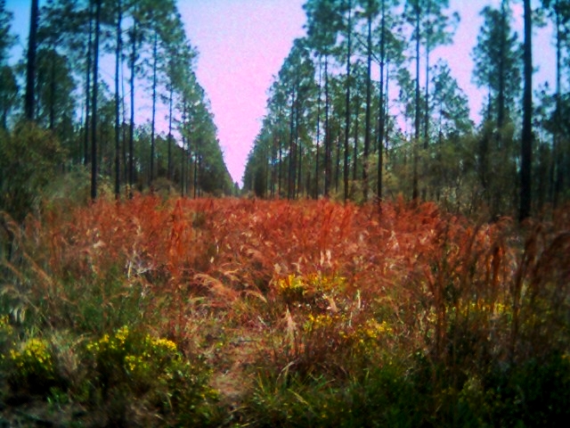
Forest Path

Sunrise on the River_IMG_0173
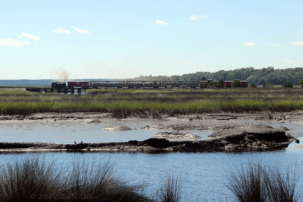
St Mary's Steam Express

Crooked River Before Sunrise_IMG_8562

Like a Dream

Crooked River State Park 16

On the River_IMG_20150502_2745

River from the Dock_IMG_8701
Row thin
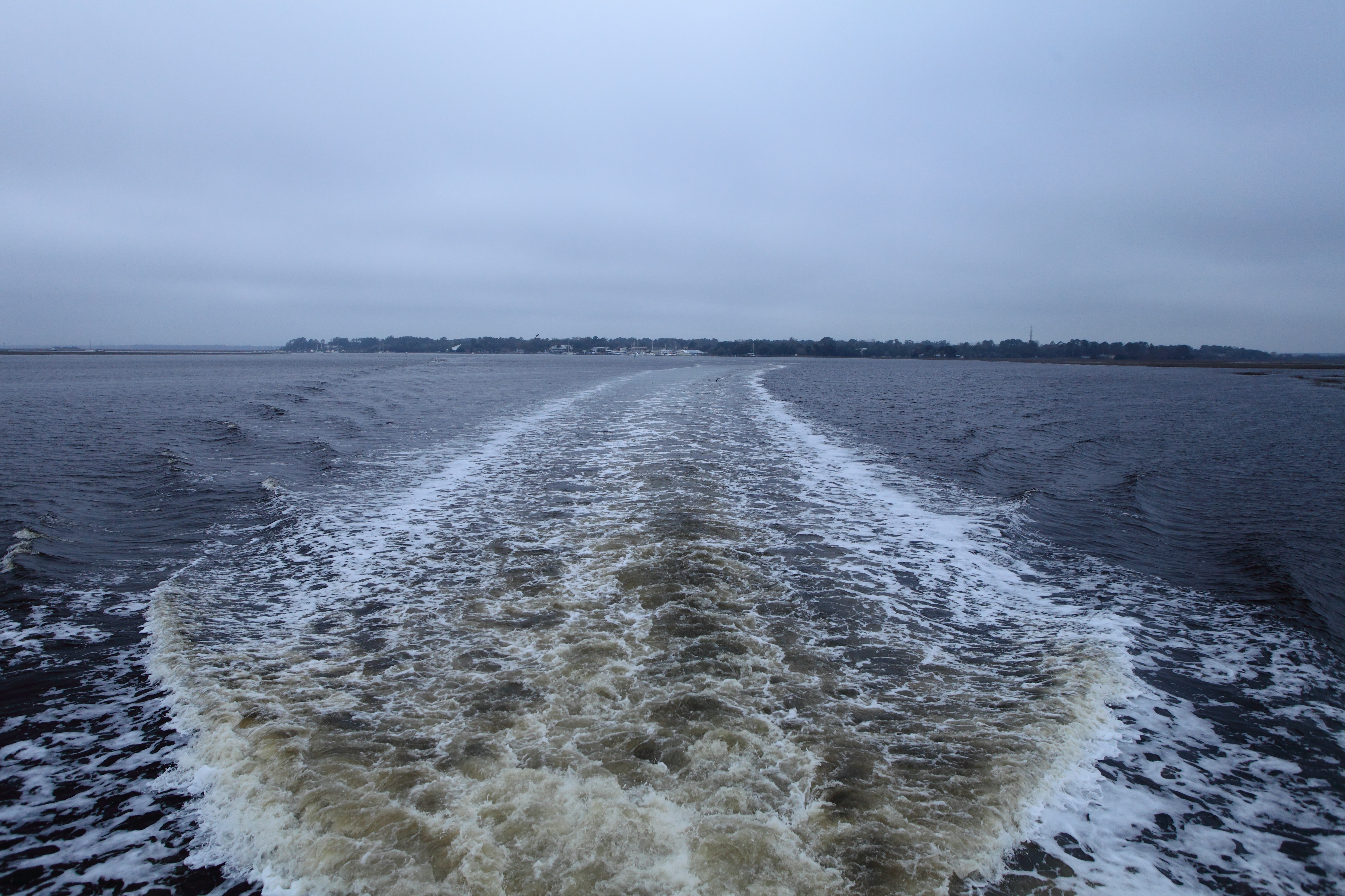
Cumberland Sound

Crooked River State Park 14

Saint Marys sunset

Salt Life

#outandabout #outdoors #outandabout_Georgia #SaintMarys #SaintMarysGA #sunset #sundown #waterfront #nature #river #park #Georgia #Southeast

2013 Project 365 - 279
Topographic Map of Gross Rd, Kingsland, GA, USA
Find elevation by address:

Places near Gross Rd, Kingsland, GA, USA:
113 Hydrangea Rd
Baytree Ct, Kingsland, GA, USA
1410 Ga-40
116 N Woodvalley Dr
Buck Island Court
Buck Island Court
Lake Shore Drive
136 Woodvalley Ct
107 Woodridge Ct S
222 Cypress Dr
Lake View Drive
220 Cypress Dr
221 Cypress Dr
208 Cypress Dr
333 Dogwood Ct
331 Dogwood Ct
11 Coastal Walk
307 Holly Ct
14 Coastal Walk
108 Mariners Dr
Recent Searches:
- Elevation of Kreuzburger Weg 13, Düsseldorf, Germany
- Elevation of Gateway Blvd SE, Canton, OH, USA
- Elevation of East W.T. Harris Boulevard, E W.T. Harris Blvd, Charlotte, NC, USA
- Elevation of West Sugar Creek, Charlotte, NC, USA
- Elevation of Wayland, NY, USA
- Elevation of Steadfast Ct, Daphne, AL, USA
- Elevation of Lagasgasan, X+CQH, Tiaong, Quezon, Philippines
- Elevation of Rojo Ct, Atascadero, CA, USA
- Elevation of Flagstaff Drive, Flagstaff Dr, North Carolina, USA
- Elevation of Avery Ln, Lakeland, FL, USA