Elevation of N Woodvalley Dr, Kingsland, GA, USA
Location: United States > Georgia > Camden County > Kingsland >
Longitude: -81.624057
Latitude: 30.7729678
Elevation: 7m / 23feet
Barometric Pressure: 101KPa
Elevation Map:
Satellite Map:
Related Photos:
step into the light

Two Generations Of Steel

Foggy morning on the St Marys River

the last to know

Grave at Sunset
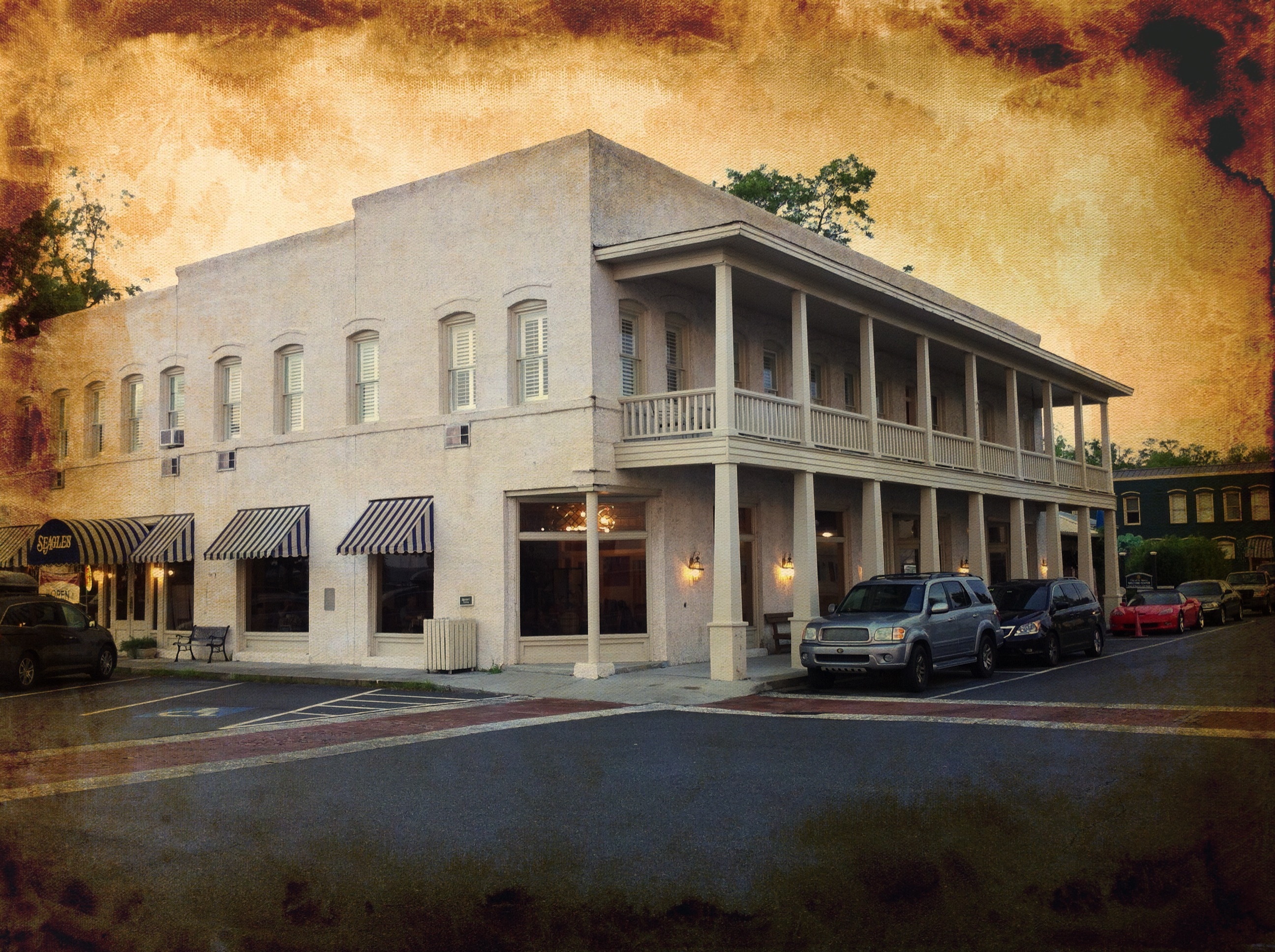
River View Hotel
DON'T FORGET THE SOUVENIRS
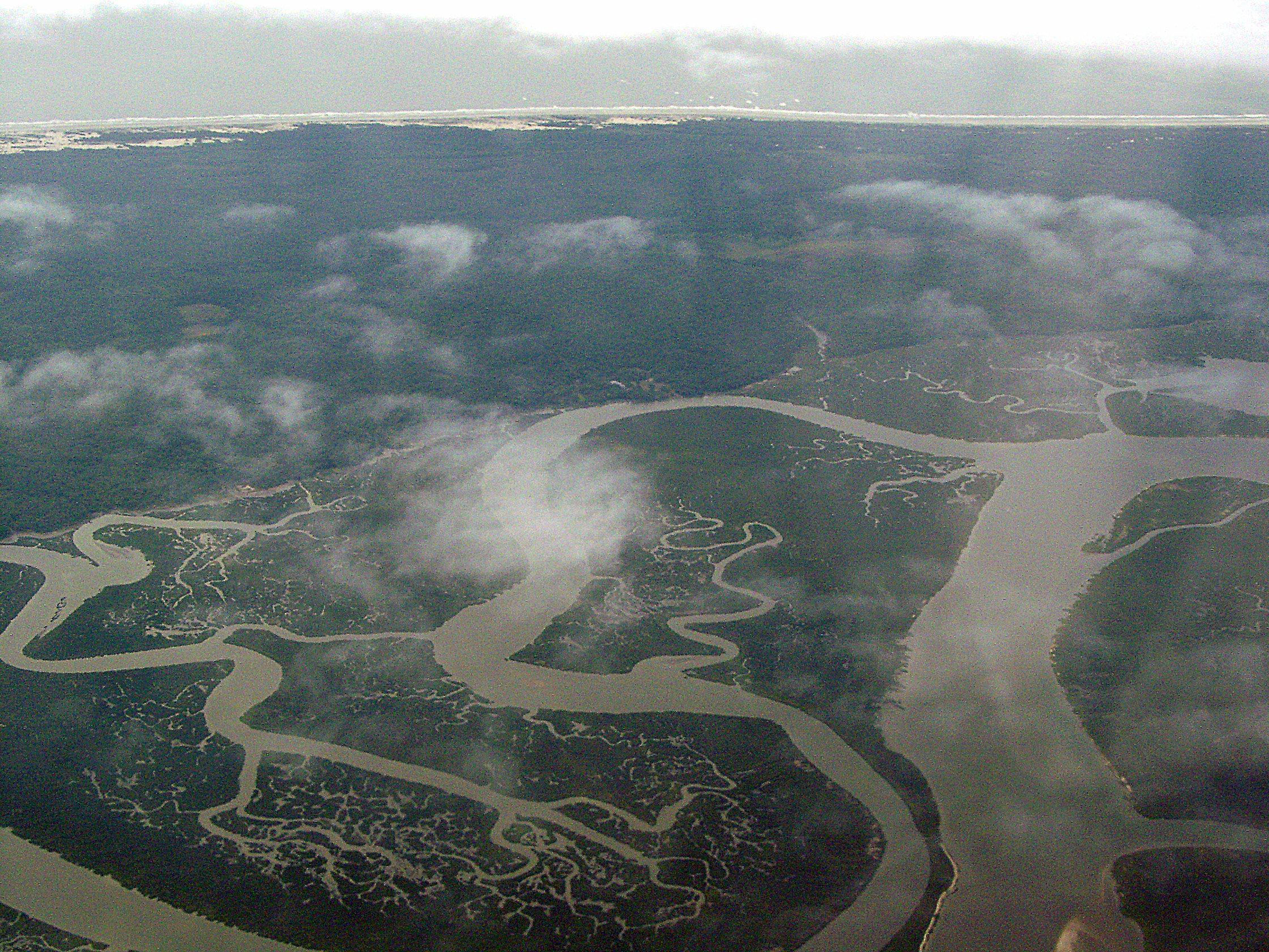
Cumberland River, Brickhill River, and Cumberland Island, Georgia

St. Marys, Georgia

View from St. Marys Steam Express
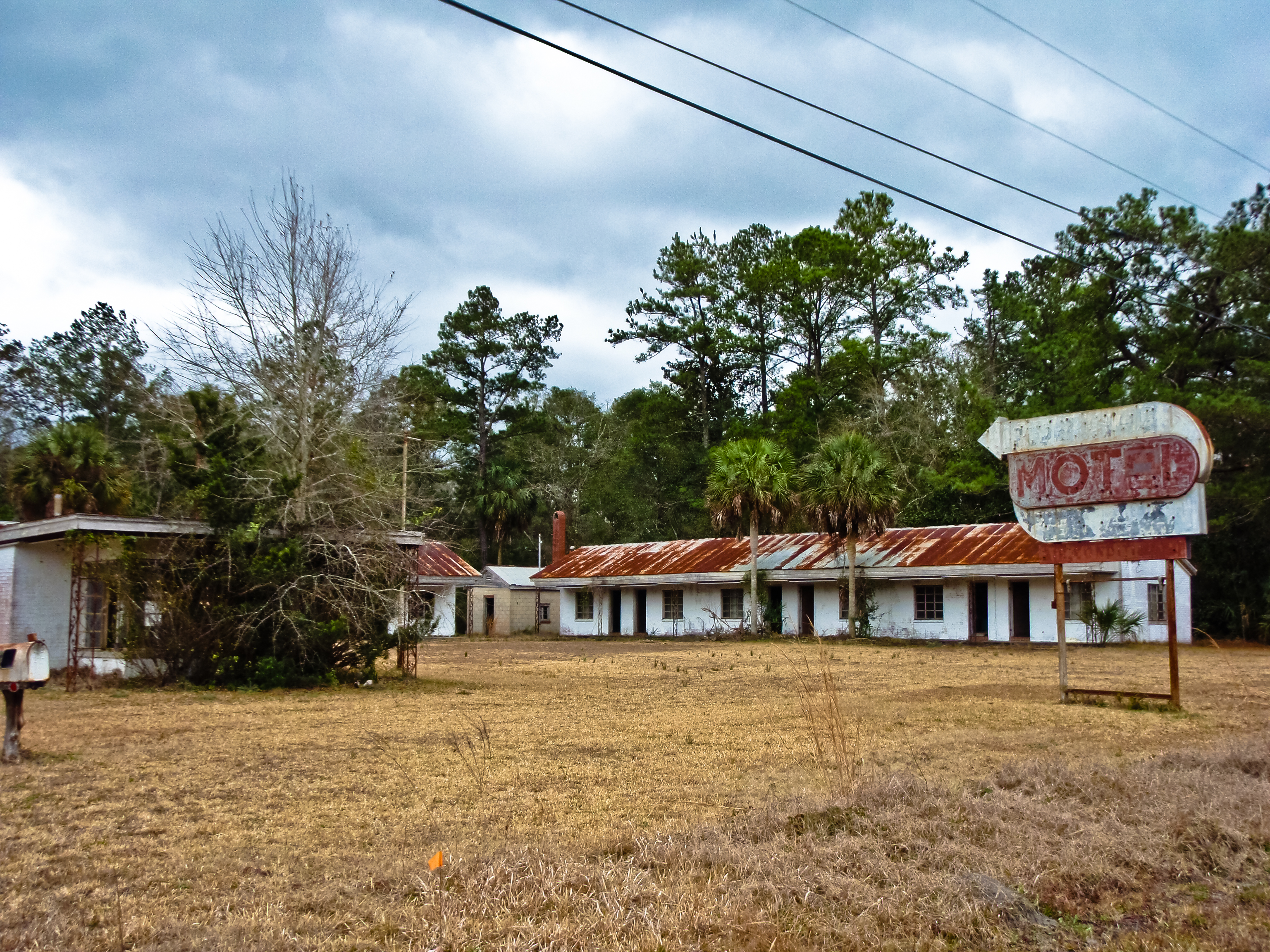
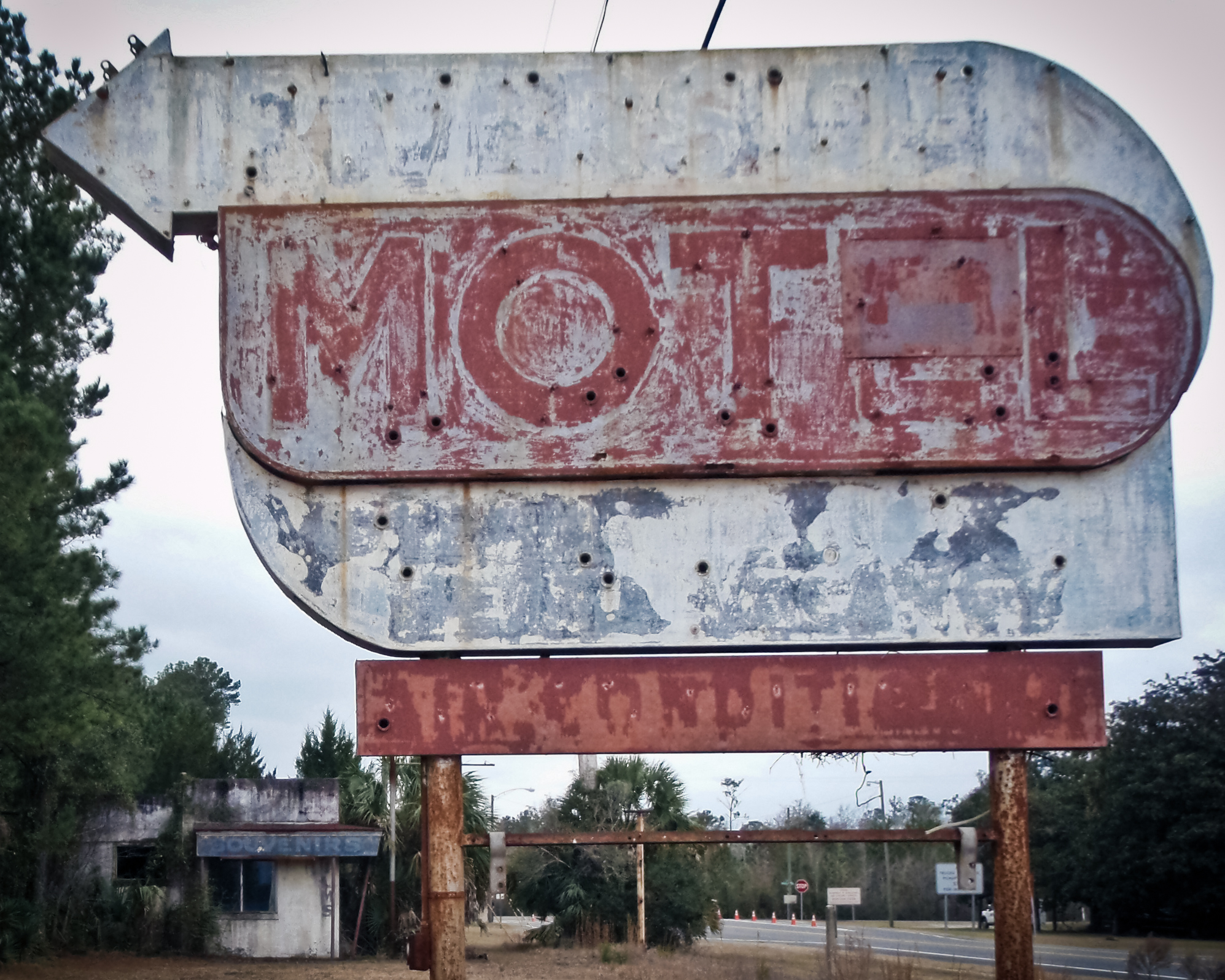
BORDER MOTEL

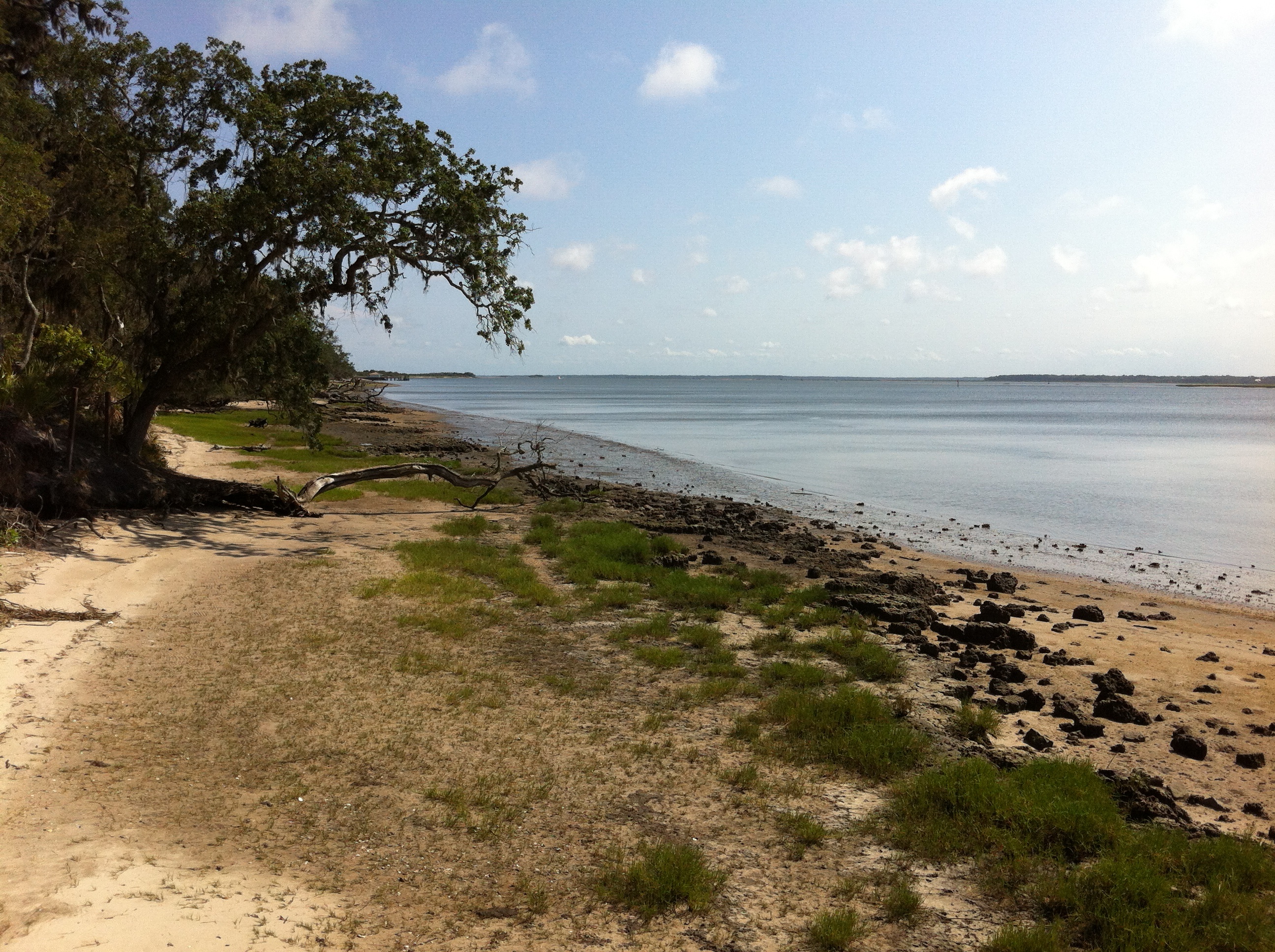
Day 1, Cumberland Island
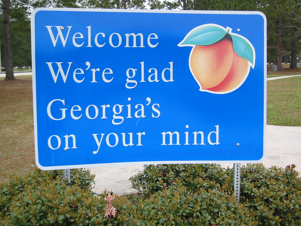
We're Glad Georgia's On Your Mind
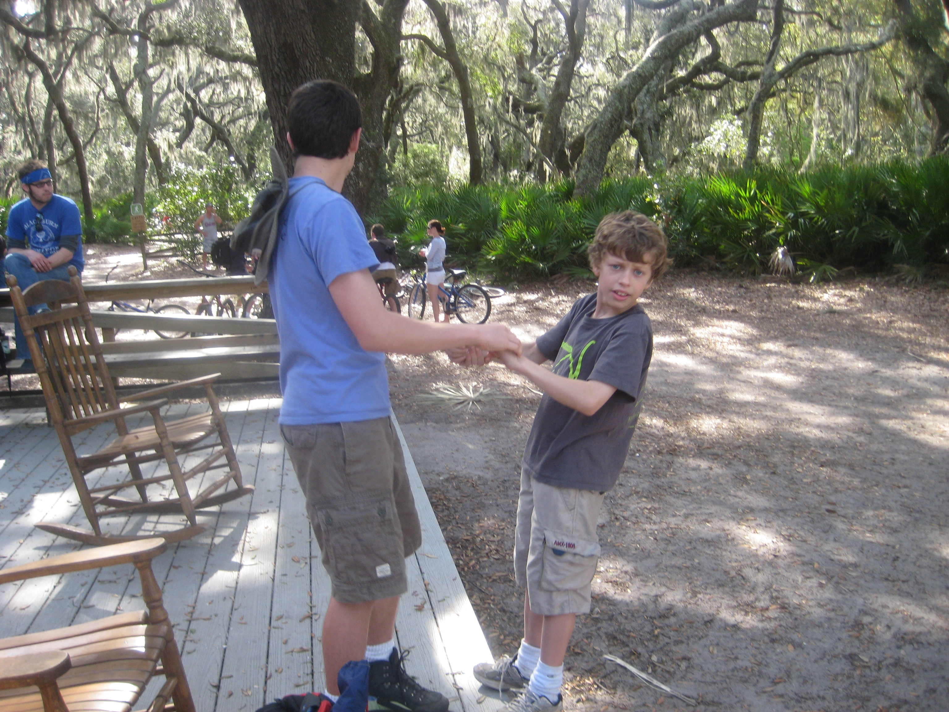
Day 1, Cumberland Island

Entering Florida

Day 1, Cumberland Island
Day 1, Cumberland Island
Sea Camp Dock View
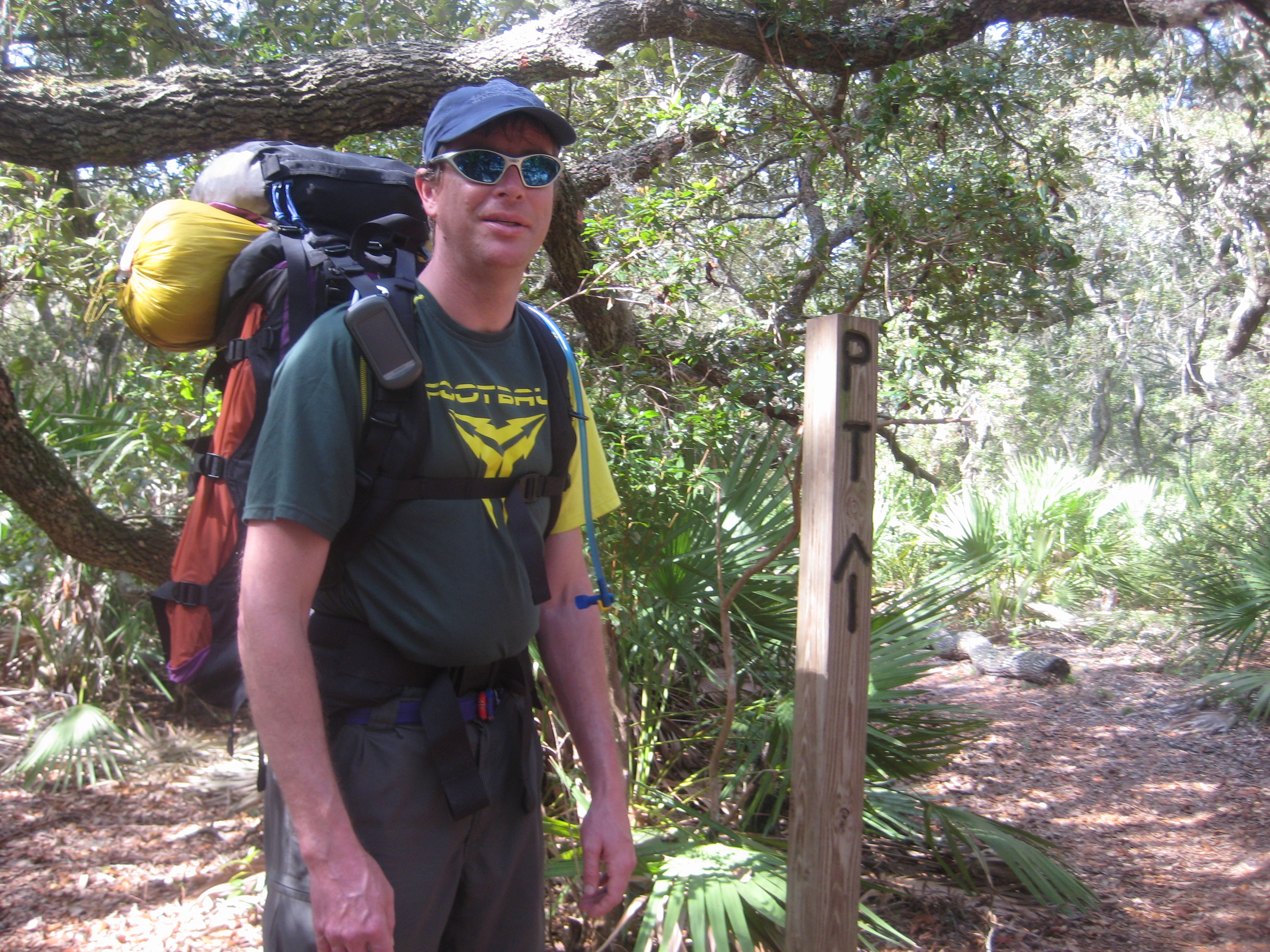
Day 1, Cumberland Island
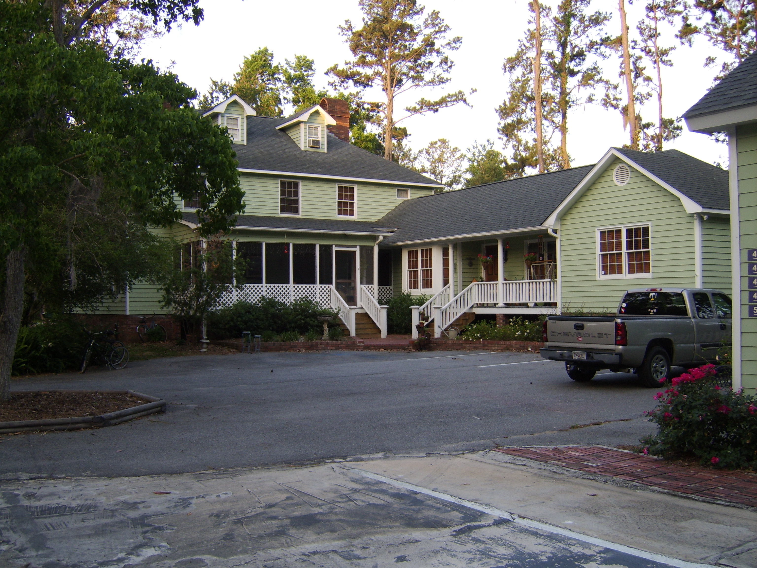
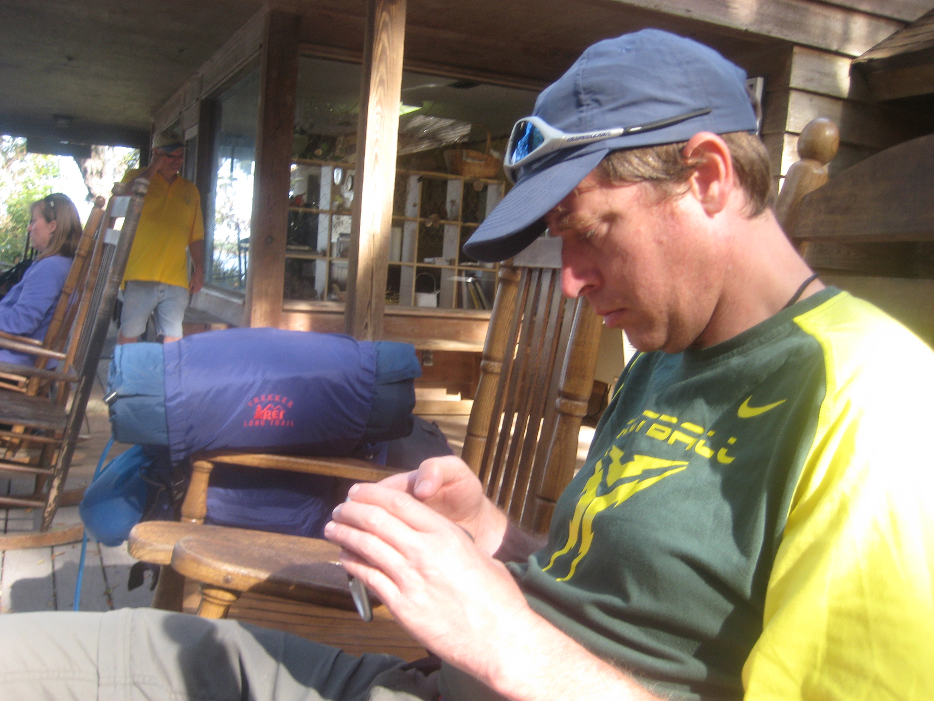
Emma's Bed and Breakfast, St. Marys, GA

Entering Florida

Last northbound run across the Marshes

A Good Sunday

Drone shot

Road to Dungeness, Cumberland Island, Georgia

Like a Dream

St Marys River
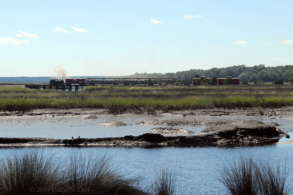
St Mary's Steam Express

Steel Truss Bridge (IR)

20140228-DSC_0007

Last September

Saturday Morning
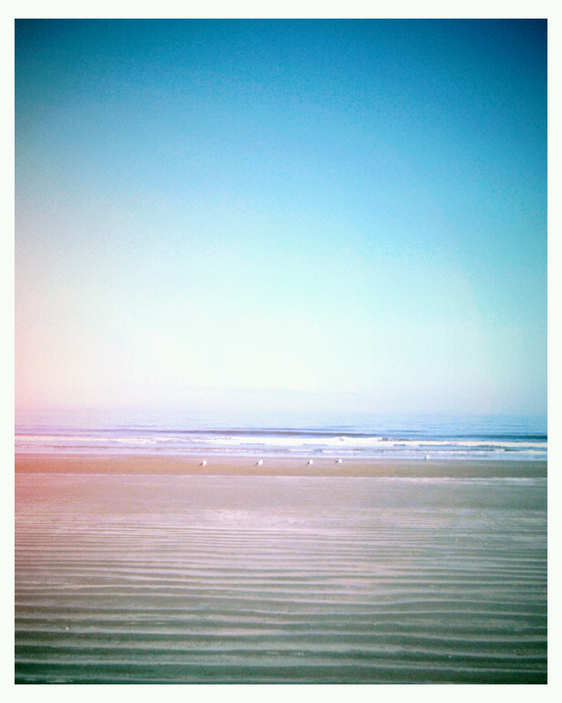
Sea Camp Beach

Sunrise drone shot

Crooked River State Park 16
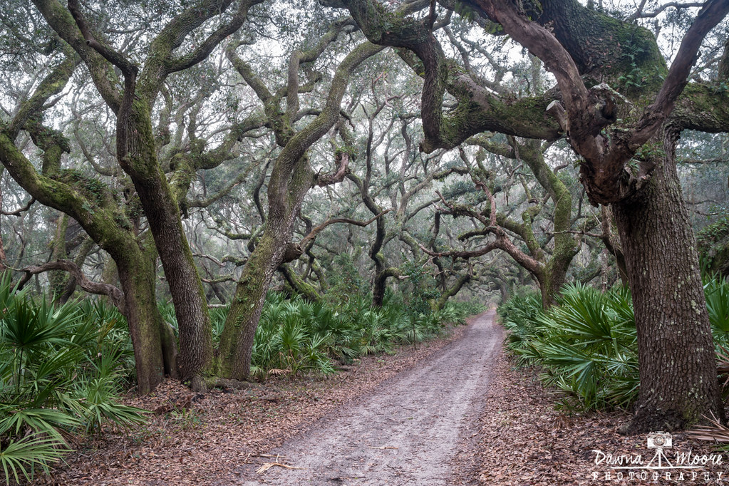
Cumberland Island Maritime Forest, Cumberland Island, Georgia

Cumberland Sunrise, Cumberland Island, Georgia
Row thin
#honeymoon #alissalovesjake #water
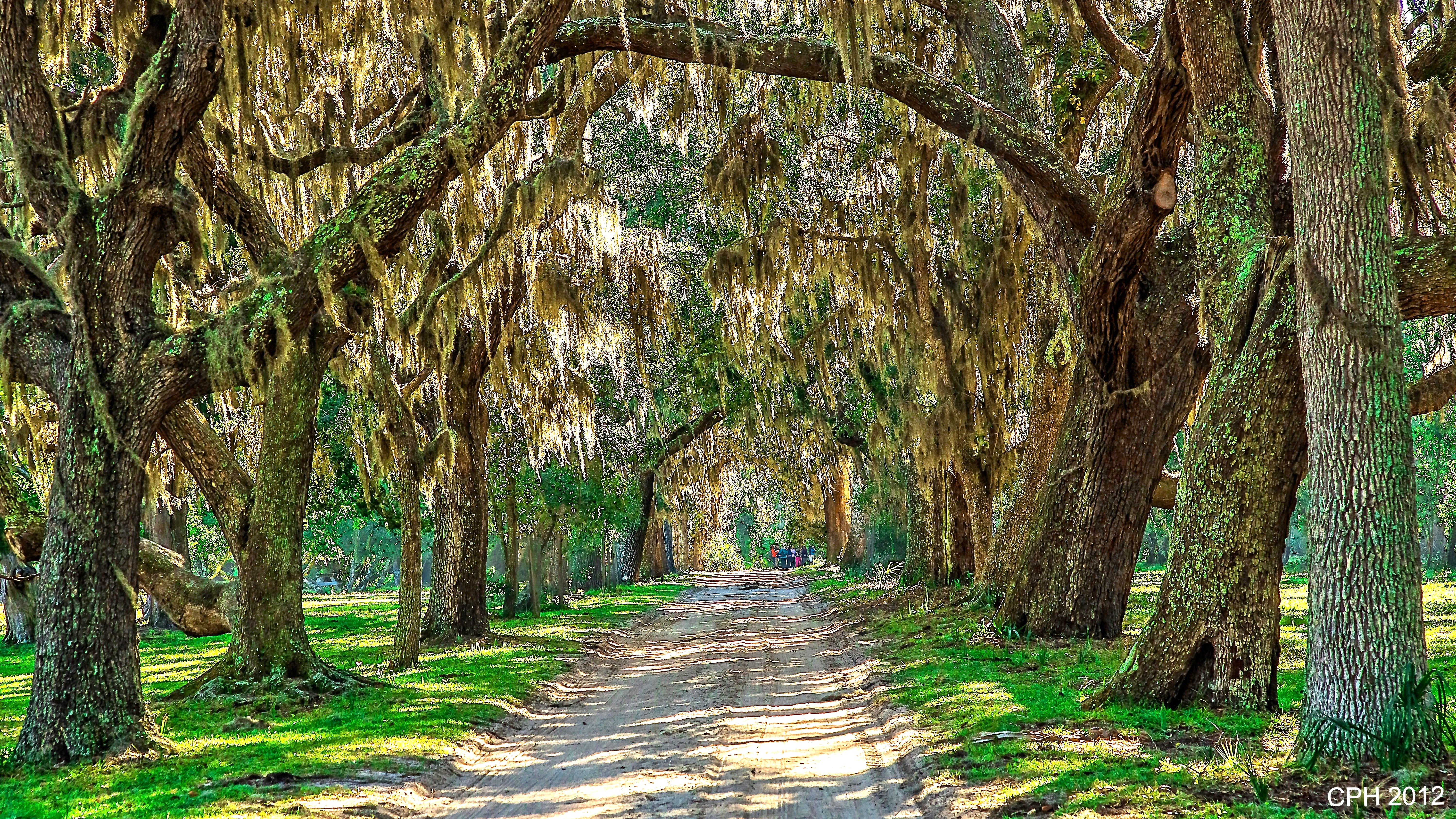
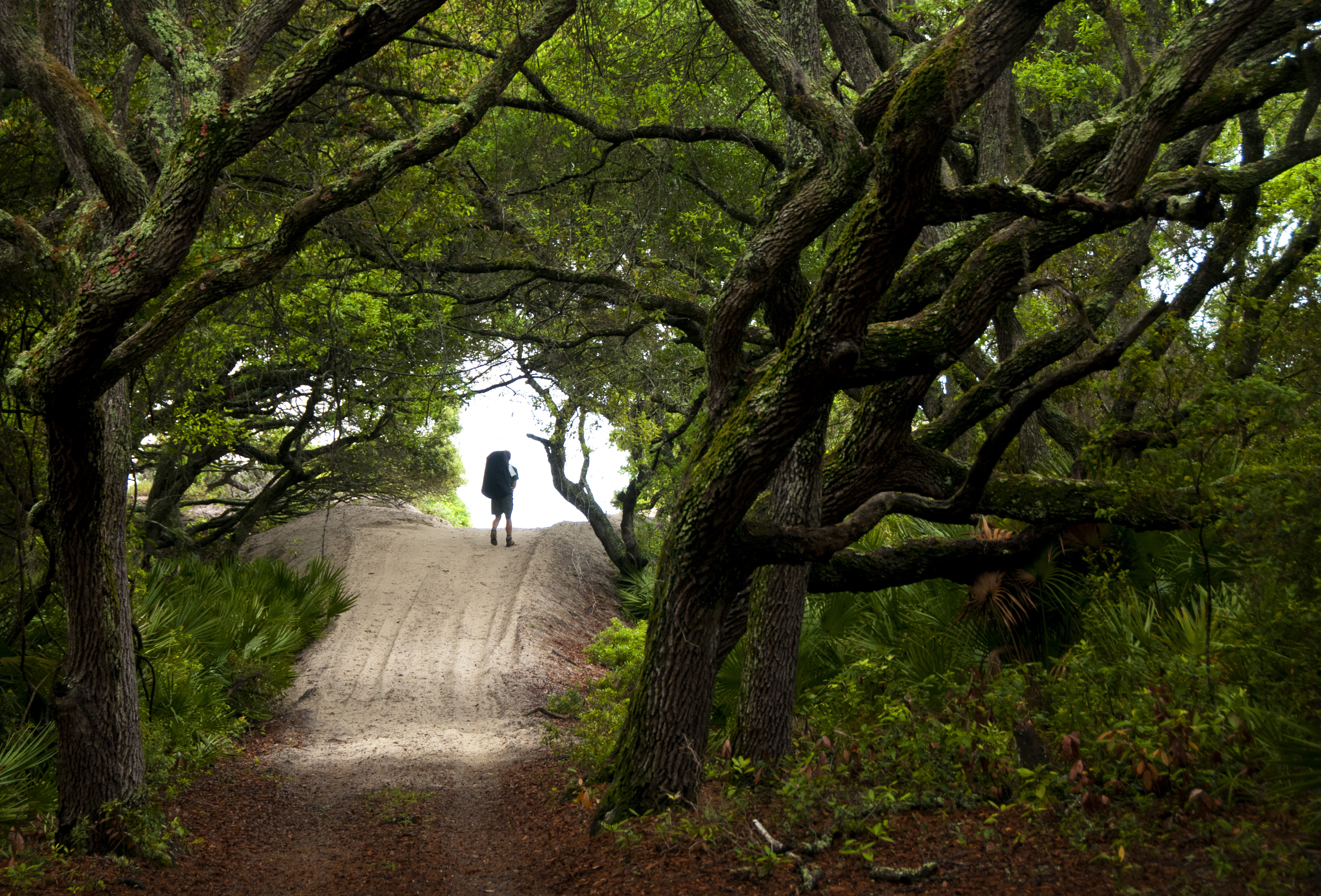
465) St Marys GA, Cumberland Island - Coleman Avenue - tree canopy leading to Grand Avenue [408]
Topographic Map of N Woodvalley Dr, Kingsland, GA, USA
Find elevation by address:

Places near N Woodvalley Dr, Kingsland, GA, USA:
Buck Island Court
Buck Island Court
136 Woodvalley Ct
107 Woodridge Ct S
222 Cypress Dr
220 Cypress Dr
221 Cypress Dr
208 Cypress Dr
Lake View Drive
307 Holly Ct
331 Dogwood Ct
333 Dogwood Ct
108 Mariners Dr
223 Lakemont Dr
Lake Shore Drive
11 Coastal Walk
14 Coastal Walk
1410 Ga-40
162 Gross Rd
Baytree Ct, Kingsland, GA, USA
Recent Searches:
- Elevation of Bernina Dr, Lake Arrowhead, CA, USA
- Elevation of N 82nd Pl, Mesa, AZ, USA
- Elevation of Snake Hill Rd, North Scituate, RI, USA
- Elevation of Lake Shore Dr, Warwick, RI, USA
- Elevation of E Brightview Ave, Pittsburgh, PA, USA
- Elevation of Cavendish Rd, Harringay Ladder, London N4 1RR, UK
- Elevation of 1 Zion Park Blvd, Springdale, UT, USA
- Elevation of Ganderbal
- Elevation map of Konkan Division, Maharashtra, India
- Elevation of Netaji Nagar, Hallow Pul, Kurla, Mumbai, Maharashtra, India