Elevation of Zeniff, AZ, USA
Location: United States > Arizona > Navajo County >
Longitude: -110.37817
Latitude: 34.5772558
Elevation: -10000m / -32808feet
Barometric Pressure: 295KPa
Elevation Map:
Satellite Map:
Related Photos:

Distant view of Dry Lake Wind, Phase 1

Delta Airlines B757 Above Zeniff, AZ

APA 99, SB, MP34, SNOWFLAKE, AZ 10-3-16

APA 82, SNOWFLAKE, AZ 2-13-18

Dodging the Raindrops

Heading Out

APA 99, SB, MP 34, SNOWFLAKE, AZ 3-3-15
APA 98, SB, SNOWFLAKE, AZ 4-3-18

APA 98, SB, SNOWFLAKE, AZ 11-24-15

Blowin'

Apache RY Local

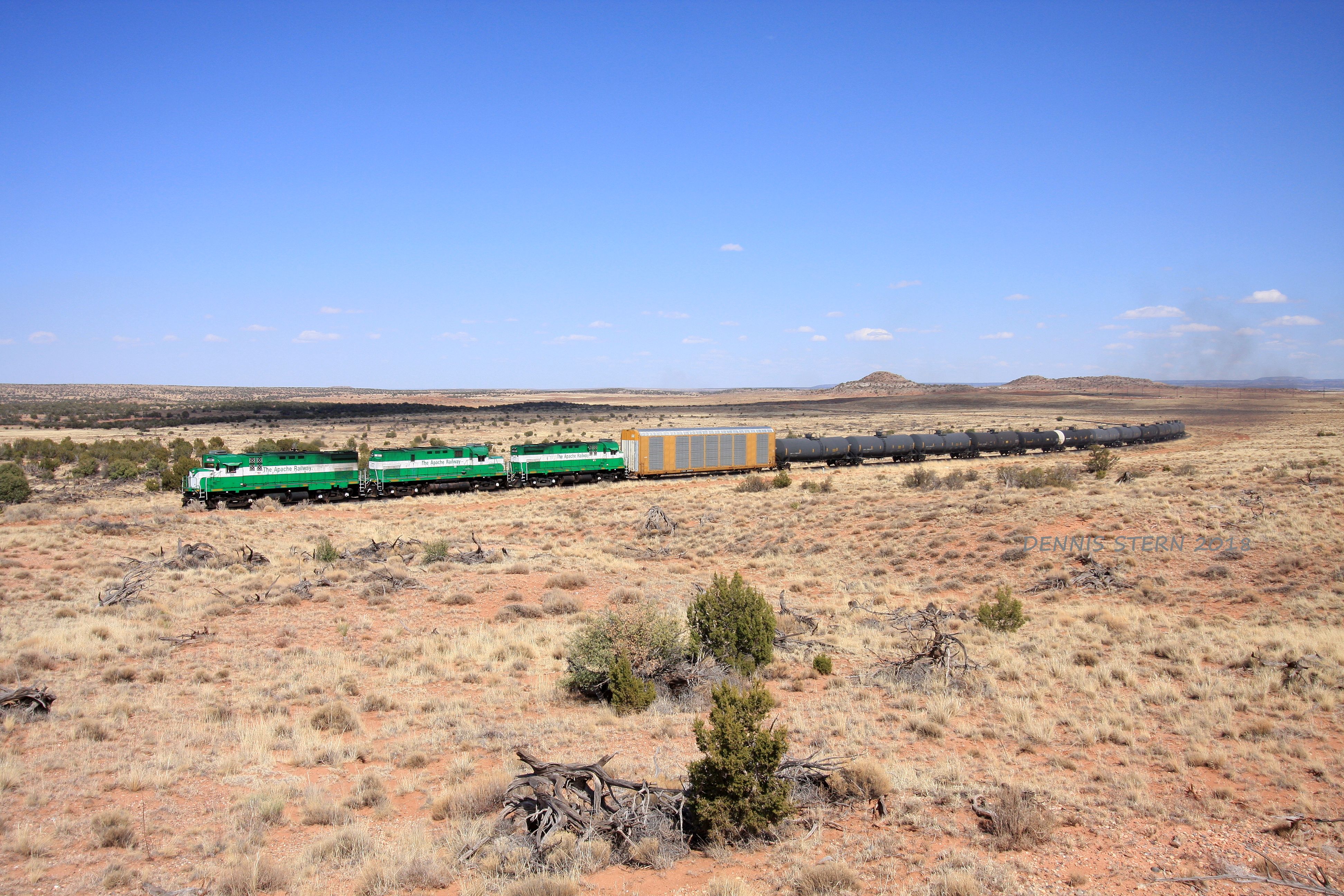
Apache RY Power

2018-05-17_04-52-28
Topographic Map of Zeniff, AZ, USA
Find elevation by address:

Places near Zeniff, AZ, USA:
Newlife Forest Products, Llc
Navajo Drive
2237 Chevelon Rd
3330 Navajo Dr
Morning Glory St, Show Low, AZ, USA
2294 Thunderbird Way
2729 Bison Ranch Rd
2800 Sky Hawk Dr
Bison Ranch Condos
Bison Ranch Retreat Center
2865 Buck Ln
Heber-overgaard
3667 Pine Rim Dr
2714 Stagecoach Blvd
2213 Rodeo Rd
Overgaard
Heber
2772 Canyon Ridge
2085 Ponderosa Tr
90 W Country Club Dr
Recent Searches:
- Elevation of Corso Fratelli Cairoli, 35, Macerata MC, Italy
- Elevation of Tallevast Rd, Sarasota, FL, USA
- Elevation of 4th St E, Sonoma, CA, USA
- Elevation of Black Hollow Rd, Pennsdale, PA, USA
- Elevation of Oakland Ave, Williamsport, PA, USA
- Elevation of Pedrógão Grande, Portugal
- Elevation of Klee Dr, Martinsburg, WV, USA
- Elevation of Via Roma, Pieranica CR, Italy
- Elevation of Tavkvetili Mountain, Georgia
- Elevation of Hartfords Bluff Cir, Mt Pleasant, SC, USA