Elevation of Rodeo Rd, Heber, AZ, USA
Location: United States > Arizona > Navajo County > Overgaard >
Longitude: -110.5459767
Latitude: 34.3869768
Elevation: 2014m / 6608feet
Barometric Pressure: 0KPa
Related Photos:

Summer Storms

Northern Flicker

Pygmy Nuthatch eating sunflower seed
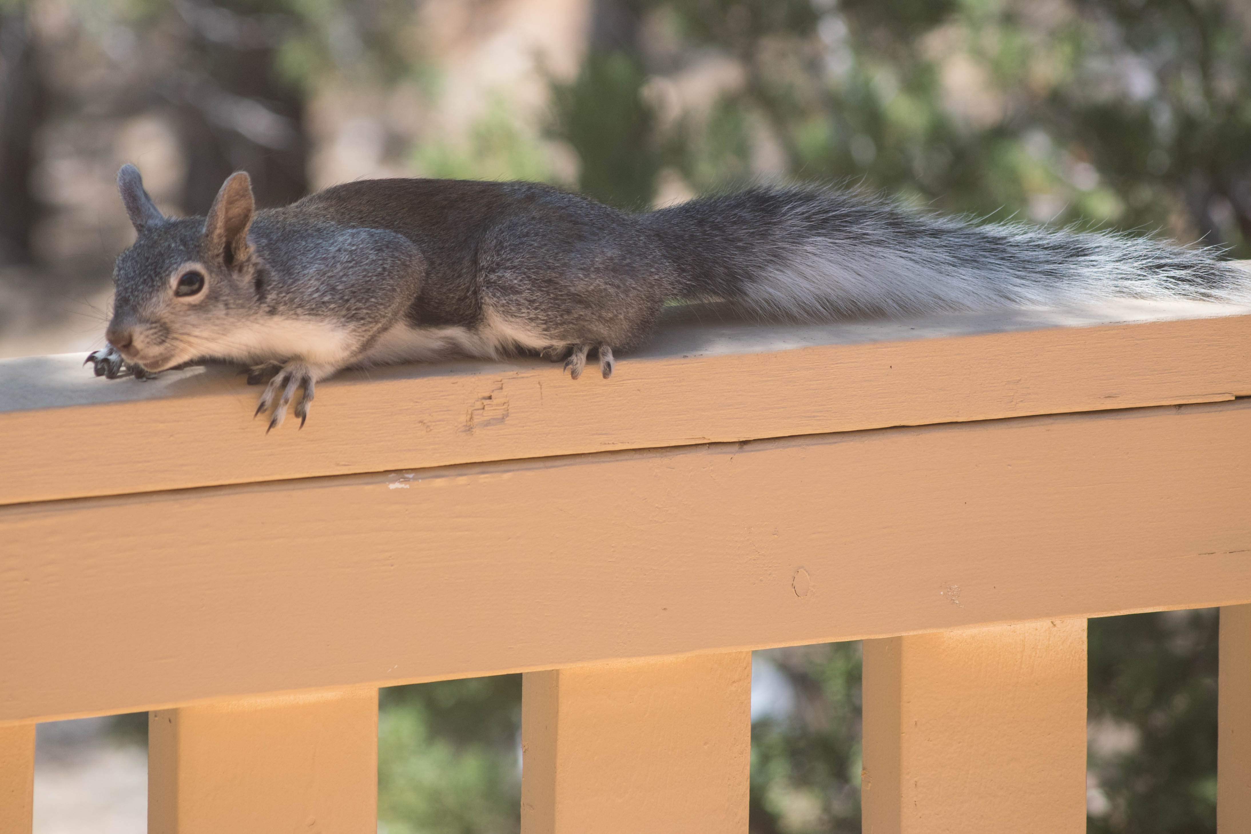
Gray Squirrel

Gray Squirrel

Gray Squirrel

Black-headed Grosbeak

Hairy Woodpecker

Hairy Woodpecker

Abert's Squirrel

Abert's Squirrel

Hairy Woodpecker

Abert's Squirrel

Black-headed Grosbeak

Hairy Woodpeckers

Steller's Jay

Gray Squirrel

Pygmy Nuthatch

Gray Squirrel

Abert's squirrel

Abert's Squirrel
Topographic Map of Rodeo Rd, Heber, AZ, USA
Find elevation by address:

Places near Rodeo Rd, Heber, AZ, USA:
2714 Stagecoach Blvd
Overgaard
2800 Sky Hawk Dr
Bison Ranch Condos
2294 Thunderbird Way
2865 Buck Ln
2729 Bison Ranch Rd
Bison Ranch Retreat Center
2712 Lost Way
2772 Canyon Ridge
2085 Ponderosa Tr
2237 Chevelon Rd
Heber-overgaard
3330 Navajo Dr
Navajo Drive
1975 Artist Draw Rd
3667 Pine Rim Dr
Heber
1775 Canyon Dr
3323 Bear Heights
Recent Searches:
- Elevation map of Greenland, Greenland
- Elevation of Sullivan Hill, New York, New York, 10002, USA
- Elevation of Morehead Road, Withrow Downs, Charlotte, Mecklenburg County, North Carolina, 28262, USA
- Elevation of 2800, Morehead Road, Withrow Downs, Charlotte, Mecklenburg County, North Carolina, 28262, USA
- Elevation of Yangbi Yi Autonomous County, Yunnan, China
- Elevation of Pingpo, Yangbi Yi Autonomous County, Yunnan, China
- Elevation of Mount Malong, Pingpo, Yangbi Yi Autonomous County, Yunnan, China
- Elevation map of Yongping County, Yunnan, China
- Elevation of North 8th Street, Palatka, Putnam County, Florida, 32177, USA
- Elevation of 107, Big Apple Road, East Palatka, Putnam County, Florida, 32131, USA
- Elevation of Jiezi, Chongzhou City, Sichuan, China
- Elevation of Chongzhou City, Sichuan, China
- Elevation of Huaiyuan, Chongzhou City, Sichuan, China
- Elevation of Qingxia, Chengdu, Sichuan, China
- Elevation of Corso Fratelli Cairoli, 35, Macerata MC, Italy
- Elevation of Tallevast Rd, Sarasota, FL, USA
- Elevation of 4th St E, Sonoma, CA, USA
- Elevation of Black Hollow Rd, Pennsdale, PA, USA
- Elevation of Oakland Ave, Williamsport, PA, USA
- Elevation of Pedrógão Grande, Portugal