Elevation of Canyon Dr, Show Low, AZ, USA
Location: United States > Arizona > Navajo County > Show Low >
Longitude: -110.604712
Latitude: 34.418382
Elevation: 2019m / 6624feet
Barometric Pressure: 0KPa
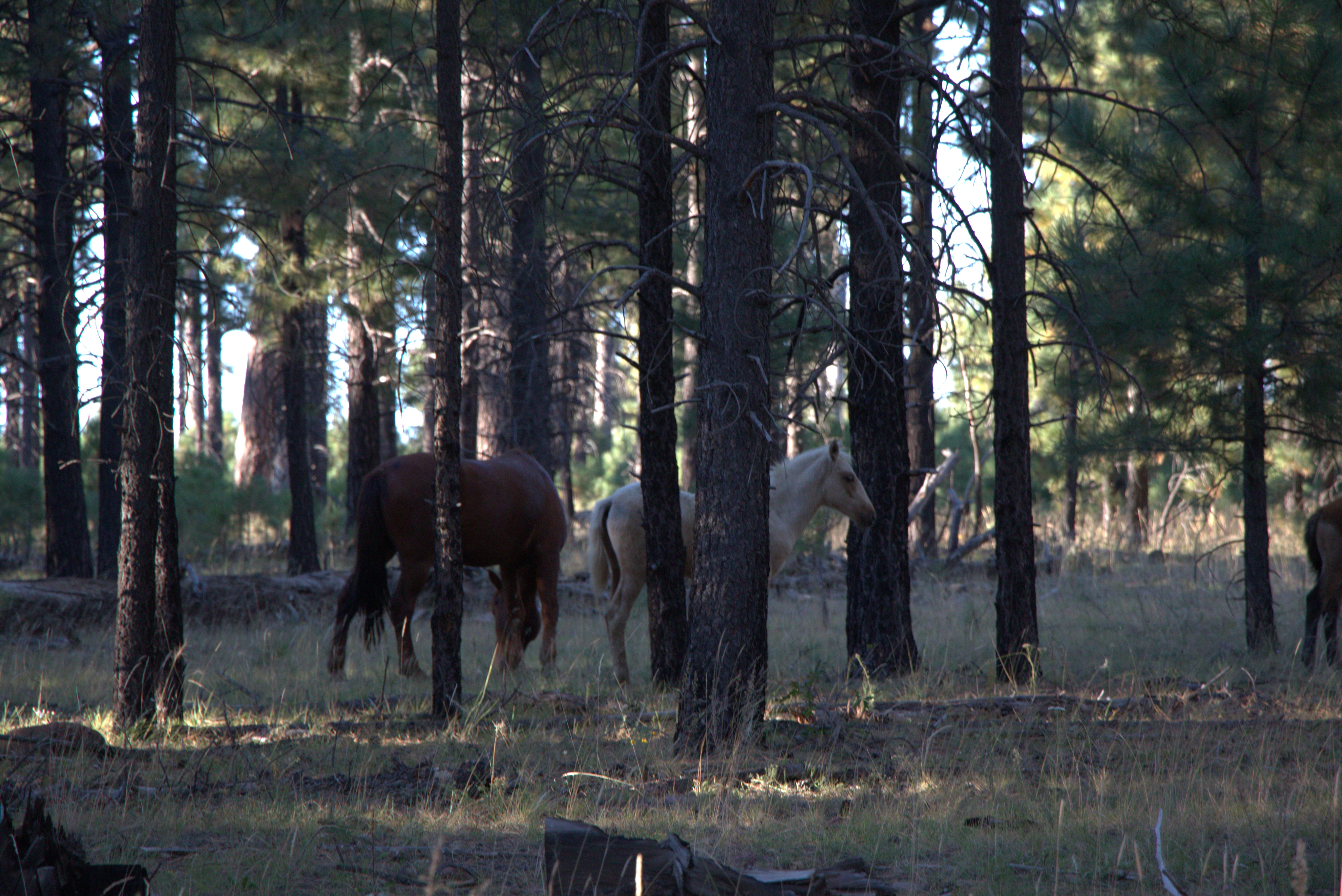
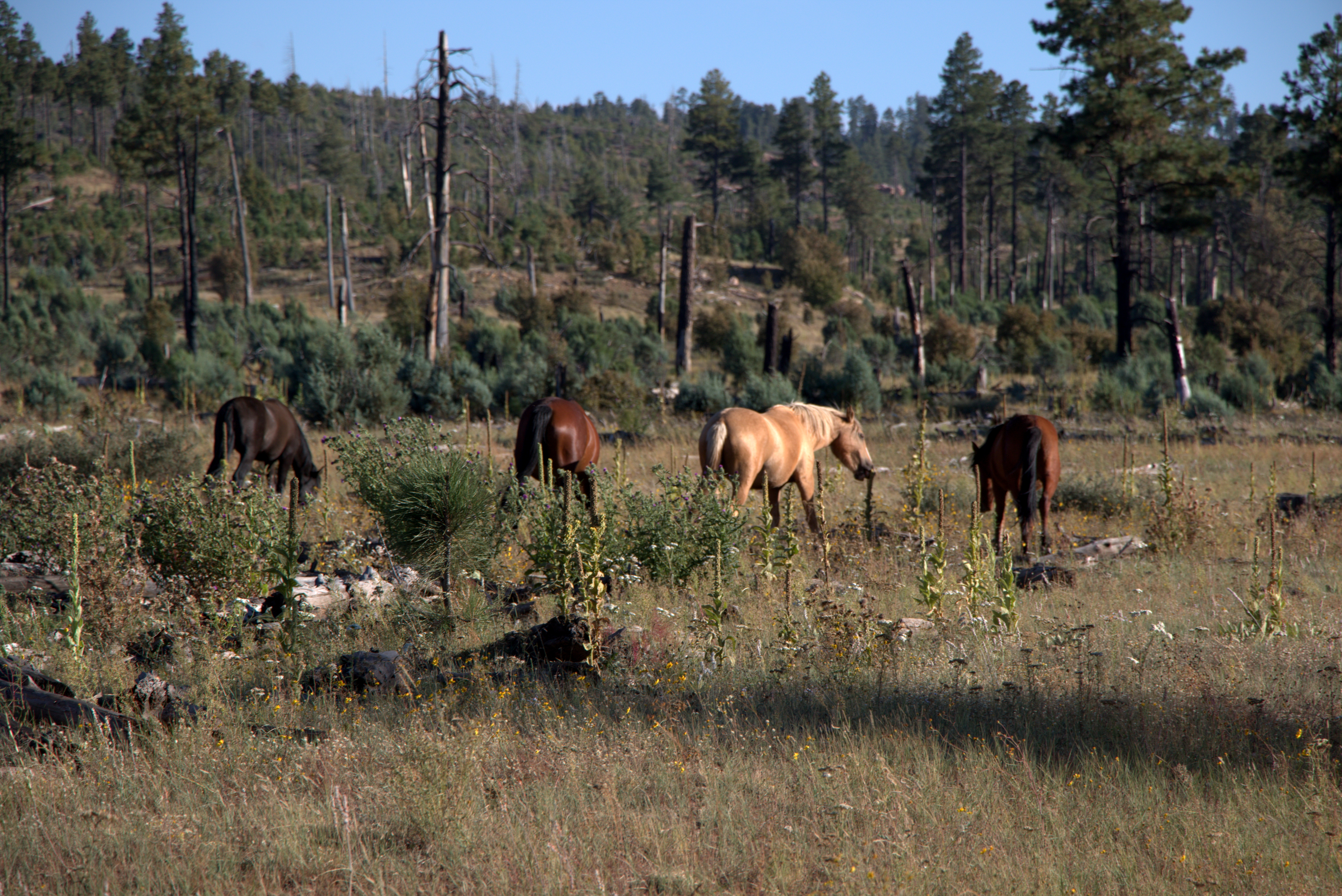
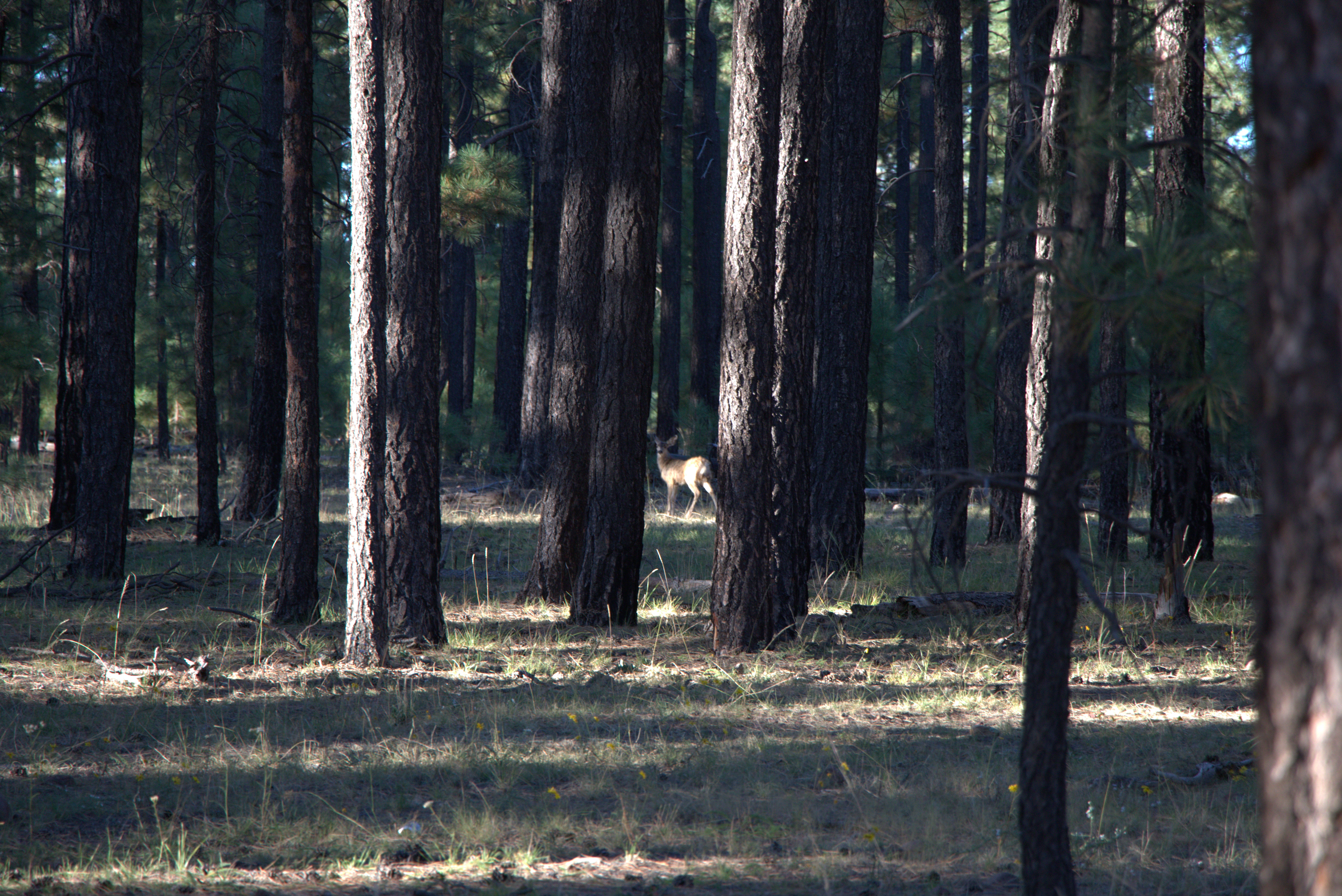
Related Photos:

Bison Buildings

Bokeh Test

Me & Kristen
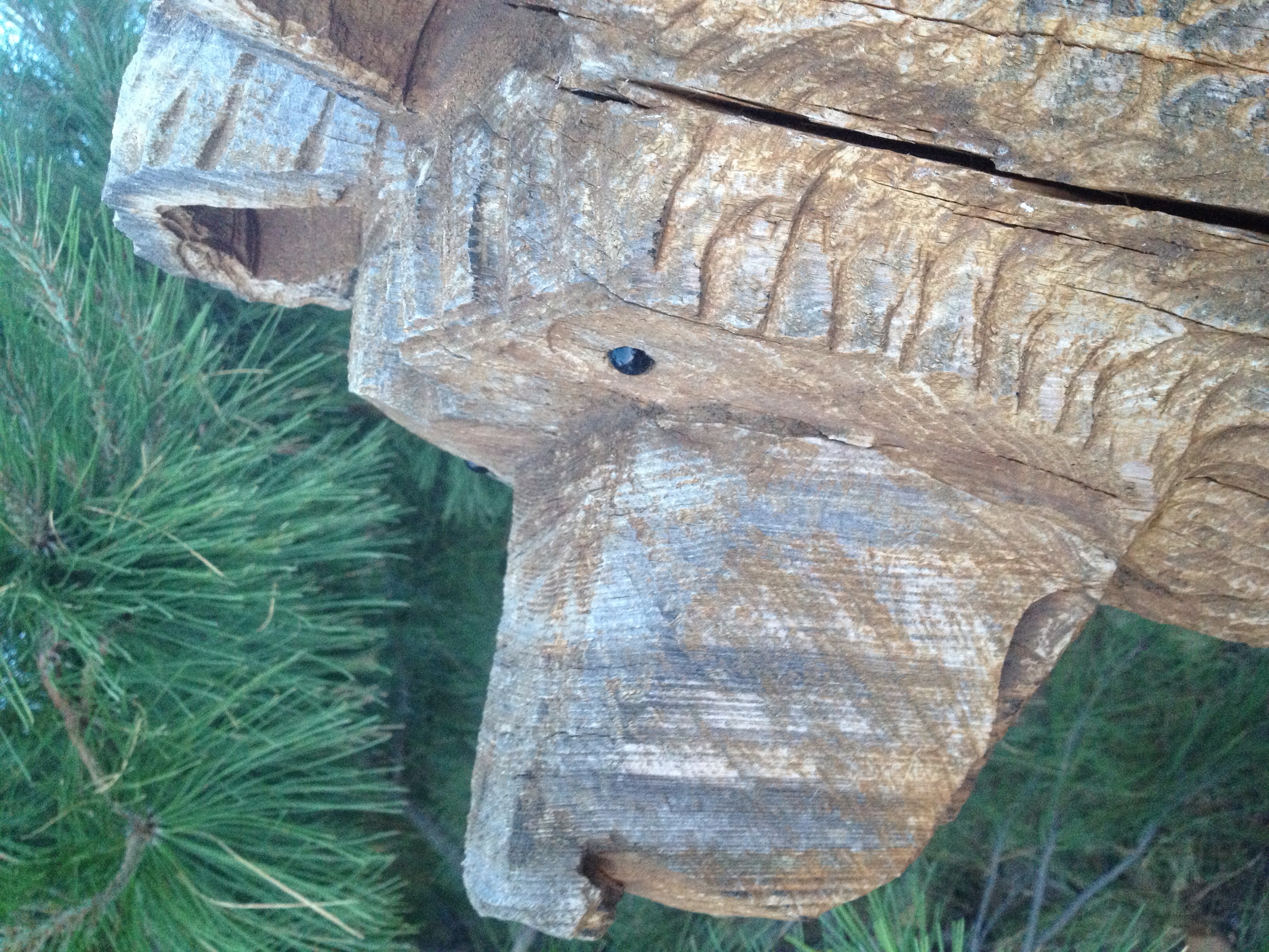
From a bears view.

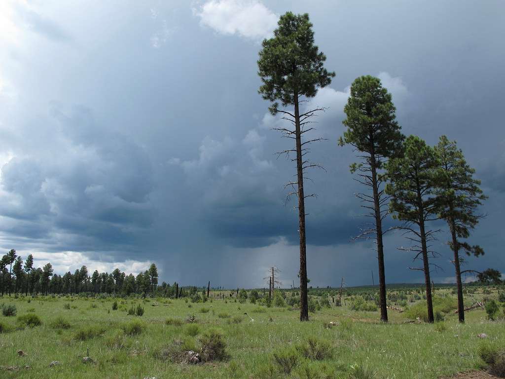
Summer Storms
Plateau Downpour

Approaching Storm
2018-05-17_04-52-28

IMG_4829.CR2
IMG_4831.CR2
IMG_4895.CR2

IMG_4874.CR2

IMG_4832.CR2
IMG_4866.CR2
IMG_4882.CR2

IMG_4837.CR2
Topographic Map of Canyon Dr, Show Low, AZ, USA
Find elevation by address:

Places near Canyon Dr, Show Low, AZ, USA:
3323 Bear Heights
1748 Memorial Park Rd
Heber
3462 Highland Dr
1975 Artist Draw Rd
3667 Pine Rim Dr
2085 Ponderosa Tr
2772 Canyon Ridge
Heber-overgaard
2712 Lost Way
3330 Navajo Dr
Navajo Drive
Overgaard
2865 Buck Ln
2237 Chevelon Rd
2213 Rodeo Rd
2714 Stagecoach Blvd
2800 Sky Hawk Dr
2294 Thunderbird Way
Arizona 260
Recent Searches:
- Elevation map of Greenland, Greenland
- Elevation of Sullivan Hill, New York, New York, 10002, USA
- Elevation of Morehead Road, Withrow Downs, Charlotte, Mecklenburg County, North Carolina, 28262, USA
- Elevation of 2800, Morehead Road, Withrow Downs, Charlotte, Mecklenburg County, North Carolina, 28262, USA
- Elevation of Yangbi Yi Autonomous County, Yunnan, China
- Elevation of Pingpo, Yangbi Yi Autonomous County, Yunnan, China
- Elevation of Mount Malong, Pingpo, Yangbi Yi Autonomous County, Yunnan, China
- Elevation map of Yongping County, Yunnan, China
- Elevation of North 8th Street, Palatka, Putnam County, Florida, 32177, USA
- Elevation of 107, Big Apple Road, East Palatka, Putnam County, Florida, 32131, USA
- Elevation of Jiezi, Chongzhou City, Sichuan, China
- Elevation of Chongzhou City, Sichuan, China
- Elevation of Huaiyuan, Chongzhou City, Sichuan, China
- Elevation of Qingxia, Chengdu, Sichuan, China
- Elevation of Corso Fratelli Cairoli, 35, Macerata MC, Italy
- Elevation of Tallevast Rd, Sarasota, FL, USA
- Elevation of 4th St E, Sonoma, CA, USA
- Elevation of Black Hollow Rd, Pennsdale, PA, USA
- Elevation of Oakland Ave, Williamsport, PA, USA
- Elevation of Pedrógão Grande, Portugal