Elevation of YUC 1a, Yucatán, Mexico
Location: Mexico > Yucatan > Yaxcabá >
Longitude: -88.809920
Latitude: 20.7068468
Elevation: 24m / 79feet
Barometric Pressure: 101KPa
Elevation Map:
Satellite Map:
Related Photos:

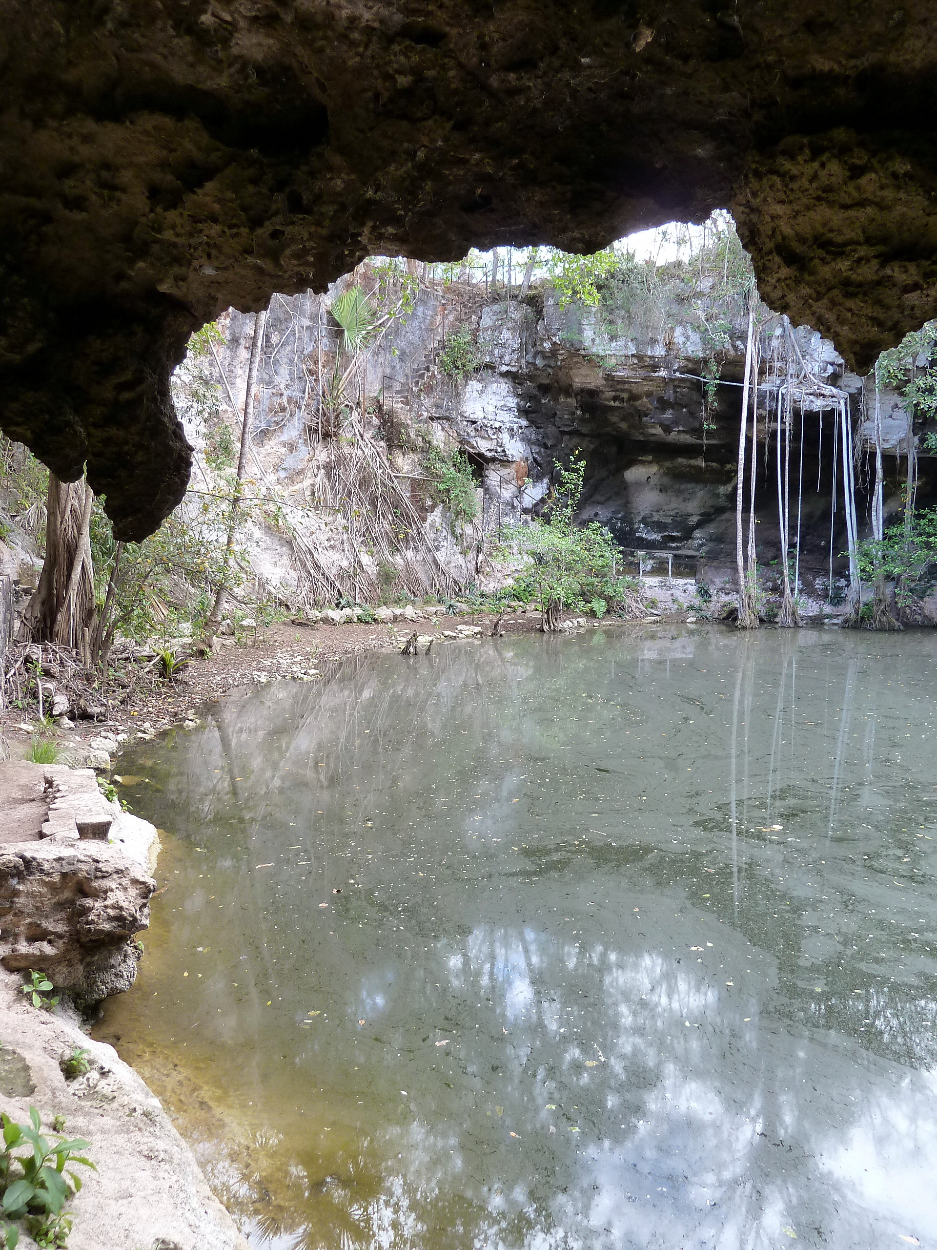
Cenote Chihuan

Cenote Chihuan

Cenote Chihuan
Cenote Xtojil

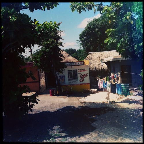
town of Holca Cantunil

town of Holca Cantunil

Cenote Chihuan
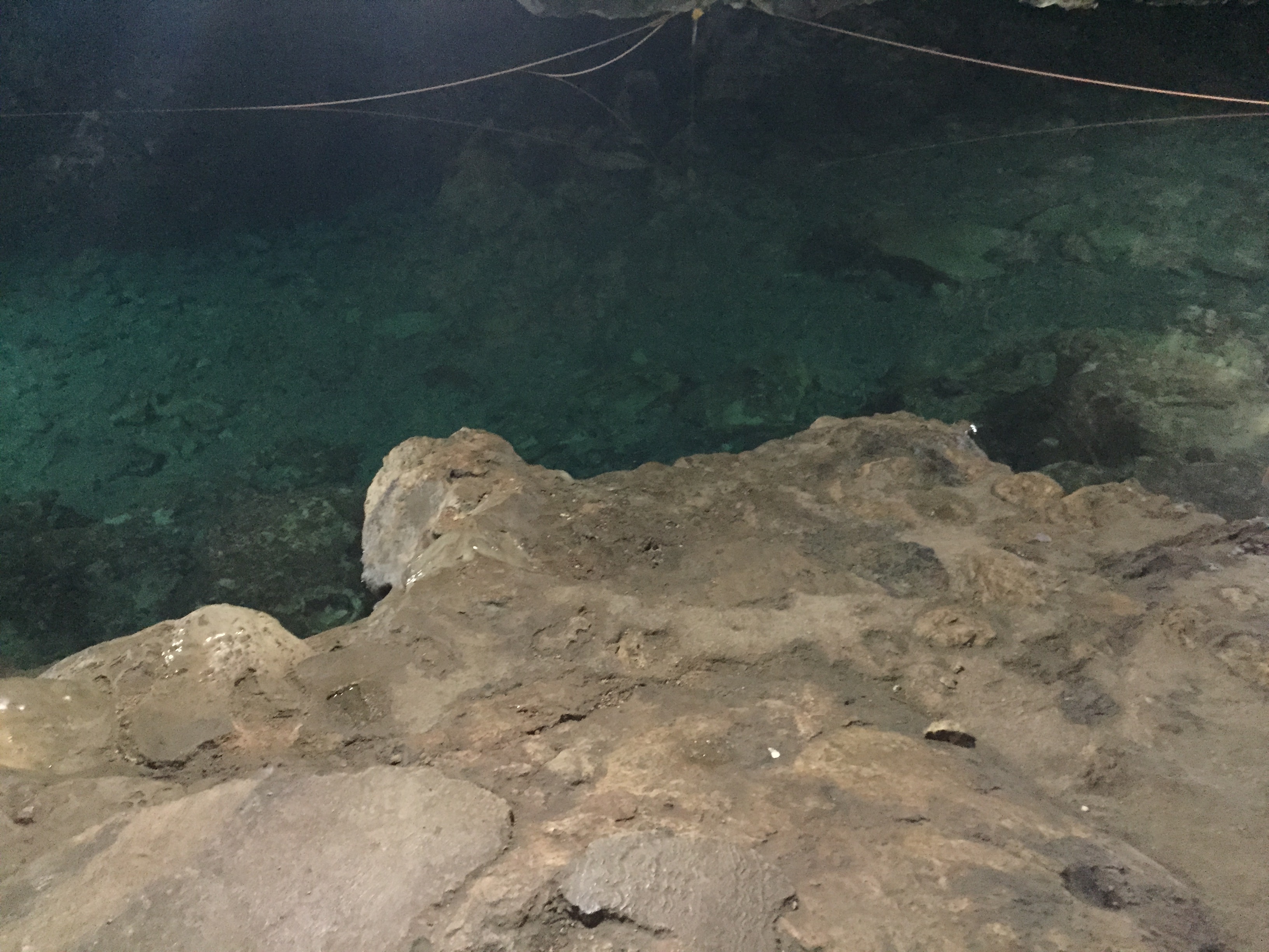
Cenote Chihuan

Cenote Chihuan

Cenote Chihuan

Cenote Chihuan

Emerging from the shadow

tabi 1756 ch

tabi 1810 ch

Libre Unión, Mexico
On the bus to chichen itza

ip_20120122_8144.jpg

ip_20120104_8136.jpg

Scary road train.

Village scene

Mexico - 2009-02-1846
Topographic Map of YUC 1a, Yucatán, Mexico
Find elevation by address:

Places near YUC 1a, Yucatán, Mexico:
Yaxcabá
Yucatan
Calle 31-A, San Juan, Izamal, Yuc., Mexico
San Juan
Izamal
Izamal
18 64, Kimbilá, Kimbilá, Yuc., Mexico
Kimbilá
Kimbilá
Sanahcat
Calle 20 49, Sanahcat, Sanahcat, Yuc., Mexico
Sanahcat
Calle 25, Teya, Teya, Yuc., Mexico
Teya
Teya
Teya
Tahmek
84a
Tahmek
Tahmek
Recent Searches:
- Elevation of Corso Fratelli Cairoli, 35, Macerata MC, Italy
- Elevation of Tallevast Rd, Sarasota, FL, USA
- Elevation of 4th St E, Sonoma, CA, USA
- Elevation of Black Hollow Rd, Pennsdale, PA, USA
- Elevation of Oakland Ave, Williamsport, PA, USA
- Elevation of Pedrógão Grande, Portugal
- Elevation of Klee Dr, Martinsburg, WV, USA
- Elevation of Via Roma, Pieranica CR, Italy
- Elevation of Tavkvetili Mountain, Georgia
- Elevation of Hartfords Bluff Cir, Mt Pleasant, SC, USA