Elevation of Calle 20 49, Sanahcat, Sanahcat, Yuc., Mexico
Location: Mexico > Yucatan > Sanahcat > Sanahcat >
Longitude: -89.213911
Latitude: 20.7733185
Elevation: 19m / 62feet
Barometric Pressure: 101KPa
Elevation Map:
Satellite Map:
Related Photos:

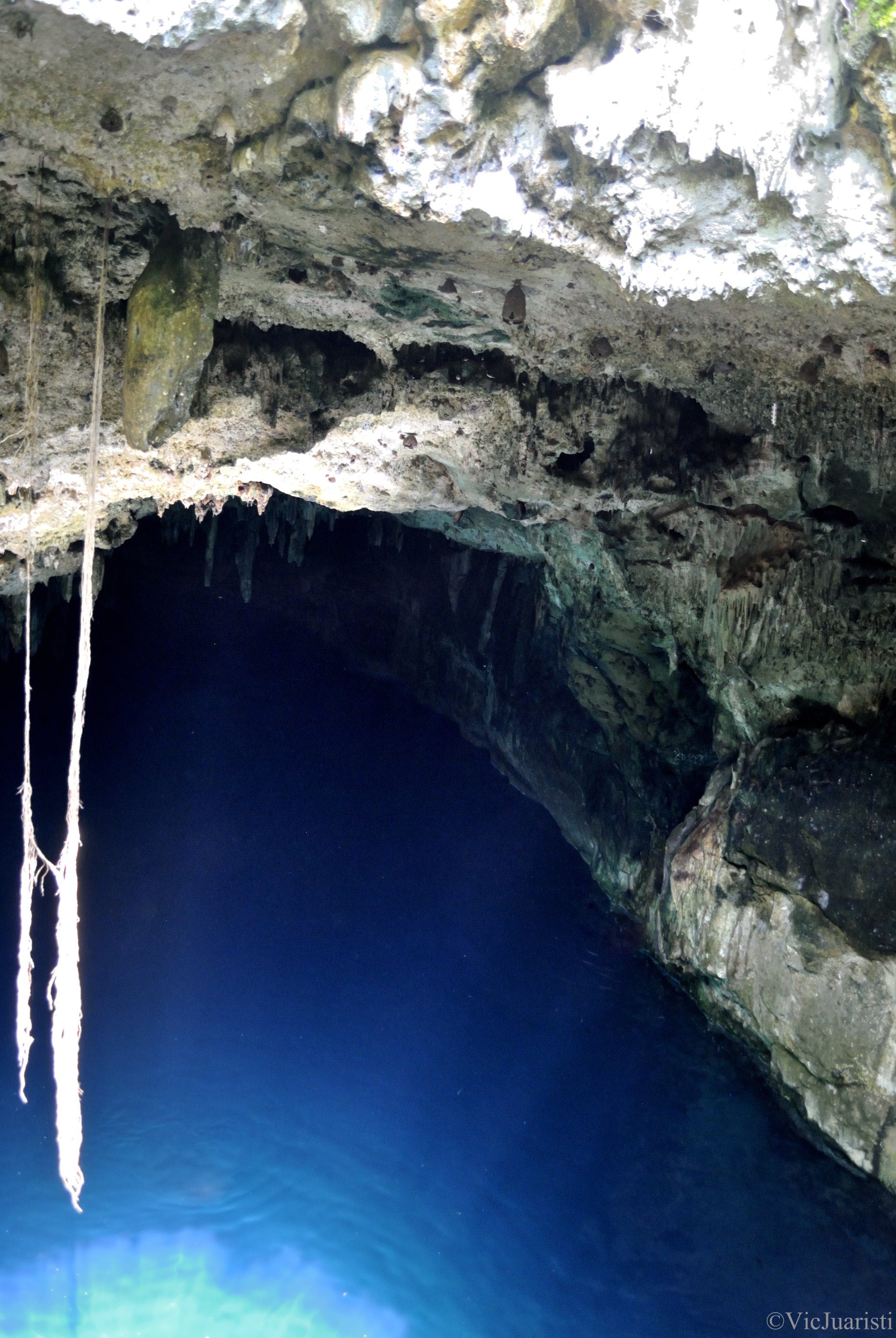
View From Cenote, Cuzamá, Yucatán, Mexico, 2010

Playa<3

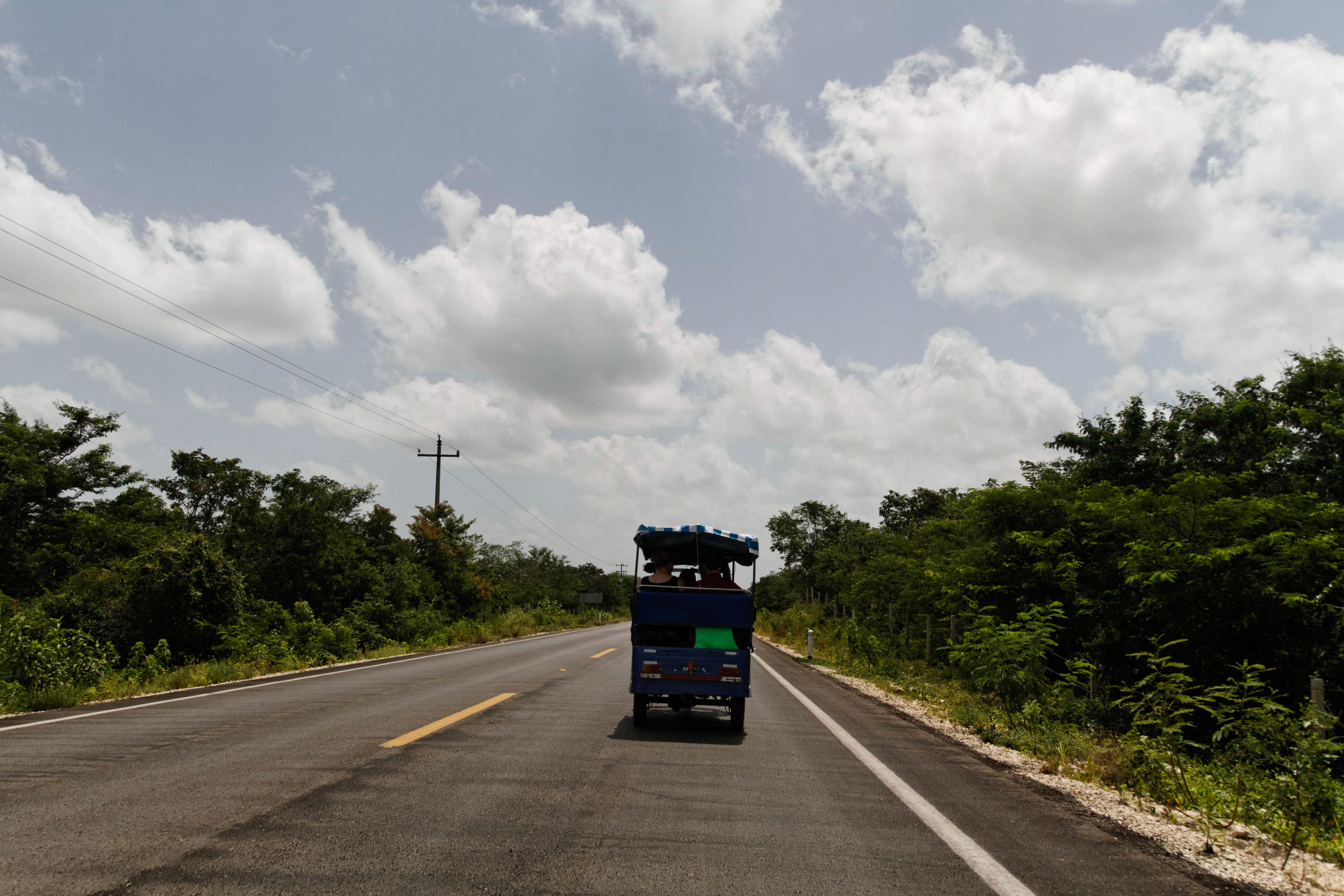
Cenote Tour

Cenote Tour
Cenote Tour
Teotihuacan, Mexico
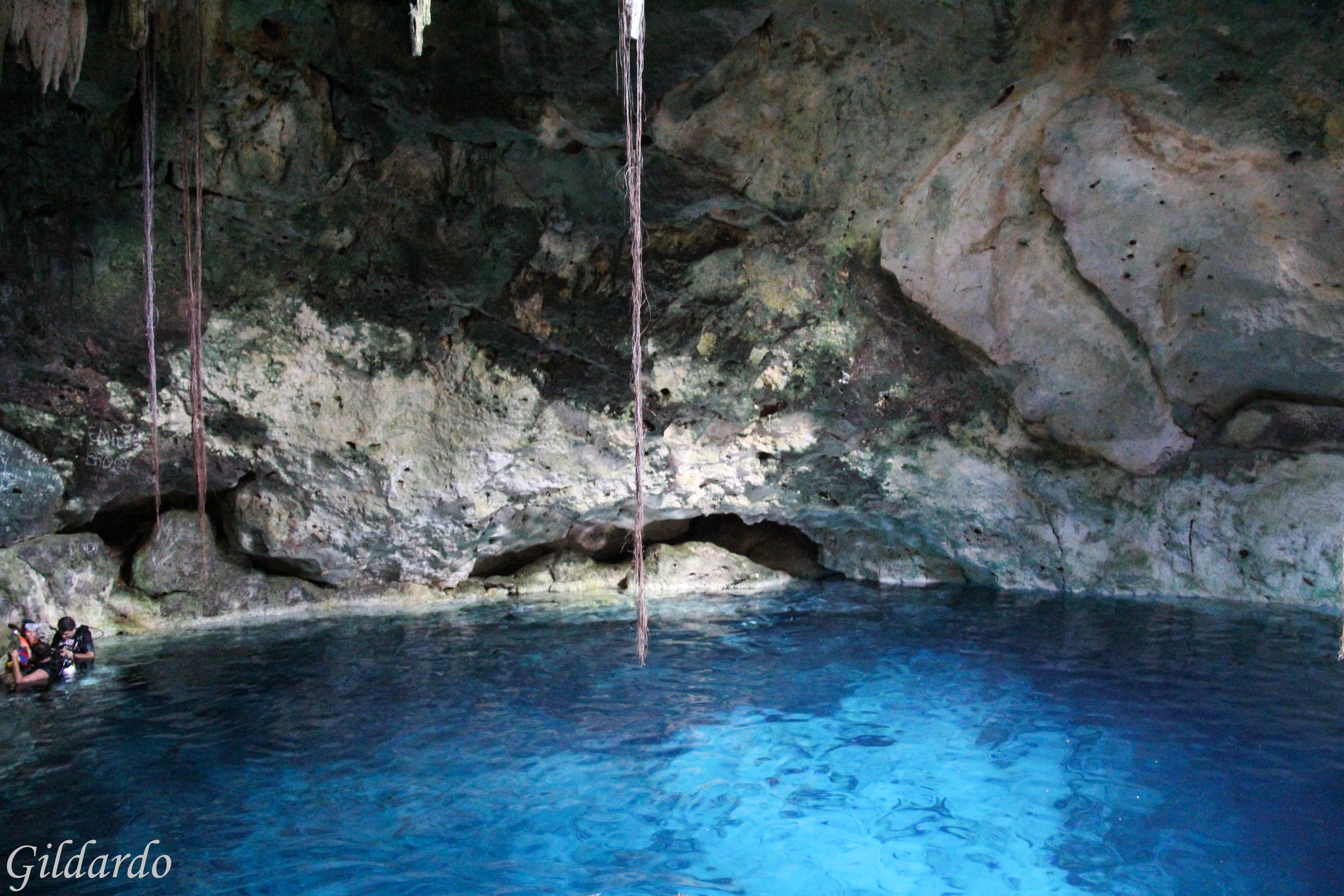
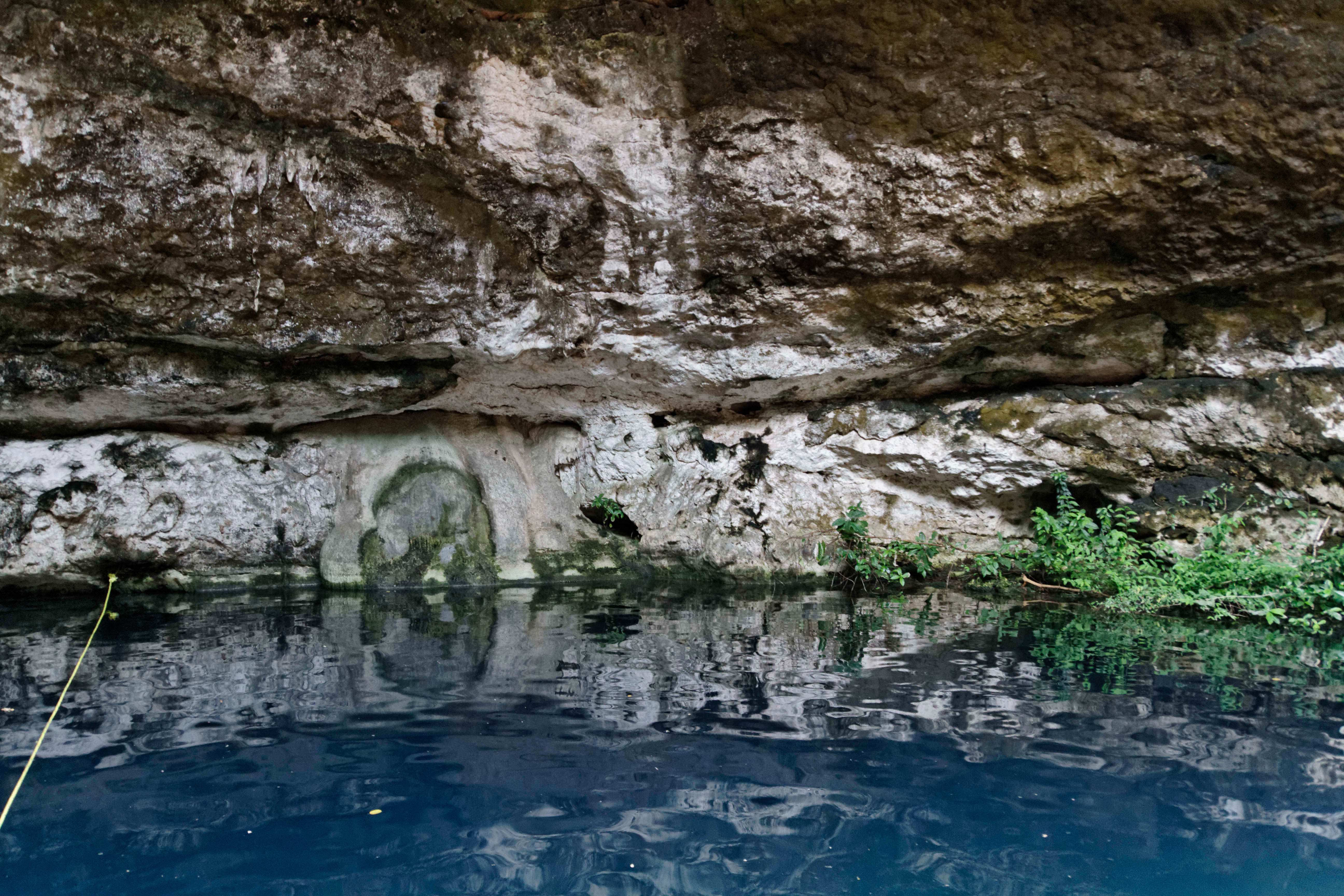
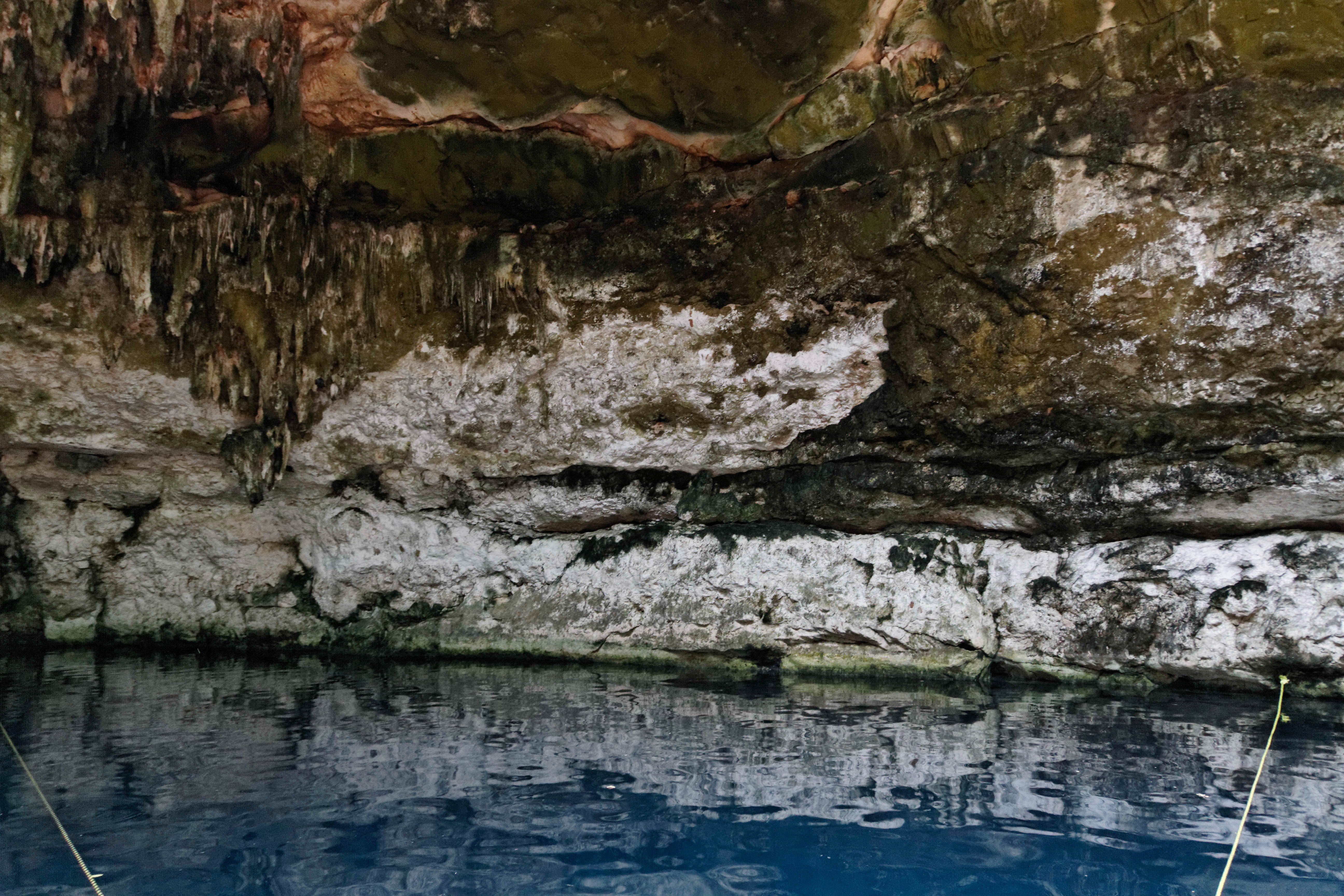
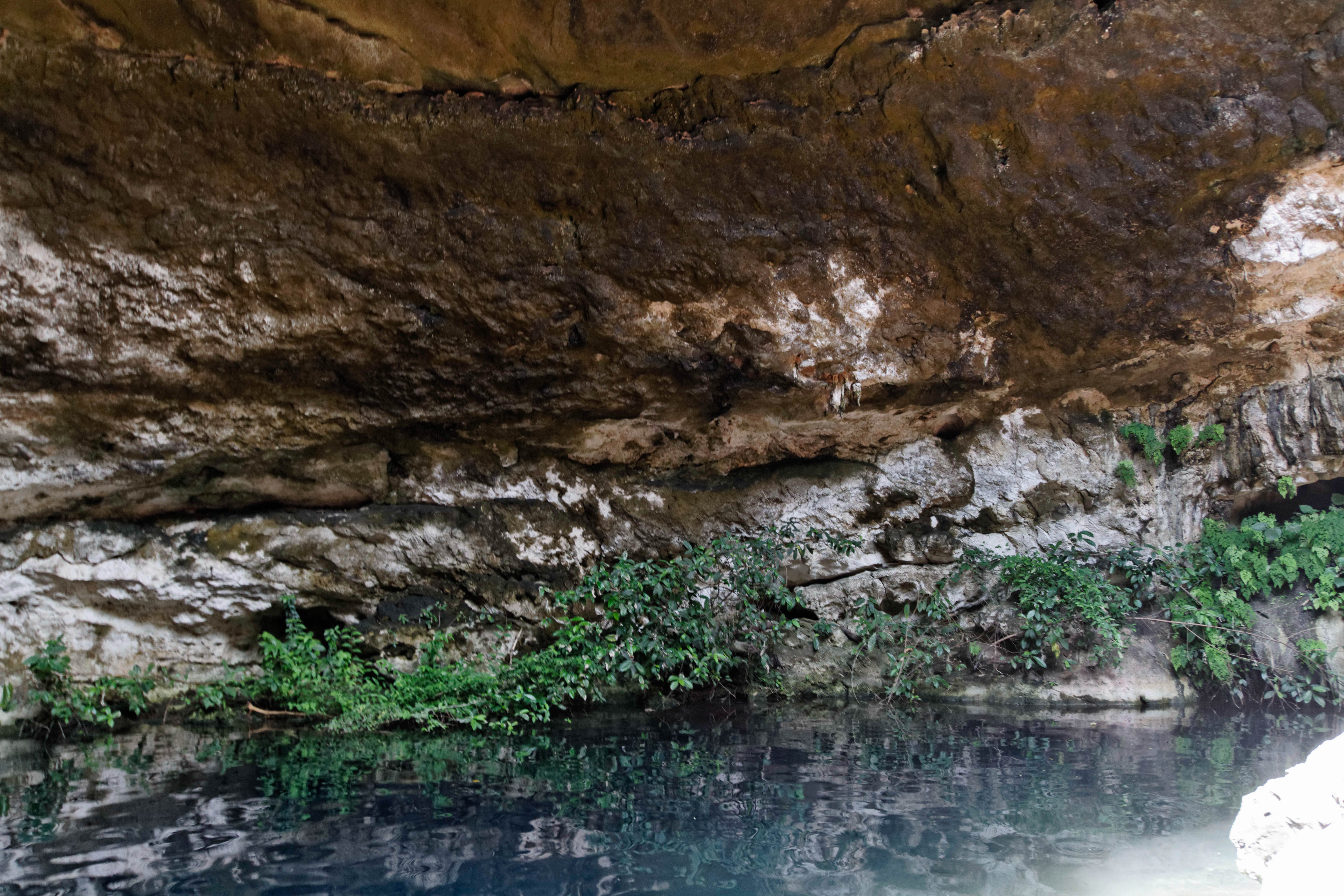
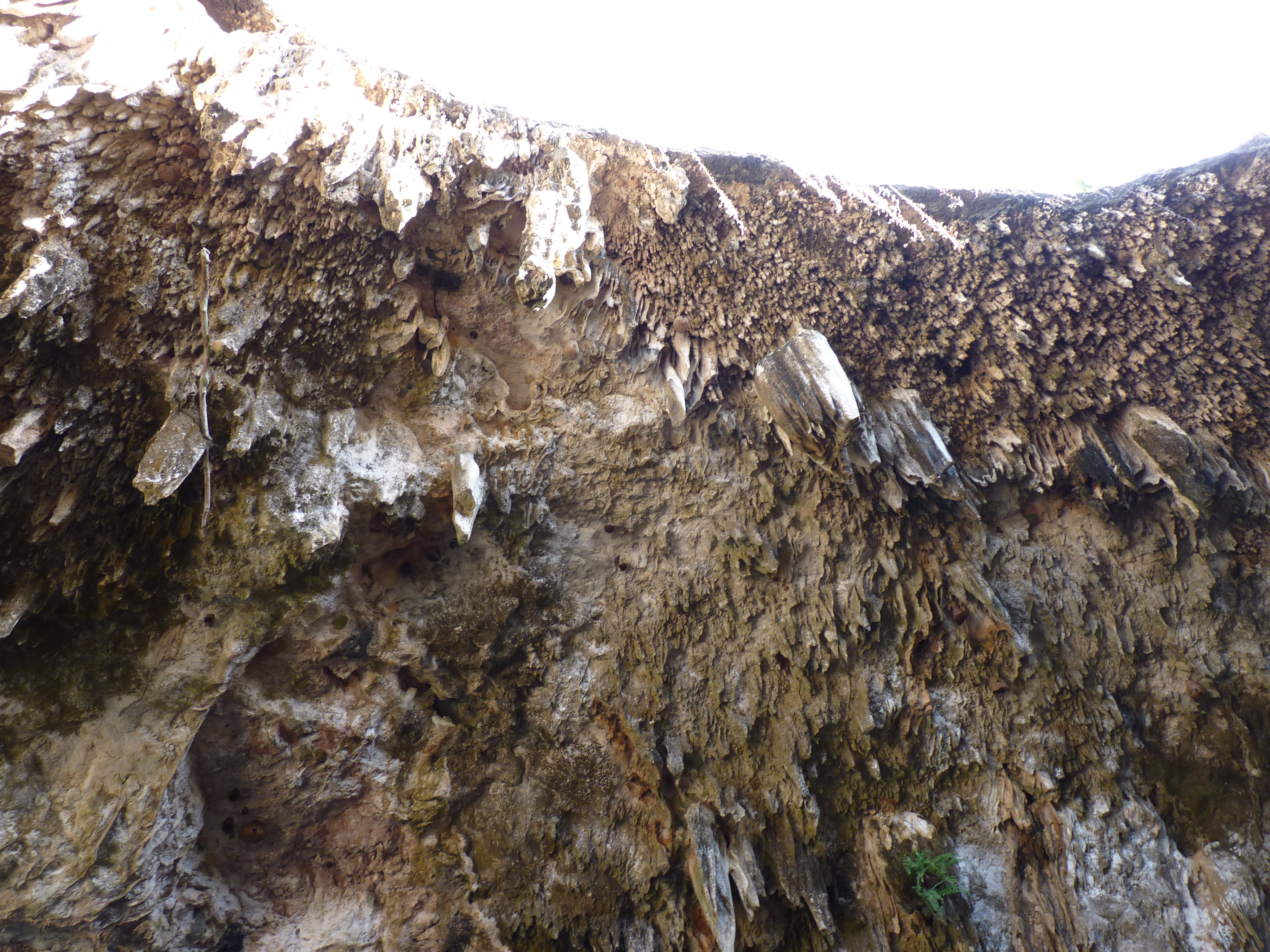
Cenotes, Cuzamá

Cenote Tour
Cenote Tour

Cenote Tour

Cenote Tour
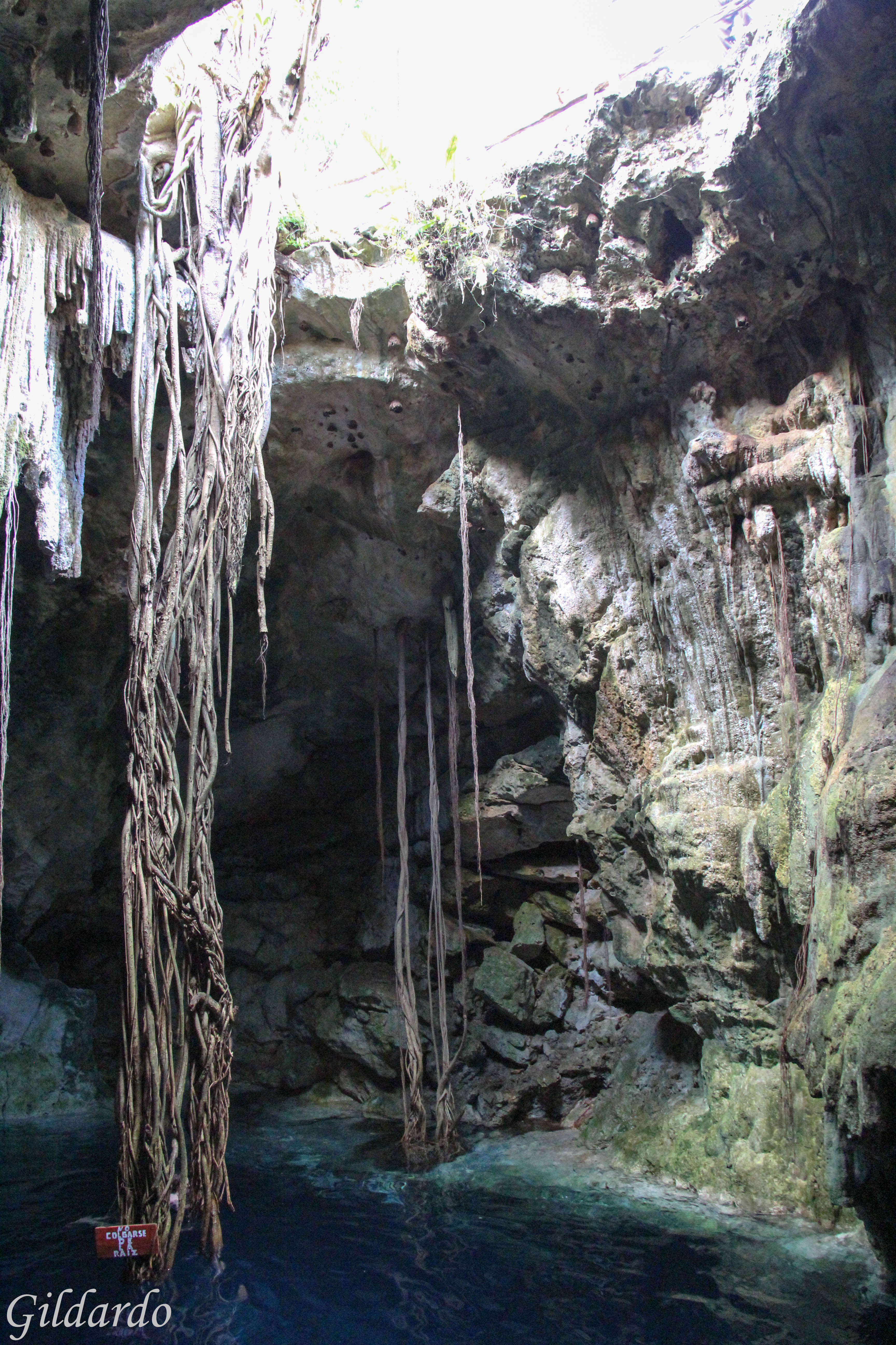
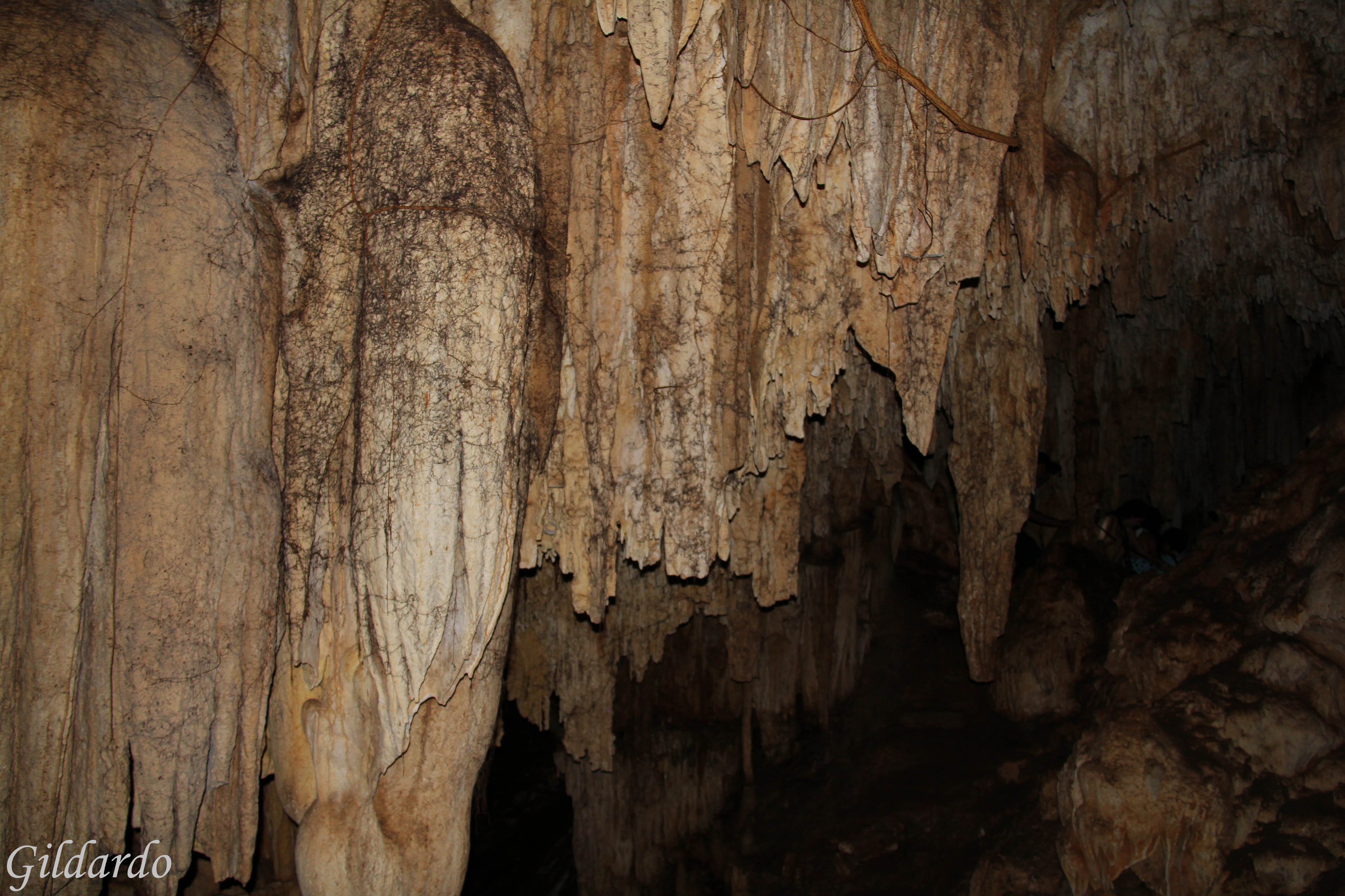
Cenotes, Cuzamá

Cenote Tour
1109 Mérida (172)

Cenote Tour

Cenote Tour
Cenote Tour
Cenote Tour
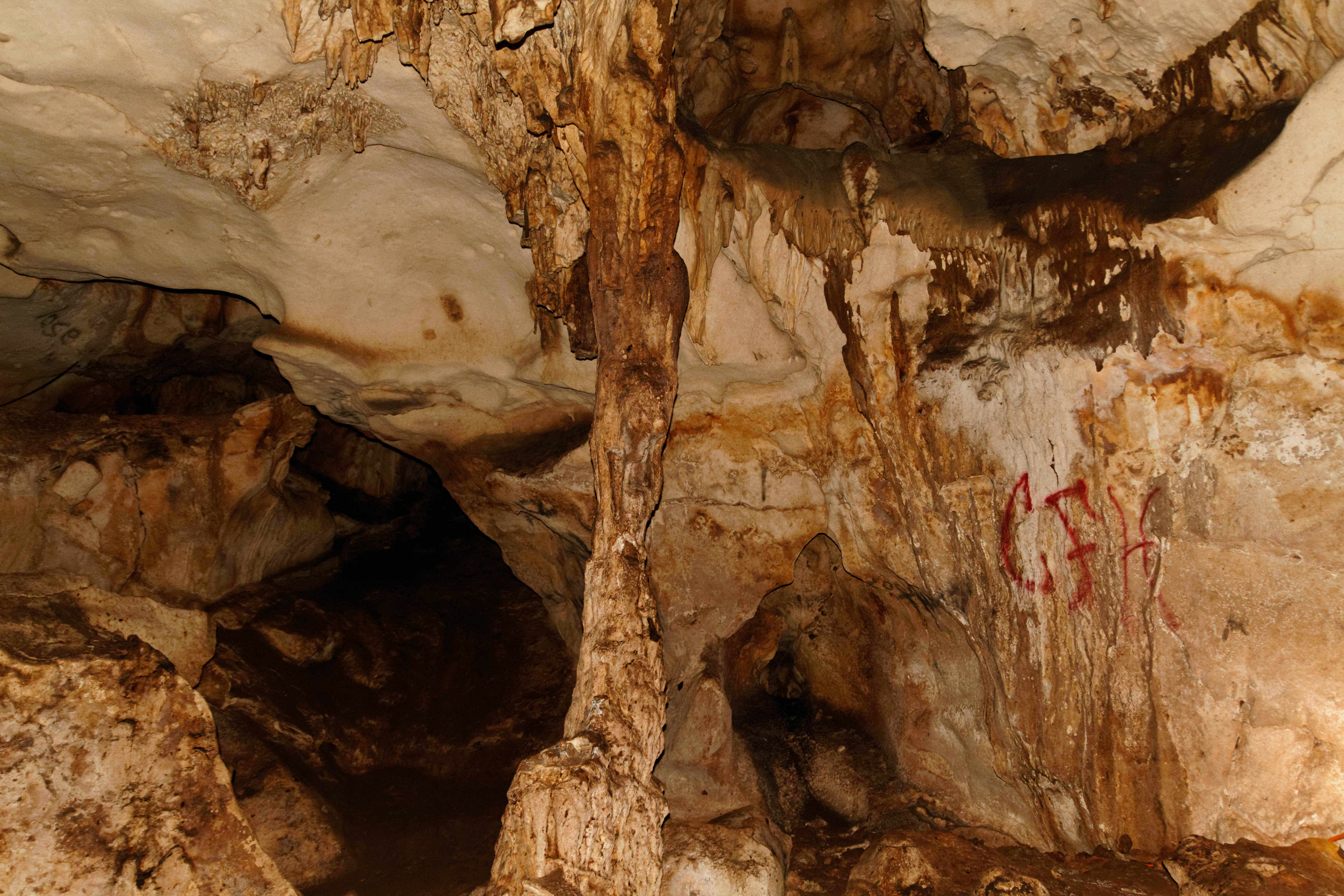
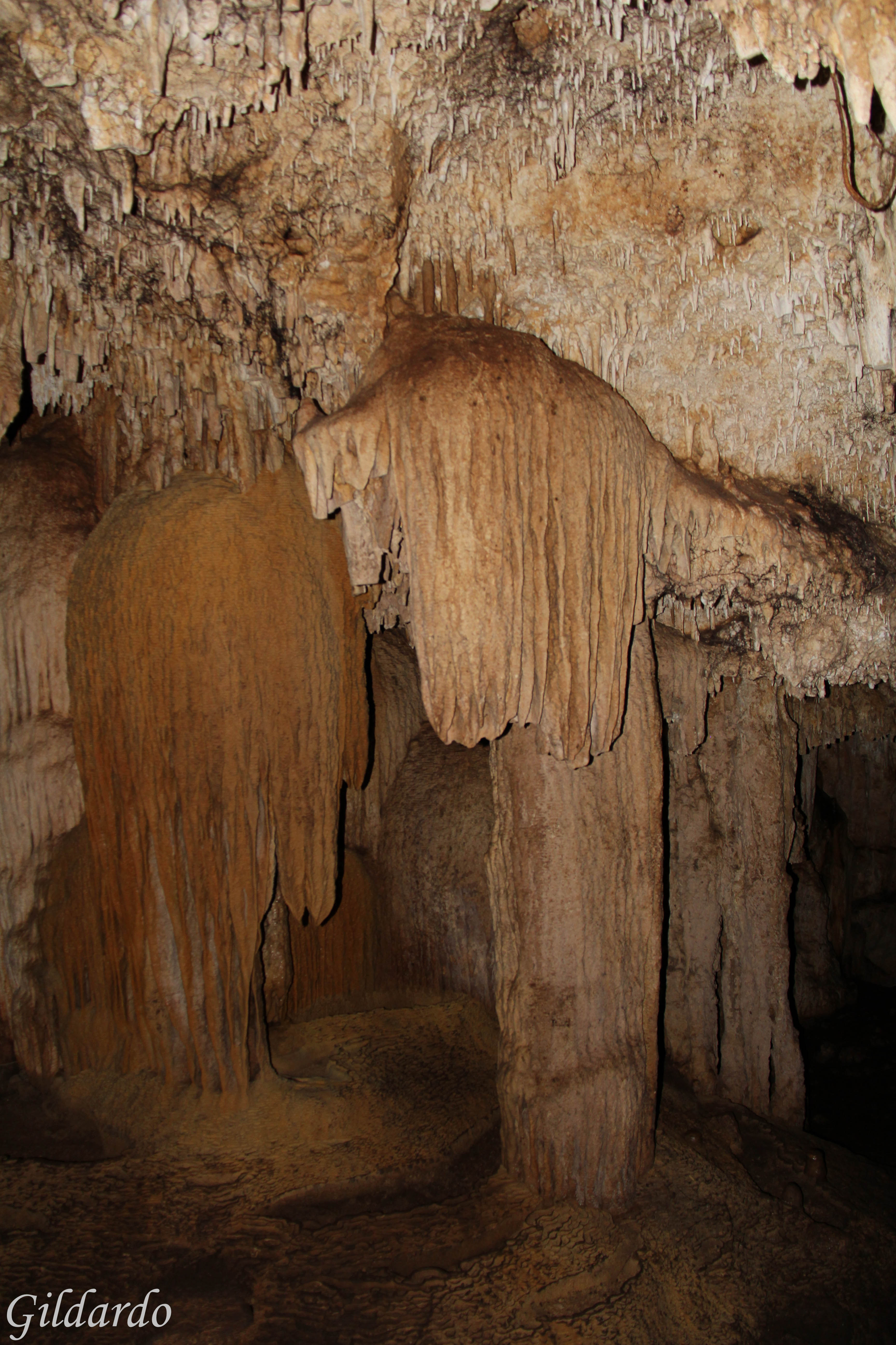
El Cenote
Cenotes, Cuzamá
Cenotes, Cuzamá
Cenote Tour
Topographic Map of Calle 20 49, Sanahcat, Sanahcat, Yuc., Mexico
Find elevation by address:

Places near Calle 20 49, Sanahcat, Sanahcat, Yuc., Mexico:
Sanahcat
Sanahcat
Tahmek
84a
Tahmek
Tahmek
Calle 21, Tahmek, Tahmek, Yuc., Mexico
Calle 22 87, Tahmek, Yuc., Mexico
Yucatan
18 64, Kimbilá, Kimbilá, Yuc., Mexico
Kimbilá
Kimbilá
Acanceh
Acanceh
Acanceh
Calle 21, Acanceh, Acanceh, Yuc., Mexico
Izamal
Izamal
Euán
Yucatán Tixkokob-Izamal, Euán, Yuc., Mexico
Recent Searches:
- Elevation of Corso Fratelli Cairoli, 35, Macerata MC, Italy
- Elevation of Tallevast Rd, Sarasota, FL, USA
- Elevation of 4th St E, Sonoma, CA, USA
- Elevation of Black Hollow Rd, Pennsdale, PA, USA
- Elevation of Oakland Ave, Williamsport, PA, USA
- Elevation of Pedrógão Grande, Portugal
- Elevation of Klee Dr, Martinsburg, WV, USA
- Elevation of Via Roma, Pieranica CR, Italy
- Elevation of Tavkvetili Mountain, Georgia
- Elevation of Hartfords Bluff Cir, Mt Pleasant, SC, USA