Elevation of Calle 21, Acanceh, Acanceh, Yuc., Mexico
Location: Mexico > Yucatan > Acanceh > Acanceh > Acanceh >
Longitude: -89.452738
Latitude: 20.8132013
Elevation: 15m / 49feet
Barometric Pressure: 101KPa
Elevation Map:
Satellite Map:
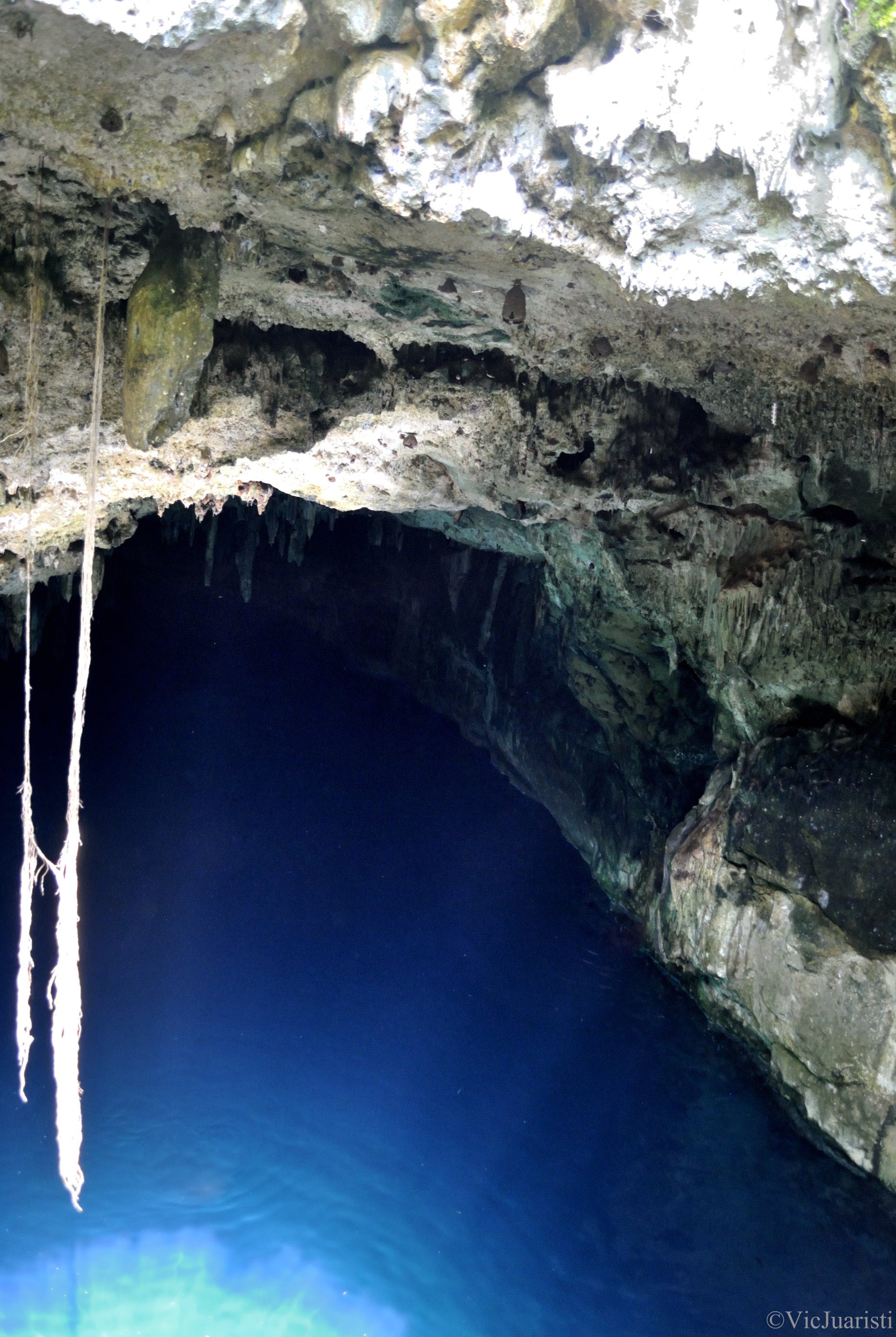
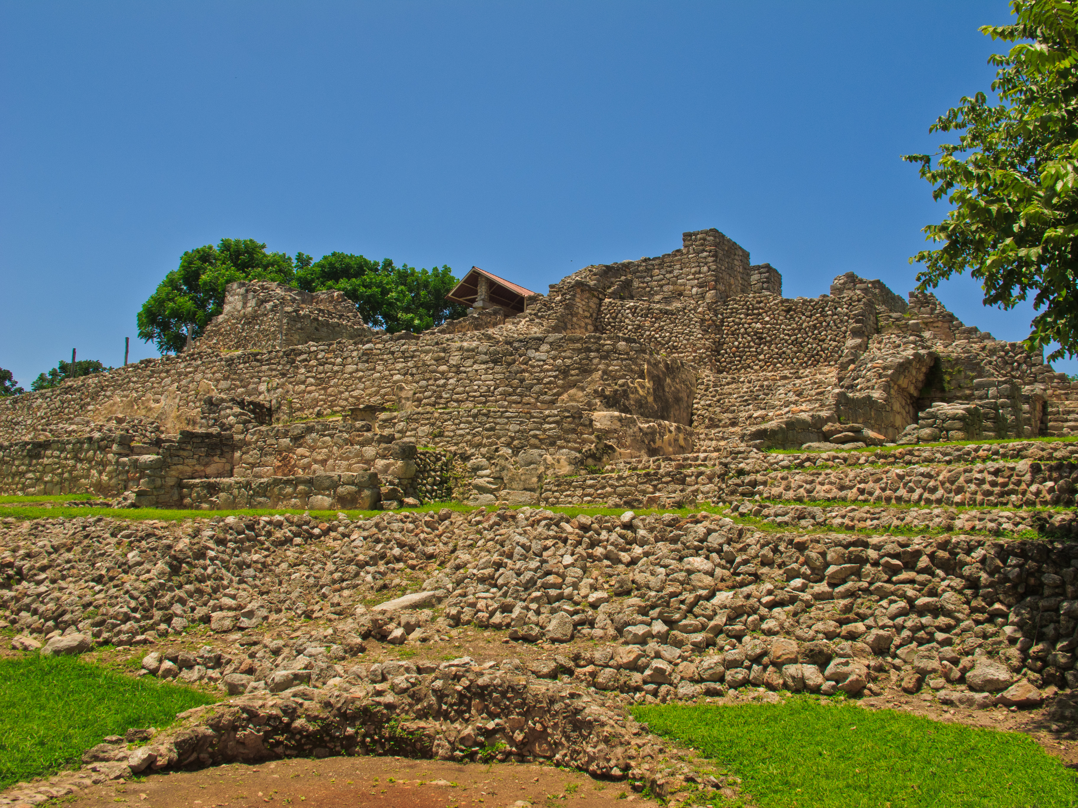
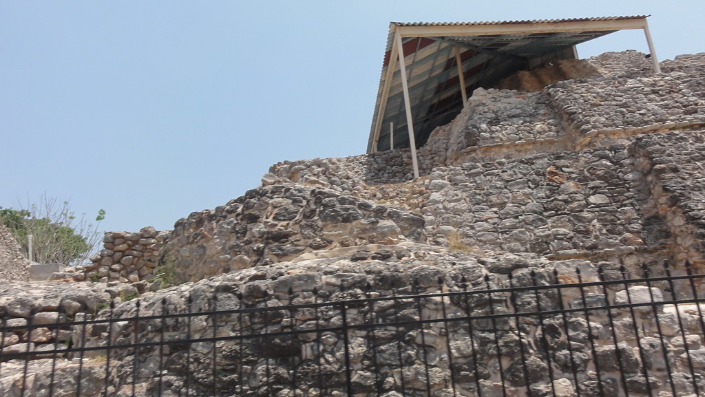
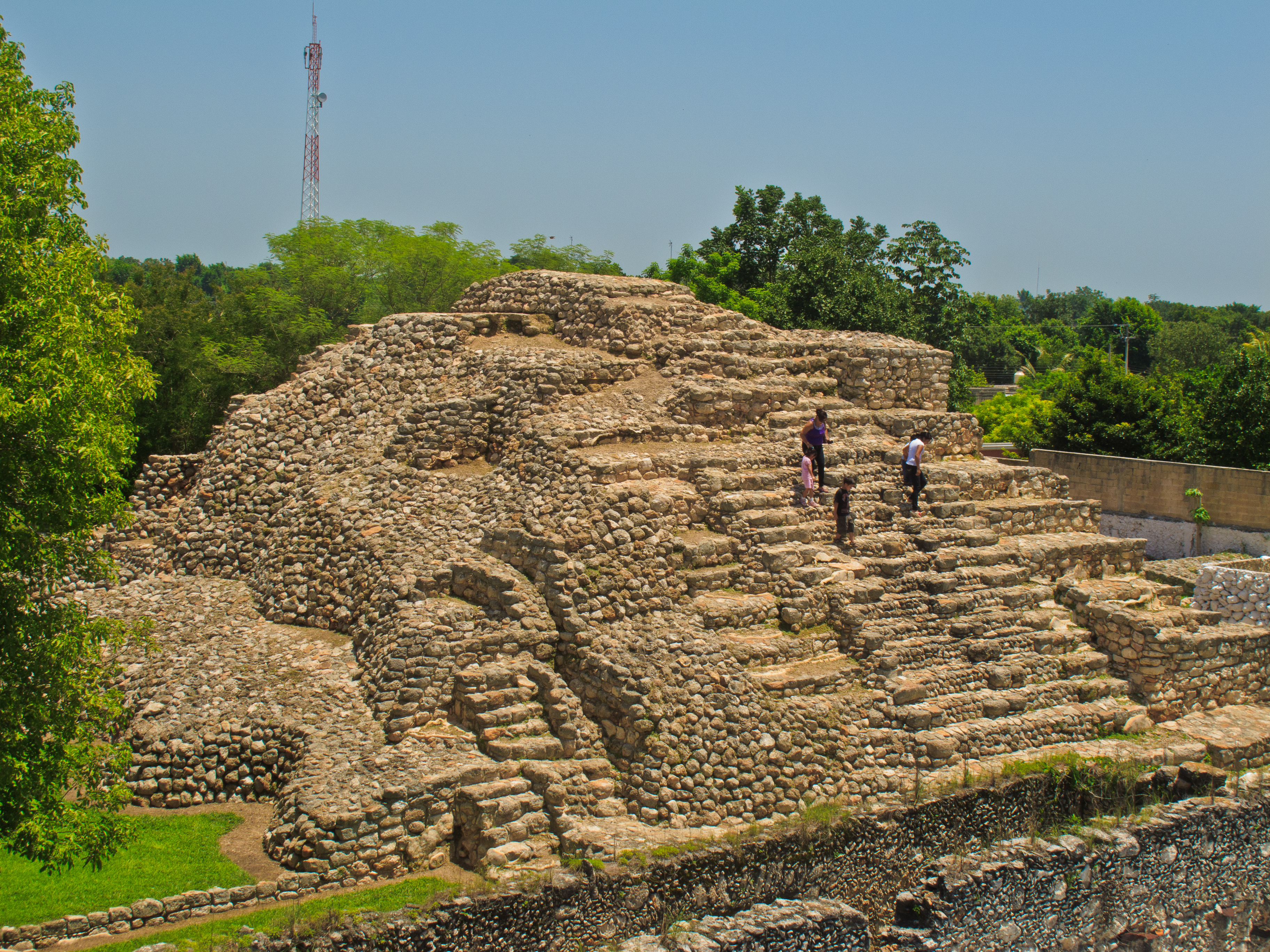
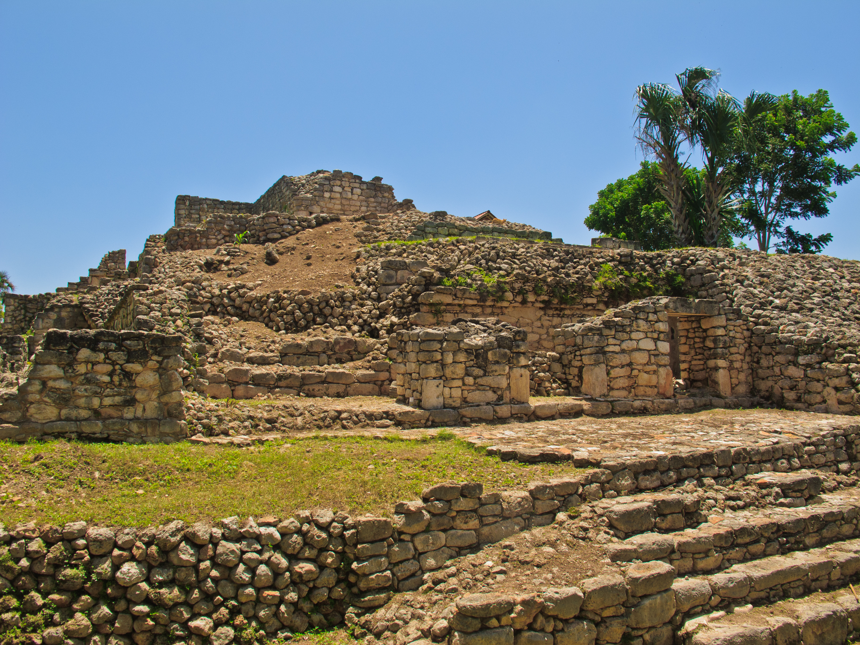
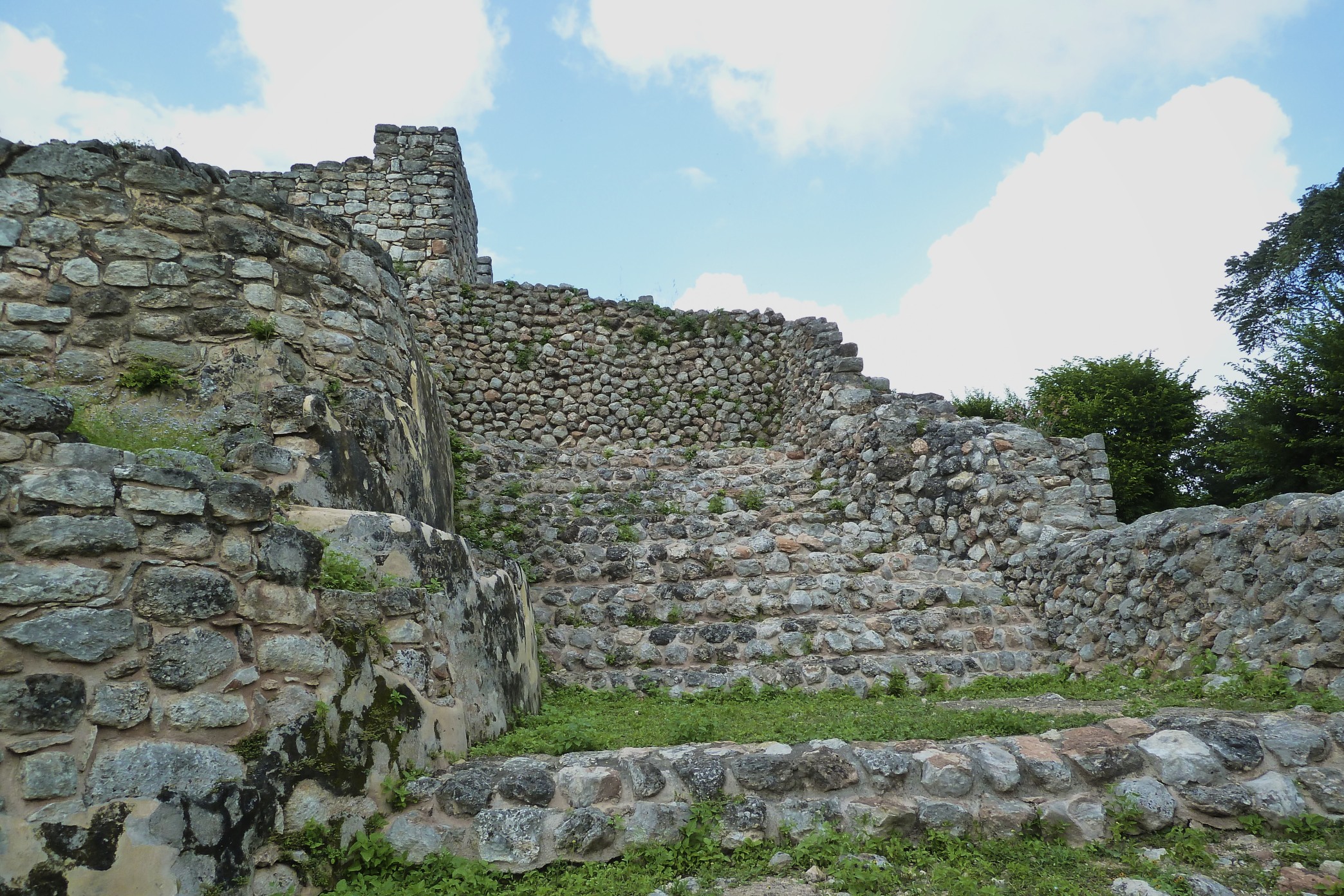
Related Photos:
ticopo 7624 ch
Acanceh-5
Acanceh-4
ticopo 7628 ch
1109 Mérida (172)
Acanceh-15
2592-Convents Route-Acanceh Ruins
Acanceh-8
Acanceh-11
Acanceh Yucatan Mexico
Topographic Map of Calle 21, Acanceh, Acanceh, Yuc., Mexico
Find elevation by address:

Places near Calle 21, Acanceh, Acanceh, Yuc., Mexico:
Acanceh
Acanceh
Acanceh
Kanasín Municipality
Hacienda Dzoyolá
Mérida - Timucuy, San Antonio, Yuc., Mexico
Calle , Yucatán, Mexico
San Antonio
Chichén Itzá
104b
Calle 21, Tahmek, Tahmek, Yuc., Mexico
Tixkokob Municipality
Tixkokob
Tixkokob
Tahmek
Calle 22 87, Tahmek, Yuc., Mexico
Tahmek
Merida
Teya -Peto, Yucatán, Mexico
Tahmek
Recent Searches:
- Elevation of Corso Fratelli Cairoli, 35, Macerata MC, Italy
- Elevation of Tallevast Rd, Sarasota, FL, USA
- Elevation of 4th St E, Sonoma, CA, USA
- Elevation of Black Hollow Rd, Pennsdale, PA, USA
- Elevation of Oakland Ave, Williamsport, PA, USA
- Elevation of Pedrógão Grande, Portugal
- Elevation of Klee Dr, Martinsburg, WV, USA
- Elevation of Via Roma, Pieranica CR, Italy
- Elevation of Tavkvetili Mountain, Georgia
- Elevation of Hartfords Bluff Cir, Mt Pleasant, SC, USA