Elevation of Yssingeaux, France
Location: France > Haute-loire >
Longitude: 4.123734
Latitude: 45.142667
Elevation: 863m / 2831feet
Barometric Pressure: 91KPa
Elevation Map:
Satellite Map:
Related Photos:
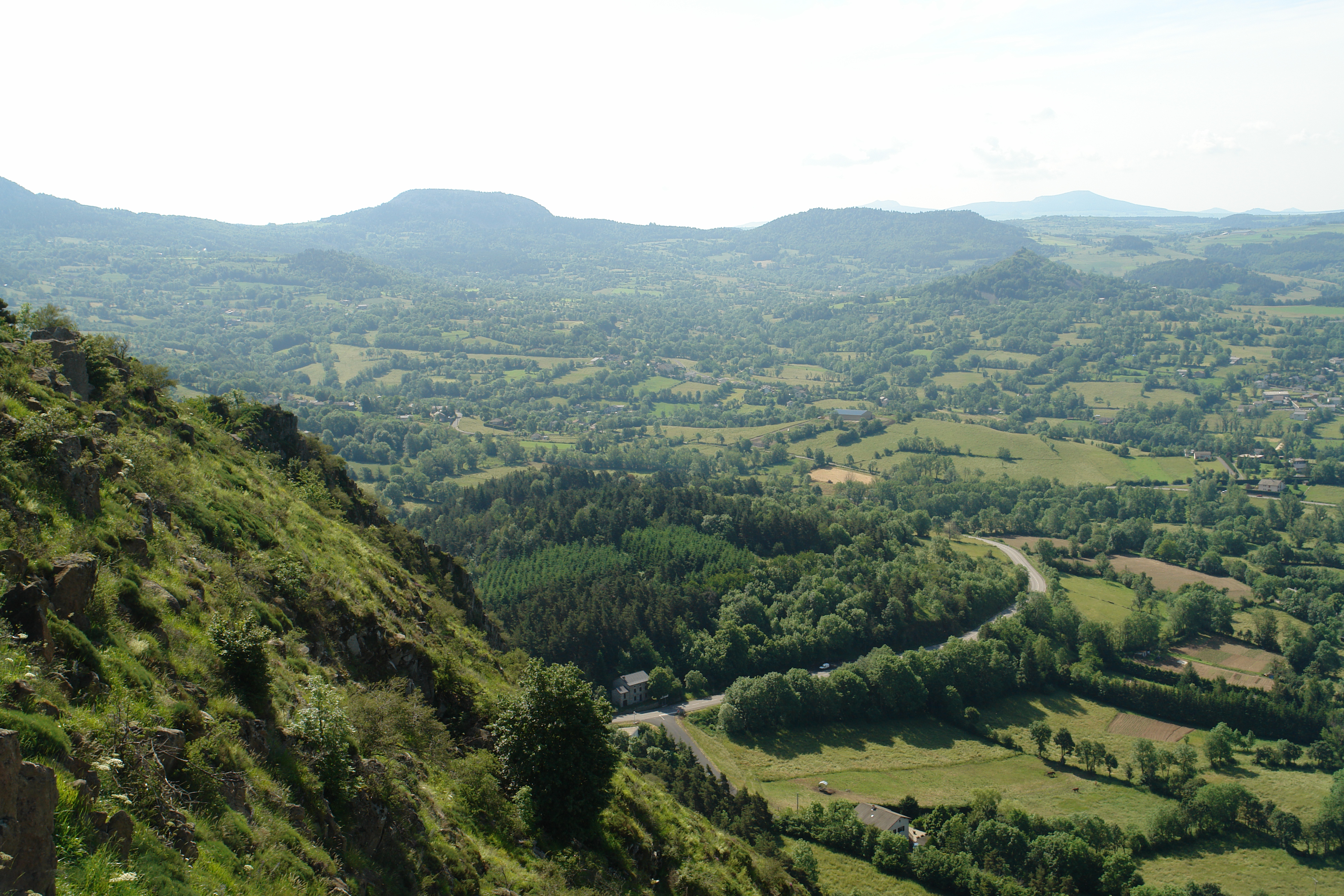
DSC06182.JPG
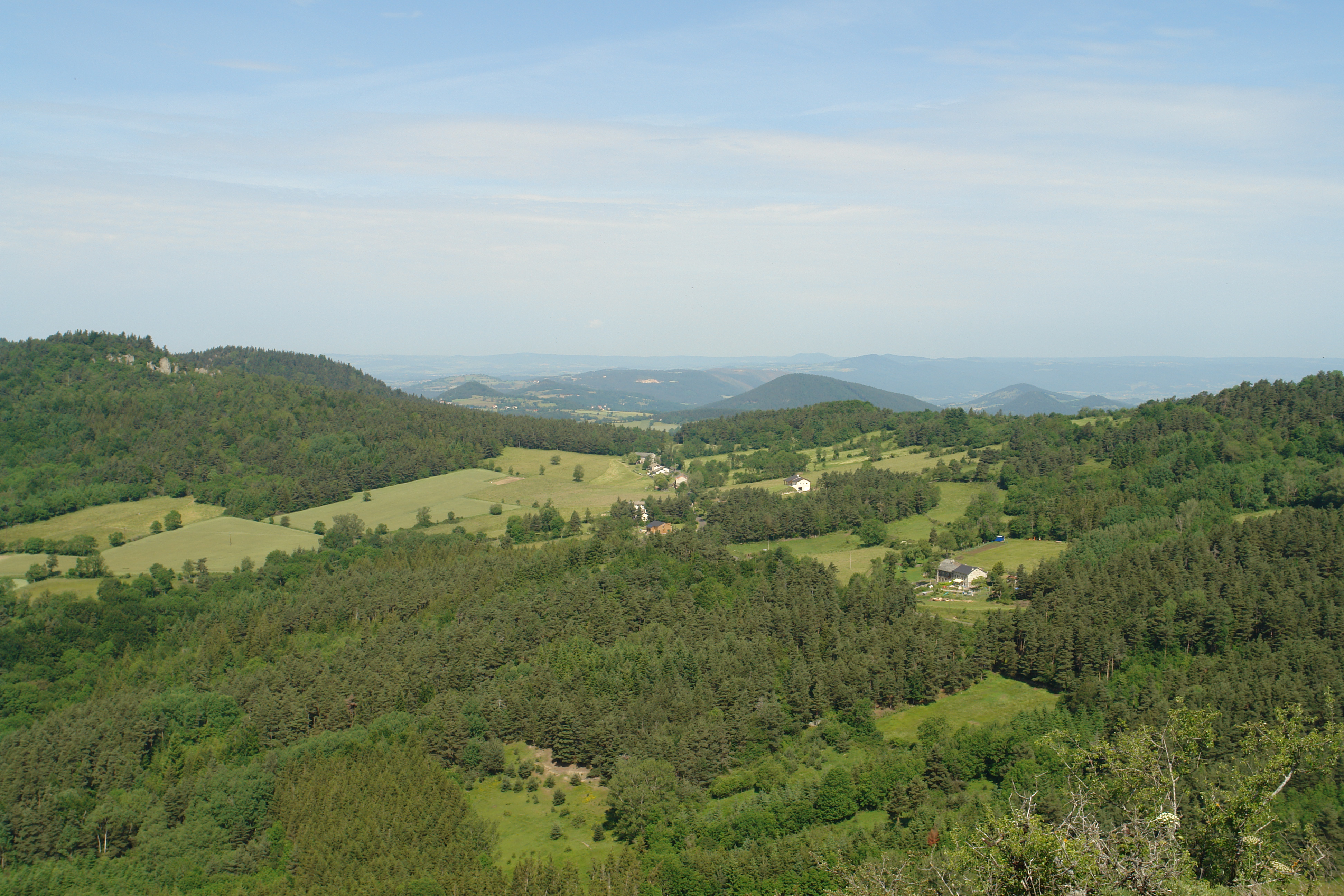
DSC06184.JPG
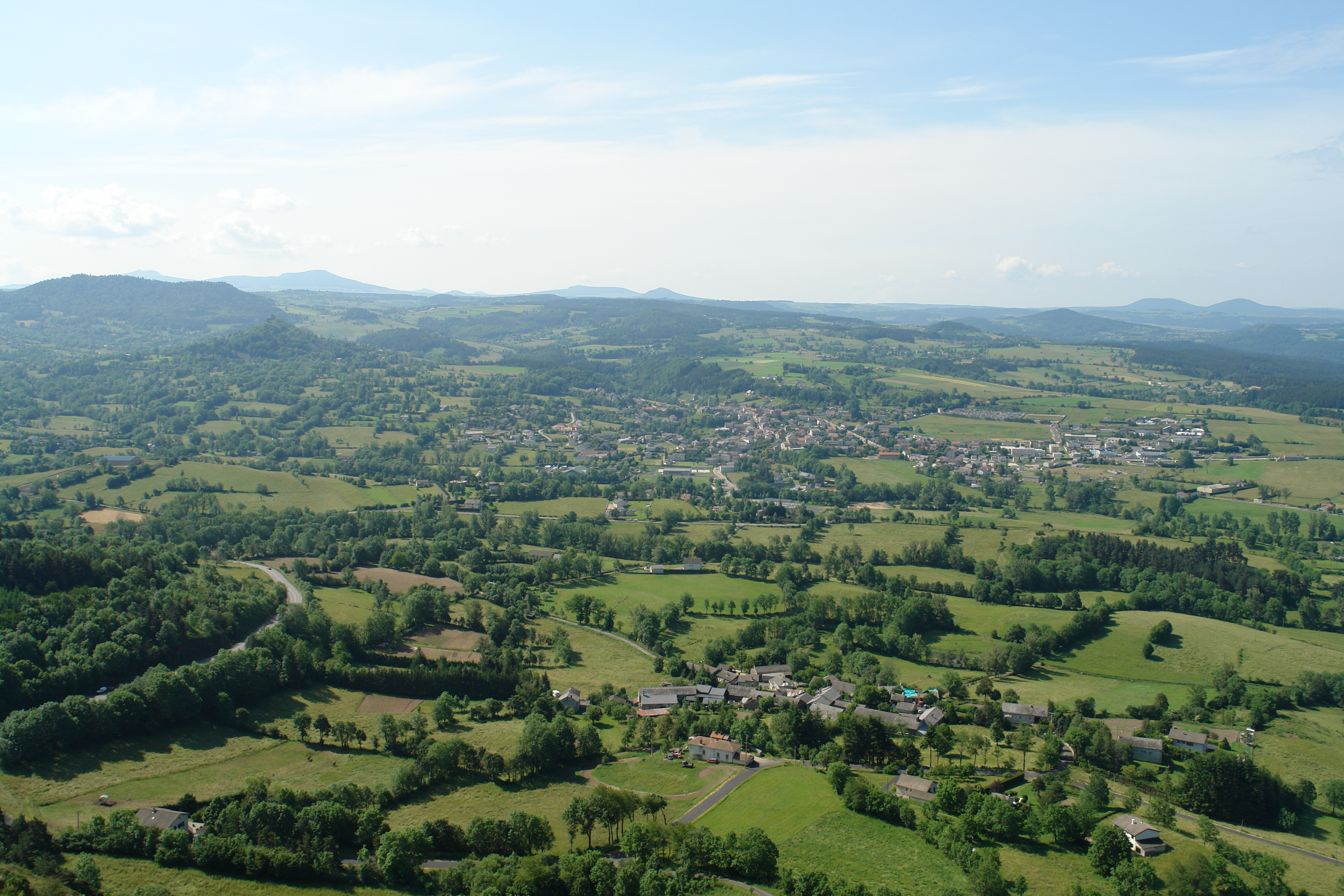
DSC06181.JPG
Topographic Map of Yssingeaux, France
Find elevation by address:

Places near Yssingeaux, France:
Araules
50 Rue de l'Église, Araules, France
Grazac
5385b
4 Place Pierre Cruviller, Retournac, France
Retournac
Boussoulet, Champclause, France
4 Place des Remparts, Beauzac, France
Beauzac
Champclause
Saint-Étienne-lardeyrol
Cosycamp
Chamalières-sur-loire
Condros, Saint-Étienne-Lardeyrol, France
Monistrol-sur-loire
2 Avenue de la Libération, Monistrol-sur-Loire, France
Bas-en-basset
Château De Rochebaron
14 Rue J Romain, Lavoûte-sur-Loire, France
Haute-loire
Recent Searches:
- Elevation of Corso Fratelli Cairoli, 35, Macerata MC, Italy
- Elevation of Tallevast Rd, Sarasota, FL, USA
- Elevation of 4th St E, Sonoma, CA, USA
- Elevation of Black Hollow Rd, Pennsdale, PA, USA
- Elevation of Oakland Ave, Williamsport, PA, USA
- Elevation of Pedrógão Grande, Portugal
- Elevation of Klee Dr, Martinsburg, WV, USA
- Elevation of Via Roma, Pieranica CR, Italy
- Elevation of Tavkvetili Mountain, Georgia
- Elevation of Hartfords Bluff Cir, Mt Pleasant, SC, USA