Elevation of Yscloskey Hwy, St Bernard, LA, USA
Location: United States > Louisiana > St. Bernard Parish > E > Saint Bernard >
Longitude: -89.688493
Latitude: 29.8430104
Elevation: 3m / 10feet
Barometric Pressure: 101KPa
Elevation Map:
Satellite Map:
Related Photos:

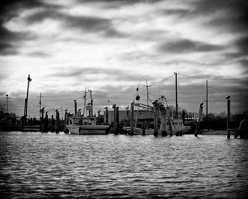
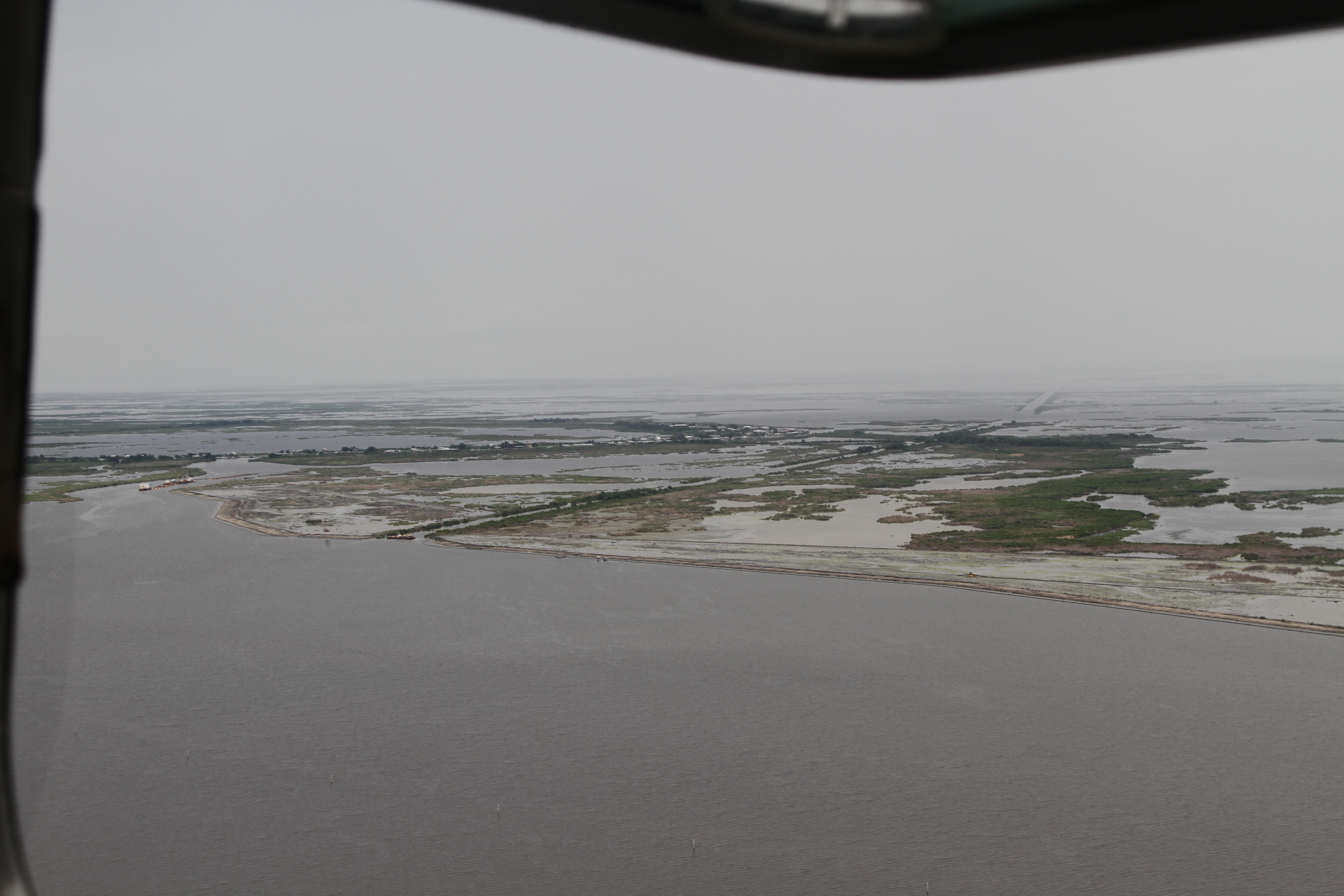
Flew Bayou

Flew Bayou

Flew Bayou

Flew Bayou

Flew Bayou

Flew Bayou
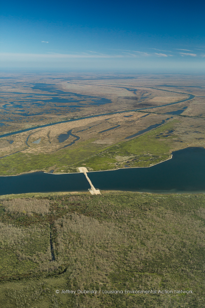
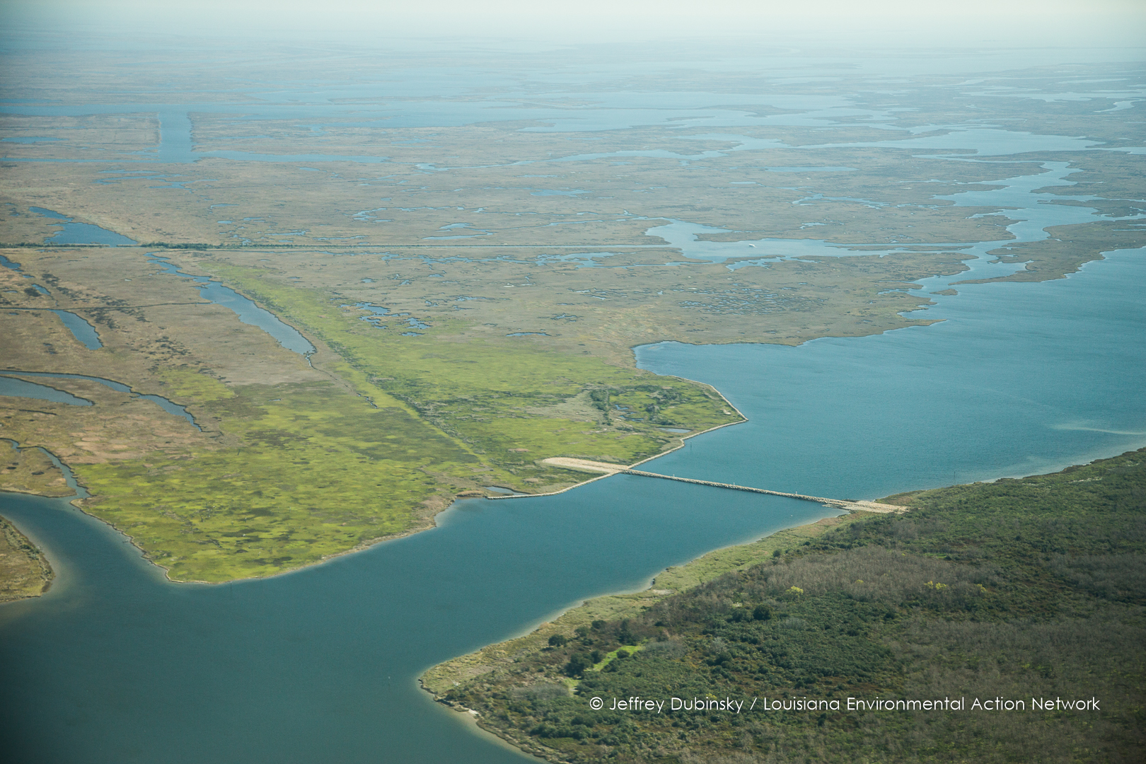
battery bienvenue, Bayou Bienvenue, Central Wetland Unit, Flood Control
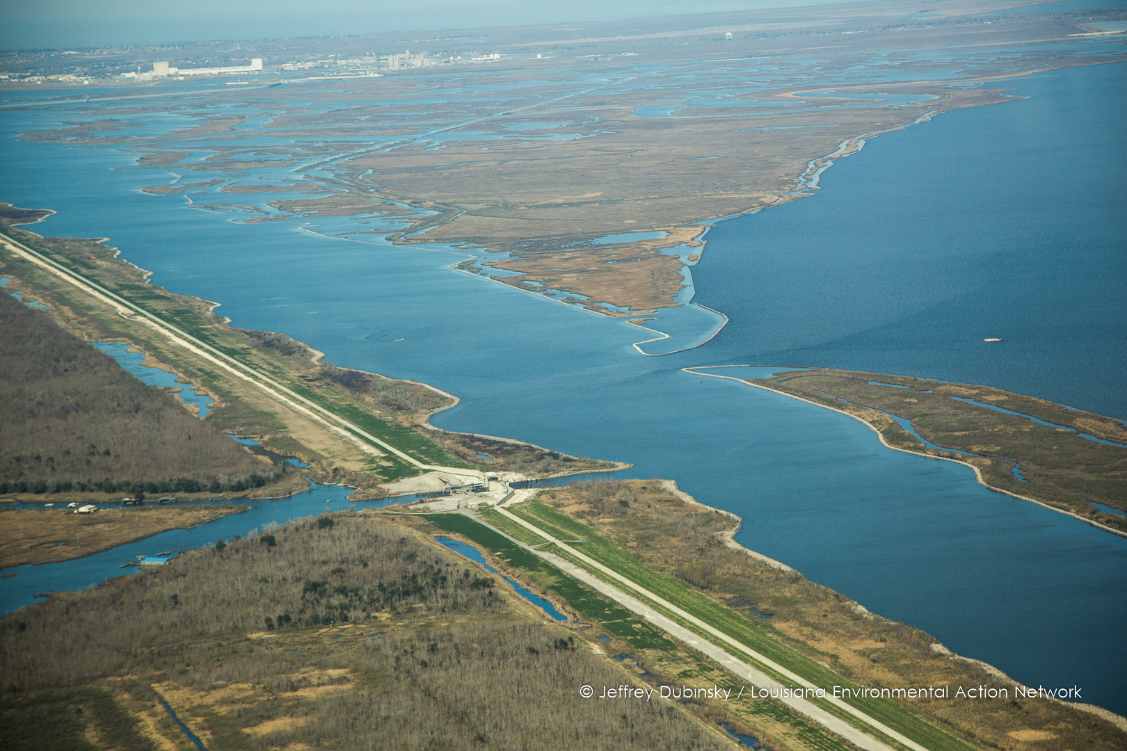
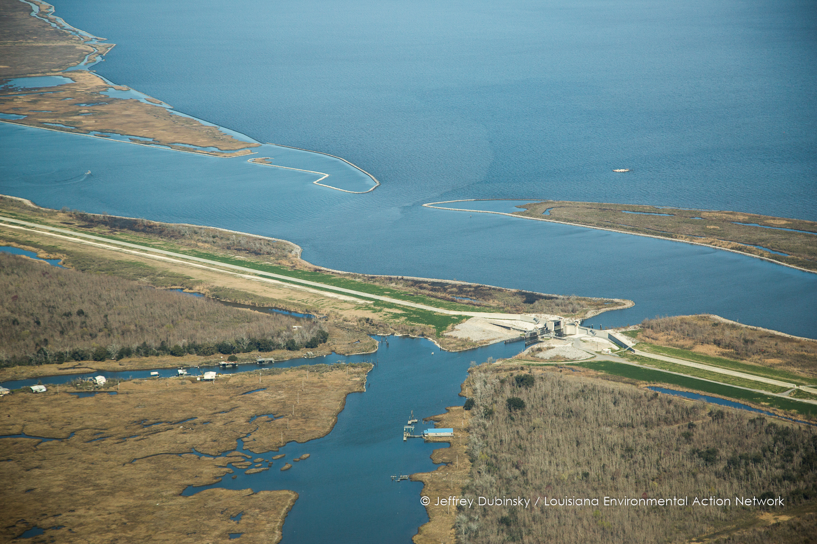
MRGO Rock Dam
lean-southwings-2-13-15-copyright-jeffrey-dubinsky-8937
battery bienvenue, Bayou Bienvenue, Central Wetland Unit, Flood Control
bubba gump

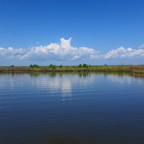
IMG_0833 Delacroix island
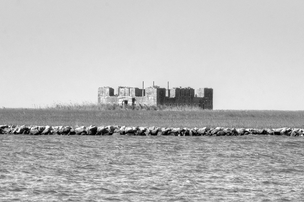
Fort Proctor in Lake Borgne

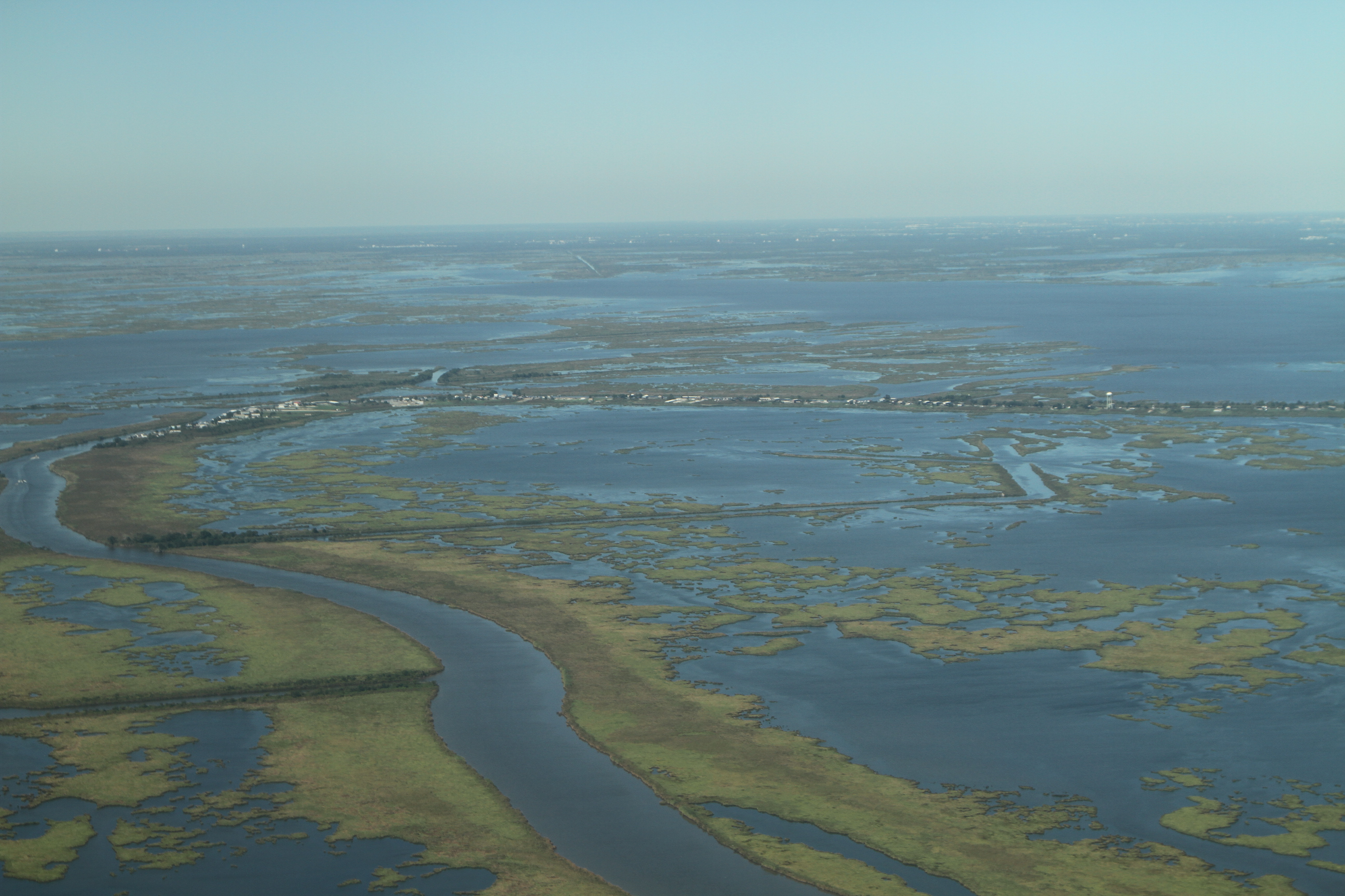
Lake Lery with NOLA skyline flyby
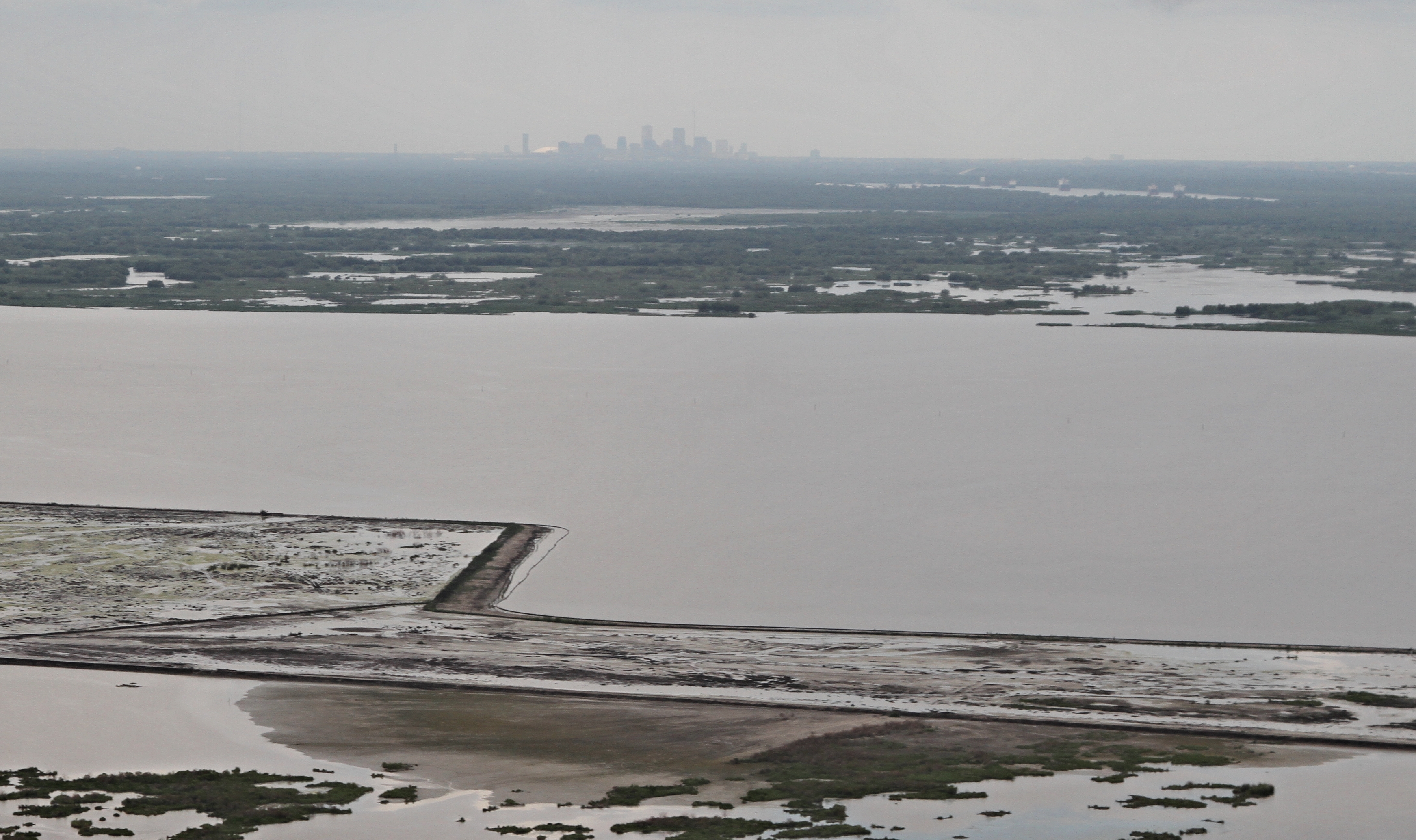
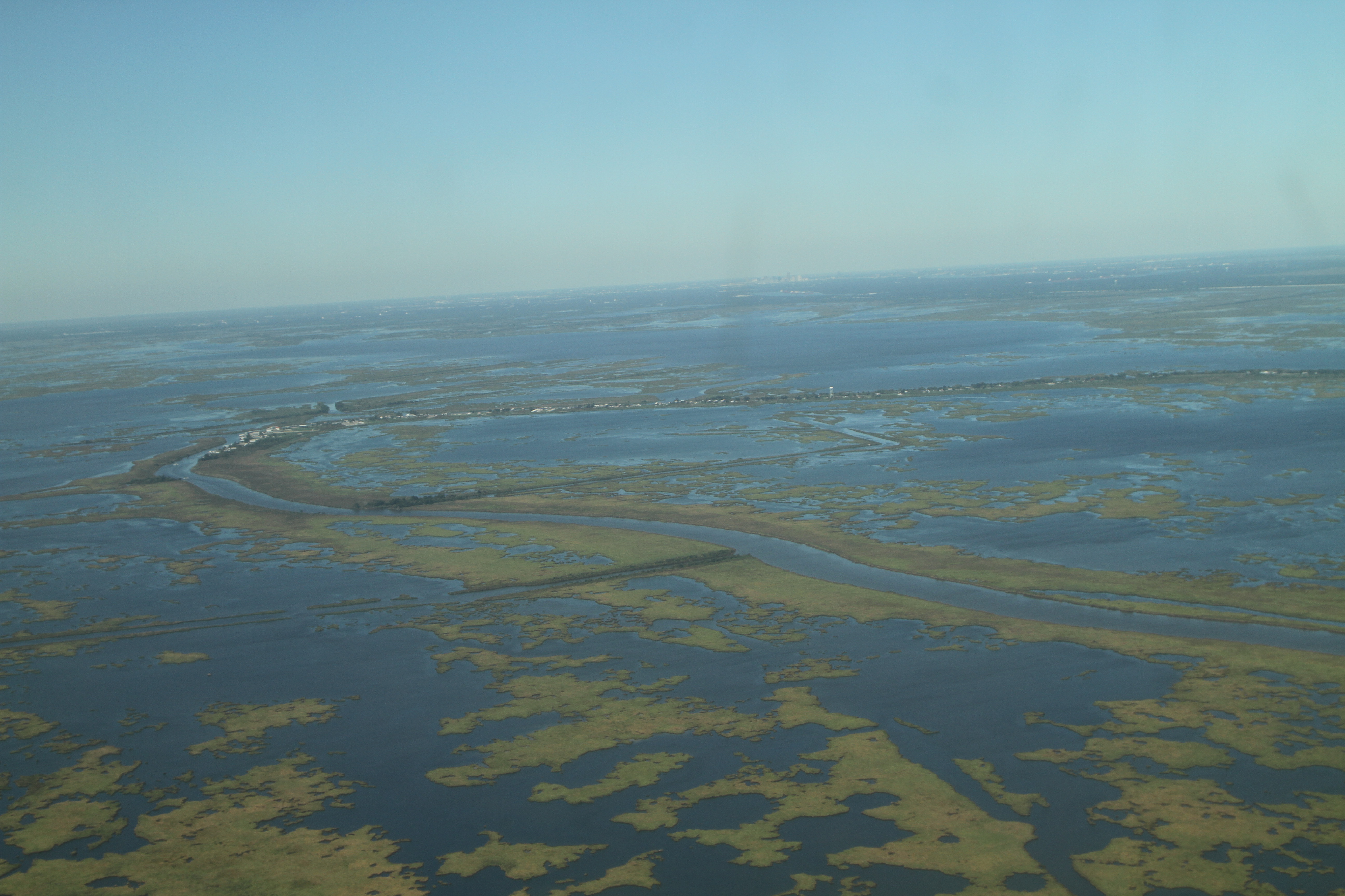
IMG_8808 crop NOLA skyline lake lery restoration
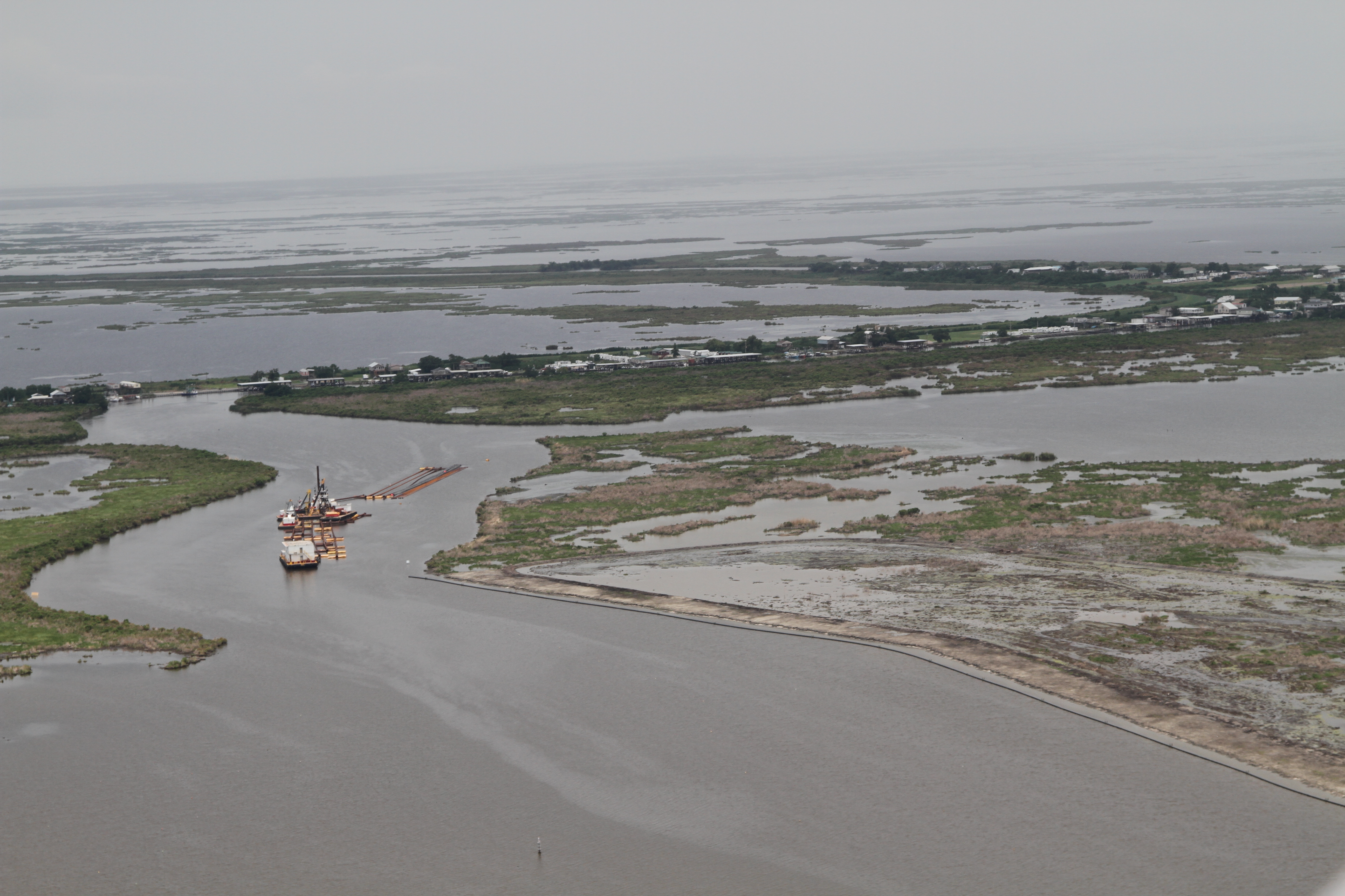
IMG_8779 lake lery dredge and restoration and delacroix
IMG_8763 restoration lake lery
IMG_0833 Delacroix island
IMG_0837 Delacroix island adn nola
You know what the say about a good day on the water... #gulf #fishing #nola #neworleans #fishinglife #bayou
Topographic Map of Yscloskey Hwy, St Bernard, LA, USA
Find elevation by address:

Places near Yscloskey Hwy, St Bernard, LA, USA:
Florissant Highway
Rue Terre Aux Boeufs, St Bernard, LA, USA
Bayou Rd, St Bernard, LA, USA
Saint Bernard
38 Woodchase Ct
2404 Meadowlark Dr
2904 Riverbend Dr
2501 S Lake Blvd
Poydras
2409 Riverbend Dr
Braithwaite
English Turn Rd, Braithwaite, LA, USA
197 Evangeline Trce
2, LA, USA
Belle Chasse
312 Oak Tree Rd
116 St Ann St
3, LA, USA
108 Schlief Dr
110 Schlief Dr
Recent Searches:
- Elevation of Corso Fratelli Cairoli, 35, Macerata MC, Italy
- Elevation of Tallevast Rd, Sarasota, FL, USA
- Elevation of 4th St E, Sonoma, CA, USA
- Elevation of Black Hollow Rd, Pennsdale, PA, USA
- Elevation of Oakland Ave, Williamsport, PA, USA
- Elevation of Pedrógão Grande, Portugal
- Elevation of Klee Dr, Martinsburg, WV, USA
- Elevation of Via Roma, Pieranica CR, Italy
- Elevation of Tavkvetili Mountain, Georgia
- Elevation of Hartfords Bluff Cir, Mt Pleasant, SC, USA