Elevation map of St. Bernard Parish, St Bernard Parish, LA, USA
Location: United States > Louisiana >
Longitude: -89.322695
Latitude: 29.879791
Elevation: -1m / -3feet
Barometric Pressure: 101KPa
Elevation Map:
Satellite Map:
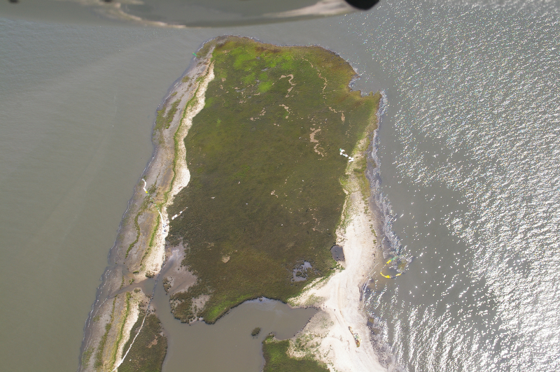
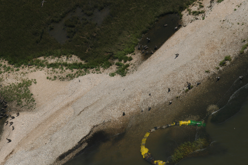
Related Photos:

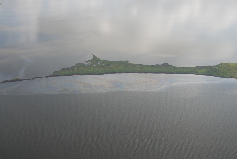
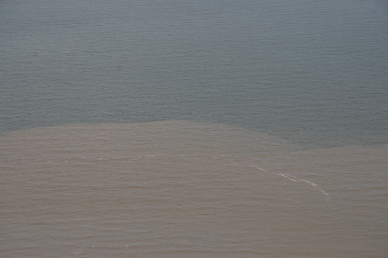
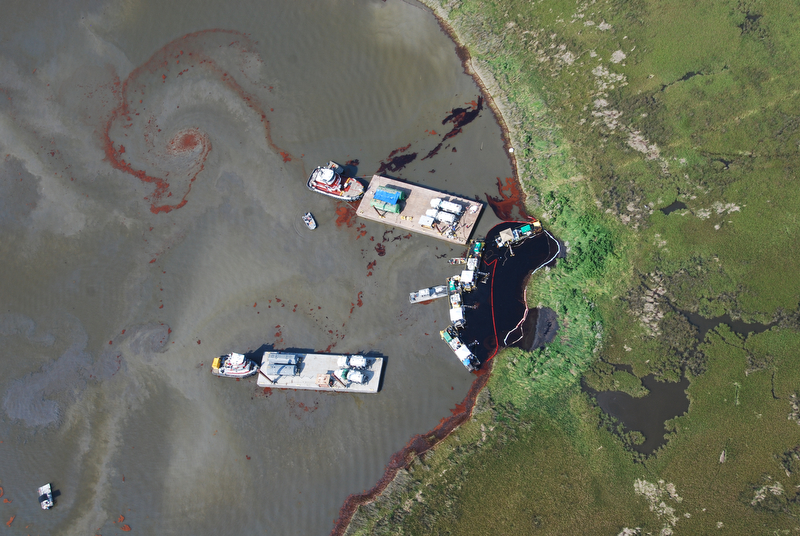
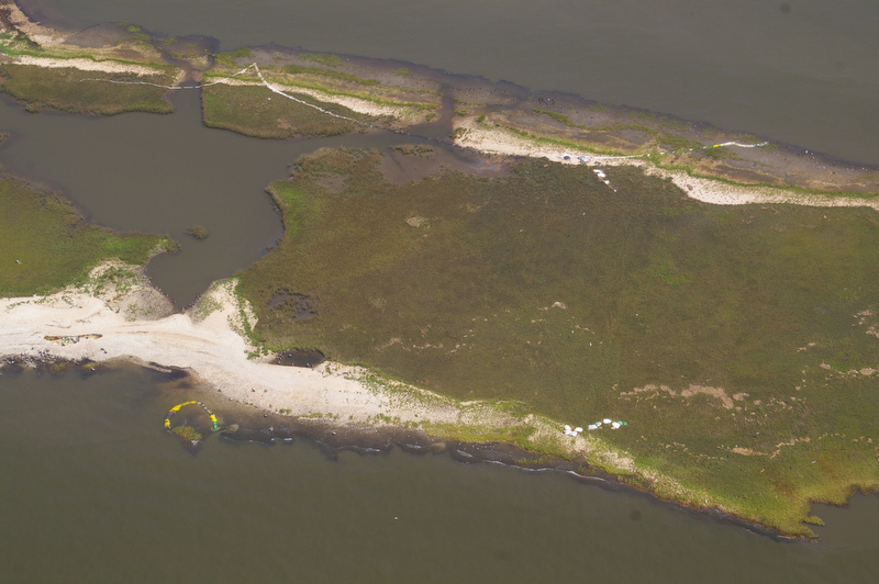
The Release

14 June 2010 Camera 2 051
14 June 2010 Camera 2 001

14 June 2010 Camera 2 099
24 June 2010 Camera 2 023
14 June 2010 Camera 2 067
18May2010 Camera2 012
18May2010 Camera2 042
18May2010 Camera1 148
Topographic Map of St. Bernard Parish, St Bernard Parish, LA, USA
Find elevation by address:

Places in St. Bernard Parish, St Bernard Parish, LA, USA:
Places near St. Bernard Parish, St Bernard Parish, LA, USA:
E
Yscloskey Hwy, St Bernard, LA, USA
Tarpon Rd, Bay St Louis, MS, USA
Silver Slipper Casino
Central Ave, Bay St Louis, MS, USA
920 S Beach Blvd
734 S Beach Blvd
Long Street
125 Sears Ave
722 S Beach Blvd
704 S Beach Blvd
218 2nd St
5218 Bordage St
612 S Beach Blvd
124 Market St
141 Market St
102 Ballview Dr
143 Waveland Ave
125 Dogwood Dr
408 S Beach Blvd
Recent Searches:
- Elevation of Corso Fratelli Cairoli, 35, Macerata MC, Italy
- Elevation of Tallevast Rd, Sarasota, FL, USA
- Elevation of 4th St E, Sonoma, CA, USA
- Elevation of Black Hollow Rd, Pennsdale, PA, USA
- Elevation of Oakland Ave, Williamsport, PA, USA
- Elevation of Pedrógão Grande, Portugal
- Elevation of Klee Dr, Martinsburg, WV, USA
- Elevation of Via Roma, Pieranica CR, Italy
- Elevation of Tavkvetili Mountain, Georgia
- Elevation of Hartfords Bluff Cir, Mt Pleasant, SC, USA