Elevation of Yerradoddi, Andhra Pradesh, India
Location: India > Andhra Pradesh > Anantapuram >
Longitude: 78.1364889
Latitude: 14.1672212
Elevation: 496m / 1627feet
Barometric Pressure: 96KPa
Elevation Map:
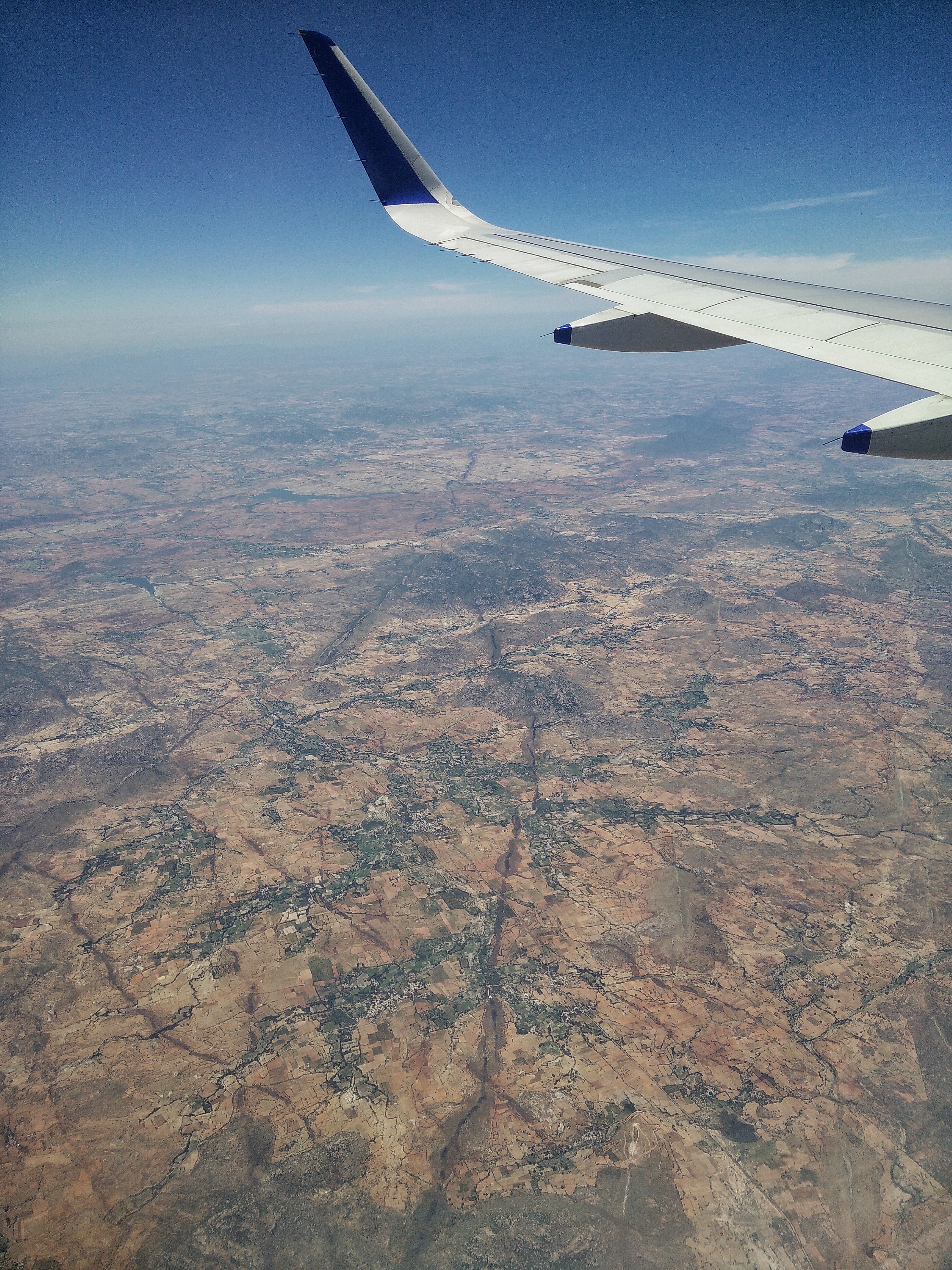
Satellite Map:
Related Photos:
IMG_20150611_114914-01
Topographic Map of Yerradoddi, Andhra Pradesh, India
Find elevation by address:

Places near Yerradoddi, Andhra Pradesh, India:
Nallamada
Pulivendula
Nallacheruvupalle
Thimmampalli
Dharmavaram
Indiranagar
Gotluru
Ananthapuramu
Anantapuram
Penukonda
Kondapuram
Kamalapuram
Veerapuram
Rapthadu
Tp Road - Konaguntlapalli Road
Roddam
Proddatur
Hyway Lounge
Anantapur
Kakkalapalle Rural
Recent Searches:
- Elevation of Corso Fratelli Cairoli, 35, Macerata MC, Italy
- Elevation of Tallevast Rd, Sarasota, FL, USA
- Elevation of 4th St E, Sonoma, CA, USA
- Elevation of Black Hollow Rd, Pennsdale, PA, USA
- Elevation of Oakland Ave, Williamsport, PA, USA
- Elevation of Pedrógão Grande, Portugal
- Elevation of Klee Dr, Martinsburg, WV, USA
- Elevation of Via Roma, Pieranica CR, Italy
- Elevation of Tavkvetili Mountain, Georgia
- Elevation of Hartfords Bluff Cir, Mt Pleasant, SC, USA