Elevation of Kondapuram, Andhra Pradesh, India
Location: India > Andhra Pradesh > Kadapa >
Longitude: 78.1949157
Latitude: 14.7757134
Elevation: 221m / 725feet
Barometric Pressure: 99KPa
Elevation Map:
Satellite Map:
Related Photos:

The Canyon of India
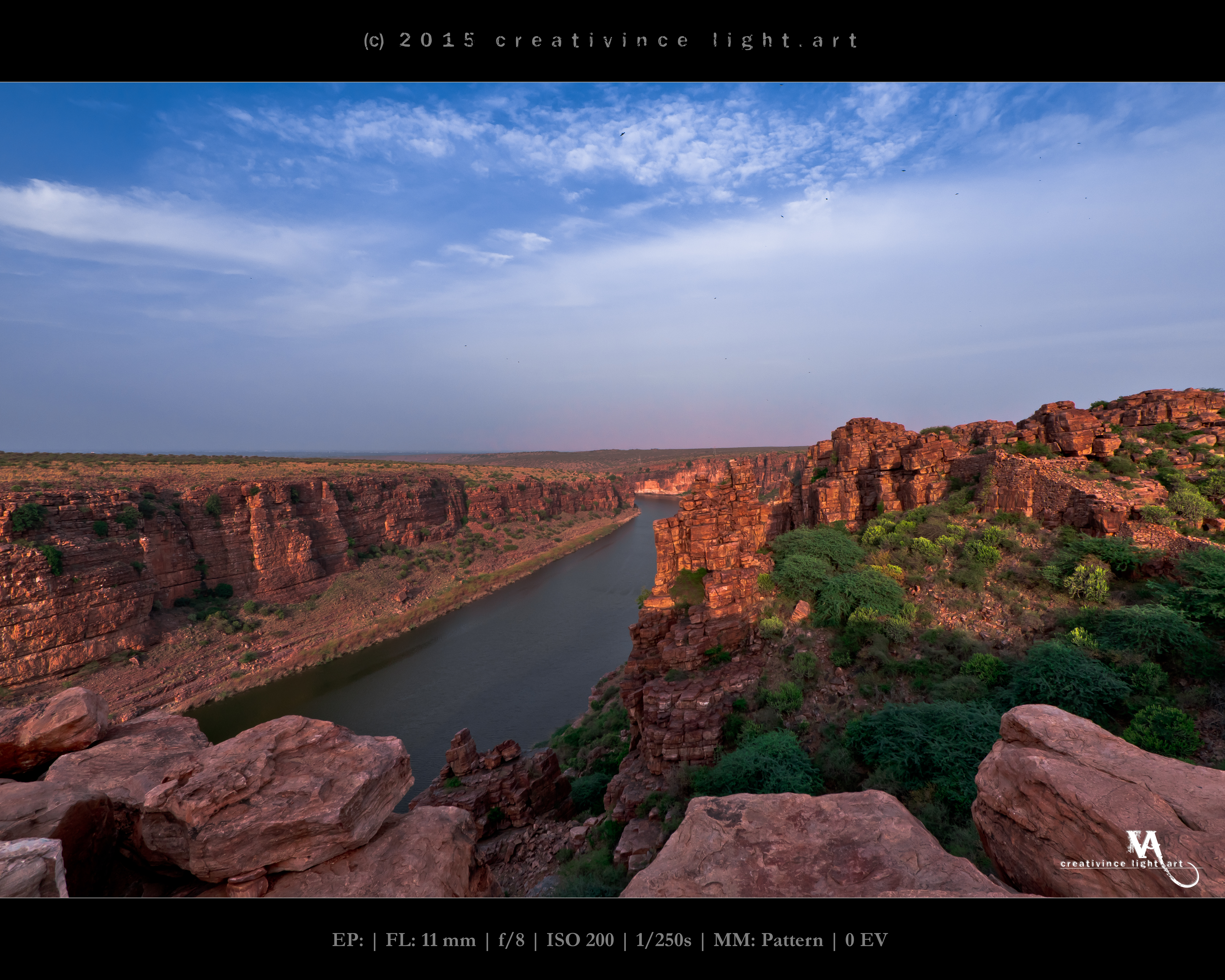
Gandikota Gorge

Gandikota Gorge

Gandikota Gorge

There comes the light...

Grand Canyon of India - Gandikota
Topographic Map of Kondapuram, Andhra Pradesh, India
Find elevation by address:

Places near Kondapuram, Andhra Pradesh, India:
Veerapuram
Tp Road - Konaguntlapalli Road
Tadipatri
Thimmampalli
Kolimigundla
Nagireddypalle
Govindapalle
Fino Payments Bank
Nallacheruvupalle
Pulivendula
Proddatur
Ramalayam R.jambuladinne
Reddivari Jambuladinne
Bodemmanur
Mayaluru
Rupanagudi
Pedda Yammanur
S.kothapalle
Suddamalla
Allur
Recent Searches:
- Elevation of Corso Fratelli Cairoli, 35, Macerata MC, Italy
- Elevation of Tallevast Rd, Sarasota, FL, USA
- Elevation of 4th St E, Sonoma, CA, USA
- Elevation of Black Hollow Rd, Pennsdale, PA, USA
- Elevation of Oakland Ave, Williamsport, PA, USA
- Elevation of Pedrógão Grande, Portugal
- Elevation of Klee Dr, Martinsburg, WV, USA
- Elevation of Via Roma, Pieranica CR, Italy
- Elevation of Tavkvetili Mountain, Georgia
- Elevation of Hartfords Bluff Cir, Mt Pleasant, SC, USA