Elevation of Yelur, Maharashtra, India
Location: India > Maharashtra > Sangli >
Longitude: 74.2670834
Latitude: 16.9406012
Elevation: 566m / 1857feet
Barometric Pressure: 95KPa
Elevation Map:
Satellite Map:
Related Photos:

Sunset view captured while driving on highway.

Flood Relief : Pune
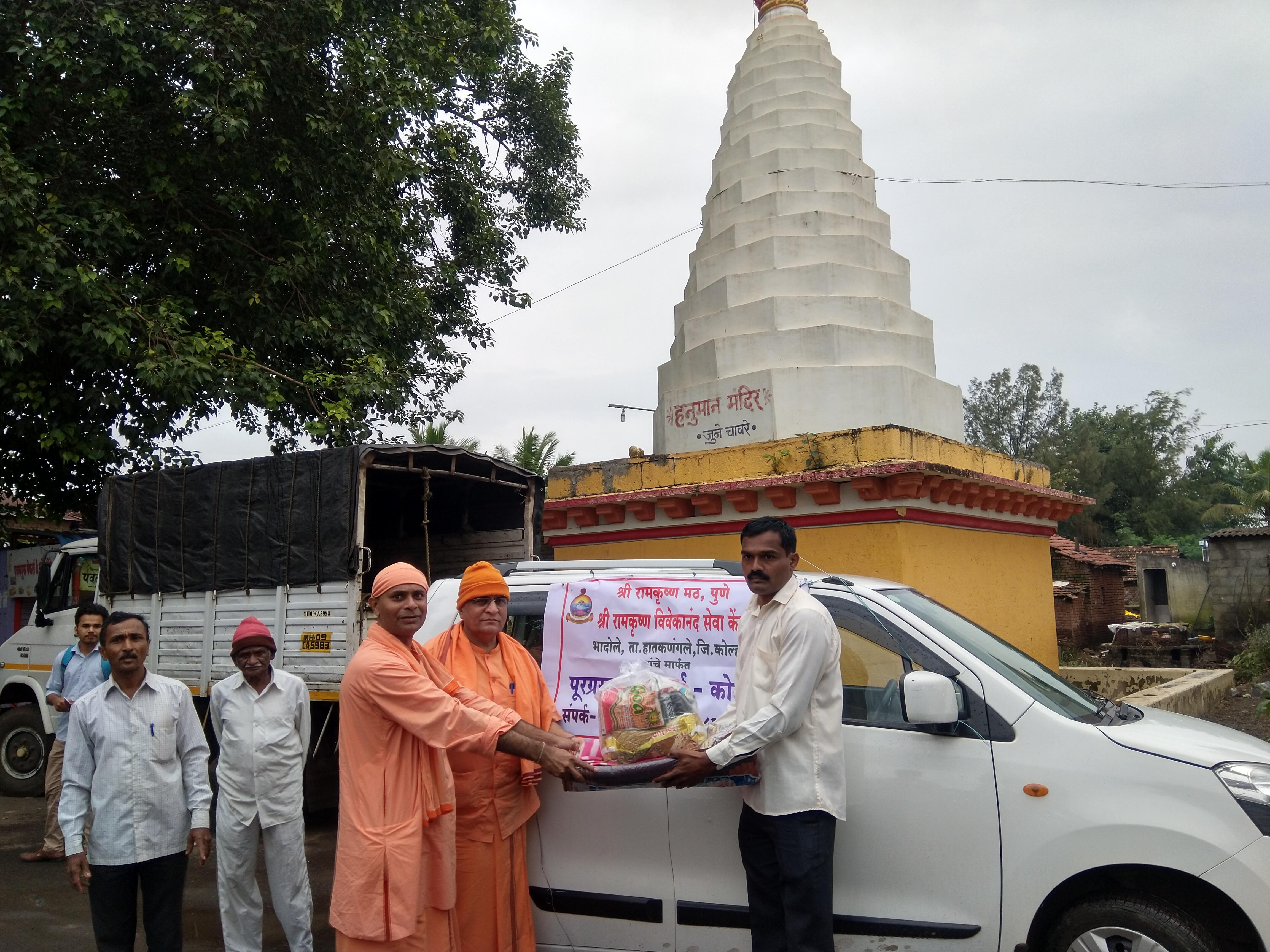
Flood Relief : Pune

Day 1:Ready to roll from hotel manikandan

Day 1: Odo after Day 0

Day 1:Parking at Hotel Manikandan
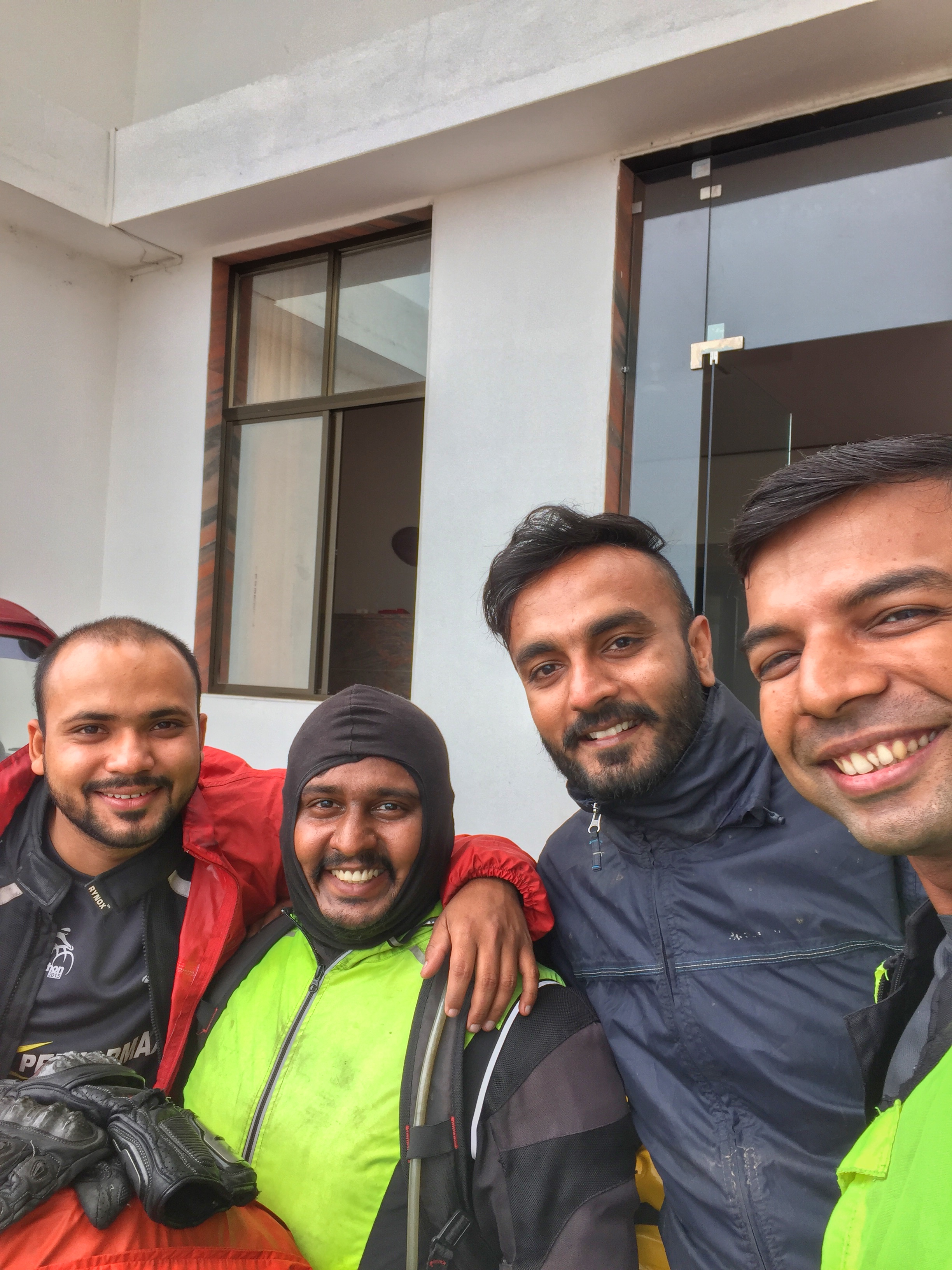
Day 1:Ready to roll from hotel manikandan

Hello hello.. ???? Modinchya bhashnachi kimaya..???? modi sarkar.. Swachha karbhar..???? #creamrollmic #soundtest #hello #chai #chaitimemasti #creamroll #picoftheday #photography #party #rain #art #aamchimumbai #award #aawaj #superma

KMT's beauty at Wadgaon near Aashta.

MH-20 / D 8002. Tasgaon depot's converted semi.
Topographic Map of Yelur, Maharashtra, India
Find elevation by address:

Places near Yelur, Maharashtra, India:
Tandulwadi
Malewadi
Yedenipani
Vashi
Chavare
Bahadurwadi
Ghunki
Shivpuri
Dhagewadi
Nave Pargaon
Lonarwadi
Vitthalwadi
Tujarpur
Shekharwadi
Dhavali
Pokharni
Kodoli
Shivaji Chowk
Shirala Naka
Shripad Nagar
Recent Searches:
- Elevation of Corso Fratelli Cairoli, 35, Macerata MC, Italy
- Elevation of Tallevast Rd, Sarasota, FL, USA
- Elevation of 4th St E, Sonoma, CA, USA
- Elevation of Black Hollow Rd, Pennsdale, PA, USA
- Elevation of Oakland Ave, Williamsport, PA, USA
- Elevation of Pedrógão Grande, Portugal
- Elevation of Klee Dr, Martinsburg, WV, USA
- Elevation of Via Roma, Pieranica CR, Italy
- Elevation of Tavkvetili Mountain, Georgia
- Elevation of Hartfords Bluff Cir, Mt Pleasant, SC, USA