Elevation of Yarnaby Rd, Hendrix, OK, USA
Location: United States > Oklahoma > Bryan County >
Longitude: -96.256964
Latitude: 33.791359
Elevation: 175m / 574feet
Barometric Pressure: 99KPa
Elevation Map:
Satellite Map:
Related Photos:

Sowells Bluff - Red River
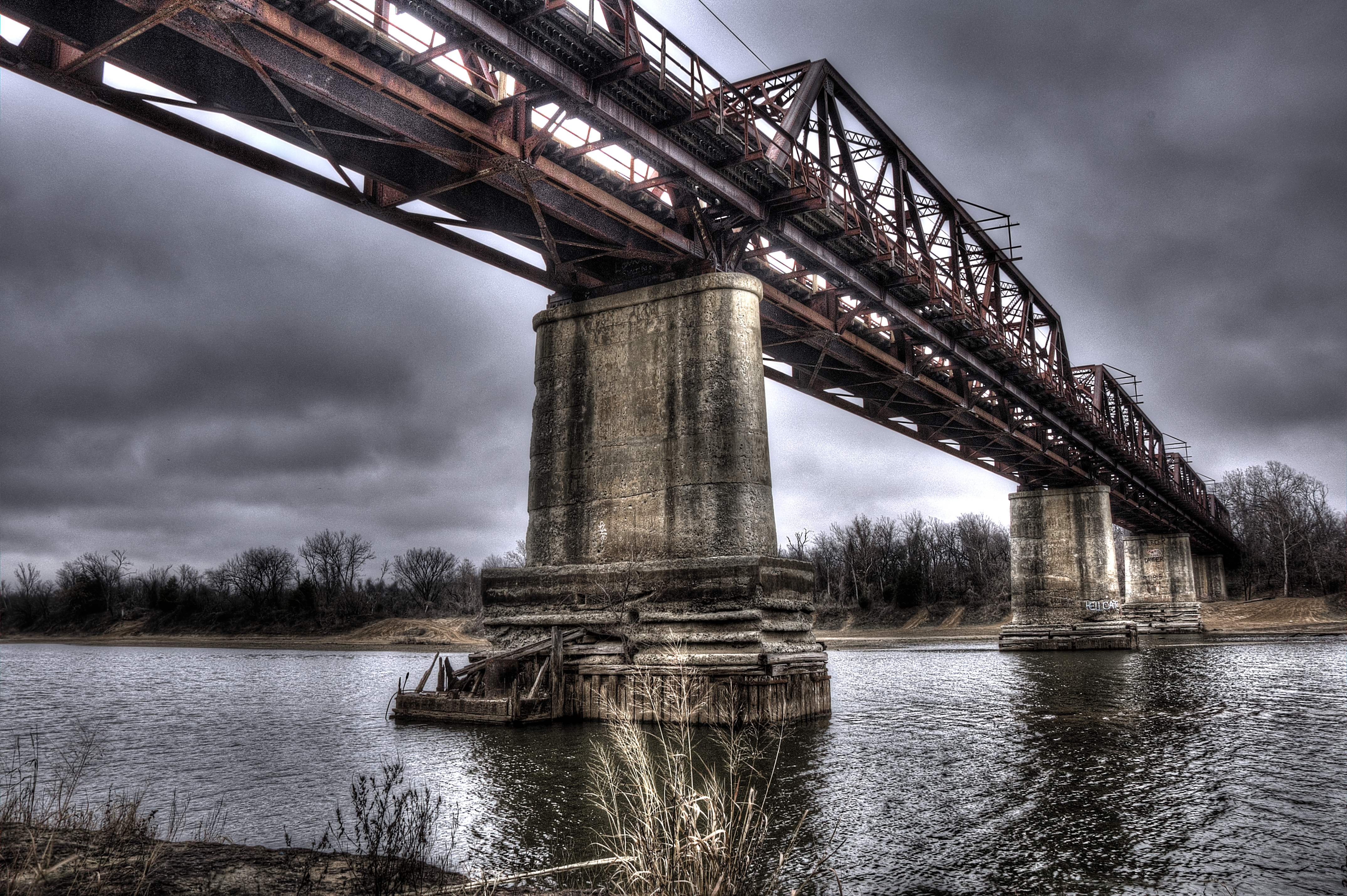
Carpenter's Bluff Bridge Looking West

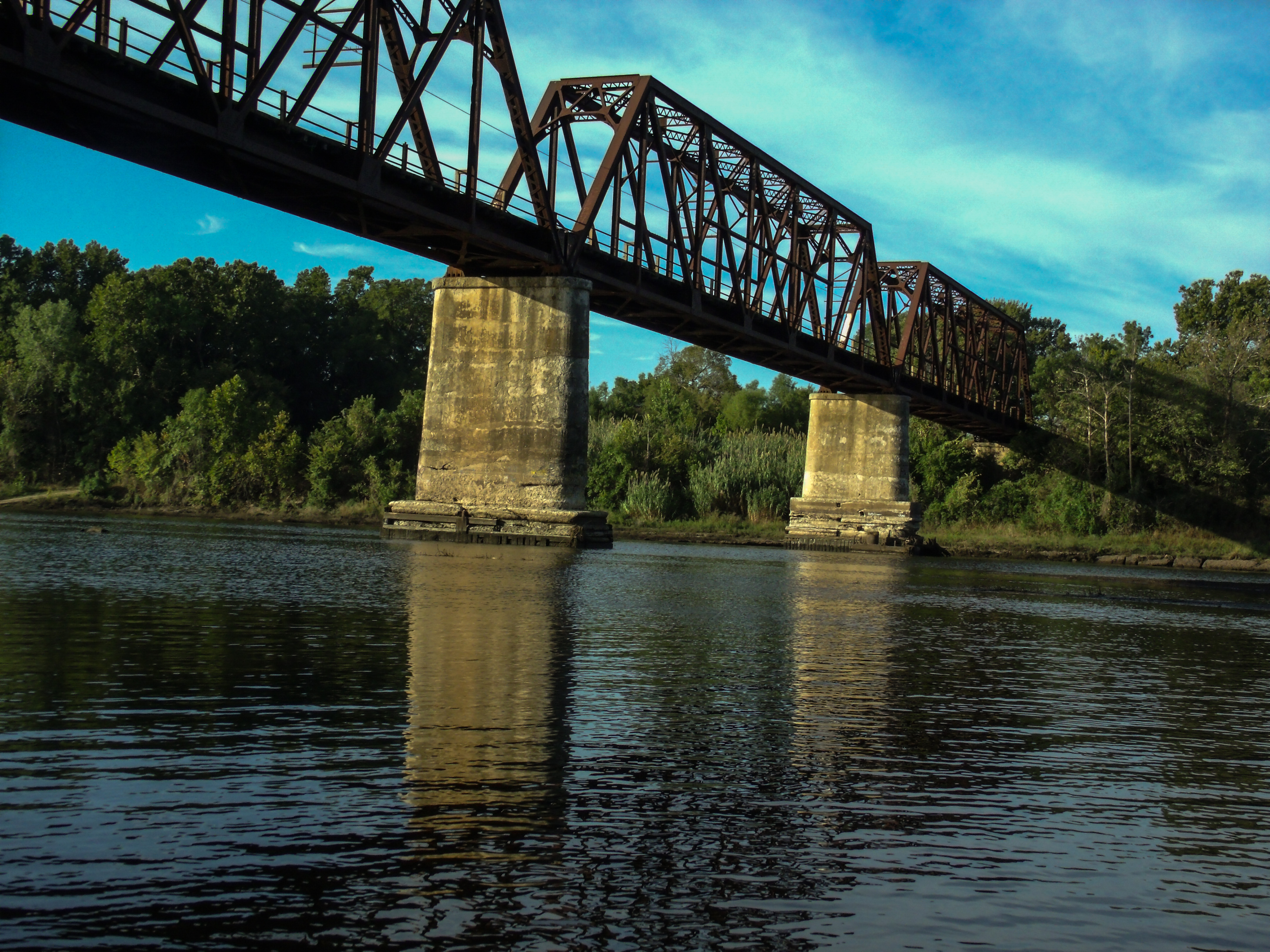
Carpenter's Bluff Bridge Looking East

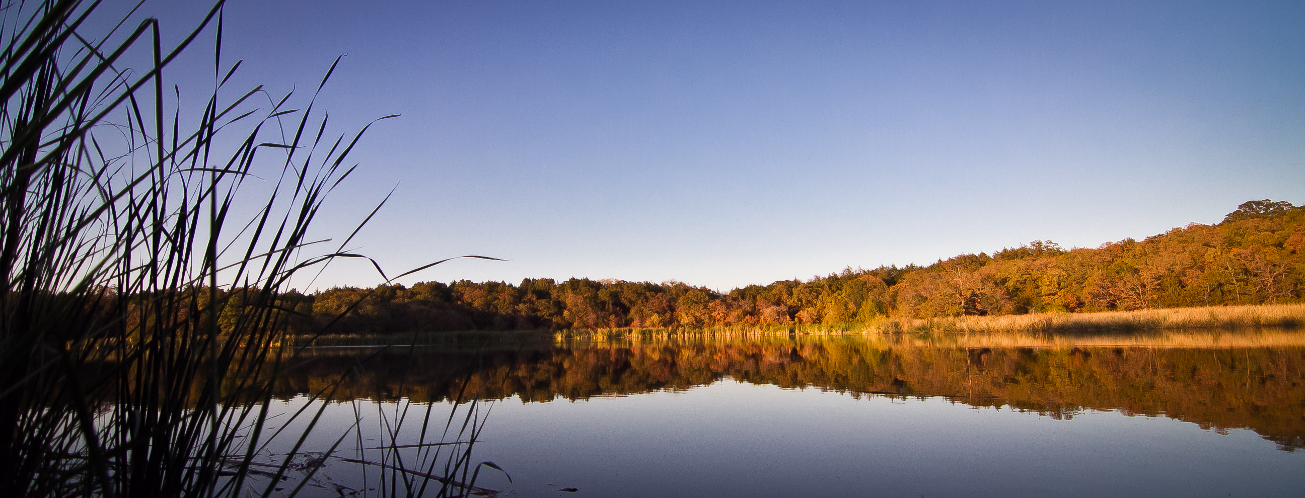
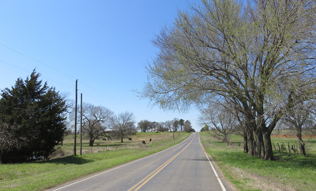
Yarnaby - Landscape

Moonrise at Lake Fannin

Sowells Bluff - Wide River

Sowells Bluff - Red River Boater
OLD BRIDGE CROSSING STATES

Sowells Bluff - Red River Bend
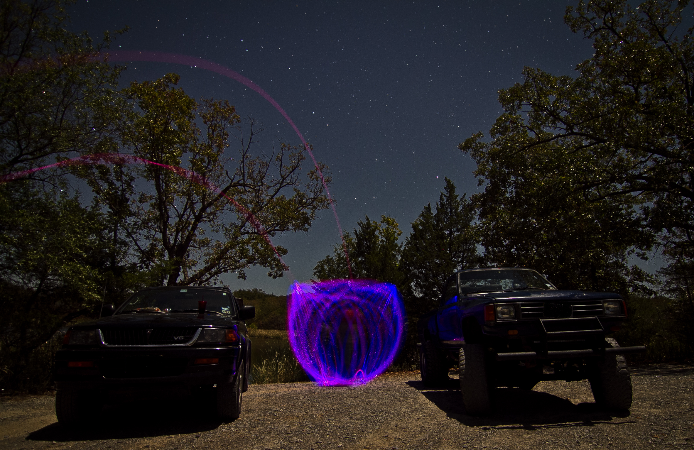
Light Painting at Lake Fannin
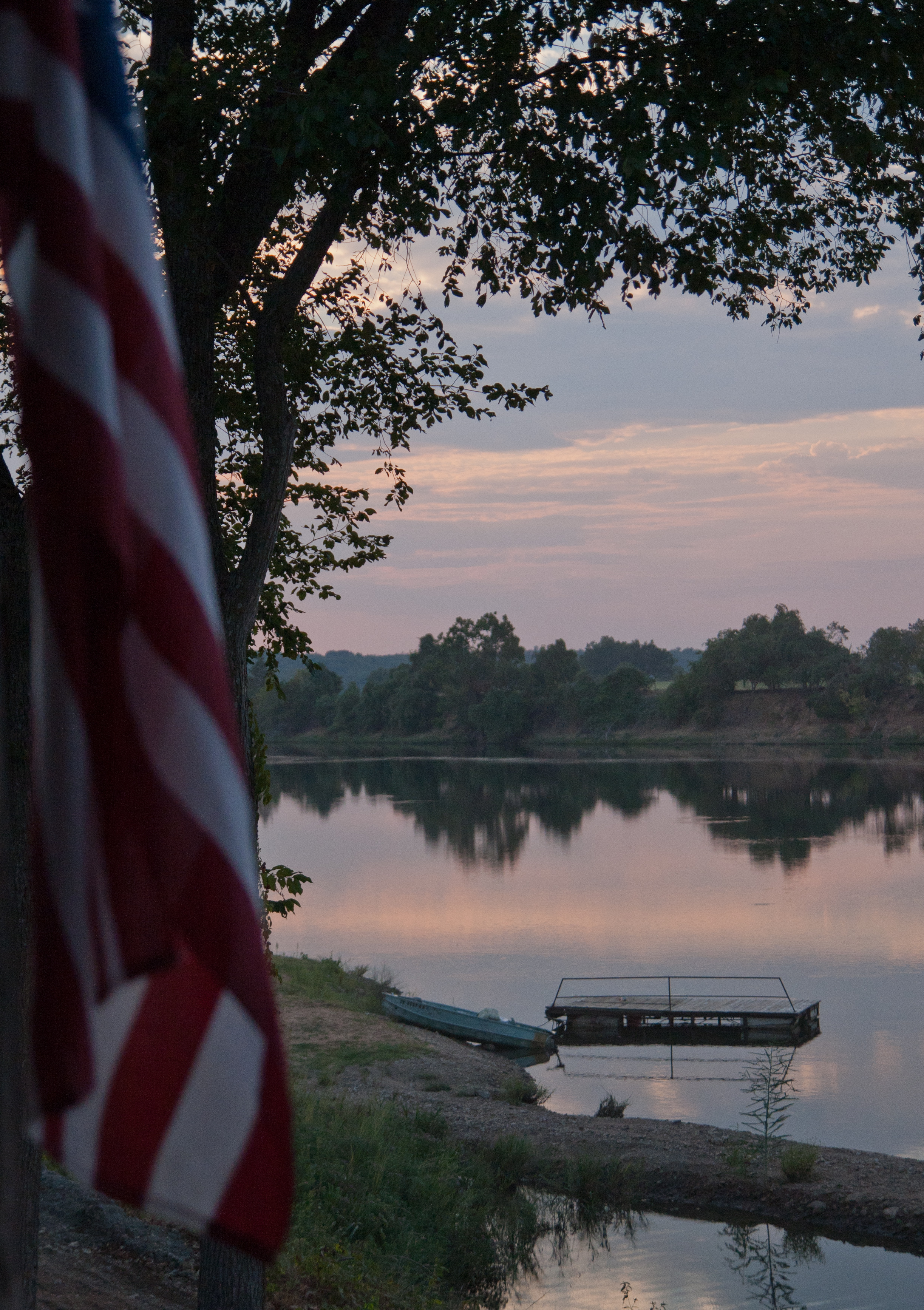
Lake Fannin Sunset

Light Painting at Lake Fannin

Light Painting at Lake Fannin
On the River
Southern Oklahoma Landscape (Bryan County, Oklahoma)
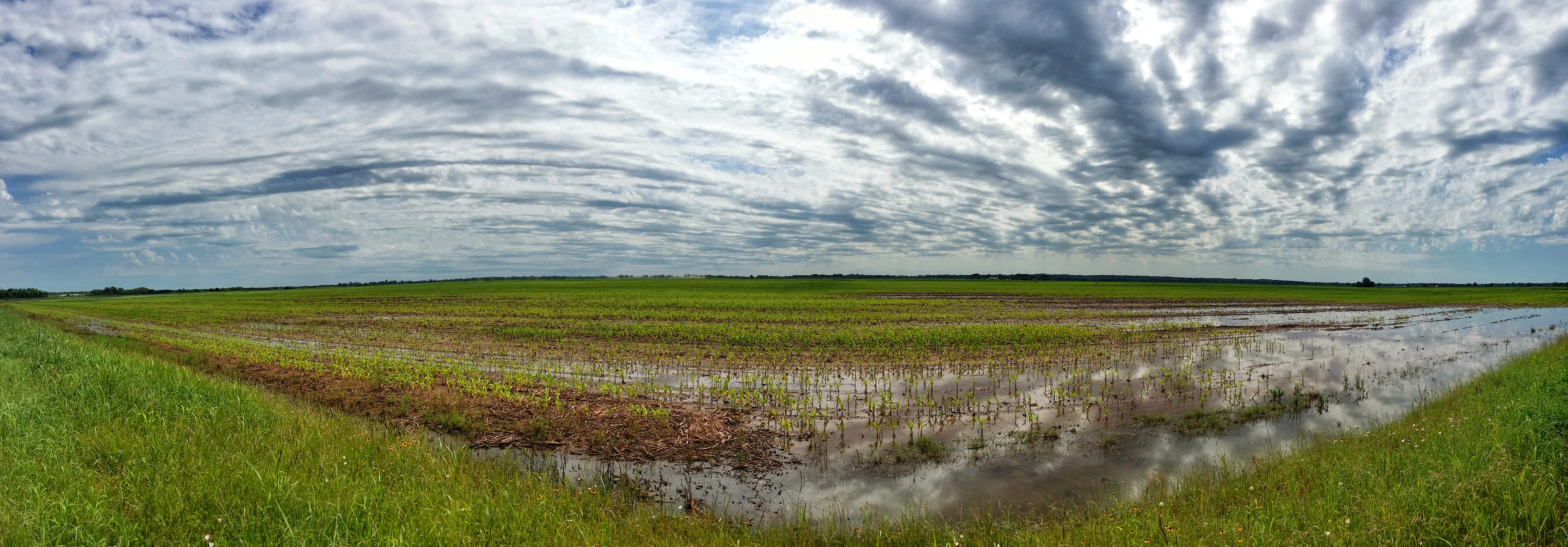
Flooded Oklahoma field panorama
Topographic Map of Yarnaby Rd, Hendrix, OK, USA
Find elevation by address:

Places near Yarnaby Rd, Hendrix, OK, USA:
Yuba
1367 Romia Rd
1367 Romia Rd
OK-70E, Bokchito, OK, USA
Bryan County
300 Hendrix Rd
9363 E Fm 273
Caney Creek Rd, Calera, OK, USA
Carpenters Bluff Rd, Denison, TX, USA
Ivanhoe, TX, USA
Cr, Telephone, TX, USA
2940 Co Rd 2130
175 Timber Ridge Dr
1616 Winnett Rd
1616 N3680 Rd
Calera
Scott St, Durant, OK, USA
NE 2nd Ave, Durant, OK, USA
The Jubilation House
Telephone
Recent Searches:
- Elevation of Corso Fratelli Cairoli, 35, Macerata MC, Italy
- Elevation of Tallevast Rd, Sarasota, FL, USA
- Elevation of 4th St E, Sonoma, CA, USA
- Elevation of Black Hollow Rd, Pennsdale, PA, USA
- Elevation of Oakland Ave, Williamsport, PA, USA
- Elevation of Pedrógão Grande, Portugal
- Elevation of Klee Dr, Martinsburg, WV, USA
- Elevation of Via Roma, Pieranica CR, Italy
- Elevation of Tavkvetili Mountain, Georgia
- Elevation of Hartfords Bluff Cir, Mt Pleasant, SC, USA