Elevation of OK-70E, Bokchito, OK, USA
Location: United States > Oklahoma > Bryan County >
Longitude: -96.221391
Latitude: 33.902266
Elevation: 183m / 600feet
Barometric Pressure: 99KPa
Elevation Map:
Satellite Map:
Related Photos:

Yarnaby - Landscape
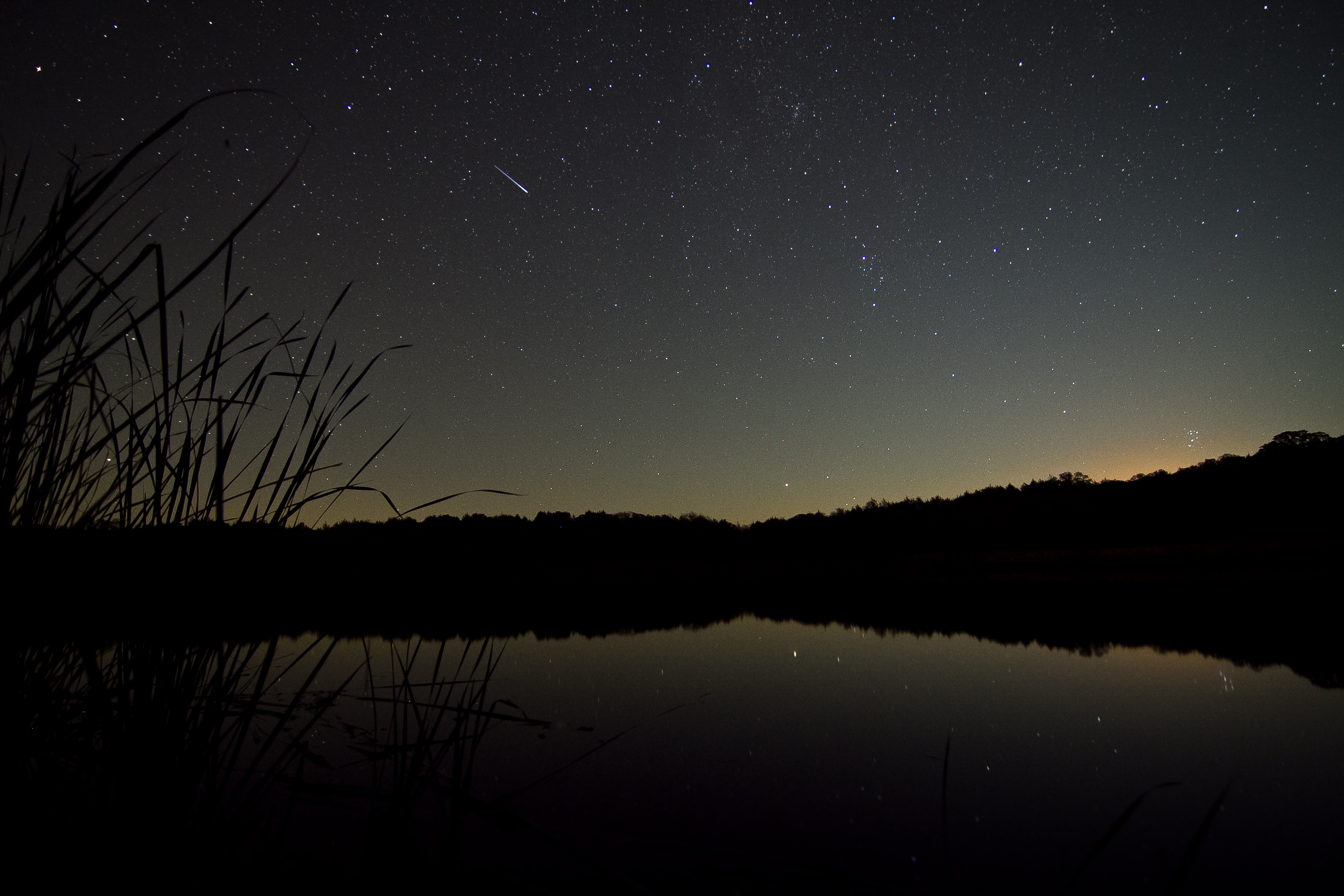
Moonrise at Lake Fannin
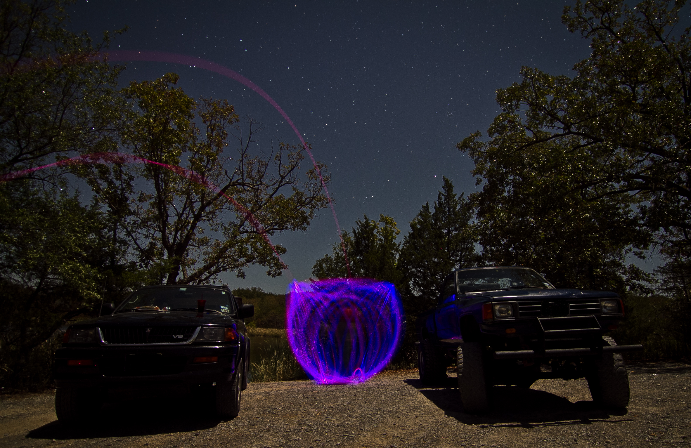
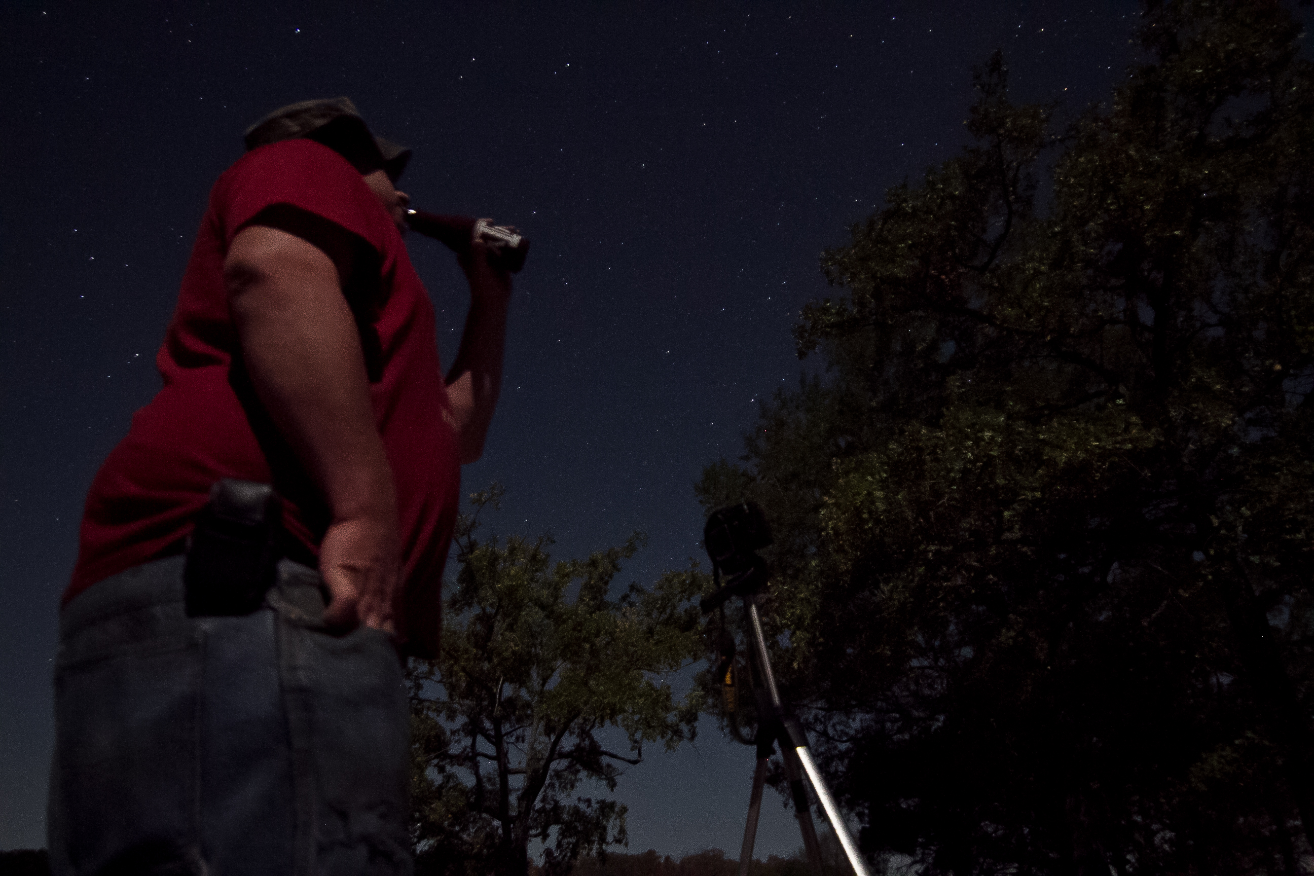
Light Painting at Lake Fannin
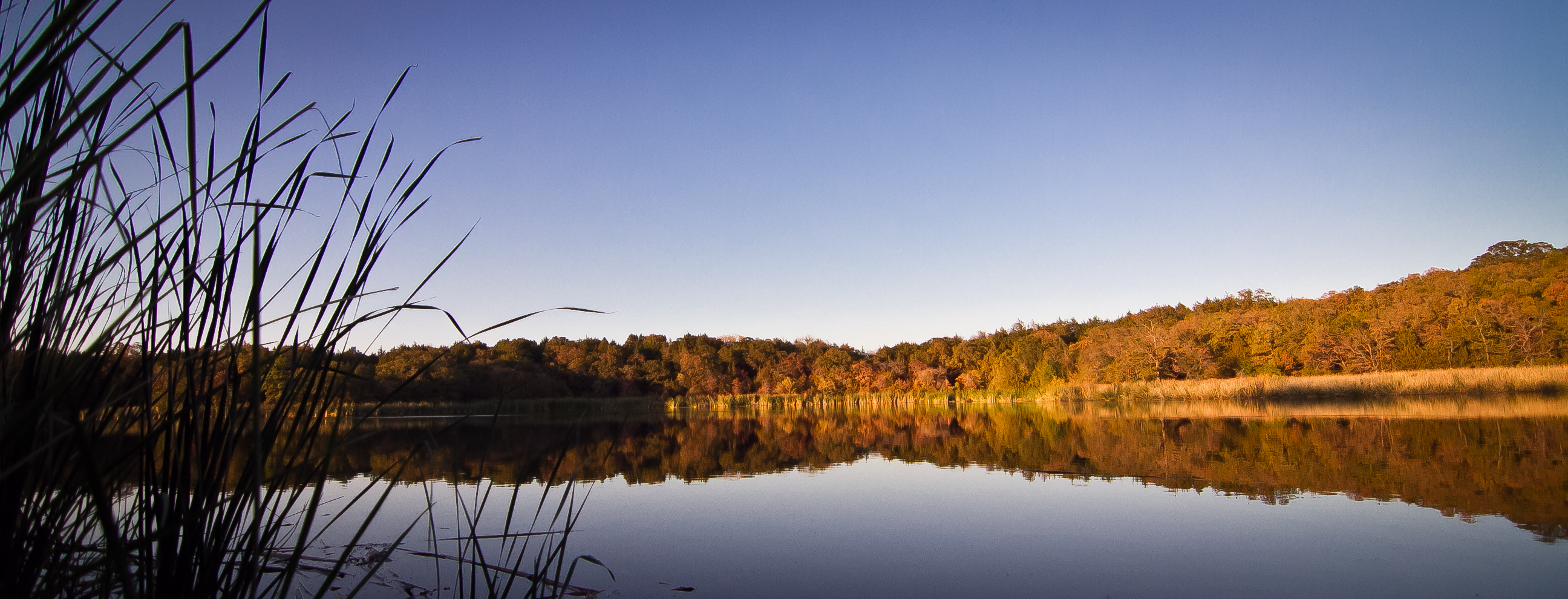
Lake Fannin Sunset

Light Painting at Lake Fannin

Light Painting at Lake Fannin
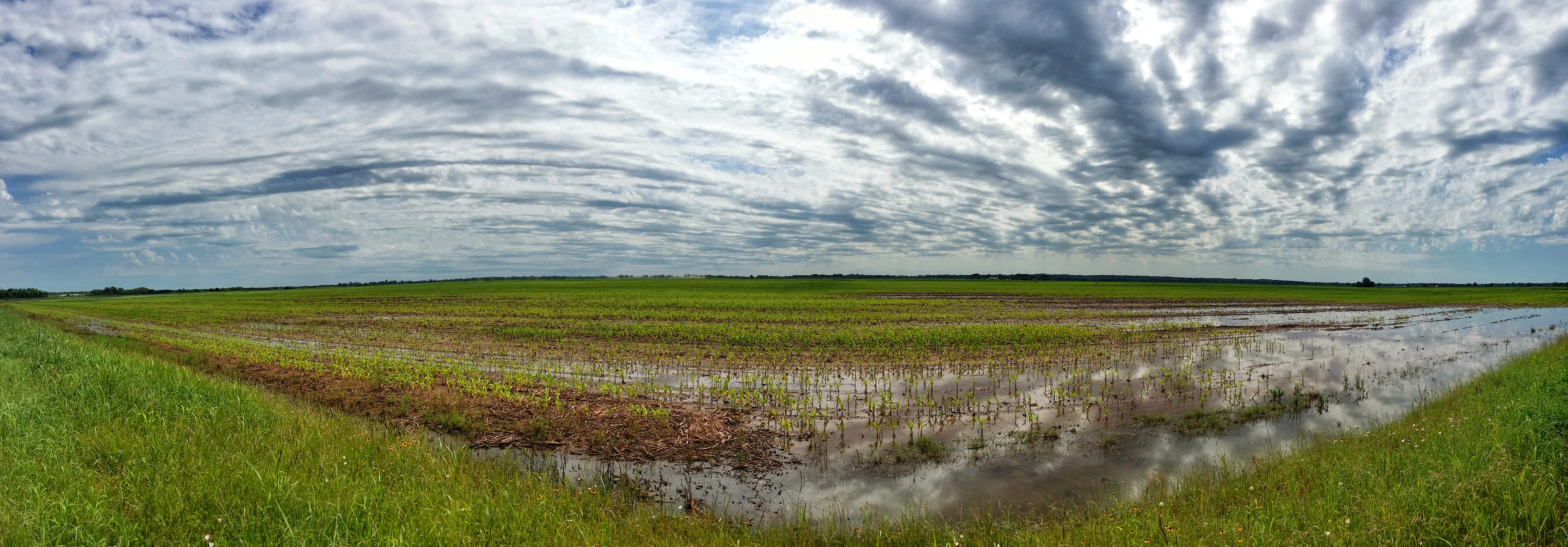
Flooded Oklahoma field panorama

Bokchito, Oklahoma
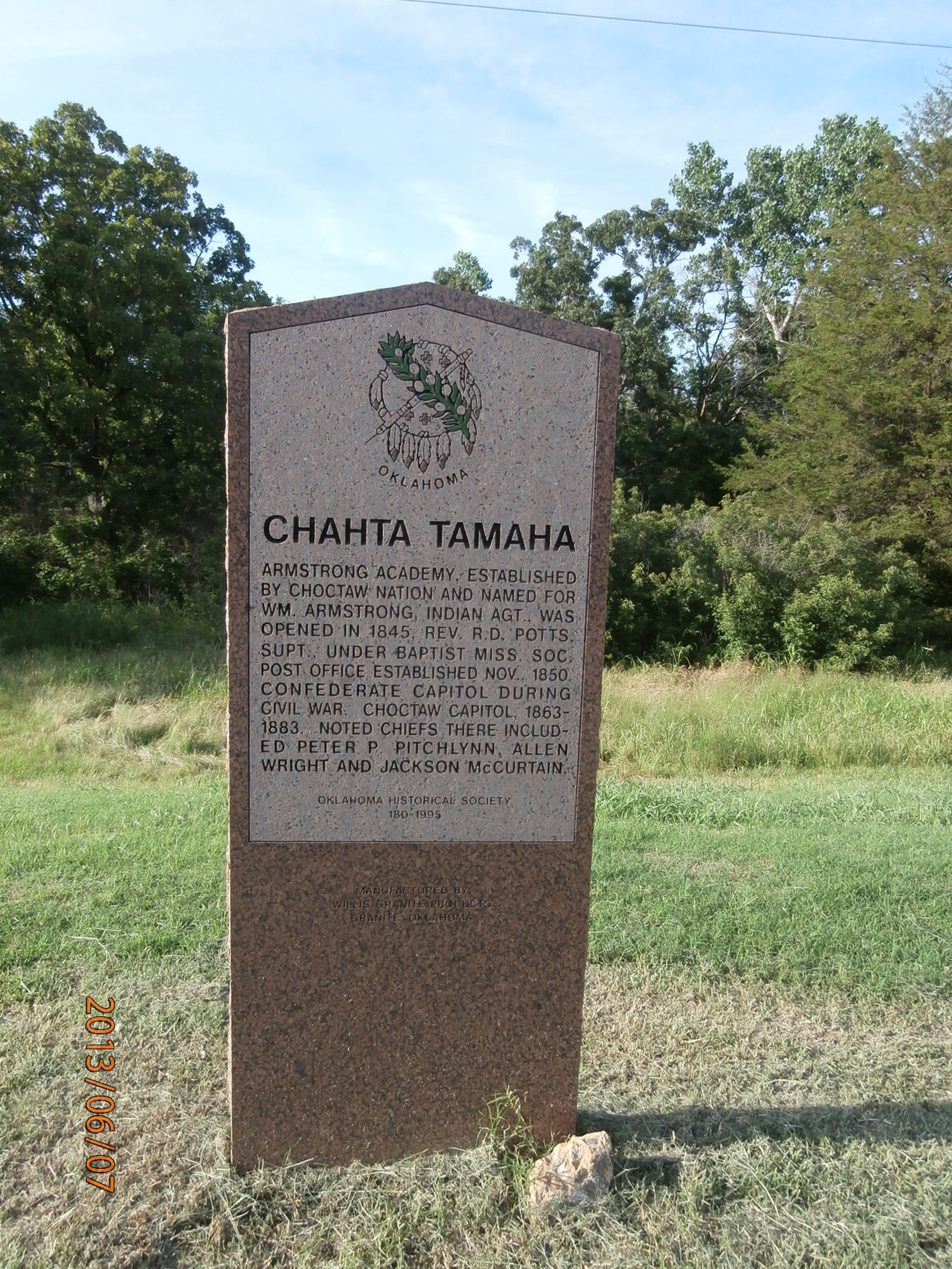
Chahta Tamaha

Arnett Road Church
Post Office 74721 (Albany, Oklahoma)
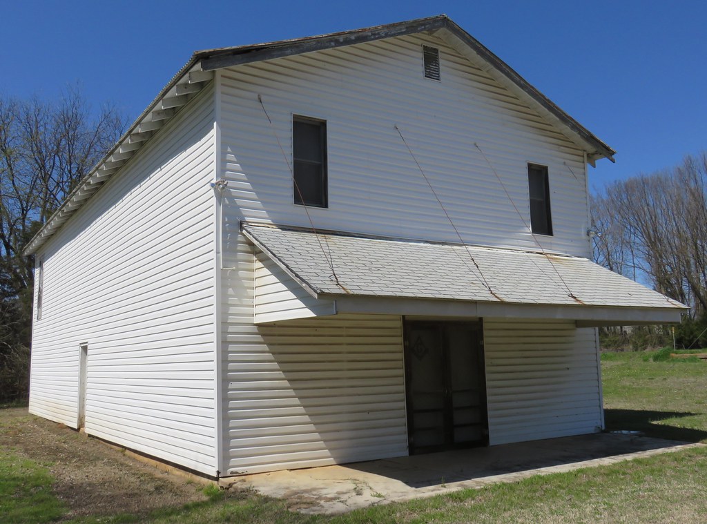
Old Masonic Lodge (Albany, Oklahoma)

Yarnaby - Bales

Yarnaby - Emptiness

Yarnaby - Stock of Grain
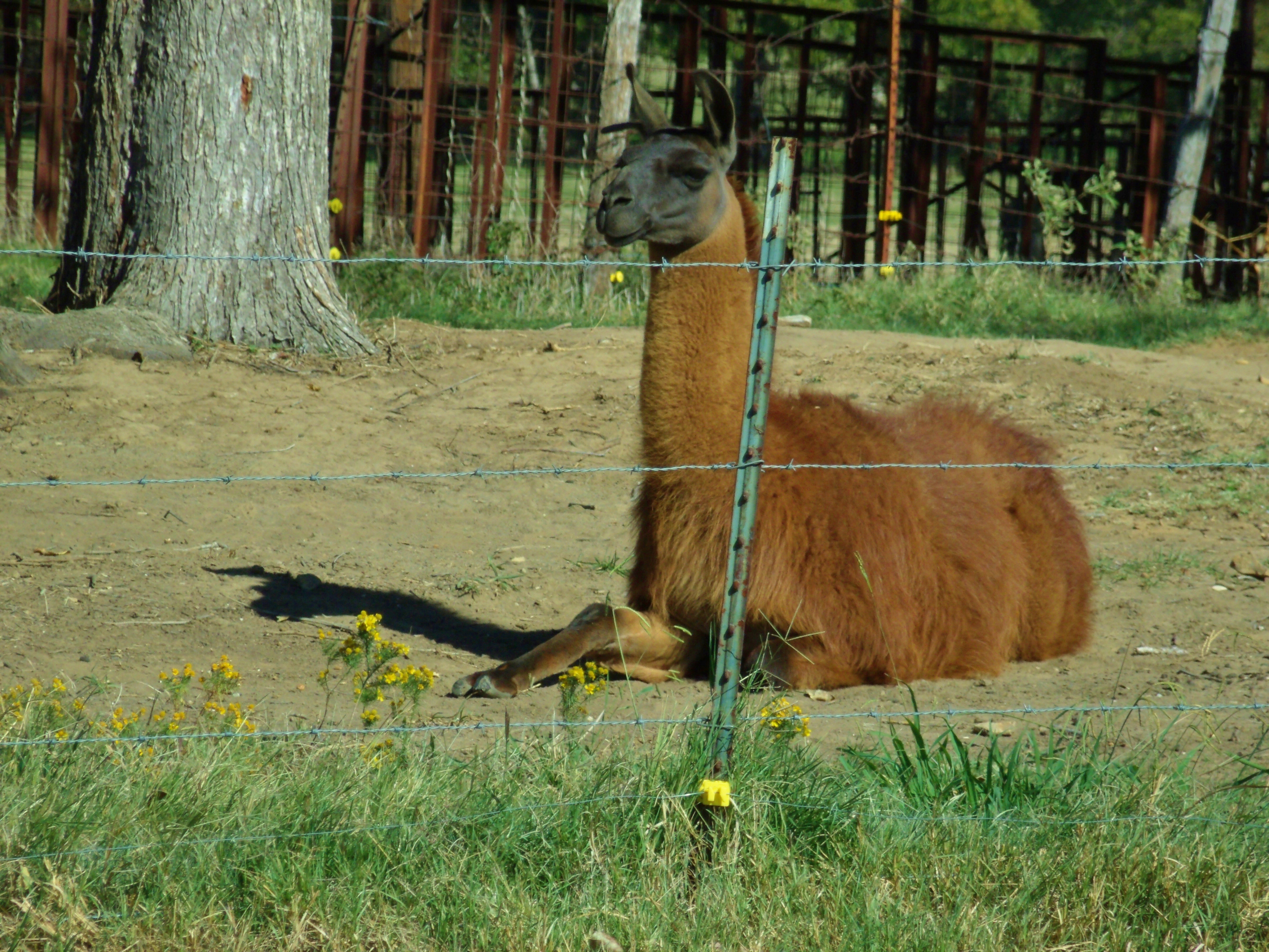
LLAMA ALERT
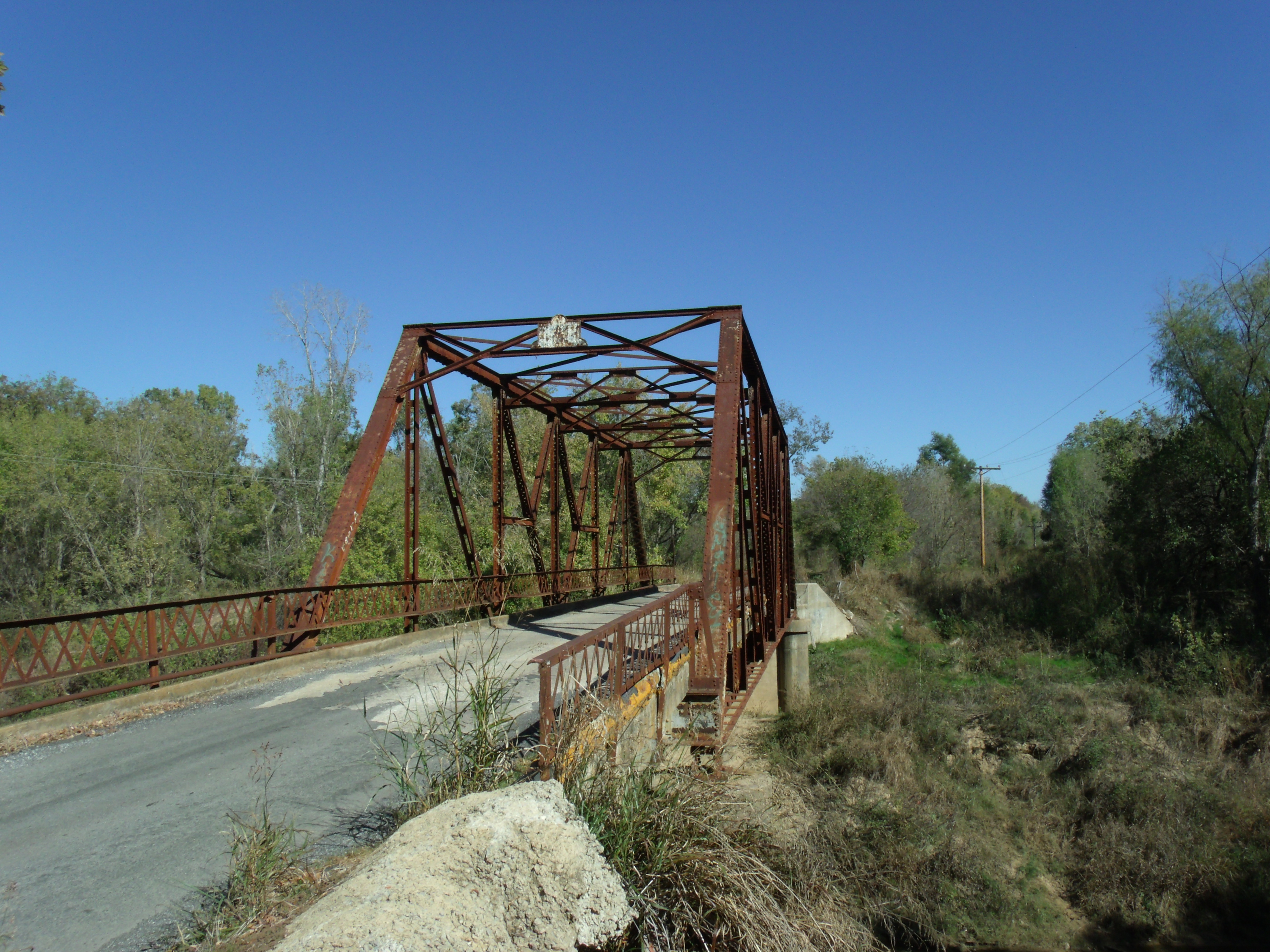
Old iron bridge
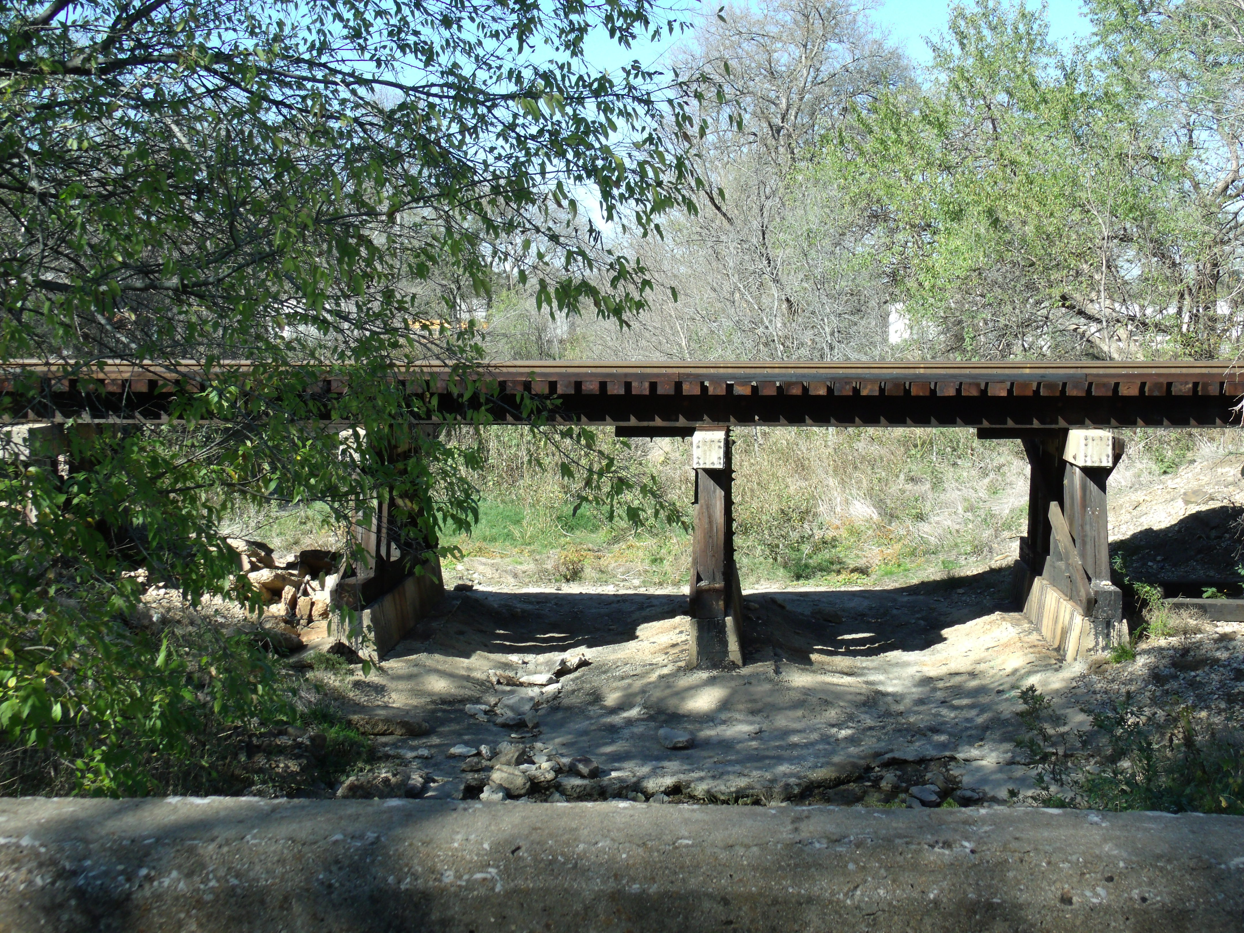
Railroad Bridge

It's not me & ZZ Top...
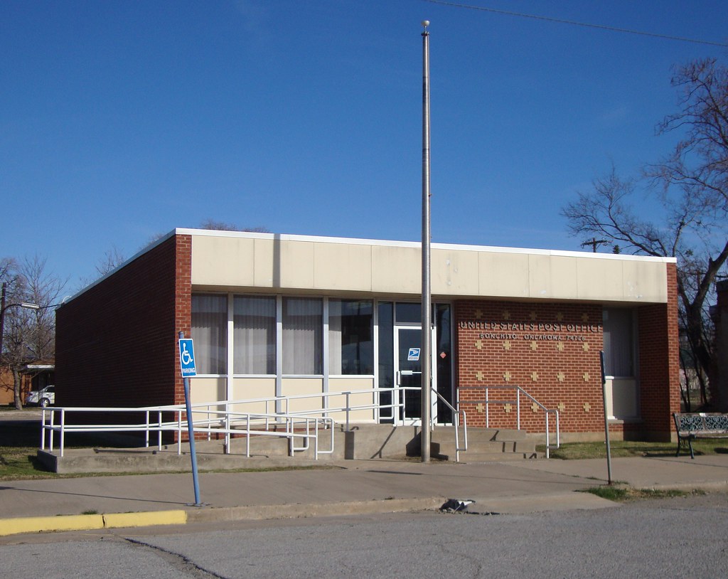
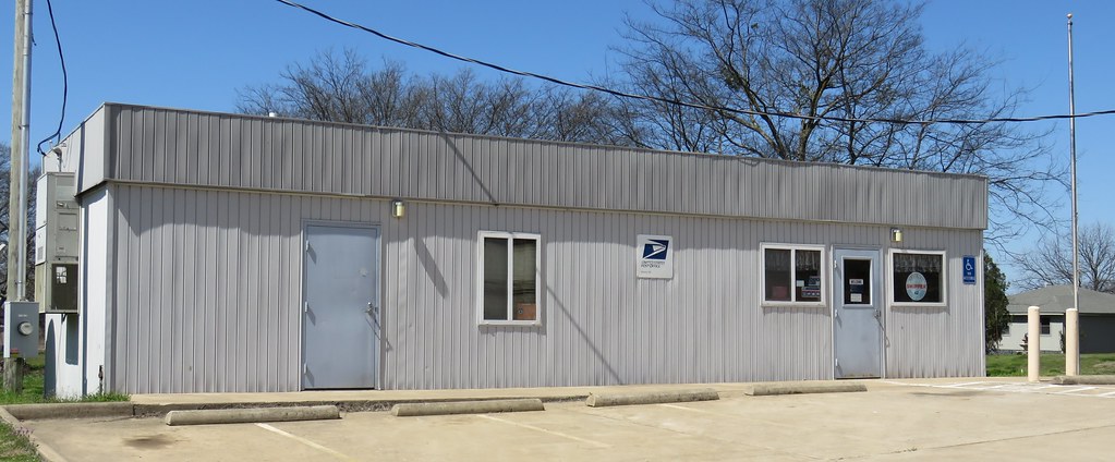
Post Office 74726 (Bokchito, Oklahoma)
Swig Time
Topographic Map of OK-70E, Bokchito, OK, USA
Find elevation by address:

Places near OK-70E, Bokchito, OK, USA:
1367 Romia Rd
1367 Romia Rd
Yuba
Bryan County
Yarnaby Rd, Hendrix, OK, USA
Oklahoma 22
Bokchito
Caney Creek Rd, Calera, OK, USA
Scott St, Durant, OK, USA
Cr, Telephone, TX, USA
2940 Co Rd 2130
NE 2nd Ave, Durant, OK, USA
9363 E Fm 273
The Jubilation House
802 W University Blvd
W Main St, Durant, OK, USA
Ivanhoe, TX, USA
Durant
Hyde Lake Rd, Bennington, OK, USA
Calera
Recent Searches:
- Elevation of Corso Fratelli Cairoli, 35, Macerata MC, Italy
- Elevation of Tallevast Rd, Sarasota, FL, USA
- Elevation of 4th St E, Sonoma, CA, USA
- Elevation of Black Hollow Rd, Pennsdale, PA, USA
- Elevation of Oakland Ave, Williamsport, PA, USA
- Elevation of Pedrógão Grande, Portugal
- Elevation of Klee Dr, Martinsburg, WV, USA
- Elevation of Via Roma, Pieranica CR, Italy
- Elevation of Tavkvetili Mountain, Georgia
- Elevation of Hartfords Bluff Cir, Mt Pleasant, SC, USA