Elevation of Yarmouth, NS, Canada
Location: Canada > Nova Scotia > Yarmouth County >
Longitude: -66.007091
Latitude: 43.9669478
Elevation: 54m / 177feet
Barometric Pressure: 101KPa
Elevation Map:
Satellite Map:
Related Photos:
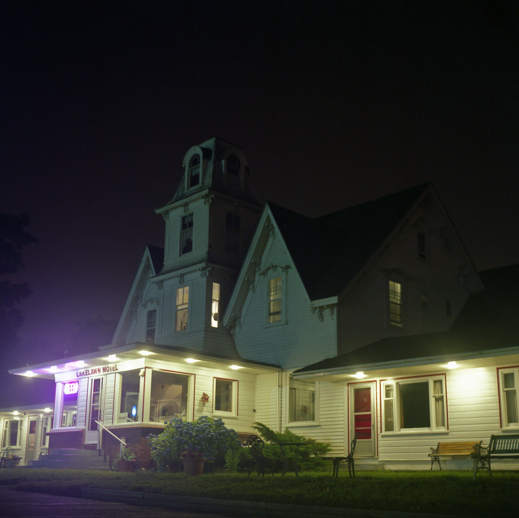
Lakelawn Motel
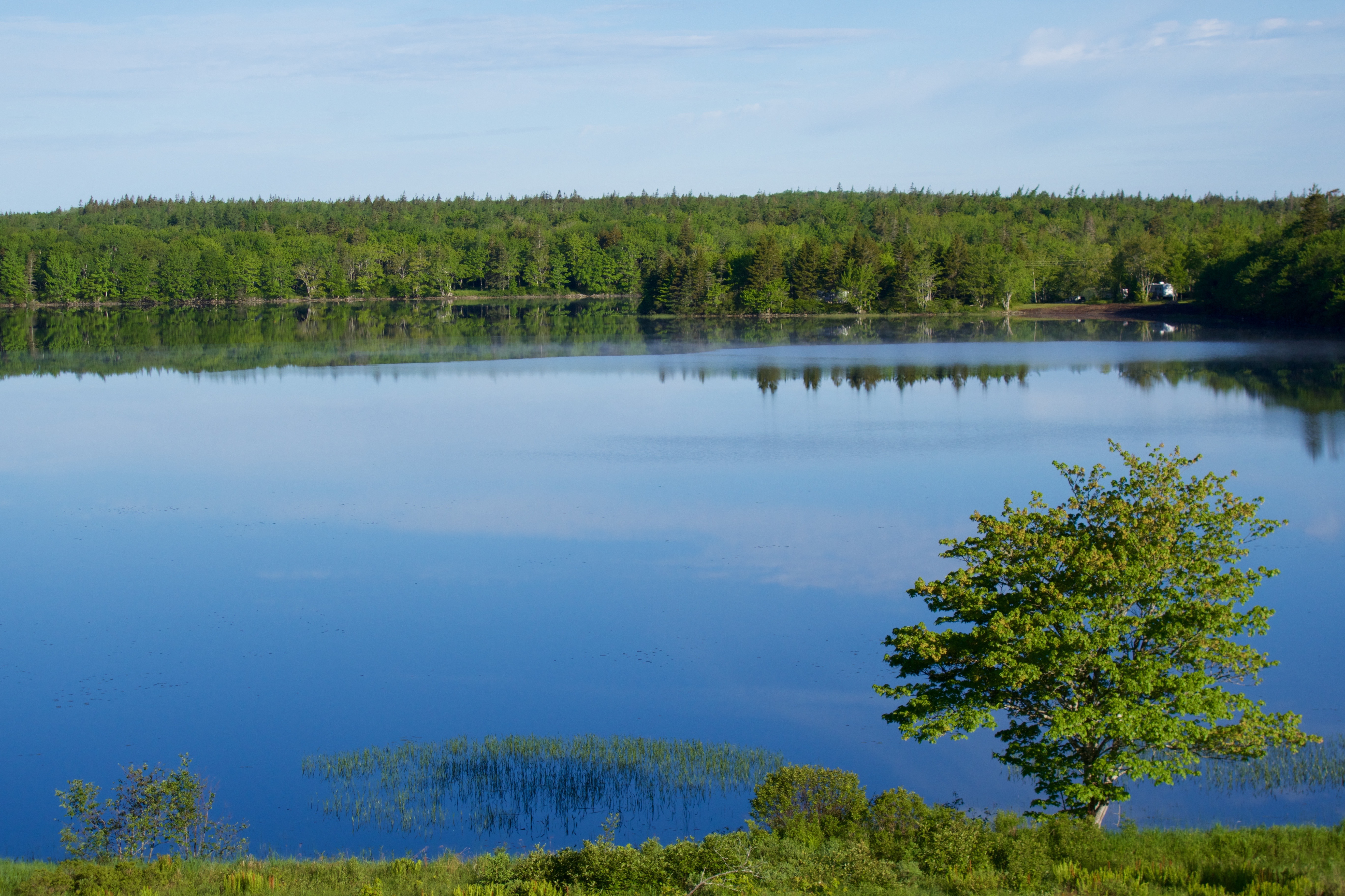
Gorgeous view from my parent's house
Rundreise USA-Canada 17-34-00 Uhr 28. September 2009.jpg

Nova Scotia Farm Sunrise
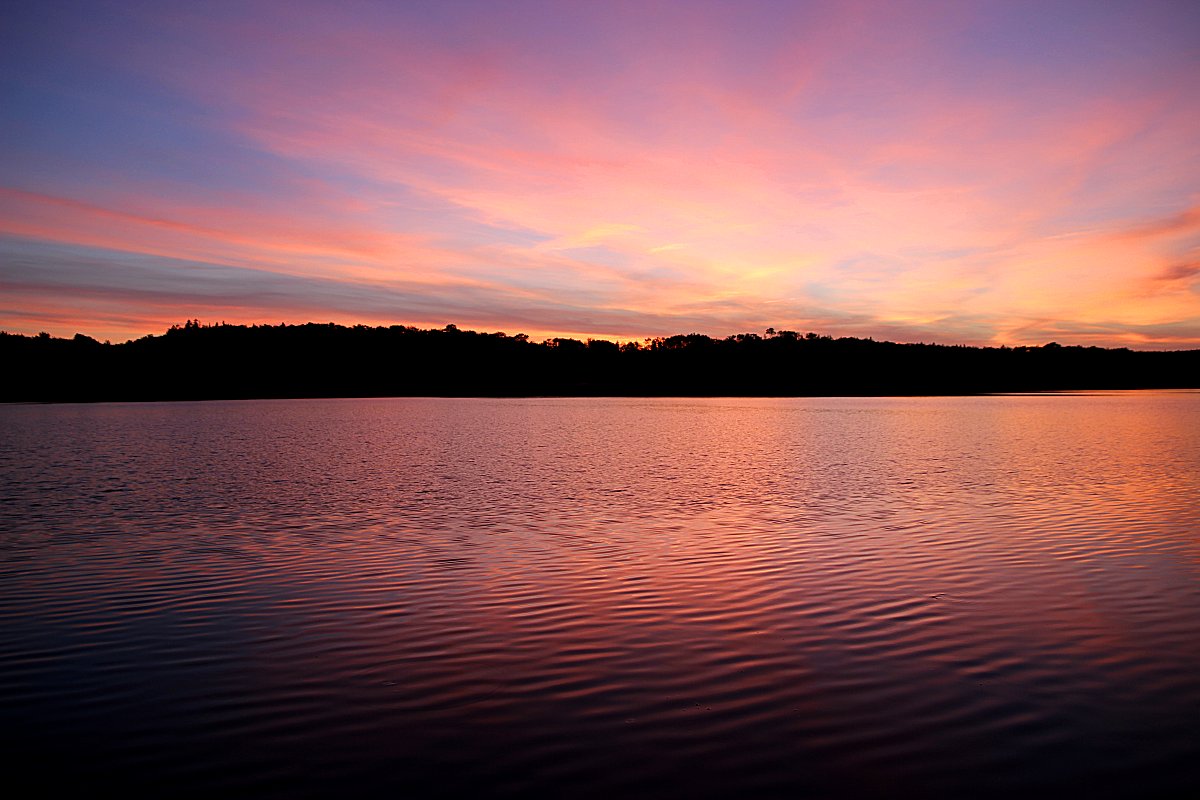
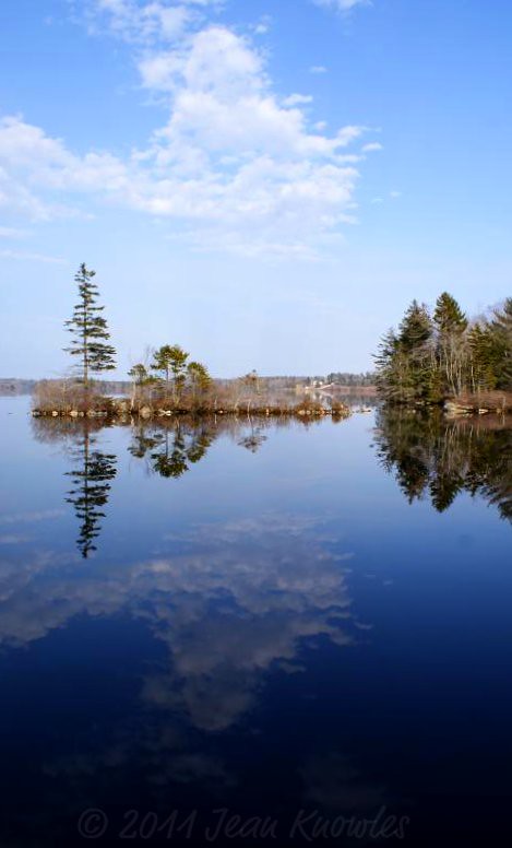
Ellenwood Sunset

Shoe Factory Falls

Acadia trip
Spring skies

Shoe Factory Falls
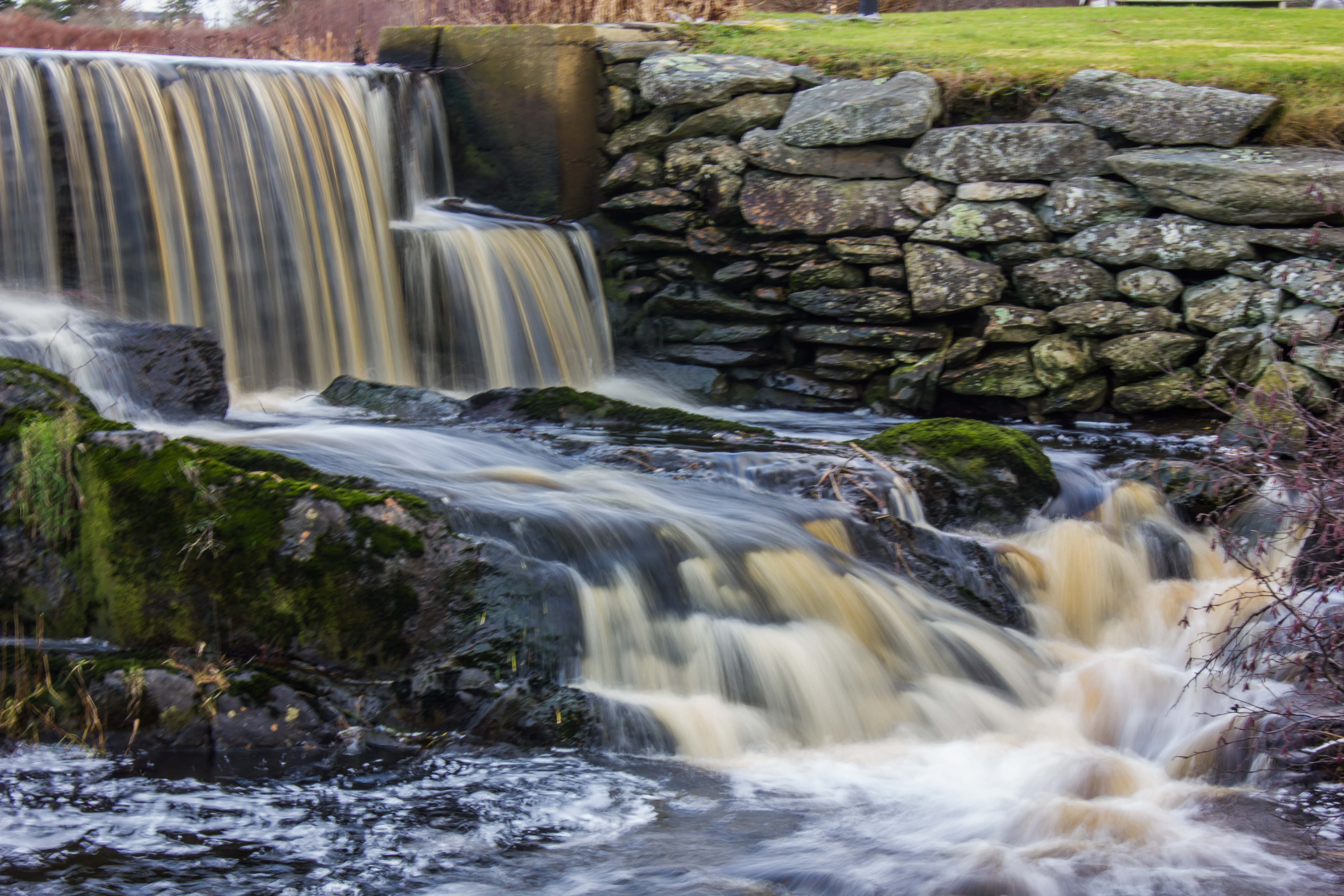
Shoe Factory Falls

Acadia trip

Acadia trip
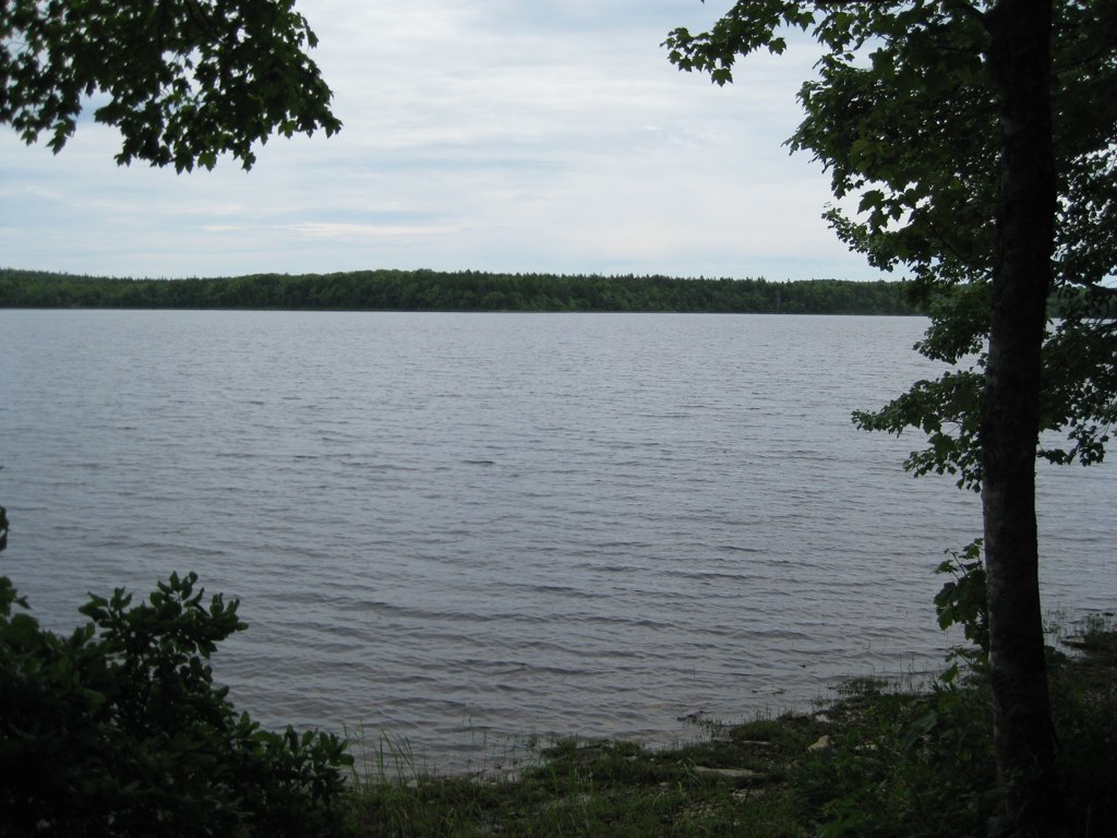
Ellenwood Lake Provincial Park

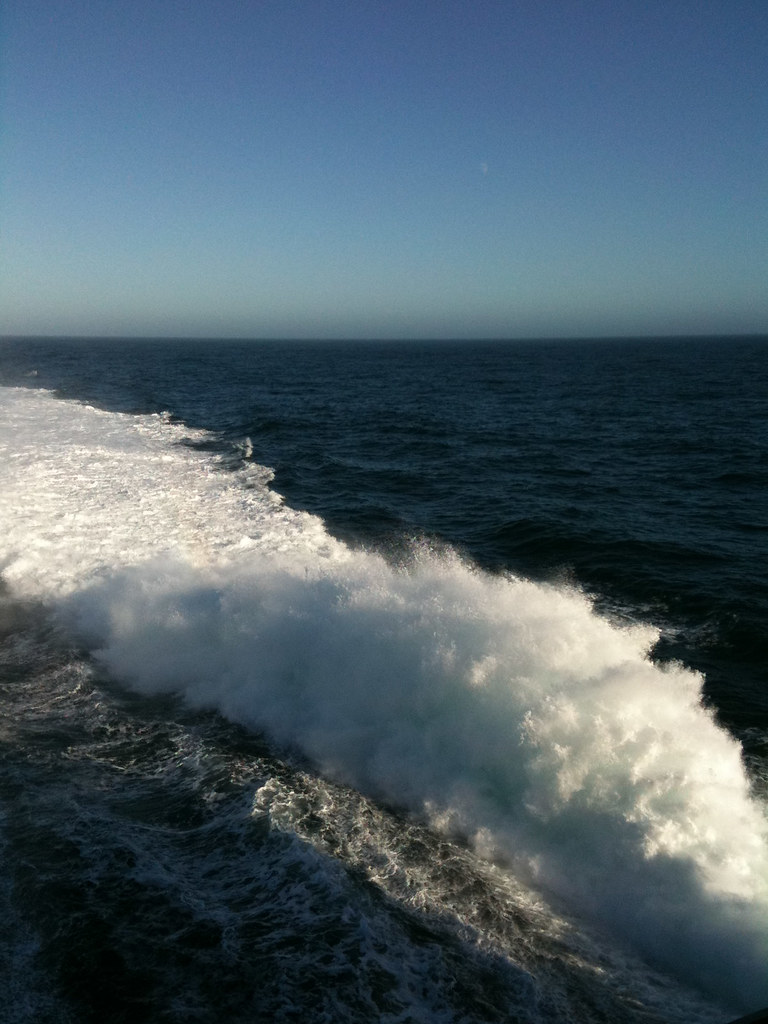
Low tide nest

Nova Scotia Farm Sunrise

Acadia trip

Ellenwood Sunset
Topographic Map of Yarmouth, NS, Canada
Find elevation by address:

Places in Yarmouth, NS, Canada:
Arcadia
Kemptville
Yarmouth Bar
Chebogue Rd, Yarmouth, NS B5A 4A6, Canada
Wilson Rd, Tusket, NS B0W 3M0, Canada
Evangeline Trail, Yarmouth, NS B5A 4A5, Canada
Pembroke Rd, Yarmouth, NS B5A 4A7, Canada
Carleton
Evangeline Trail, Yarmouth, NS B5A 4A5, Canada
Hwy, Yarmouth, NS B5A 4A7, Canada
Yarmouth Bar Rd, Yarmouth, NS B5A 4A7, Canada
Places near Yarmouth, NS, Canada:
262 Pitman Rd
South Ohio
Carleton
Tusket
614 Norwood Rd
Norwood Rd, Salmon River, NS B0W 2Y0, Canada
121 Belleville Rd
Tusket River
Belleville Rd, Ste. Anne du Ruisseau, NS B0W 2X0, Canada
Wilson Rd, Tusket, NS B0W 3M0, Canada
Ste. Anne Du Ruisseau
Arcadia
879 Ns-334
NS-, Arcadia, NS B0W 1B0, Canada
6636 Ns-308
6636 Ns-308
6636 Ns-308
Nova Scotia Trunk 3, Glenwood, NS B0W 1W0, Canada
NS-, Arcadia, NS B0W 1B0, Canada
Kemptville
Recent Searches:
- Elevation of Corso Fratelli Cairoli, 35, Macerata MC, Italy
- Elevation of Tallevast Rd, Sarasota, FL, USA
- Elevation of 4th St E, Sonoma, CA, USA
- Elevation of Black Hollow Rd, Pennsdale, PA, USA
- Elevation of Oakland Ave, Williamsport, PA, USA
- Elevation of Pedrógão Grande, Portugal
- Elevation of Klee Dr, Martinsburg, WV, USA
- Elevation of Via Roma, Pieranica CR, Italy
- Elevation of Tavkvetili Mountain, Georgia
- Elevation of Hartfords Bluff Cir, Mt Pleasant, SC, USA