Elevation of Wysor Hwy, Hillsville, VA, USA
Location: United States > Virginia > Wythe County > Lead Mines >
Longitude: -80.773802
Latitude: 36.882161
Elevation: 635m / 2083feet
Barometric Pressure: 94KPa
Elevation Map:
Satellite Map:
Related Photos:
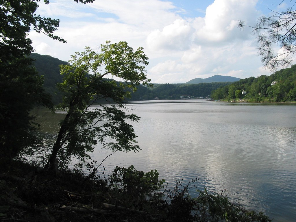
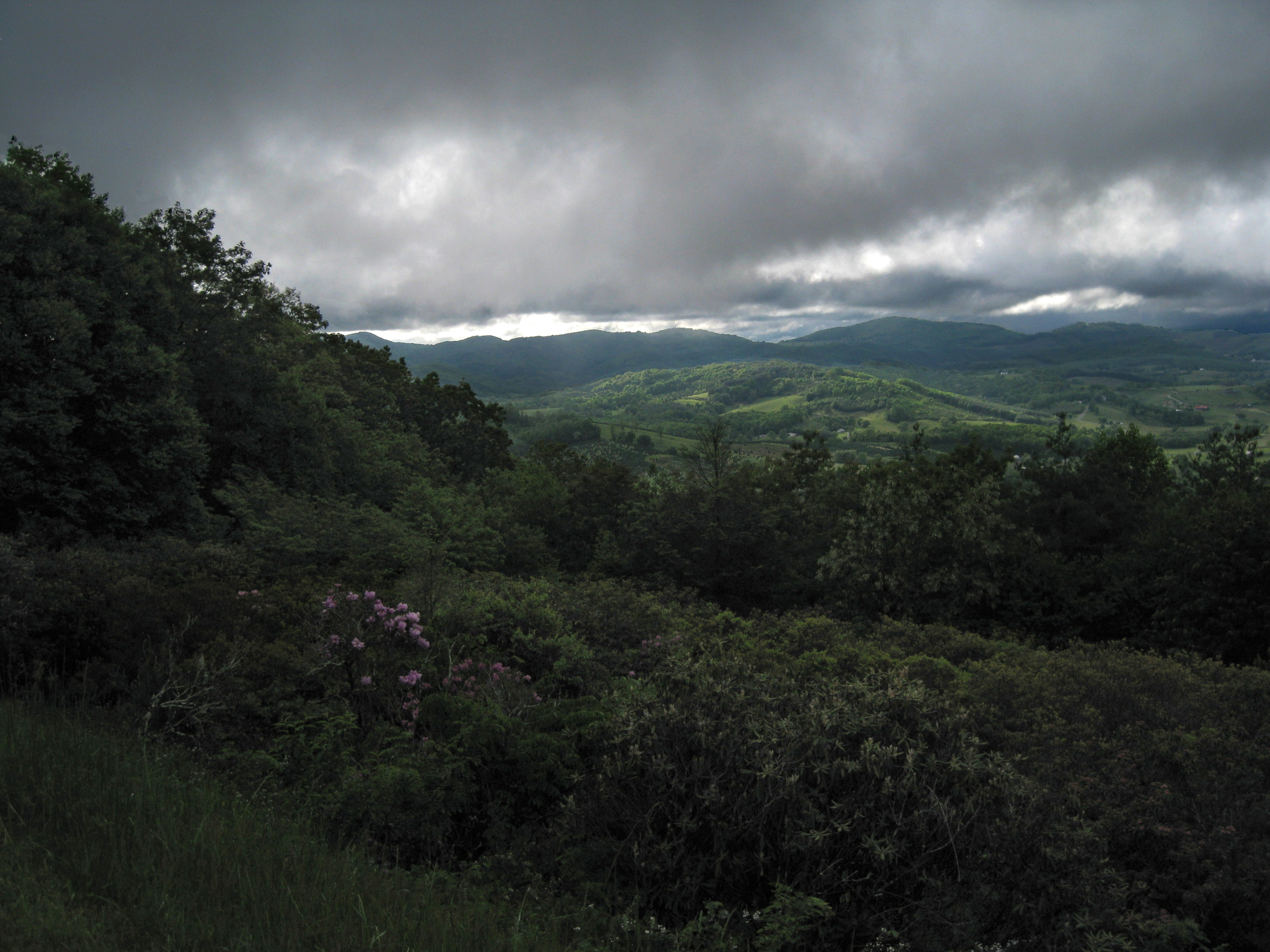
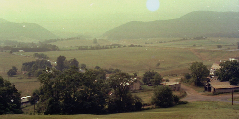
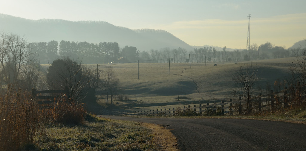
View from Cobb House Bench
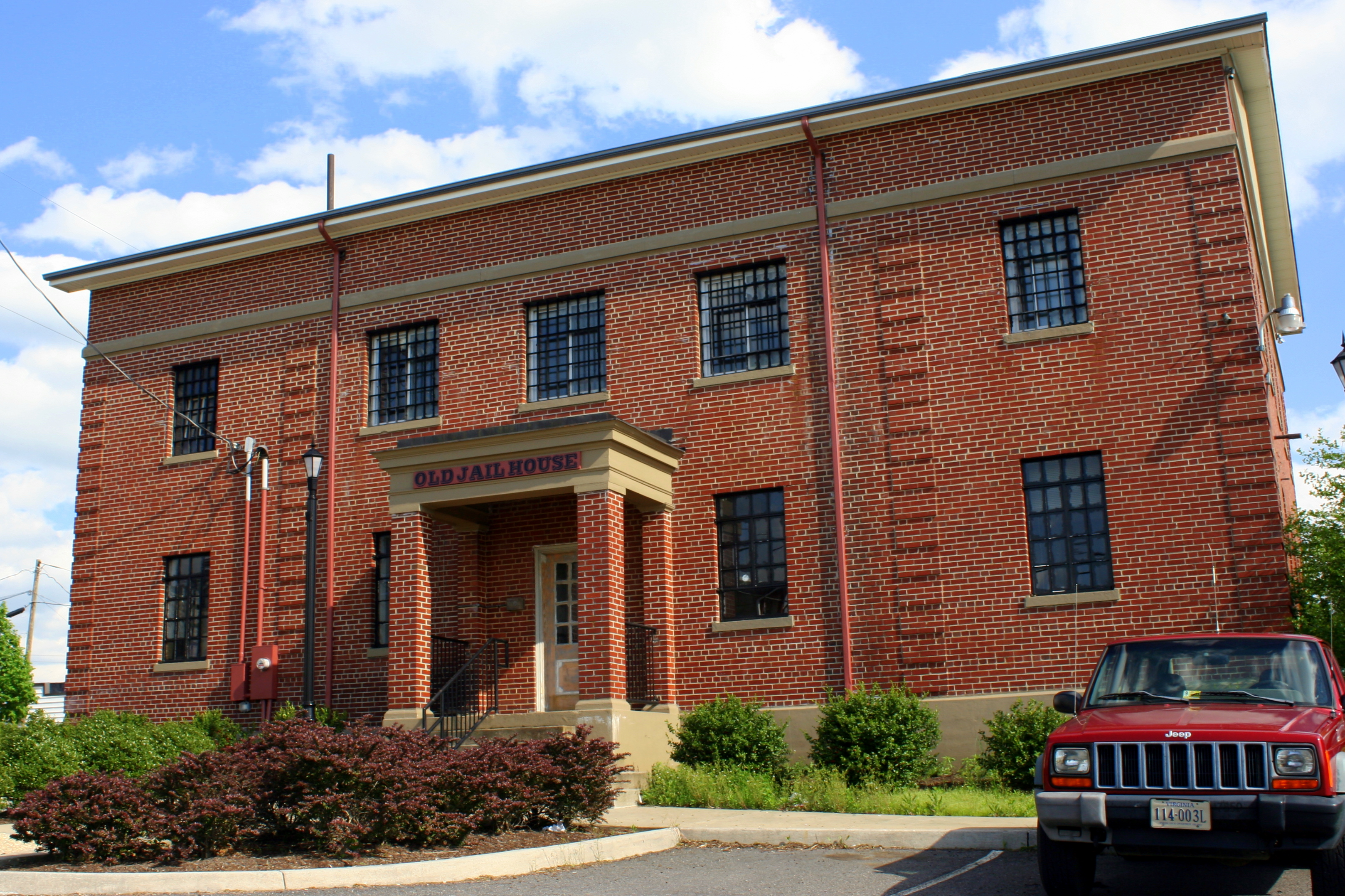
Old Carroll County Jail - Hillsville, VA

Cobb house bench view

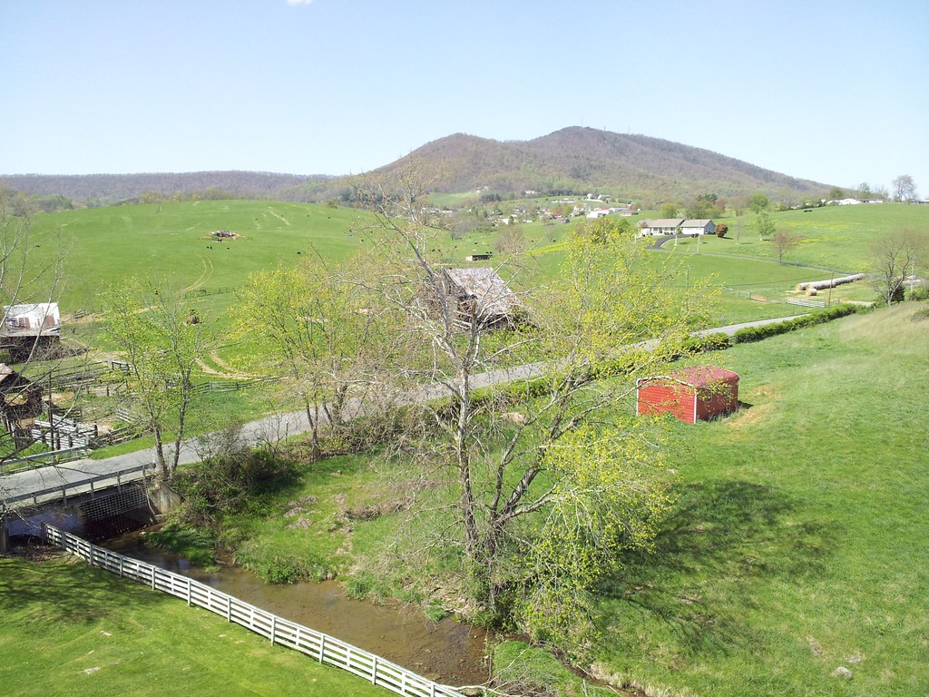
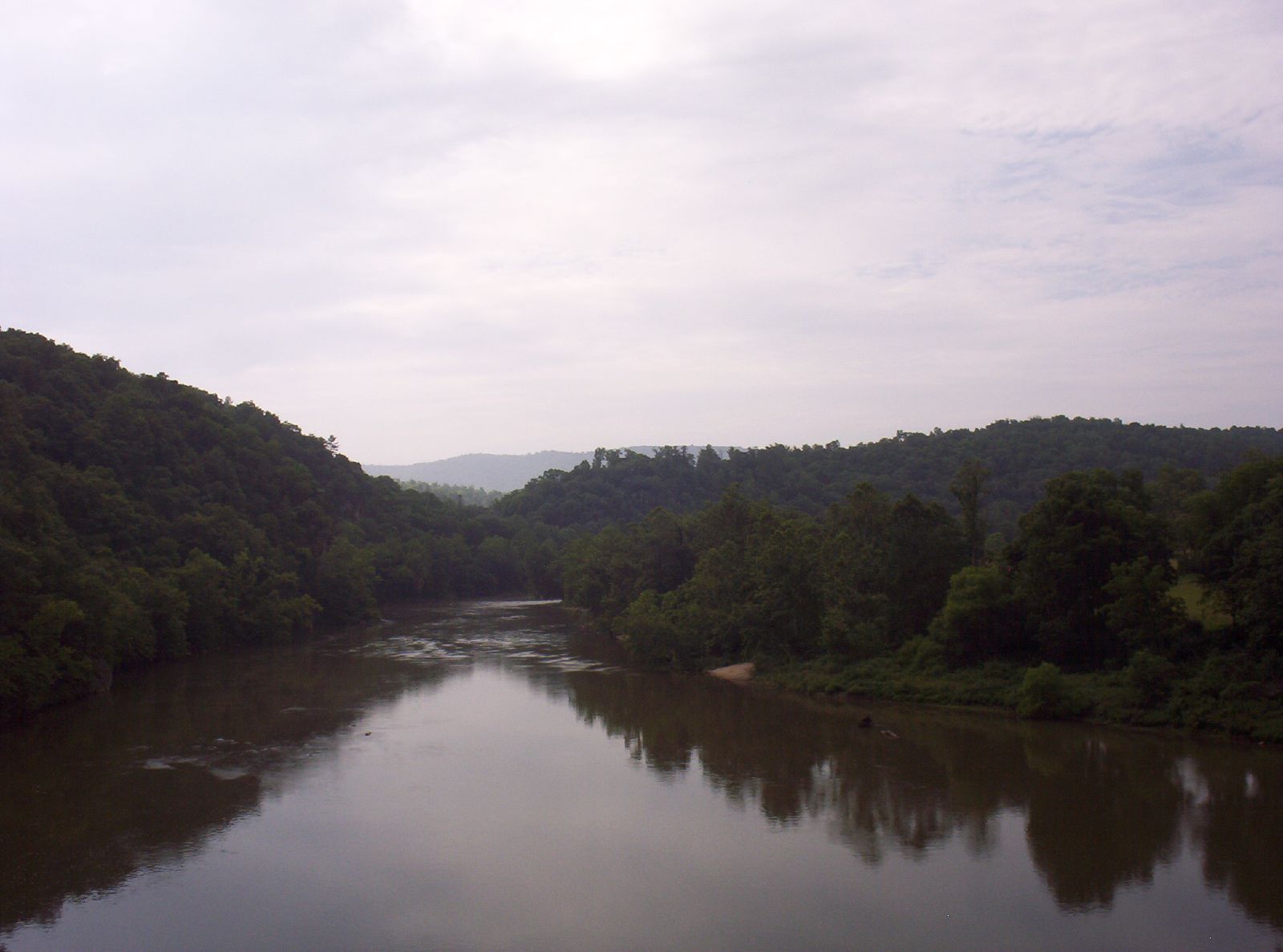
View from Sloan Creek Bridge
#travel #wanderlust #trip #vacation #travelgram #holiday #instatravel #beautiful #travelling #instagood #vsco #photooftheday #tourism #usa #picoftheday #travelphotography #roadtrip #vscocam #view #traveling #summer #road #explore #driving #ontheroad #amer
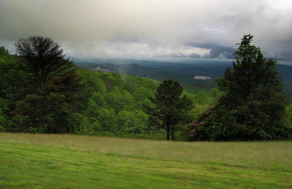
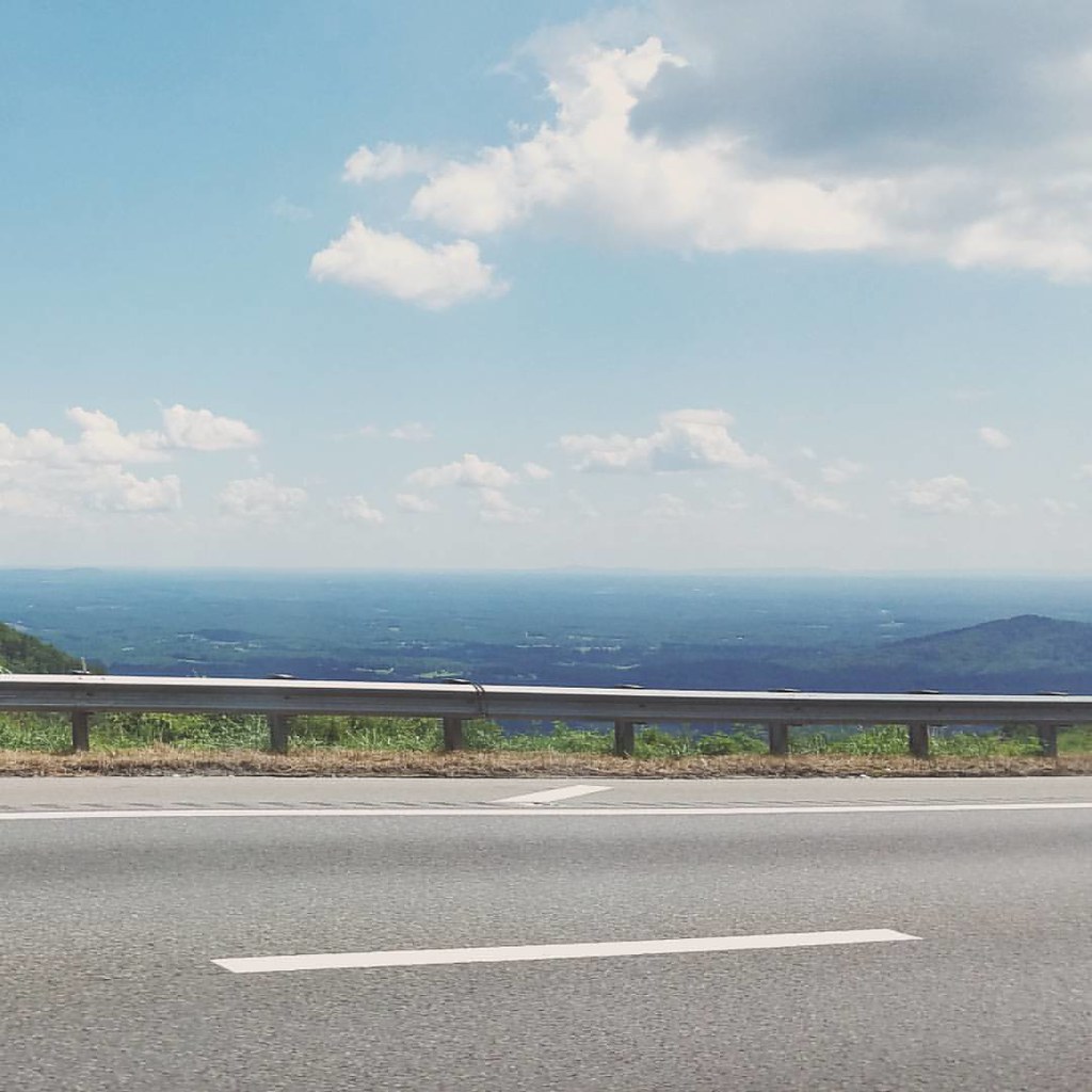
Blue Ridge Parkway View
Blue Ridge Parkway View
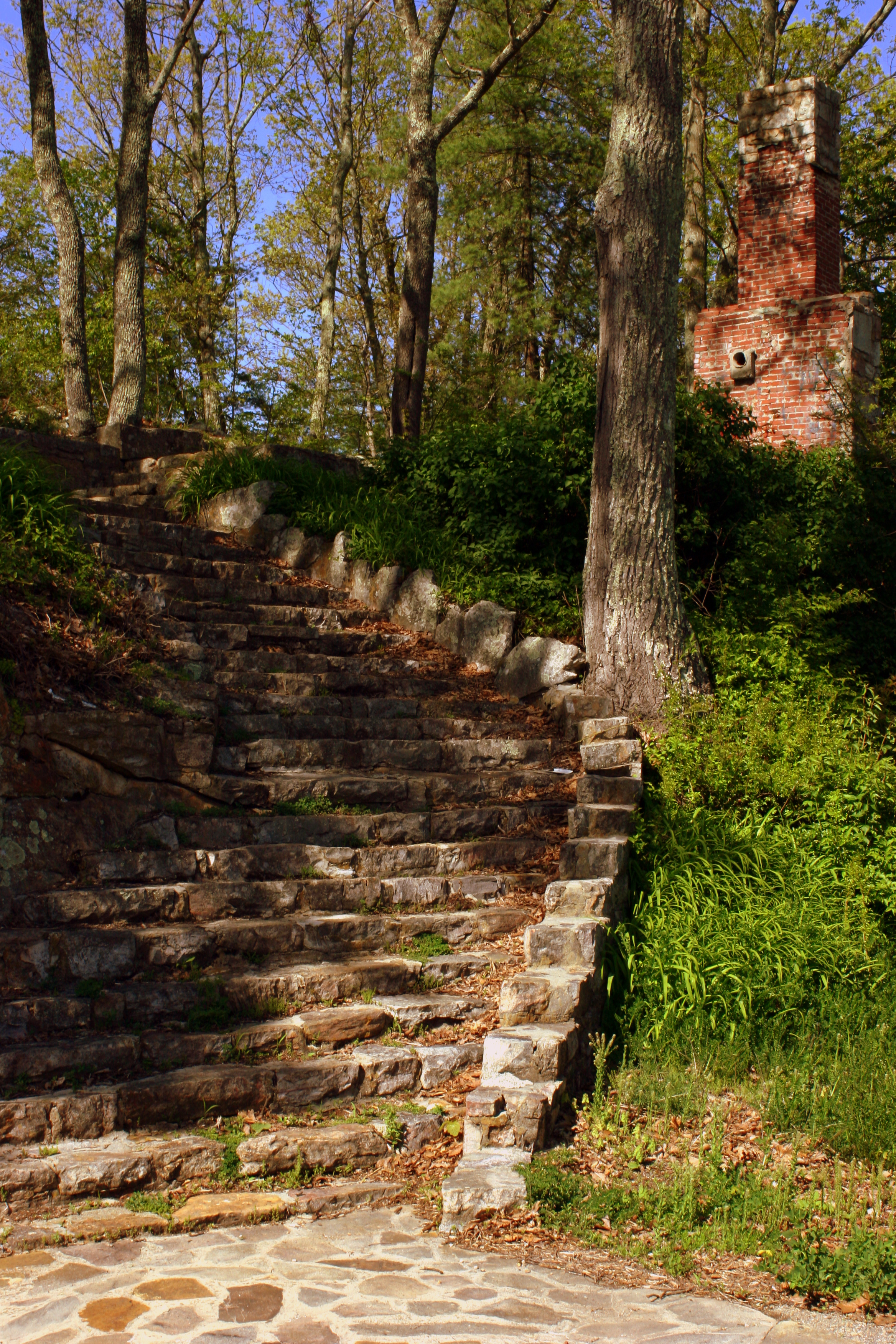
Steps to Nowhere - Draper Mountain, VA
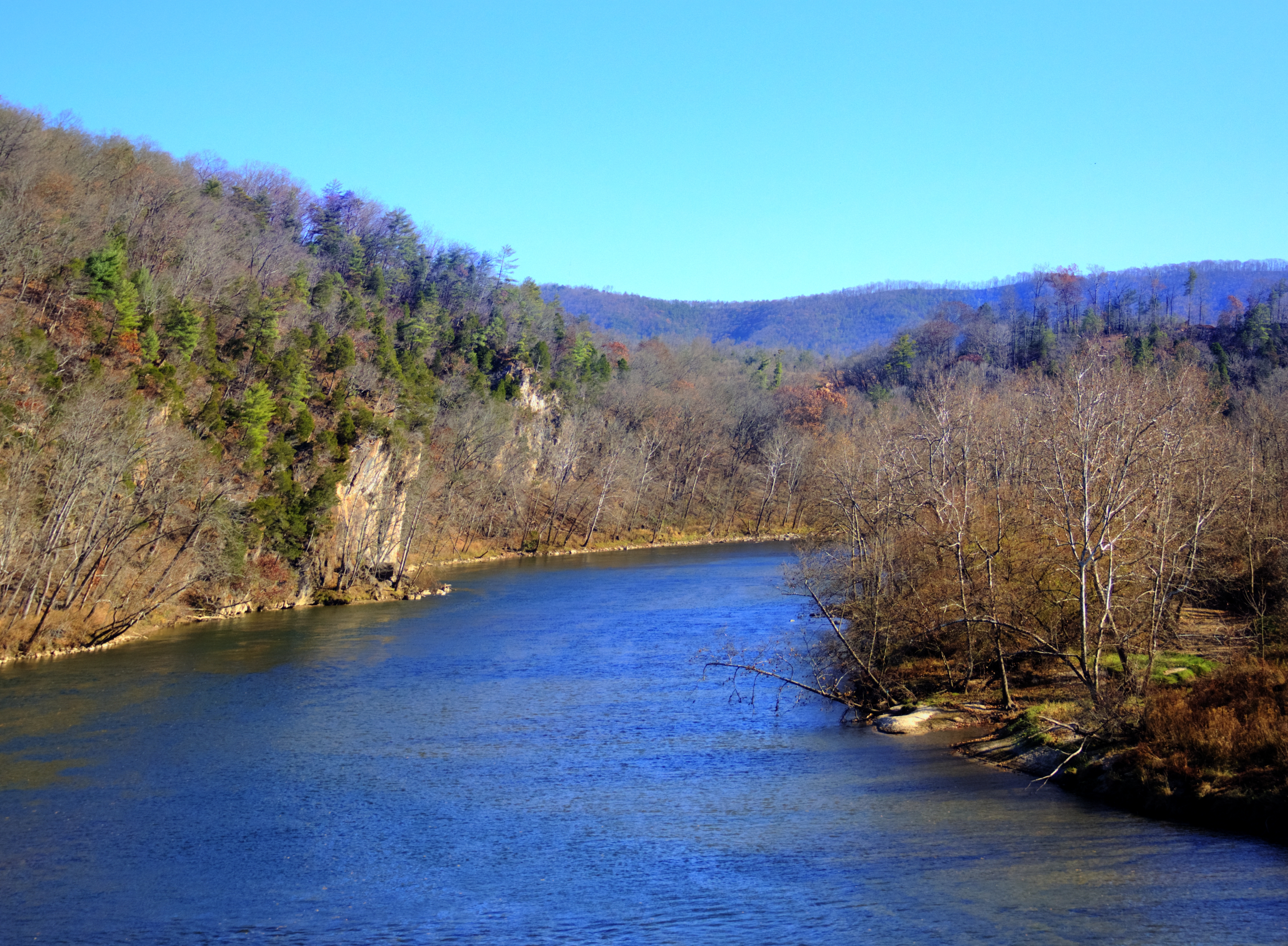
New River Rail/Trail
What a nice view.

Thanks so much for all the views and subscribers!
Shot Tower Historical State Park, Wythe County (Va.), 4 August 1978
View from 1st Bridge
1500 ft up. I absolutely love this view! I wish there was a scenic lookout. #coffmanclan
Robert D. Cook 2010 "Walking Home"

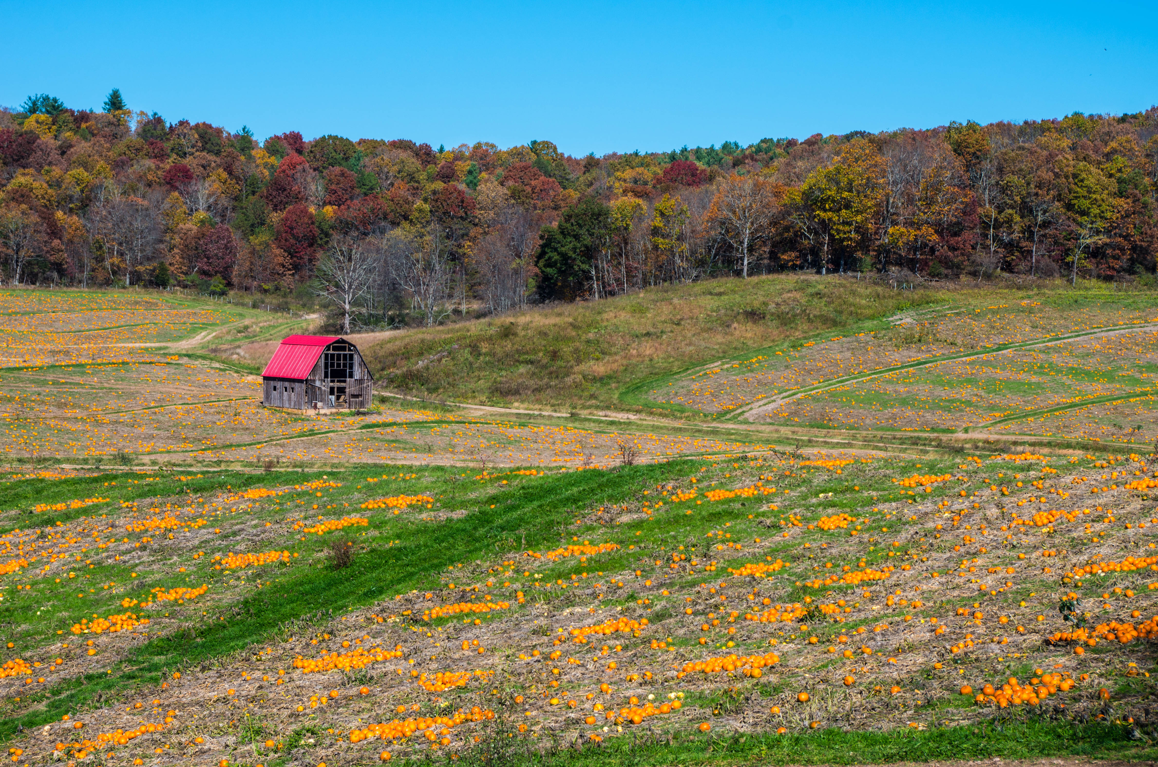
morning at foster falls

Robert D. Cook 2010
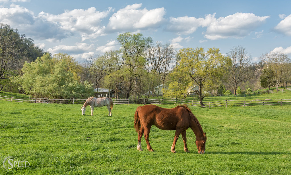
Springtime at Foster Falls Horse Livery
New River Trail 004
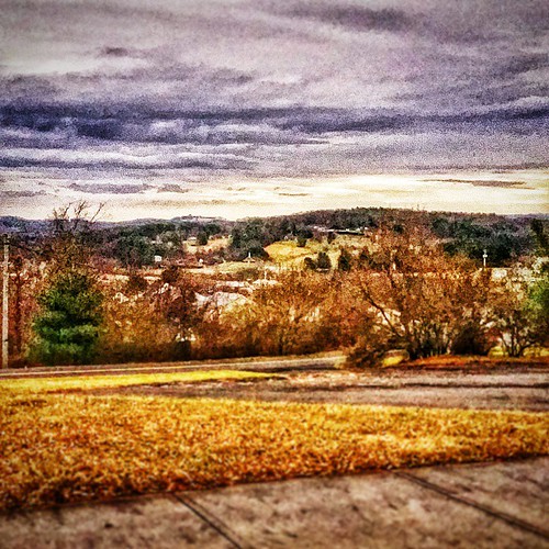
Hillsville, West Virginia. #theroadlesstraveled # landscape
IMGP8023.jpg
2-FrostyMorningNearShotTower
New River Trail 011

Biking the New River trail
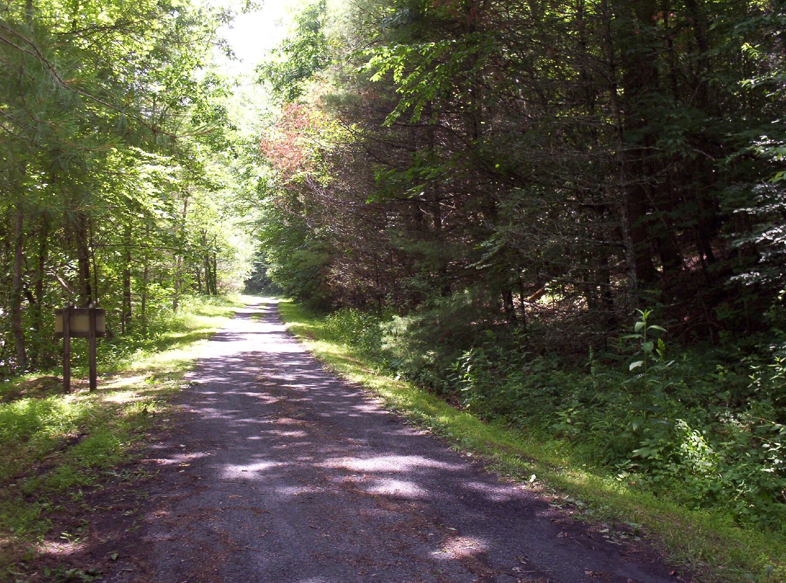
New River Trail 025
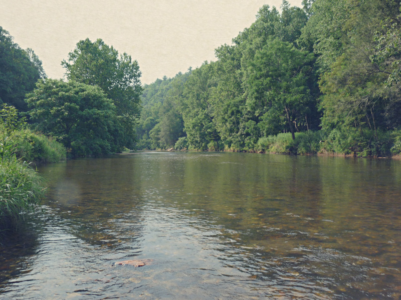
Big Reed River

New River Trail 031

Spring is springing on the New River Trail.

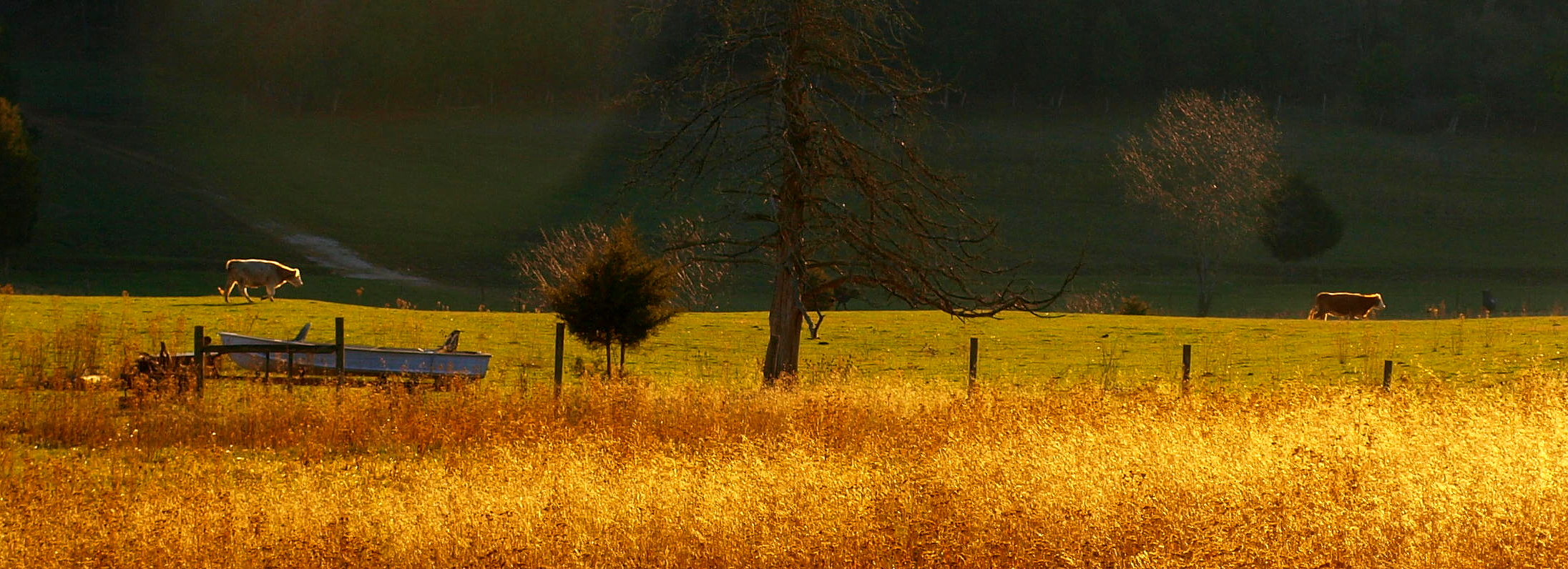
Cows from Bridge
We went biking on the New River Trail.

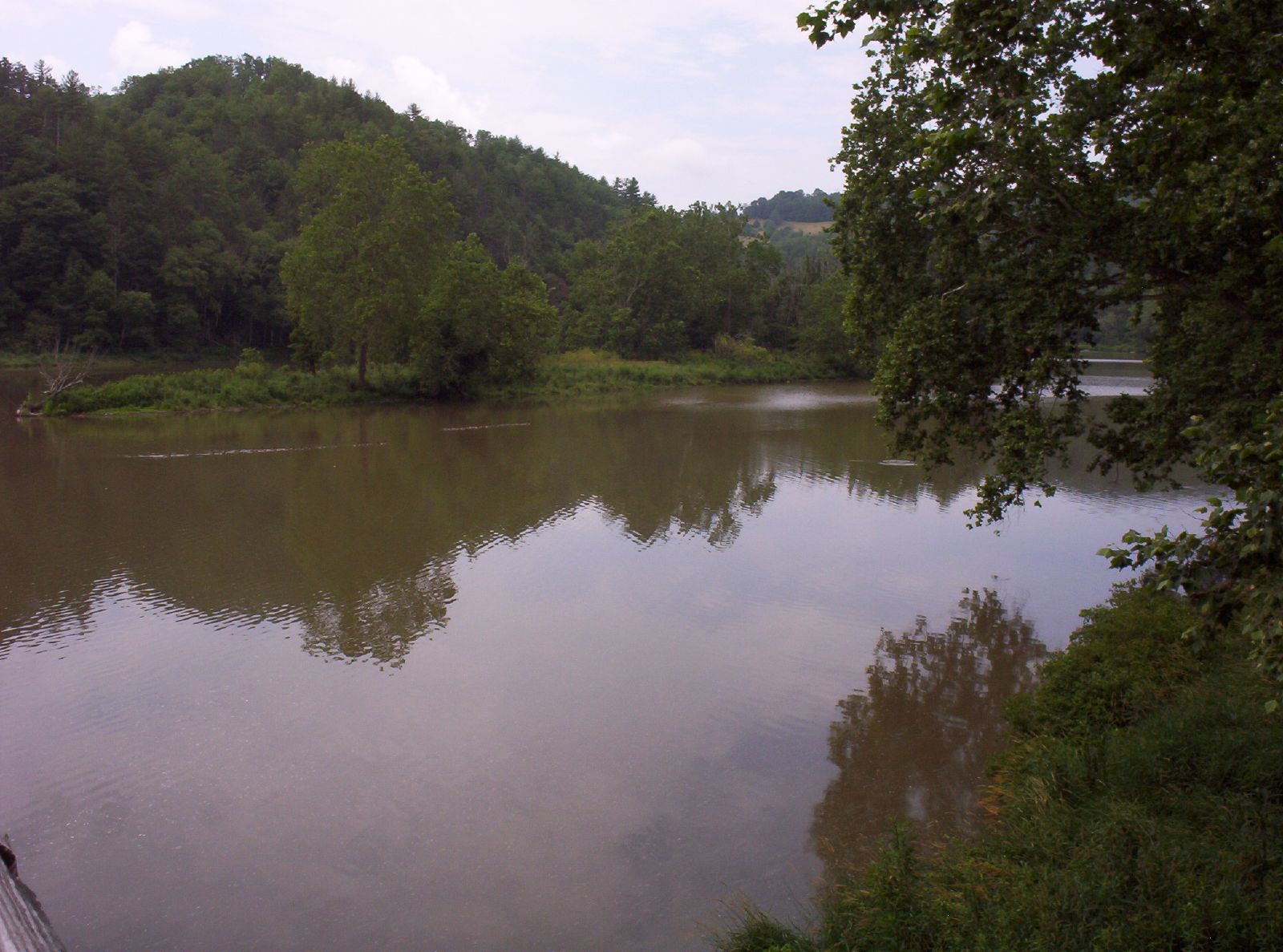
Looking at New river from Cobb house
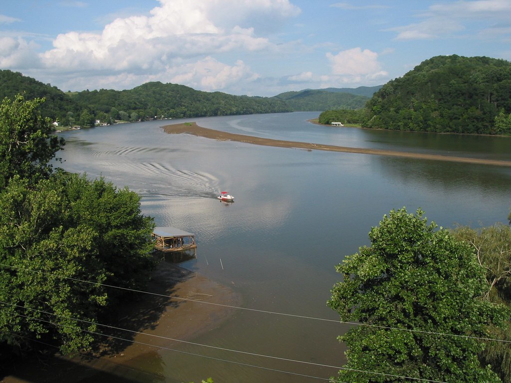
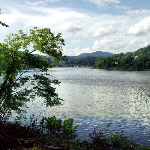
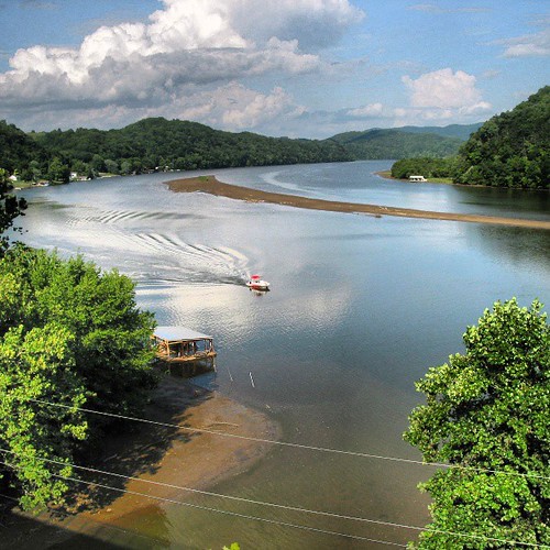
Claytor lake New River with Sandbar
Topographic Map of Wysor Hwy, Hillsville, VA, USA
Find elevation by address:

Places near Wysor Hwy, Hillsville, VA, USA:
Sylvatus Quarry
758 Lumber Ln
758 Lumber Ln
758 Lumber Ln
758 Lumber Ln
758 Lumber Ln
758 Lumber Ln
Sylvatus
Scratch Gravel Road
611 Scratch Gravel Rd
2624 Scratch Gravel Rd
Barren Springs
3212 Little Vine Rd
4000 Dowery Ln
Farris Mines Road
1008 Farris Mines Rd
White Town Road
547 Farris Mines Rd
279 Laban Ln
Little Reed Island Creek
Recent Searches:
- Elevation of Corso Fratelli Cairoli, 35, Macerata MC, Italy
- Elevation of Tallevast Rd, Sarasota, FL, USA
- Elevation of 4th St E, Sonoma, CA, USA
- Elevation of Black Hollow Rd, Pennsdale, PA, USA
- Elevation of Oakland Ave, Williamsport, PA, USA
- Elevation of Pedrógão Grande, Portugal
- Elevation of Klee Dr, Martinsburg, WV, USA
- Elevation of Via Roma, Pieranica CR, Italy
- Elevation of Tavkvetili Mountain, Georgia
- Elevation of Hartfords Bluff Cir, Mt Pleasant, SC, USA