Elevation of Scratch Gravel Rd, Max Meadows, VA, USA
Location: United States > Virginia > Wythe County > Fort Chiswell > Max Meadows >
Longitude: -80.795782
Latitude: 36.8619754
Elevation: -10000m / -32808feet
Barometric Pressure: 295KPa
Elevation Map:
Satellite Map:
Related Photos:
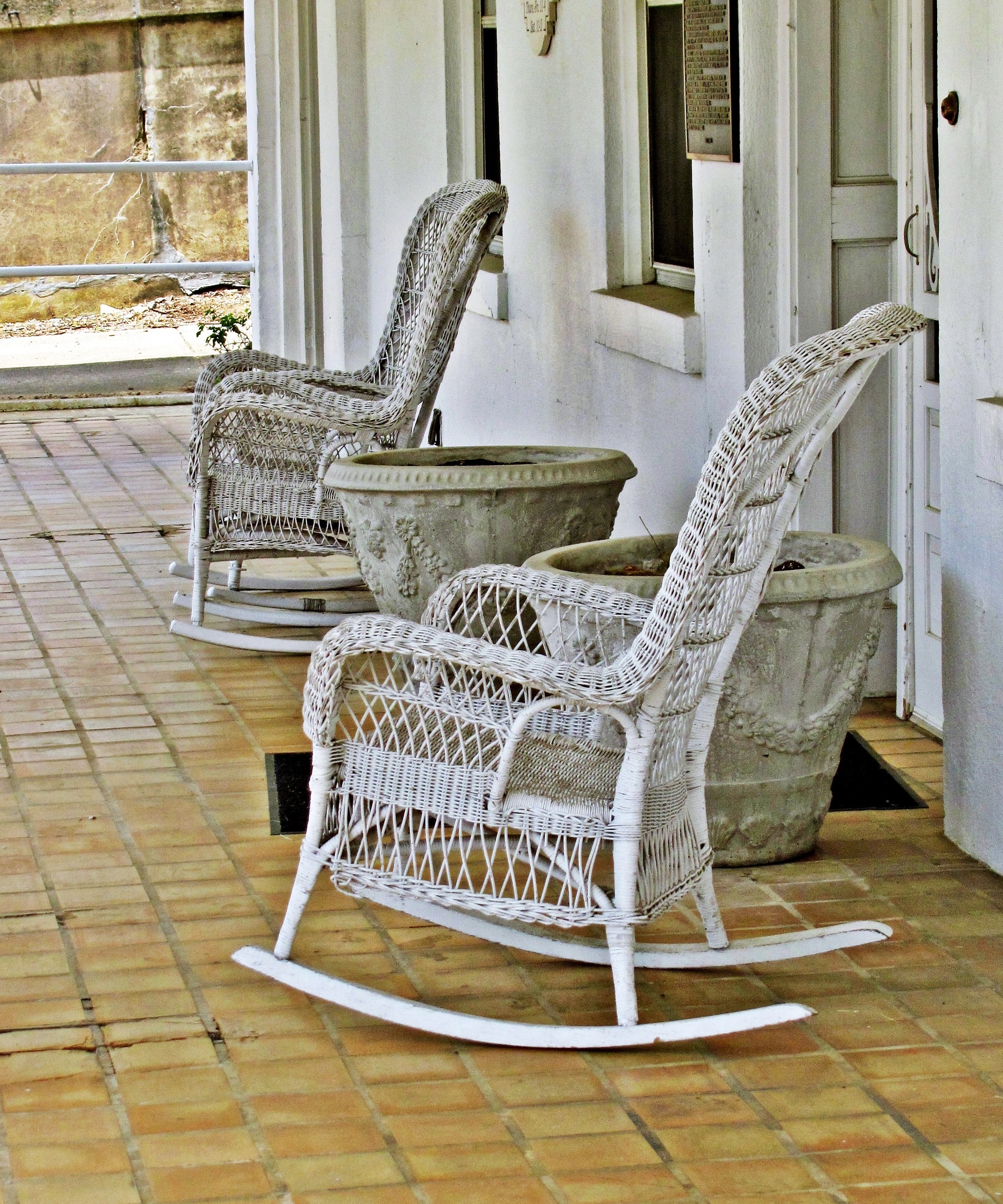
Wicker Rocking Chairs--Hale-Wilkinson-Carter Home, Hillsville, Va 10

"Key Ingredients" restaurant, Max Meadows, VA

#travel #wanderlust #trip #vacation #travelgram #holiday #instatravel #beautiful #travelling #instagood #vsco #photooftheday #tourism #usa #picoftheday #travelphotography #roadtrip #vscocam #view #traveling #summer #road #explore #driving #ontheroad #amer
New River Rail/Trail

Shot Tower Historical State Park, Wythe County (Va.), 4 August 1978

Cobb house bench view

I-77 North Virginia - Exit 32

Thanks so much for all the views and subscribers!

View from 1st Bridge

New River Trail State Park
New River Trail State Park

Blue Ridge Parkway View
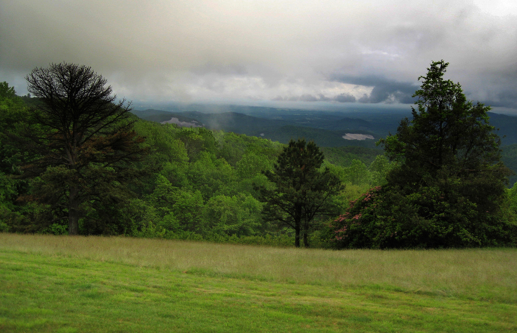
Blue Ridge Parkway View

Morning at Foster Falls
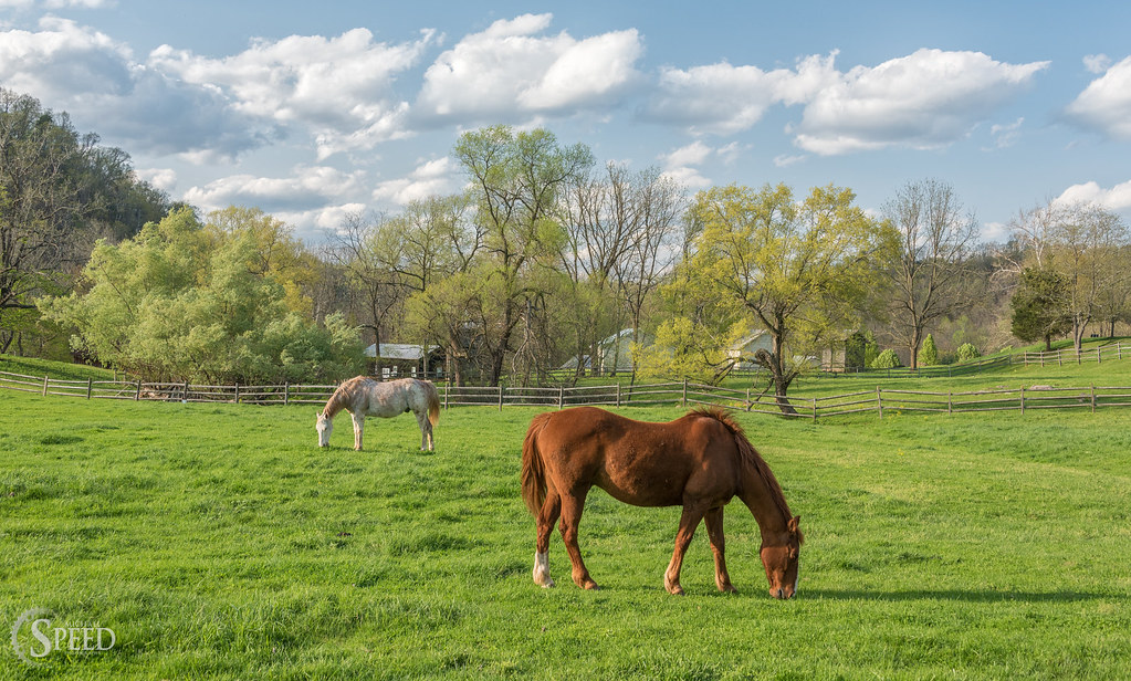
Springtime at Foster Falls Horse Livery

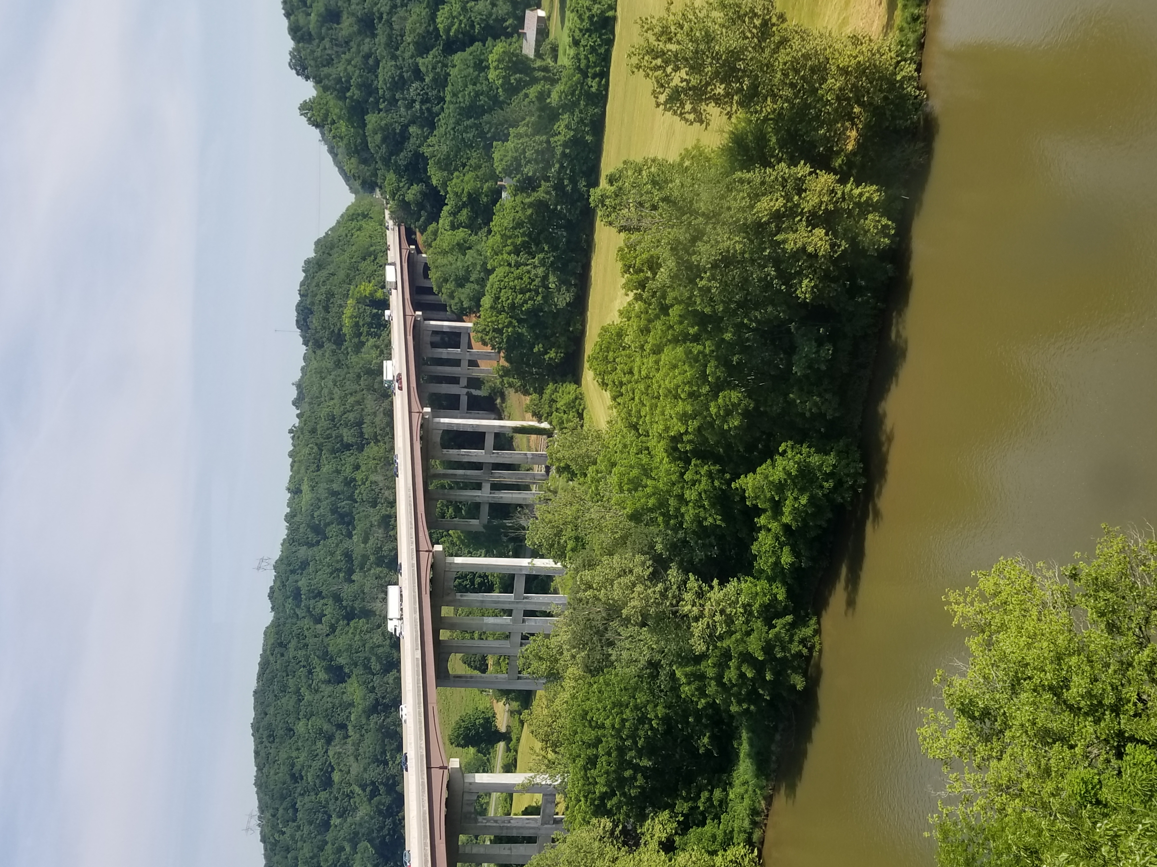
Jackson Ferry Bridge Crossing the New River and the Surrounding Countryside
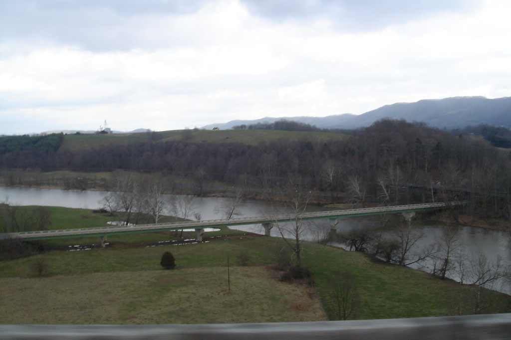
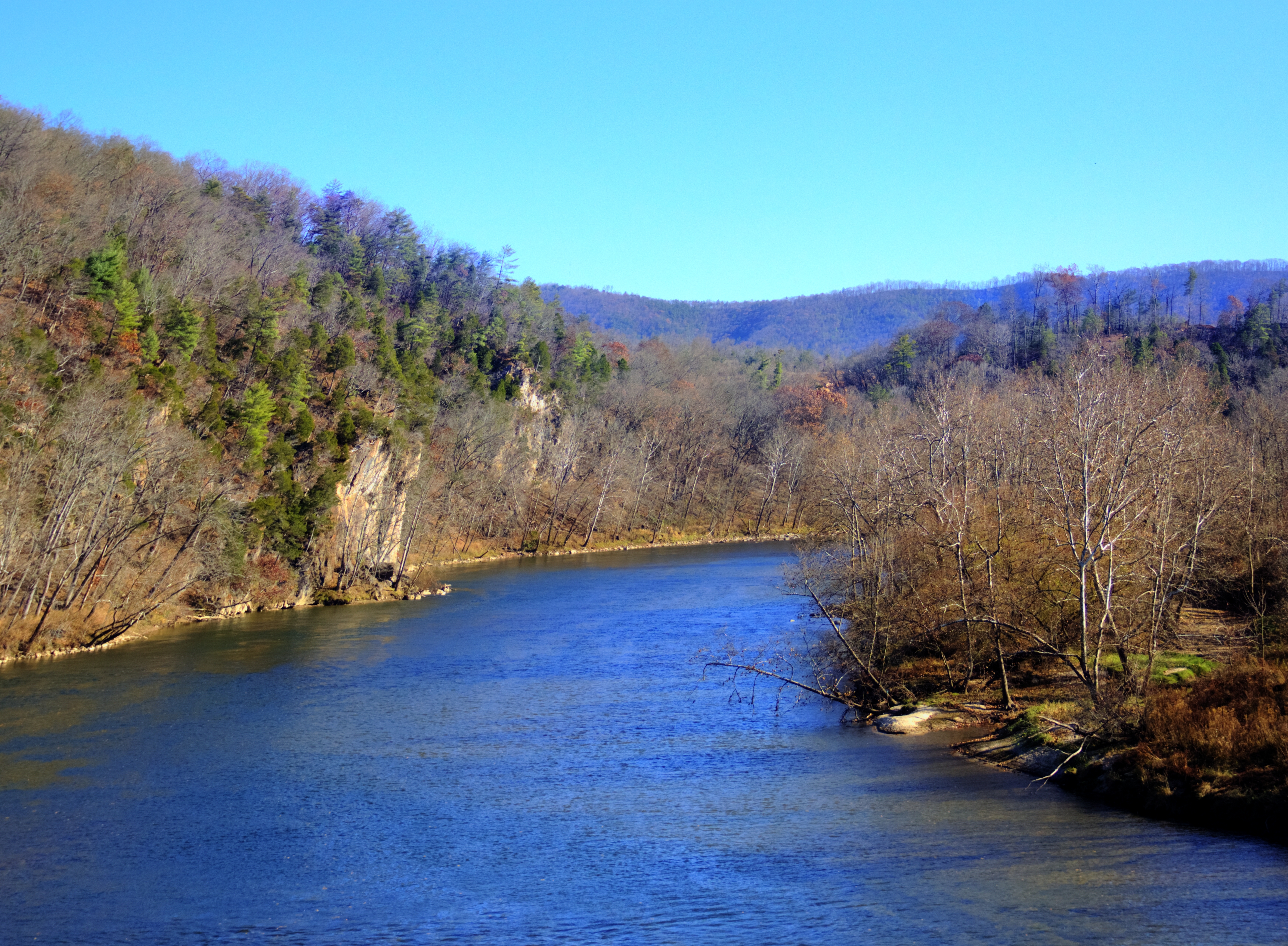
New River from i77

Robert D. Cook 2010 "Walking Home"

Robert D. Cook 2010

10-NewRiverFosterFalls

New River Trail 004

IMGP8023.jpg

double rainbow

2-FrostyMorningNearShotTower

Claytor Lake, Va

study in green

Biking the New River trail
Give me back my mountain!

Big Reed River

Jacob with the Flash Sloan Creek

Robert D. Cook 2010
Topographic Map of Scratch Gravel Rd, Max Meadows, VA, USA
Find elevation by address:

Places near Scratch Gravel Rd, Max Meadows, VA, USA:
758 Lumber Ln
Scratch Gravel Road
2624 Scratch Gravel Rd
758 Lumber Ln
758 Lumber Ln
758 Lumber Ln
758 Lumber Ln
758 Lumber Ln
279 Laban Ln
573 Hall Hollow Rd
1750 Ridge Rd
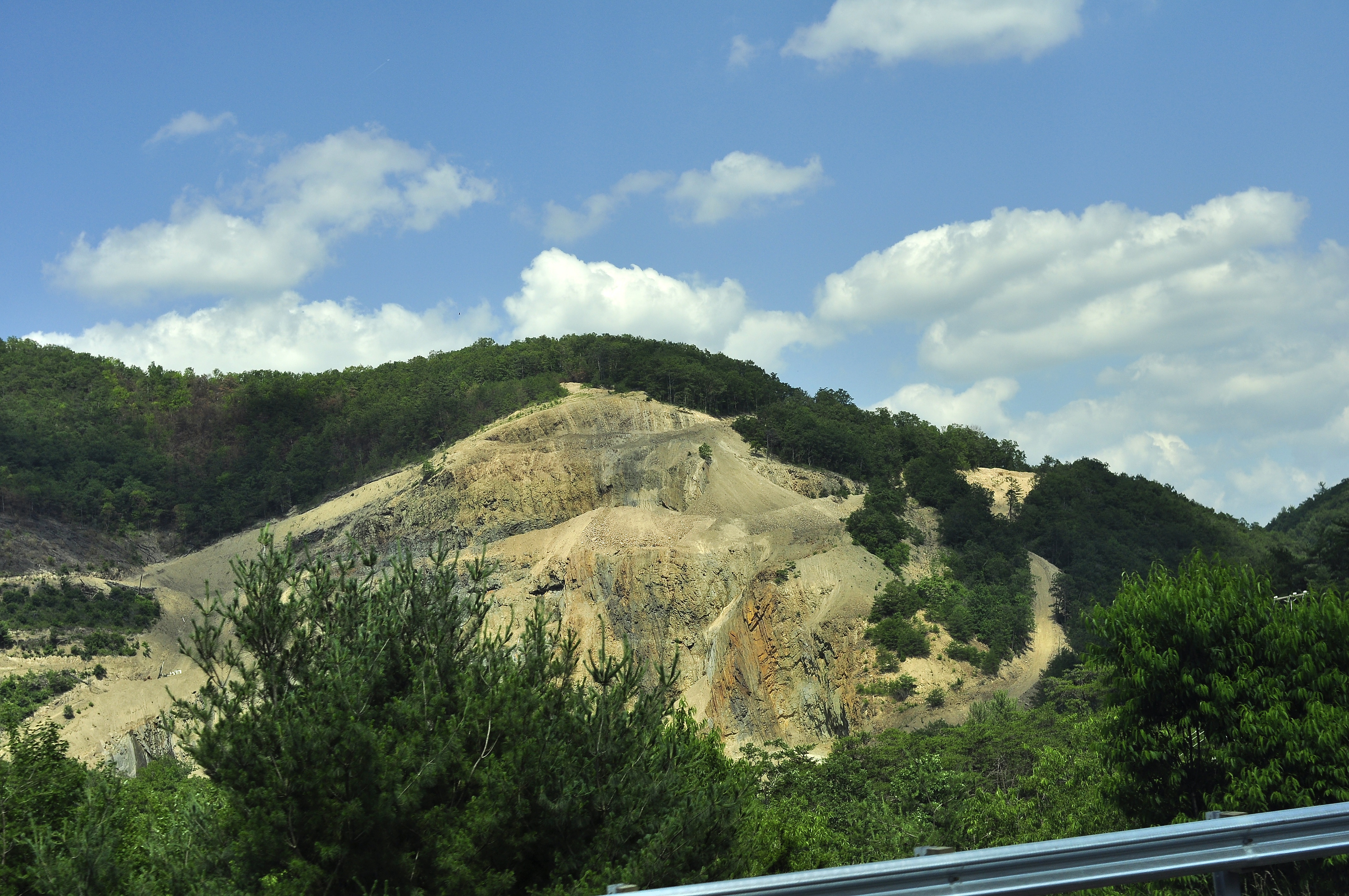
Sylvatus Quarry
Wysor Hwy, Hillsville, VA, USA
Sylvatus
Poplar Camp Mountain
Little Reed Island Creek
3212 Little Vine Rd
677 Country Rd
7908 Poplar Camp Rd
7908 Poplar Camp Rd
Recent Searches:
- Elevation of Corso Fratelli Cairoli, 35, Macerata MC, Italy
- Elevation of Tallevast Rd, Sarasota, FL, USA
- Elevation of 4th St E, Sonoma, CA, USA
- Elevation of Black Hollow Rd, Pennsdale, PA, USA
- Elevation of Oakland Ave, Williamsport, PA, USA
- Elevation of Pedrógão Grande, Portugal
- Elevation of Klee Dr, Martinsburg, WV, USA
- Elevation of Via Roma, Pieranica CR, Italy
- Elevation of Tavkvetili Mountain, Georgia
- Elevation of Hartfords Bluff Cir, Mt Pleasant, SC, USA