Elevation of WY-, McKinnon, WY, USA
Location: United States > Wyoming >
Longitude: -110.00337
Latitude: 41.028274
Elevation: 2167m / 7110feet
Barometric Pressure: 78KPa
Elevation Map:
Satellite Map:
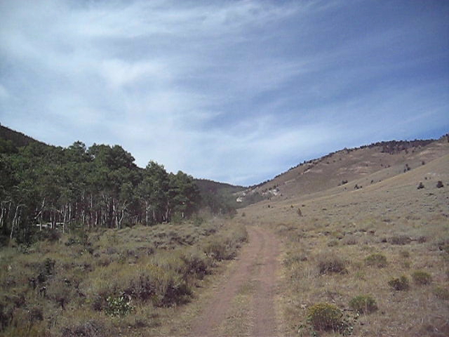
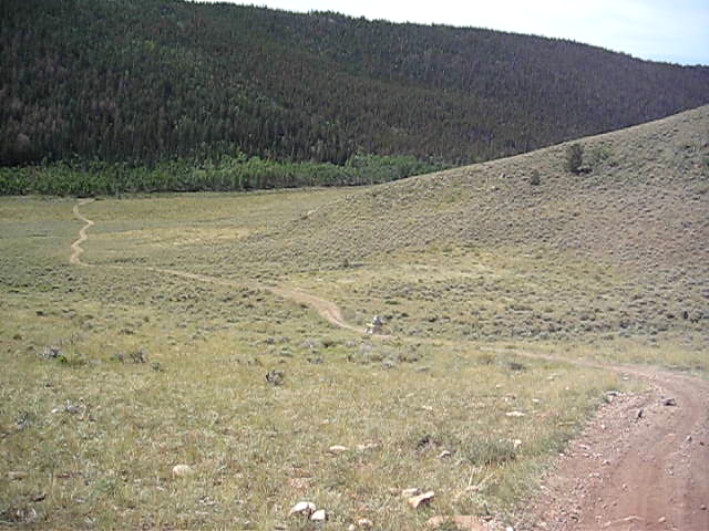
Related Photos:

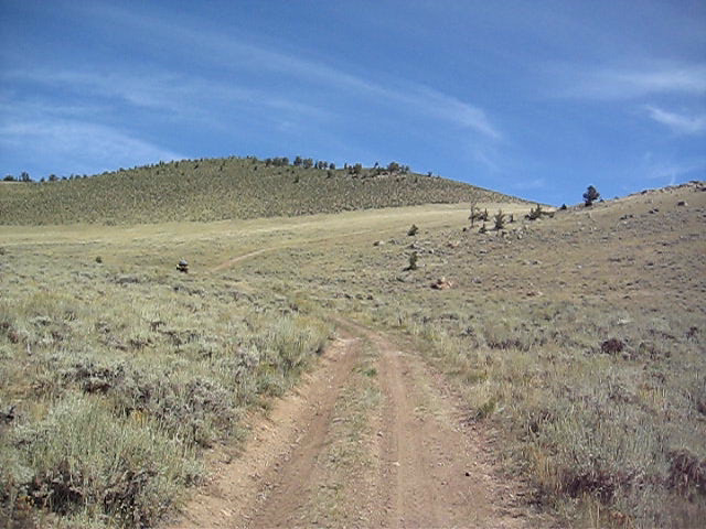
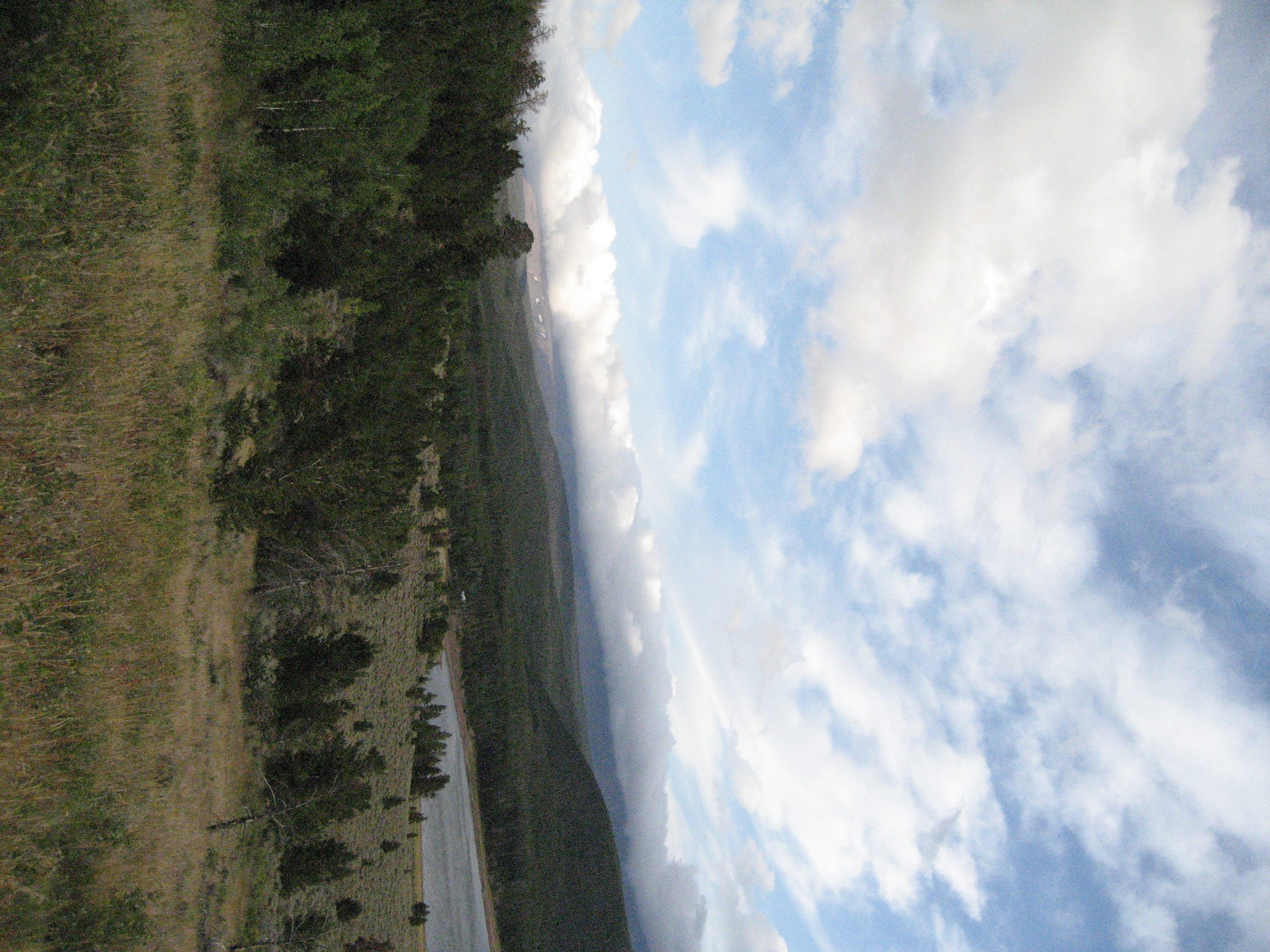
Mountain View, Spirit Lake, Green River
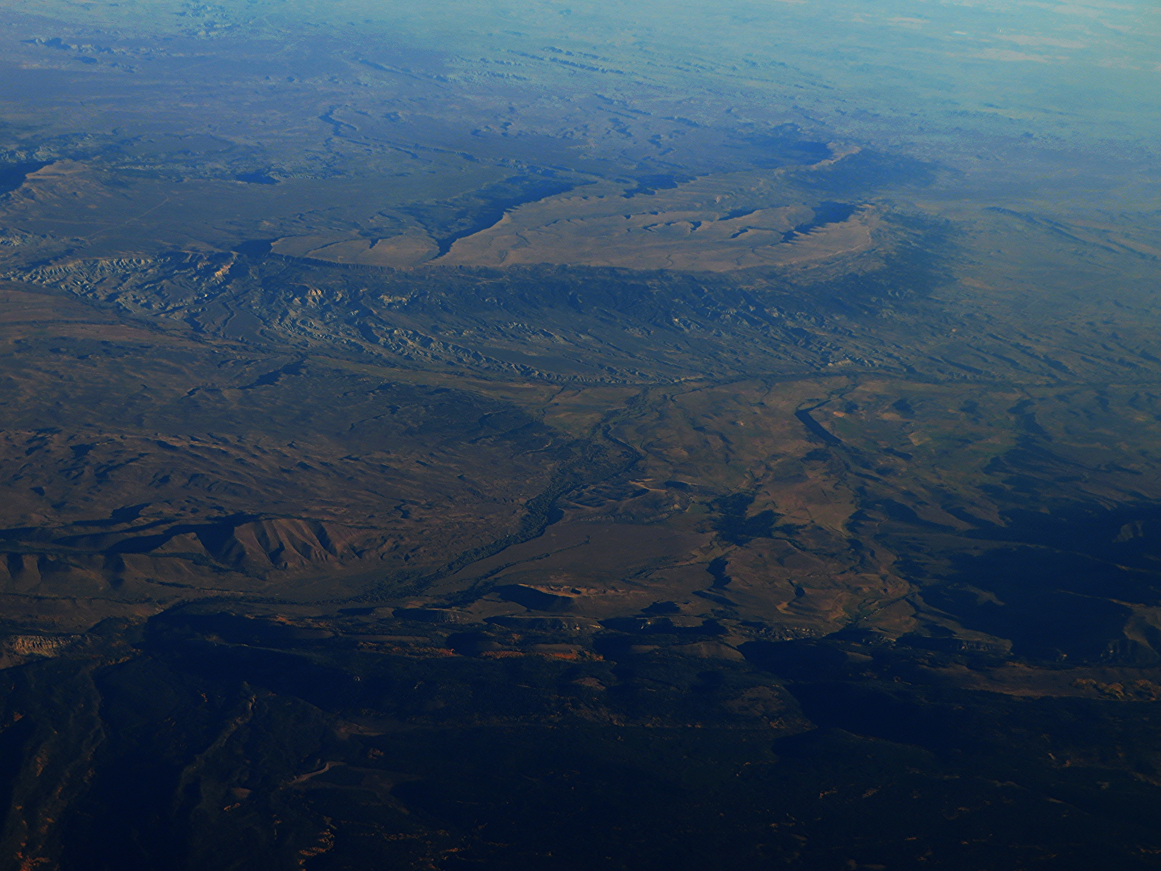
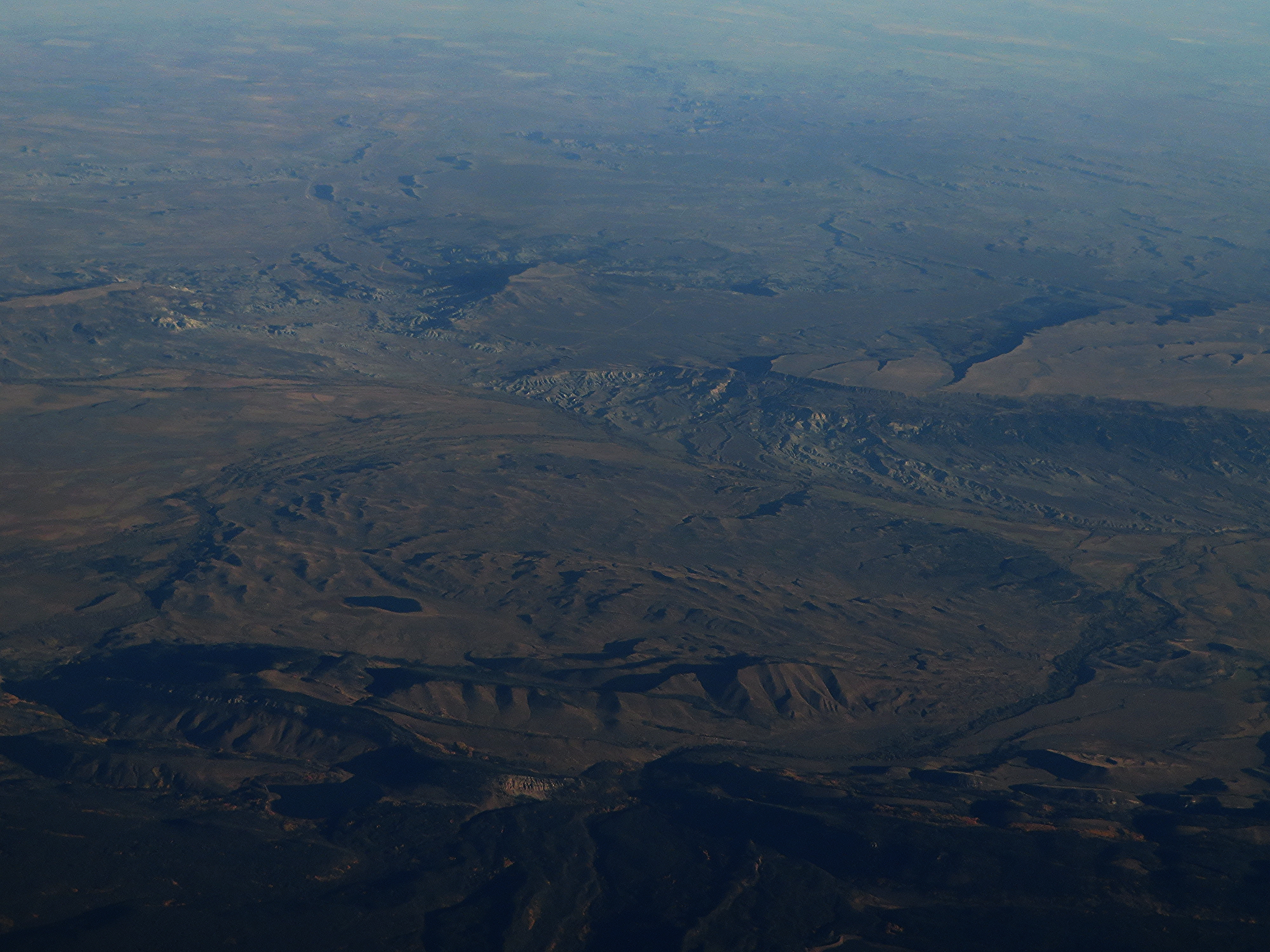
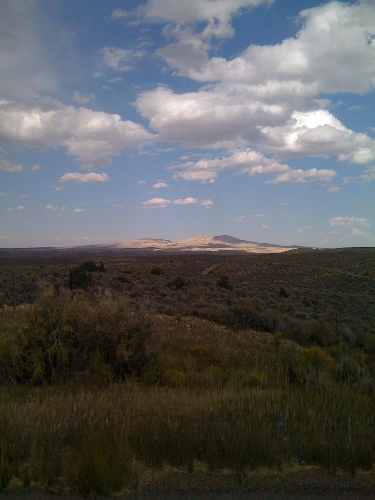
Cedar Mountain and Badlands of Southwestern Wyoming
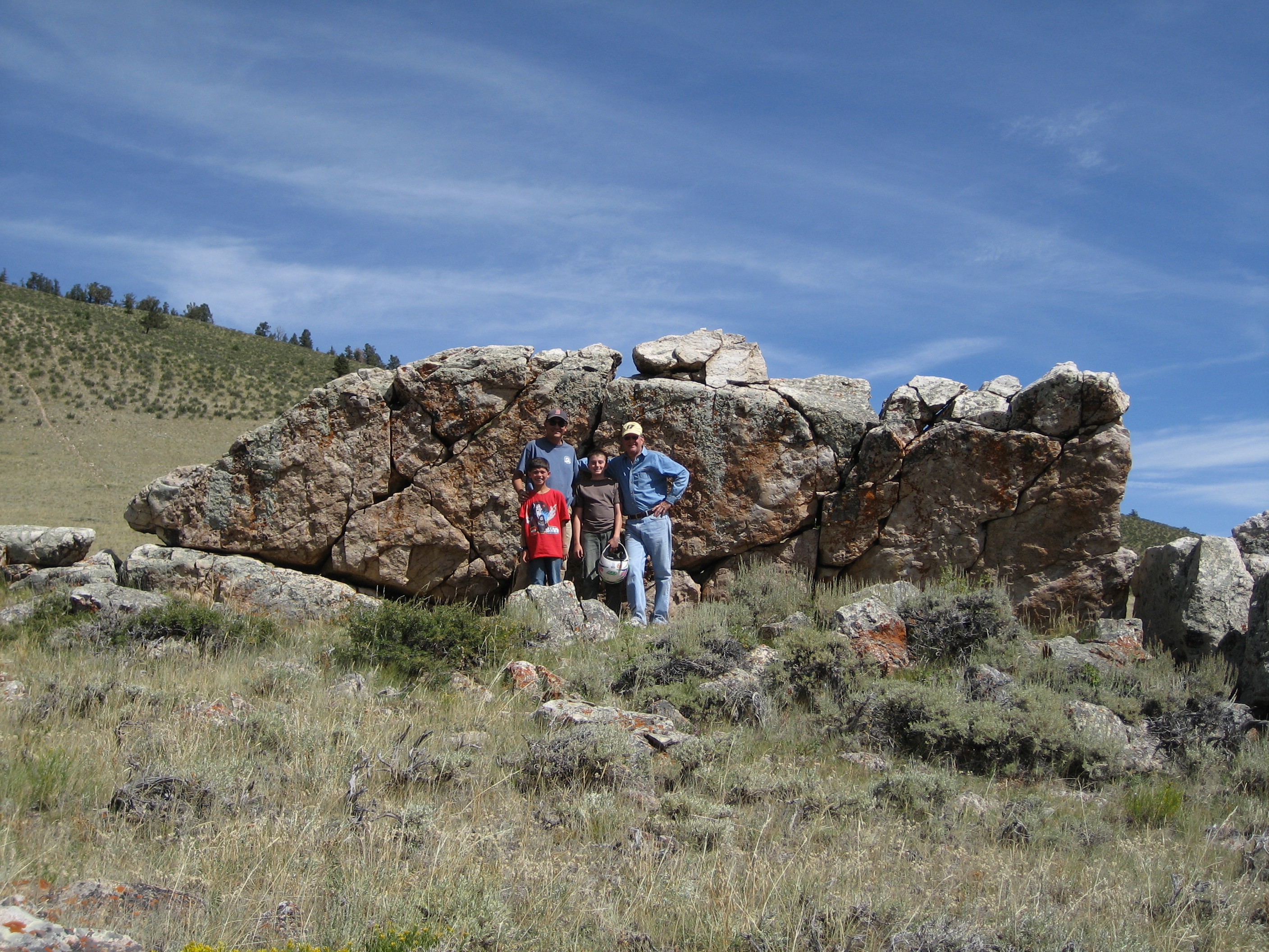
Lonetree, Wyoming
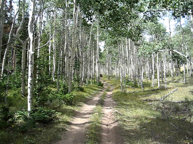
2008 08 30 (107)
2008 08 30 (104)
Uploaded - 10\2\08-16
2008 08 30 (113)
2008 08 31 (157)
2008 08 30 (111)
2008 08 30 (114)

Wild Flower
Topographic Map of WY-, McKinnon, WY, USA
Find elevation by address:

Places near WY-, McKinnon, WY, USA:
Burntfork
Manila
Flaming Gorge National Recreation Area
Carmel Campground Road
Mountain View
Lyman
N Main St, Lyman, WY, USA
Bear Lake
Robertson
653 Co Rd 238
Urie
WY-, Fort Bridger, WY, USA
Fort Bridger
Main St, Fort Bridger, WY, USA
Little America
Granger
Carter
Uinta County
Piedmont
County Road 173
Recent Searches:
- Elevation of Corso Fratelli Cairoli, 35, Macerata MC, Italy
- Elevation of Tallevast Rd, Sarasota, FL, USA
- Elevation of 4th St E, Sonoma, CA, USA
- Elevation of Black Hollow Rd, Pennsdale, PA, USA
- Elevation of Oakland Ave, Williamsport, PA, USA
- Elevation of Pedrógão Grande, Portugal
- Elevation of Klee Dr, Martinsburg, WV, USA
- Elevation of Via Roma, Pieranica CR, Italy
- Elevation of Tavkvetili Mountain, Georgia
- Elevation of Hartfords Bluff Cir, Mt Pleasant, SC, USA