Elevation of Bear Lake, Utah, USA
Location: United States > Wyoming >
Longitude: -110.39902
Latitude: 40.846331
Elevation: -10000m / -32808feet
Barometric Pressure: 295KPa
Elevation Map:
Satellite Map:
Related Photos:

Kings Peak panorama

View down Henry's Fork from Anderson Pass

View from King's Peak Summit

View from King's Peak Summit

Looking east across Painter's Basin

Looking south from the top of Gunsight Pass, summit is to the right out of view

Forests in the Uintas

Upside Down in the Little East Fork Basin
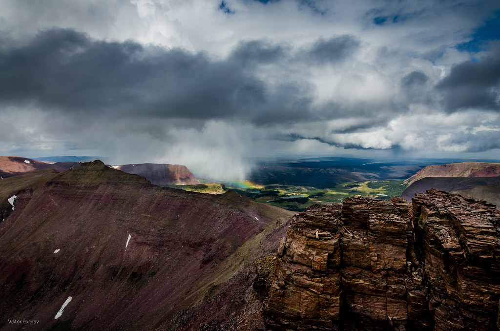
Kings Peak

King's Peak

Henry's Fork at dusk

Henry's Fork basin falls
Topographic Map of Bear Lake, Utah, USA
Find elevation by address:

Places near Bear Lake, Utah, USA:
Robertson
WY-, Fort Bridger, WY, USA
Uinta County
Mountain View
Piedmont
Burntfork
WY-, McKinnon, WY, USA
Fort Bridger
Main St, Fort Bridger, WY, USA
County Road 173
Urie
Lyman
N Main St, Lyman, WY, USA
653 Co Rd 238
Carter
Summit County
Carmel Campground Road
211 Toponce Dr
Manila
Flaming Gorge National Recreation Area
Recent Searches:
- Elevation of Corso Fratelli Cairoli, 35, Macerata MC, Italy
- Elevation of Tallevast Rd, Sarasota, FL, USA
- Elevation of 4th St E, Sonoma, CA, USA
- Elevation of Black Hollow Rd, Pennsdale, PA, USA
- Elevation of Oakland Ave, Williamsport, PA, USA
- Elevation of Pedrógão Grande, Portugal
- Elevation of Klee Dr, Martinsburg, WV, USA
- Elevation of Via Roma, Pieranica CR, Italy
- Elevation of Tavkvetili Mountain, Georgia
- Elevation of Hartfords Bluff Cir, Mt Pleasant, SC, USA