Elevation map of Woods County, OK, USA
Location: United States > Oklahoma >
Longitude: -98.748116
Latitude: 36.7181862
Elevation: 447m / 1467feet
Barometric Pressure: 96KPa
Elevation Map:
Satellite Map:
Related Photos:

A boy and his dog #goodboylevi
The Farmstead DSC_7657

The Farmstead DSC_7656
The Farmstead DSC_7682
The Farmstead DSC_7655
The Farmstead DSC_7683

The Farmstead DSC_7658

123: Guymon, Oklahoma, USA (Destiny & Leah)
The Farmstead DSC_7676
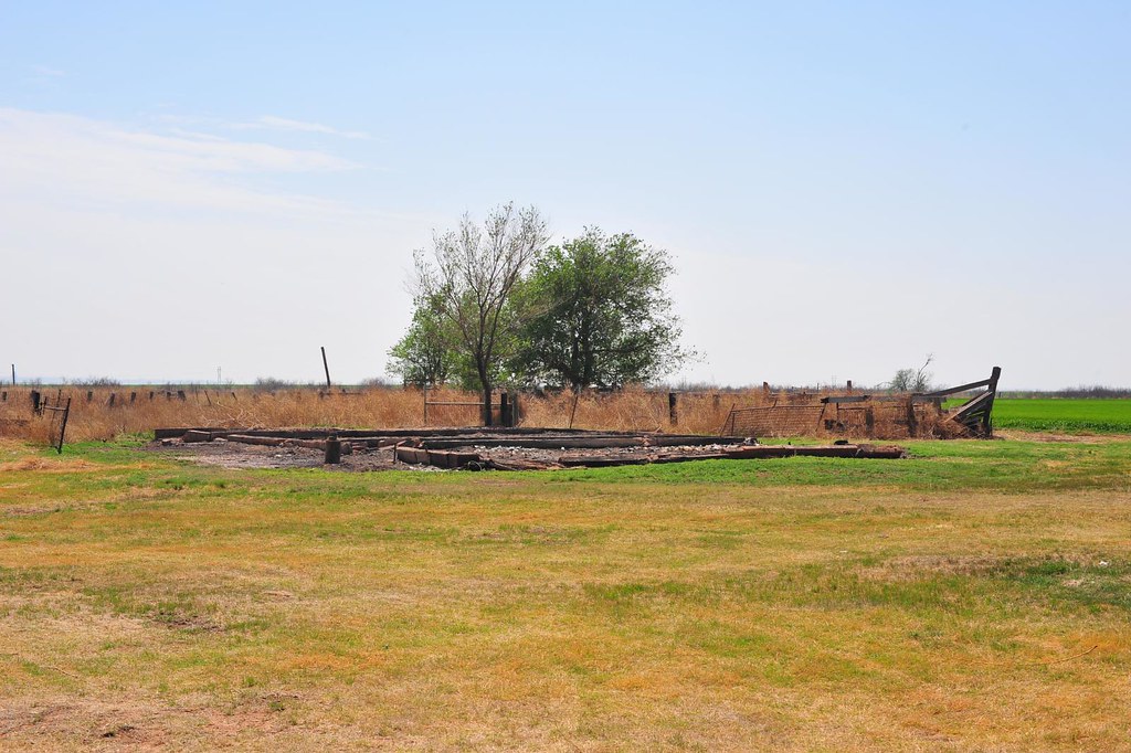
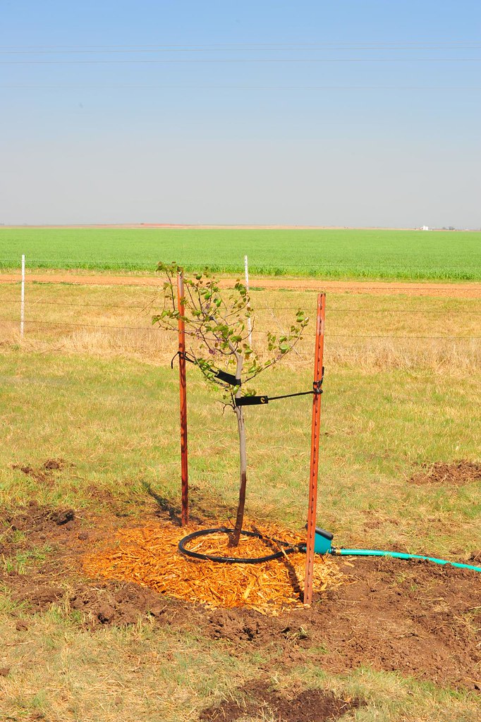
The Farmstead DSC_7645

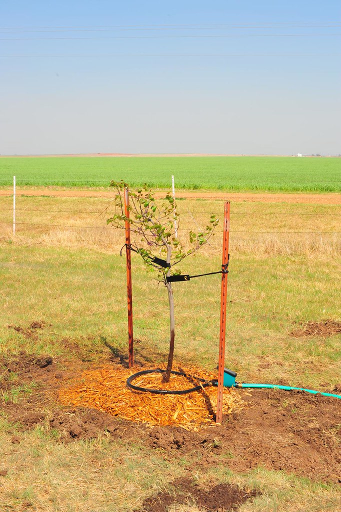
The Farmstead DSC_7642
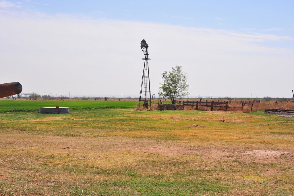
The Farmstead DSC_7643
The Farmstead DSC_7646
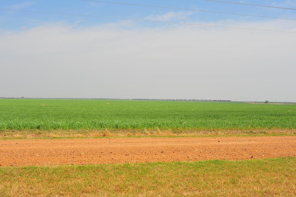
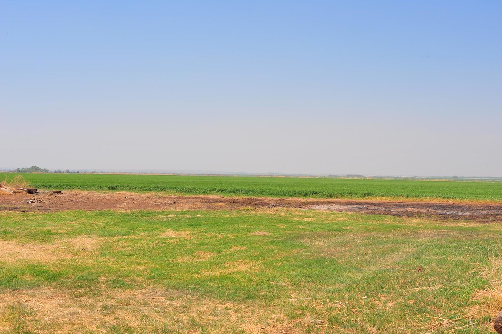
The Red Flats DSC_7686
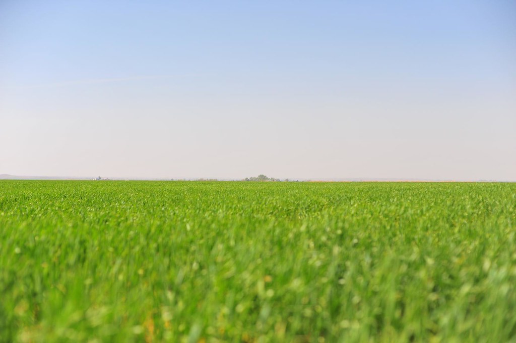
The Red Flats DSC_7685
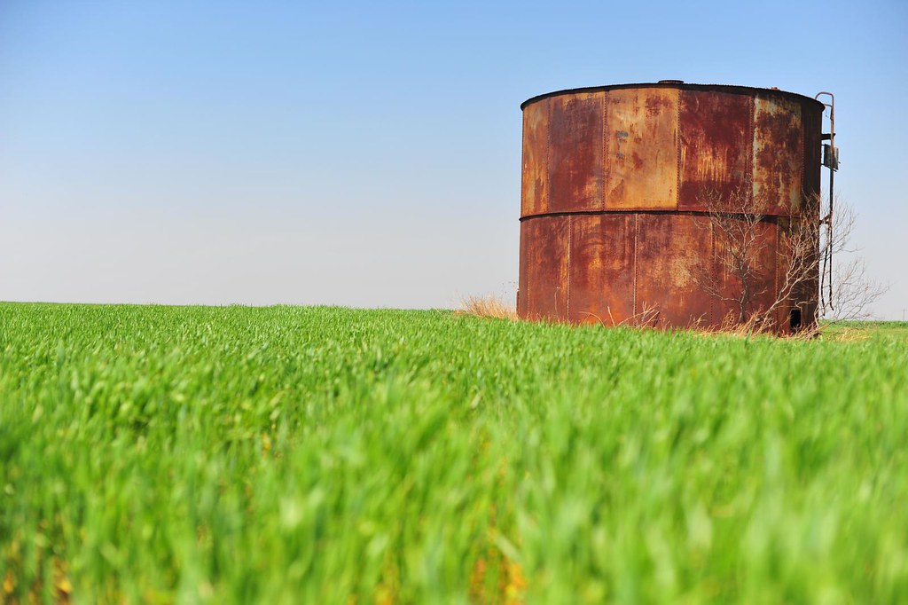
The Farmstead DSC_7684
Topographic Map of Woods County, OK, USA
Find elevation by address:

Places in Woods County, OK, USA:
Places near Woods County, OK, USA:
Northwestern Oklahoma State University
Alva
Waynoka
Capron
24 McKinley St, Capron, OK, USA
Woodsworth Ave, Hardtner, KS, USA
Hardtner
Elwood
Kiowa
Kiowa
Main St, Kiowa, KS, USA
Barber County
Medicine Lodge, KS, USA
511 S Cherry St
203 Market St
Medicine Lodge City Park
N Cherry St, Medicine Lodge, KS, USA
Medicine Lodge
Barber State Fishing Lake And Wildlife Area
Medicine Lodge
Recent Searches:
- Elevation of Corso Fratelli Cairoli, 35, Macerata MC, Italy
- Elevation of Tallevast Rd, Sarasota, FL, USA
- Elevation of 4th St E, Sonoma, CA, USA
- Elevation of Black Hollow Rd, Pennsdale, PA, USA
- Elevation of Oakland Ave, Williamsport, PA, USA
- Elevation of Pedrógão Grande, Portugal
- Elevation of Klee Dr, Martinsburg, WV, USA
- Elevation of Via Roma, Pieranica CR, Italy
- Elevation of Tavkvetili Mountain, Georgia
- Elevation of Hartfords Bluff Cir, Mt Pleasant, SC, USA