Elevation of Northwestern Oklahoma State University, Oklahoma Blvd, Alva, OK, USA
Location: United States > Oklahoma > Woods County > Alva >
Longitude: -98.668294
Latitude: 36.7966974
Elevation: 428m / 1404feet
Barometric Pressure: 96KPa
Elevation Map:
Satellite Map:
Related Photos:

The Farmstead DSC_7657

The Farmstead DSC_7645
The Farmstead DSC_7676

The Farmstead DSC_7655
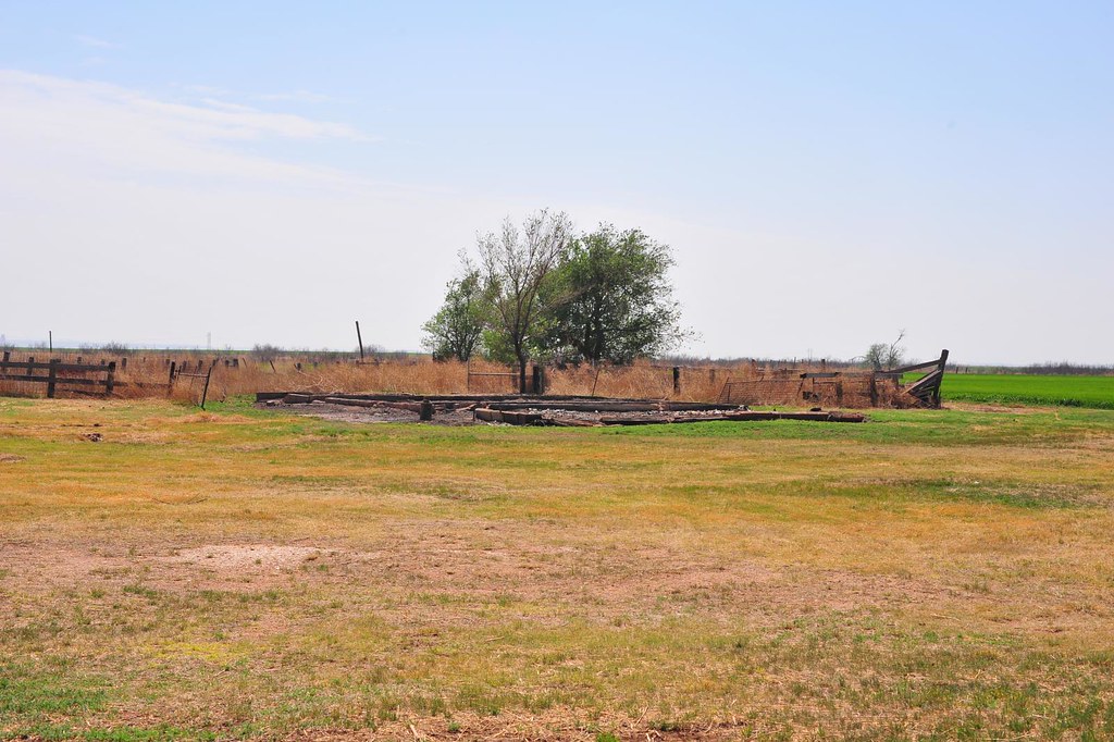
The Farmstead DSC_7642

The Farmstead DSC_7646

The Farmstead DSC_7682

The Farmstead DSC_7643

The Farmstead DSC_7658

The Farmstead DSC_7683

The Farmstead DSC_7656

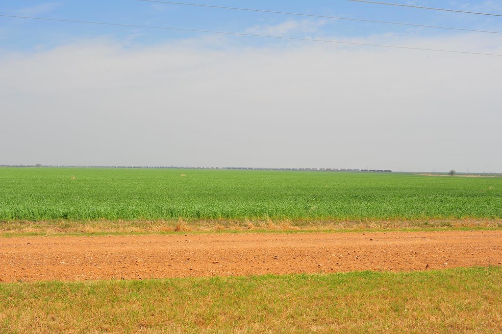
The Red Flats DSC_7686
The Red Flats DSC_7685

A boy and his dog #goodboylevi
The Farmstead DSC_7684
Topographic Map of Northwestern Oklahoma State University, Oklahoma Blvd, Alva, OK, USA
Find elevation by address:

Places near Northwestern Oklahoma State University, Oklahoma Blvd, Alva, OK, USA:
Alva
Woods County
Capron
24 McKinley St, Capron, OK, USA
Woodsworth Ave, Hardtner, KS, USA
Hardtner
Kiowa
Kiowa
Main St, Kiowa, KS, USA
Elwood
Waynoka
Barber County
511 S Cherry St
Medicine Lodge, KS, USA
Medicine Lodge City Park
203 Market St
N Cherry St, Medicine Lodge, KS, USA
Medicine Lodge
Medicine Lodge
Barber State Fishing Lake And Wildlife Area
Recent Searches:
- Elevation of Corso Fratelli Cairoli, 35, Macerata MC, Italy
- Elevation of Tallevast Rd, Sarasota, FL, USA
- Elevation of 4th St E, Sonoma, CA, USA
- Elevation of Black Hollow Rd, Pennsdale, PA, USA
- Elevation of Oakland Ave, Williamsport, PA, USA
- Elevation of Pedrógão Grande, Portugal
- Elevation of Klee Dr, Martinsburg, WV, USA
- Elevation of Via Roma, Pieranica CR, Italy
- Elevation of Tavkvetili Mountain, Georgia
- Elevation of Hartfords Bluff Cir, Mt Pleasant, SC, USA