Elevation of Woodruff, UT, USA
| Latitude | 41.5218878 |
|---|---|
| Longitude | -111.1624159 |
| Elevation | 1932m / 6339feet |
| Barometric Pressure | 802KPa |
Related Photos:
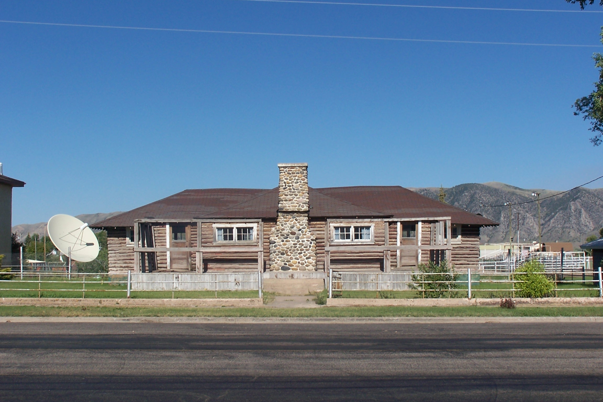
Log House, Front View
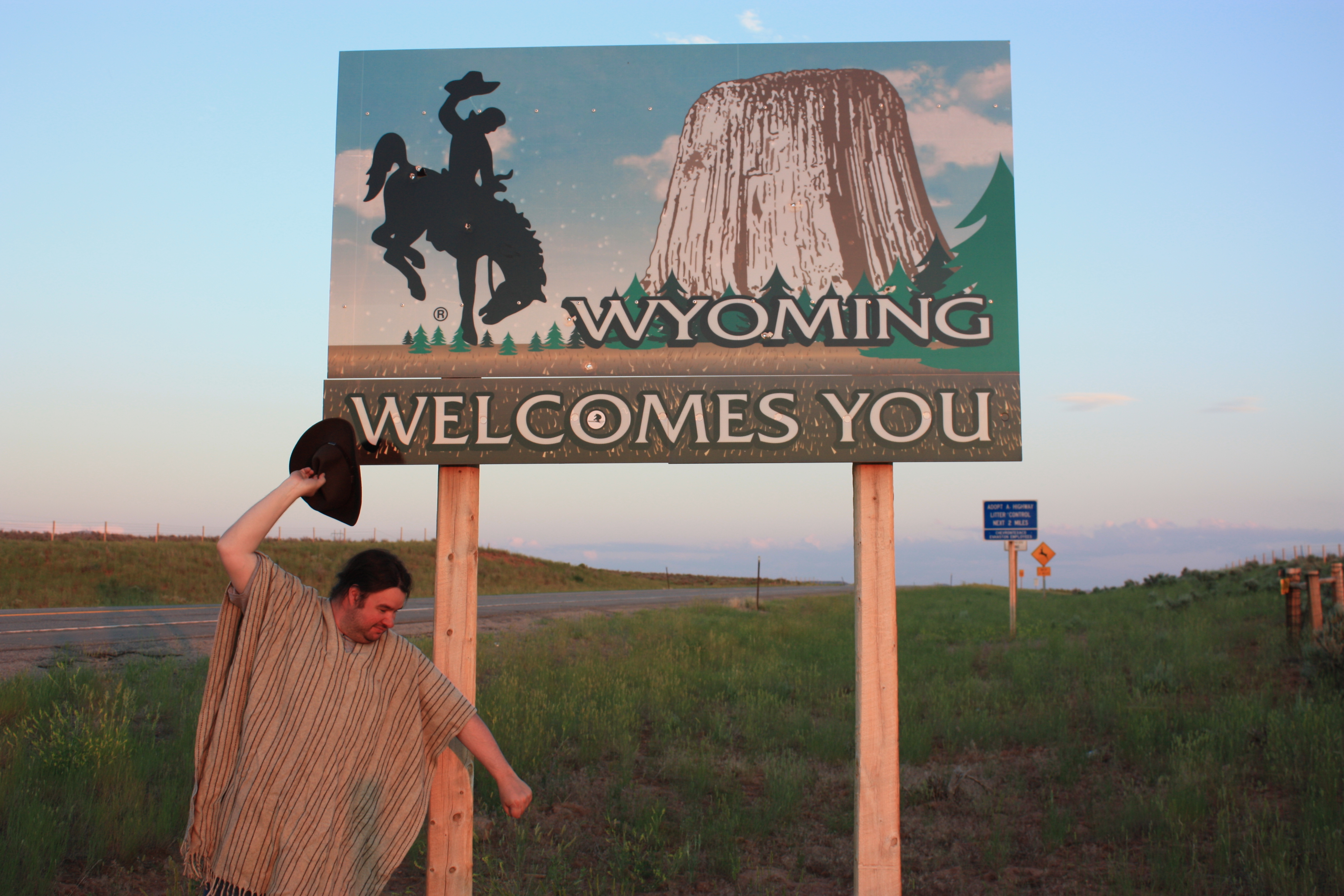
At the Wyoming border

Happy Fence Friday!
Little House on the Prairie
Golden evening
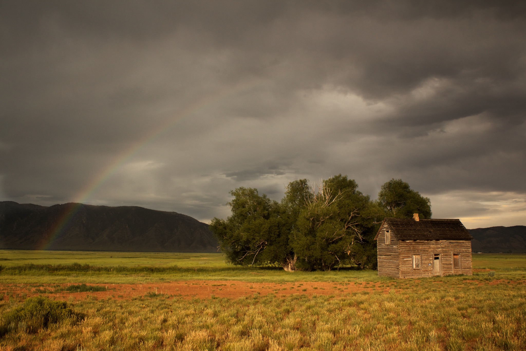
End of the Rainbow
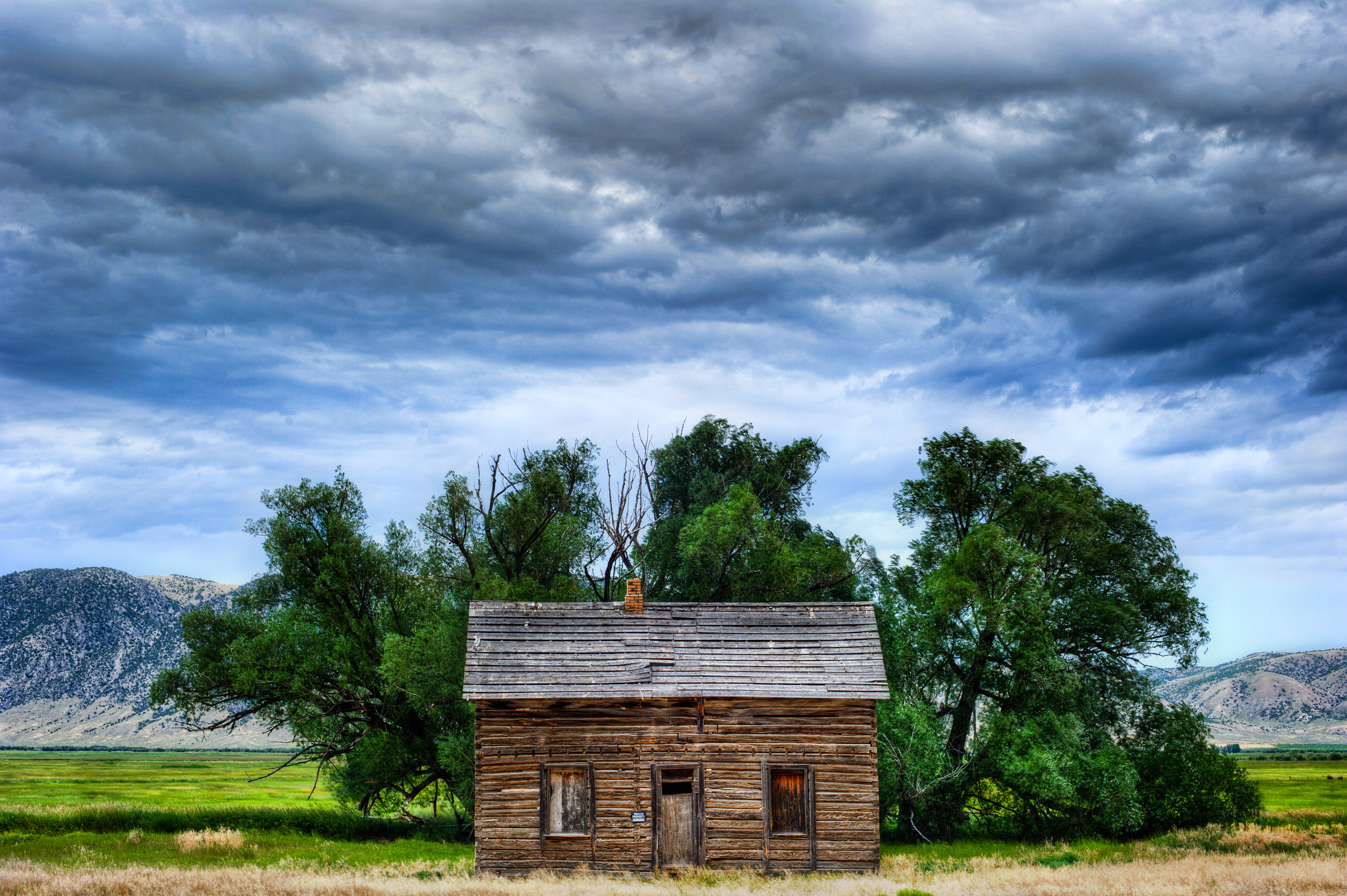
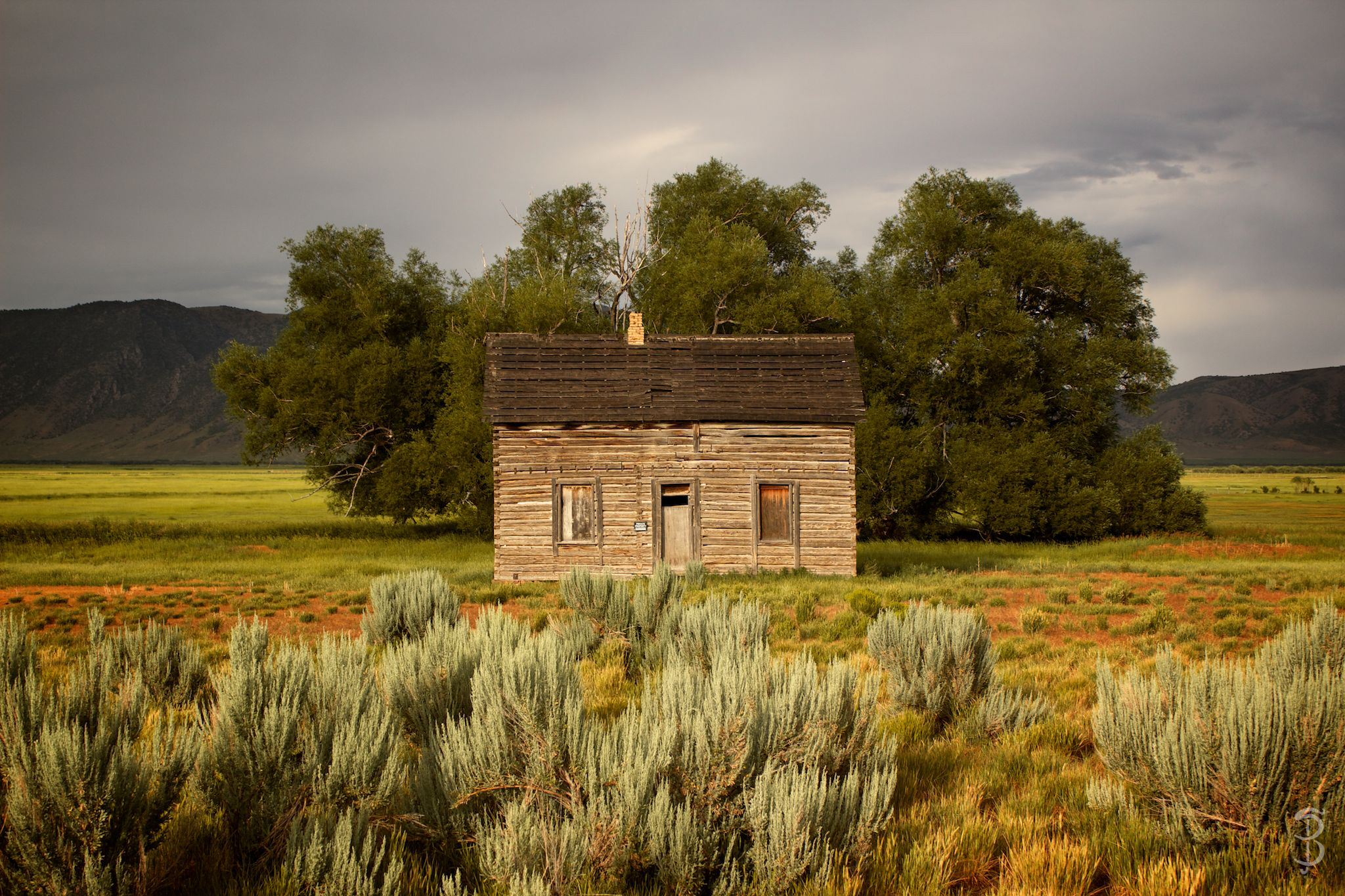
A House with a History

Salt Lake City to Jackson WY - Sturgis 2013
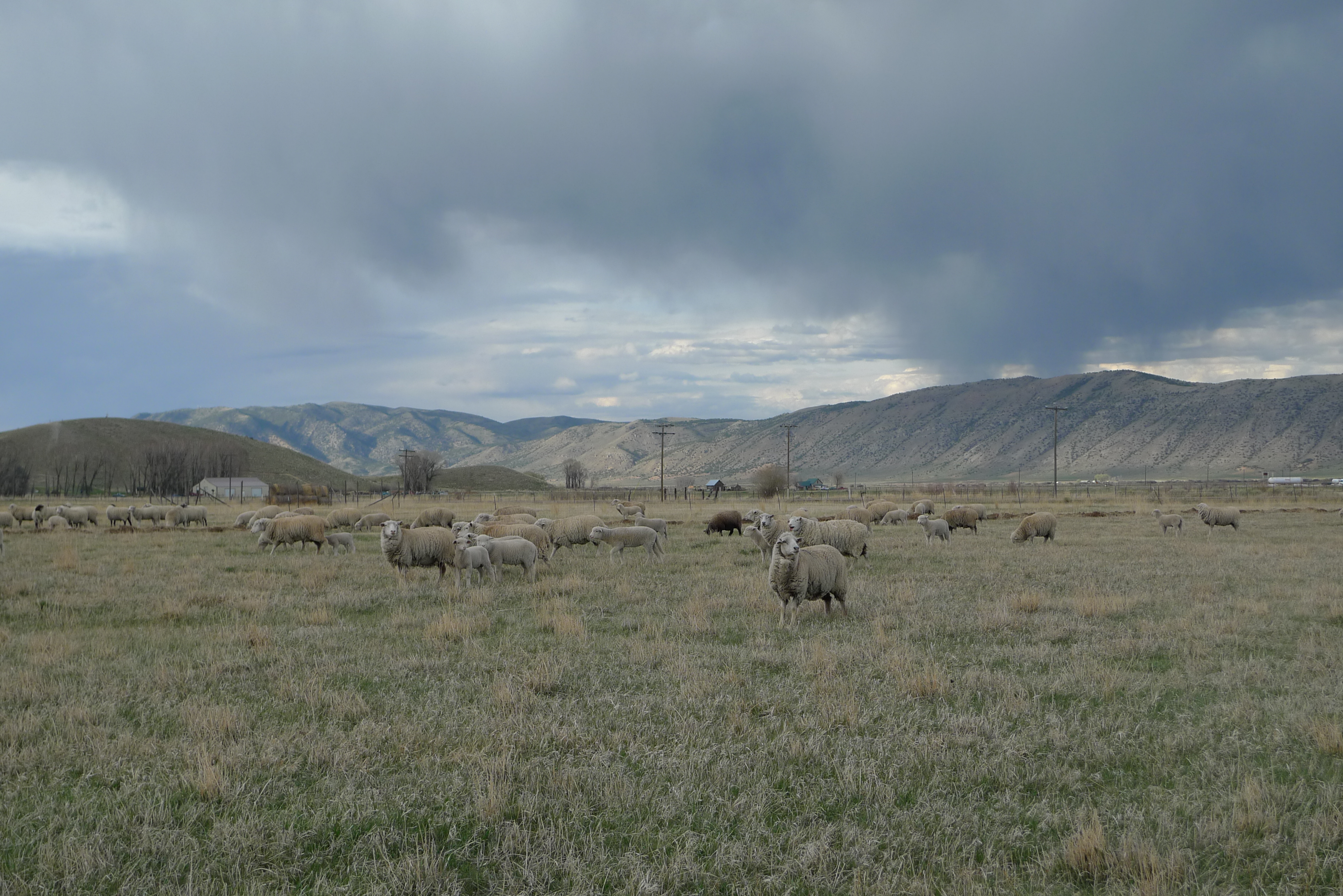
George Fraziers' Sheep 4
evanston-81
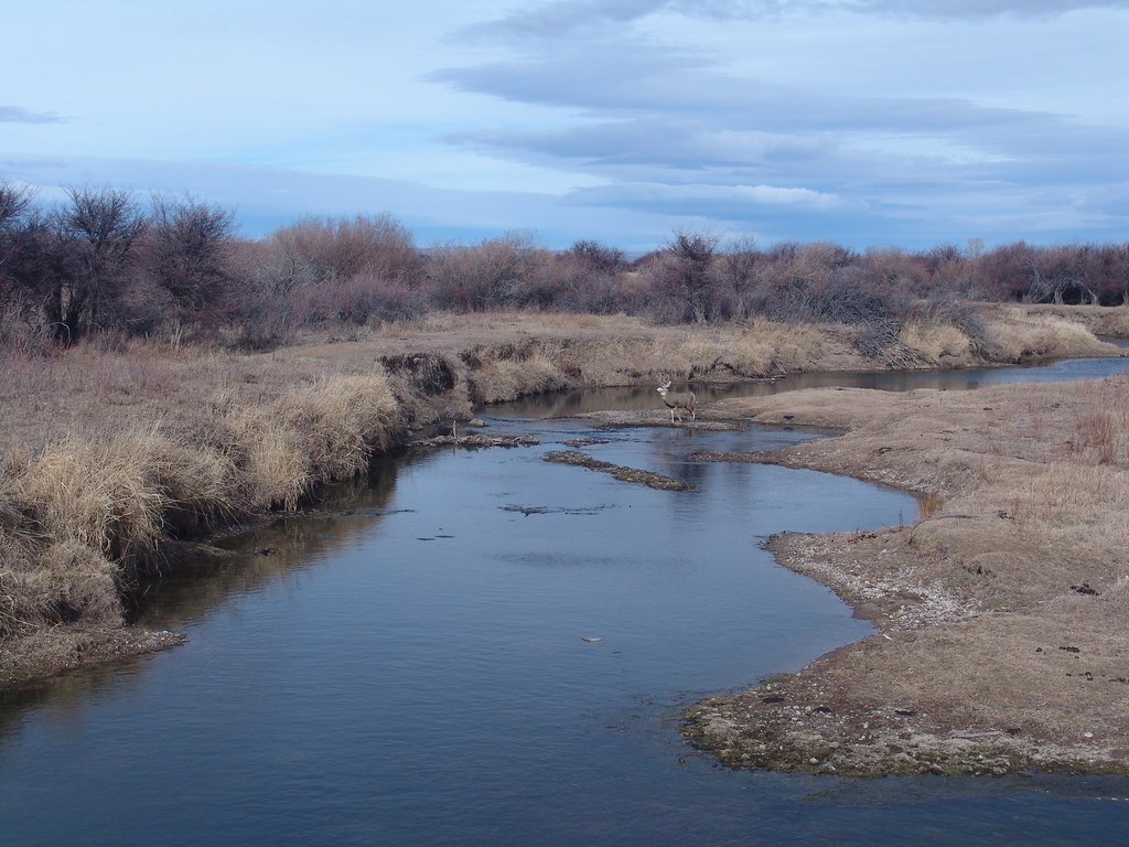
Deer Crossing
evanston-80
Topographic Map of Woodruff, UT, USA
Find elevation by address:
Places in Woodruff, UT, USA:
Places near Woodruff, UT, USA:
Rich County
Randolph
10 N Main St, Randolph, UT, USA
Eccles Peak
Wahsatch
Laketown
Ant Flat Road
Wasatch Range
Maple Dr, Garden City, UT, USA
Causey Reservoir
Garden City
Emory
Main Loop Road
2mmv+c4
Bear Lake Summit
Bear Lake
Hyrum City Park
Utah 101
Interstate 80
US-89, Fish Haven, ID, USA
Recent Searches:
- Elevation of 104, Chancery Road, Middletown Township, Bucks County, Pennsylvania, 19047, USA
- Elevation of 1212, Cypress Lane, Dayton, Liberty County, Texas, 77535, USA
- Elevation map of Central Hungary, Hungary
- Elevation map of Pest, Central Hungary, Hungary
- Elevation of Pilisszentkereszt, Pest, Central Hungary, Hungary
- Elevation of Dharamkot Tahsil, Punjab, India
- Elevation of Bhinder Khurd, Dharamkot Tahsil, Punjab, India
- Elevation of 2881, Chabot Drive, San Bruno, San Mateo County, California, 94066, USA
- Elevation of 10370, West 107th Circle, Westminster, Jefferson County, Colorado, 80021, USA
- Elevation of 611, Roman Road, Old Ford, Bow, London, England, E3 2RW, United Kingdom
- Elevation of 116, Beartown Road, Underhill, Chittenden County, Vermont, 05489, USA
- Elevation of Window Rock, Colfax County, New Mexico, 87714, USA
- Elevation of 4807, Rosecroft Street, Kempsville Gardens, Virginia Beach, Virginia, 23464, USA
- Elevation map of Matawinie, Quebec, Canada
- Elevation of Sainte-Émélie-de-l'Énergie, Matawinie, Quebec, Canada
- Elevation of Rue du Pont, Sainte-Émélie-de-l'Énergie, Matawinie, Quebec, J0K2K0, Canada
- Elevation of 8, Rue de Bécancour, Blainville, Thérèse-De Blainville, Quebec, J7B1N2, Canada
- Elevation of Wilmot Court North, 163, University Avenue West, Northdale, Waterloo, Region of Waterloo, Ontario, N2L6B6, Canada
- Elevation map of Panamá Province, Panama
- Elevation of Balboa, Panamá Province, Panama