Elevation of Woodhull, NY, USA
Location: United States > New York > Steuben County >
Longitude: -77.401340
Latitude: 42.0708548
Elevation: 464m / 1522feet
Barometric Pressure: 96KPa
Elevation Map:
Satellite Map:
Related Photos:

B&M 209 Saunders Road

Unlabeled ambrotype c. 1859, possibly Louisa Melvina (Countryman) June (1829-1920) and Elias C. June (1826-1891) of Jasper, New York

NS 7657

Saunders Road

Canisteo Valley early autumn

Amish birth center

Buffalo Trip-44

NYSW 3002 Rathbone

NS 36T @ Addison

Curve along the Canisteo
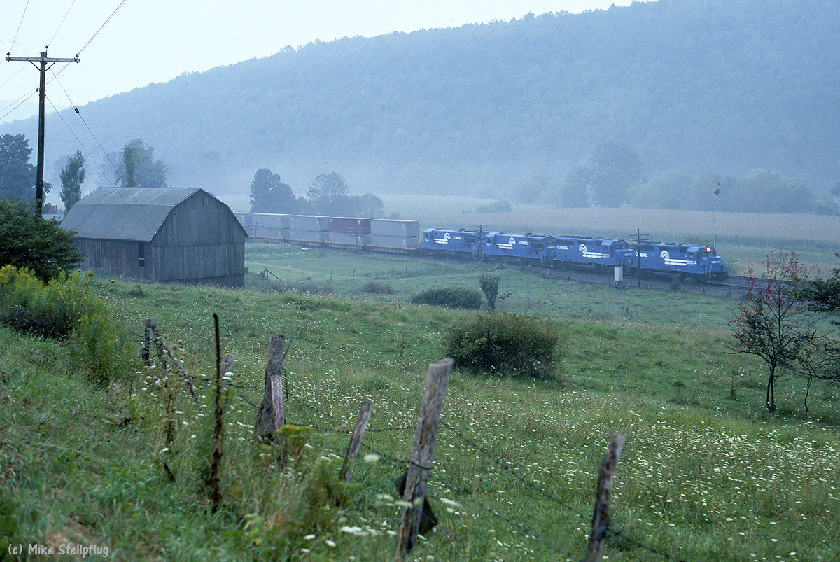
CR 3004 Barn

NS 8104

INT 8105 Church

IT 1072 church

DLW 1074 church
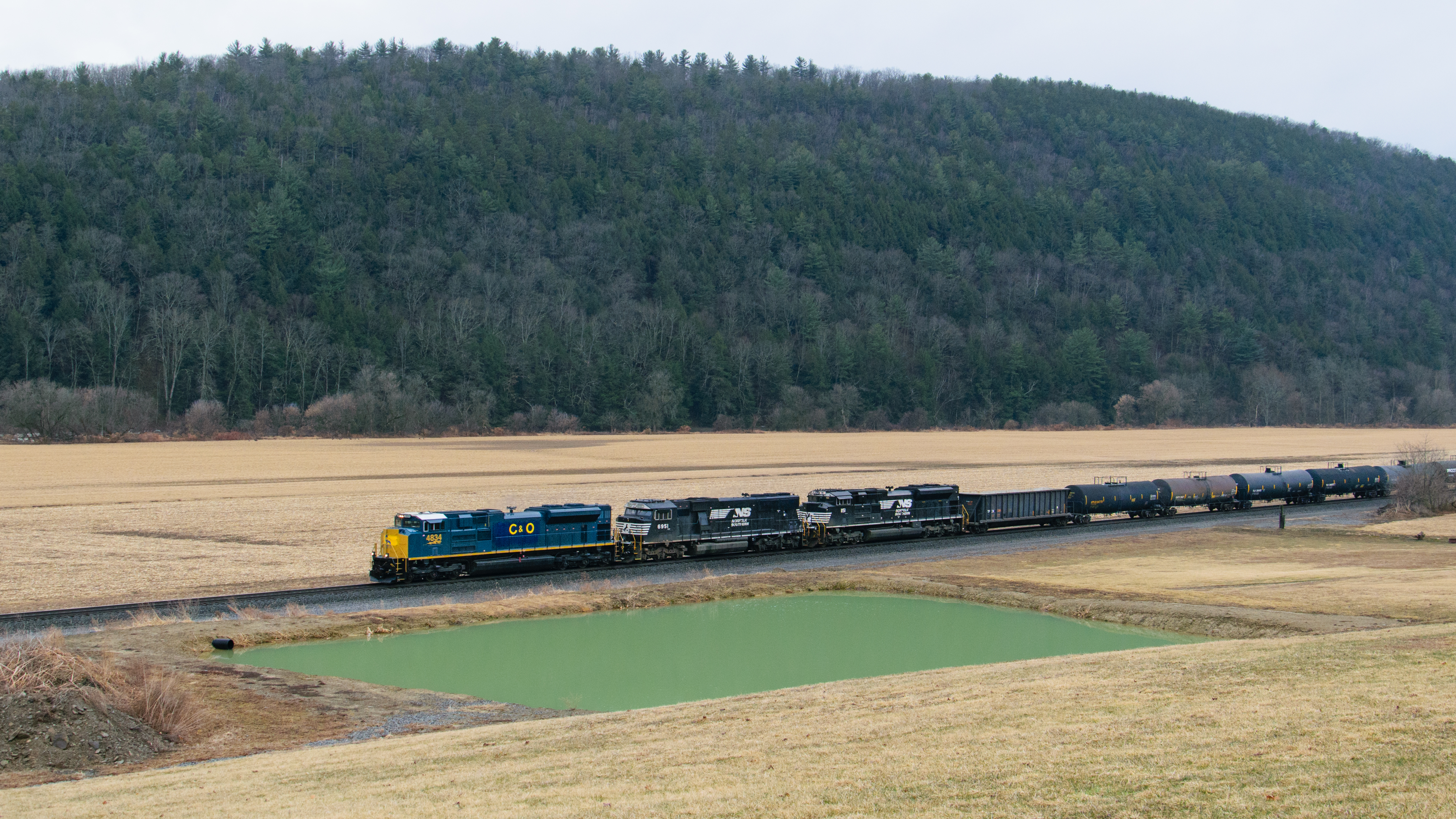
PRLX 4834 SD70ACe - 36T

DLW 1074 pace

NS interlude

Cameron, NY

13T, NS 8025
Topographic Map of Woodhull, NY, USA
Find elevation by address:

Places near Woodhull, NY, USA:
Main St, Woodhull, NY, USA
4707 Cook Rd
2201 Smith Rd
Rathbone
Jackson Hill Road
S Church Rd, Cameron, NY, USA
Jasper
2245 Hunter Hill Rd
Grinnold Rd, Troupsburg, NY, USA
Jasper
Troupsburg
Troupsburg
3359 Ny-36
3359 Ny-36
Mc Allister Rd, Troupsburg, NY, USA
2171 Ny-417
Rough and Ready Rd, Rexville, NY, USA
Greenwood
Rexville
West Union
Recent Searches:
- Elevation of Corso Fratelli Cairoli, 35, Macerata MC, Italy
- Elevation of Tallevast Rd, Sarasota, FL, USA
- Elevation of 4th St E, Sonoma, CA, USA
- Elevation of Black Hollow Rd, Pennsdale, PA, USA
- Elevation of Oakland Ave, Williamsport, PA, USA
- Elevation of Pedrógão Grande, Portugal
- Elevation of Klee Dr, Martinsburg, WV, USA
- Elevation of Via Roma, Pieranica CR, Italy
- Elevation of Tavkvetili Mountain, Georgia
- Elevation of Hartfords Bluff Cir, Mt Pleasant, SC, USA