Elevation of Woodfall Dr, Murrieta, CA, USA

Location: United States > California > Riverside County > Murrieta >

Longitude: -117.14826

Latitude: 33.5589382

Elevation: 370m / 1214feet

Barometric Pressure: 97KPa

Elevation Map:

elevation map of Woodfall Dr, Murrieta, CA, USA

Satellite Map:

Satellite map of Woodfall Dr, Murrieta, CA, USA

Related Photos:

blue abstract building glass night bravo cyan direction question arrows feelings thisway chevrons blueribbonwinner platinumphoto platinumsuperstar
why do I feel this way?
sky sun rain clouds temecula
Panorama looking south across the street from the library
california blue friends funnyface eye smile face sunglasses losangeles vineyard vines eyes october funny wine blueeyes pop winery winetasting grapes scowl temecula wrinkle blueeye 2010 wineries
Before Starbacks, After Starbucks
blue trees sunset orange sun yellow clouds sunrise photography lewis antoine marquis menifee
Menifee Sunset
california sign downtown view peggy oldtown temecula ©allrightsreserved ©peggyhughes
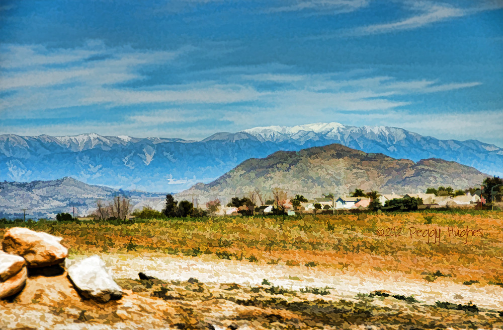
Temecula, California
blue trees sunset red sun tree yellow clouds sunrise photography lewis antoine marquis menifee
Menifee Sunset #2
atlas rocket launch vandenberg ula
Atlas 5 Rocket Launch
flowers cloud memorial diane firstdayofspring
The Day After the Last Day of Winter
square squareformat mayfair iphoneography instagramapp uploaded:by=instagram foursquare:venue=4d03d7892f96f04d074a1a54
My lunchtime view from the breakroom patio at work
double deck motor bus motorcoach doubledeck 6362 vanhool mcoach coach skippergary
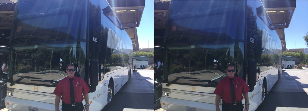
Skipper Gary is proud to be of five-star service with his double-deck VanHool TD925 inter-urban Astromega 81 passenger Motor Coach, #6362 in the Mcoach San Diego fleet.
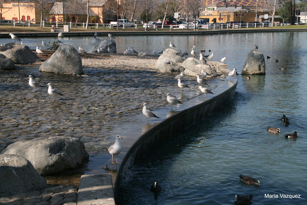
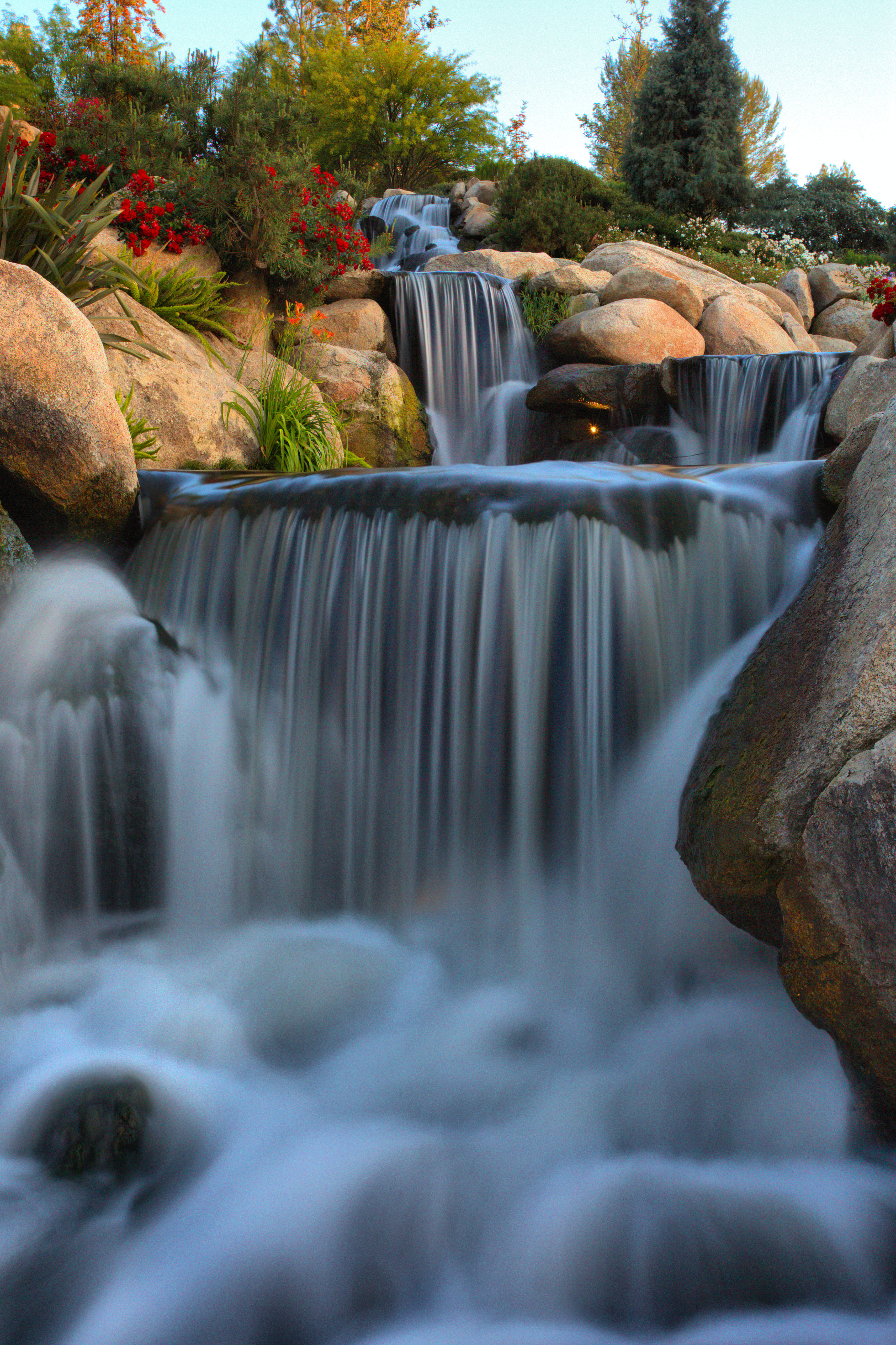
california sunday temecula daytrip
A view to the pond
ca wedding femme butch familyvalues lesbianwedding prop8 noonprop8 yesonprop8 butreallynoonprop8becauseiwanttheclosedmindedpeopletoknowthatitisaboutloveratherthangender realfamilyvalues
Finally....
california unitedstates places temecula santamargaritaecologicalreserve
Lunch Time View
california nightphotography nightshot hotels temecula bluelights longexposures palomarinn hotelpalomar oldtowntemecula llghts temeculahouseofwine oldtown112809meetup hotelsusa
A little bit blue
california sky aircraft balloon flight hotairballoon temecula winecountry
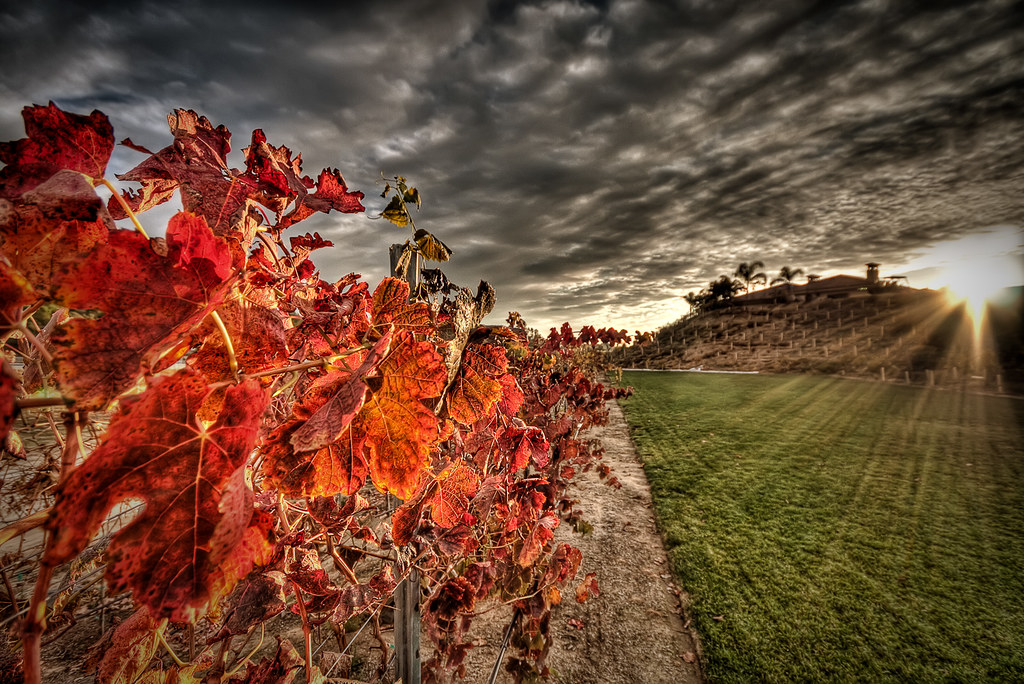
Wine Country Temecula
riversidecounty vespersparrow pooecetesgramineus santarosaplateauecologicalreserve santaroseplateau
Vesper Sparrow (Pooecetes gramineus)
ferocactus latispinus aka devilstongue devil tongue devils barrel kakteen cactus mexico cactusblooms cacti cactusflowers cactiblooms bloom blooms bloomingcactus bloompictures flower floweringcactus flowers f
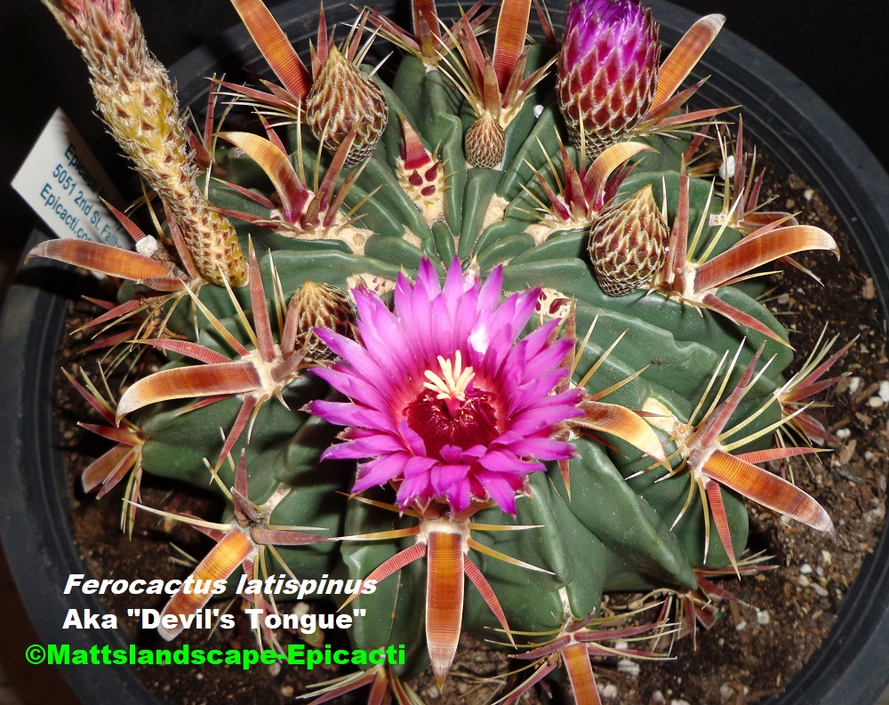
Ferocactus Latispinus Aka "Devils Tongue" (Bloom pic #2 and growth-apex view))
nature bench wildlife santarosaplateau
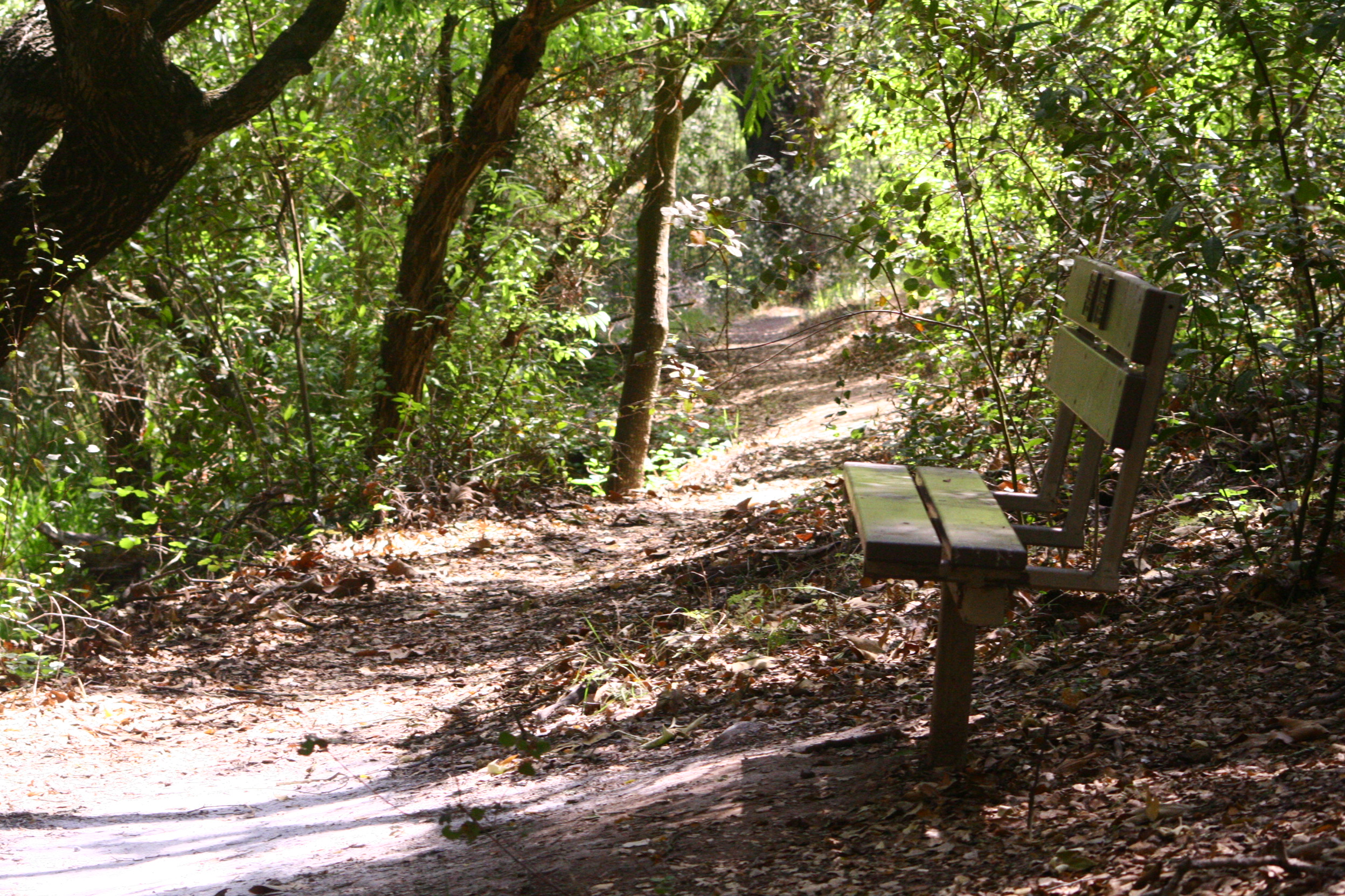
a bench in the woods
bird nature birds wings flickr hawk wildlife explore coopers fethers
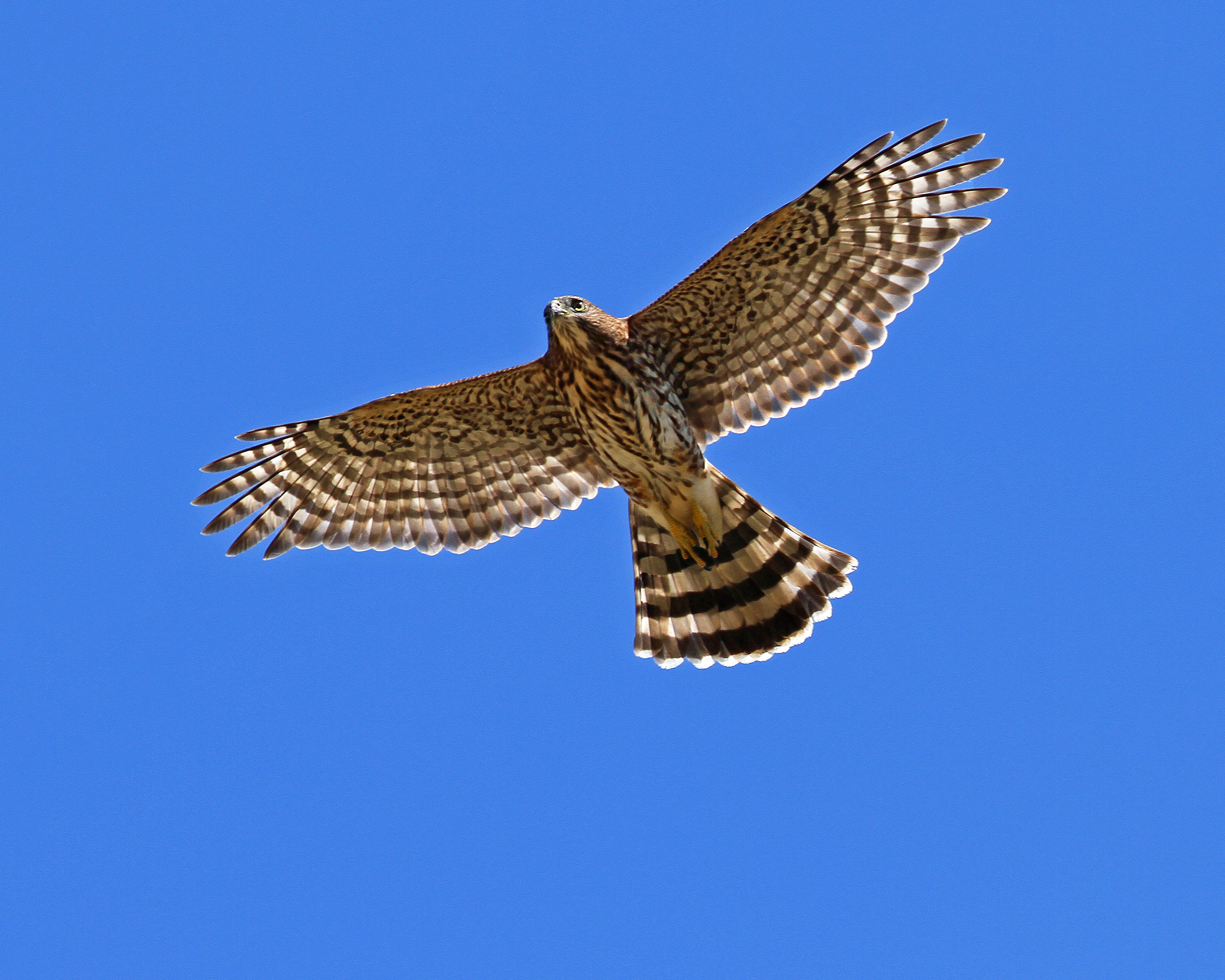
Cooper's Hawk. Murrieta CA.
square toaster squareformat iphoneography instagramapp uploaded:by=instagram foursquare:venue=4f5f6b37e4b0e5574bca039d
One last view, so sad to leave here!
autumn friends sunset red sky color grass clouds photoshop landscape vineyard colorful wine socal grapes handheld hdr sigma1020mm 10mm photomatix tophdr canon40d hdraddicted joeercoli anvilimage
The Day's End
california longexposure water waterfall silk golfcourse temecula redhawk ☆thepowerofnow☆ bobbyaycock
THE END RESULT, EXPLORED #54
california tree green nature grass canon landscape spring powershot santarosaecologicalreserve sx260
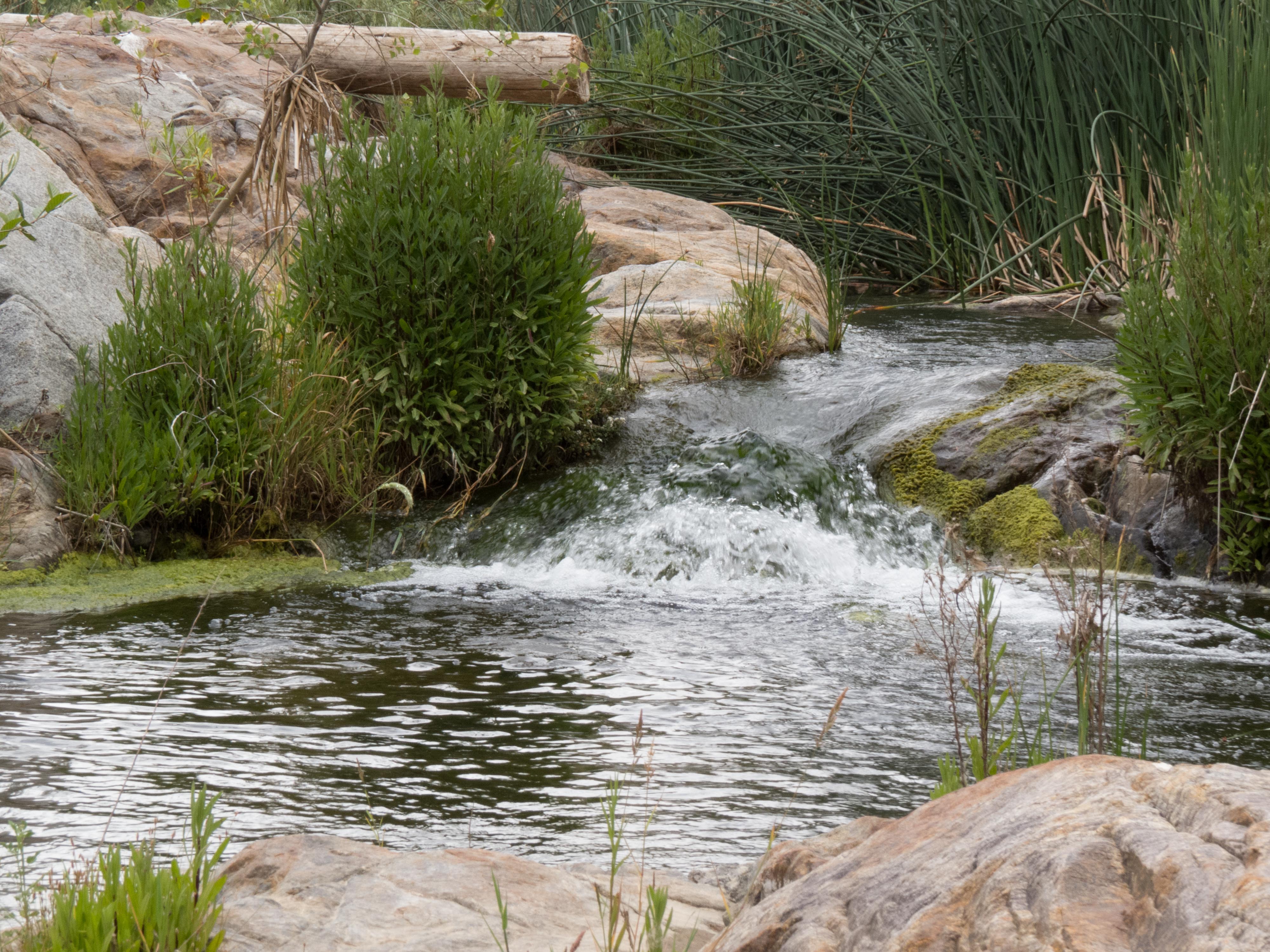
Springtime, Santa Rosa Plateau
california canon vernalpool santarosaplateau riversidecounty blueribbonwinner wildflowersunset
Santa Rosa Plateau Vernal Pool (Explored)
santa tree field clouds 35mm nikon rosa f2 nikkor plains studios barrens d3 murrieta santarosaplateau plainjoe isayx3 plainjoephotoblogcom
The Long and Winding Road
california usa tree nature fog canon landscape photo oak flickr award lone temecula 2009 naturepreserve murrieta cubism santarosaplateau potofgold tenaja 40d treesubject photographersnaturecom davetoussaint davetoussaintcom
Fog shrouded Oak Tree
trees plants green grass canon walking landscape outdoors spring afternoon unitedstates hiking scenic powershot socal vegetation southerncalifornia oaks santarosaplateau riversidecounty ecologicalreserve project365 sx260
To the place I belong, Project 365: 75/365
park sports ronald reagan ronnie temecula
Morning fog hanging low
california travel usa nature canon landscape photo exploring harvest valley grapes temecula 2009 winecountry cabernet grapevines 40d photographersnaturecom davetoussaint davetoussaintcom updatecollection
Harvest Time
california santa unitedstates rosa murrieta plateauecologicalreservemurrietta
Santa Rosa 263
trees sunset sky sun mountain lake black classic beautiful grass car pine clouds river landscape nice skies desert wine country surreal stormy brush camaro valley land 1997 winecountry musclecar 1997camaro tesch17
1997 Camaro Sunset
adventure climb clouds forest grass hike hill meadow pasture silhouette summer sunset trees up walk
The Man Who Went Up a Hill and Other Stories
trees plants green canon walking landscape outdoors spring afternoon unitedstates hiking scenic powershot socal vegetation southerncalifornia oaks santarosaplateau riversidecounty ecologicalreserve sx260
Standing Proud
california trees landscape oak nikon unitedstates nikkor murrieta 20mmf35ais santarosaplateauecologicalreserve d700
Santa Rosa Plateau Ecological Reserve
dng
Bunchgrass Prairie and Engelmann Oak Woodland
california painterly painting edited digitalart peggy pse topaz menifee ©allrightsreserved ©peggyhughes simplify4
Menifee, California
california winery temecula vinyards landscpe canoneos5dmarkii bodidly
Temecula Jan-25-15
Menifee Lakes Golf Course
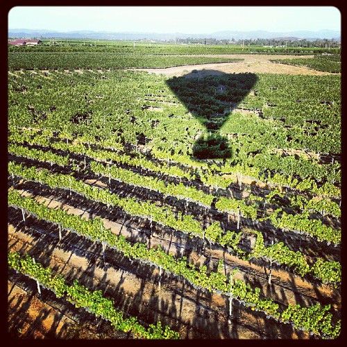
Floatin' over the vineyards @temecula_wine @cal_dreamin
santarosaplateau lauraphotos wsweekly85
Blowing in the Wind