Elevation of Woodbury, VT, USA
Location: United States > Vermont > Washington County >
Longitude: -72.416495
Latitude: 44.4408888
Elevation: 365m / 1198feet
Barometric Pressure: 97KPa
Elevation Map:
Satellite Map:
Related Photos:

Boston view

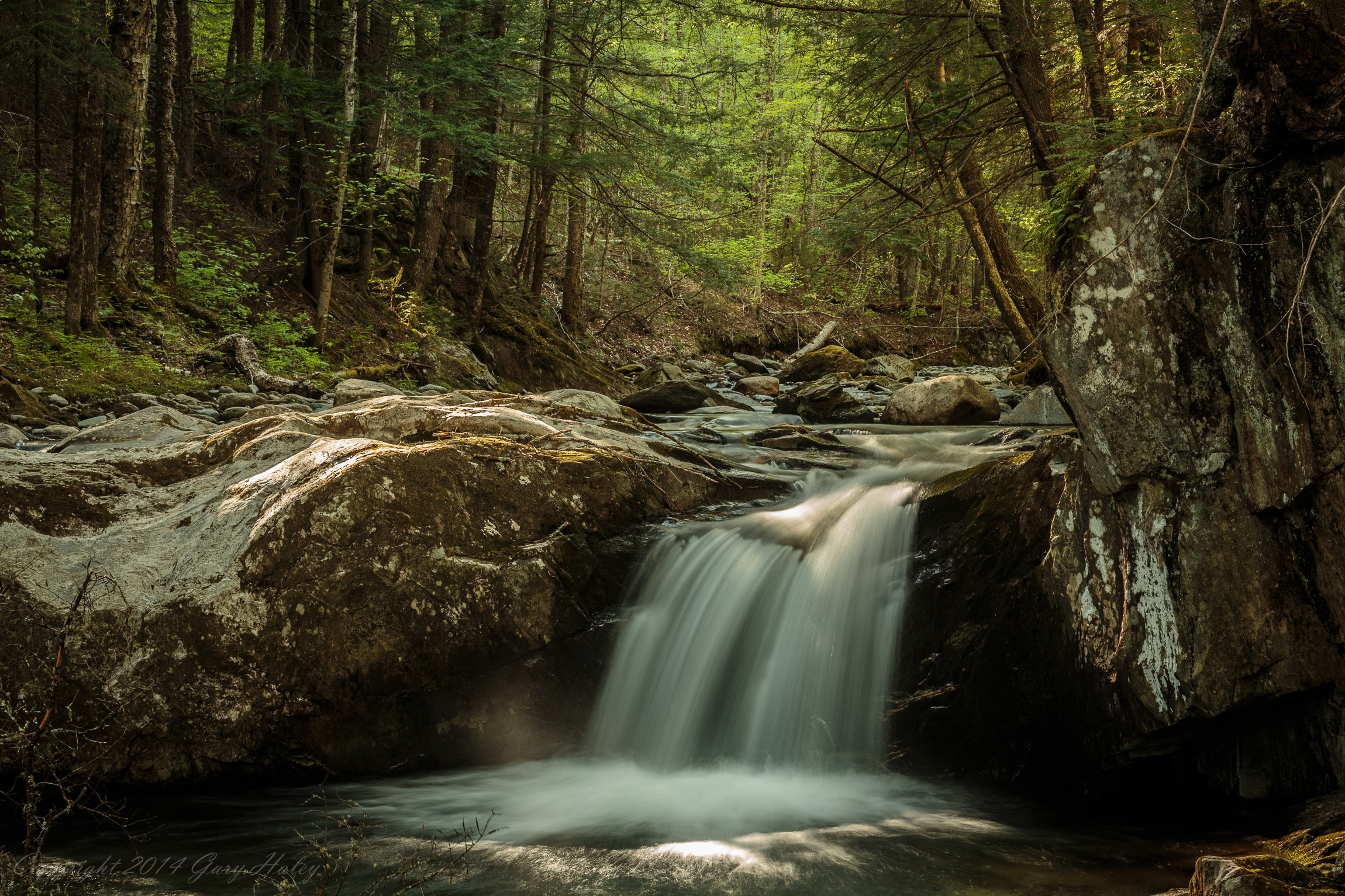
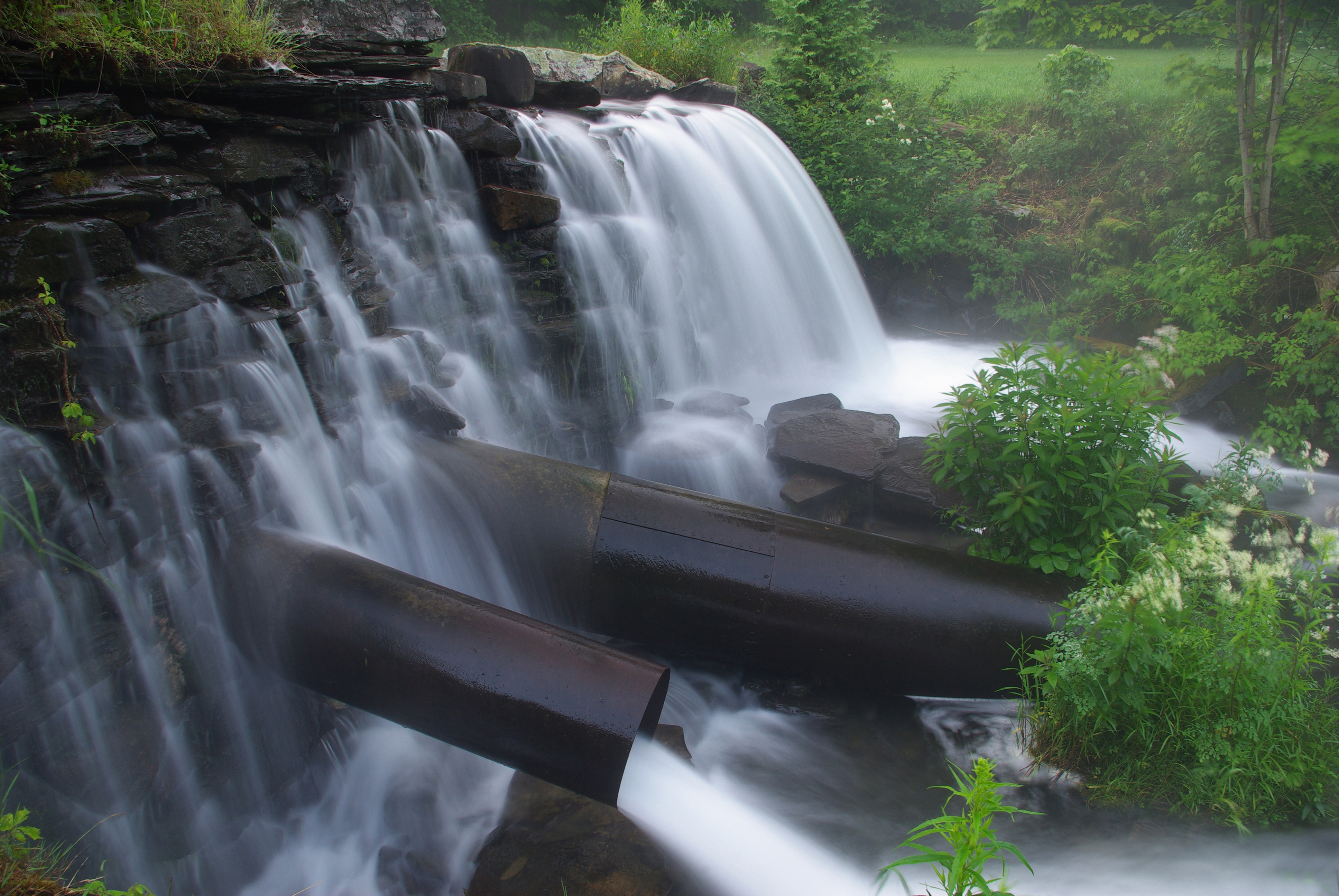
Worcester Waterfall

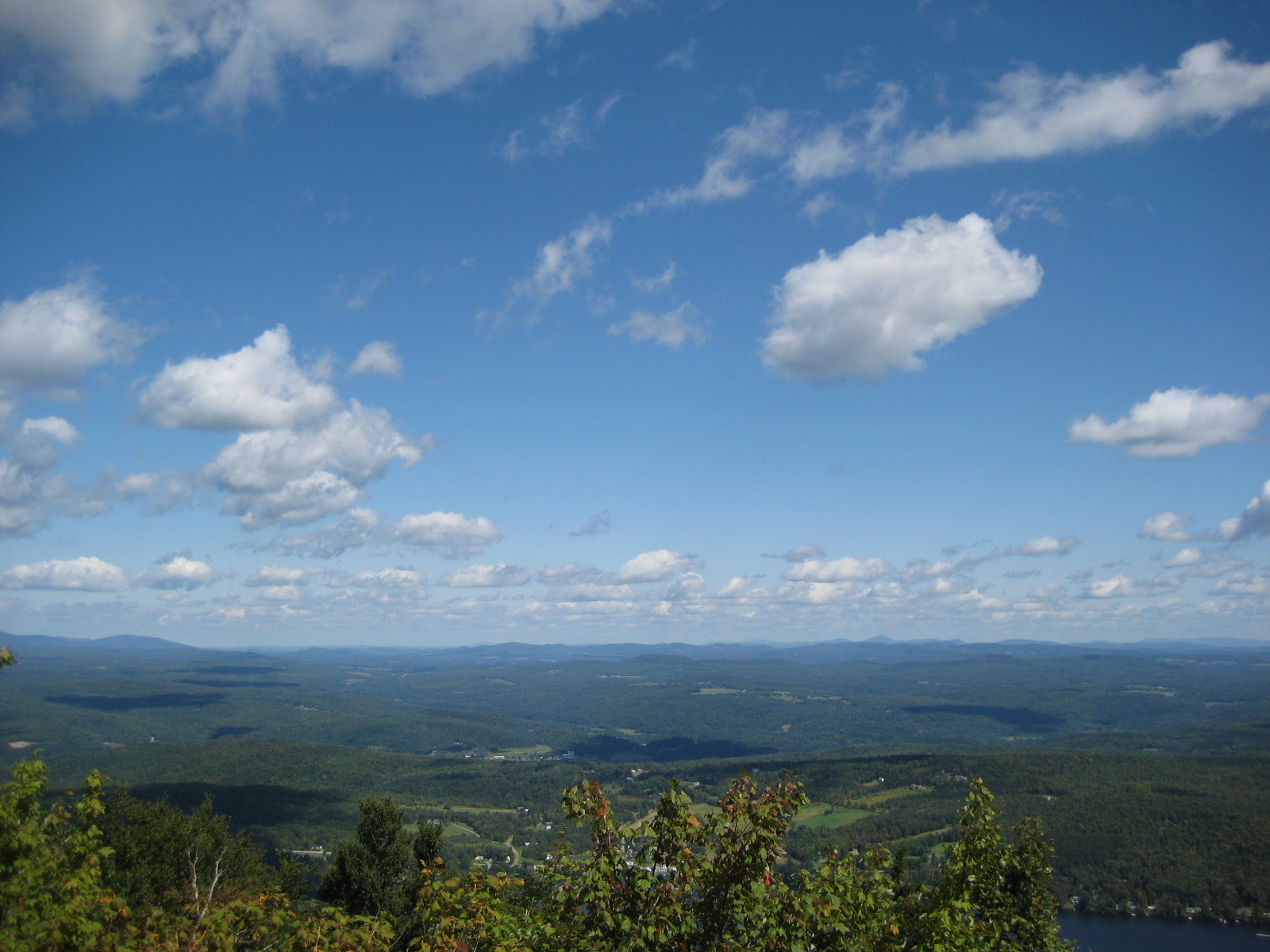
Calais view
Drive to Stowe - roadside view 1

Drive to Stowe - roadside view 5
Mollys Fall Pond 2
Drive to Stowe - roadside view 3
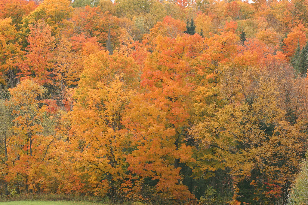
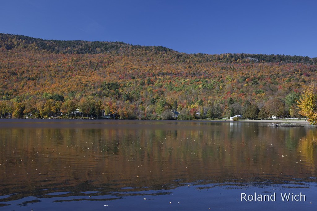
Vermont Fall Foliage 1

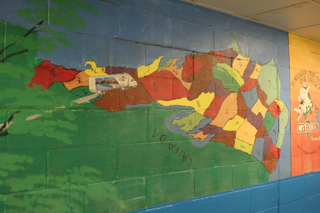
Cabot, VT - Farm
The US as Seen From Vermont

Mollys Fall Pond 3
Come for the view, stay because you're dead.

IMG_1350.CR2
View of Lamoille Valley from trail lookout at Mt Elmore at Elmore State Park, VT
IMG_1343.CR2
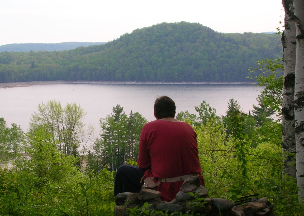
Thoughtful Thorson

Mollys Fall Pond 1
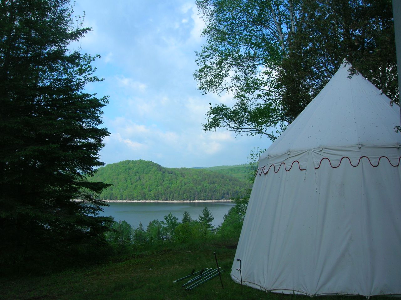
2007-05-27 Panteria View w Tent

End Of The Road
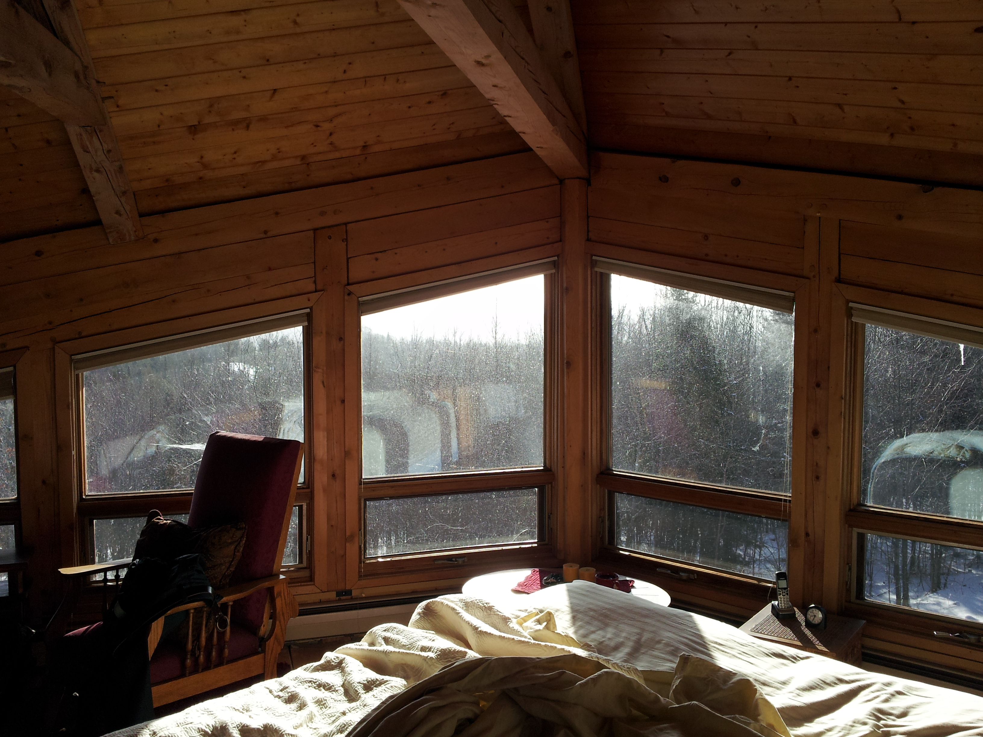
Upstairs Cabin View

Outhouse with a View

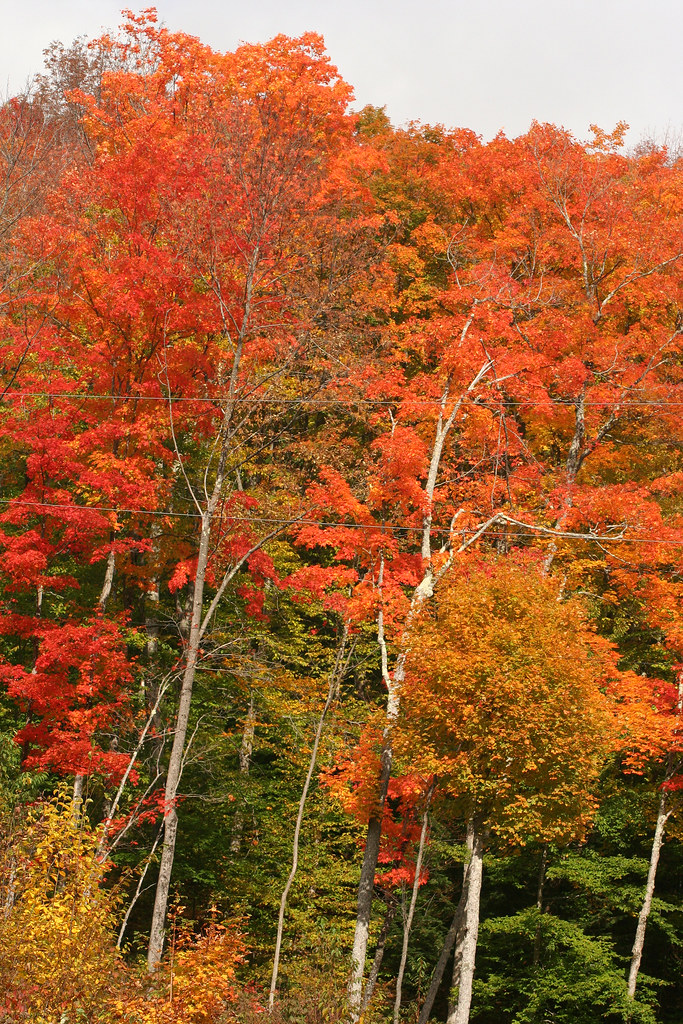
Calais Vermont Foliage

Fisher Railroad Bridge, Vermont (VT-08-16) (DSH_5512-13)
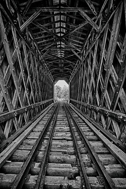
A Look Inside - Fisher Railroad Bridge, Vermont (VT-08-16) (DSH_5525-26)
Lake Elmore

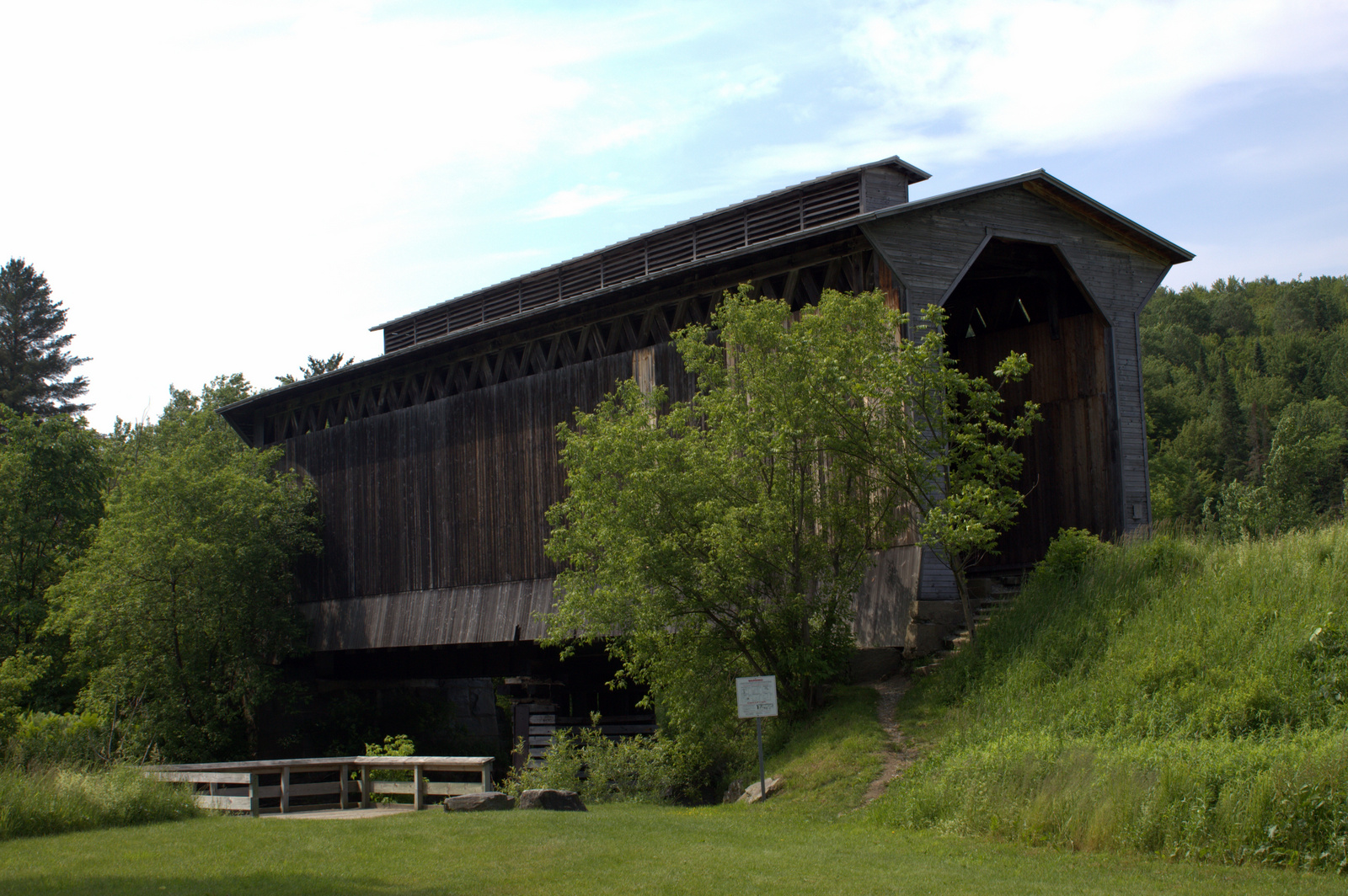
A.M. Foster Covered Bridge

Greenwood Lake Foliage

October Evening
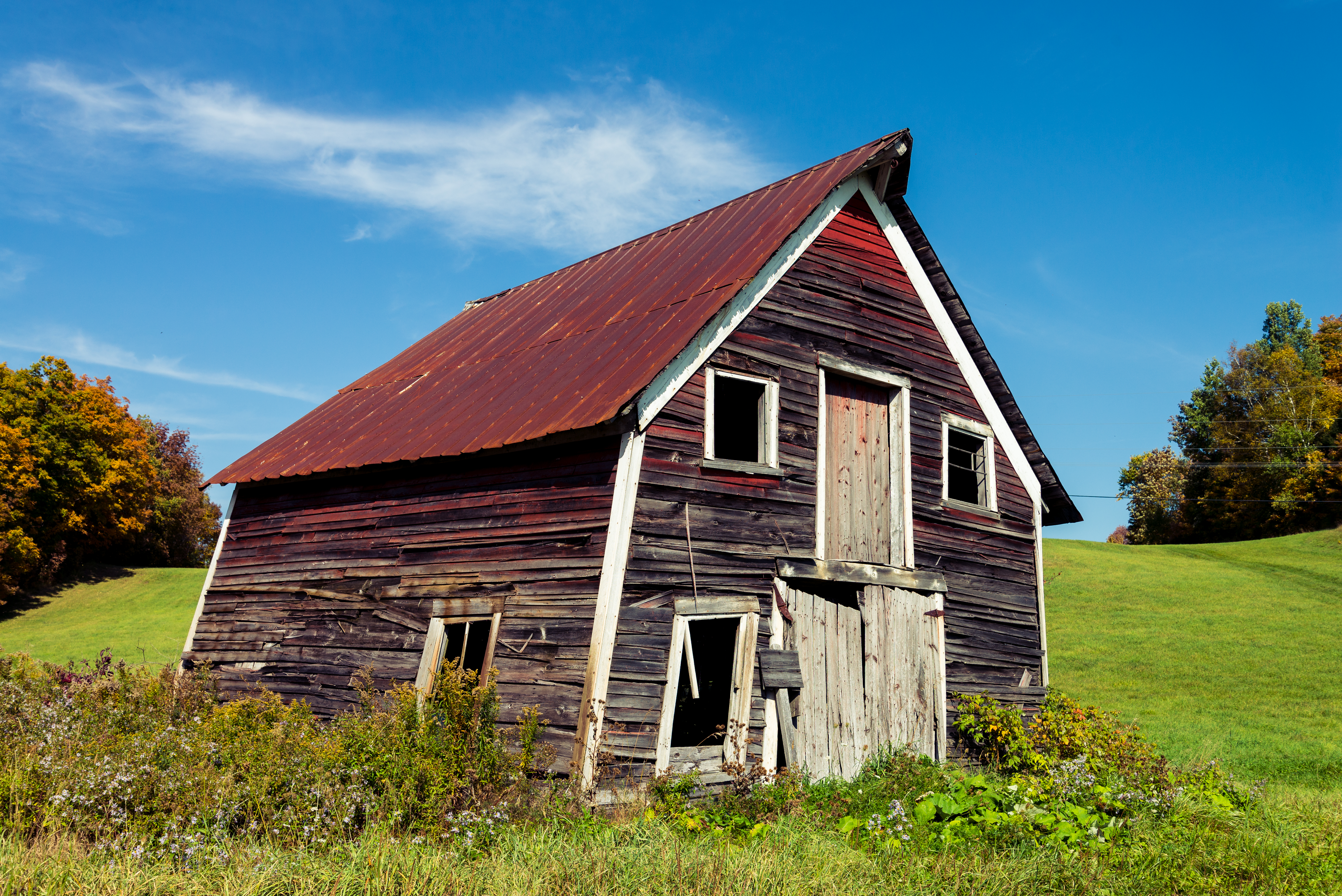
Abandoned Barn

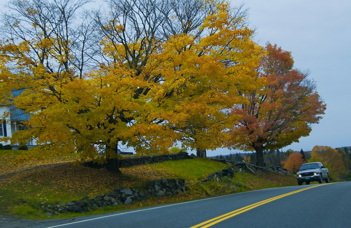
Autumn on the Center Road
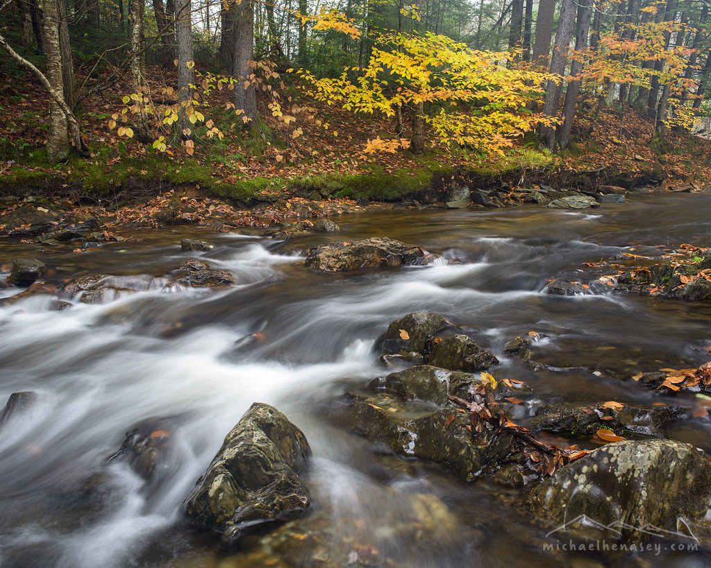
VT_Waterfalls-1351

VT_Waterfalls-1358

Field of Gold
More of June 2013

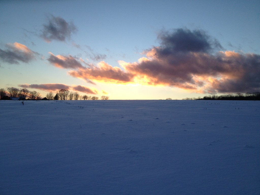
Elmore Sunset 1
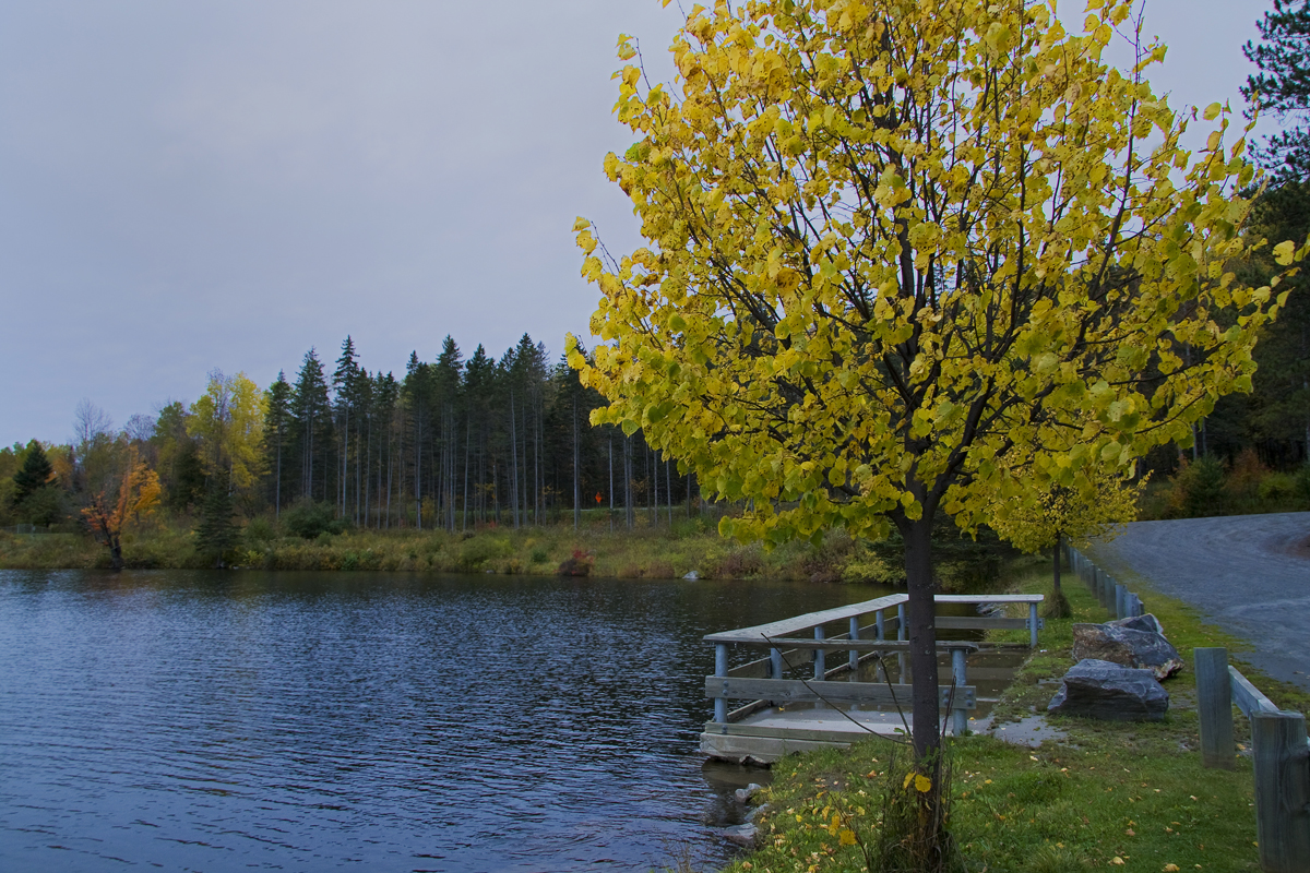
Golden leaves by the water
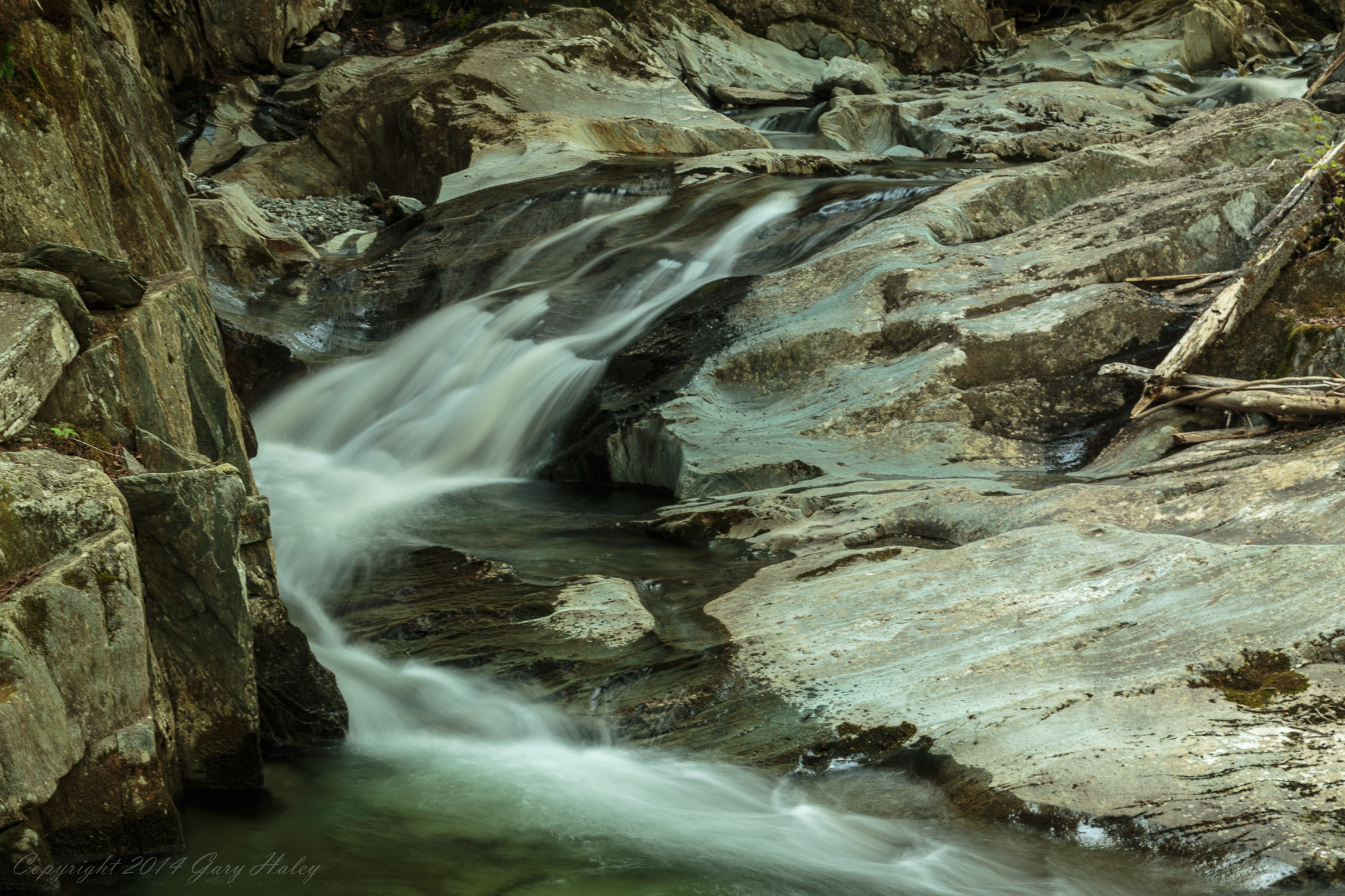
VT_Waterfalls-1348
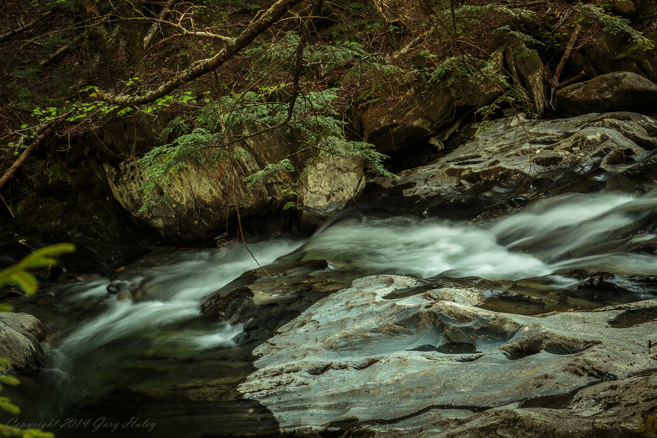
VT_Waterfalls-1359
New Year's Snowshoe
IMGP1854 2009 july
Topographic Map of Woodbury, VT, USA
Find elevation by address:

Places in Woodbury, VT, USA:
Places near Woodbury, VT, USA:
138 Old Quarry Rd
2034 Foster Hill Rd
4711 County Rd
6383 Vt-14
Woodbury Golf Course
3318 Cabot Rd
2204 E Hill Rd
6521 Hollister Hill Rd
234 Sawmill Rd
234 Shovel Head Rd
Vermont Flower Farm
Marshfield
Cabot
1636 S Walden Rd
131 Cross Rd
889 Thistle Hill Rd
330 Bayley Hazen Rd
Backroads Farm Llc
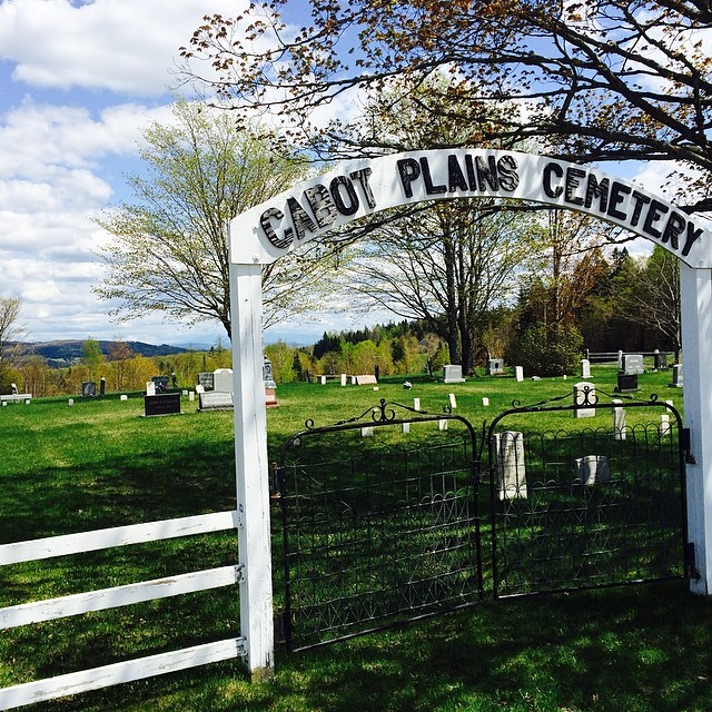
Cabot Plains Cemetery
Cabot, VT, USA
Recent Searches:
- Elevation of Corso Fratelli Cairoli, 35, Macerata MC, Italy
- Elevation of Tallevast Rd, Sarasota, FL, USA
- Elevation of 4th St E, Sonoma, CA, USA
- Elevation of Black Hollow Rd, Pennsdale, PA, USA
- Elevation of Oakland Ave, Williamsport, PA, USA
- Elevation of Pedrógão Grande, Portugal
- Elevation of Klee Dr, Martinsburg, WV, USA
- Elevation of Via Roma, Pieranica CR, Italy
- Elevation of Tavkvetili Mountain, Georgia
- Elevation of Hartfords Bluff Cir, Mt Pleasant, SC, USA