Elevation of Greenwood Lake, Woodbury, VT, USA
Location: United States > Vermont > Washington County > Woodbury >
Longitude: -72.425271
Latitude: 44.461704
Elevation: 364m / 1194feet
Barometric Pressure: 97KPa
Elevation Map:
Satellite Map:
Related Photos:
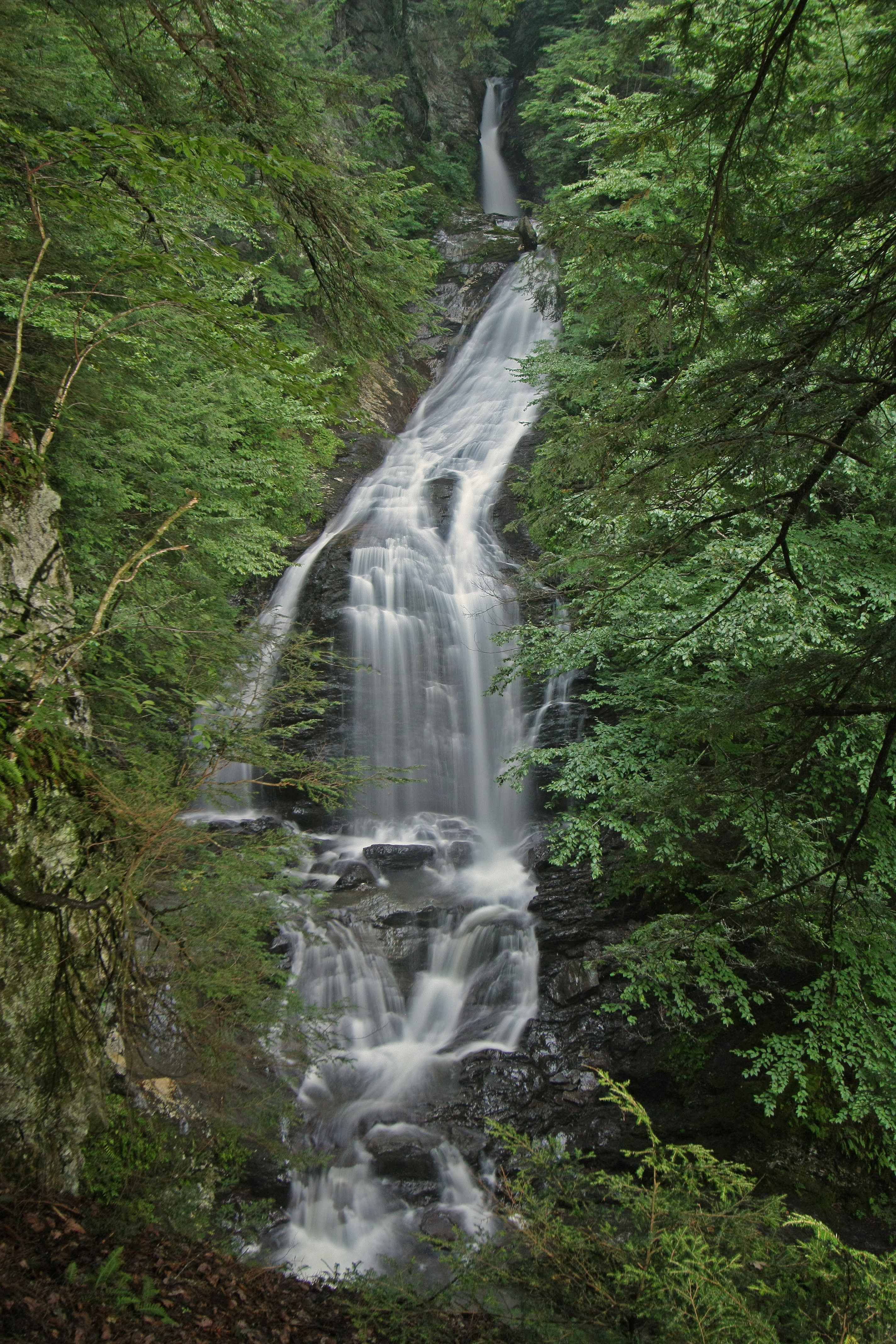
Moss Glen Falls, Moss Glen Brook, C.C. Putnam State Forest, Burt Hollow Unit, Moss Glen Falls Natural Area, Lamoille County, Vermont 1

Moss Glen Falls in Stowe

Worcester Waterfall

Calais view

Moss Glen Falls (Stowe)

Moss Glen Falls
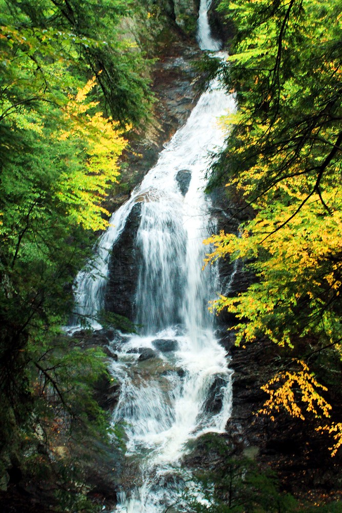
Moss Glen Falls (near Stowe, VT)

Moss Glen Falls - Stowe Vermont
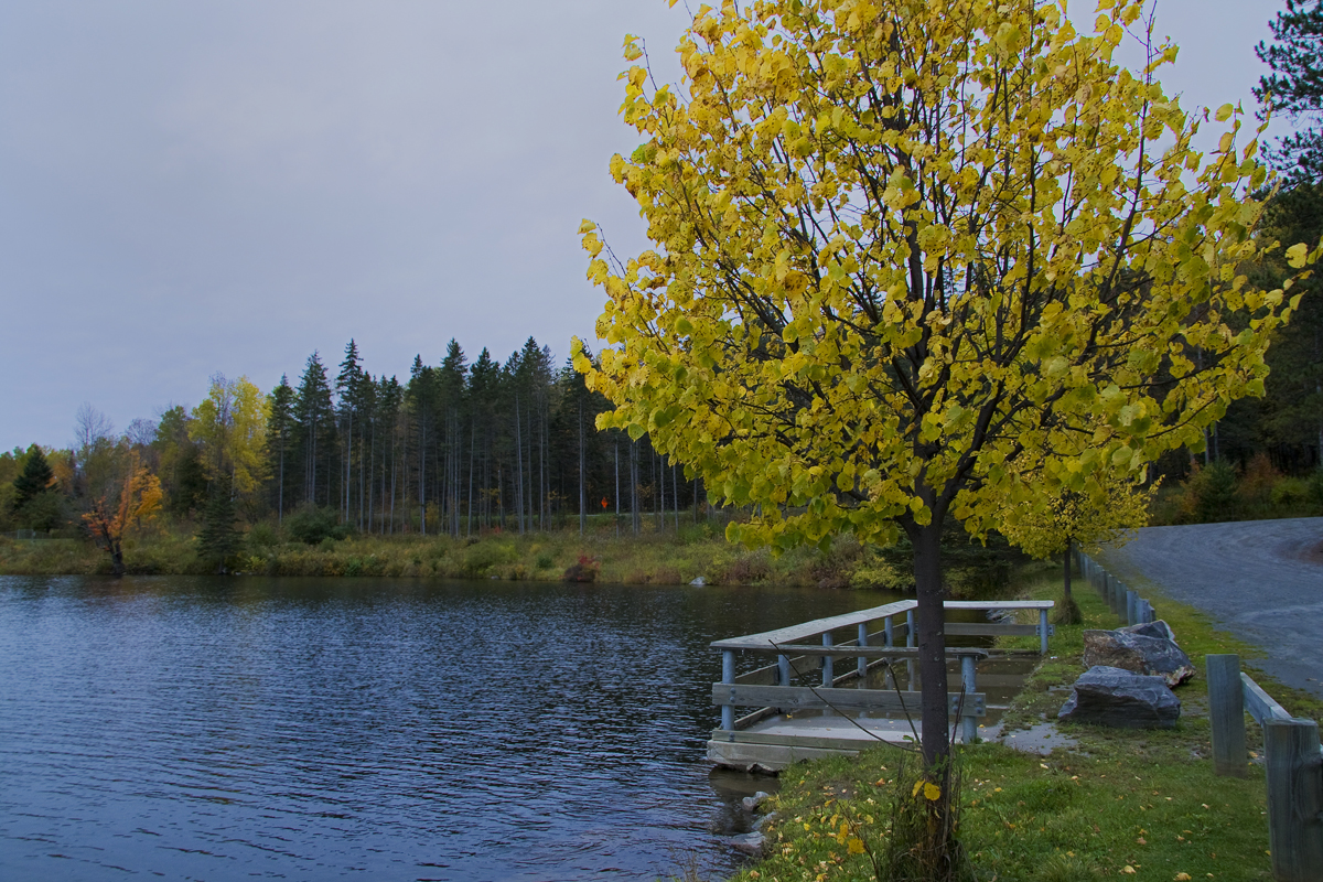
Mollys Fall Pond 2

Another view of Moss Glen Falls

Mollys Fall Pond 3

Mollys Fall Pond 1
Topographic Map of Greenwood Lake, Woodbury, VT, USA
Find elevation by address:

Places near Greenwood Lake, Woodbury, VT, USA:
48 S Hovey Rd
1966 Valley Lake Rd
102 Tebbetts Rd
524 Dog Pond Rd
125 Cranberry Meadow Rd
665 King Pond Rd
193 Wilbur Rd
Scribner Road
985 Foster Hill Rd
92 Nelson Pond Rd
2459 W County Rd
1736 Moscow Woods Rd
East Calais
Calais
1675 Singleton Rd
101 Harris Hill Rd
Maple Corner
1525 Singleton Rd
Maple Corner Store
Worcester Road
Recent Searches:
- Elevation of Corso Fratelli Cairoli, 35, Macerata MC, Italy
- Elevation of Tallevast Rd, Sarasota, FL, USA
- Elevation of 4th St E, Sonoma, CA, USA
- Elevation of Black Hollow Rd, Pennsdale, PA, USA
- Elevation of Oakland Ave, Williamsport, PA, USA
- Elevation of Pedrógão Grande, Portugal
- Elevation of Klee Dr, Martinsburg, WV, USA
- Elevation of Via Roma, Pieranica CR, Italy
- Elevation of Tavkvetili Mountain, Georgia
- Elevation of Hartfords Bluff Cir, Mt Pleasant, SC, USA