Elevation of Withla, FL, USA
Location: United States > Florida > Polk County >
Longitude: -81.870911
Latitude: 28.3400078
Elevation: 32m / 105feet
Barometric Pressure: 101KPa
Elevation Map:
Satellite Map:
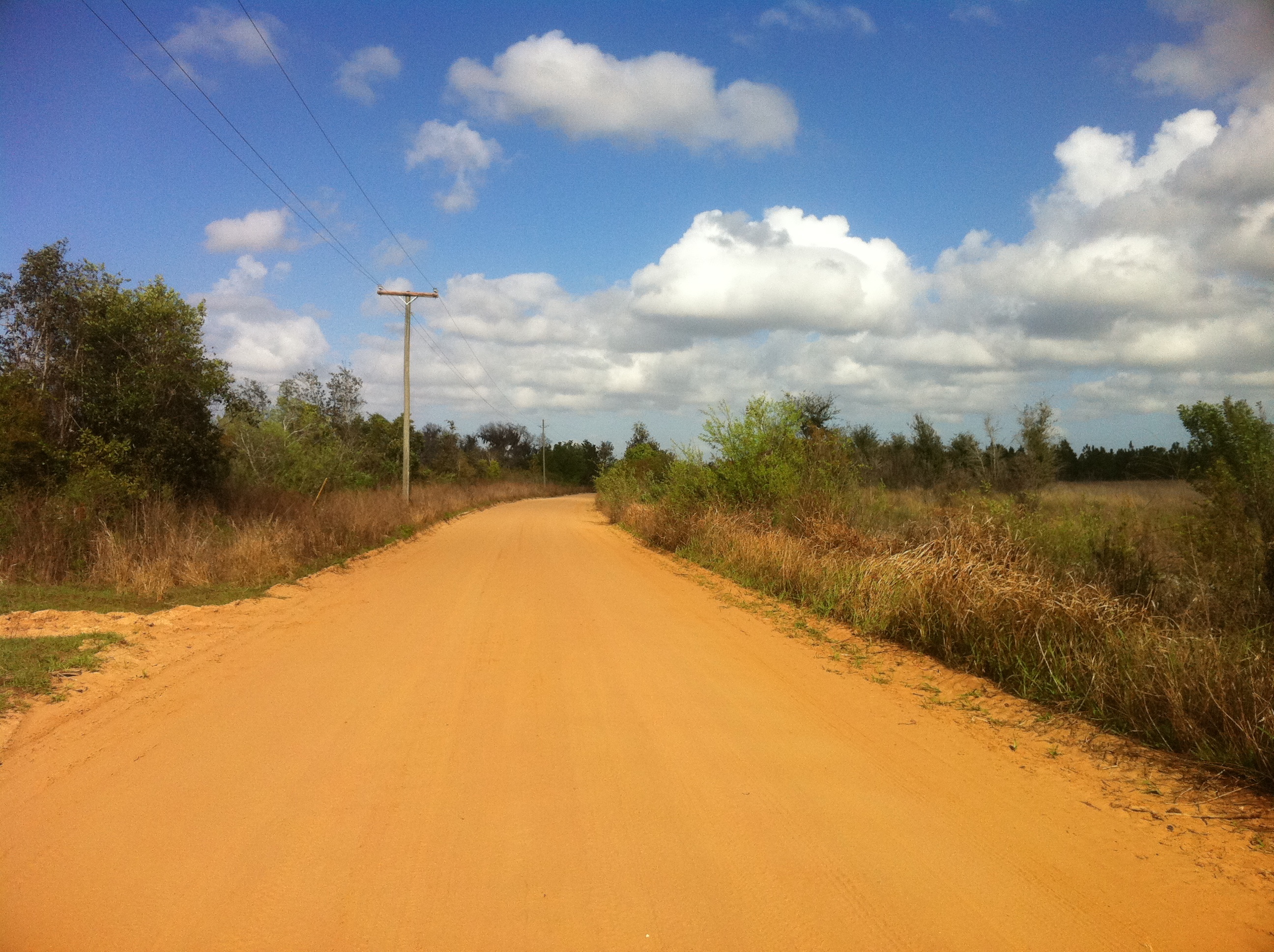
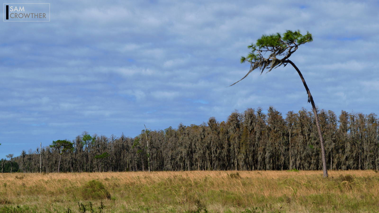
Related Photos:

Flying Home over Florida

General James Van Fleet State Trail

Backwoods Challenge - Mud Run

031/365 highabovetheclouds

08:366 Seminole-Lake Glideport
Green Swamp

Pedal, no steering

Trees Under Florida Sky
The Breeze

#WDW2017
Topographic Map of Withla, FL, USA
Find elevation by address:

Places in Withla, FL, USA:
Places near Withla, FL, USA:
San Juan Avenue
18135 Commonwealth Ave N
Myrtle Rd, Polk City, FL, USA
Commonwealth Ave N, Polk City, FL, USA
Rockridge Rd, Polk City, FL, USA
6514 Oil Well Rd
Rattlesnake Ridge
Oil Well Road
1240 Fl-33
3241 Havana Rd
6440 Berry Groves Rd
5505 County Rd 561 Fl 3471
8025 Ott Williams Rd
Ott Williams Road
Chelsea Lane
8821 Ott Williams Rd
9008 Laws Rd
9012 Laws Rd
6602 Lake Erie Rd
8947 Laws Rd
Recent Searches:
- Elevation of Corso Fratelli Cairoli, 35, Macerata MC, Italy
- Elevation of Tallevast Rd, Sarasota, FL, USA
- Elevation of 4th St E, Sonoma, CA, USA
- Elevation of Black Hollow Rd, Pennsdale, PA, USA
- Elevation of Oakland Ave, Williamsport, PA, USA
- Elevation of Pedrógão Grande, Portugal
- Elevation of Klee Dr, Martinsburg, WV, USA
- Elevation of Via Roma, Pieranica CR, Italy
- Elevation of Tavkvetili Mountain, Georgia
- Elevation of Hartfords Bluff Cir, Mt Pleasant, SC, USA