Elevation of Winlock Rd, Torrance, CA, USA
Location: United States > California > Los Angeles County > Torrance > Walteria >
Longitude: -118.34583
Latitude: 33.7962257
Elevation: 54m / 177feet
Barometric Pressure: 101KPa
Elevation Map:
Satellite Map:
Related Photos:

Not So Still Life

Shoreline Aquatic Park

Just Another Bridge at Sunrise

Sept. Sunset with incoming fog

Sanderlings on the Beach

View From My Balcony

"A Walk in the Clouds"

ocean view window

California surfing

"Encounter"

Golden Harbor Morning

Week 32

Soft Summer Sunsets (explored 08/13/22 at 285)

Golden California Decembers (explored 12/23/22 at 152)

Light's Out (explored 02/28/22 at 279)

At Angel's Gate Park

Blue Moon Over a Pink Cloud

Natural Frames (Are Everywhere)(explored 11/03/21 at 118)
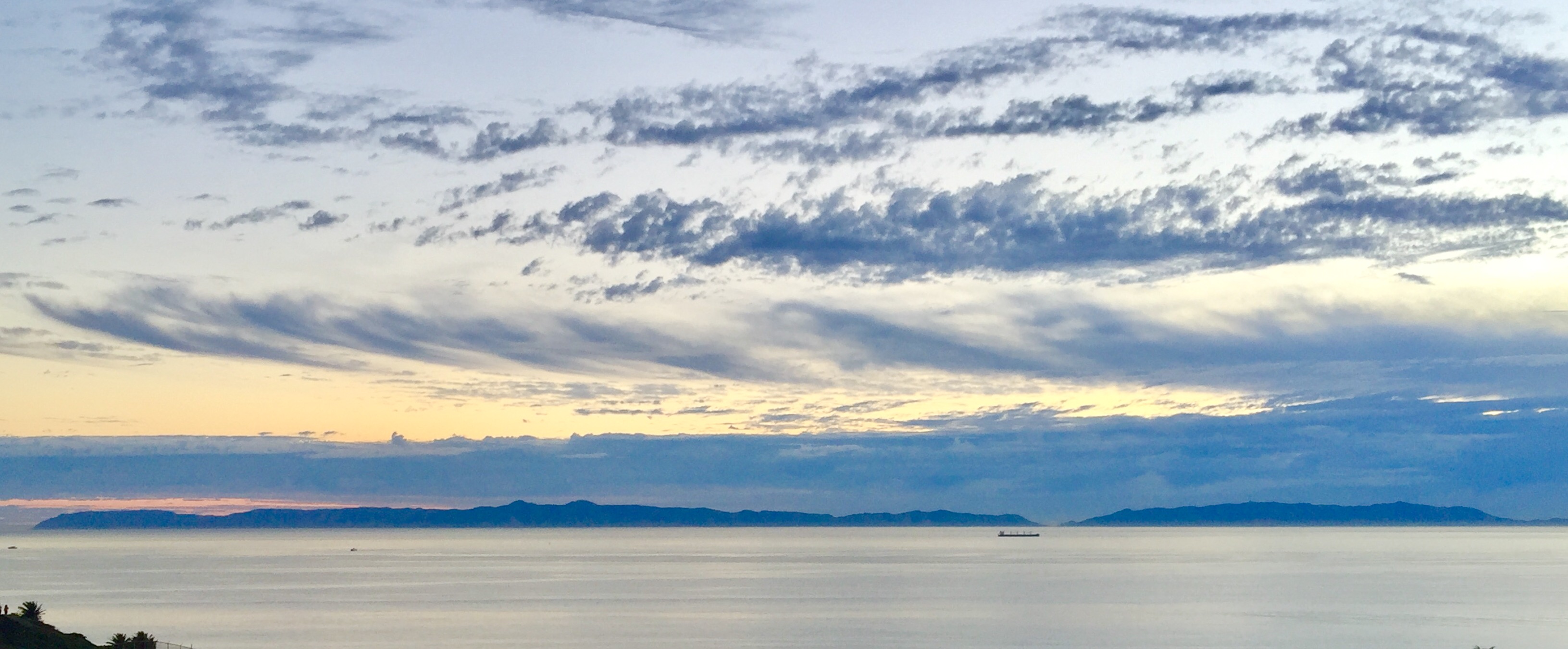
A view of Santa Catalina Island at Sunset.

Pier View 2016 02 05 15

Yellow Spitfire at Pt Fermin Park in San Pedro
Topographic Map of Winlock Rd, Torrance, CA, USA
Find elevation by address:

Places near Winlock Rd, Torrance, CA, USA:
Walteria
Pacific Coast Hwy, Torrance, CA, USA
23930 Los Codona Ave
3929 W 242nd St
23906 Ocean Ave
23838 Los Codona Ave
23833 Audrey Ave
23802 Ocean Ave
Torrance, CA, USA
4020 Vía Valmonte
23551 Adolph Ave
Valmonte
3700 Vía Palomino
Southwood Riviera
4831 Highgrove Ave
23751 Nancylee Ln
4801 Louise Ave
22914 Ladeene Ave
4820 Louise Ave
5020 Newton St
Recent Searches:
- Elevation of Corso Fratelli Cairoli, 35, Macerata MC, Italy
- Elevation of Tallevast Rd, Sarasota, FL, USA
- Elevation of 4th St E, Sonoma, CA, USA
- Elevation of Black Hollow Rd, Pennsdale, PA, USA
- Elevation of Oakland Ave, Williamsport, PA, USA
- Elevation of Pedrógão Grande, Portugal
- Elevation of Klee Dr, Martinsburg, WV, USA
- Elevation of Via Roma, Pieranica CR, Italy
- Elevation of Tavkvetili Mountain, Georgia
- Elevation of Hartfords Bluff Cir, Mt Pleasant, SC, USA