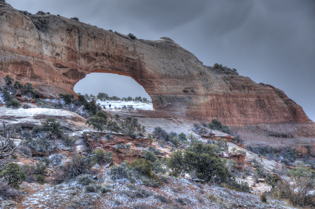
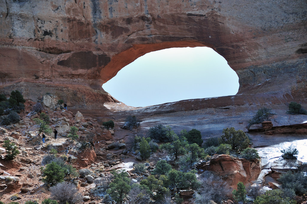
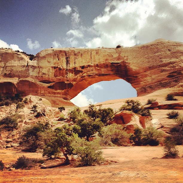
Elevation of Wilson Arch, U.S., Moab, UT, USA
Location: United States > Utah > San Juan County > Monticello >
Longitude: -109.37167
Latitude: 38.2725822
Elevation: 1875m / 6152feet
Barometric Pressure: 81KPa
Elevation Map:
Satellite Map:
Related Photos:
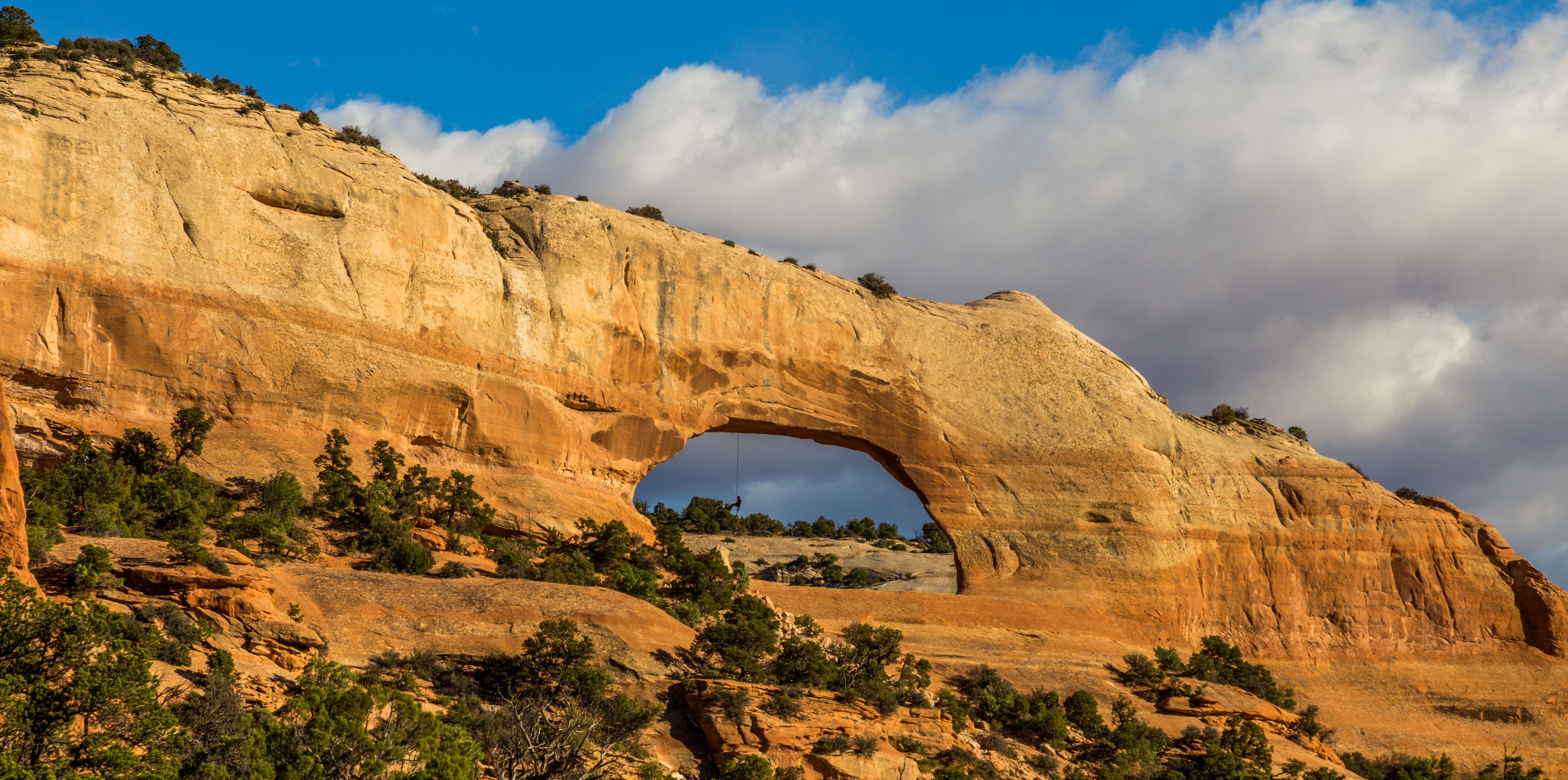
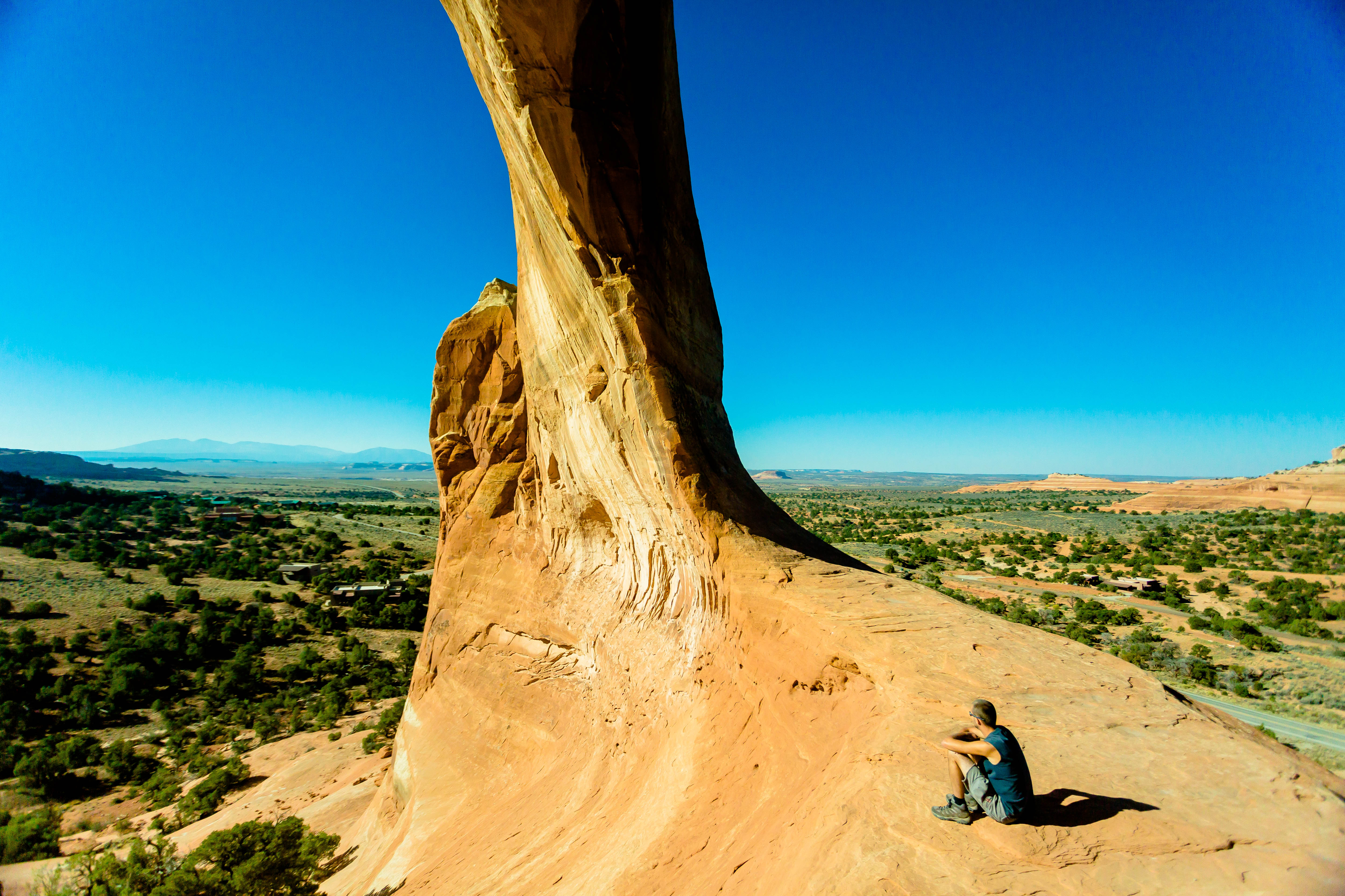
Hanging from the Arch
South of Moab
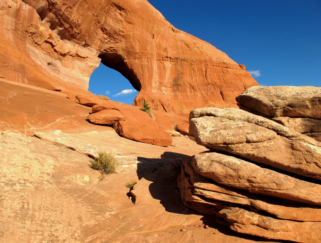
Sky Hole
MONTICELLO ~ UTAH
Southwest Road Trip 102
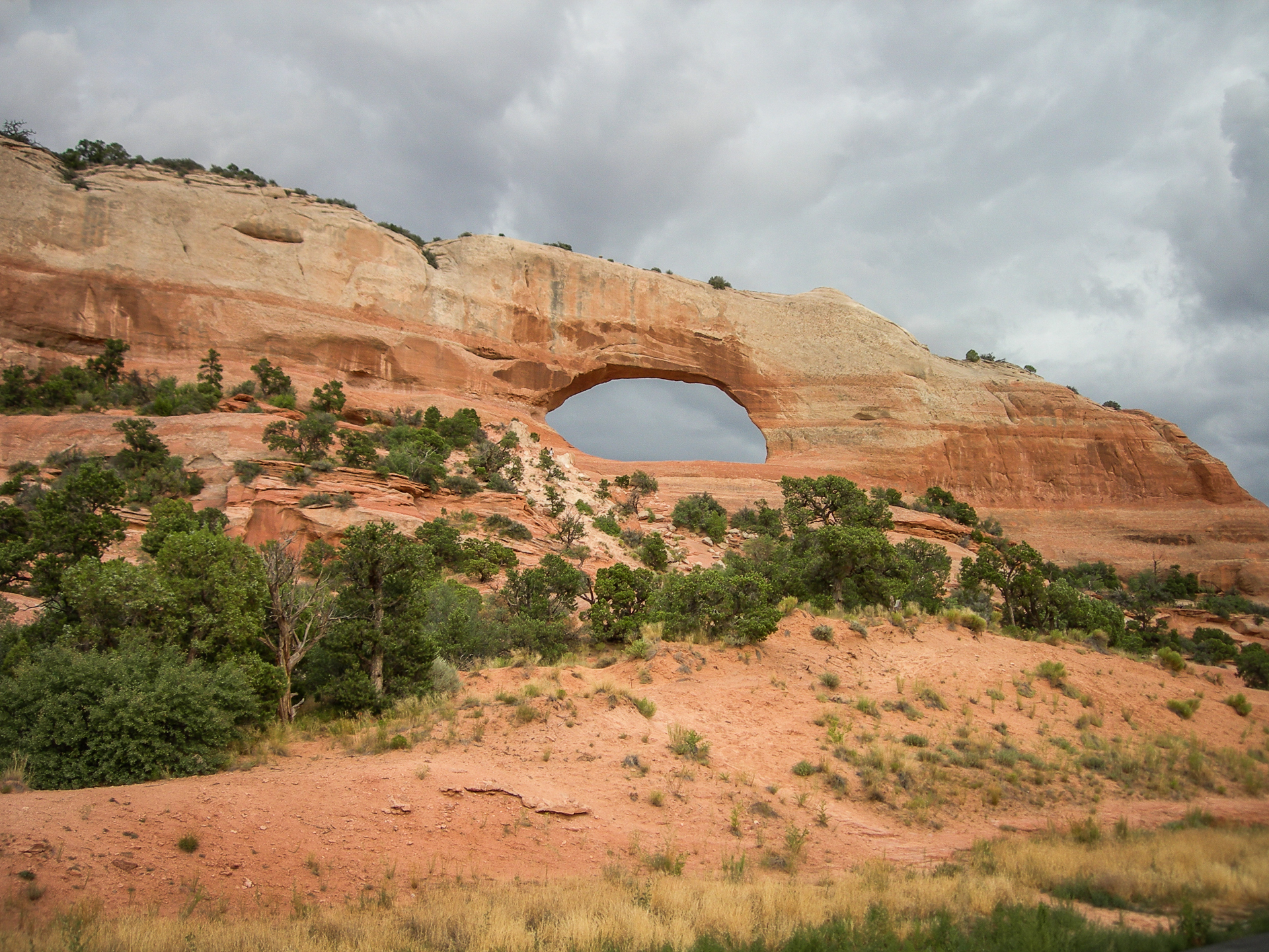
Arch on Hwy 191 Near La Sal, Utah
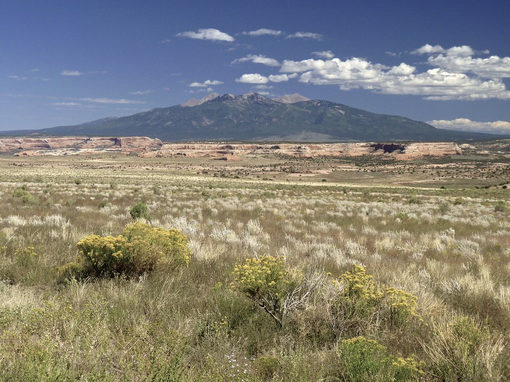
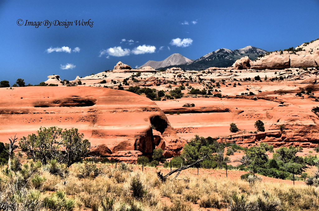
View of the La Sals
Arch on Hwy 191 Near La Sal, Utah

Hwy 191 Near La Sal, Utah
Grinch Face
South Of Moab
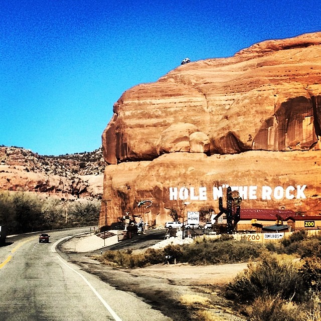
Tourist Trap - UTAH

Through the Looking Glass

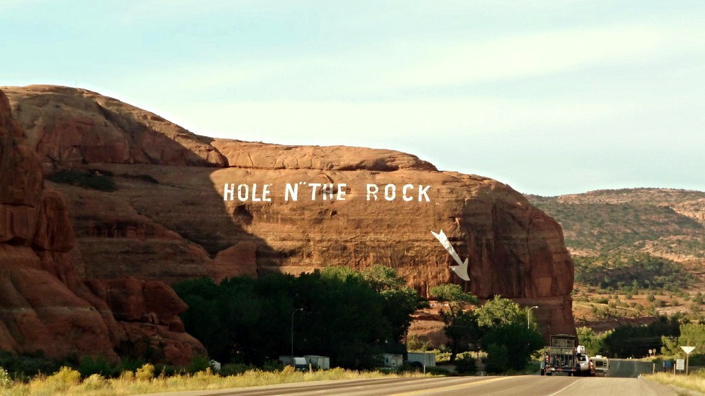
The Hole in the Rock

At large in the wilds of Utah
La Sal Mountains: Needles Overlook Road, UT

The Silver Spur Motel
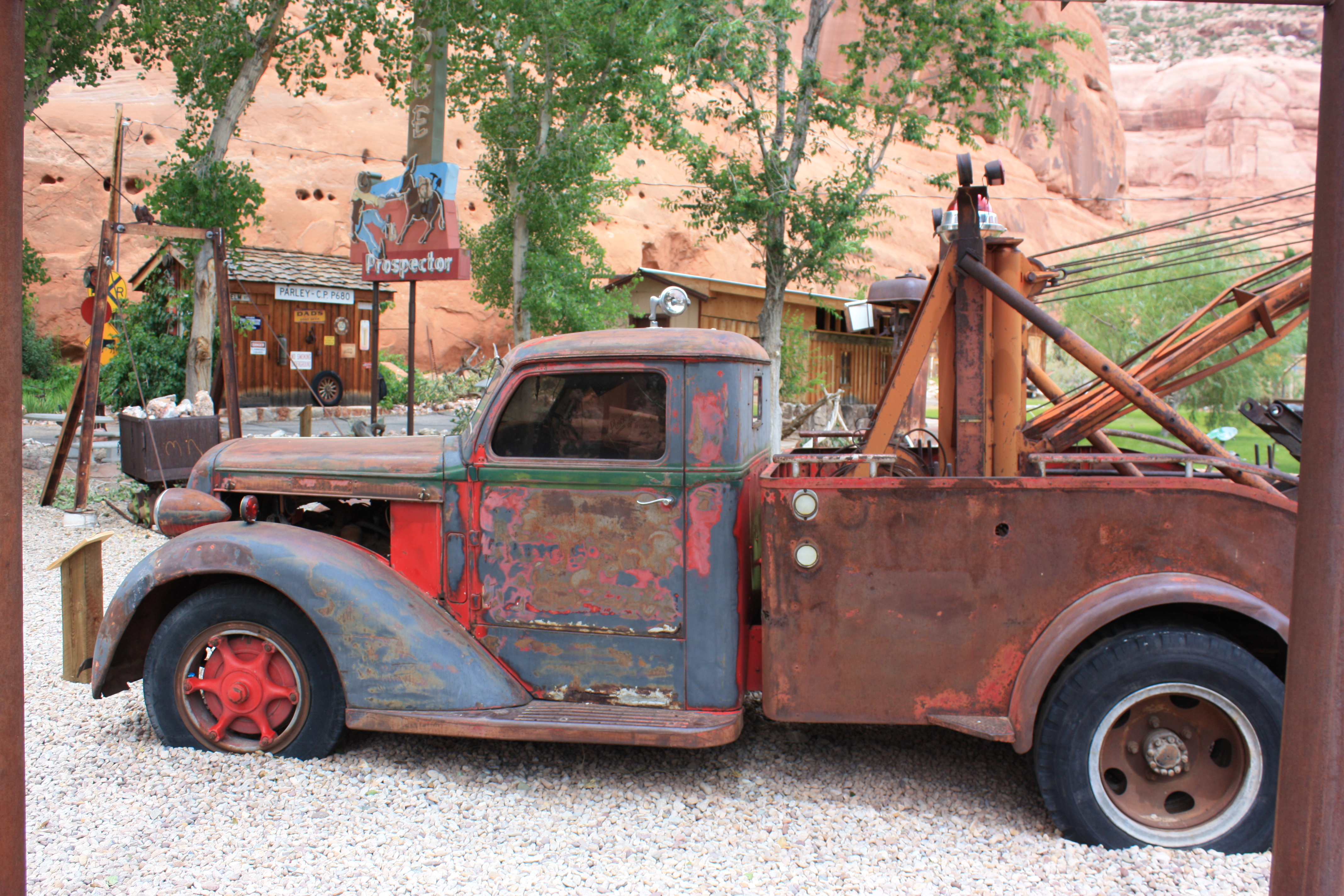
The 1935 Diamond T

Owners and Slaves
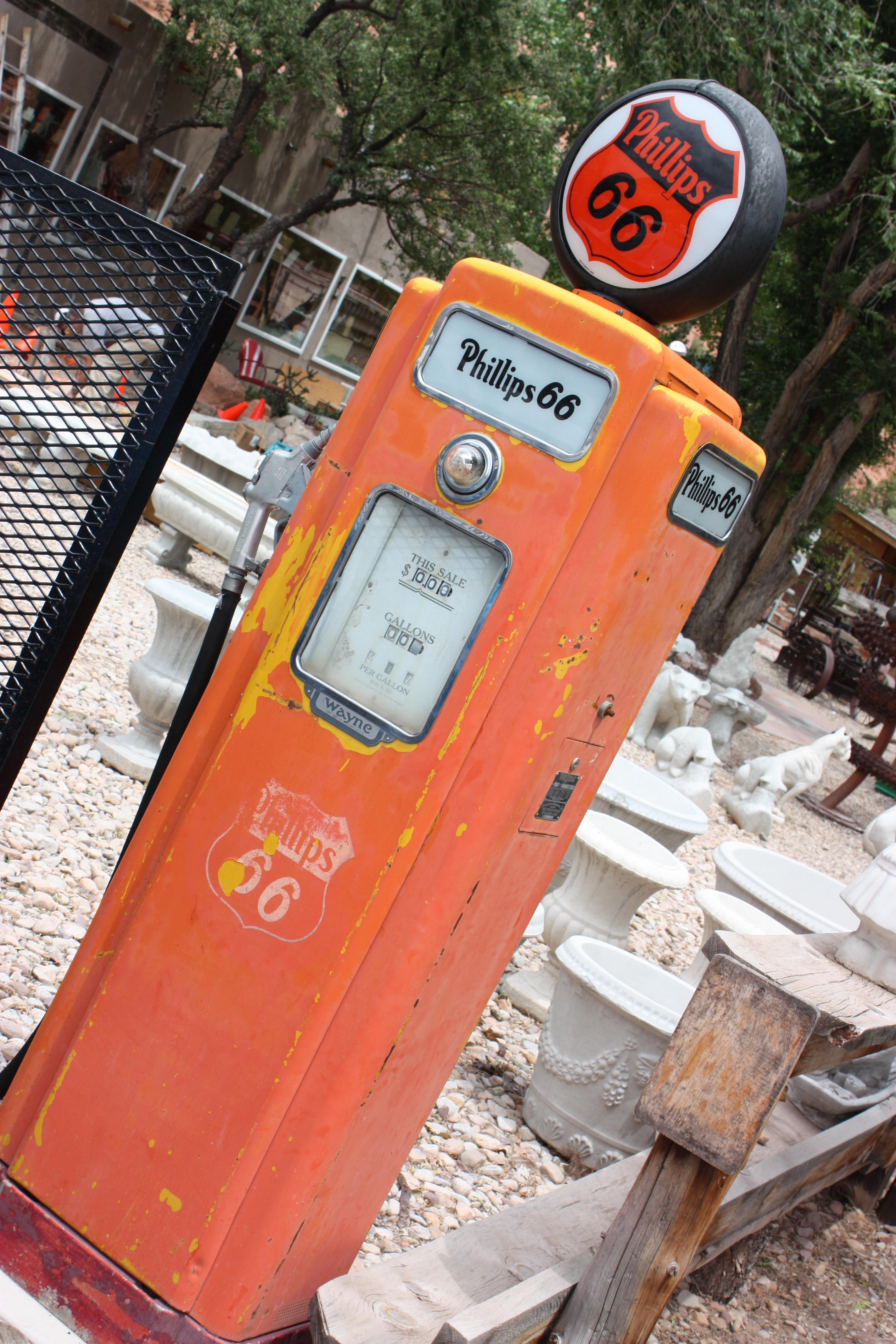
Ancient Gas Pump
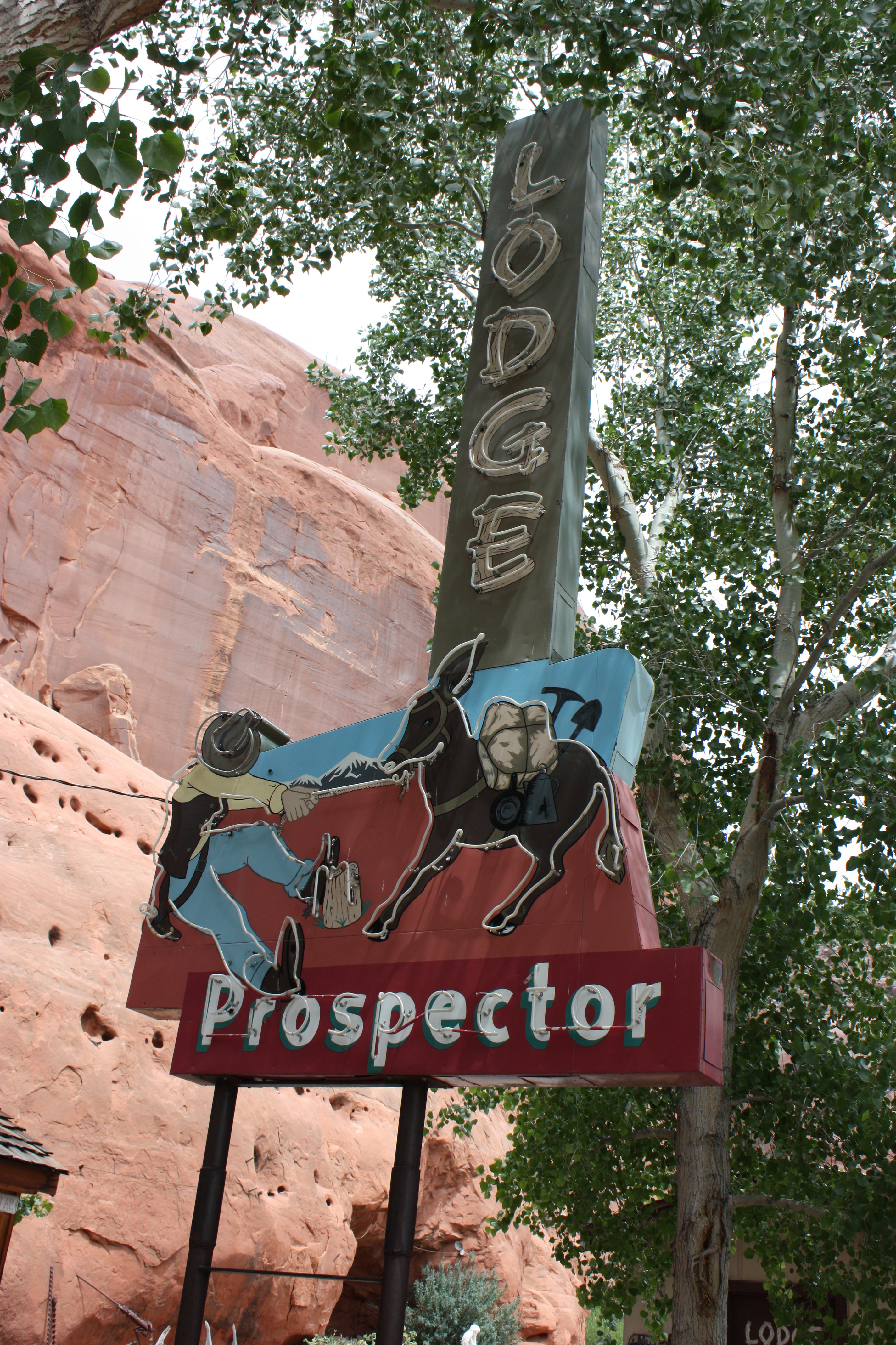
The Prospector Lodge

Wilson Arch

Stone Lined Road
Hipsta Roadside

Last arch
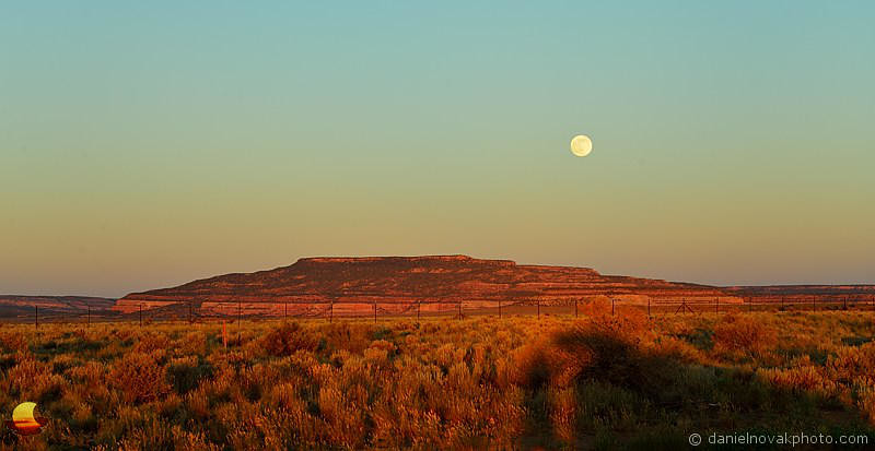
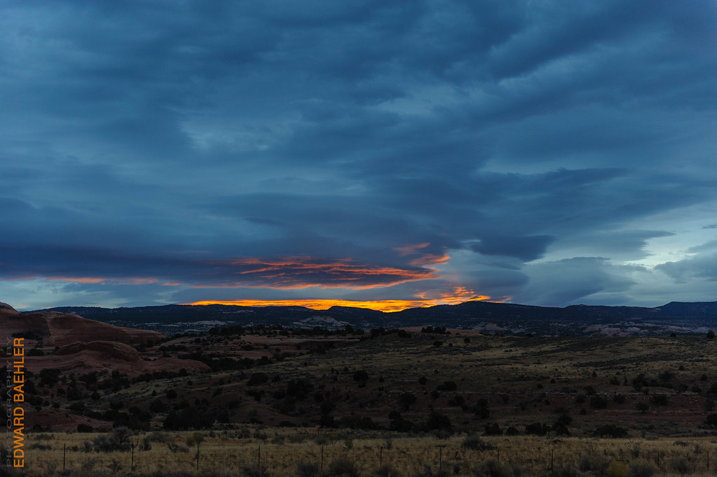
Moonrise over Somewhere by Monticello, Utah (DTA_6122)
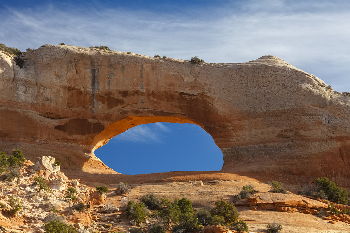
Wilson Arch along Highway 191
The Dust Explorer

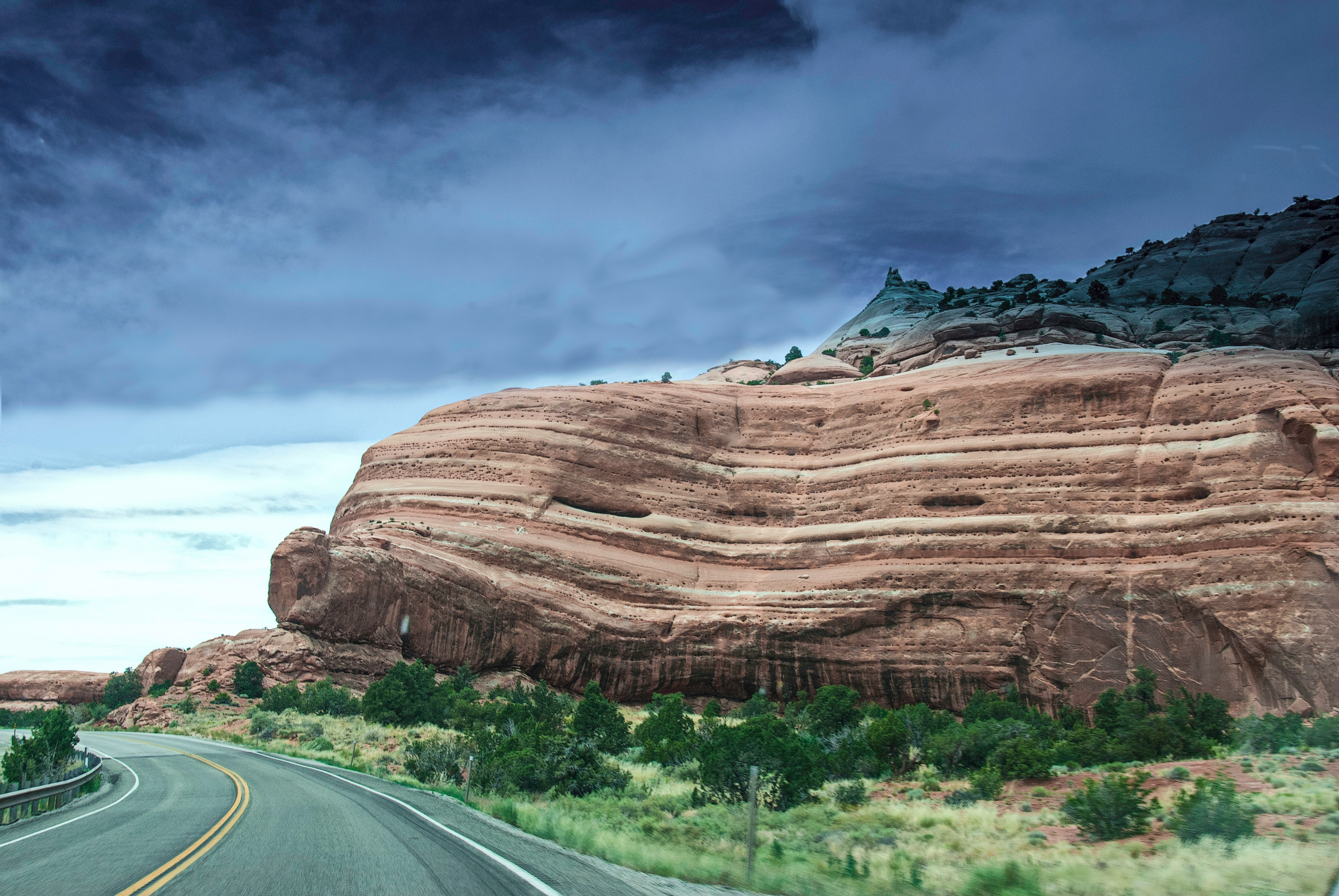
Canyonlands t-storm
14:00 #RoadTrip
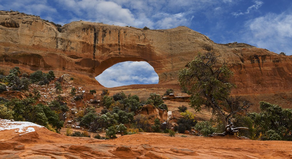
Wilson Arch, Utah.
Wilson Arch

#utah #wilsonarch
US 191 Highway

#utah
USA West

Wilson's Arch
Wilson Arch, Utah
Topographic Map of Wilson Arch, U.S., Moab, UT, USA
Find elevation by address:

Places near Wilson Arch, U.S., Moab, UT, USA:
La Sal
11037 Us-191
Hole N" The Rock
31 Abbey Rd
Old La Sal
32 Pheasant Ct
Spanish Valley
65 S Oak Ln
3688 Spanish Valley Dr
3688 Spanish Valley Dr
Wray Mesa Road
1998 S Navajo Heights
Kane Spring Road
Hurrah Pass
71 Castleton Rd, Moab, UT, USA
119 La Sal Rd
Bureau Of Land Management Moab Field Office
Arches Drive
Moab
17 Us-191
Recent Searches:
- Elevation of Corso Fratelli Cairoli, 35, Macerata MC, Italy
- Elevation of Tallevast Rd, Sarasota, FL, USA
- Elevation of 4th St E, Sonoma, CA, USA
- Elevation of Black Hollow Rd, Pennsdale, PA, USA
- Elevation of Oakland Ave, Williamsport, PA, USA
- Elevation of Pedrógão Grande, Portugal
- Elevation of Klee Dr, Martinsburg, WV, USA
- Elevation of Via Roma, Pieranica CR, Italy
- Elevation of Tavkvetili Mountain, Georgia
- Elevation of Hartfords Bluff Cir, Mt Pleasant, SC, USA