Elevation of 31 Abbey Rd, Moab, UT, USA
Location: United States > Utah > Moab >
Longitude: -109.36826
Latitude: 38.4404882
Elevation: 1822m / 5978feet
Barometric Pressure: 81KPa
Elevation Map:
Satellite Map:
Related Photos:
Mellenthin and Waas
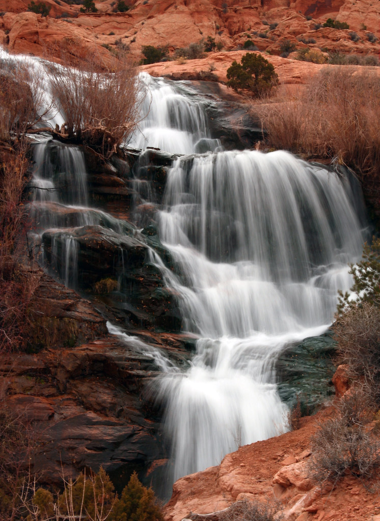
Upper Faux Falls
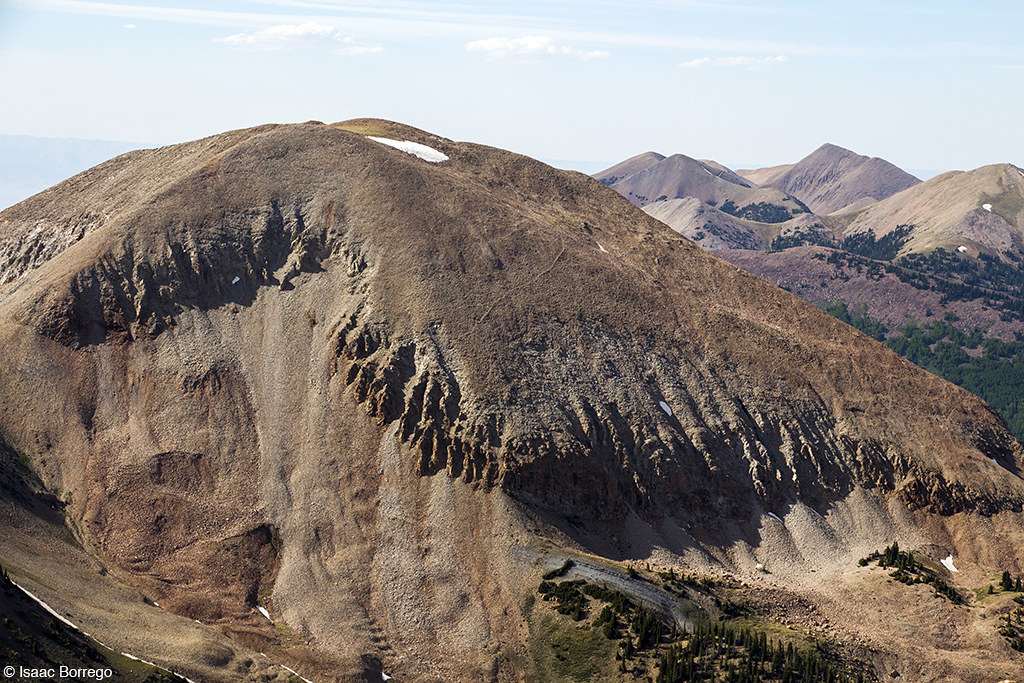
Gold Knob view
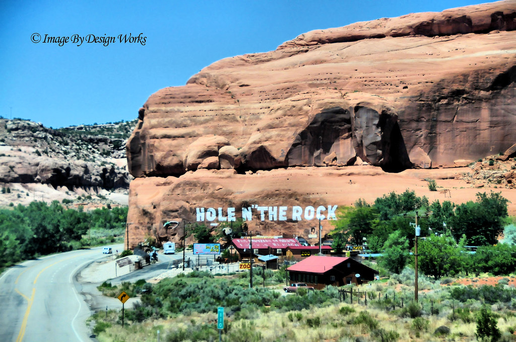
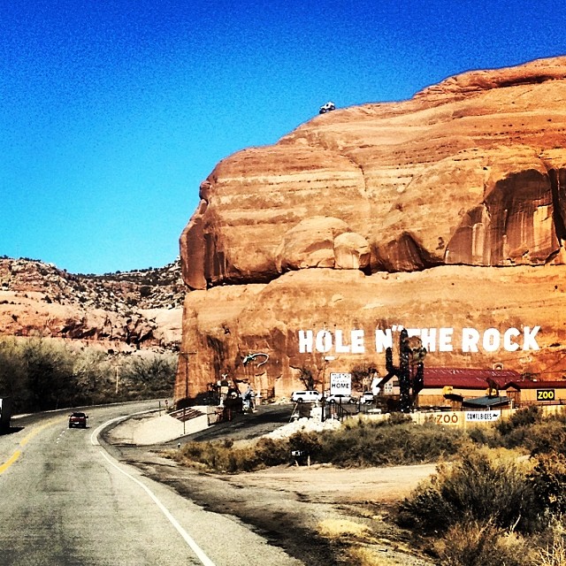
"HOLE N” THE ROCK" ~ UTAH
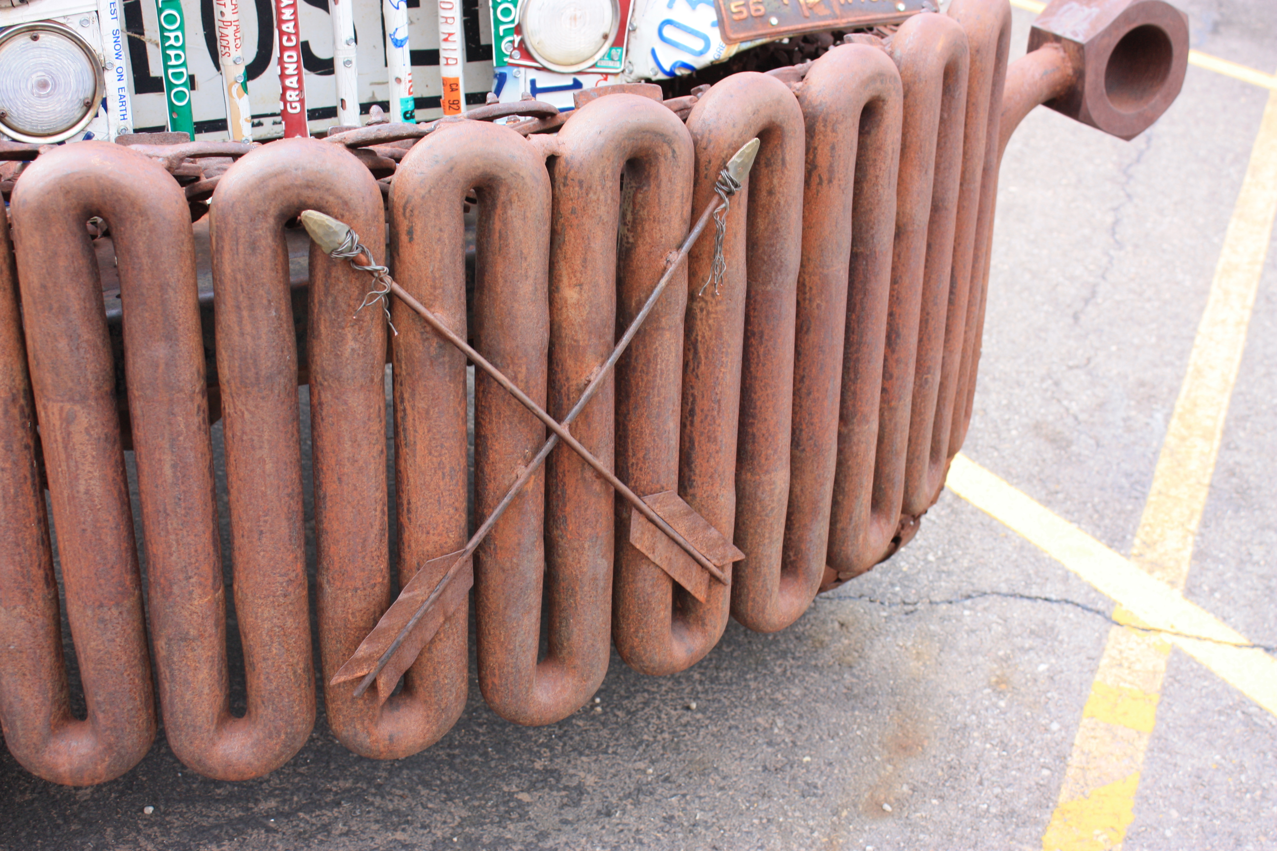
Patchwork Bumper
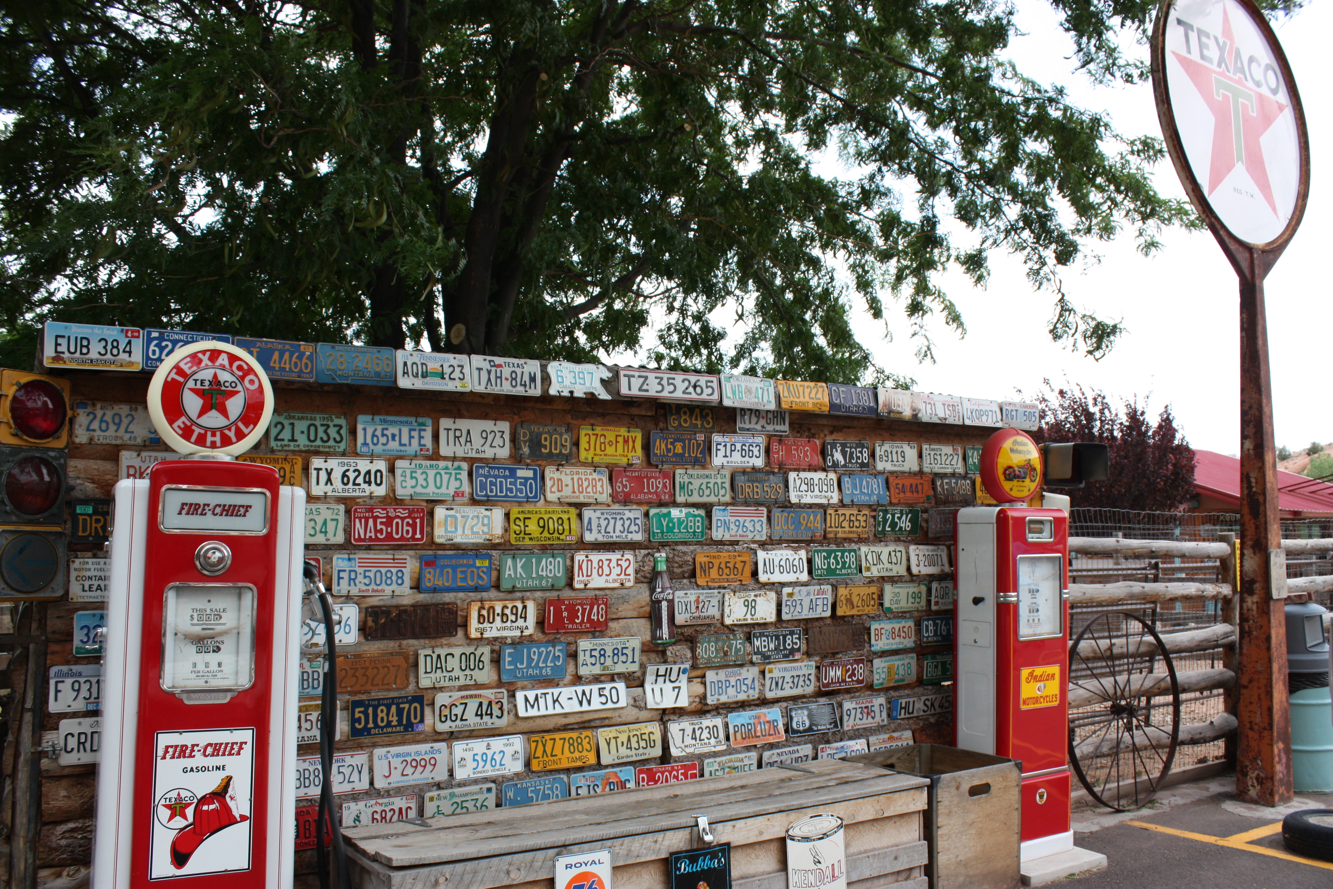
Wall of Plates

Jack and Jill
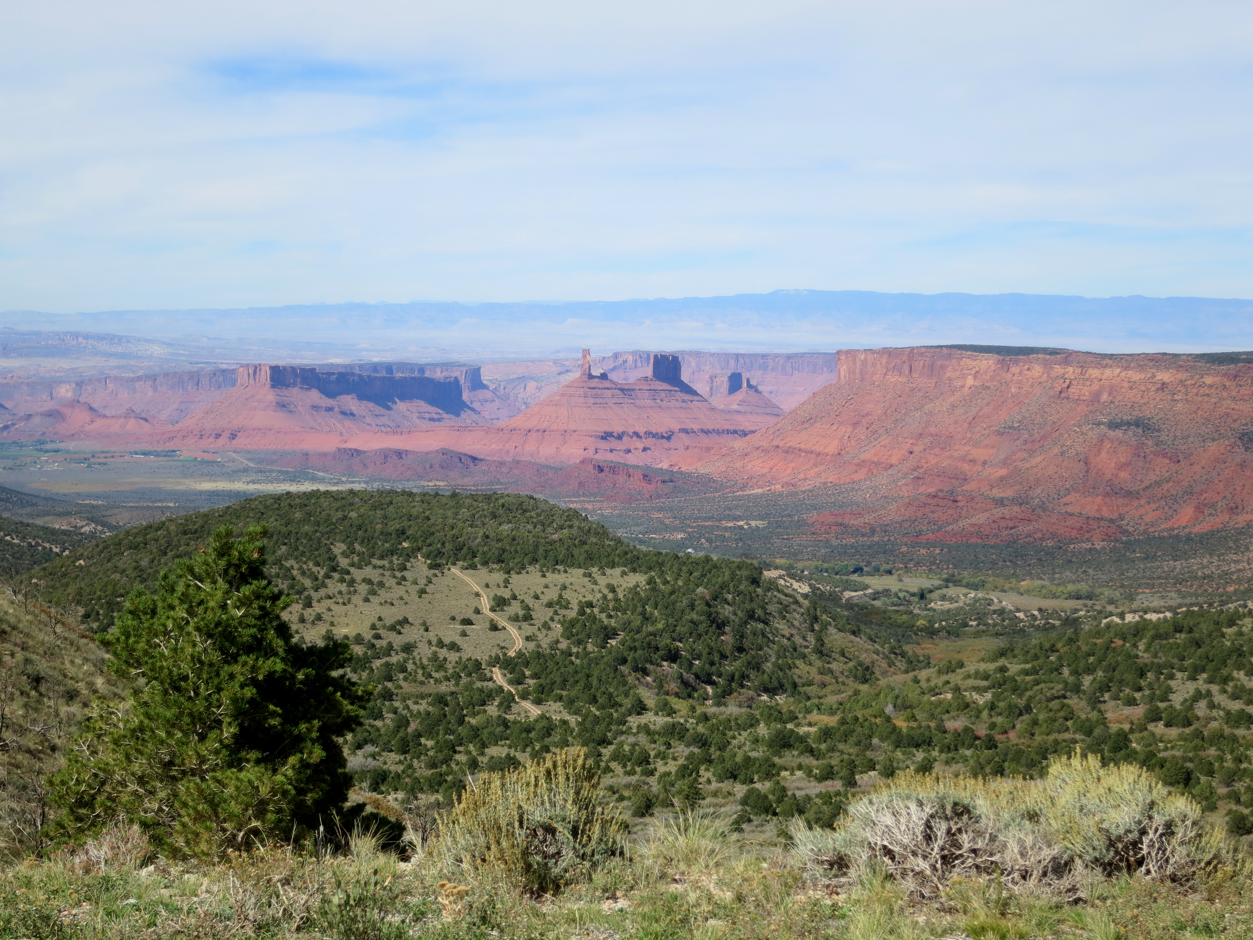
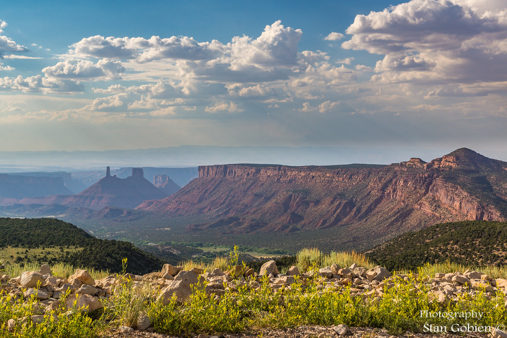
Castle Valley
Day 4: Another December Office View. Taken with the Sony a7ii. Posted-365.
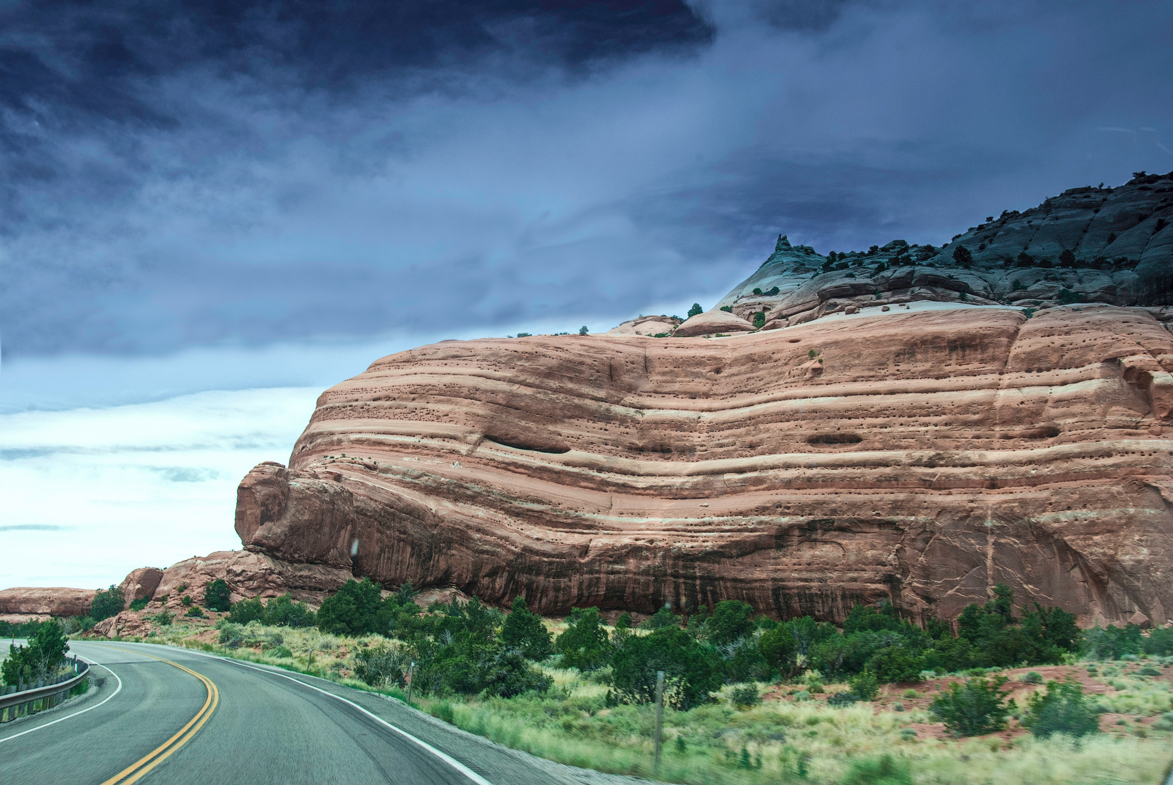
Enroute To Arches
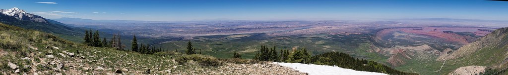
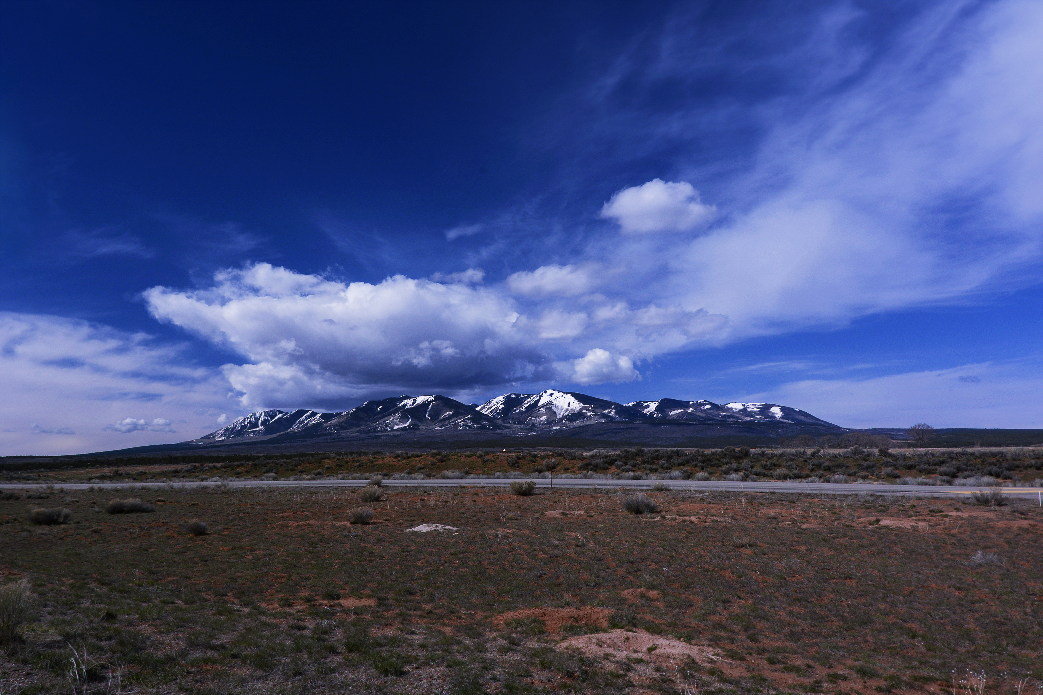
View of La Sal Pass

La Sal View
Ridge from Tuk
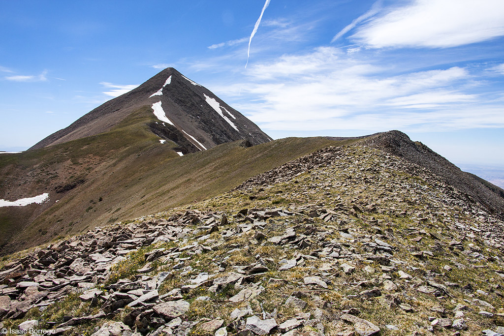
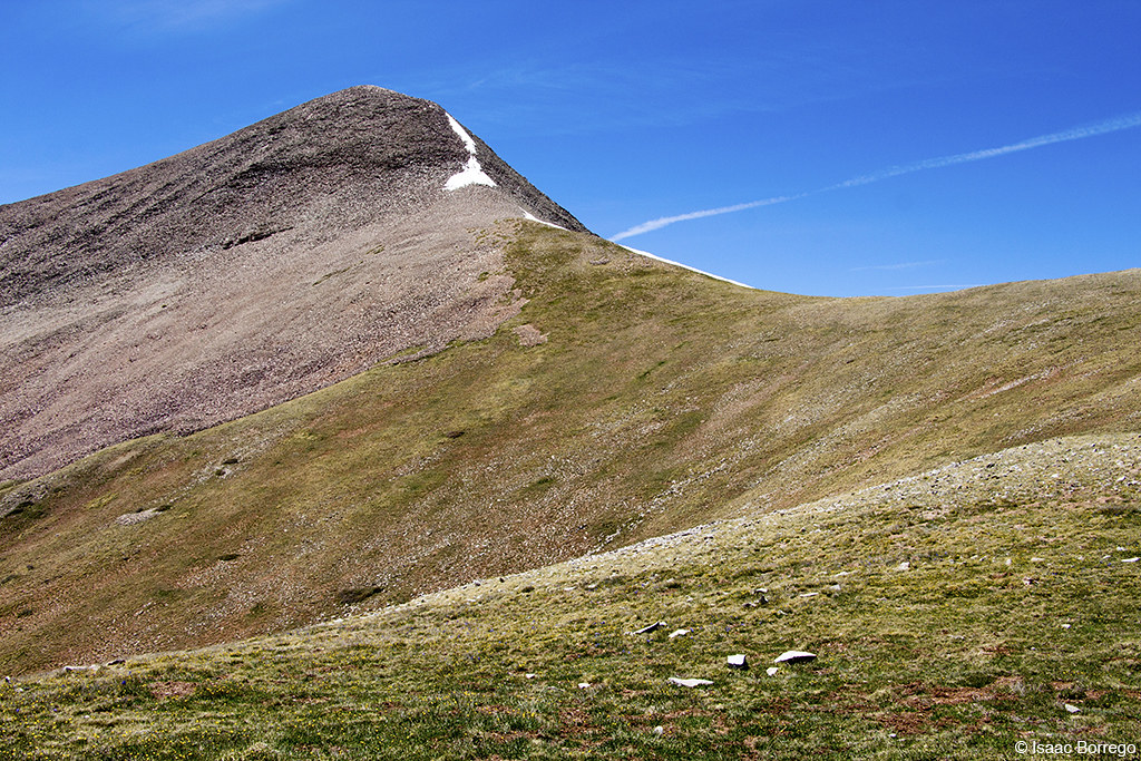
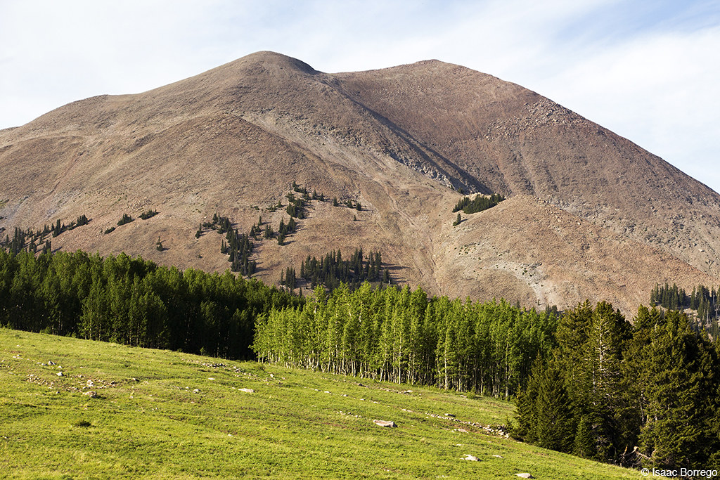
Descent from Mount Peale
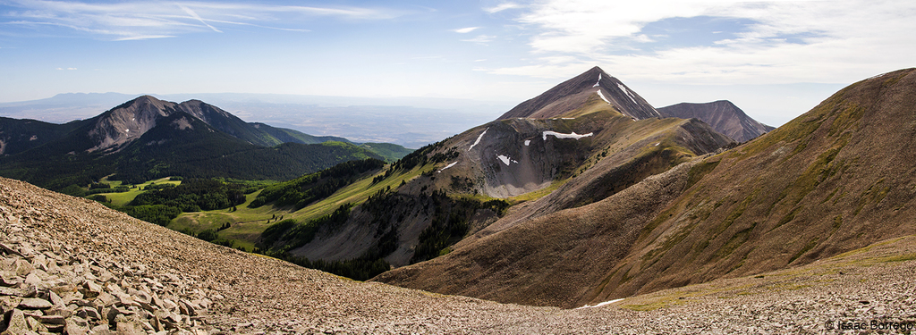
On the Way to Mount Peale
South of Moab
Approaching Mt. Tuk
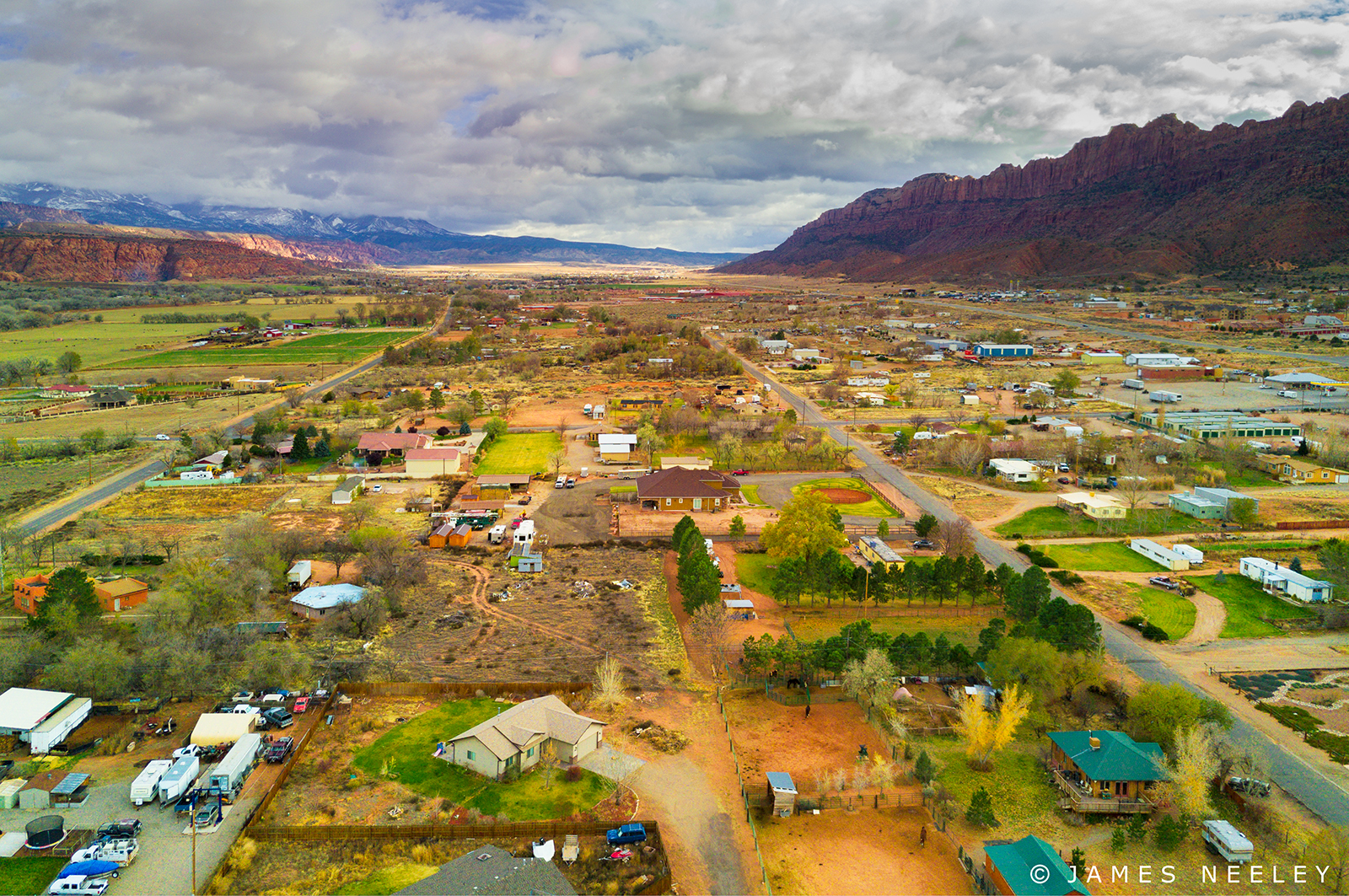
Spanish Valley
South Of Moab
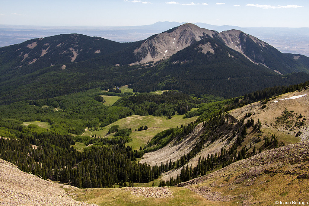
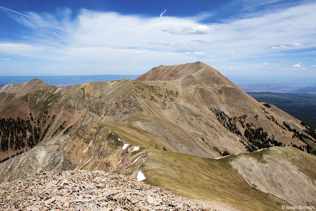
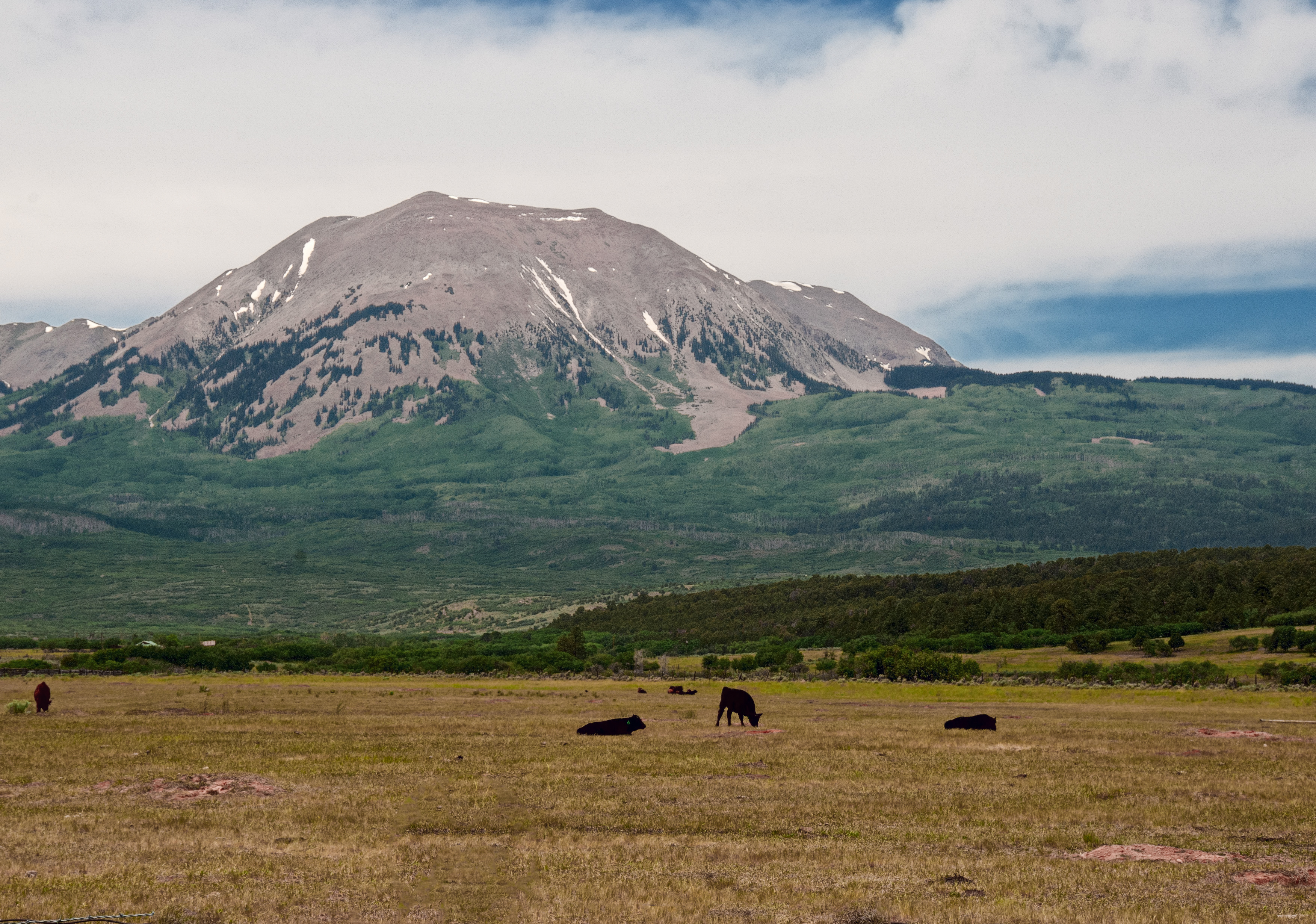
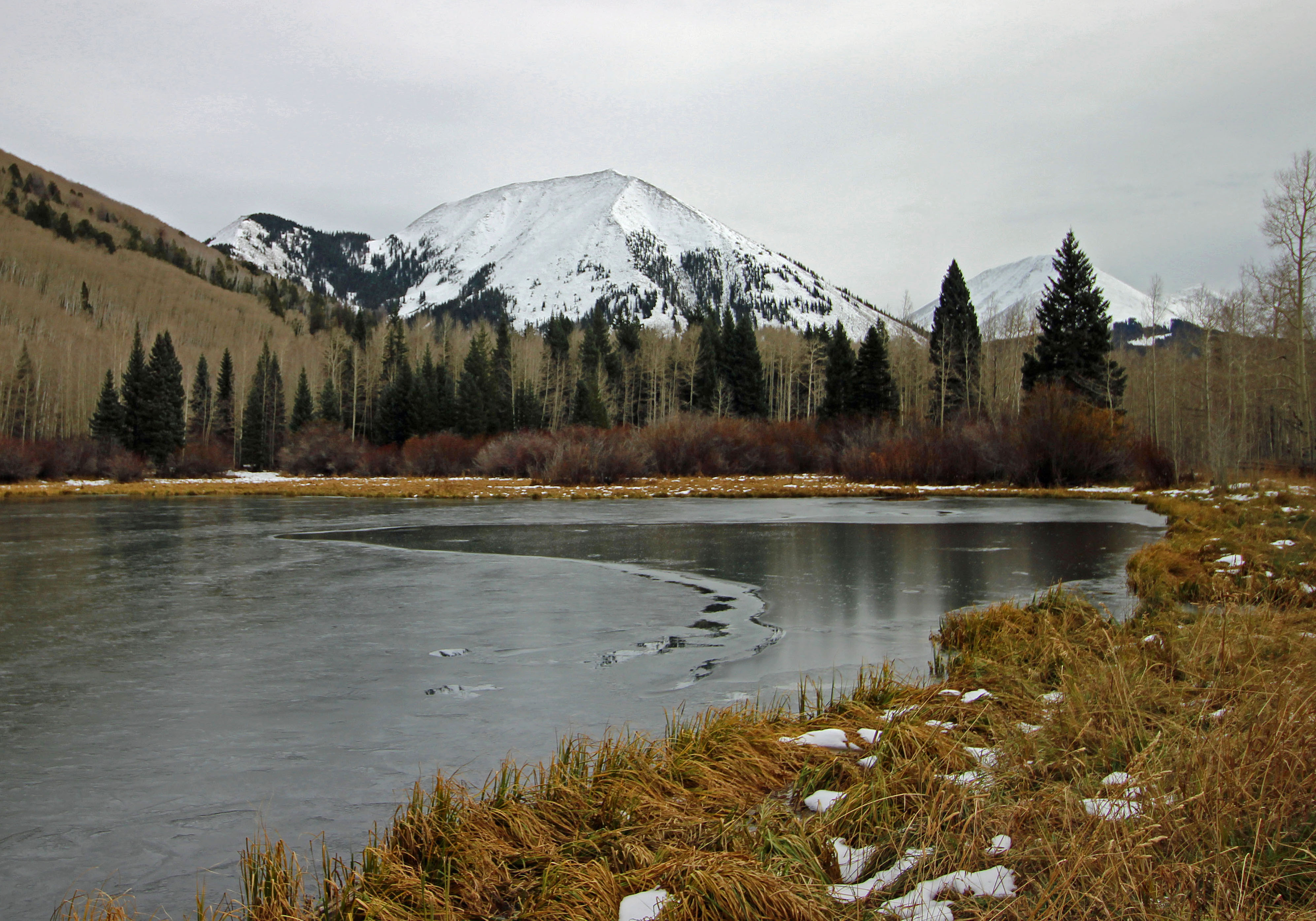
Mount Peale
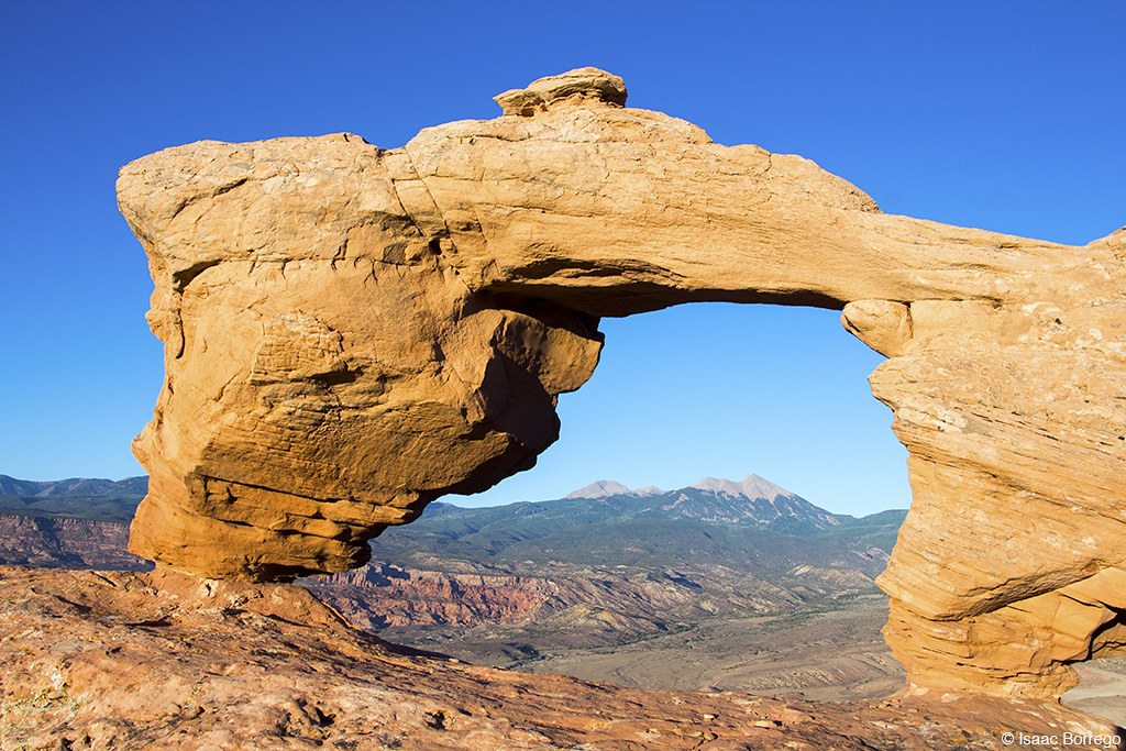
Tukuhnikivatz Arch
Social Club
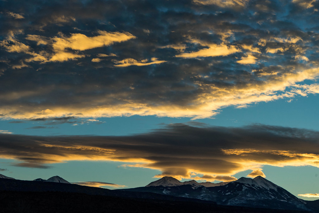
a hazy shade of winter
My lunch spot.
Hipsta Roadside

Stone Lined Road
UT SR 128 & Castle Valley Moab
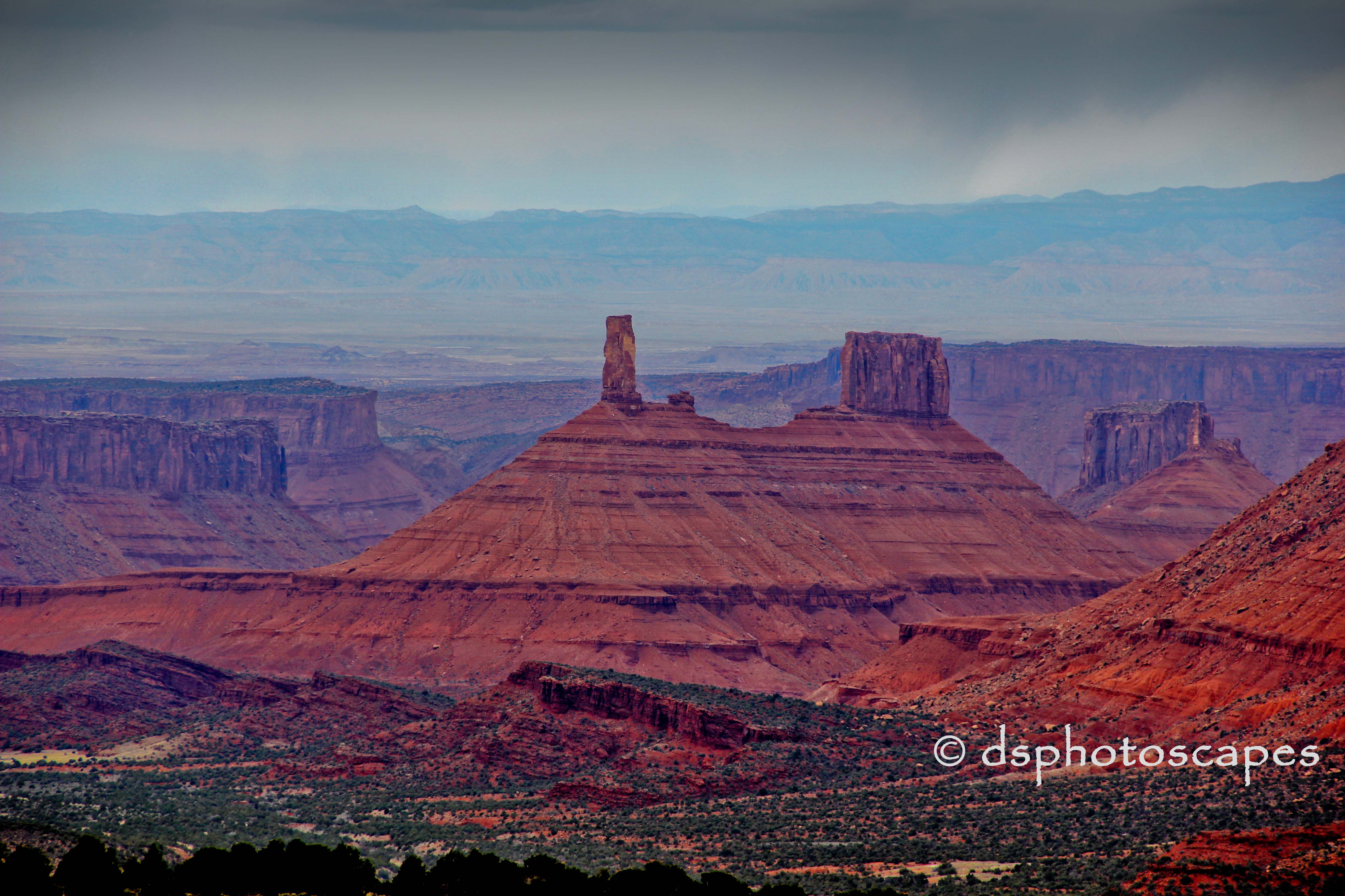
Castleton Tower in Rainy Castle Valley Utah
14:00 #RoadTrip
Continuing to the Mountains

Arches National Park

Sand Flats Road...

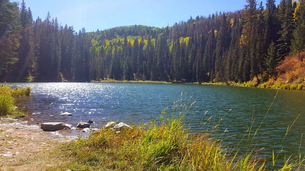
South Mountain Meadow
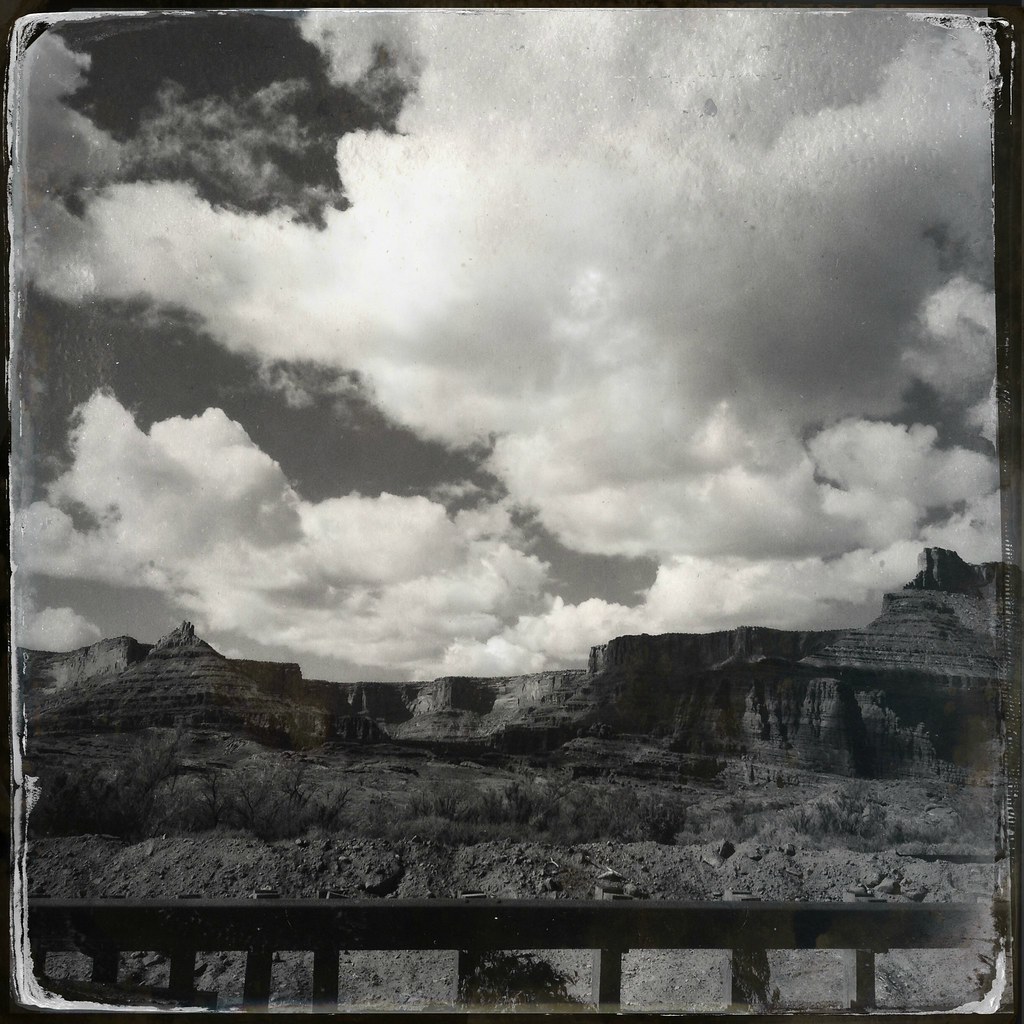
Red Rocks in a Haze
Topographic Map of 31 Abbey Rd, Moab, UT, USA
Find elevation by address:

Places near 31 Abbey Rd, Moab, UT, USA:
32 Pheasant Ct
Hole N" The Rock
11037 Us-191
Spanish Valley
3688 Spanish Valley Dr
3688 Spanish Valley Dr
1998 S Navajo Heights
Wilson Arch
71 Castleton Rd, Moab, UT, USA
La Sal
66 W Bailey Ln
121 W Pace Ln
Castle Valley
119 La Sal Rd
Castleton Tower
Arches Drive
Bureau Of Land Management Moab Field Office
Moab
17 Us-191
Best Western Plus Canyonlands Inn
Recent Searches:
- Elevation of Corso Fratelli Cairoli, 35, Macerata MC, Italy
- Elevation of Tallevast Rd, Sarasota, FL, USA
- Elevation of 4th St E, Sonoma, CA, USA
- Elevation of Black Hollow Rd, Pennsdale, PA, USA
- Elevation of Oakland Ave, Williamsport, PA, USA
- Elevation of Pedrógão Grande, Portugal
- Elevation of Klee Dr, Martinsburg, WV, USA
- Elevation of Via Roma, Pieranica CR, Italy
- Elevation of Tavkvetili Mountain, Georgia
- Elevation of Hartfords Bluff Cir, Mt Pleasant, SC, USA