Elevation of Willowpark Way, Sooke, BC V9Z 1J9, Canada
Location: Canada > British Columbia > Capital > Sooke > Sooke >
Longitude: -123.71357
Latitude: 48.3968242
Elevation: 54m / 177feet
Barometric Pressure: 101KPa
Elevation Map:
Satellite Map:
Related Photos:

Crow-2021-Sooke-Feb

HMCS Cowichan 162 drone shot

tasteful ZONO

2009-08-17_11-56-30 Beach at Iron Mine Bay

Drone View Westhills Langford

Whiffin Spit (Quimper Park in British Columbia) - (Selected by GETTY IMAGES) & (Selected for FLICKR EXPLORE)

Harlequin Park view of Kettle Creek Station housing

View from Mount Finlayson

Tower Point

Goodridge Peninsula is blocked

Sitting Lady Falls

Trail Convergence

Tachycineta thalassina (Male North American Violet-Green Swallow and chick)DSL

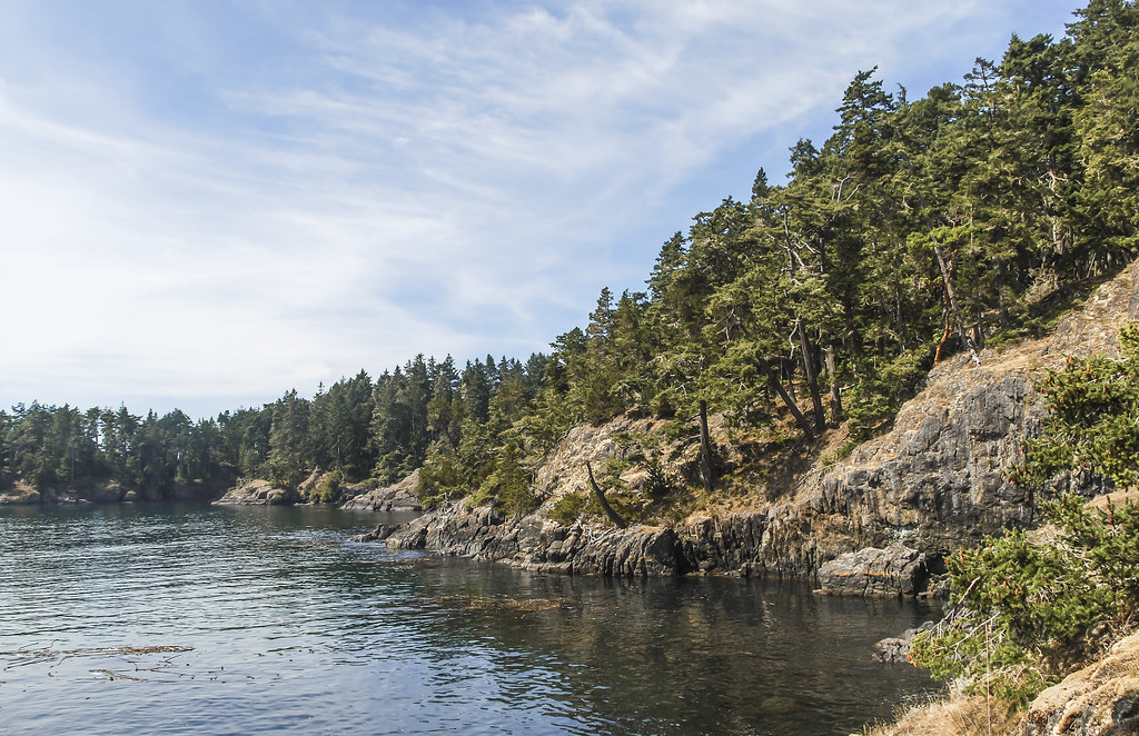
Sooke Basin Views

HMCS Cowichan 162 at Goodridge Peninsula
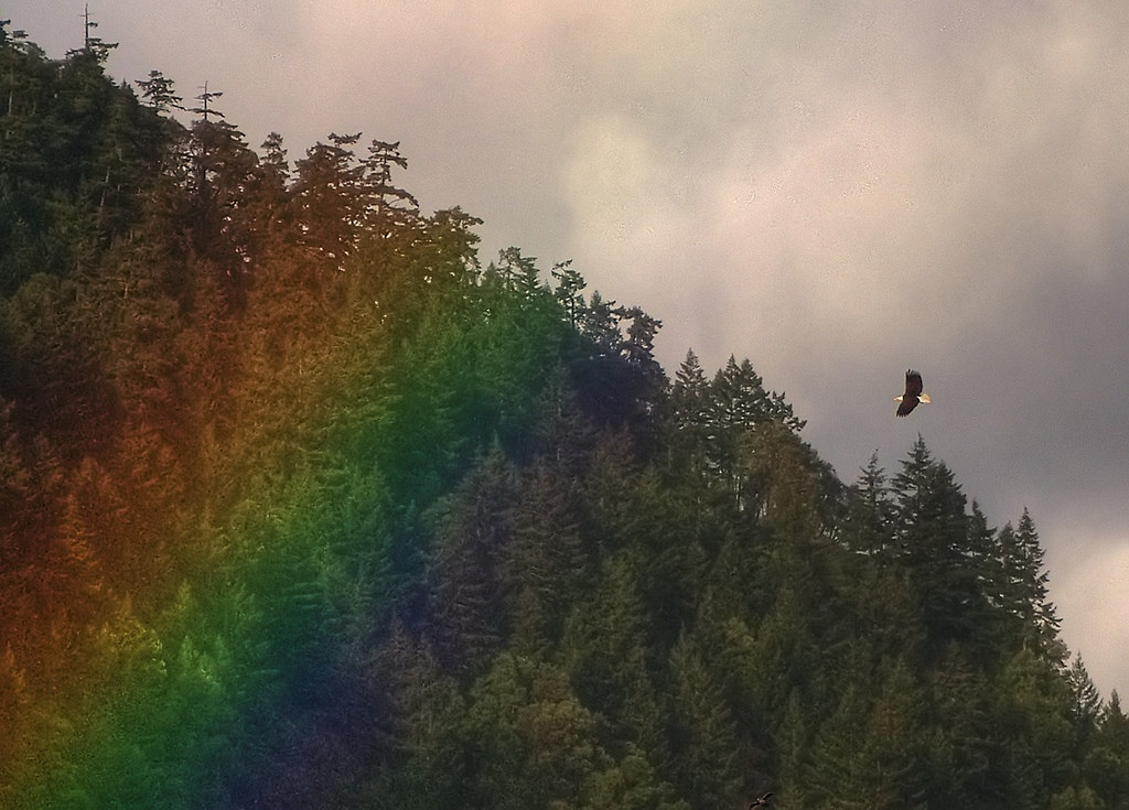
A Bald Eagle on the Hunt for Gold (HDR)

The (New) Great Trail on Vancouver Island

Ocean View ...

The Strait
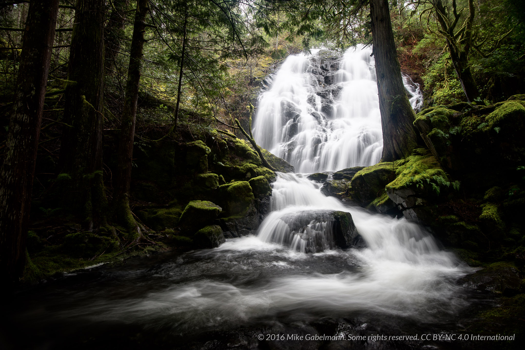
Mary Vine Falls 2

Another Golden Opportunity

2009-08-17_12-22-34 Islet

2009-08-17_12-35-00 Coastal Trail

2009-08-17_12-36-08 East Sooke Park

2009-08-17_11-50-02 Iron Mine Bay

2009-08-17_11-52-16 Iron Mine Bay

2009-08-17_11-54-18 Iron Mine Bay

2009-08-17_11-48-00 Iron Mine Bay
2009-08-17_12-17-48 Rocky Coast
2009-08-17_12-00-16 Iron Mine Bay

2009-08-17_11-58-42 East Sooke Park

West Coast Rainforest
2009-08-17_12-22-12 East Sooke Park

Even Flow, Sooke River, Vancouver Island, BC, Canada

2009-08-17_11-59-34 Rocky Shore

2009-08-17_11-53-32 Iron Mine Bay

2009-08-17_11-57-24 East Sooke Park
2009-08-17_12-25-12 Just Getting Started

2009-08-17_12-36-22 East Sooke Park

2009-08-17_11-58-26 Iron Mine Bay

Arbutus Canyon Trestle Goldstream Park

2009-08-17_11-51-18 Iron Mine Bay
Topographic Map of Willowpark Way, Sooke, BC V9Z 1J9, Canada
Find elevation by address:

Places near Willowpark Way, Sooke, BC V9Z 1J9, Canada:
2537 Nickson Way
2532 Nickson Way
2436 Sunriver Way
2430 Driftwood Dr
6563 Grant Rd E
Sooke
6765 Rhodonite Dr
6238 Grant Rd W
6838 Grant Rd W
2614 Otter Point Rd
1934 Caldwell Rd
1820 Maple Avenue South
Sooke
2163 Winfield Dr
35 Seagirt Rd
25 Seagirt Rd
5764 Siasong Rd
Minnie Road
1598 O'neill Rd
1673 Narissa Rd
Recent Searches:
- Elevation of Corso Fratelli Cairoli, 35, Macerata MC, Italy
- Elevation of Tallevast Rd, Sarasota, FL, USA
- Elevation of 4th St E, Sonoma, CA, USA
- Elevation of Black Hollow Rd, Pennsdale, PA, USA
- Elevation of Oakland Ave, Williamsport, PA, USA
- Elevation of Pedrógão Grande, Portugal
- Elevation of Klee Dr, Martinsburg, WV, USA
- Elevation of Via Roma, Pieranica CR, Italy
- Elevation of Tavkvetili Mountain, Georgia
- Elevation of Hartfords Bluff Cir, Mt Pleasant, SC, USA